NYC Parks and Planning

Walking through all these Parks

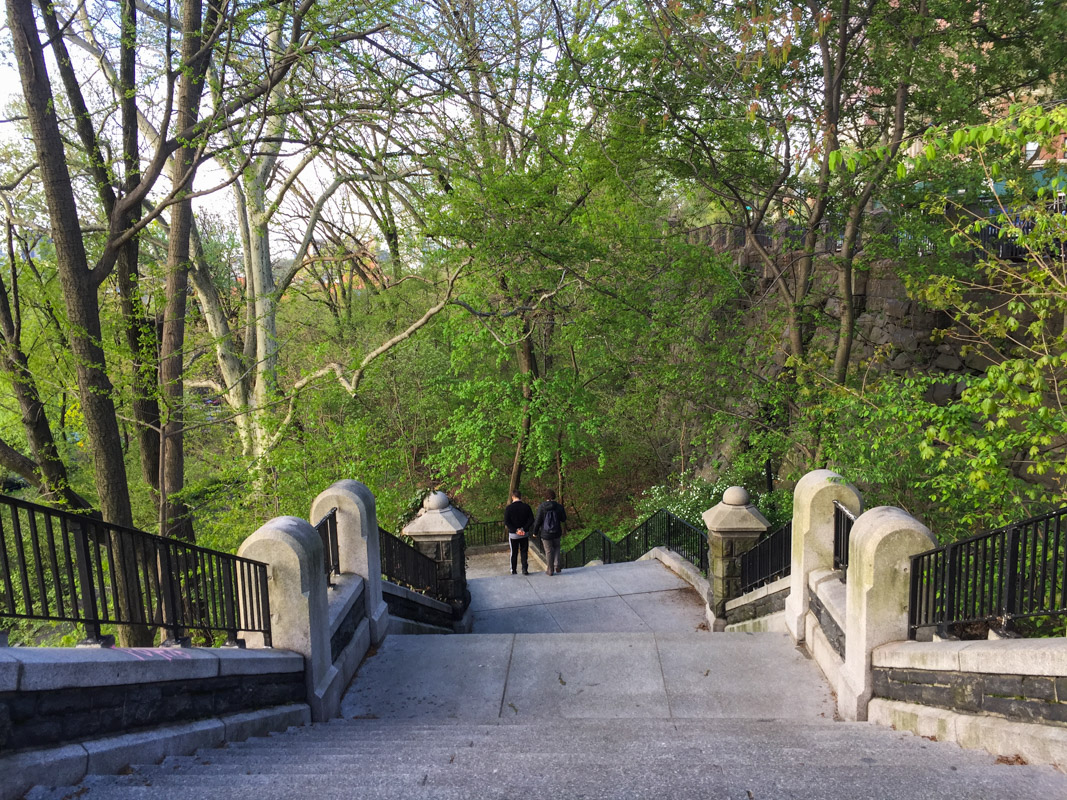
Ever since we moved here we have been frequent visitor to Morningside Park. We never actually spend time in the park though, it’s just a place we pass through while walking from the east side to the west side of Manhattan. It takes 30 minutes on a good day to do the trek from our apartment to Columbia University. And we get to pass through Marcus Garvey Park and the Mount Morris Park Historic District on the way too. There are no tall buildings like the ones you see downtown here. Well, there are a couple of tall houses but no real abundance of them. I usually go through the northern part of Morningside Park, but in the southern end there is even a beautiful waterfall! Maybe I’ll try to go by there this week.

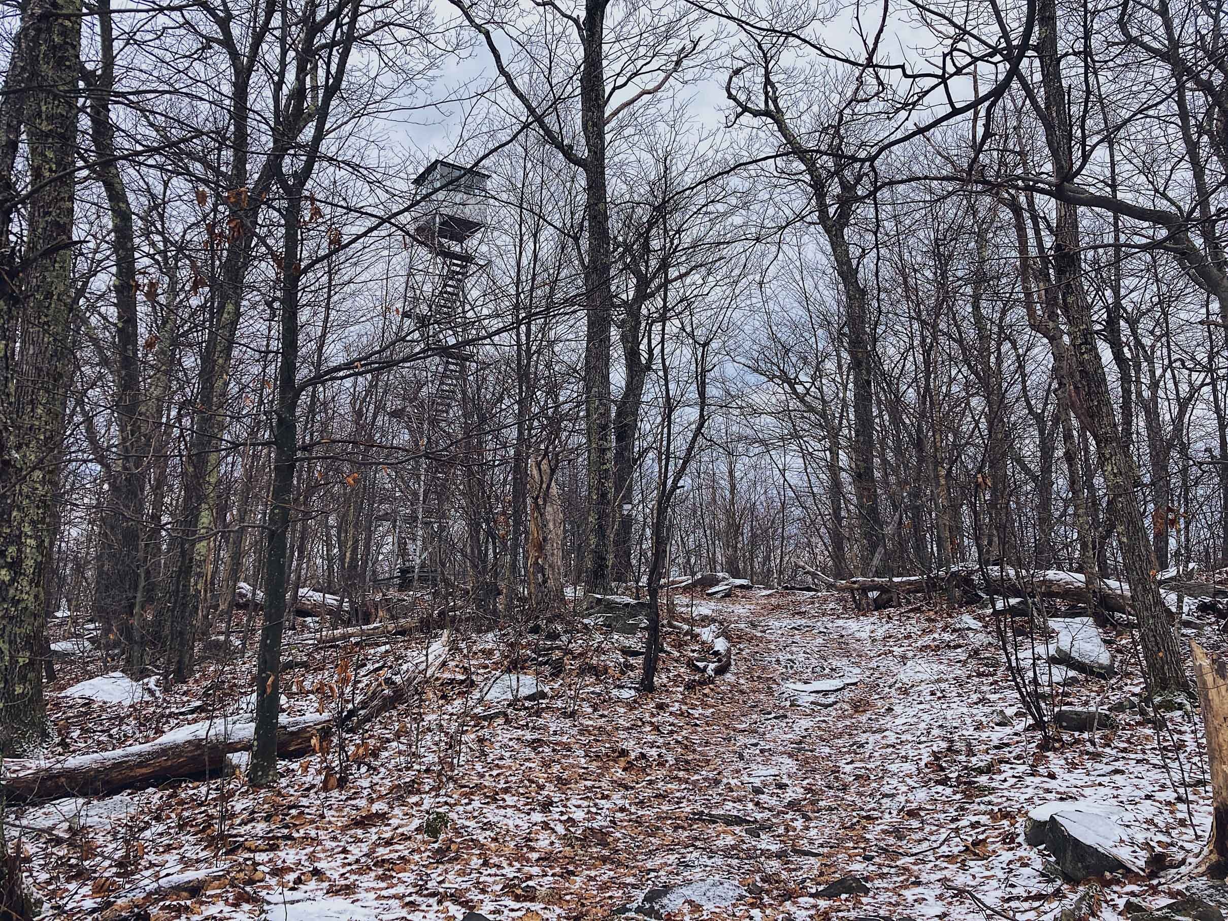
Morningside Park Late April:

As I have mentioned earlier, I love stats, charts, documentation etc, and NYC has created this awesome 3D map of all the buildings in Manhattan, and you can color them by height. If you take a look at East Harlem you can see that the majority of buildings are 10-25 m and in central Harlem they get a bit taller but still below 50m (depending on the speed of your internet and power of your computer the 3D map might take a while to load). Of course there are a few taller ones, but its pretty eyeopening to see on a map like this.

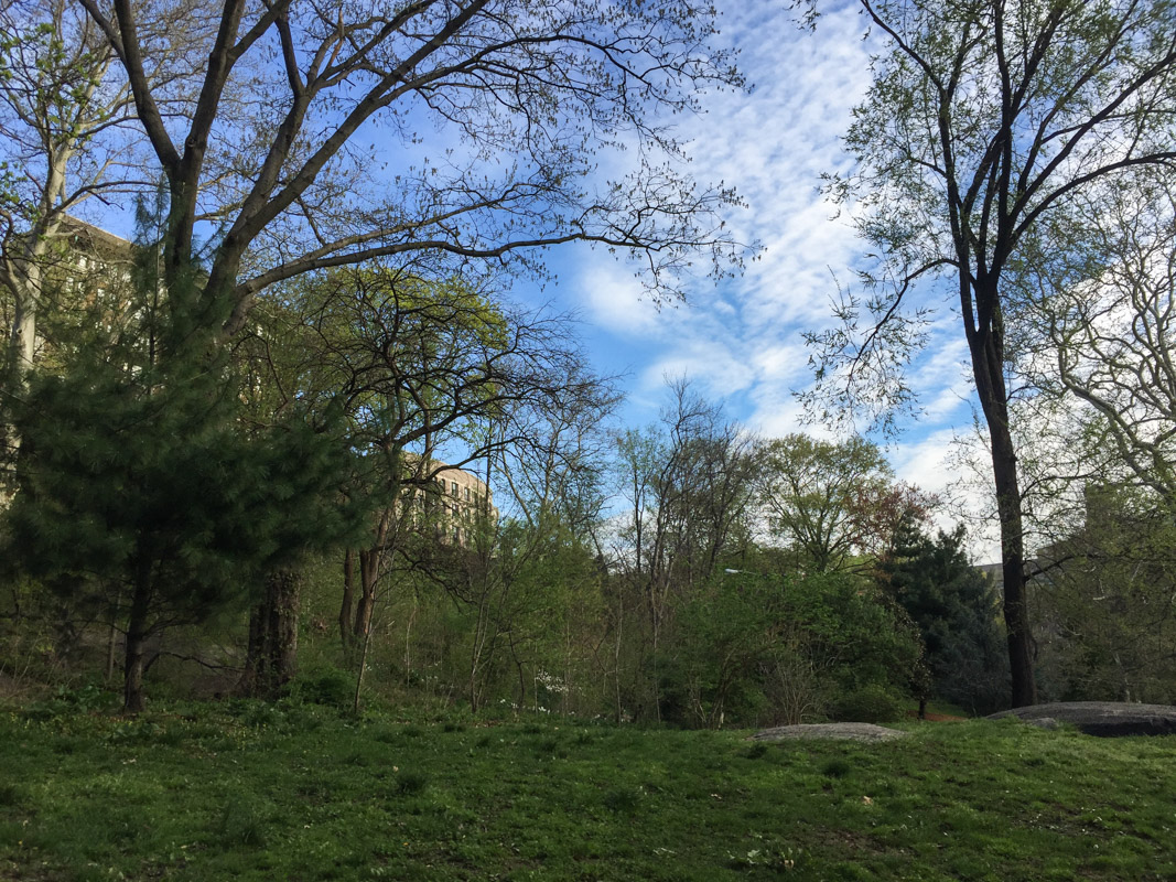
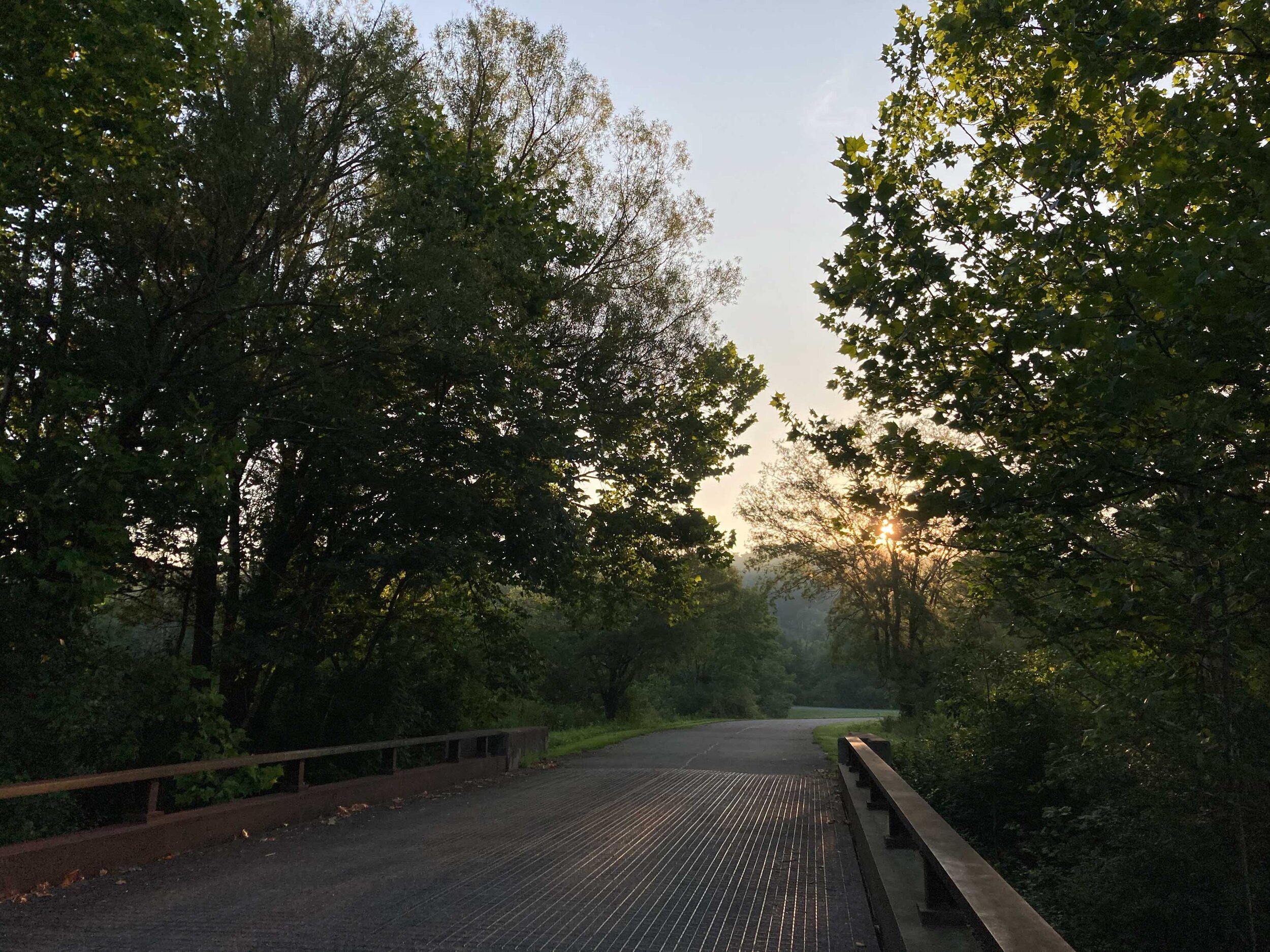
Marcus Garvey Park mid to late April:

If you are interested in the demographics of the greater NYC area you can take a look at this map pdf from NYC department of city planning, which also has all the different neighborhoods listed. What you might notice too, is how the topography changes as you move throughout the city. Walking from the east side to the westside through Morningside park you will walk up three sets of long stairs. If you look at the pdf map I just mentioned, you can clearly see that the west side lays at a higher elevation compared to the east side. You can also se the specific demographics for all the different larger neighborhoods by going to NYC planning. NYC planning also have some more detailed demographic facts about all the different neighborhoods if you are into that. In some way NYC is a large model city, there are ton of studies about anything in the city and Manhattan. Air pollution, water quality, green roofs, sustainability and the list goes on.

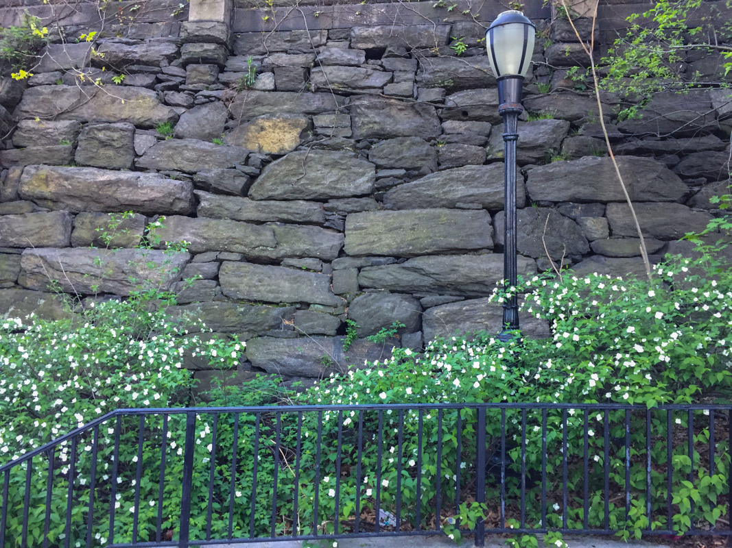
Mount Morris Park Historic District:

A couple of weeks ago I wrote about all the great maps and info you can get from NYC Parks and Central Park Conservancy. If you are interested in seeing what tree species you pass during your walk you can take a look at NYC Parks list of all trees in NYC, its quite incredible if you think about it. They have mapped every single tree in the city, of course there might be some lag if a tree dies or so. There you can also report if a tree needs attention by NYC Parks. You will be able to also click on a tree and see what species it is. It has a count for all the trees in the different neighborhoods and also how much CO2 the city is offsetting by having all of those trees! The map is also color coded if you zoom out, based on the number of trees, where darker green corresponds to a high number of trees, and lighter green to low. Does anyone know of similar maps in other cities?

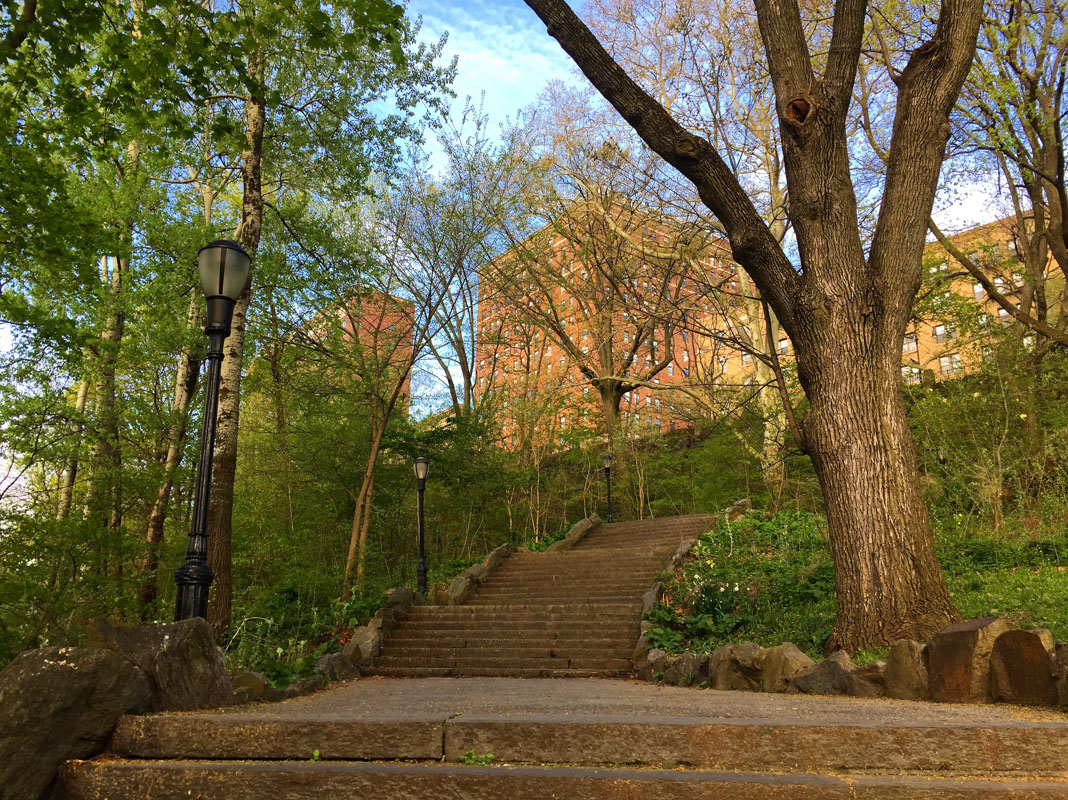
Morningside Park Late April:

A Spring that Lasts Forever

IMG_2072-April 03, 2019.jpg

When I lived in Alaska springtime was so short that you missed it if you blinked, I wrote about that last week. In Madison I don’t remember spring being that spectacular, other than the Magnolia outside my work blooming. And maybe that was one of the reasons but I also think spring came very late to Madison and Wisconsin last year.

April 28th 2018, Wyalusing State Park, Wisconsin:

When we first got here to NYC I was actually quite surprised by all the trees and green space almost everywhere on Manhattan (I mean, not including Central Park of course). Madison also has a huge amount of green space, even more than NYC, and in Alaska you basically lived in the forest so. NYC Parks also has this collaboration with the community called Green Thumb as I mentioned earlier, and the community gardens are always so pretty. There are quite a lot of them around Harlem. We also have quite a few large parks nearby. Randall Island is an island in the East River, then we have Marcus Garvey Park and Morningside Park here in Harlem and around Columbia.

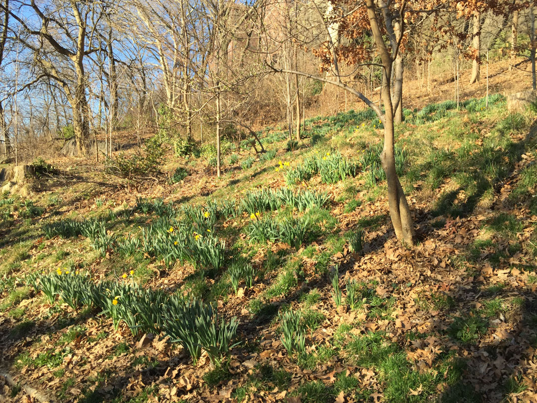
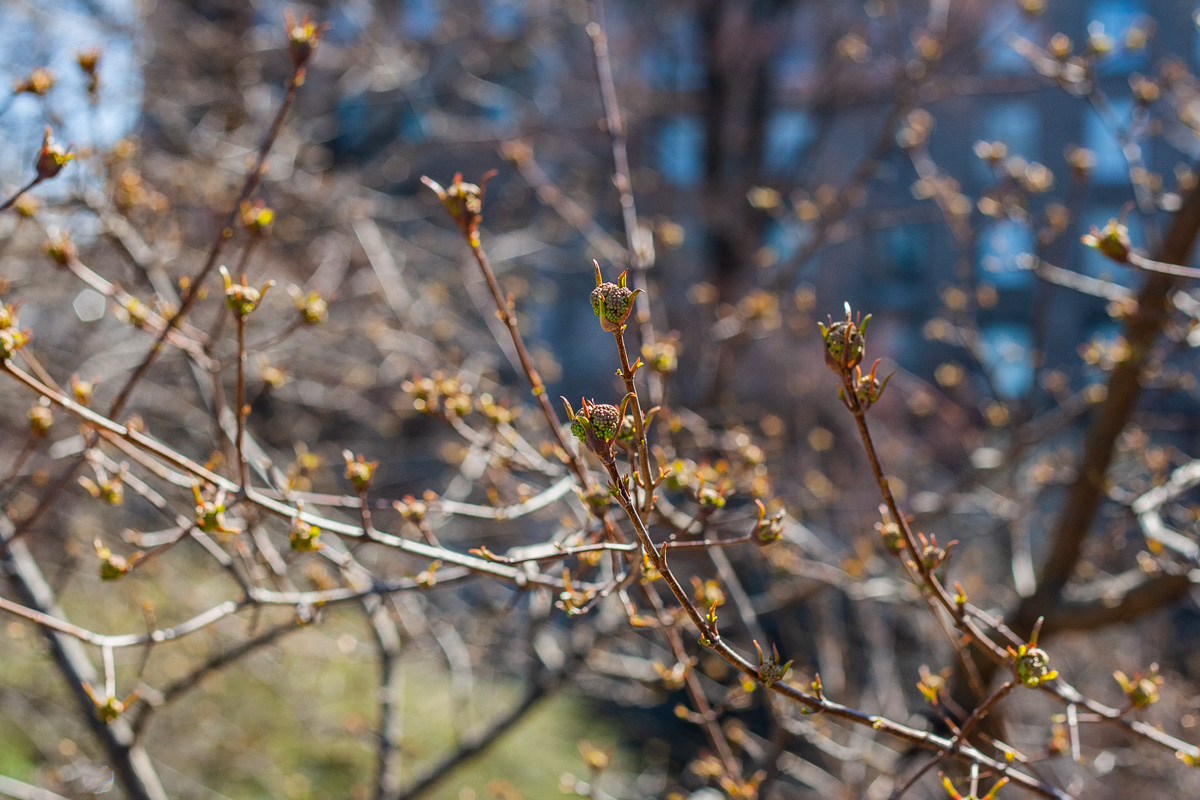
March 26th 2019, Morningside Park:

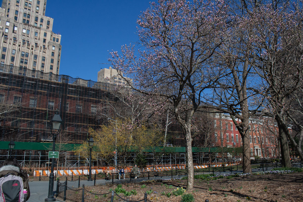
April 1st 2019, Washington Square Park:

April 3rd 2019, Central Park:

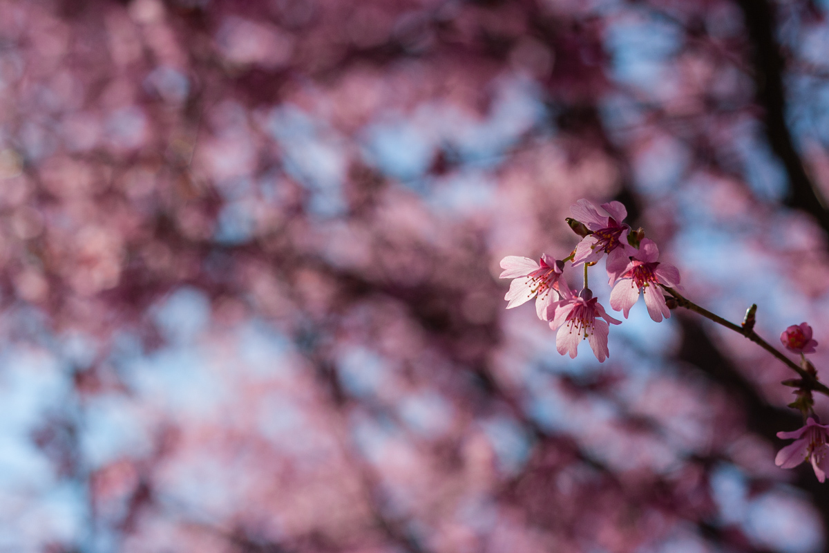
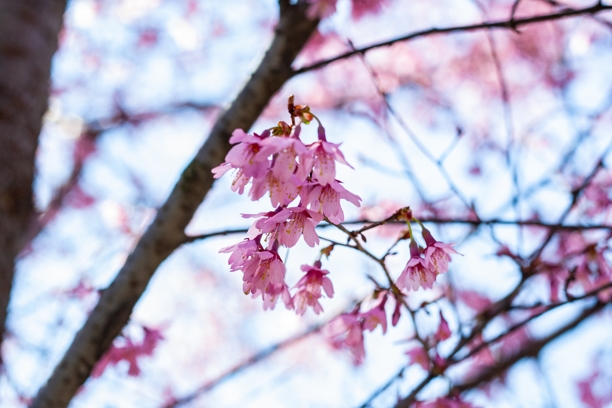
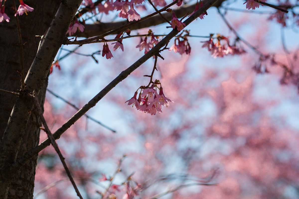
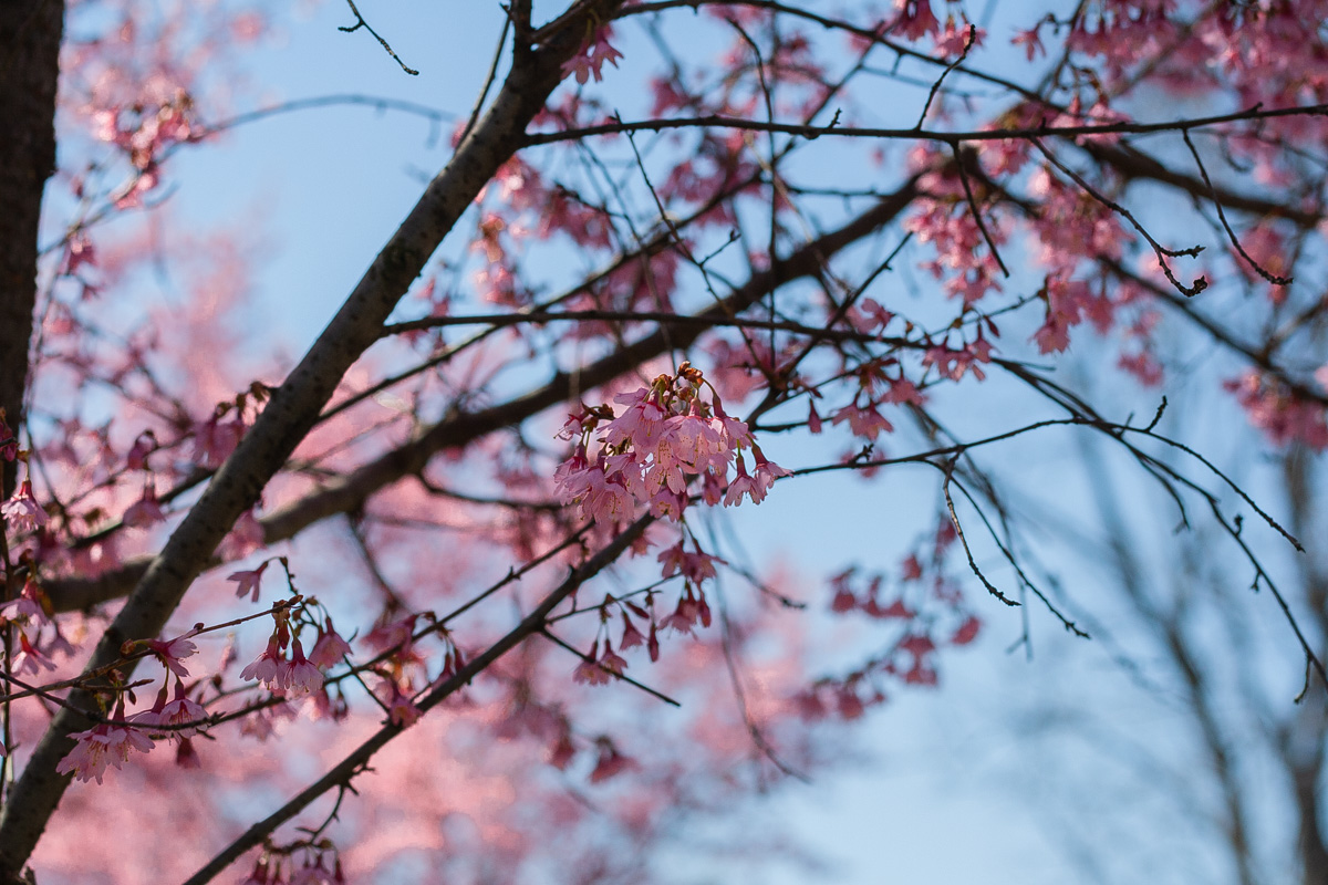
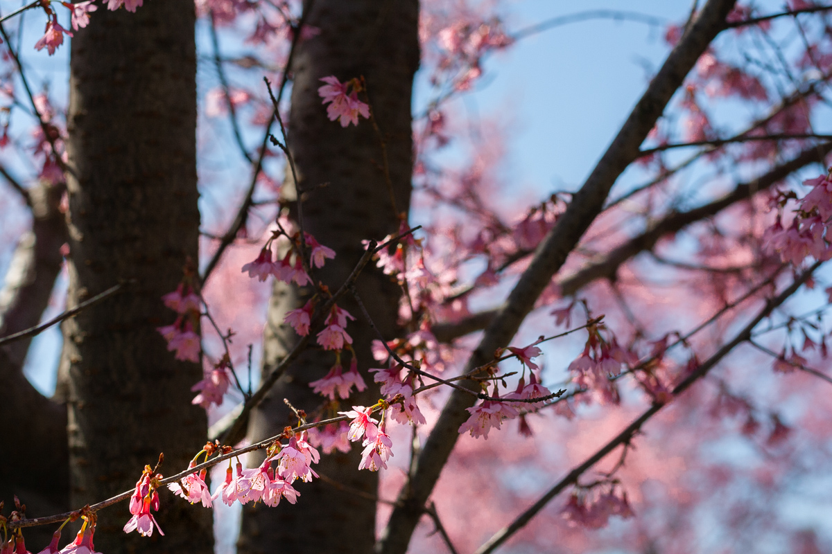
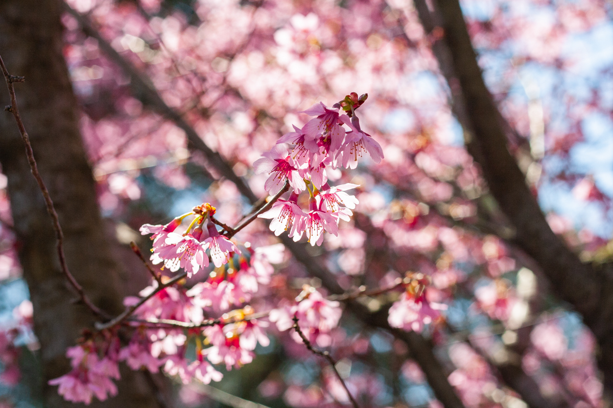
We went to Colorado last weekend and the cherries on the west side of Onassis reservoir had just started to bloom. Once I got back I was unsure how much would still be blooming, and to my surprise it still was. Yesterday we walked by the cherry trees on the west side of the reservoir again and those trees are on their way out. But there are a ton of other cherry trees (I think they are) still waiting to bloom, and on the east side of the reservoir there are trees blooming too.

April 3rd 2019, Central Park:

Another thing I am quite surprised about are all the apps and scripts and just about anything that has been created for users who are interested in NYC and everything you could possibly think of. For instance I found this guide from the Central Park Conservancy which guides you through all the spring blooming of Central Park. According to the guide there are Yoshino Cherry trees on the east side, and Kwanzan trees on the west side of the reservoir. But the ones on the west side look more like Okame Cherry trees. The west side cherries are more pink, if those are what I have been seeing, while the Yoshino are more white (at least if you stand on the west side looking across the reservoir and the east side cherry trees). You can also visit the bloom guide for the most popular flowers on their website, and you can also head to NYC parks where they list what trees and flowers have started to bloom.

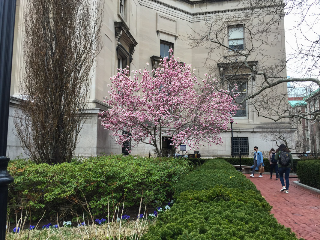
Around Columbia Cherry trees and Magnolias are in full bloom or at least reaching full bloom. I am used to Magnolia having a full bloom for a few days before it starts to taper off. But that all also depends on temperature and rain of course.

You'll Bleed to Death Before We would Ever Get Back

Flashback Friday

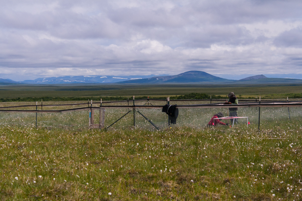
Fieldwork in Nome, Alaska

July 2018

I was lucky enough to help out with some fieldwork in Alaska again, and what a whirlwind the days before that was. We pretty much packed up all of our belongings and put them in a big container, to be shipped to NYC (well Actually, New Jersey) at a later date. We scrubbed and cleaned our place from top to bottom. Not that it was super dirty, but that is how I am, I want to leave it all clean. It was also because our friends were going to move in after us. Luckily we arrived in NYC and Manhattan, East Harlem on one of the hottest weekend, we reached 104F or so….. First, we struggled to find parking. After that we made a lot of trips back and forth to the car, until we finally were done. The apartment wasn’t that cool either, but it had AC’s, which we quickly turned on as we tried to survive this heatwave. As we sat down in the living room with a beer that evening I saw a mouse in our house. Two days later I was watching mountains and glaciers from an airplane window on my way back to Alaska and this time Nome, where the temperature was looming around 50F. It did reach 70F just in time for my birthday.

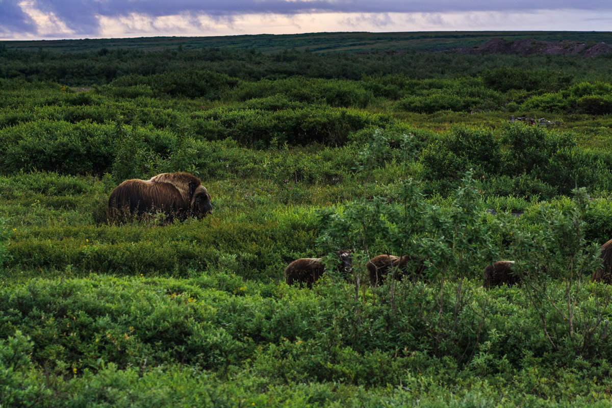
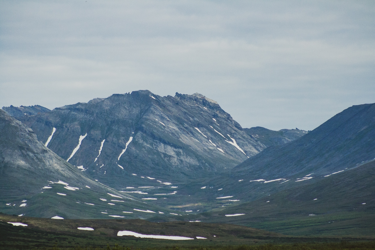
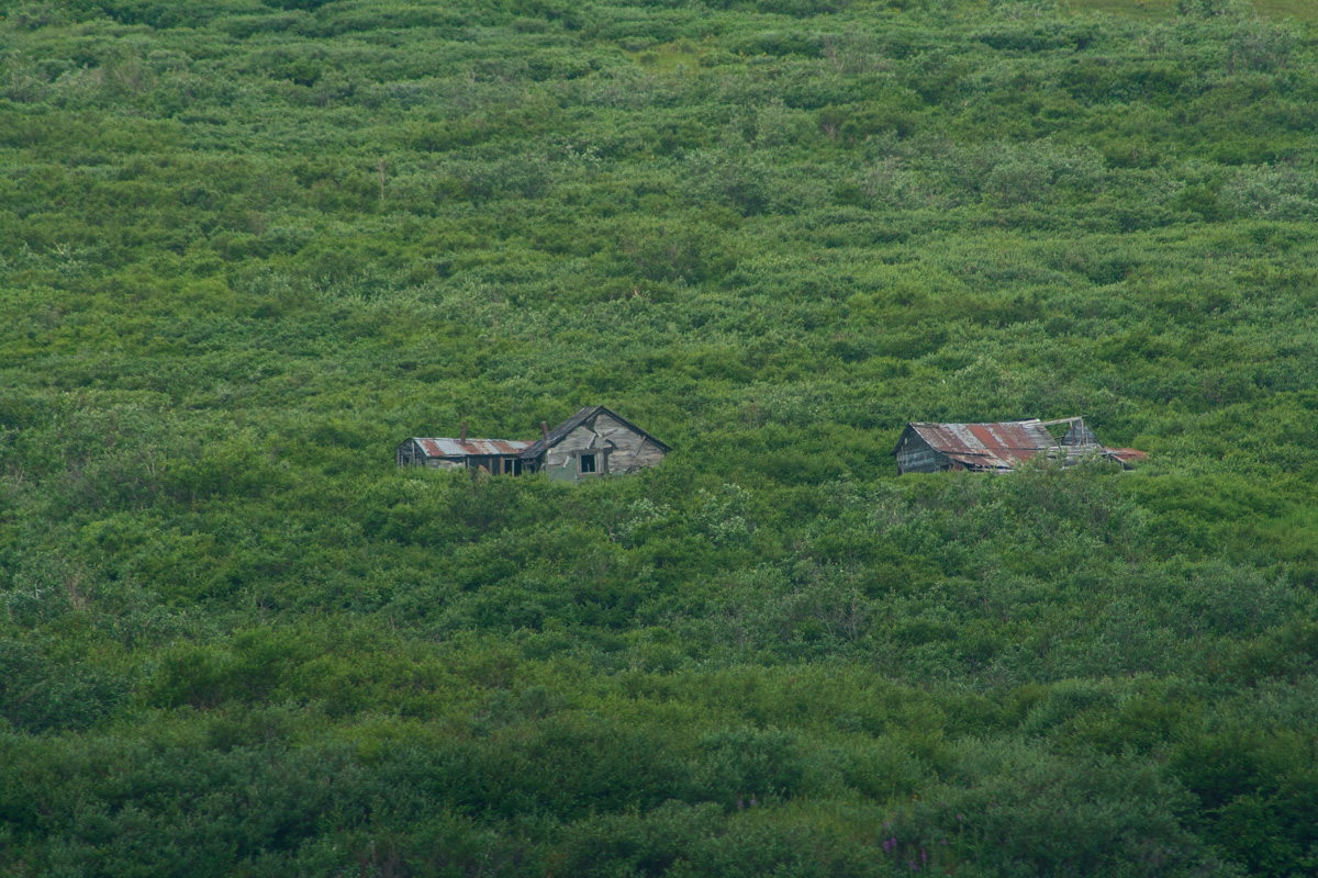
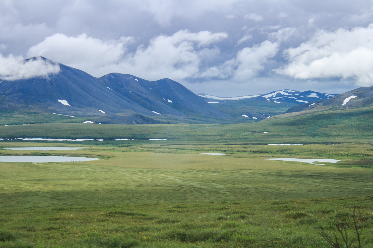
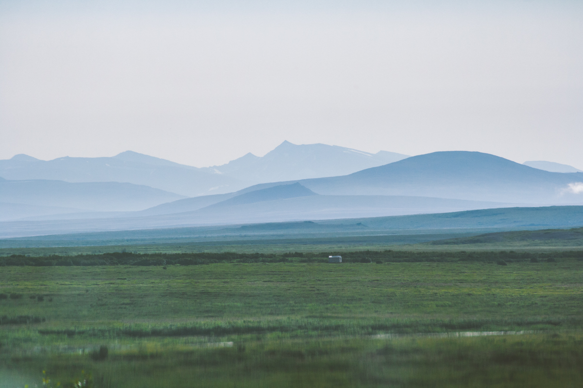
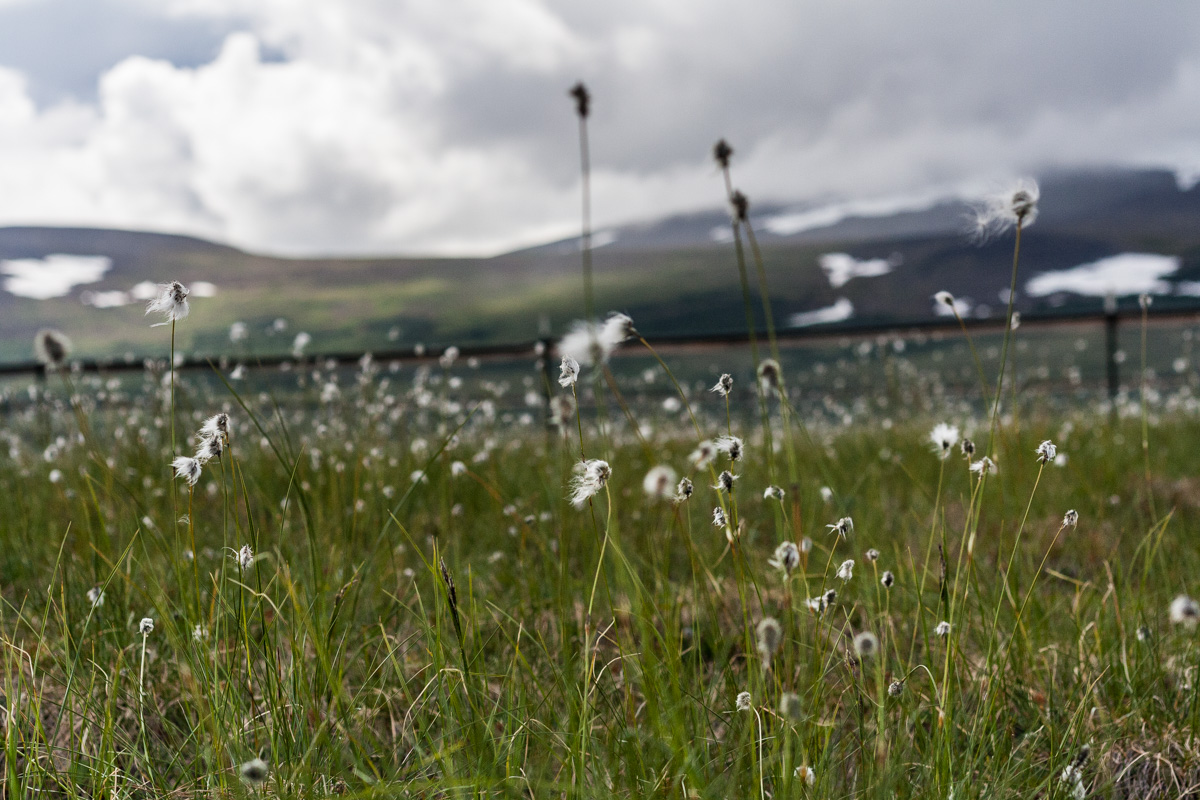
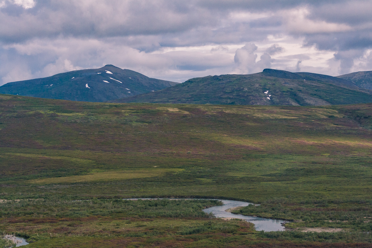
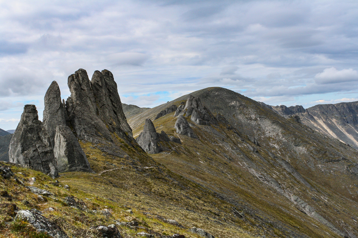
Summers in Alaska are almost like a fairytale. The endless nights will keep you up longer than you should, but come morning you still have enough energy to last through the day, and night again, and again and again. We spent an hour or so in the truck every morning to get out to the field site. Away from the ocean and the small town, towards the mountains and the wilderness, and the end of the road. The only way to get to Nome in the summertime is by plane, or boat I suppose. In the wintertime you can mush, snow mobile, ski, walk or bike as well. It’s strange to think about, a place in the wilderness isolated from the rest of the world. And out there in the mountains you are really isolated from the world. It makes it even more important to think about safety. If you hurt yourself out here, breaking a leg or god forbid cut yourself in the thigh you are in trouble. Almost everyone I know cary a pocket knife, or knife of some sort when they are out in the field. You need to to cut zip ties, or anything else you probably would never have thought of before. But it is important to know where and on what surface you are cutting something. It almost comes natural to place things in your lap and fix them, but if you slip with your knife on your thigh you’ll bleed to death before you could ever get back to cell service and the hospital out here. There is a reason why it’s a really good idea to have the wilderness first responder class in your backpack. I do not have that, but I have taken a couple of short classes about general safety in the field. Those are far from the deep knowledge you will get from the NOLS class though. Have you taken any safety classes focused on adventures in the wilderness? I am going to try to take one of those classes next time the opportunity comes up.