Posts filed under The great wide open

You'll Bleed to Death Before We would Ever Get Back

Flashback Friday

Fieldwork in Nome, Alaska

July 2018

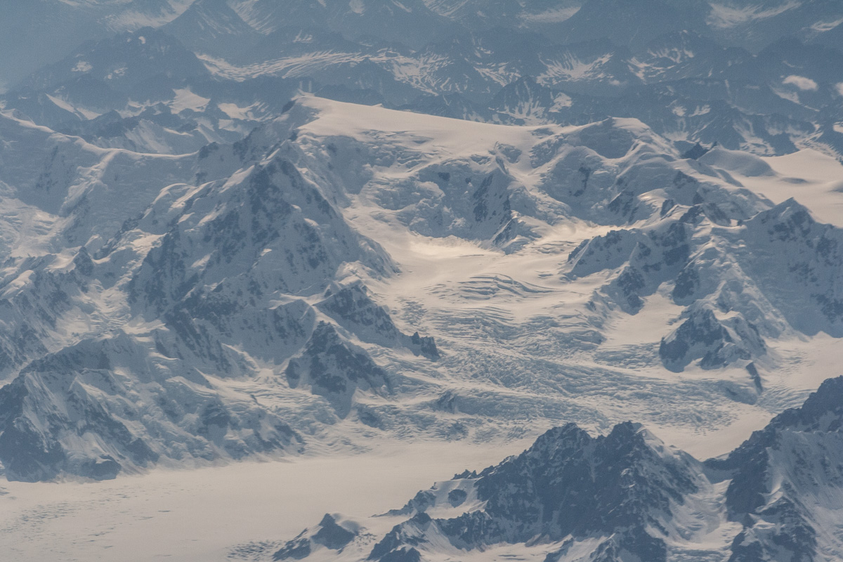
I was lucky enough to help out with some fieldwork in Alaska again, and what a whirlwind the days before that was. We pretty much packed up all of our belongings and put them in a big container, to be shipped to NYC (well Actually, New Jersey) at a later date. We scrubbed and cleaned our place from top to bottom. Not that it was super dirty, but that is how I am, I want to leave it all clean. It was also because our friends were going to move in after us. Luckily we arrived in NYC and Manhattan, East Harlem on one of the hottest weekend, we reached 104F or so….. First, we struggled to find parking. After that we made a lot of trips back and forth to the car, until we finally were done. The apartment wasn’t that cool either, but it had AC’s, which we quickly turned on as we tried to survive this heatwave. As we sat down in the living room with a beer that evening I saw a mouse in our house. Two days later I was watching mountains and glaciers from an airplane window on my way back to Alaska and this time Nome, where the temperature was looming around 50F. It did reach 70F just in time for my birthday.

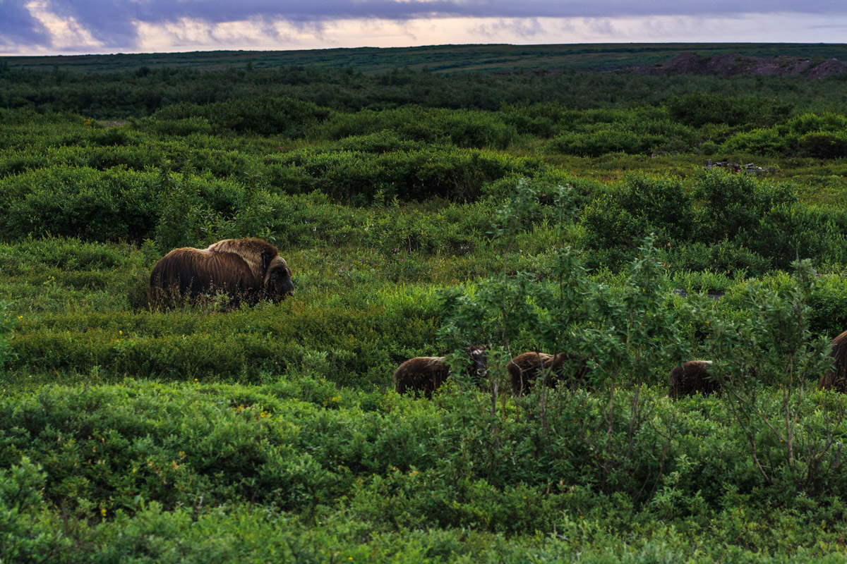
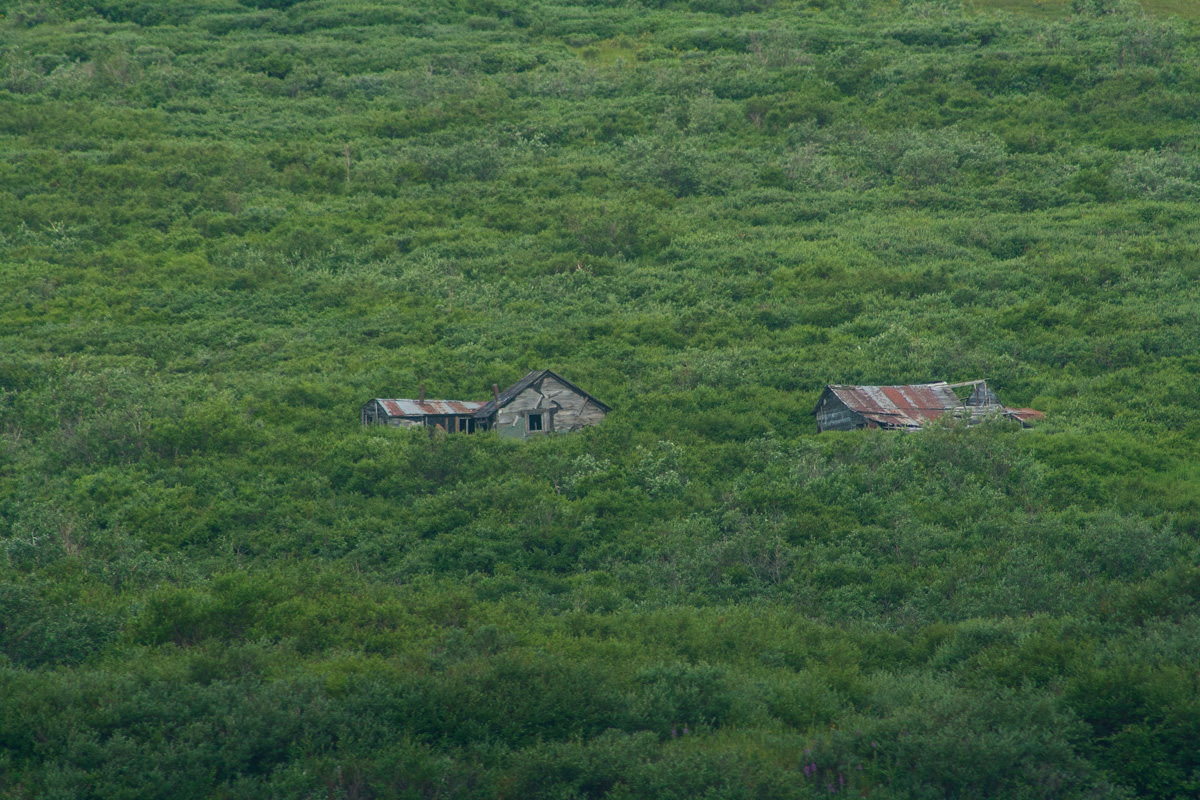
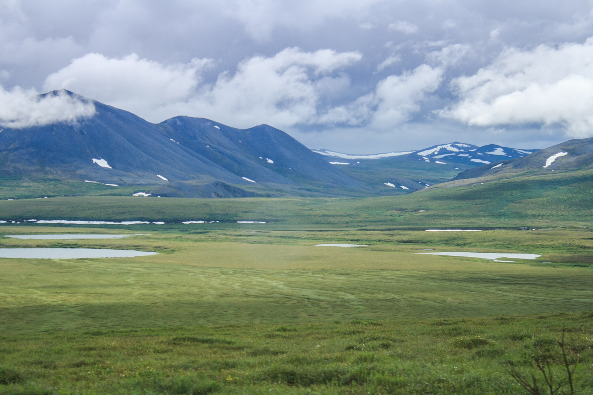
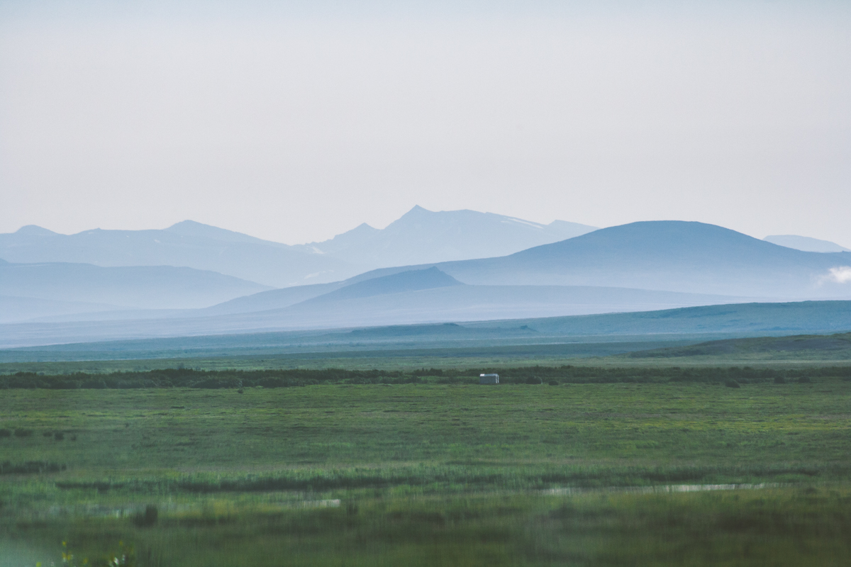
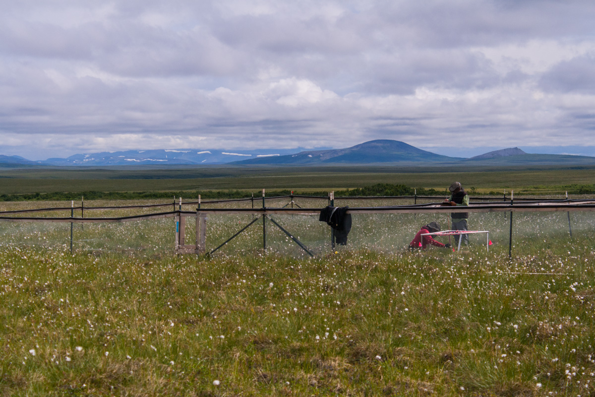
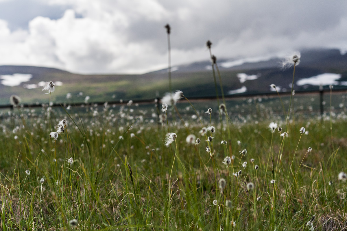
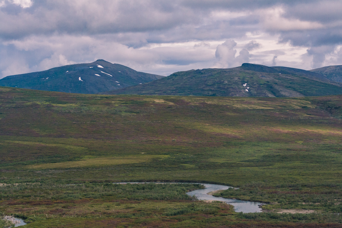
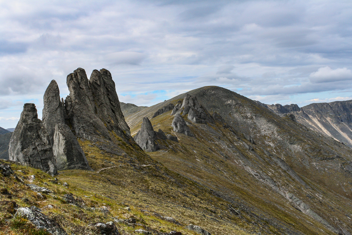
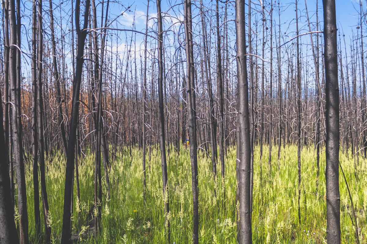
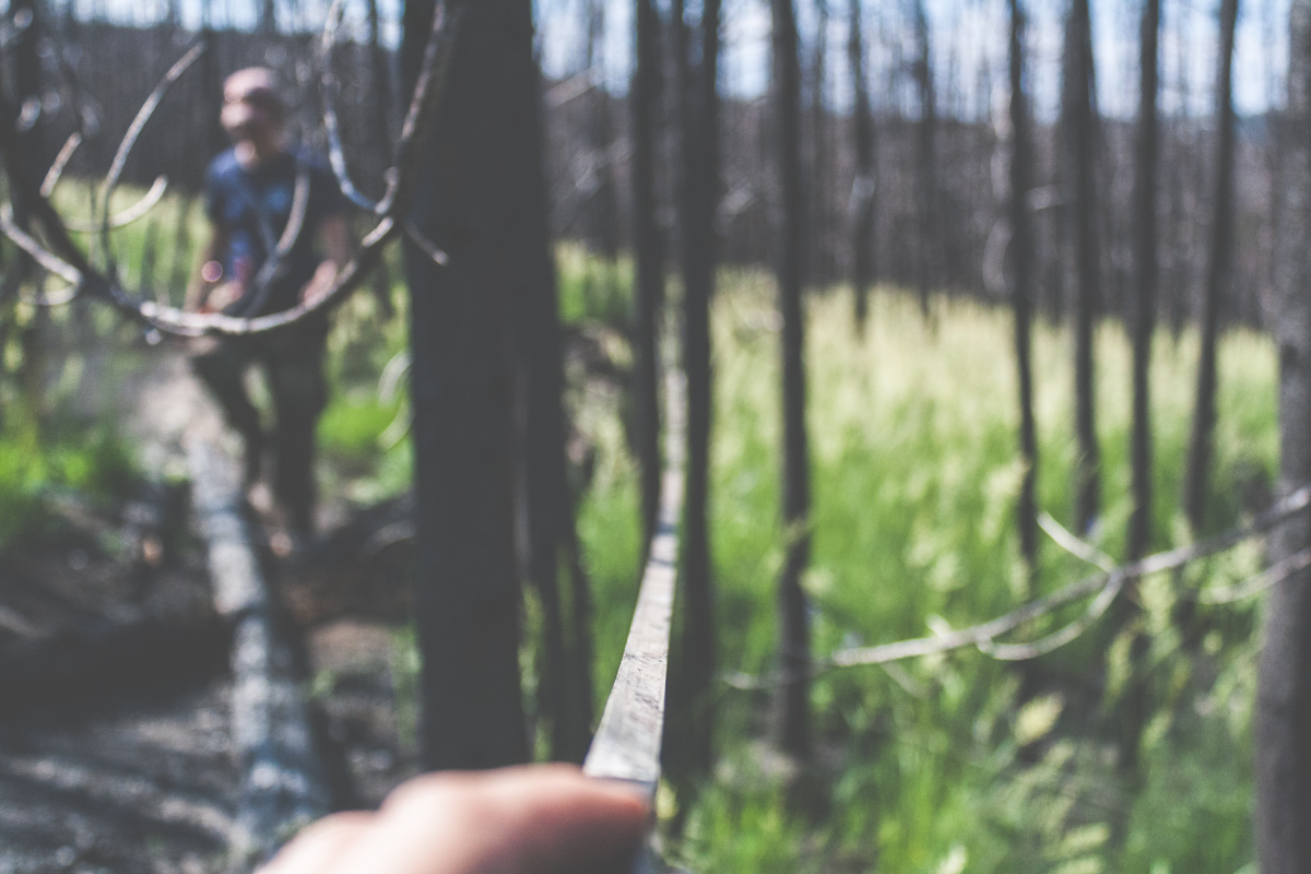
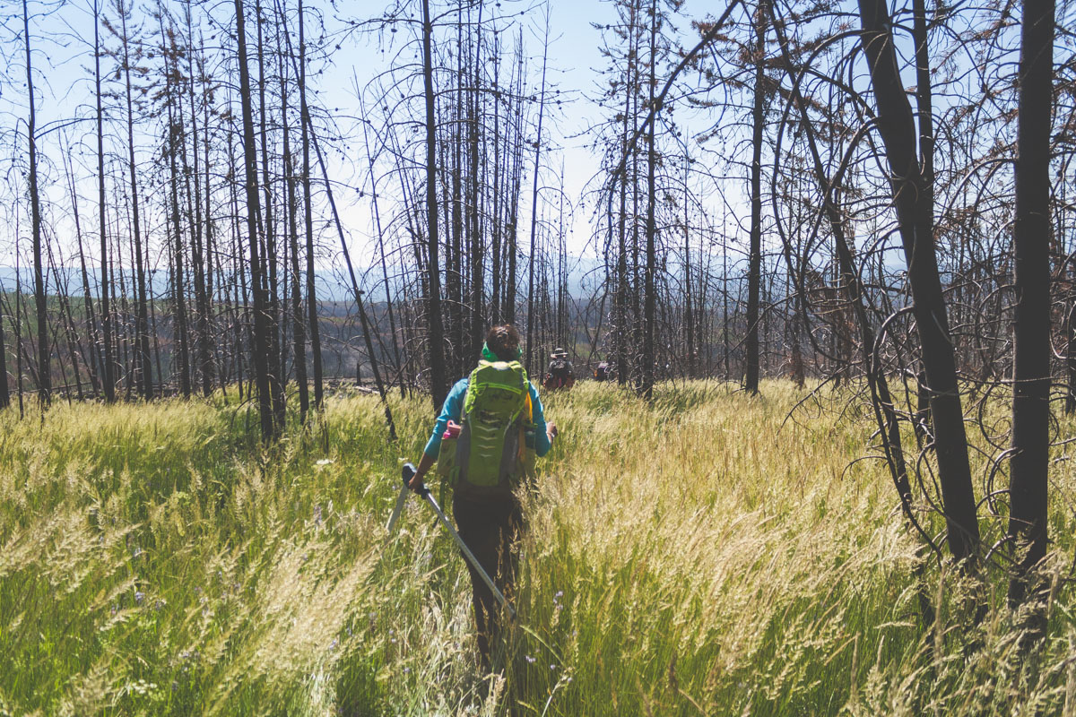
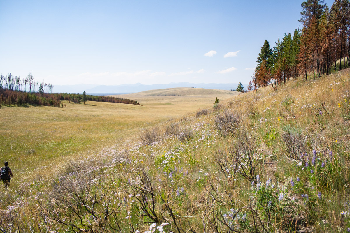
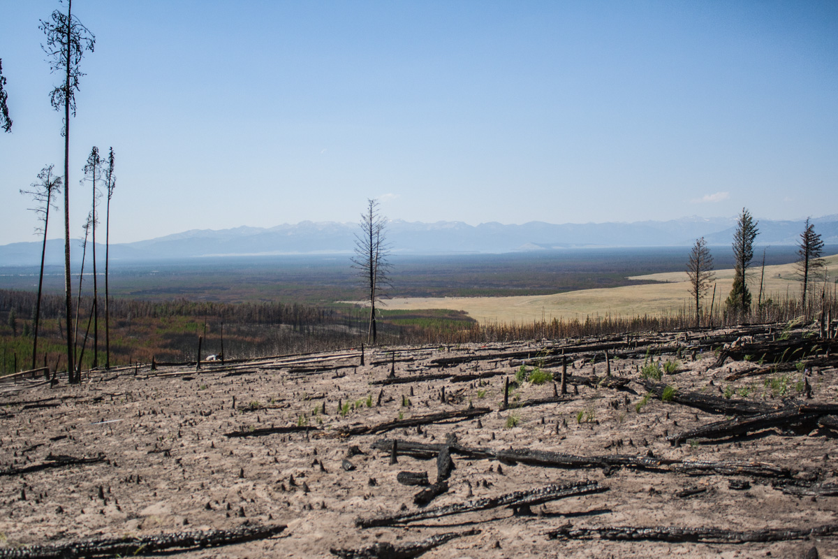
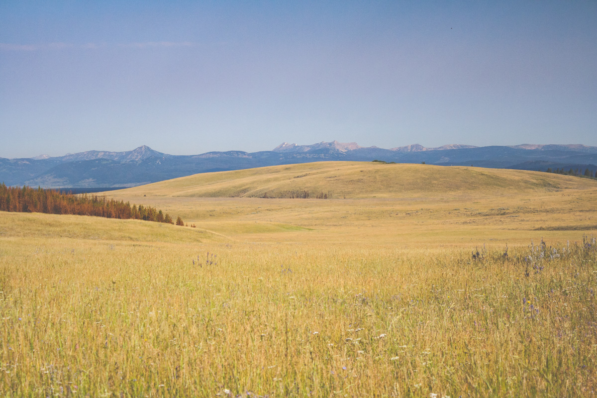
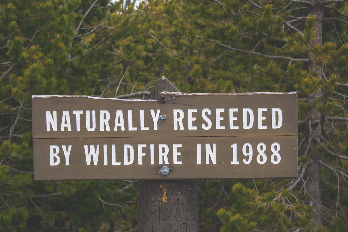
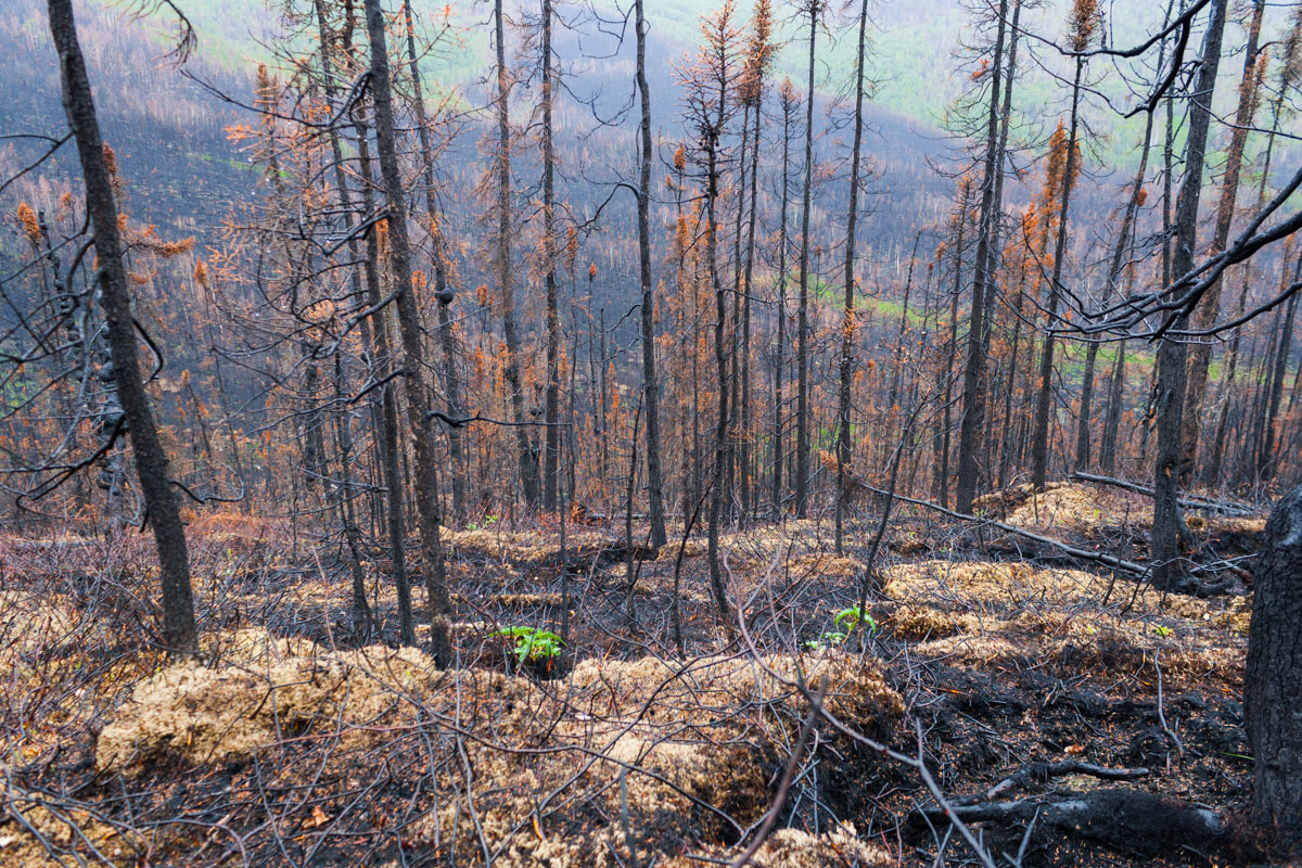
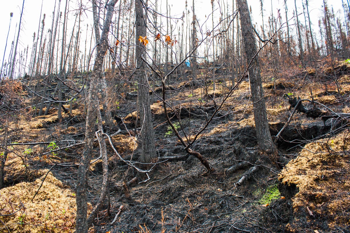
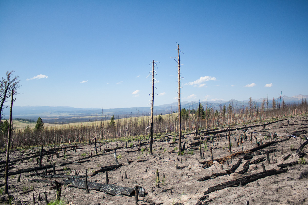
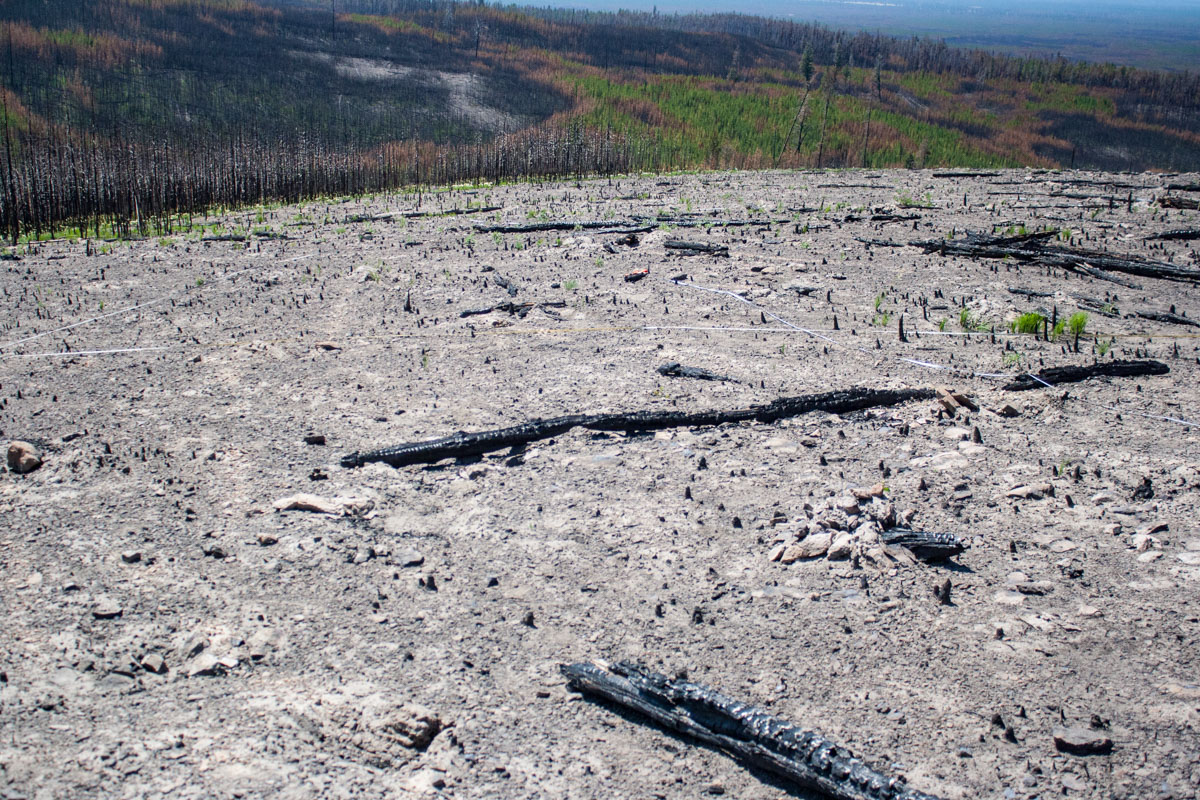
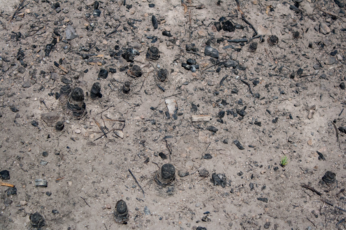
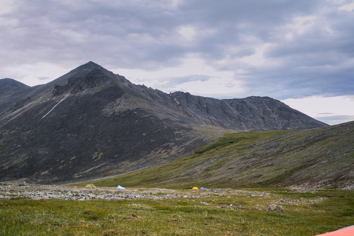
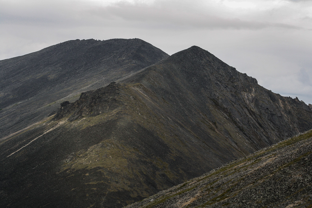
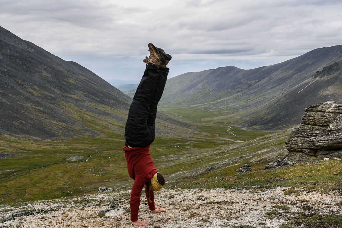
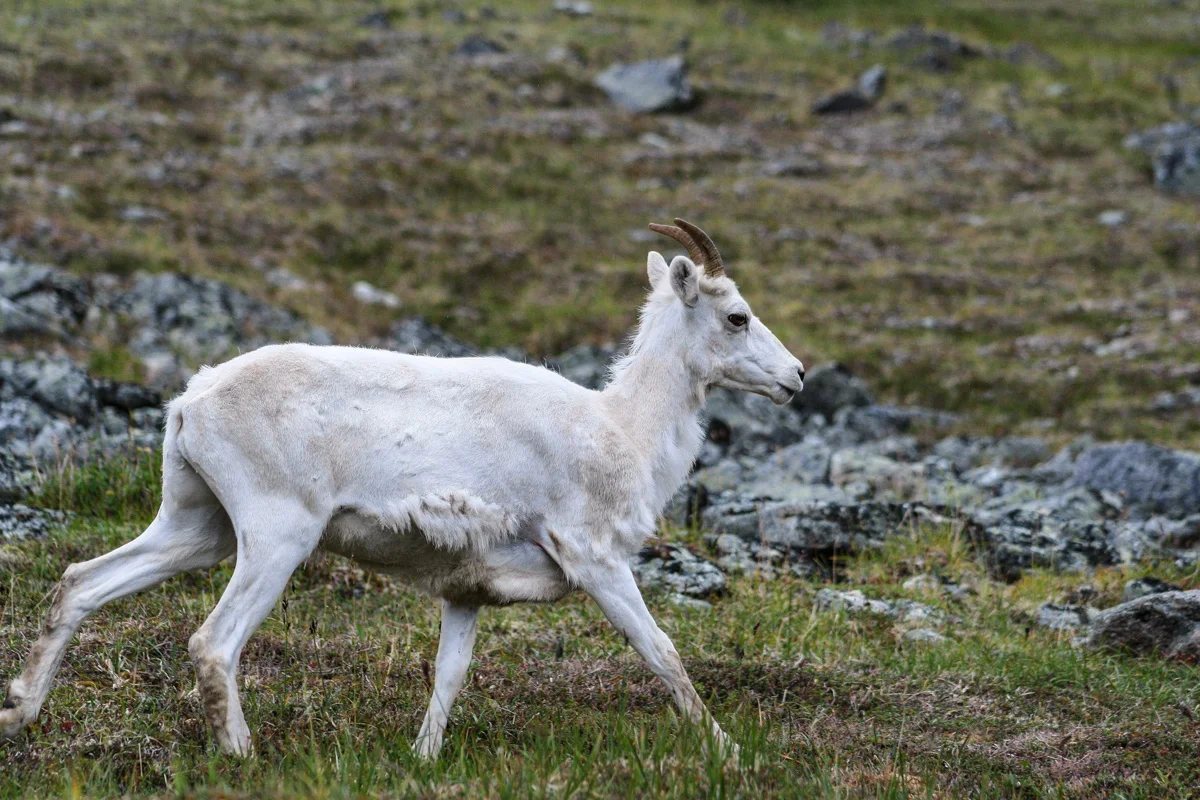
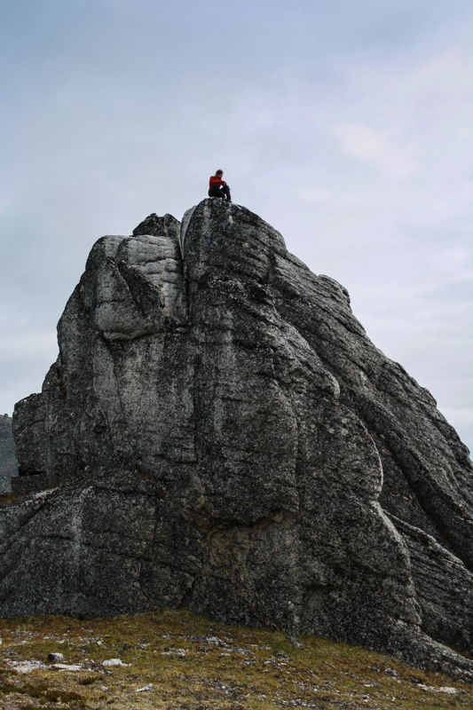
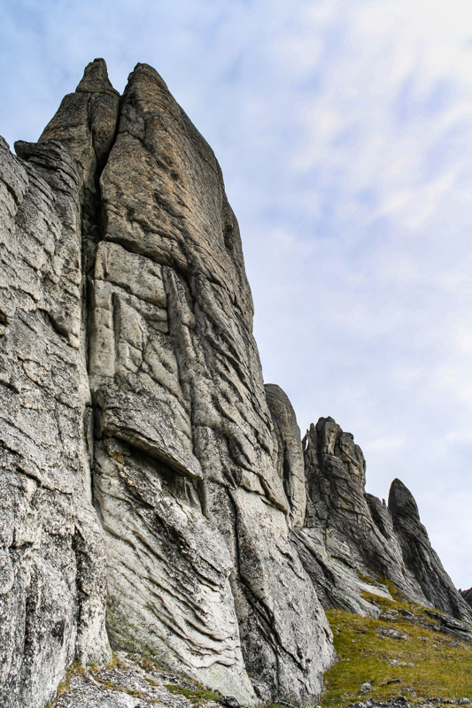
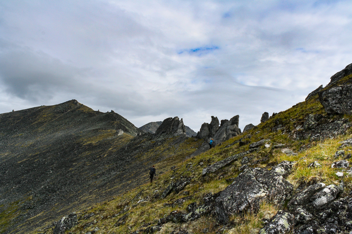
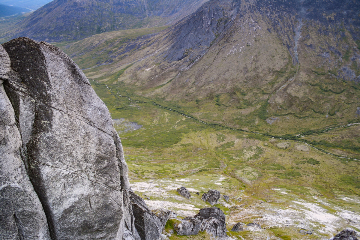
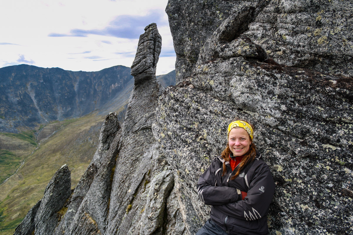
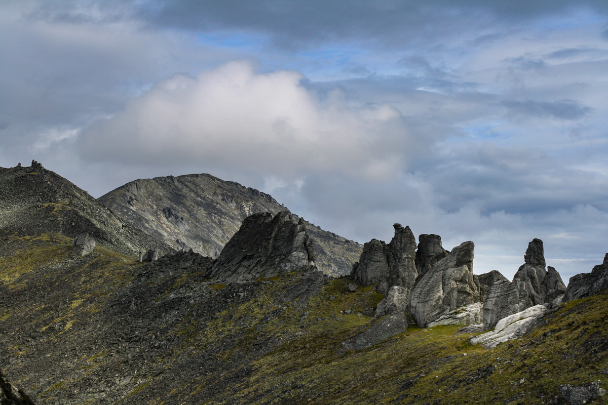
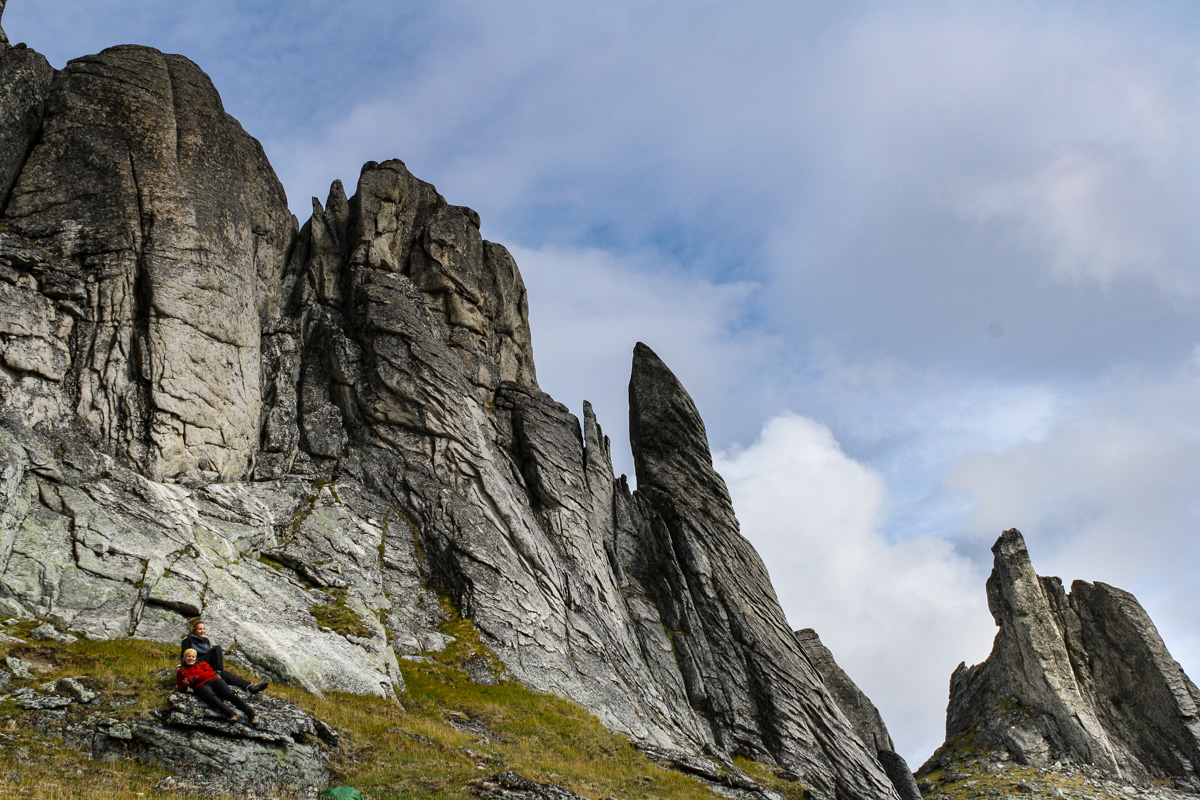
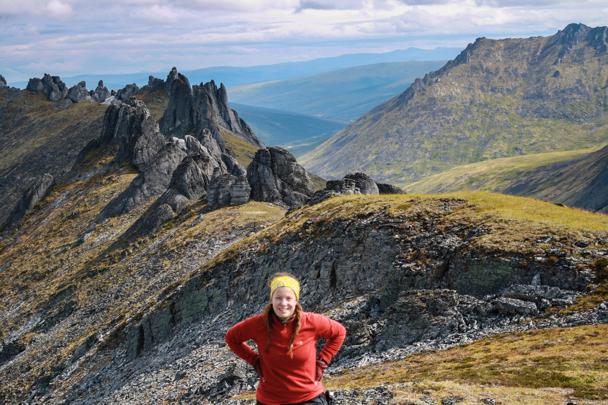
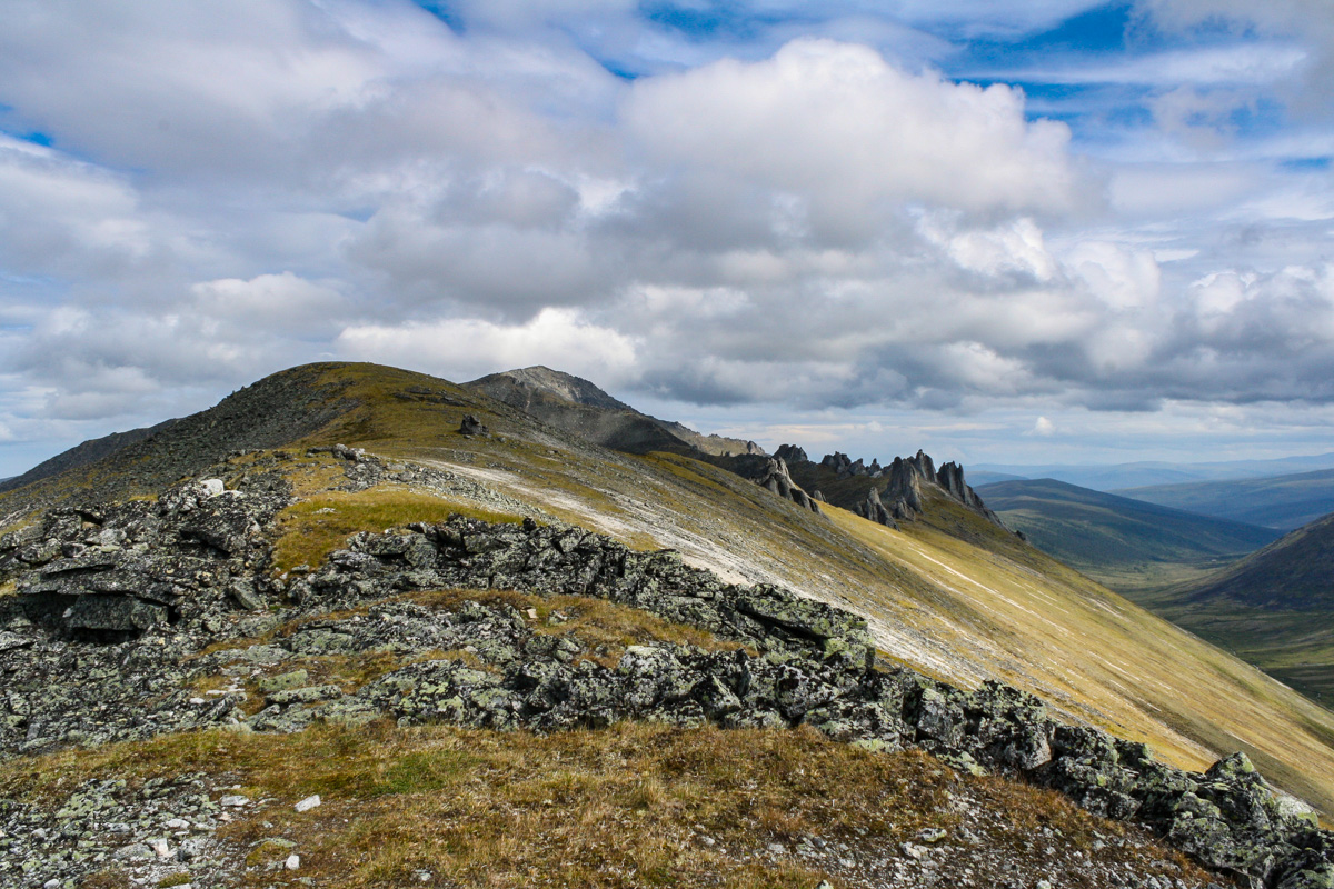
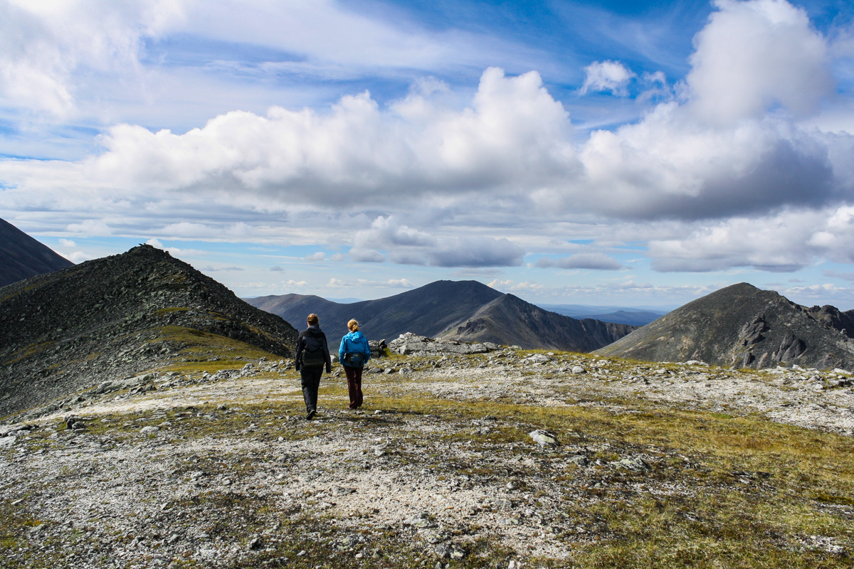
Summers in Alaska are almost like a fairytale. The endless nights will keep you up longer than you should, but come morning you still have enough energy to last through the day, and night again, and again and again. We spent an hour or so in the truck every morning to get out to the field site. Away from the ocean and the small town, towards the mountains and the wilderness, and the end of the road. The only way to get to Nome in the summertime is by plane, or boat I suppose. In the wintertime you can mush, snow mobile, ski, walk or bike as well. It’s strange to think about, a place in the wilderness isolated from the rest of the world. And out there in the mountains you are really isolated from the world. It makes it even more important to think about safety. If you hurt yourself out here, breaking a leg or god forbid cut yourself in the thigh you are in trouble. Almost everyone I know cary a pocket knife, or knife of some sort when they are out in the field. You need to to cut zip ties, or anything else you probably would never have thought of before. But it is important to know where and on what surface you are cutting something. It almost comes natural to place things in your lap and fix them, but if you slip with your knife on your thigh you’ll bleed to death before you could ever get back to cell service and the hospital out here. There is a reason why it’s a really good idea to have the wilderness first responder class in your backpack. I do not have that, but I have taken a couple of short classes about general safety in the field. Those are far from the deep knowledge you will get from the NOLS class though. Have you taken any safety classes focused on adventures in the wilderness? I am going to try to take one of those classes next time the opportunity comes up.

A Tale of Fires and Ghost Logs - Fieldwork in Yellowstone Pt. 3

Of all the paths you take in life, make sure a few of them are dirt
— John Muir

Adventure Tuesday

That summer of Dreams

A lot of different things happened during the summer of 2017. I went to Montana and Yellowstone not only once, but twice. I got to go to Puerto Rico for fieldwork and spent almost two weeks in the rain forest. I went on a roadtrip with dad through Badlands National Park, Beartooth Highway and then eventually through Yellowstone. We got married, well technically we were already, outside Butte on a fiery afternoon. After that we went camping with friends before we headed back towards Wisconsin. Once there we packed for yet another wedding and headed out to a summer camp. But what do we really do when I say fieldwork? If you have been reading my blog since it started way back when, you know I used to roam around in the interior of Alaska, studying fires, stream water chemistry, climate change and the list goes on. W also studies fires and we have helped each other doing field work through the years. So 2017 I spent part of my vacation by flying to Jackson, Wyoming to spend a couple of weeks with W and his advisors field crew.

The Start of the Large Fire Era

1988 one of the largest forest fires raged through Yellowstone National Park, and many people probably wondered if anything would be left after that large fire. 35% of Yellowstone National Park burned that summer, and that fire marked the beginning of a new era, the large fire era in the west. One of the many questions that fire overall poses in the north west, not only in the Rocky Mountains and Yellowstone, but also in Alaska is: What will happen if and when fires become so frequent that there is not enough time for trees to regenerate. The normal fire return interval is every 100-300 years, and the area we worked at in 2017 was burned in the 1988 fire and then again in 2016.

IMG_9810-May 30, 2016.jpg

I have seen burned areas in Alaska before, but nothing quite like the the area I saw that summer. Everything was basically gone. Everything was black. Even though we still could see vegetation already growing in the black soil. We counted tree seedlings (Douglas fir and Lodge pole pine) , downed wood, logs and ghost logs. Ghost logs are basically a line in the ground that indicates that a log once laid there, but has completely been burned up. Those logs were most likely leftover from the 1988 fires.

The ghost logs can be seen as the light lines in the black soil above

The ghost logs can be seen as the light lines in the black soil above

Fires in the Rocky Mountains and Alaska are very different. The fires we see in Yellowstone are mostly crown fires, while the fires in Alaska are mostly surface fires. In Alaska the thick organic layer, which also serves as an insulator to permafrost, is a good indicator for how intense the fire has been. Often there is still a large portion of the organic layer left after a fire has gone through, and you will also see this patchiness of the thick moss on the ground. One thing the fires in Alaska and the Rockies have in common though is that when it burns it burns, and it can spread extremely fast if the conditions are perfect.

Smoke in the field and the after math of fires in Alaska:

The ground was completely bare when we arrived at the Maple Fire in Yellowstone National Park. The temperature was in the 90’s and the black soil didn’t make it cooler. We used measuring tape and compass directions to set up sampling plots. Large portions of this fieldwork was to count how many tree seedling we could see growing in the bare soil, and we did see quite a few. We also recorded signs of ghost logs, tree stumps and dead standing trees within all the plots. This work is sometimes hard on you, it’s hot, you’re on your knees and you are also high up in elevation. On top of that you have to hike, sometimes also carrying heavy equipment. You’ll get sunburned real easy and have to make sure you carry and drink enough water.

The Maple Fire in the Cougar Meadow:

Many tree species are evolutionary adapted to regenerate after fire, they produce cones that are serotinous, because the cones need heat to open up and release its seeds. But to regenerate the tree needs energy, and time to develop enough seeds, and on top of that they need to be lucky. Anyone who has planted a seed probably know that sometimes the seed germinate, and sometimes it doesn’t. This is the reason why this questions is so relevant, how successful are coniferous trees to regenerate throughout the Rockies and Alaska if the fire return interval gets shorter? The other problem is the local climate. Will it become drier or wetter, how warm will it get? These are factors that also play a role in the tree regeneration.

Forgotten Memories

Flashback Friday

Mount Prindle - July 2010

The Analogy Between Hotel Ratings and Hiking Ratings

It takes almost two hours to get to Mt. Prindle parking lot from Fairbanks. Most of the hikes you do around Fairbanks sets you on a journey of at least 1 hour in any direction. This summer I went with a couple of friends from the university. We all wanted to explore and see everything Alaska had to offer. We started early in the morning from Fairbanks, and got to the parking lot with plenty of time before lunch. The parking lot is also a campground, but this is not where we camped. Doing Mount Prindle takes at least two days, well depending on how fast you want to hike I guess. We just wanted to get out there. There is a stream crossing right off the bat, and most of the trail overall is kind of soggy, so we decided to go with the Tevas for the trek in. If there has been a lot of rain leading up to the hike, people sometimes can’t even start the hike because the stream crossing is just too dangerous.

IMG_2664-July 24, 2010.jpg

It’s a 19 mile return trip, and about 8400 feet in total elevation change, and the hike is marked as difficult. I once had a climber friend who said that climbing routes and their grades are almost like hotel reviews, I wonder if hiking routes could be consider that as well. Not to say that this hike was anything easy. I think that these ratings are rightful, it also makes you think an extra time before taking on the hike. Mostly I think these ratings are because of the possibility of weather changes, lack of water to drink and in this case also some stream crossings that can be very hard to do if there has been a lot of rain the past few days. Also you are in bear country too so another thing to remember. It’s about 6 miles if I remember correctly to the place where we ended up camping. There is a creek flowing fairly nearby and you have a panorama view of the tors.

IMG_2834-July 24, 2010.jpg

Camping and Moments of Joy

You are not allowed to camp in certain areas around here, so always good to check online, at BLM, exactly where you are and where you are not allowed to camp. We had arrived so early, it was only lunch time, so we set up our tents, had some food and then we went on a short hike to get a first taste of the tors. We goofed around on the tors and enjoyed the view. Later in the evening we had good food and s’mores and other candy for desert. Hot chocolate was also consumed after dinner.

I don’t remember there being a spectacular sunset, or sunrise either for that matter. But also, back then I wasn’t so used to taking photos, and also was better at soaking up the moment itself, instead of being busy taking an awesome photo. It’s a balance, a balance between being too caught up in photography and enjoying the moment. This is your moment, don’t loose it by being too caught up in taking a perfect photo. I often struggle with that balance.

Dall Sheep and the Everlasting Question: to Conquer or not to Conquer?

The next day I woke up by a noise, something was definitely outside the tent. Something was munching on grass right next to my ear. I glanced through the mosquito mesh next to my head and saw a white creature, a Dall sheep. These sheep didn’t seem too scared of us but held themselves to a greater distance after we all got up for breakfast. I think there most have been 20 or so of them in total. Later on we could see plenty of them on the hillside farther away from our campsite.

Today we set our goal to conquer the tors. We were six people, and while three of us hung back at a slower pace, the other three were long gone. It’s not the end destination that is the goal for many hikes, it’s the hike itself. That is another thing that people sometimes have a hard time with, or just have a different opinion about. It’s cool and so on to conquer mountains, but the trip there is what makes it worth it. Aren’t you most interested in the hike to the summit, rather than the summit? Oh well. I guess I am secretly excited about the summit as well. These tors are like something taken out of Mordor, or at least that is what I think the look like.

IMG_2989-July 25, 2010.jpg

Mordors Nest, Periglacial-Glacial Landforms, and Solifluction Lobes

This specific area has such an interesting mix of cold-climate processes, something that is a bit rare in this region. A lot of the interior of Alaska was not glaciated during the most recent glaciation, but the area around Mount Prindle had isolated glaciers. You’ll see leftover moraines as you look around towards the foothills of the mountains, and on the ridge line of Mount Prindle you’ll see the characteristic tors. On the sides of the mountains you can see these half moon shaped (Solifluction Lobes) masses slowly making their way down from the mountains towards the valley. These landforms are the result of thawing permafrost.

We spent several hours up on the ridge line and the tors. We climbed around, took photos and had a good time. All the photos of me are taken by my friend Amy. The hike is not hard if you spend the night in the area, what often makes this hike hard is the constant weather changes. We had rain and a cloudy sky during part of our hike, but we were also lucky enough to have some blue sky peeking out from time to time.

Have you done any hiking that you will always remember?