


The Spell of the Yukon
“There’s a land where the mountains are nameless,
And the rivers all run God knows where;
There are lives that are erring and aimless,
And deaths that just hang by a hair;
There are hardships that nobody reckons;
There are valleys unpeopled and still;
There’s a land — oh, it beckons and beckons,
And I want to go back — and I will. - Robert Service”
DAY 3, 05/23/16: Wolf Creek Campground to Liard River Hot Springs Campground - 408.5 miles
Alaska Highway - The Alcan
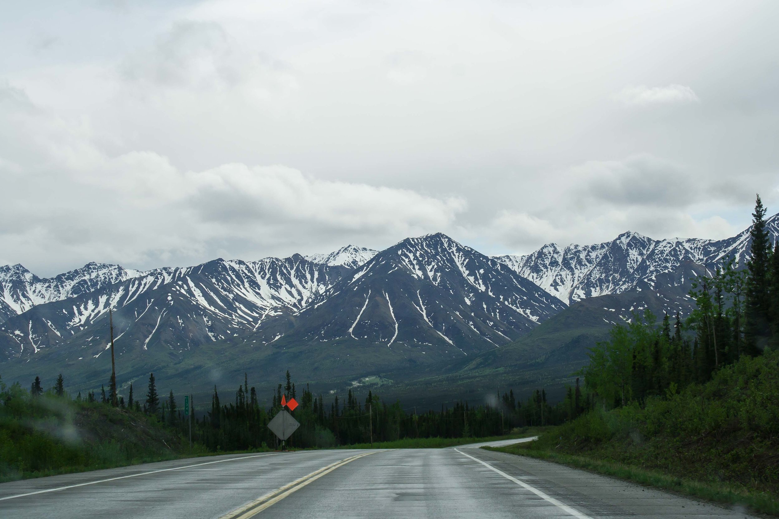
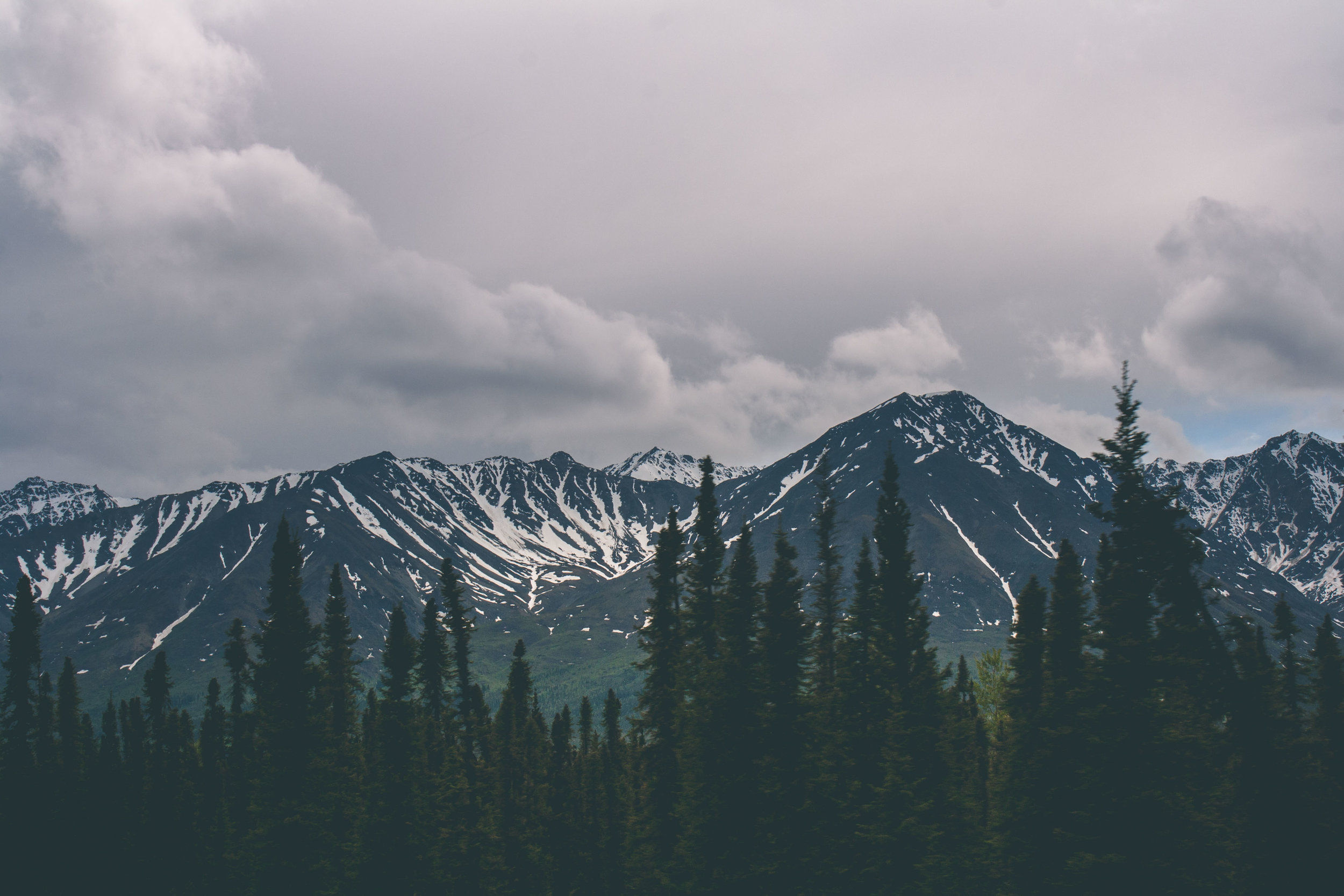
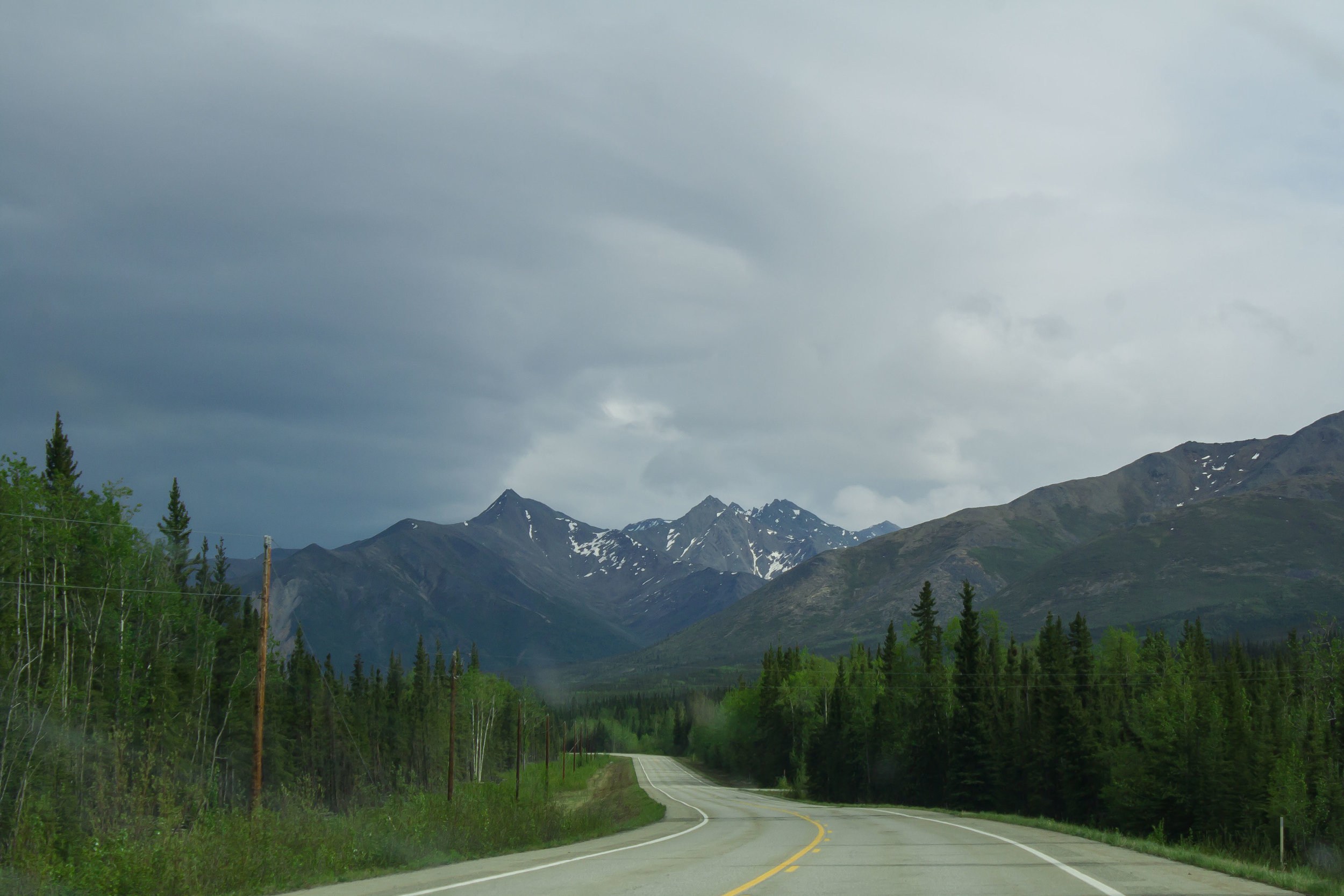
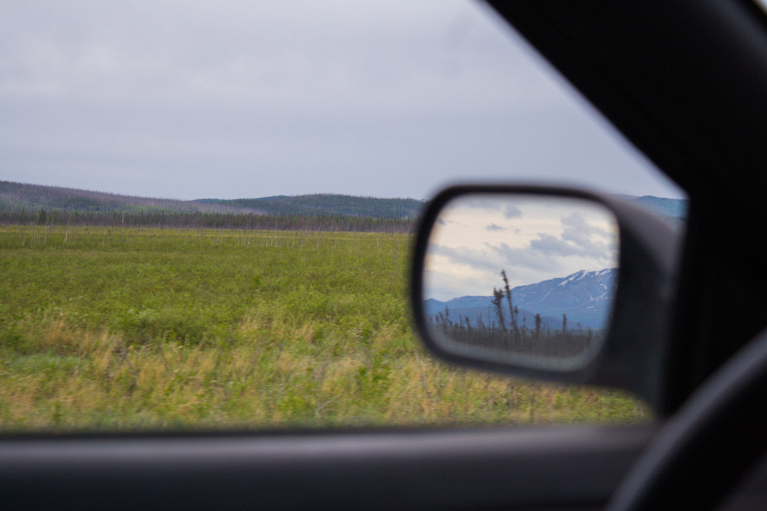
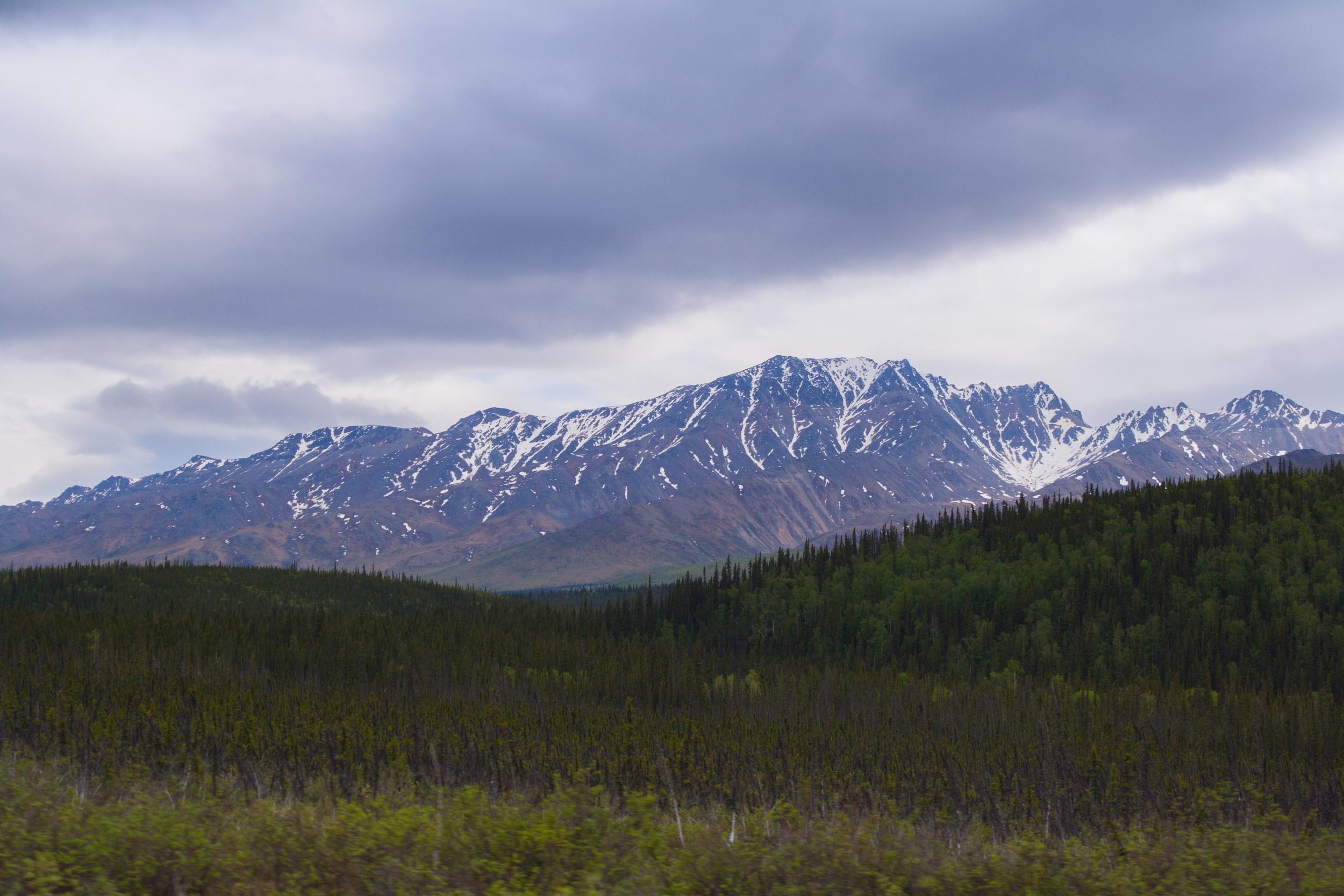
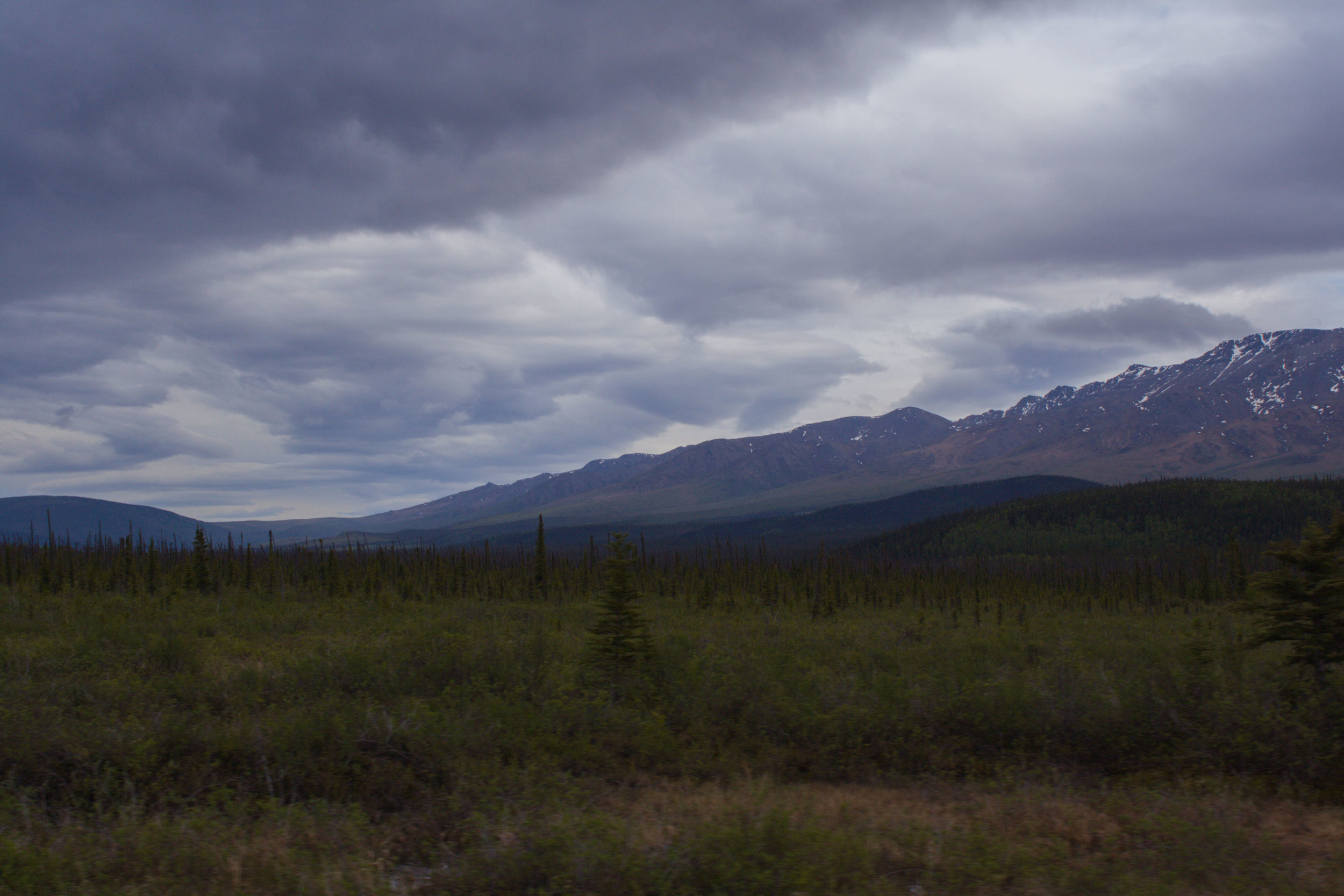
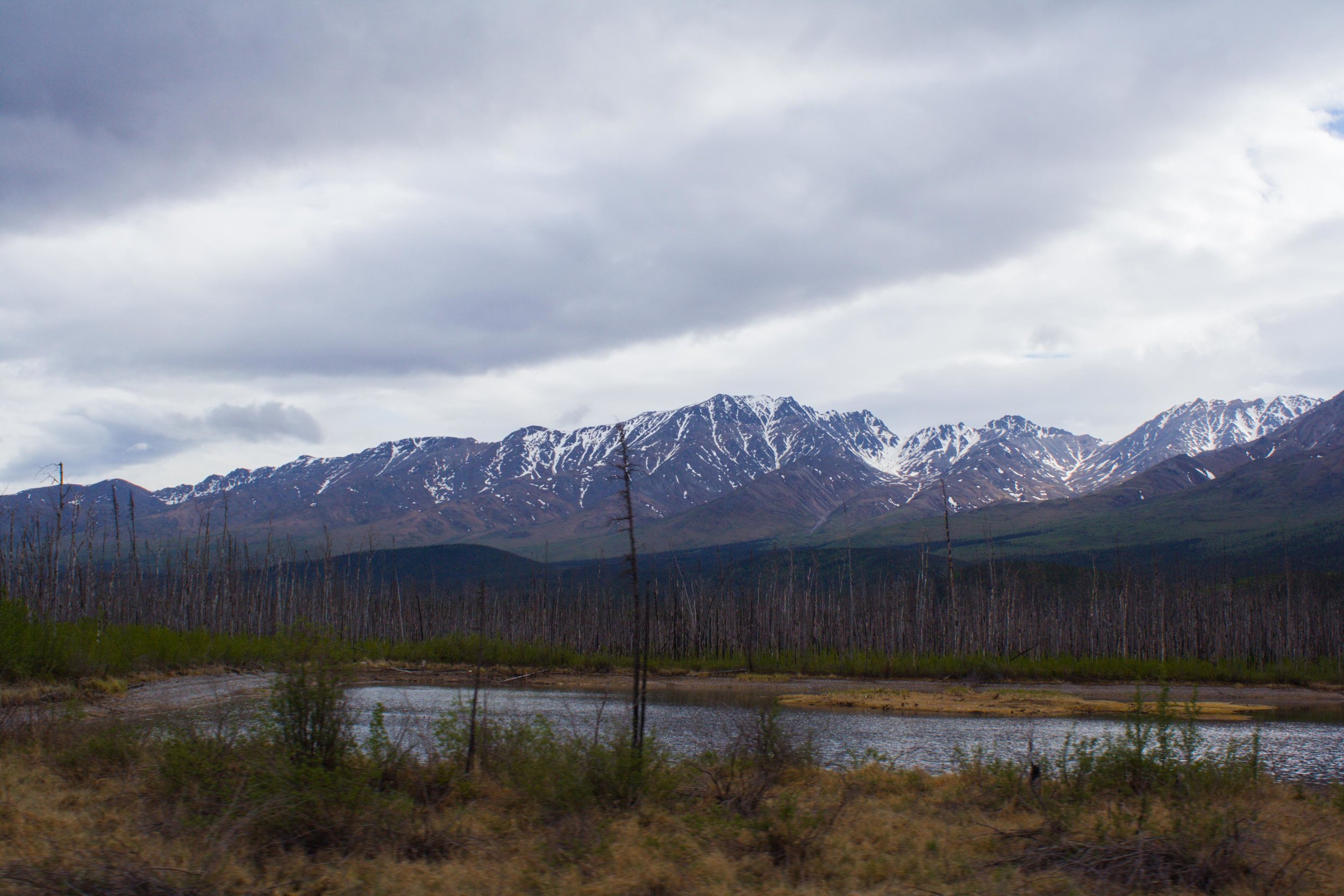
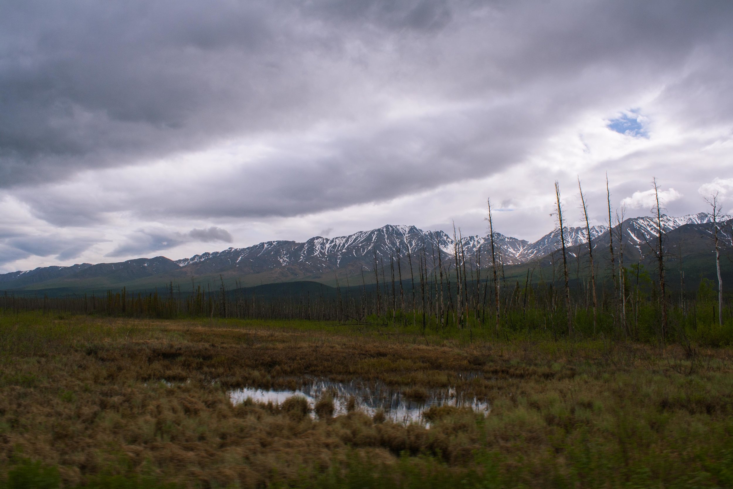
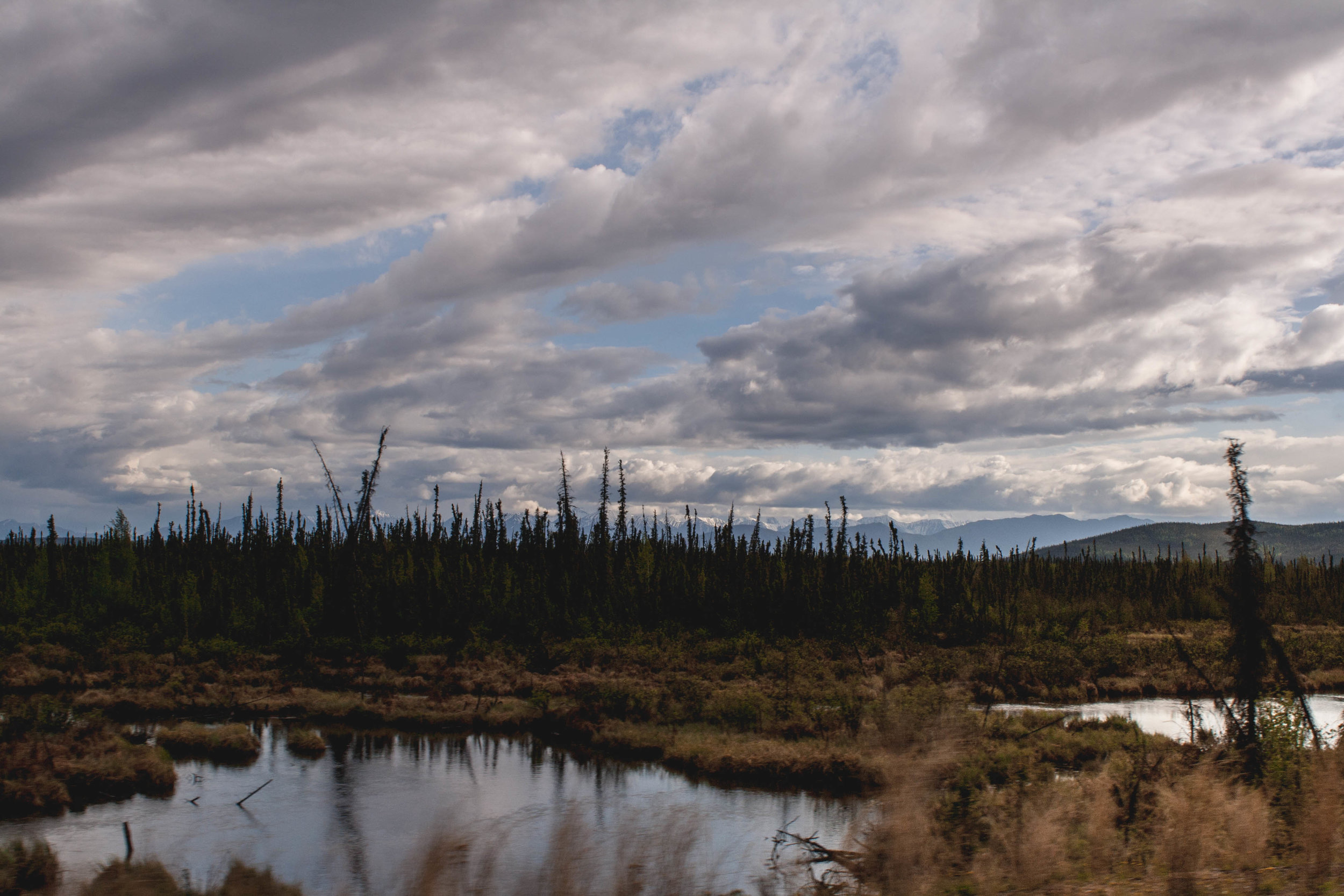
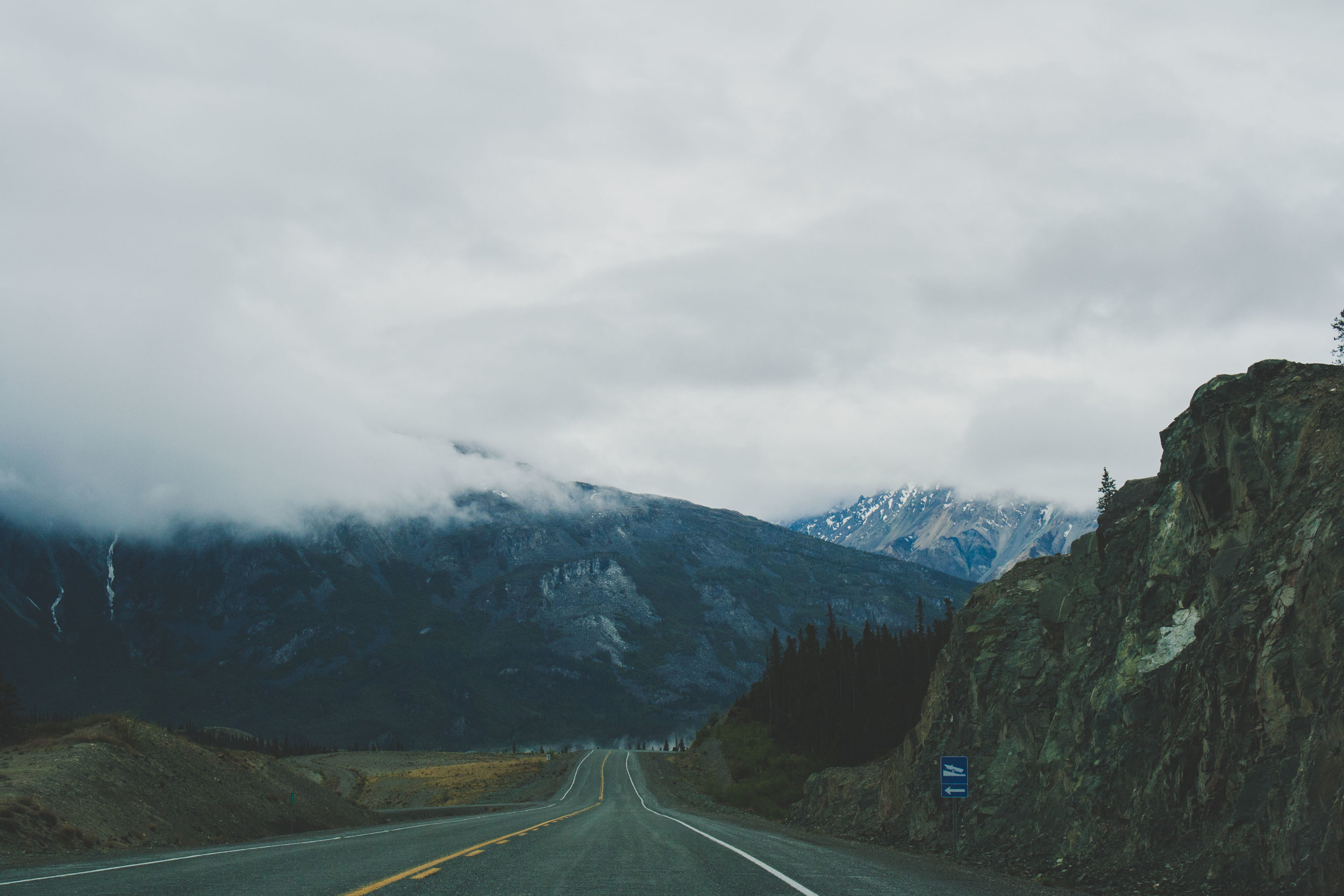
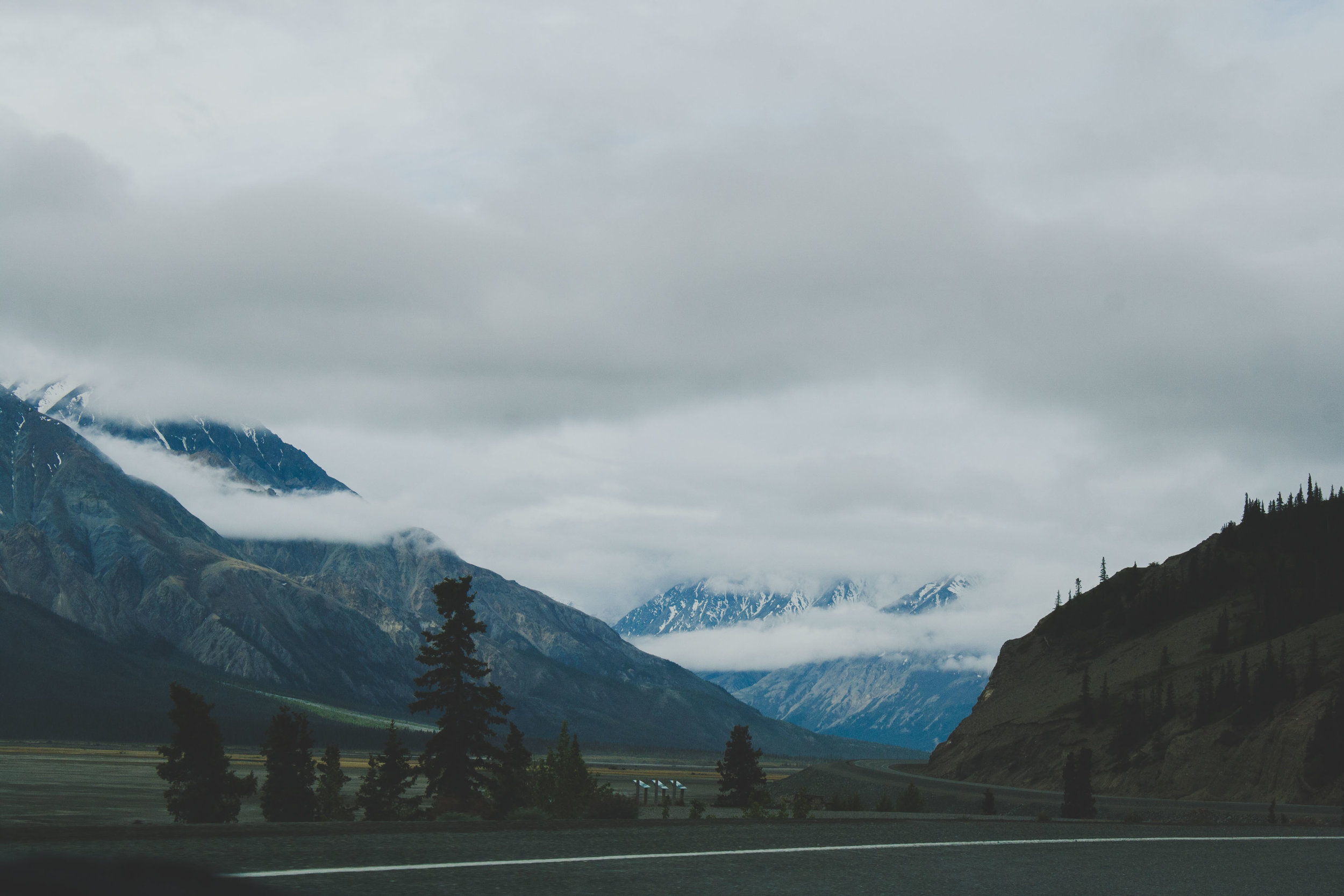
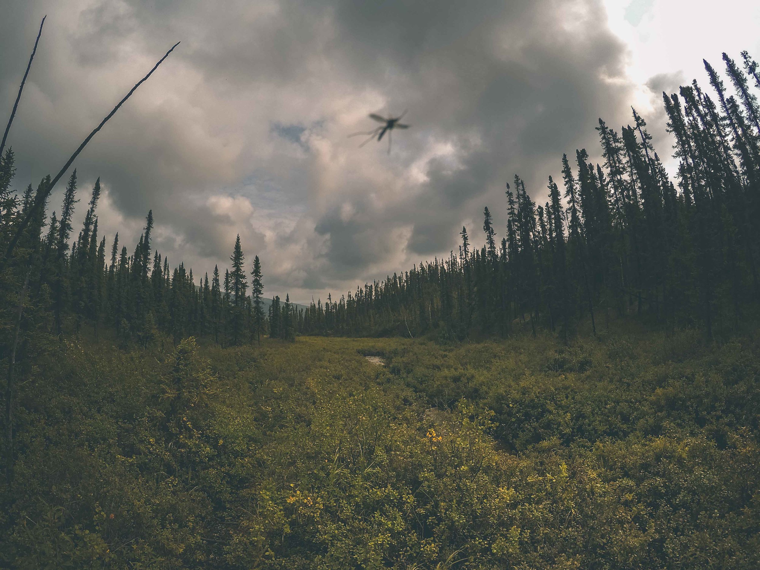
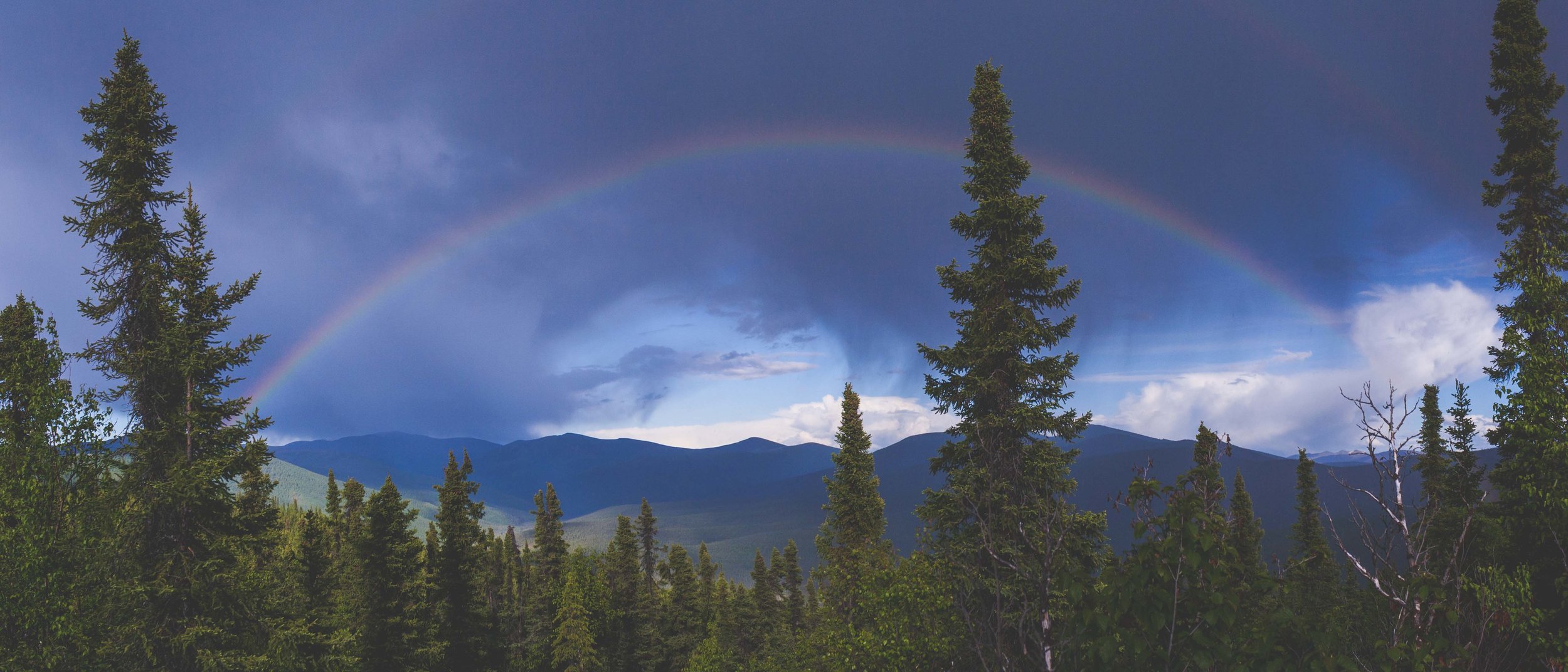
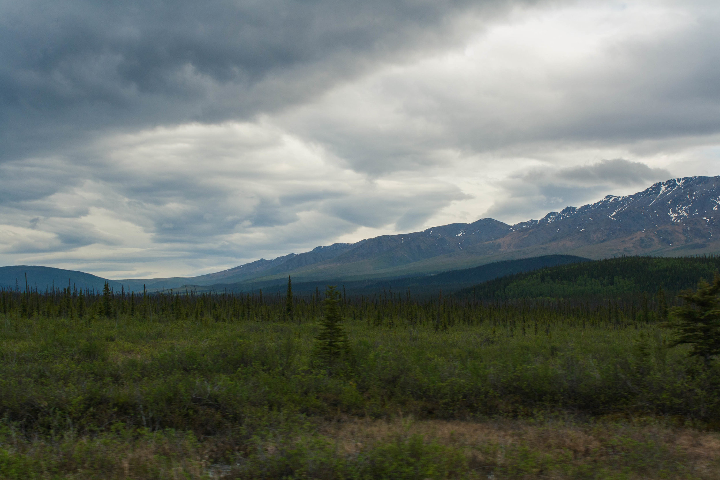
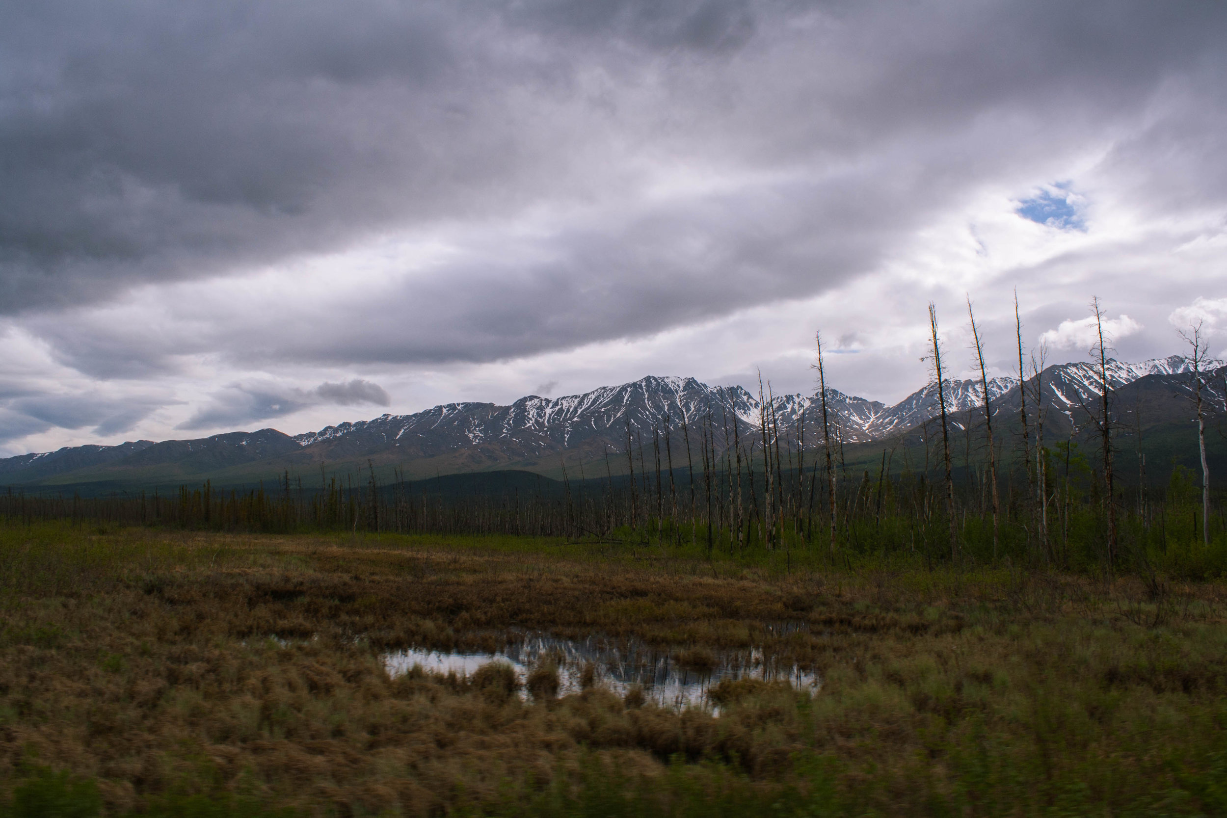
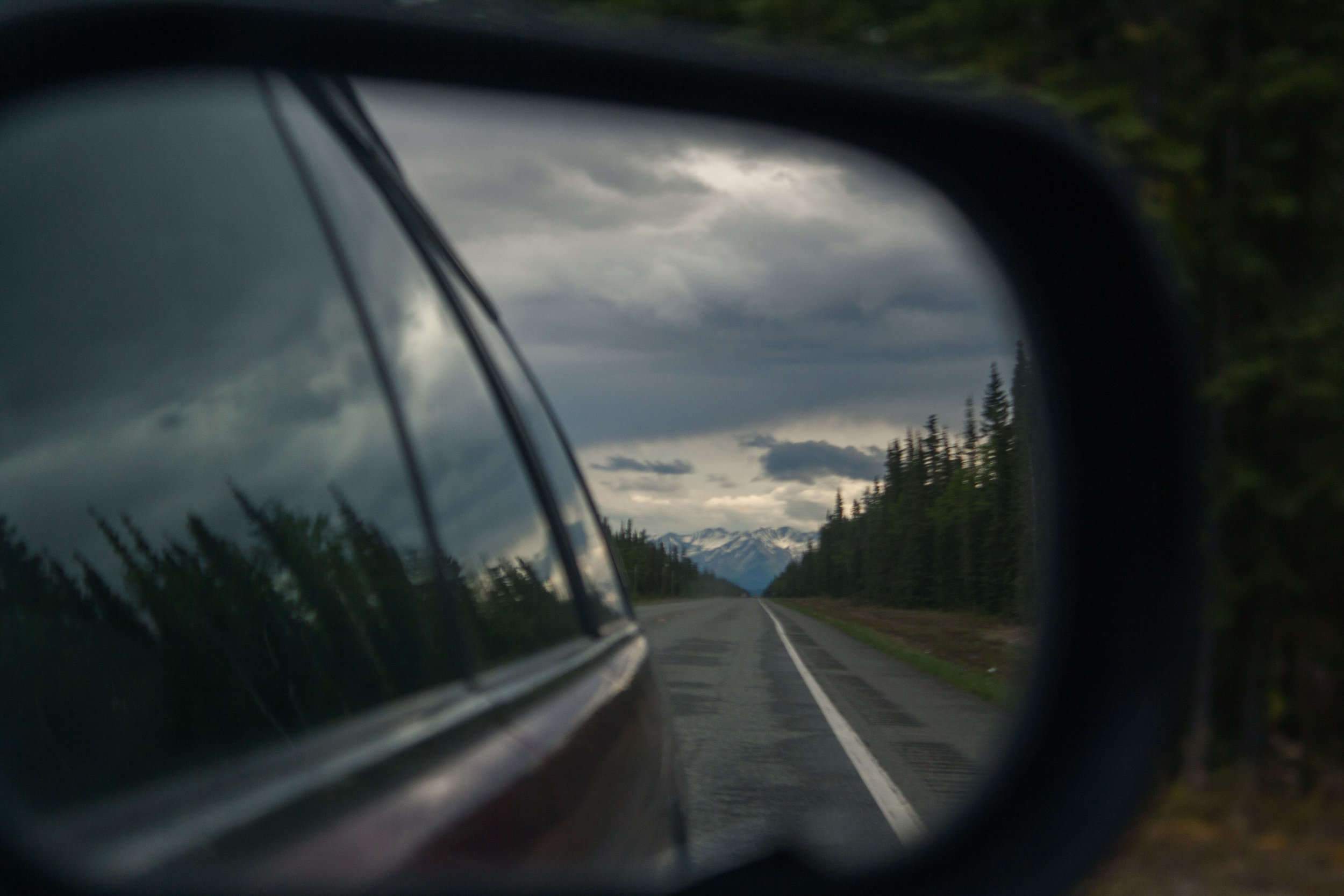
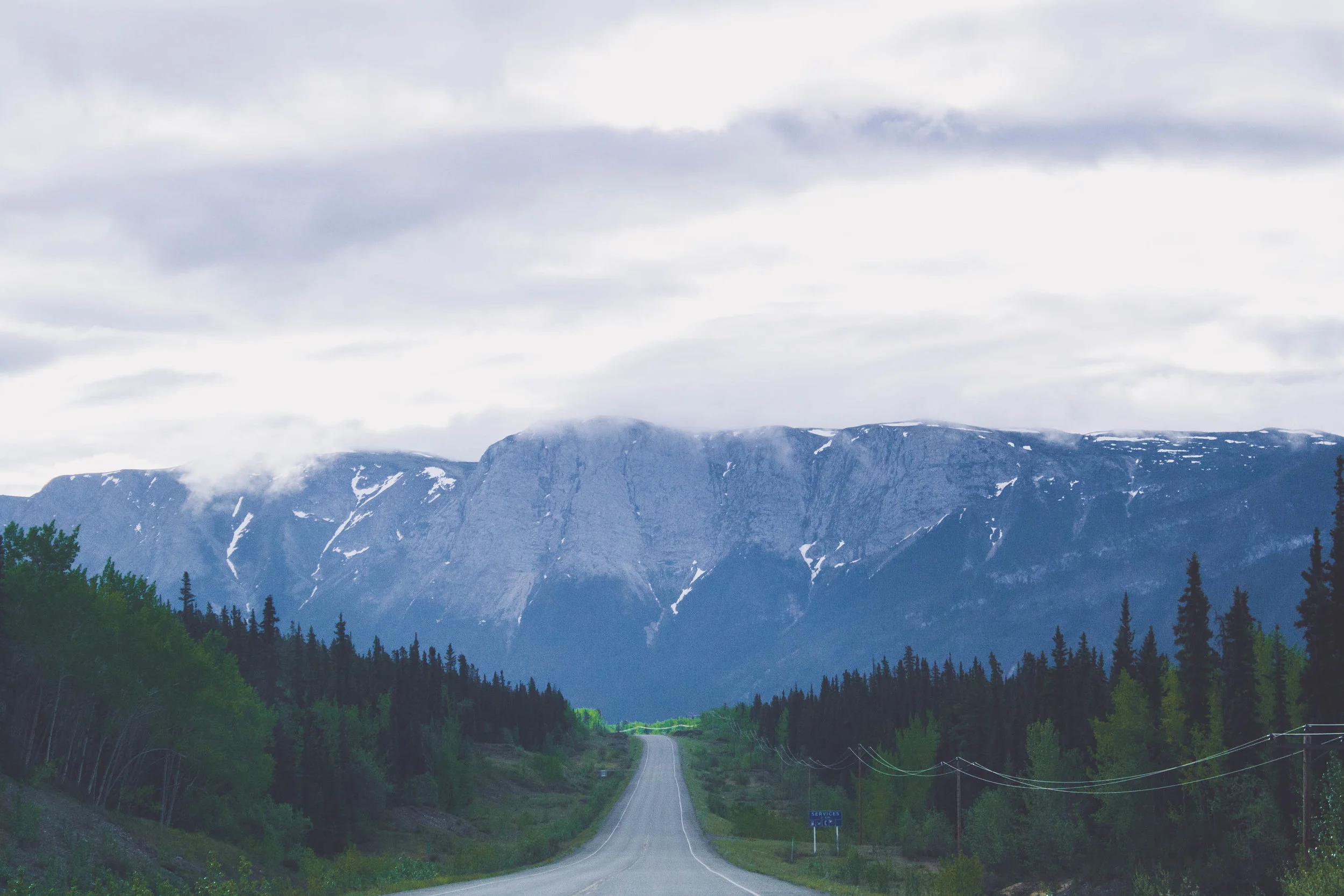
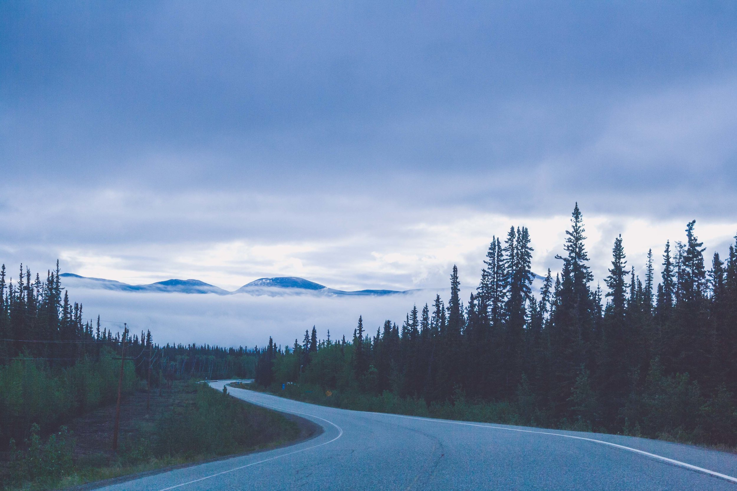
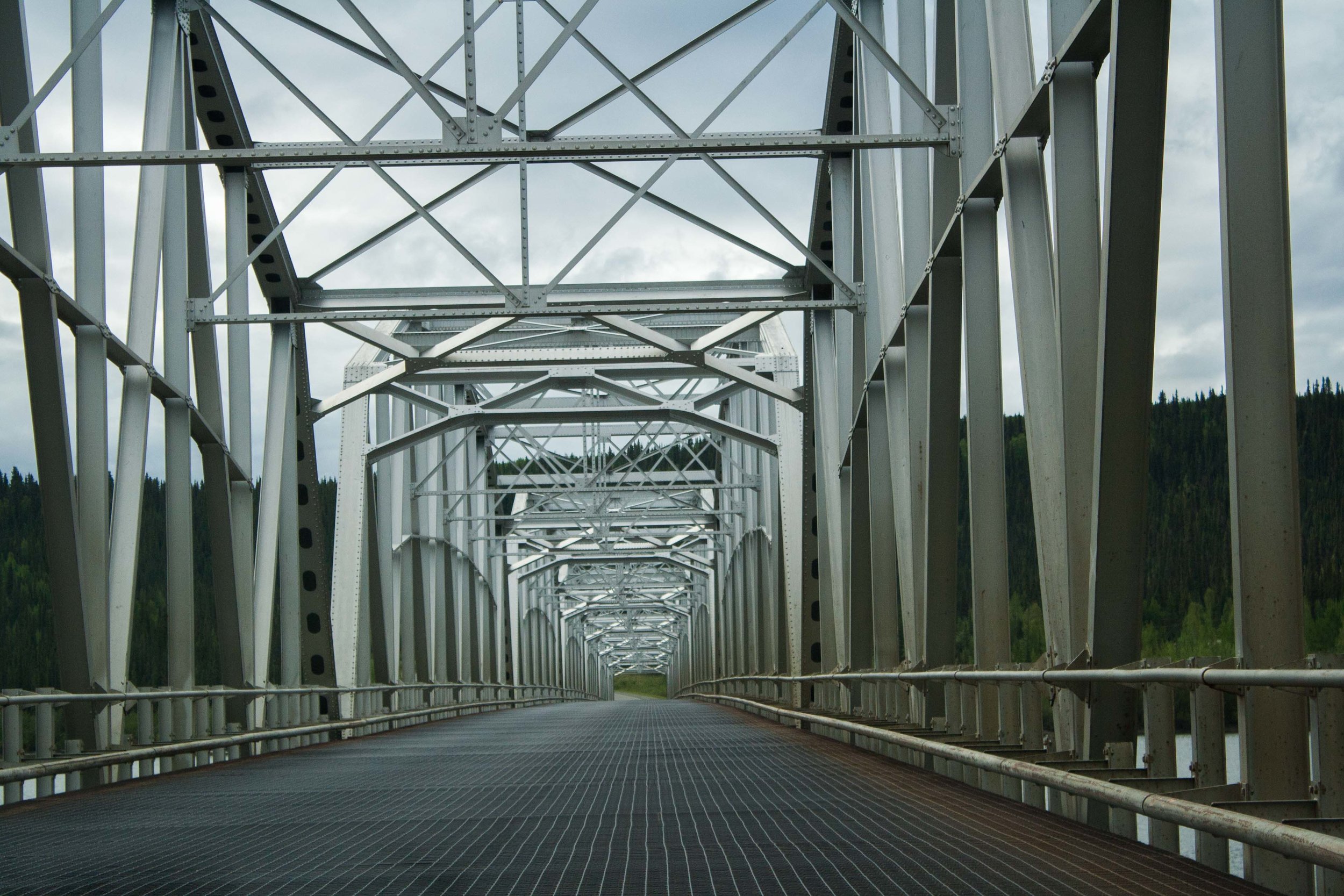
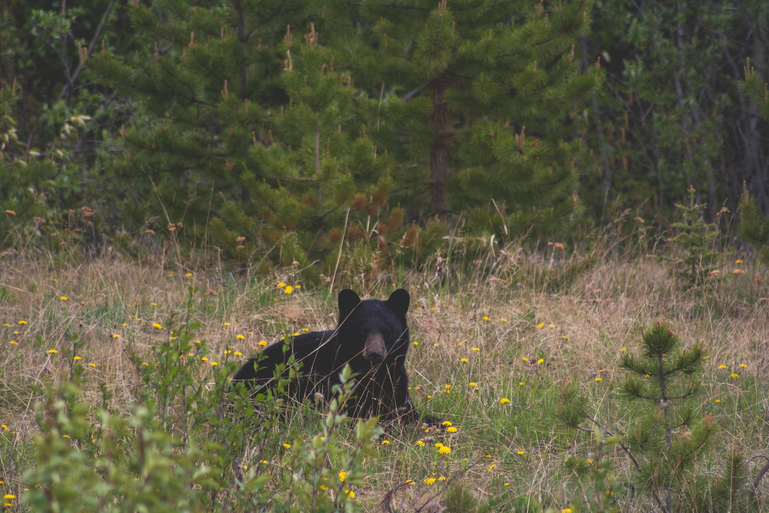
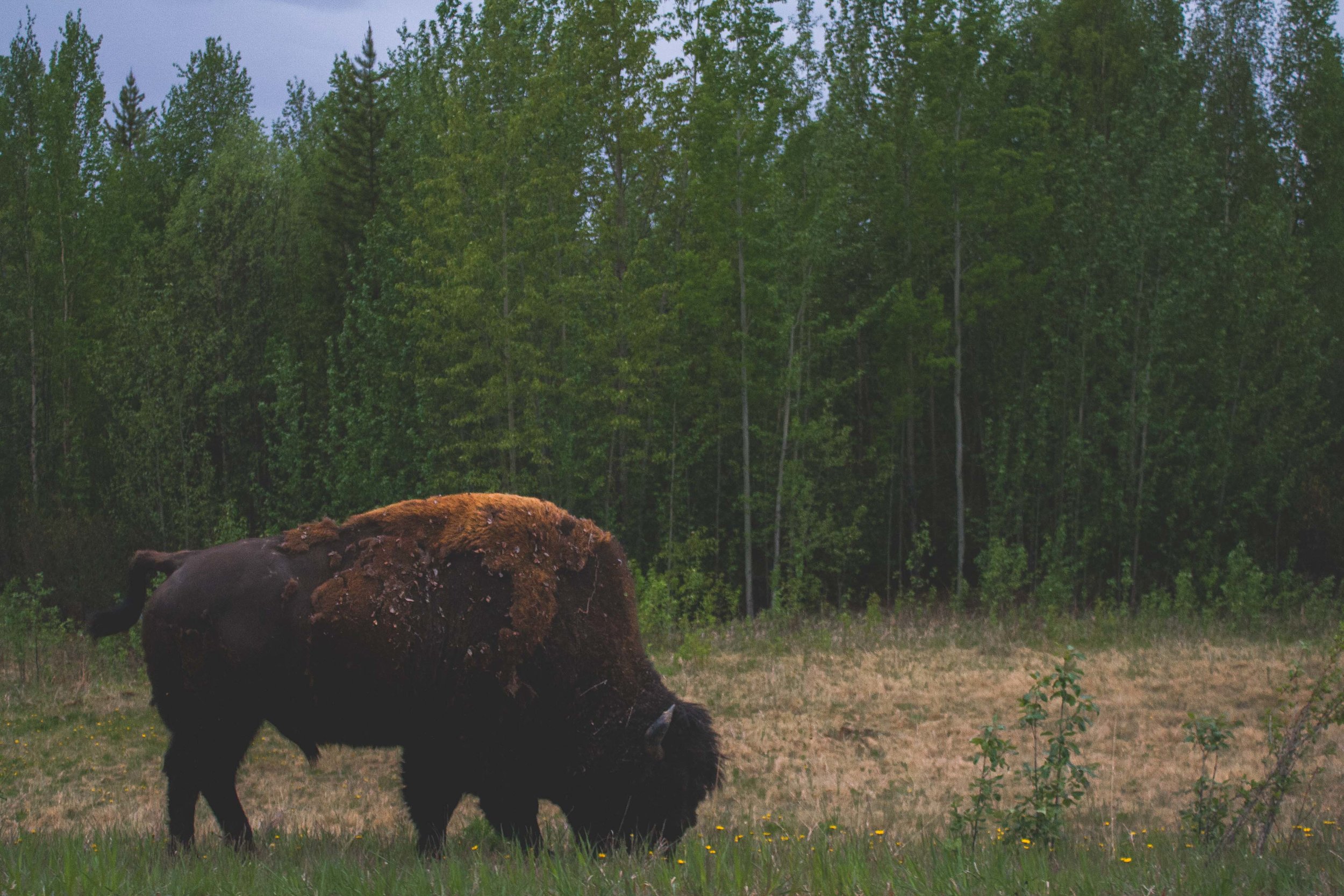
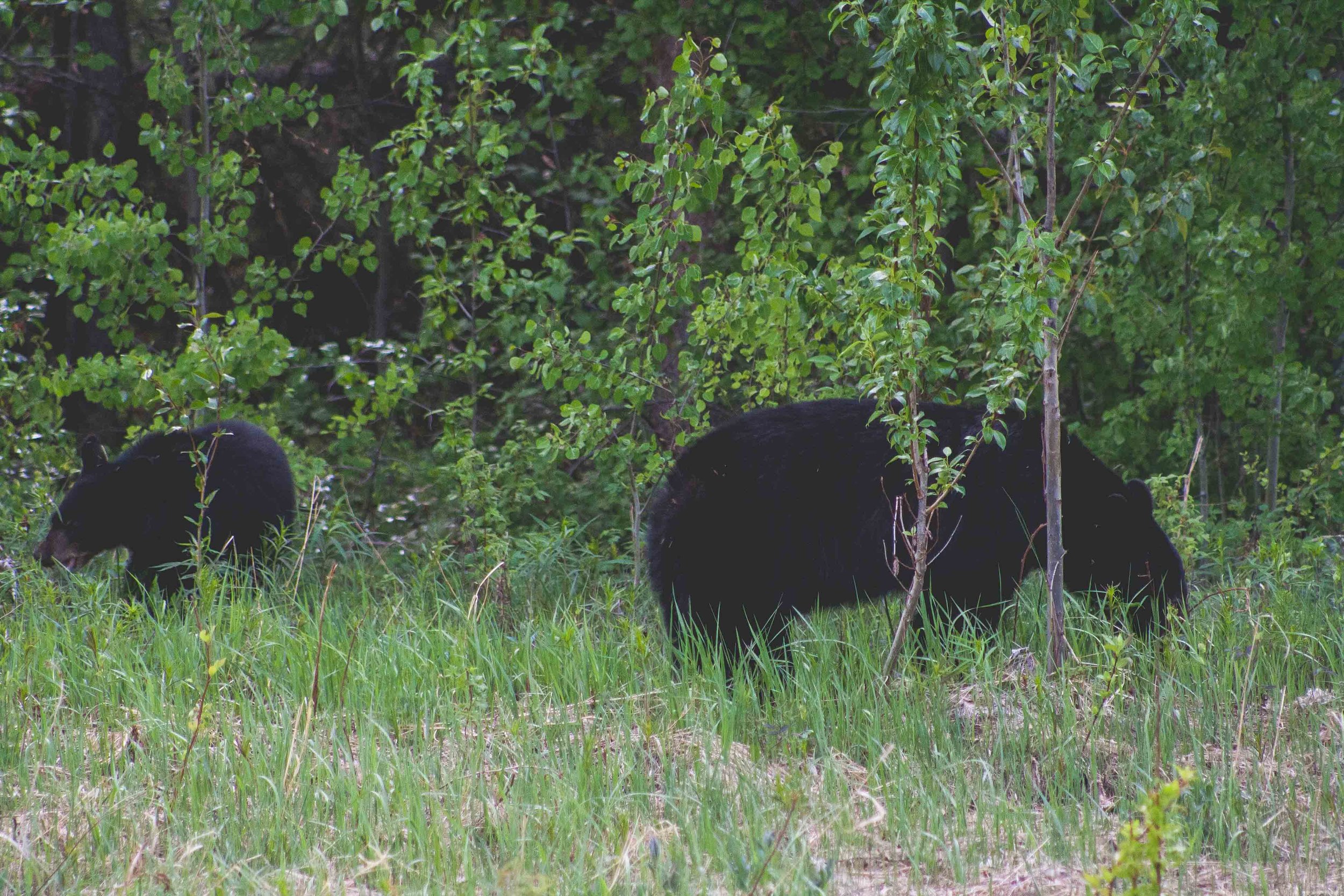
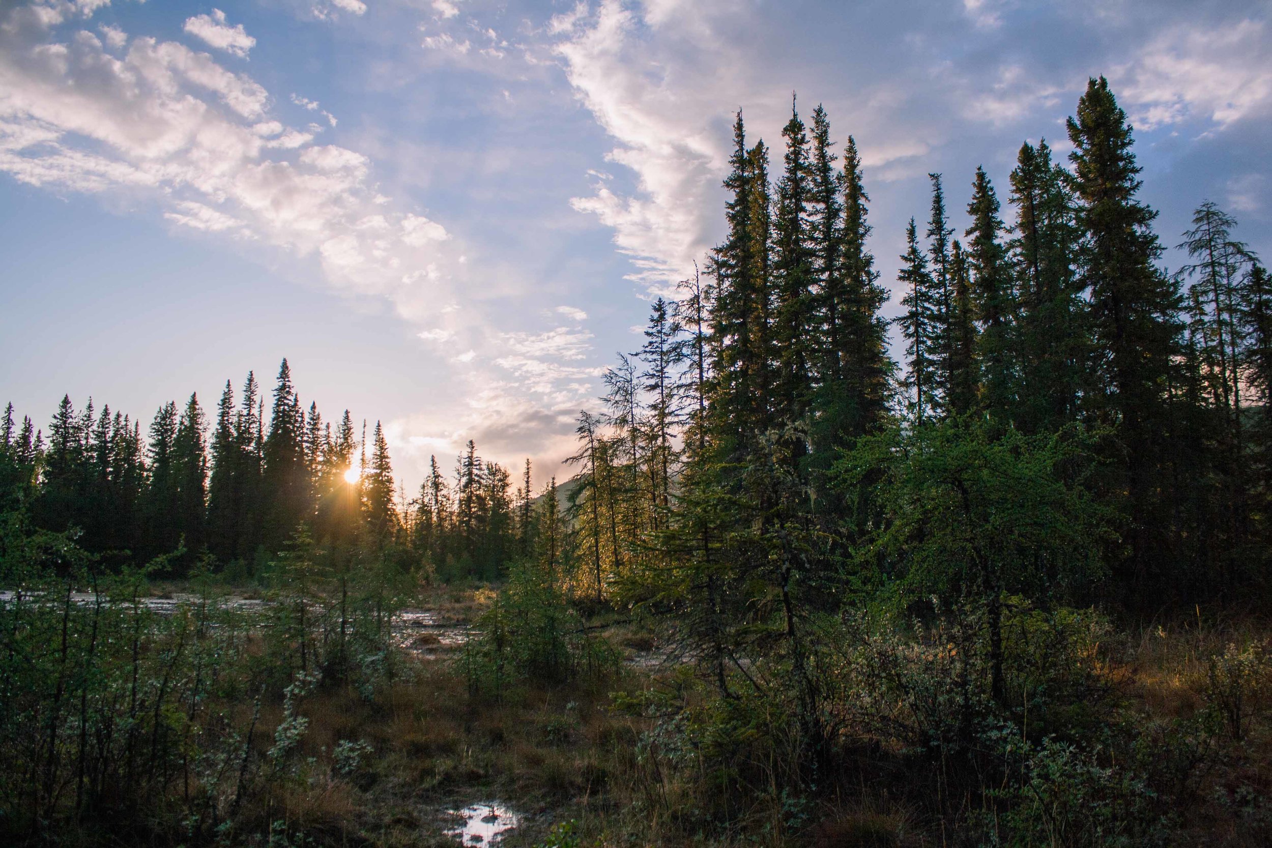
On day 3 we started to see an increase in the number of cars and RVs on the road. This was also apparent in some of the campgrounds the following days. Many people drive the Alaskan highway, aka the Alcan, every year. Dawson Creek in British Columbia is where the highway officially starts, and it ends at mile 1421 in Delta Junction, Alaska. Back in the day the Alcan was mostly gravel, and of course fewer people actually drove it. W's mom and dad drove part of the Alcan back in the day. They got a flat tire and I think they had to wait almost a full day before someone drove by and could help them. Today the whole road is asphalt, with the exception for all the road construction areas, which as always seem to multiply in the summer time, everywhere. To guide you through the 1421 mile long roadtrip you should use the Milepost aka the road bible as I like to call it. It has every single small town and attraction listed in it, even specifics about anything you could possibly want to know. Information about how long time it takes to go from point A to point B, where the gas stations are or for that matter aren't, the towns you pass through, tourist attractions and information about other highways, ferries and such. Every year the Milepost is published, with updated information. As with any other road in the less developed areas of North America, the cellservice is mostly non existent. If you drive this road you are bound to run into wild animals, grizzlies, blackies, bison, caribou and moose are some of the more frequent ones you can see. We had been driving through amazing parts of Alaska and Canada, and Canada just kept on giving and giving. You drive on Empty roads, with more black bears than what I had ever seen, all along the road. You pass large rivers and small creeks, cross bridges, and you just keep seeing more mountains and deep forests around every corner you turn.
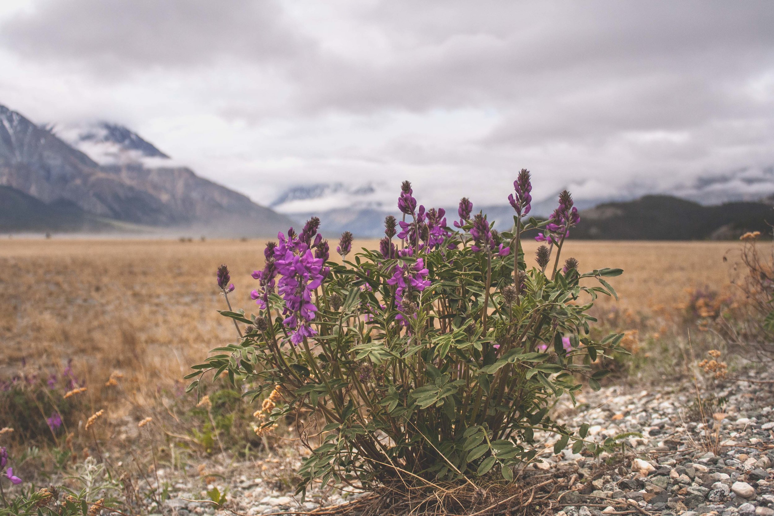
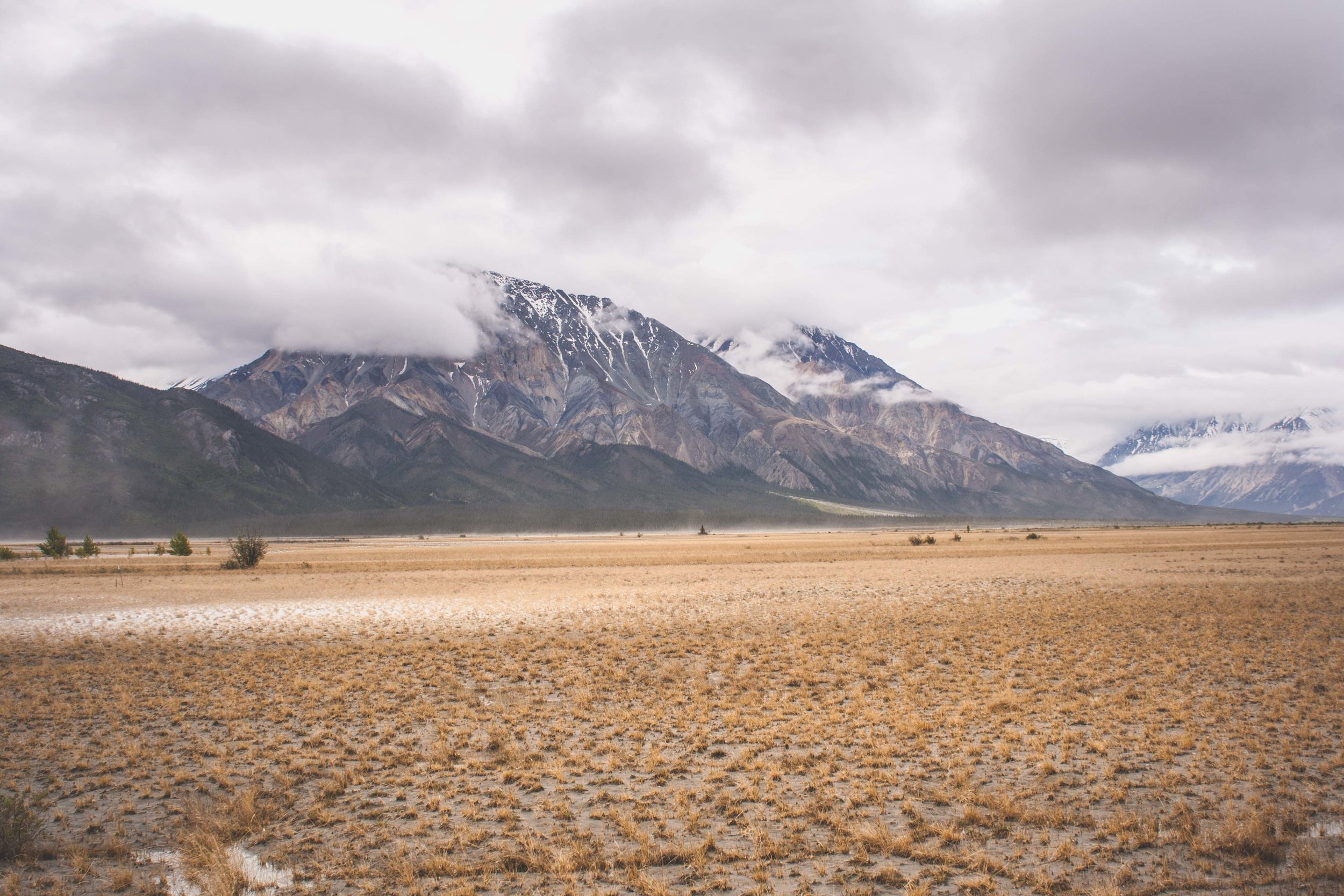
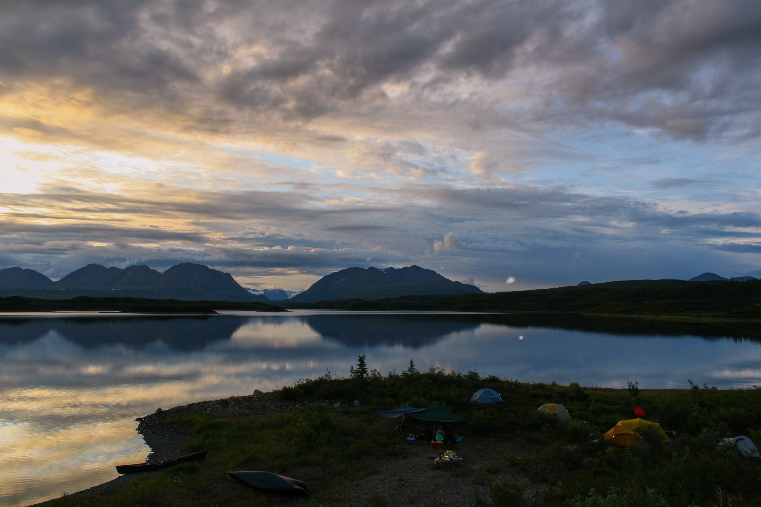
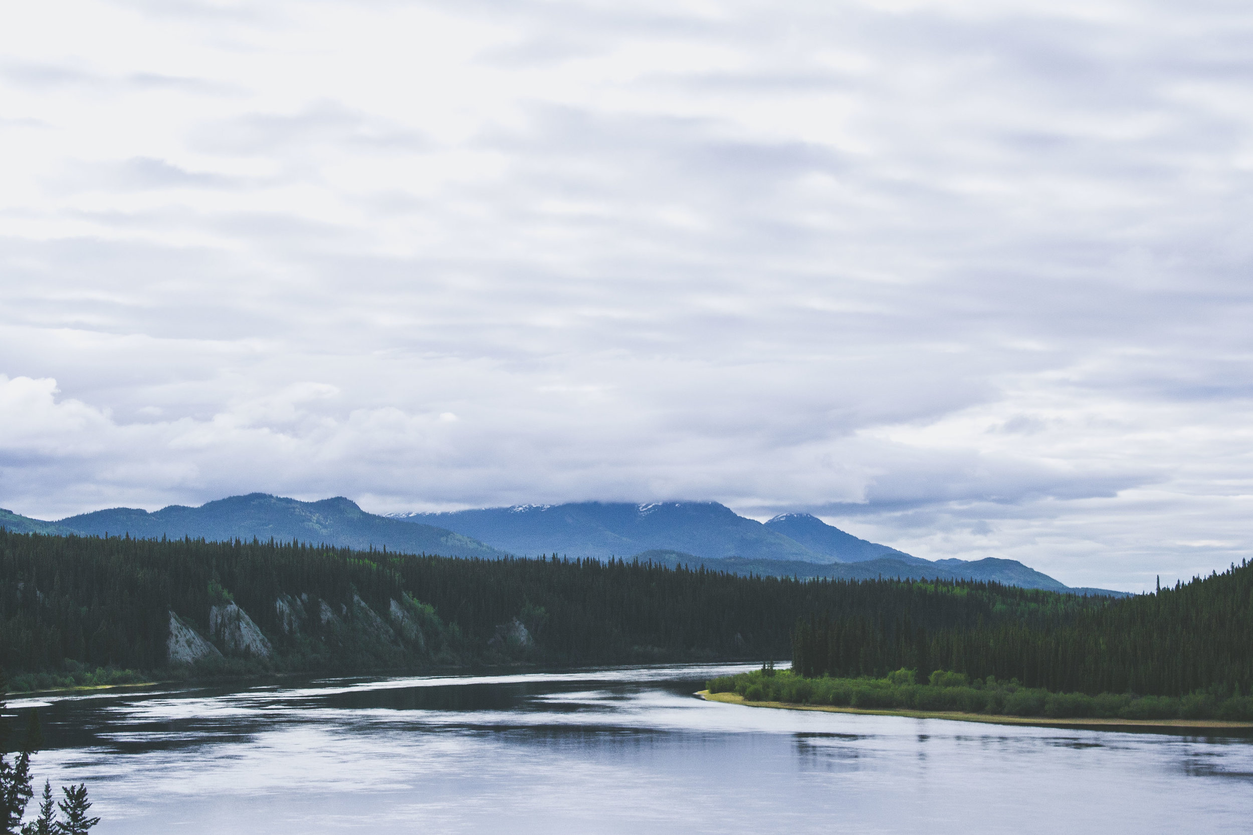
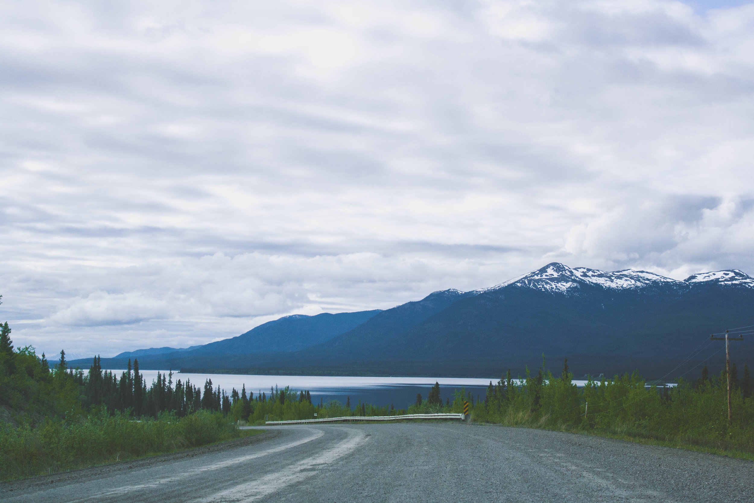
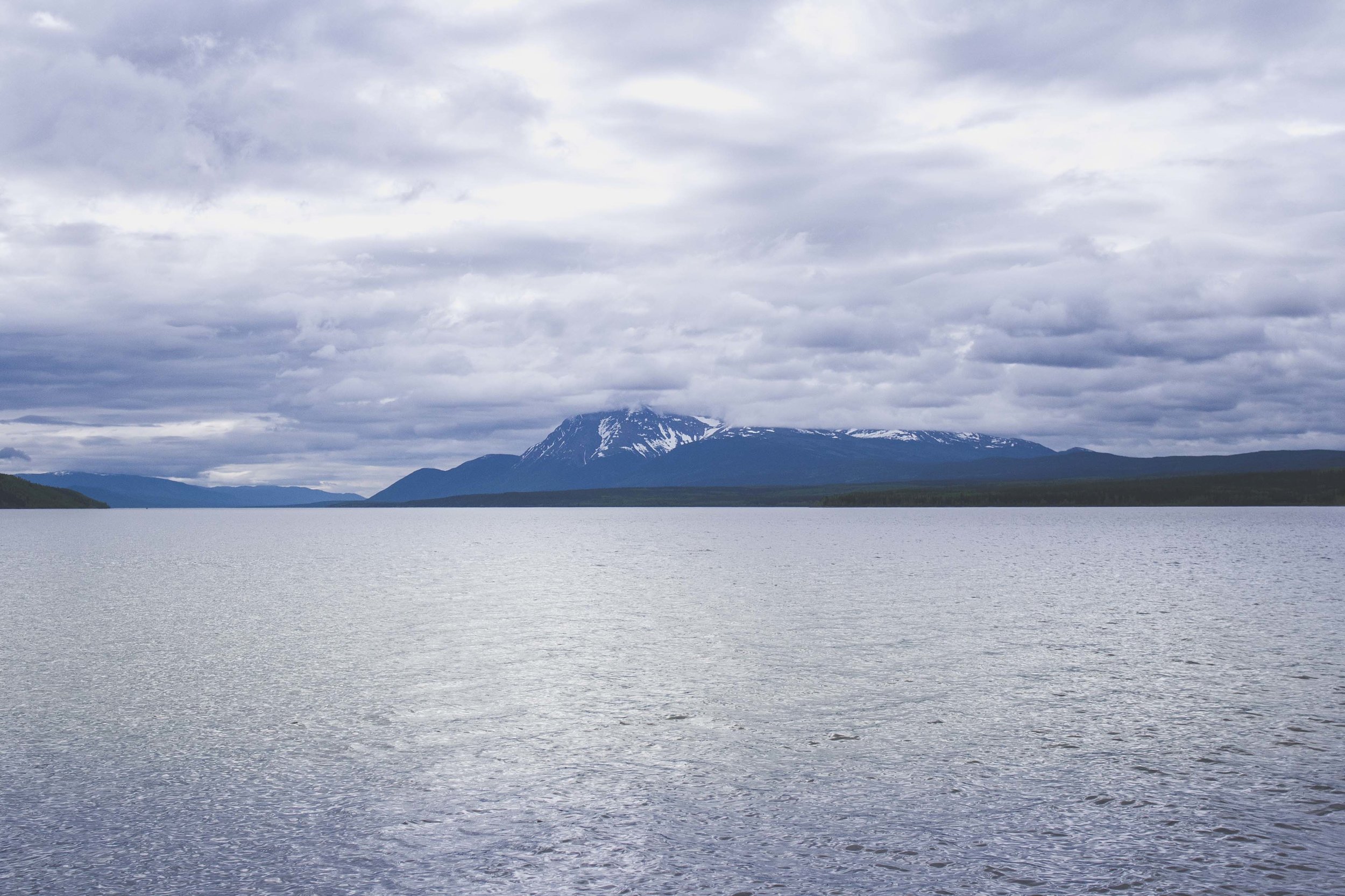
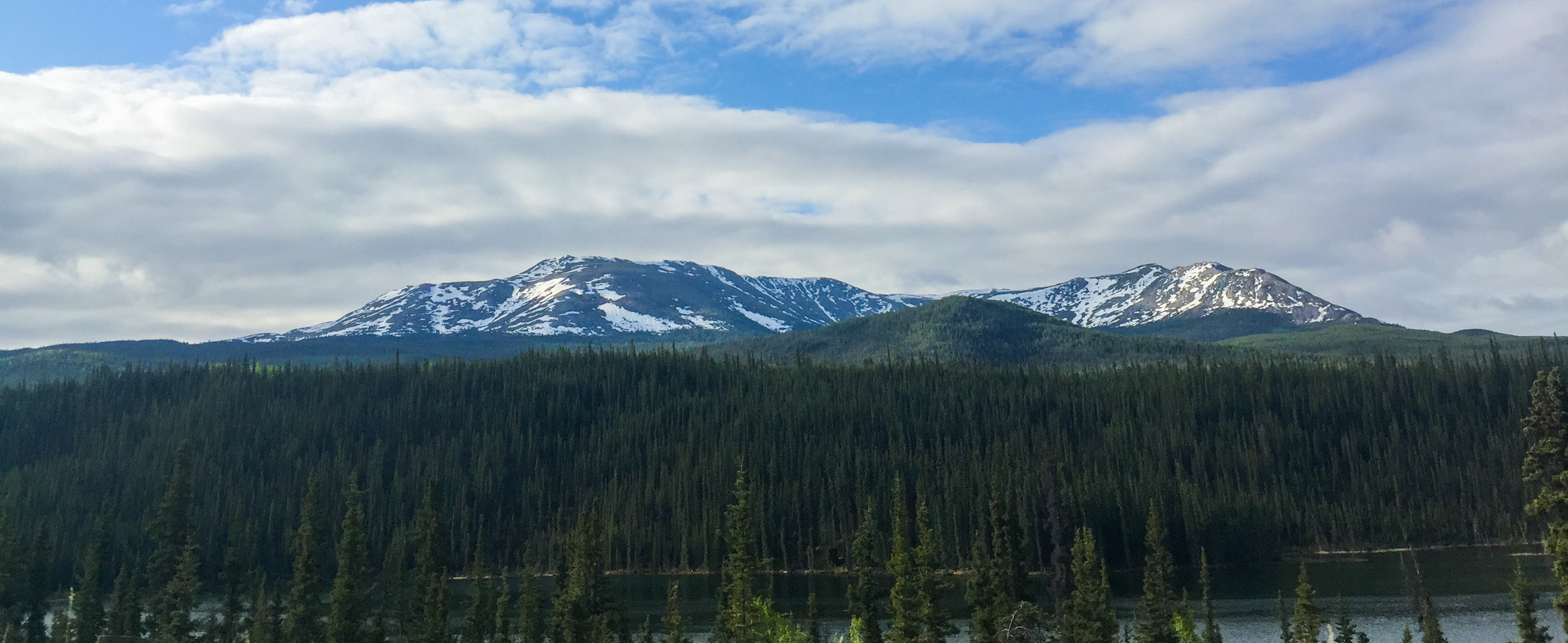
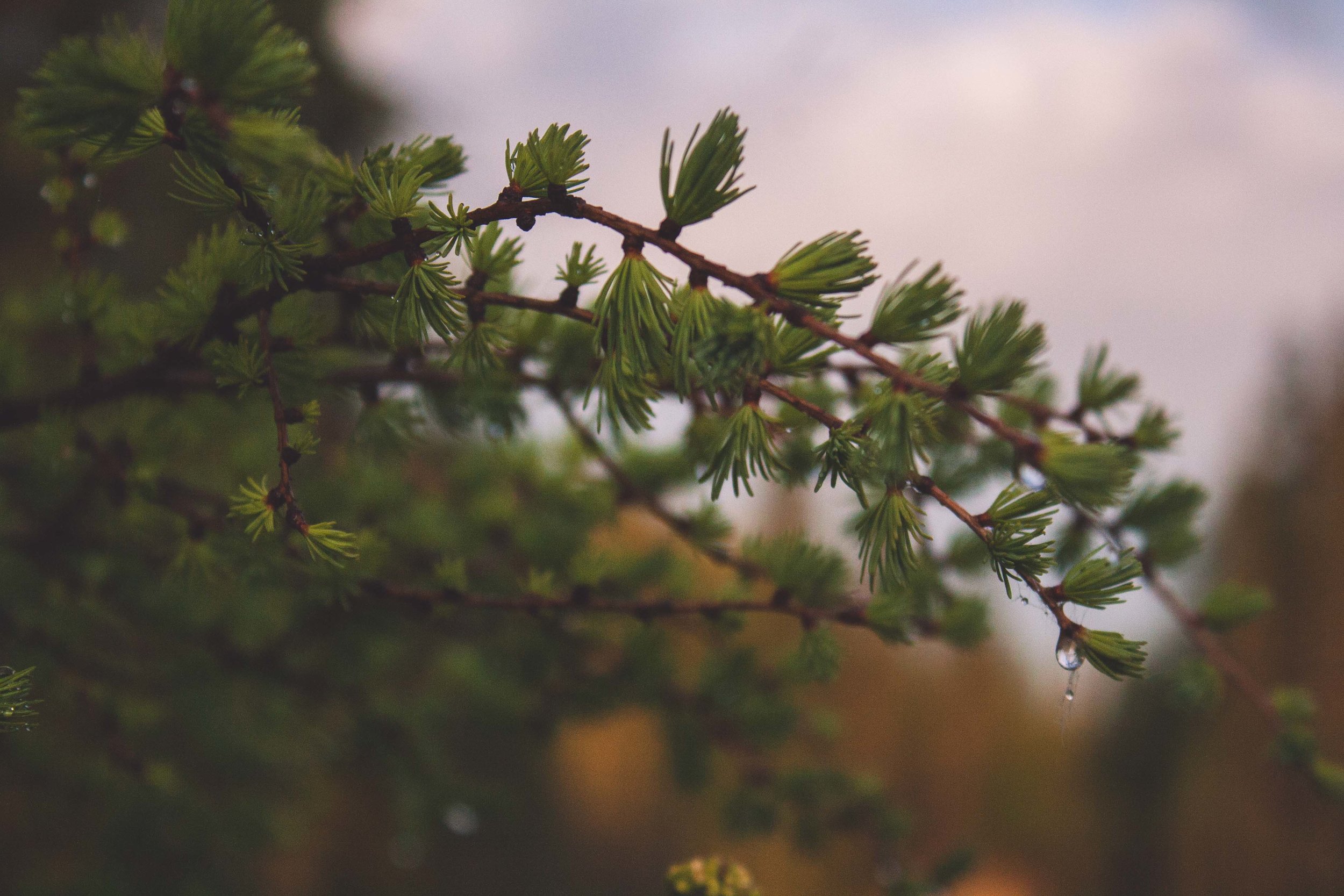
Some of the beautiful views we saw on May 23rd:
We stop at the Signpost Forest
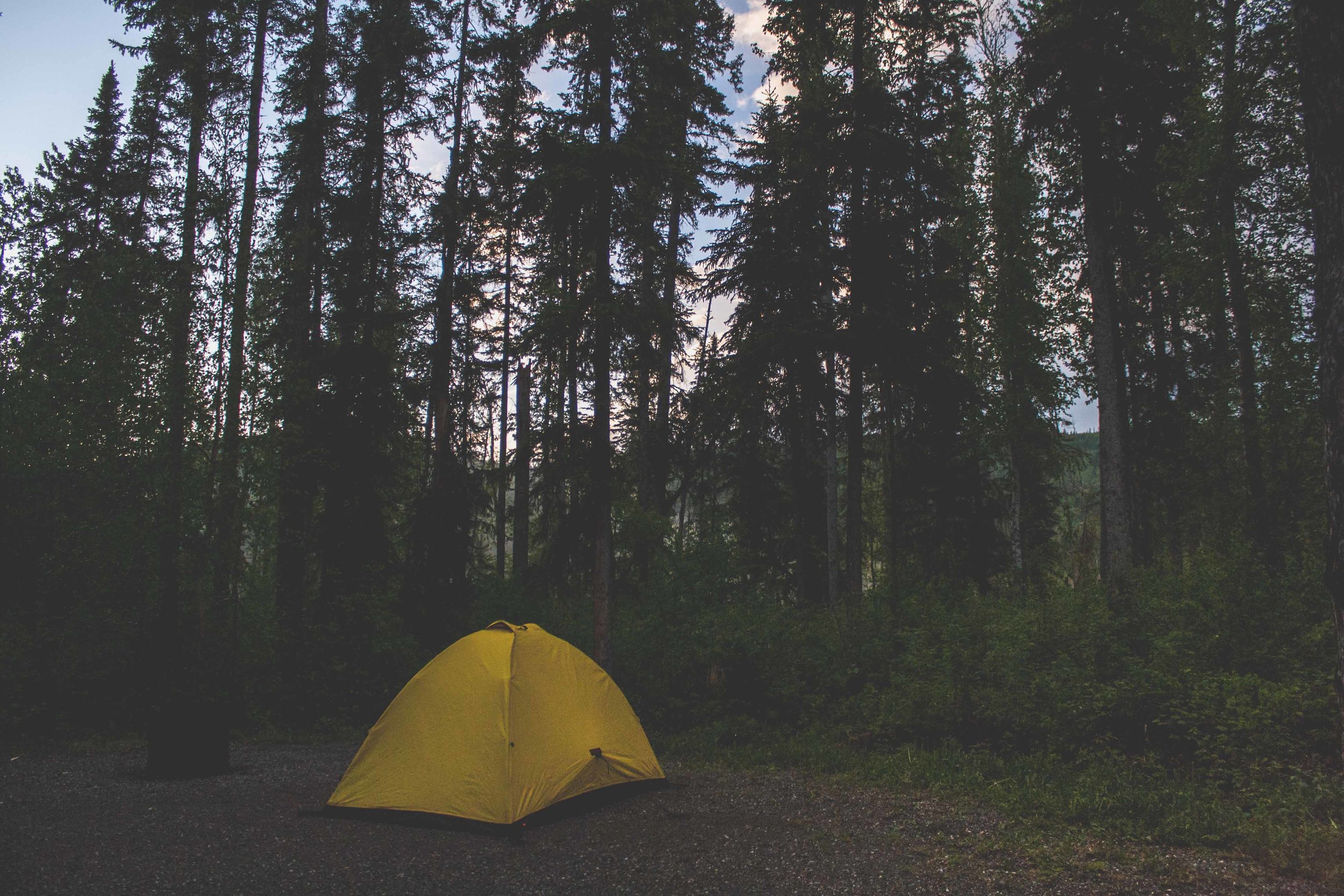
Wolfcreek Campground
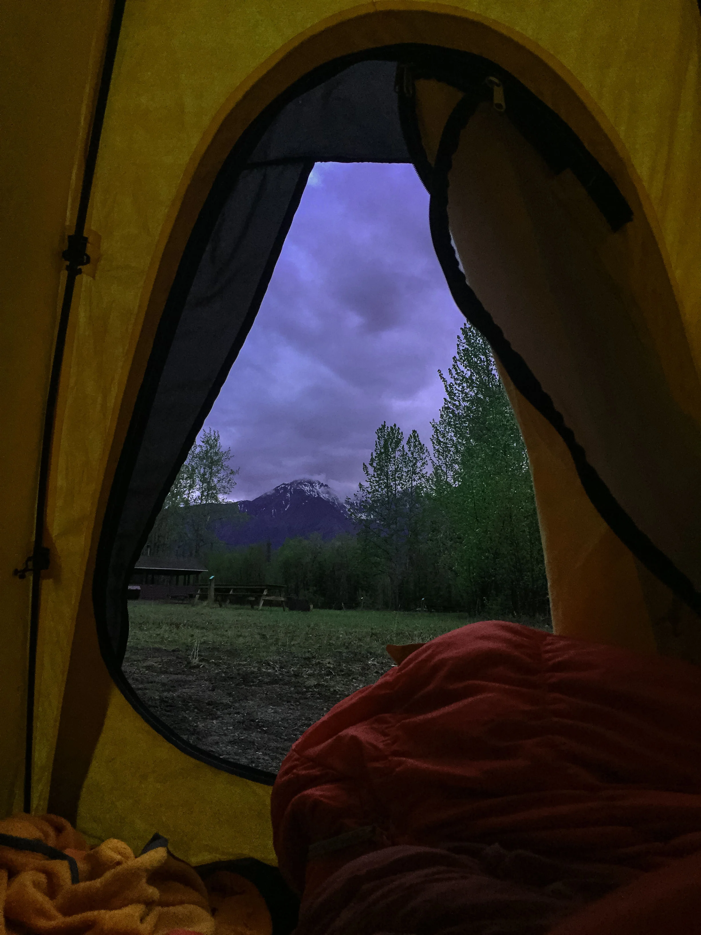
We woke up early at Wolfcreek Campground, the rain had stopped and for once our tent was pretty dry. We were in the outskirts of Whitehorse and had pretty mixed feelings about the campground. Being so close to Whitehorse it draws more people to it, and sometimes not the best people. About 70% of the whole population of YT lives in Whitehorse (a whopping 25,000) which makes it the largest city in the YT. Our goal for today was to drive about 260 miles, until we arrived at the Signpost Forest in Watson Lake. Watson lake is one of the larger towns in YT (well everything is relative, right..), about 1000 people live here which makes it the third largest city in YT. The Signpost Forest itself was created in 1942 by a U.S. soldier recovering from an injury. I can only imagine how boring it must be to be injured at a place like this, in the middle of nowhere. Today more than 77,000 signs can be seen here.


We enter British Columbia and drive towards Liard Hotsprings
We leave the Yukon and its vast wilderness and lack of humans behind us and enter into British Columbia, BC. It's crazy that we spent more than one day driving through the Yukon, just like Robert Service once said,
"There are valleys unpeopled and still;
There’s a land — oh, it beckons and beckons,
And I want to go back — and I will."
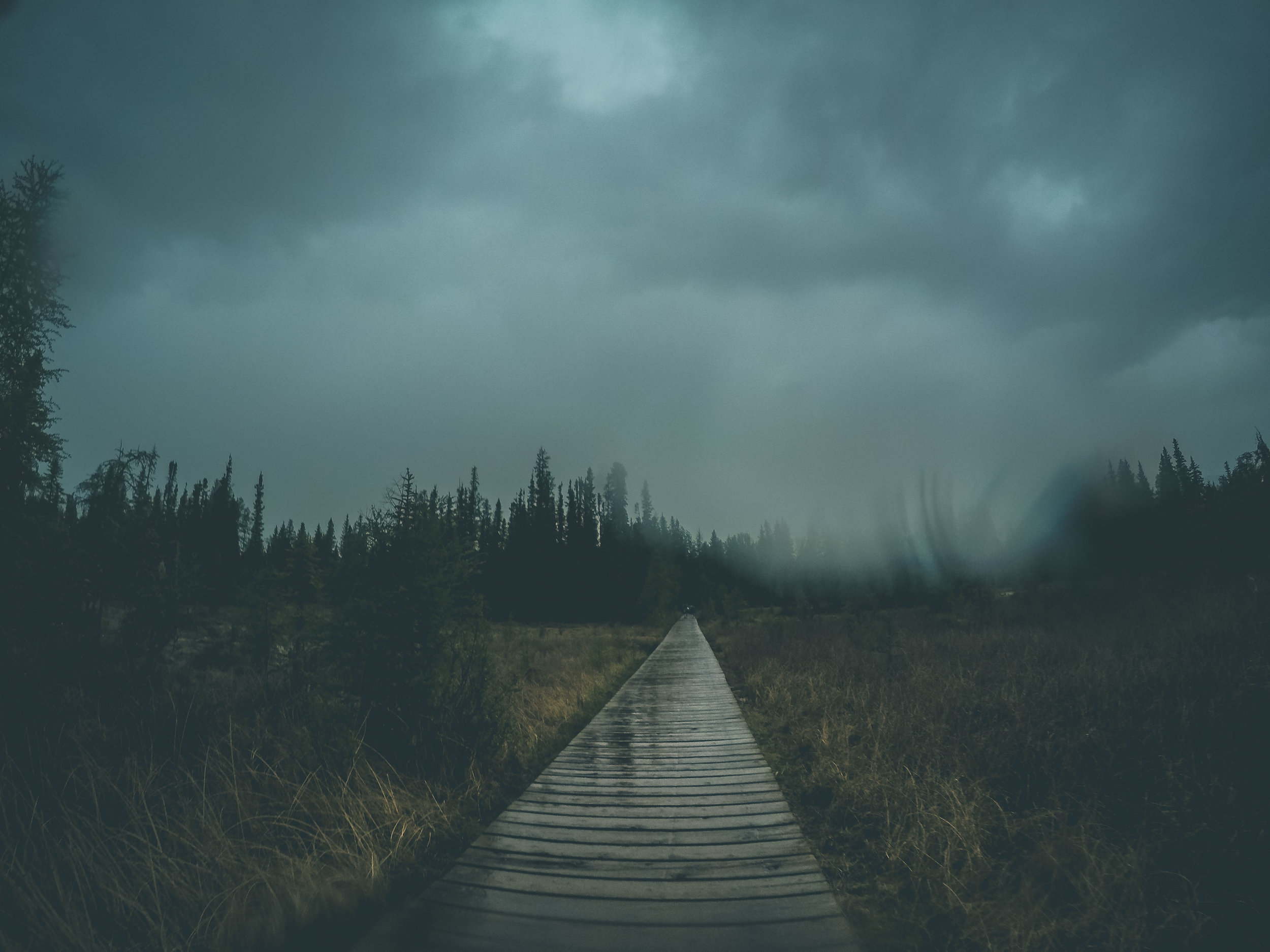
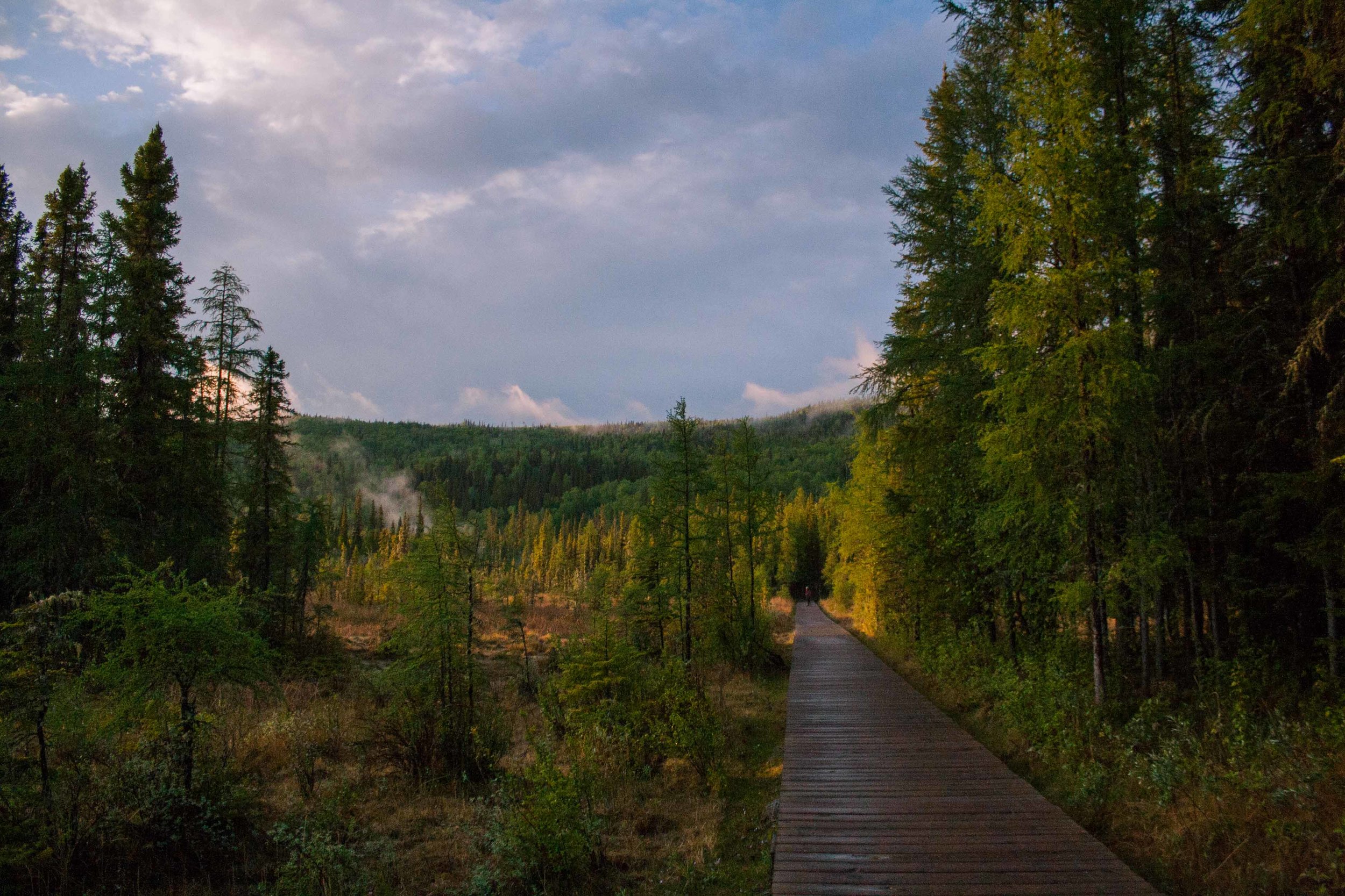
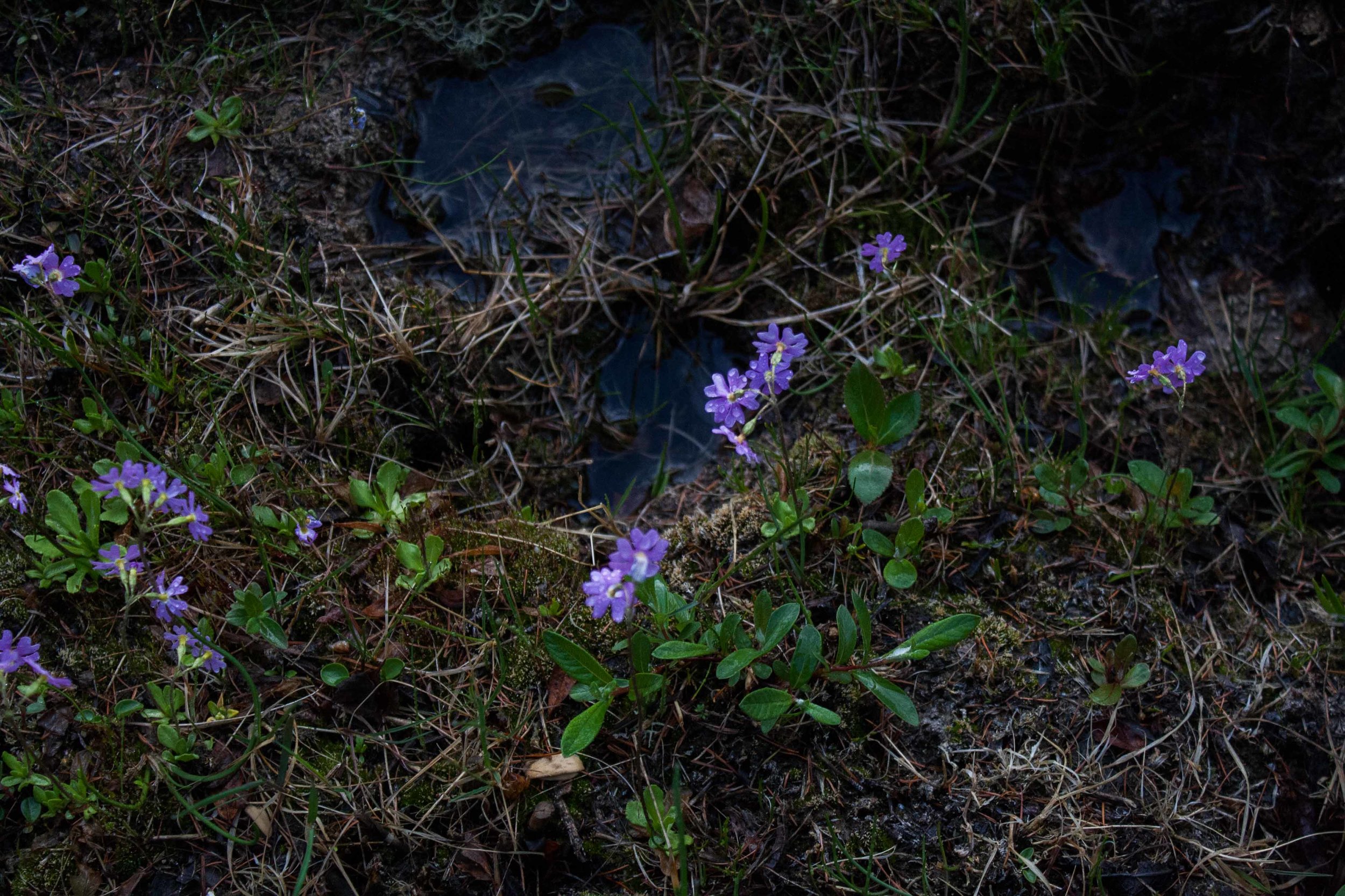
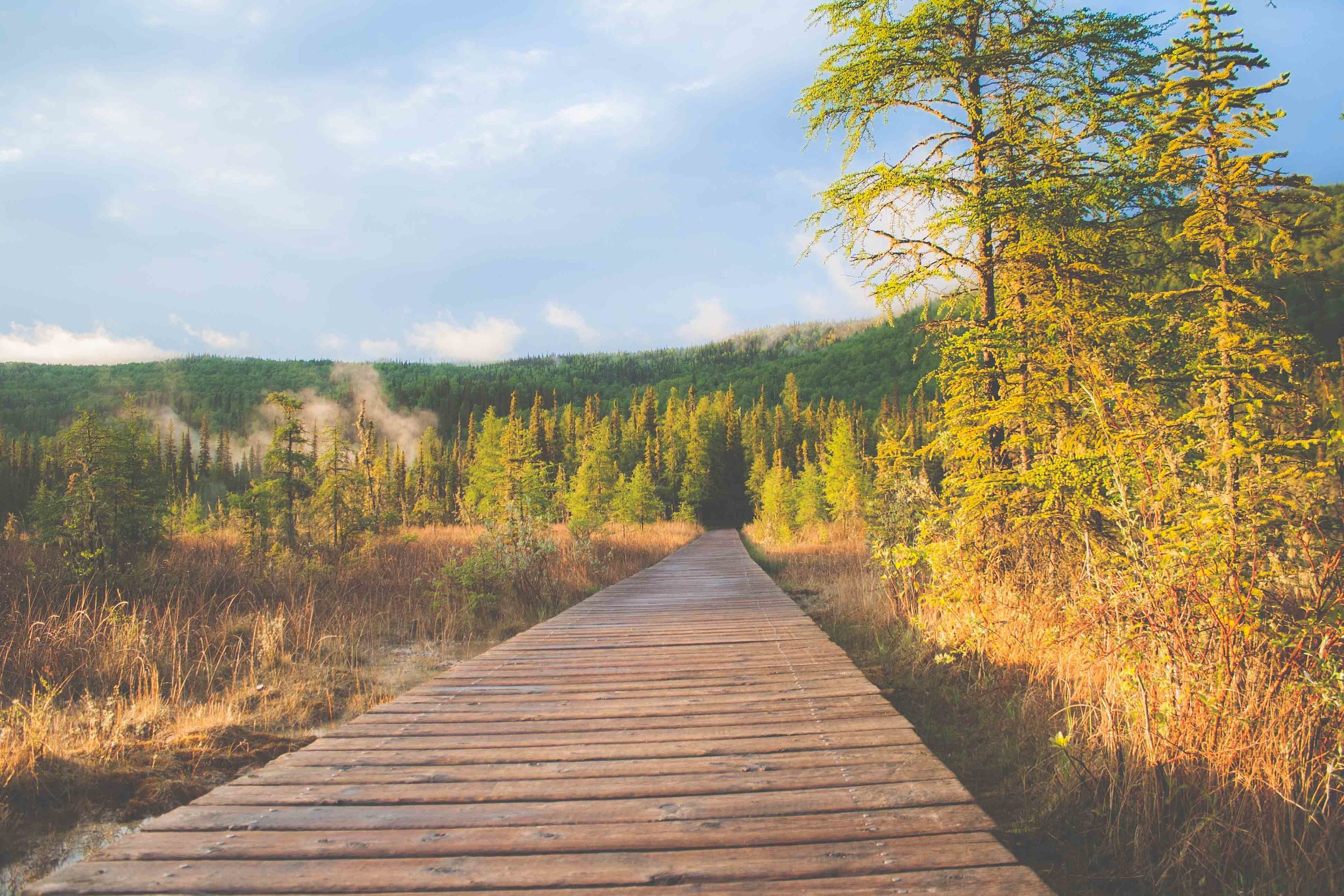
About 4.6 million people live here, quite the contrast to YT's 35,000 people. We drive into the famous Liard River Hot Springs Provincial Park with that rain constantly haunting us from behind. I have actually written about Liard Hot Springs in the past, but for a completely different reason. At Liard Hot Springs Provisional park, a well known bear attack took place back in 1997. You are in bear country all through the Alcan, Alaska and most parts of Canada. The bear attack in 1997 was a random one, which is probably why it is so famous when people talk about bear safety, but you still need to be bear aware. Liard Hot Springs is surrounded by the deep boreal forest, tall black and white spruce, but also lodgepole pine are mixed in with the deciduous vegetation like aspen and birch. We walked on a long boardwalk over these beautiful wetlands, surrounded by the beautiful boreal forest. At the end of the boardwalk we walked into the forest and came out in front of the second largest hotspring in Canada. We swam for a while until those thunderstorms that had been chasing us for days arrived again, and we quickly got out of the water to head back to the parking lot.


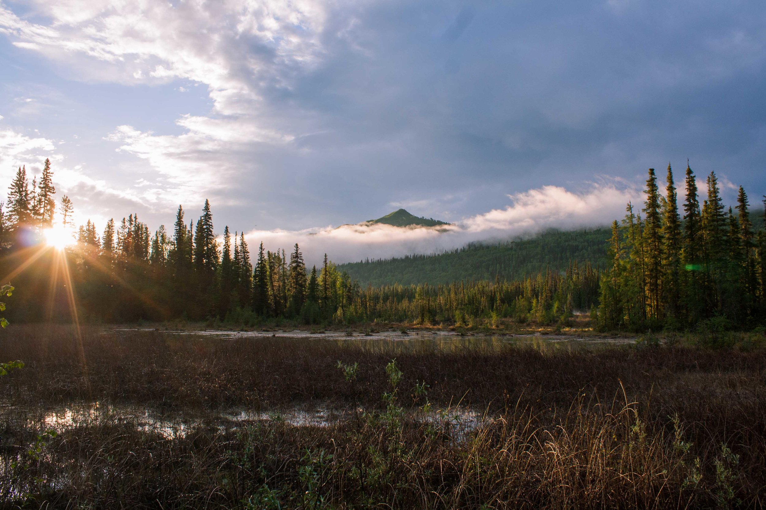
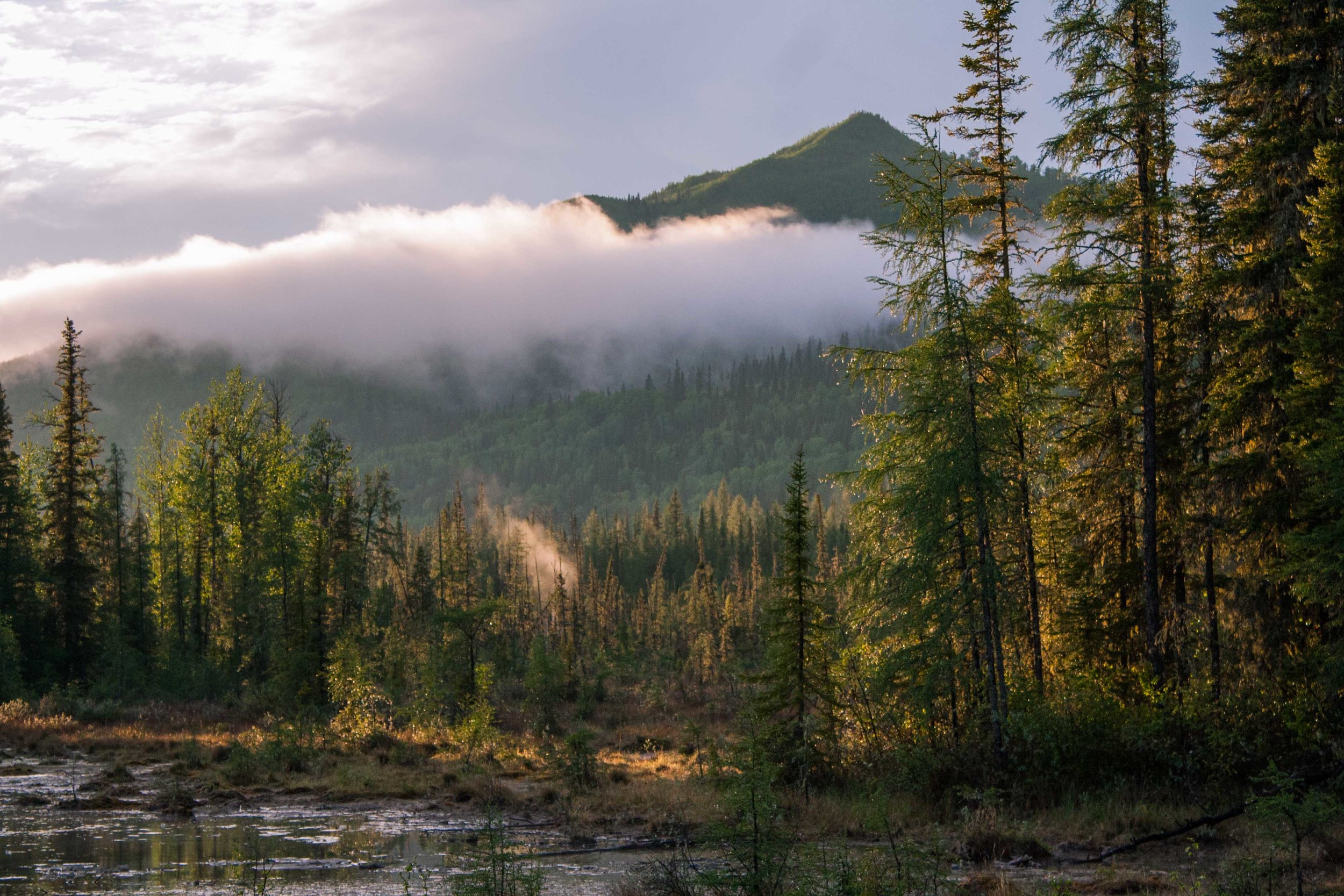
Come Rain Come Shine
Once the rain stopped we walked back towards the hot springs again and shot some pictures. It was so beautiful there. The sun, the misty air that was created once the sun broke out after the short but heavy thunderstorm, and just nature itself. A typical summer evening was forming, a pretty damp but beautiful one. Later that evening we could go to bed with a smile on our faces, a reminder of how lucky we are to get to see places like this.
Day 3 trip Details - Gas, Camping, and gas mileage
Canada: Jakes Corner Whitehorse. MP 866 Alaska highway, YT, 55 miles from Wolf Creek Campground. Gas mileage: 21.42 miles/gallon
Canada: Rancheria Motel and Cafe. MP 710 Alaska highway Watson lake, YT, 150.5 miles. Gas mileage: 30.967 miles/gallon
Canada: Somewhere...171.2 miles. Mileage 25.22 miles/gallon
Total driving on day 3, about 276.7 + 31.8 miles from the gas station to Liard Hotsprings Campground (408.5 miles).
The grand total of the whole trip: 1018.4 miles
Campground: Liard River Hot Springs Provincial Park