It’s like Alaska on Steroids
DAY 5, 05/25/16: Saskatoon Island Provincial Park to Pocahontas Campground
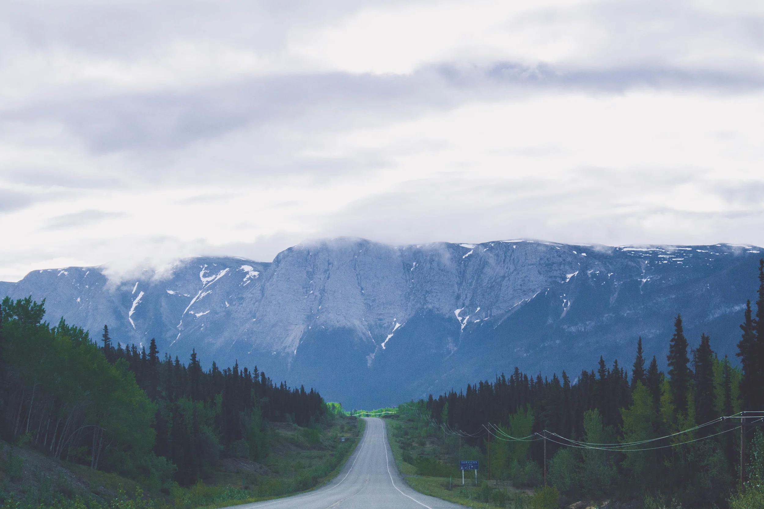
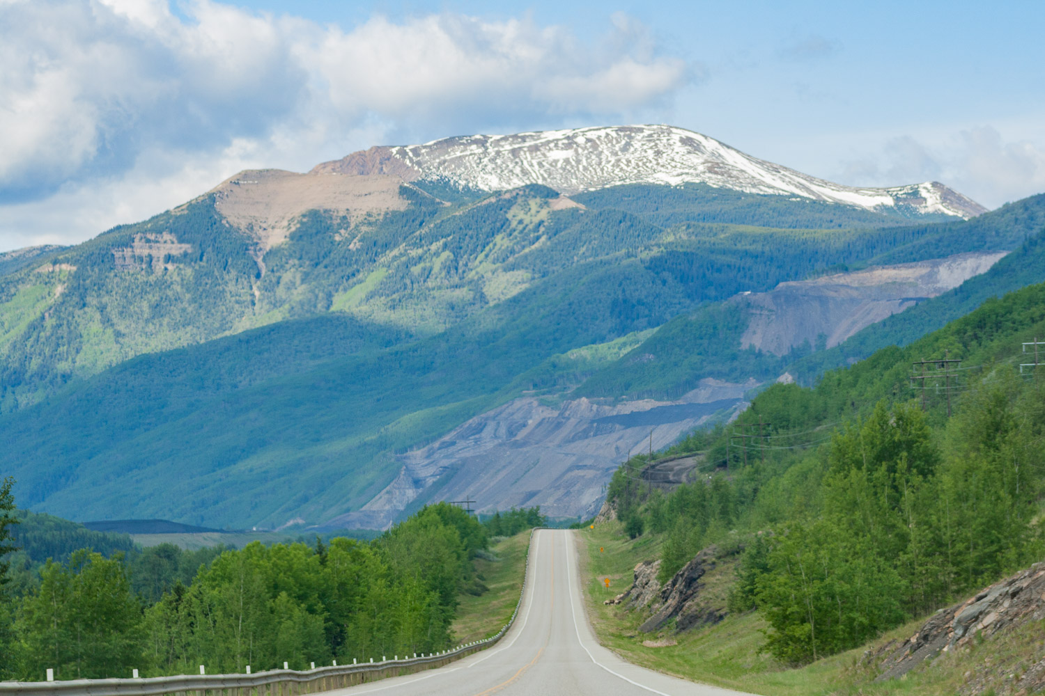
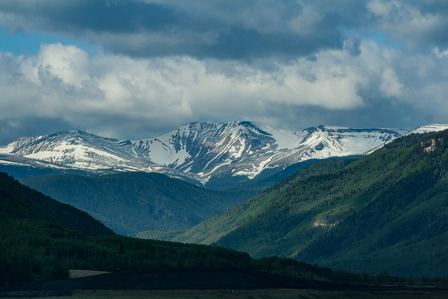
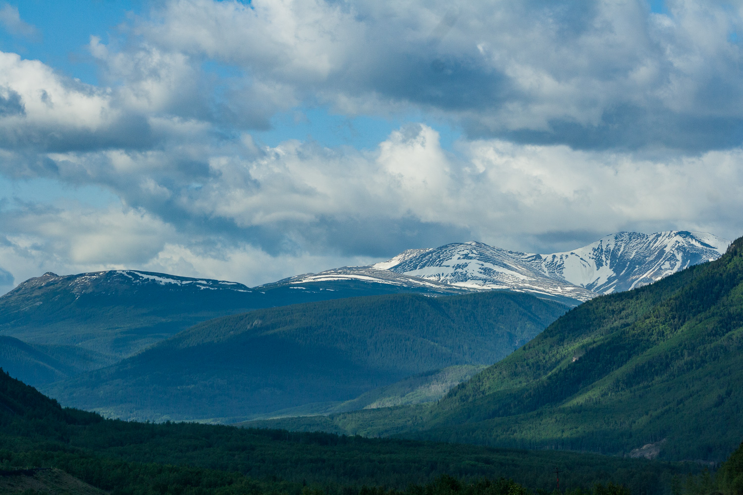
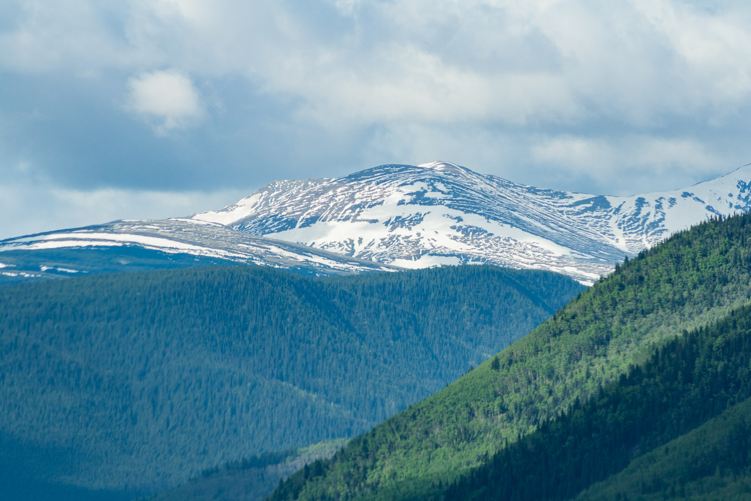
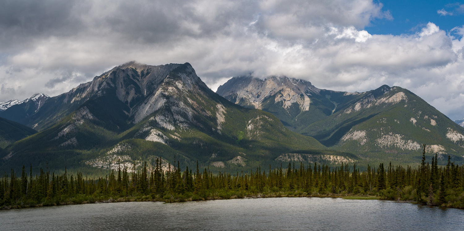
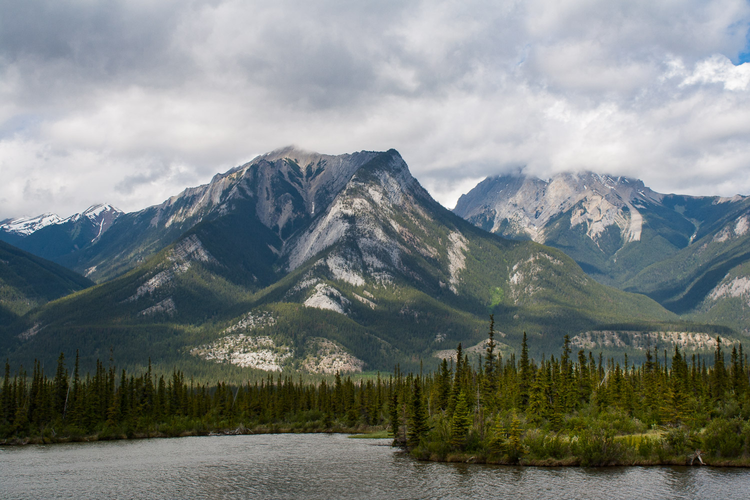
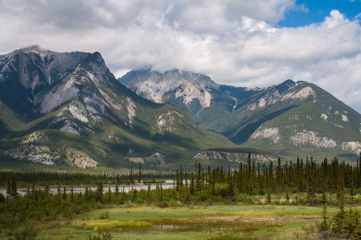
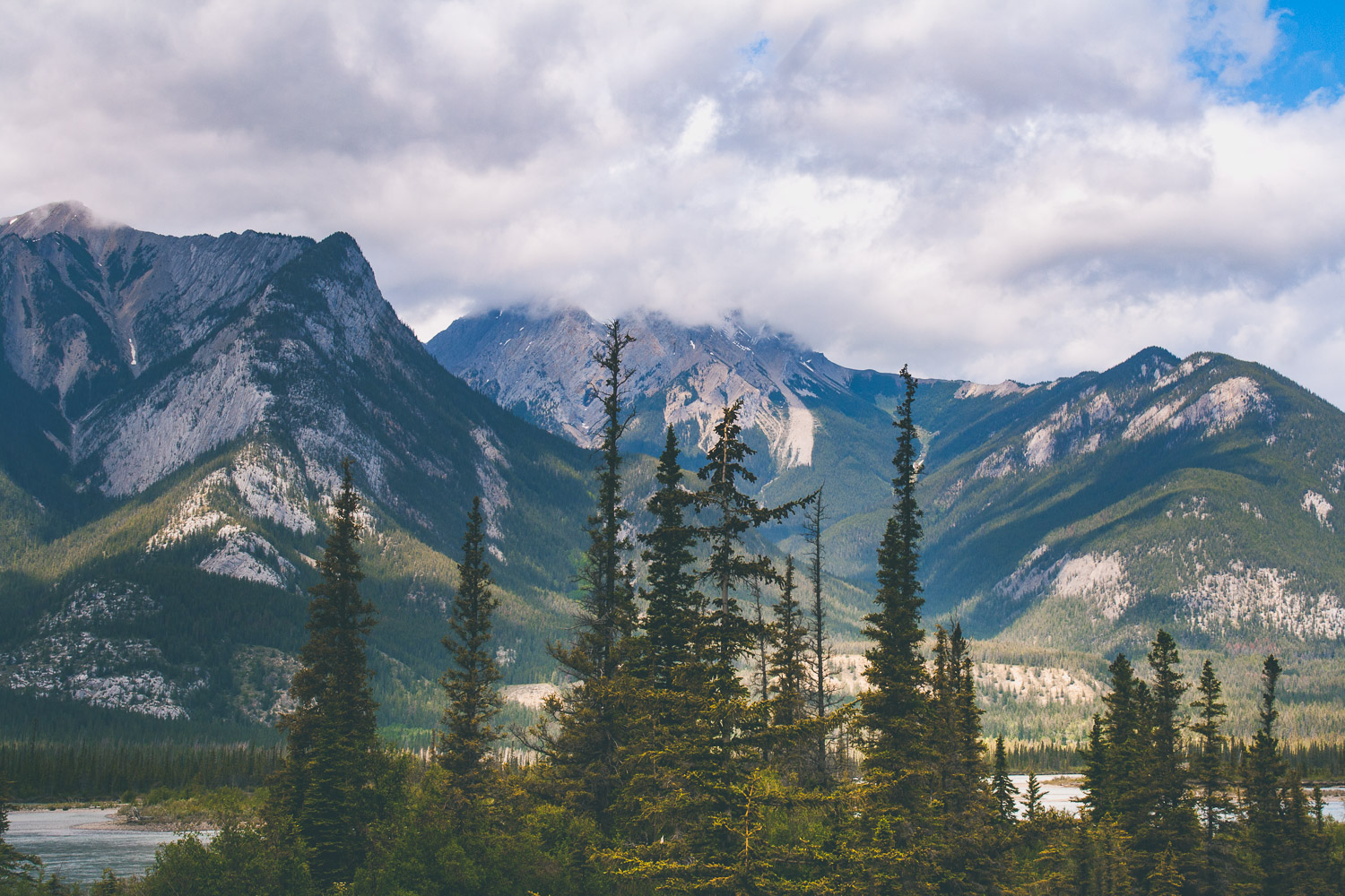
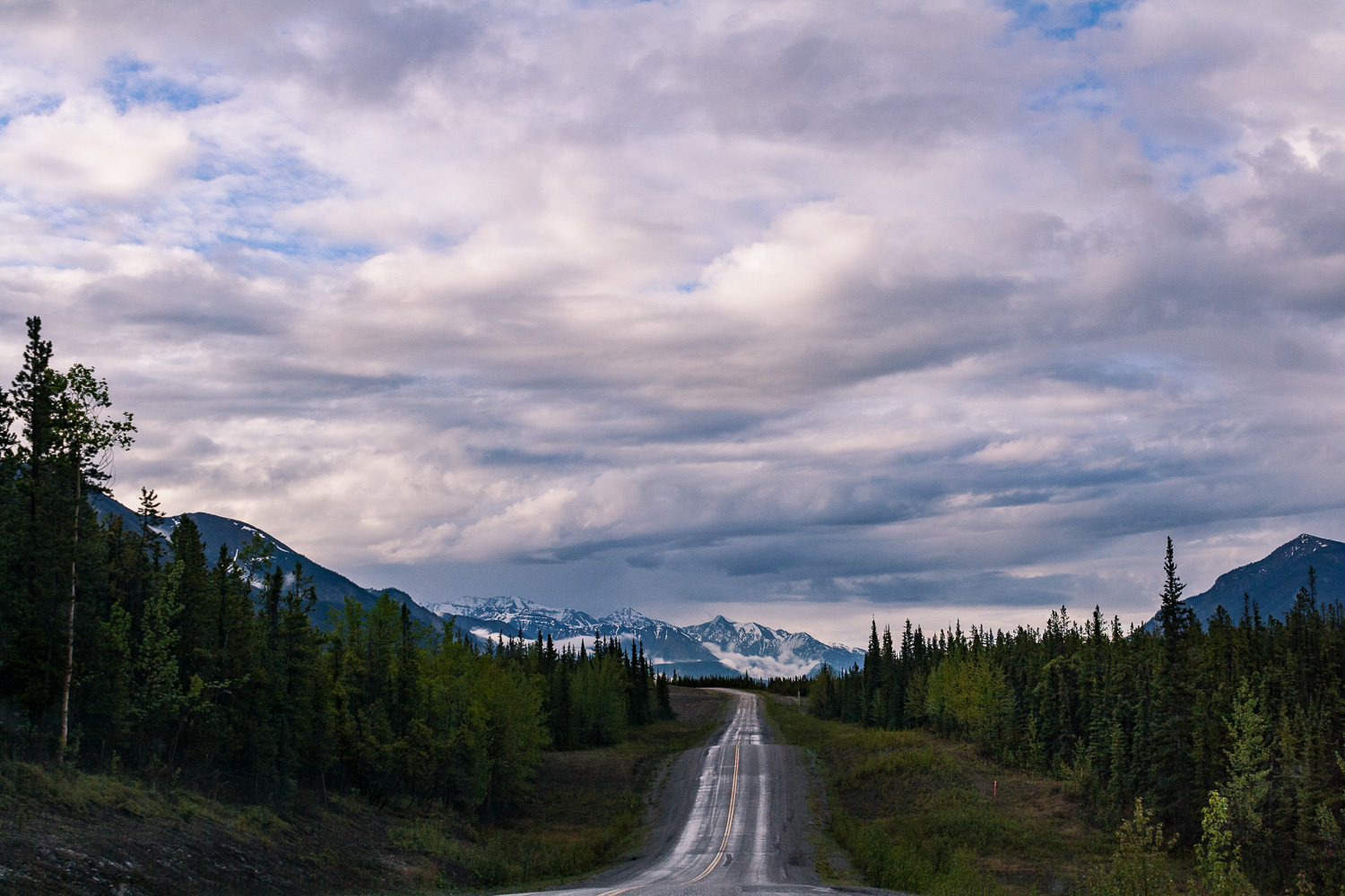
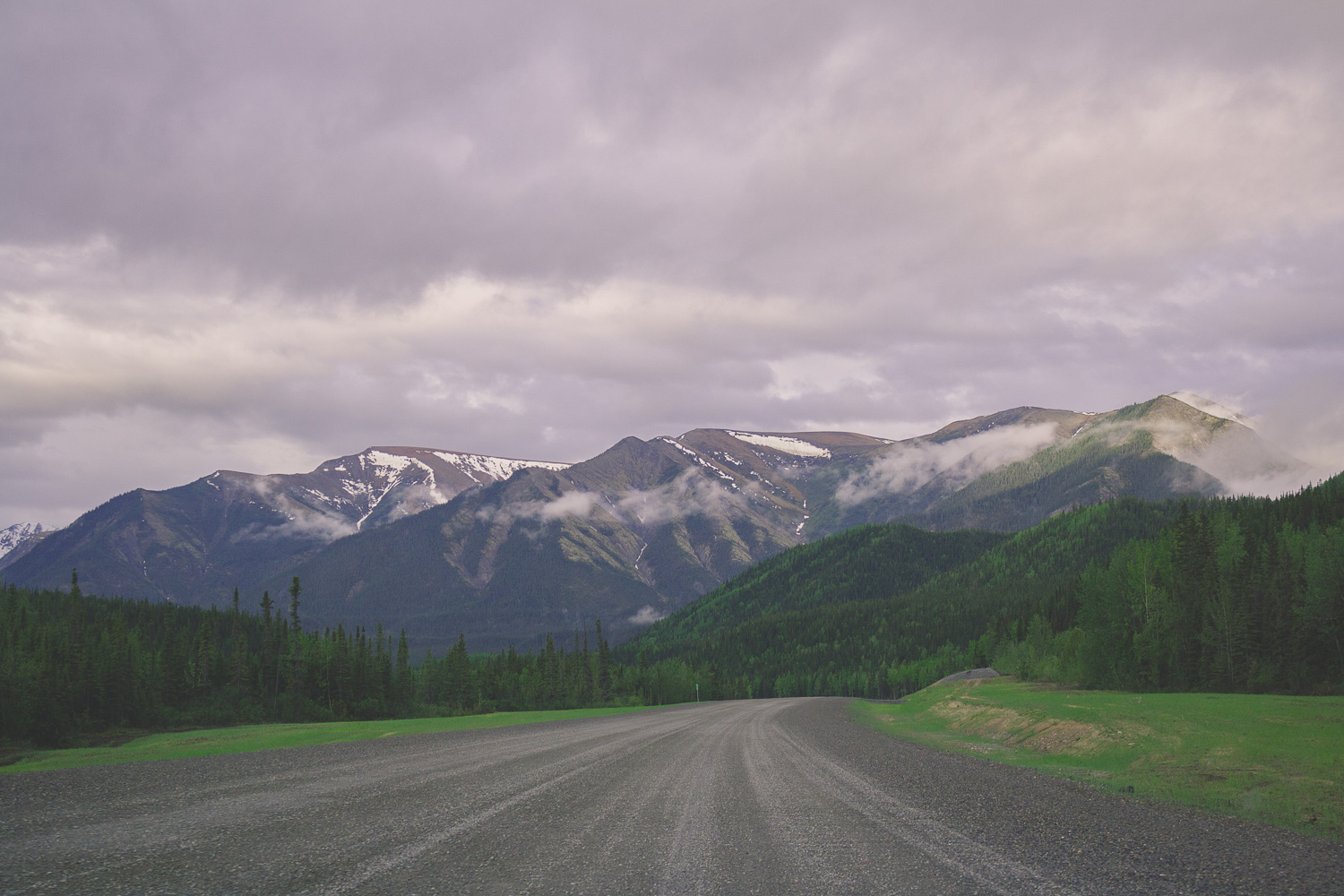
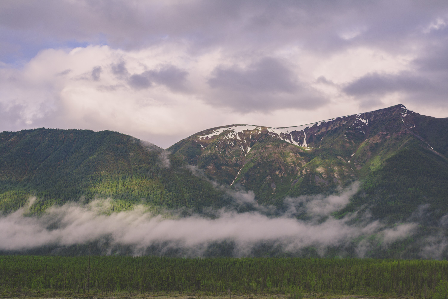
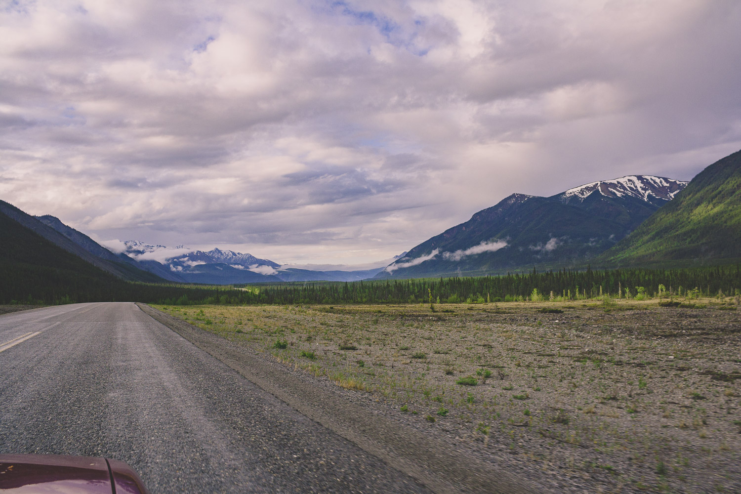
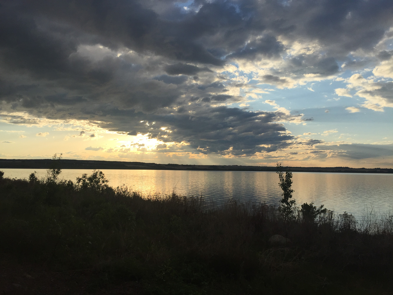
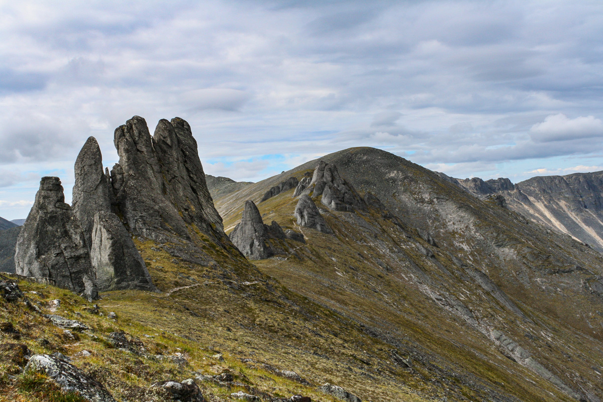
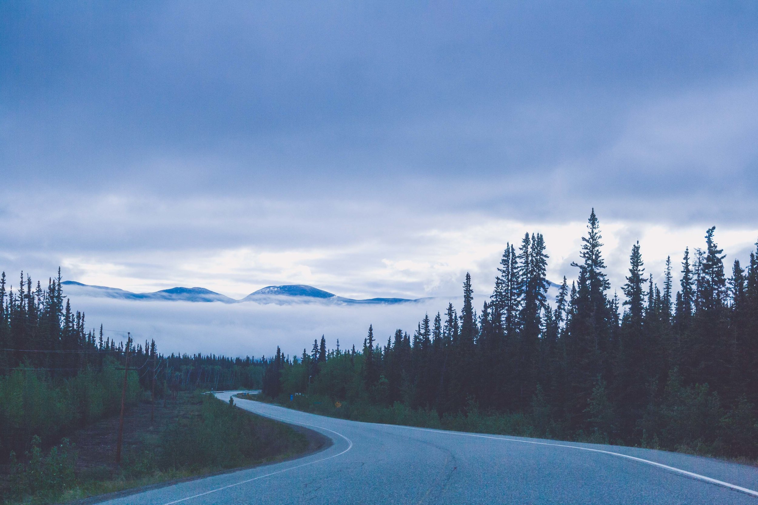
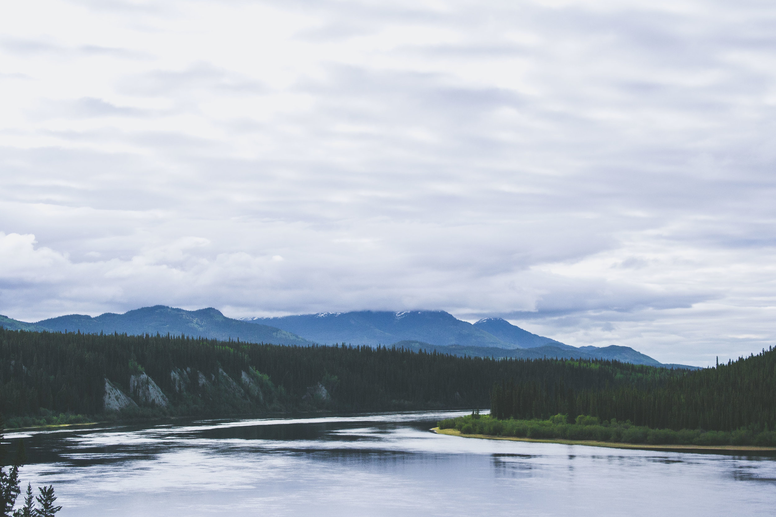
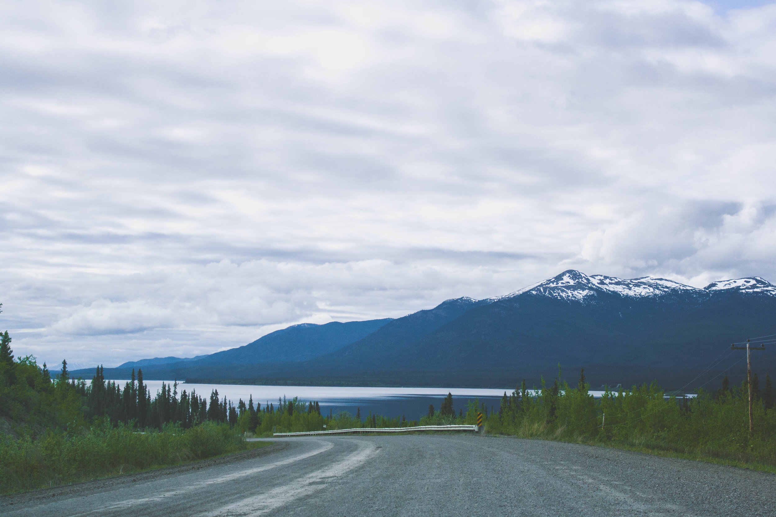
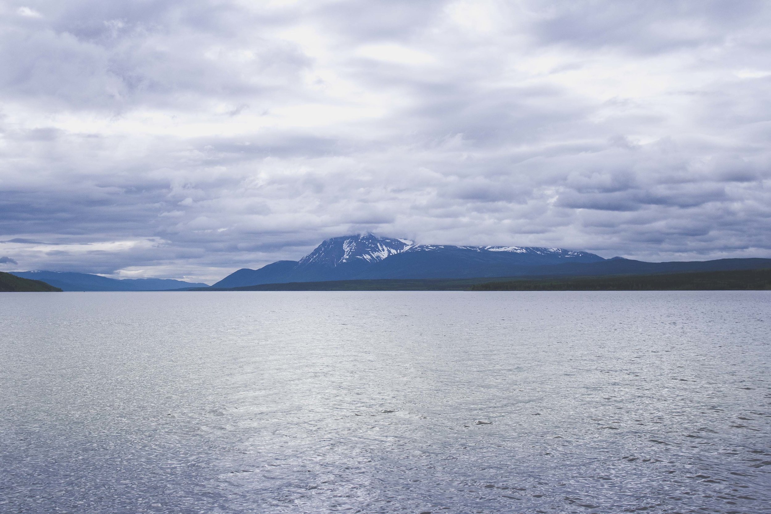
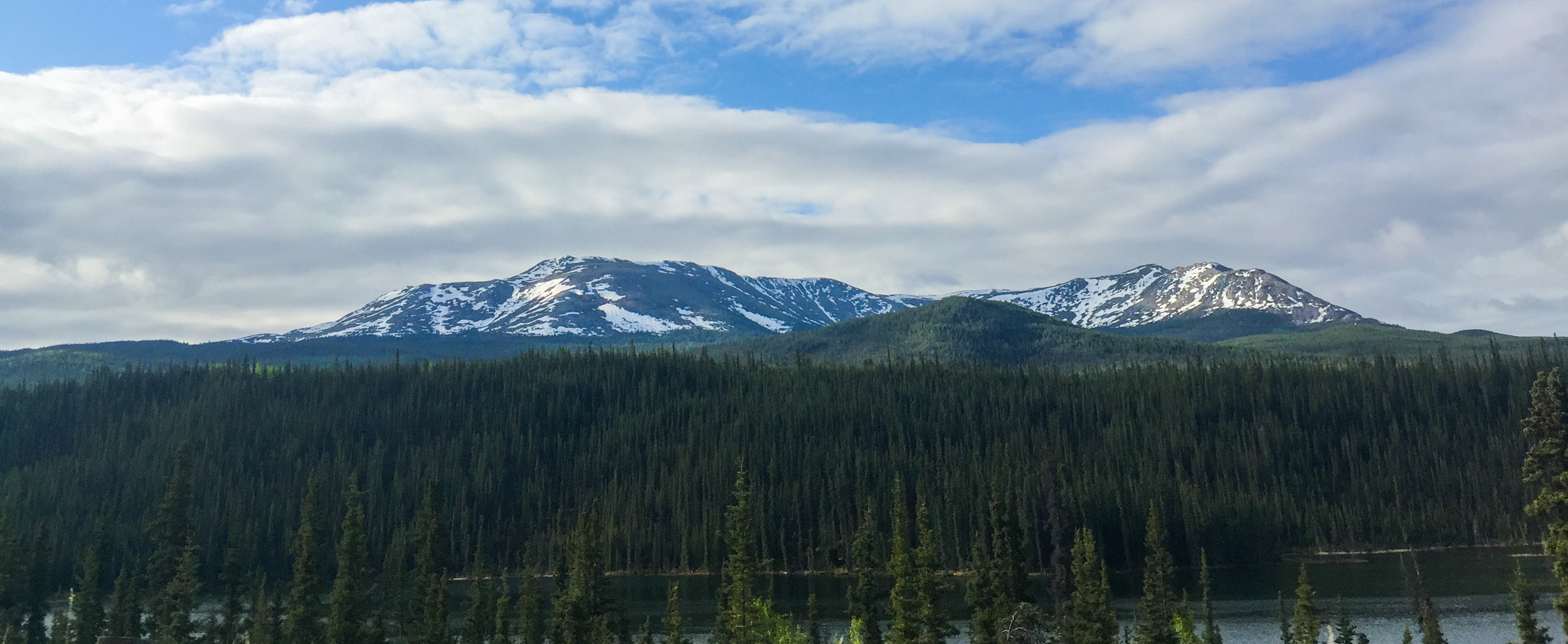
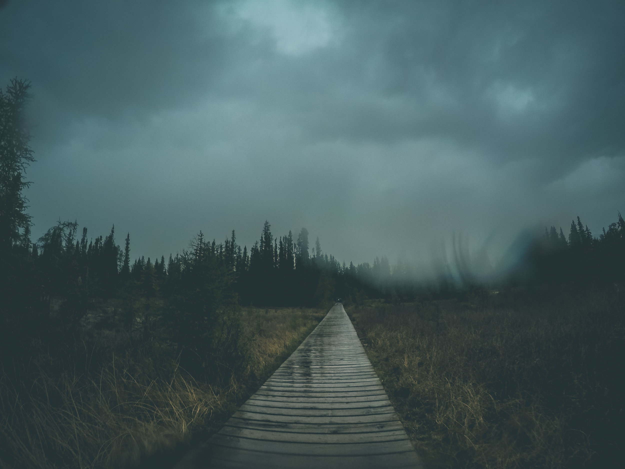
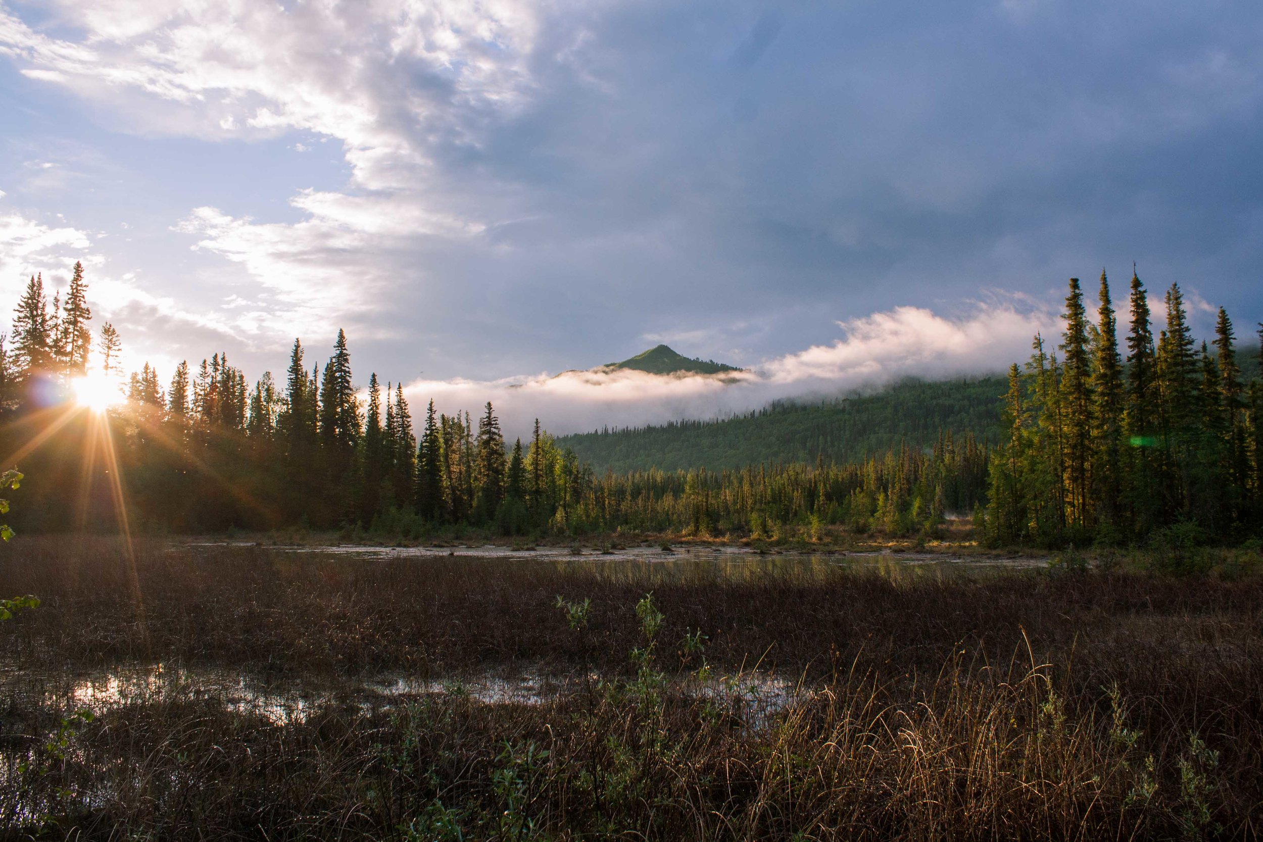
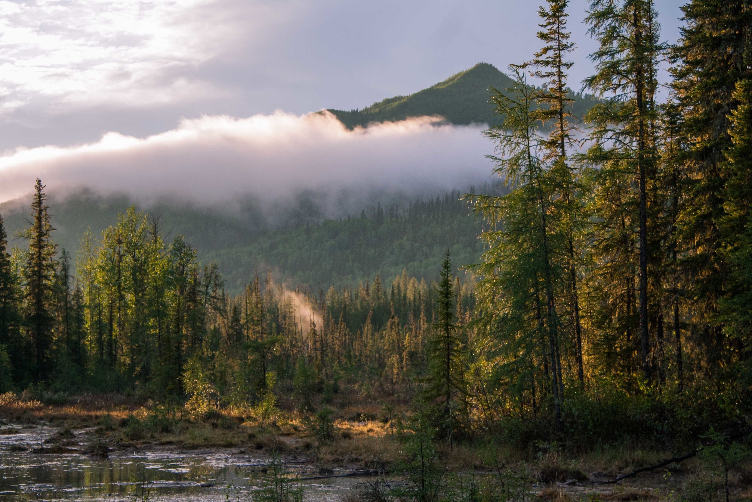
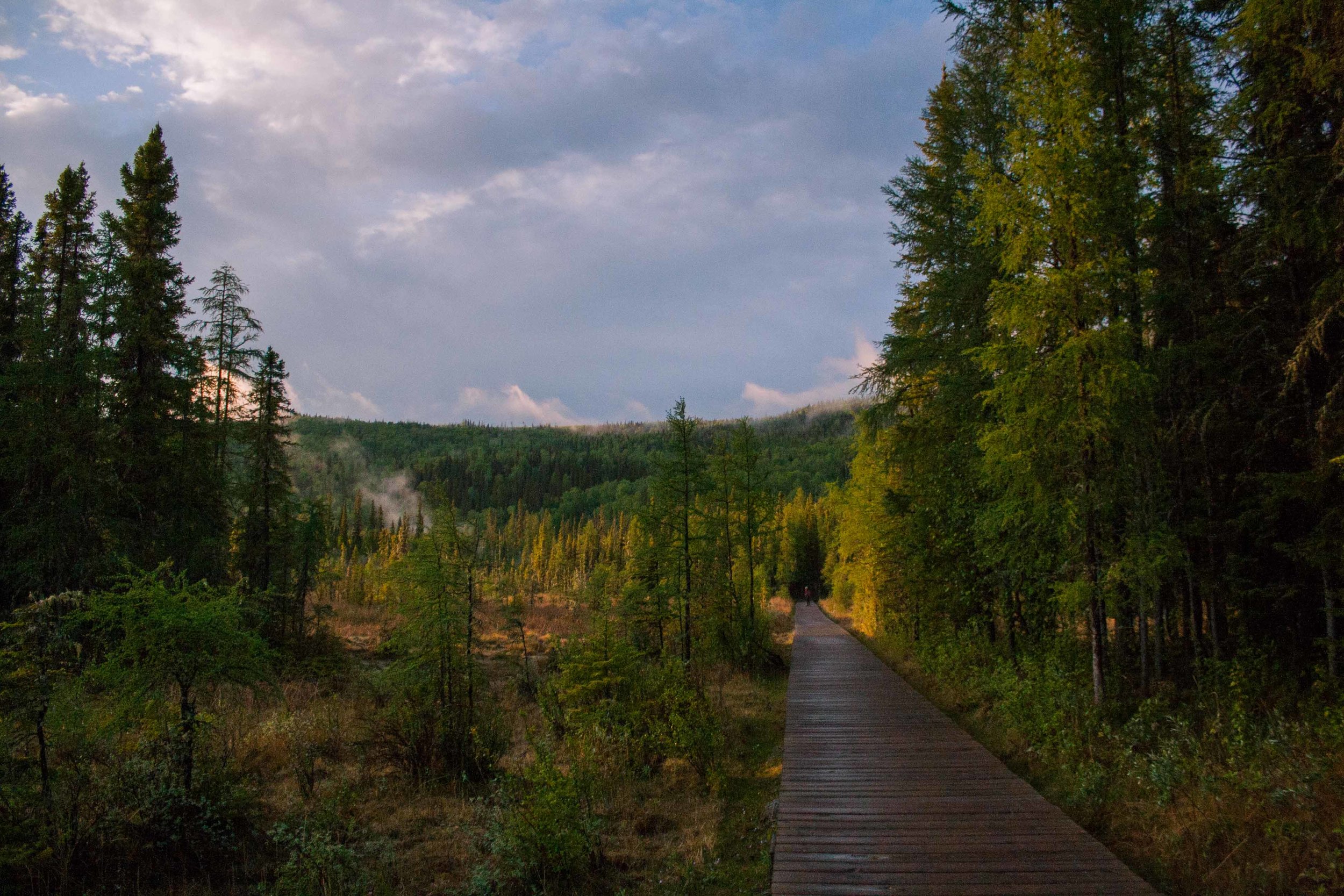
Before I moved to Alaska a Swedish friend who lives there told me that Alaska is like Northern Sweden on Steroids. Well here we were, our fifth day of driving, and I could never have imagined that the views would get even better than what they had been. At one point I looked out the window and told W, I am saturated, saturated of mountains. I said, I can’t take it any longer as I put down the camera on my lap and just stared at all these magnificent views. If Alaska is like northern Sweden on steroids, Western Canada is like Alaska on Steroids. These two coming days we were going to drive fairly long stretches, but we also wanted to explore the national parks a little bit.
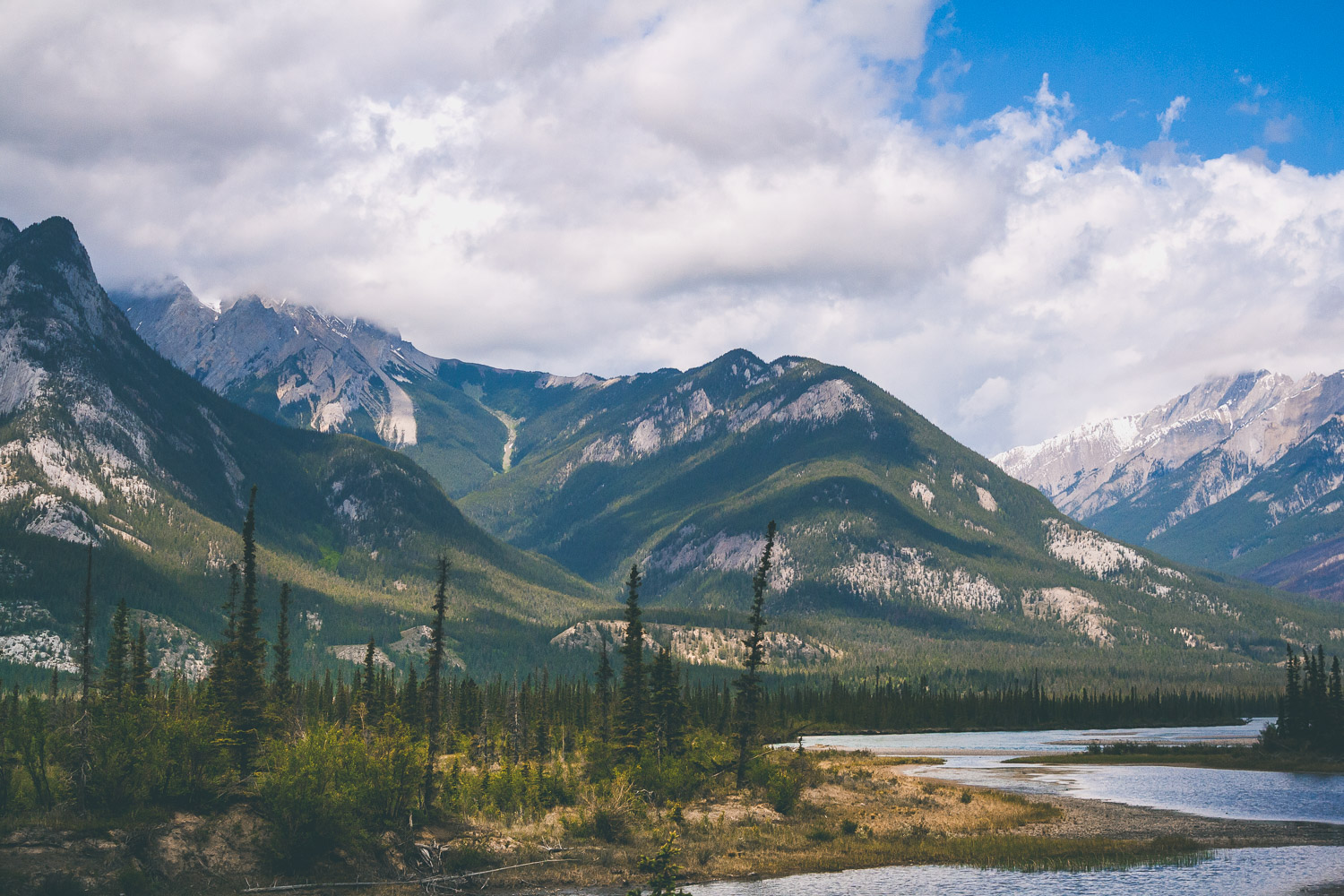
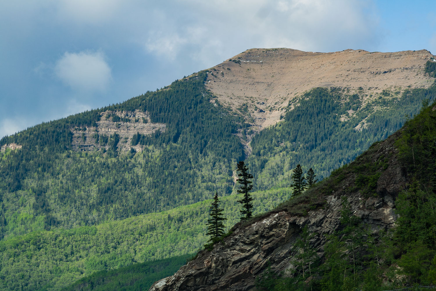
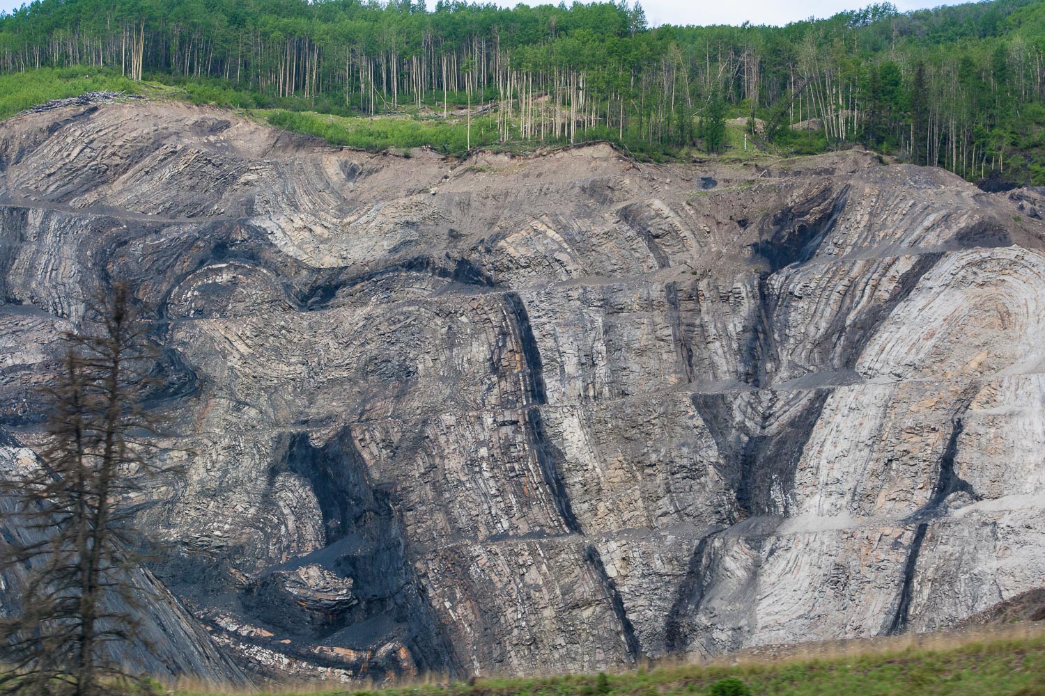
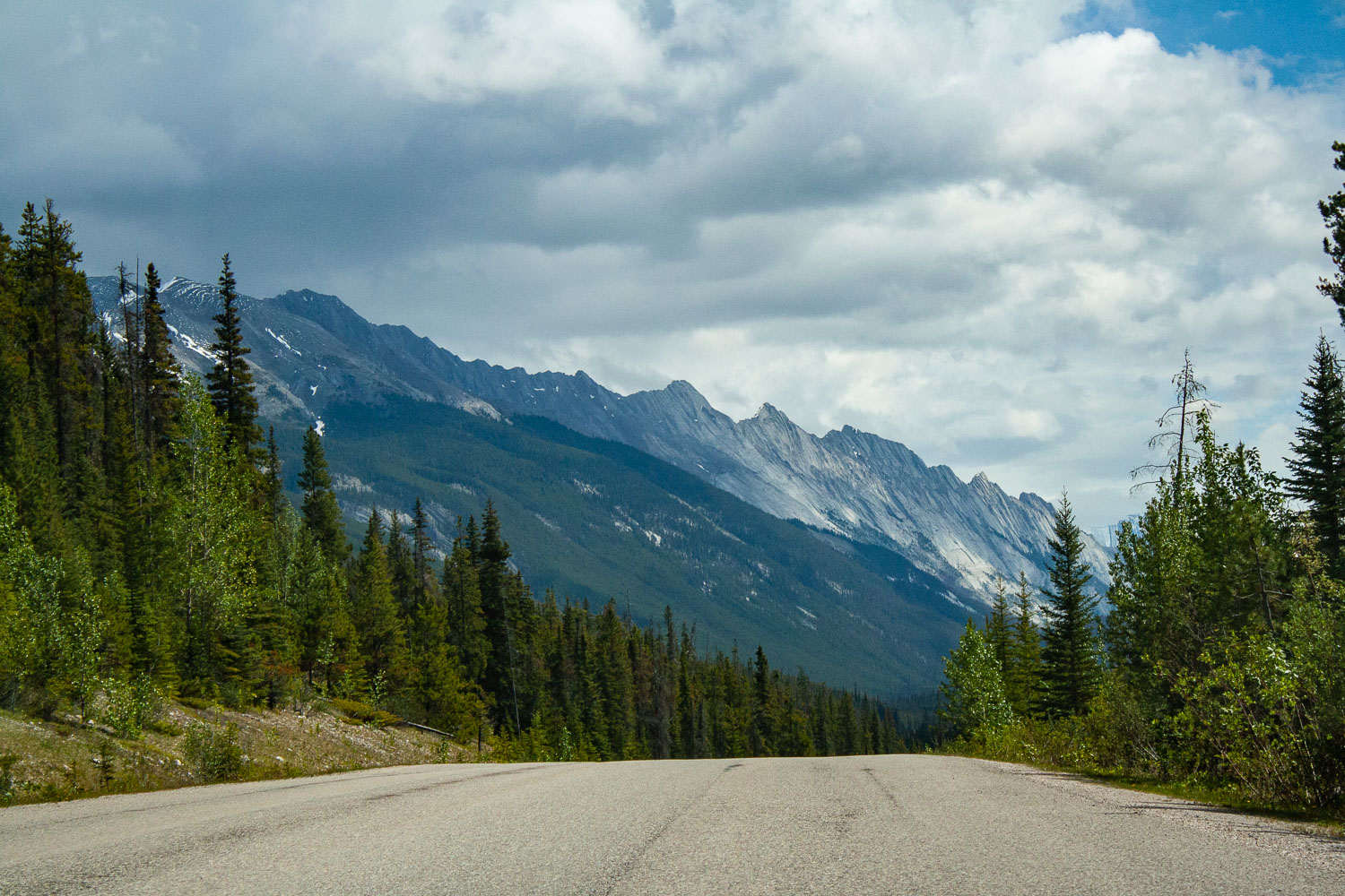
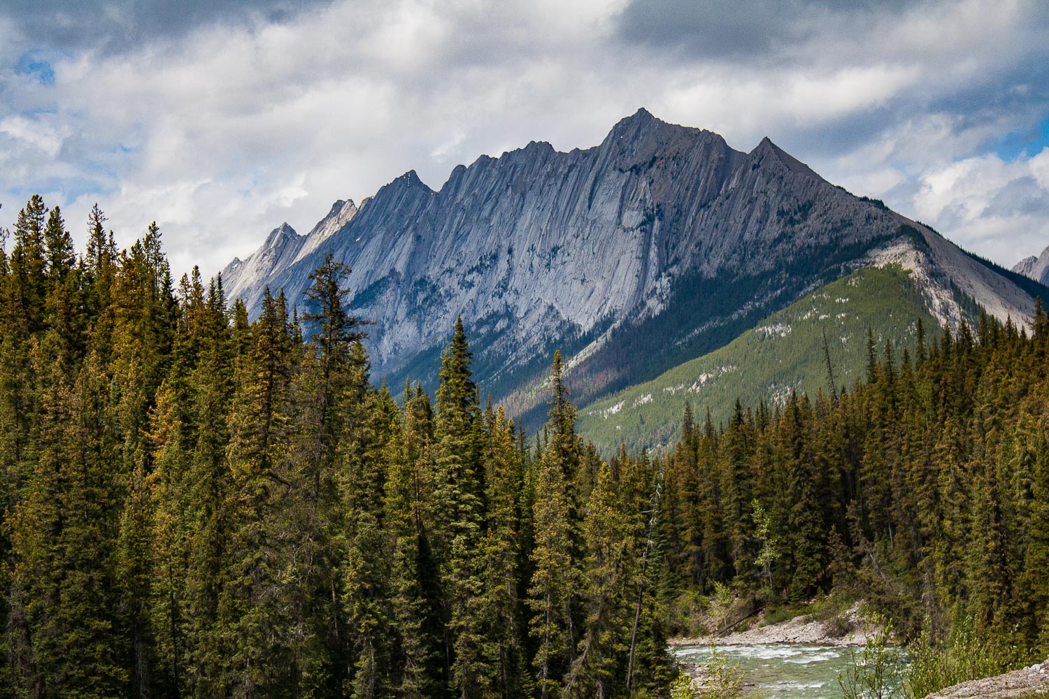
We were on the road before 8 am and I think we started to get tired by now. Day five, on our roadtrip. Last time we showered was at Liard Hotsprings, but that didn’t bother us as much as sitting still in a car. Luckily we were on our way to two incredible national parks in Canada, Jasper and Banff. Our drive was going to be short today (well, everything is relative right?), because we were finally gonna stretch our legs and conquer a mountain! After about 4 hrs of driving through a wide open landscape that slowly took us closer and closer to the mountains we were now entering Jasper National Park. As you enter Jasper the road immediately takes you into the mountains, and the views are just out of this world. I don’t know of any other place like Jasper and Banff. When you cross the Athabascan river, driving south on the Yellowhead Highway the views are just out of this world. I know I keep using the same adjectives, spectacular, incredible, out of this world, but if you have ever been here I am sure you would have a hard time not to overuse all of these describing words too.
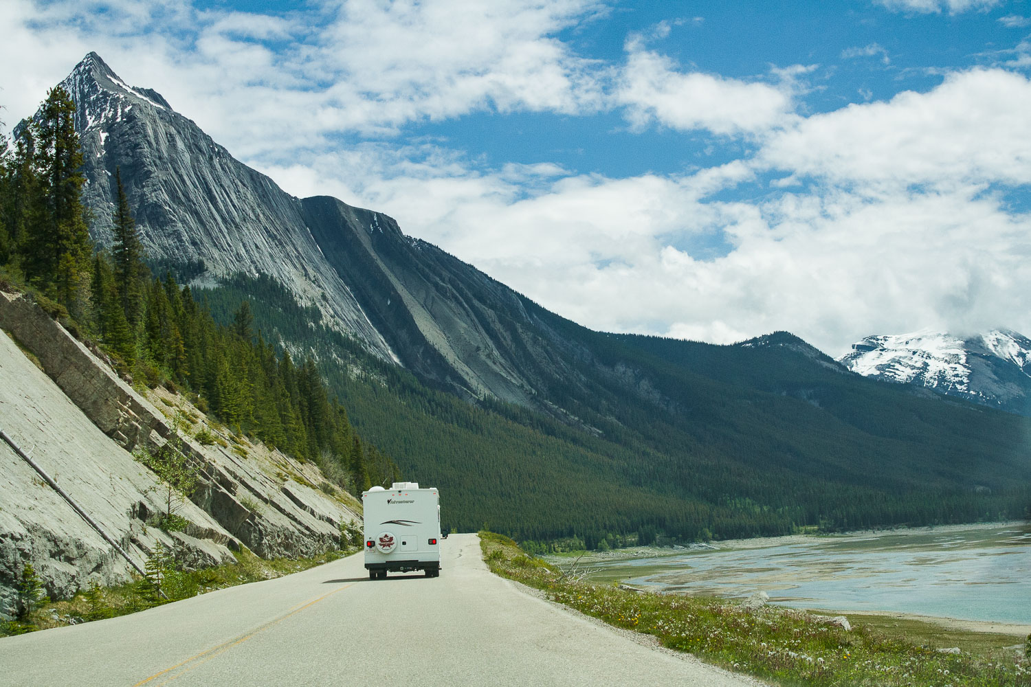
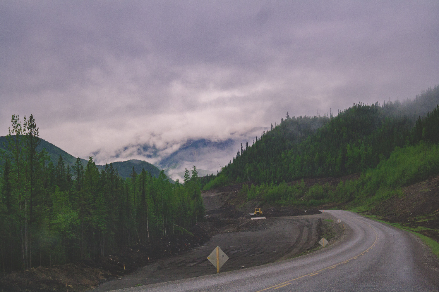
Driving through Maligne Canyon
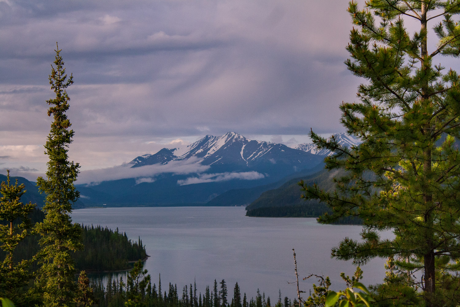
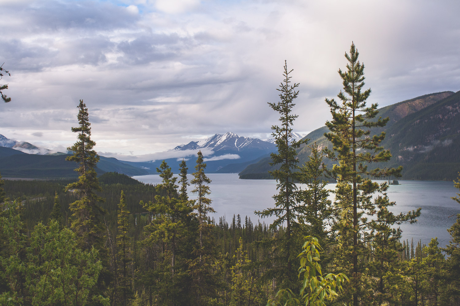
The views of deep forest, lakes and mountains could be seen in all four directions. It was hard to know where to look at times, and I wanted to stop at every pullout, which we of course did not do. We would probably still be there if I could have gotten it my way. But, we were finally going to hike, so I was super excited about that. We drove towards Maligne Lake because that is where the trail head to Bald Hills is located. We passed the Medicine Lake and drove along fire scarred forests and majestic mountains. Bald Hills summit is a 13.2 km out and back hike, that offers spectacular views. Again the weather was sunny now, but there were clouds on the horizon. I really do not know how we always manage to pick a hike where we see absolutely no other people.
Bald Hills Summit Trail
This trail first takes you through the deep forest, crossing streams and slowly going up in elevation. When you are so far up in elevation that mountains and lakes start appear through the gaps between the large trees that surrounds you. Eventually you break out from the forest and step out into the alpine vegetation, because now you are more than 2,000 meters above sea level.
Up above the treeline
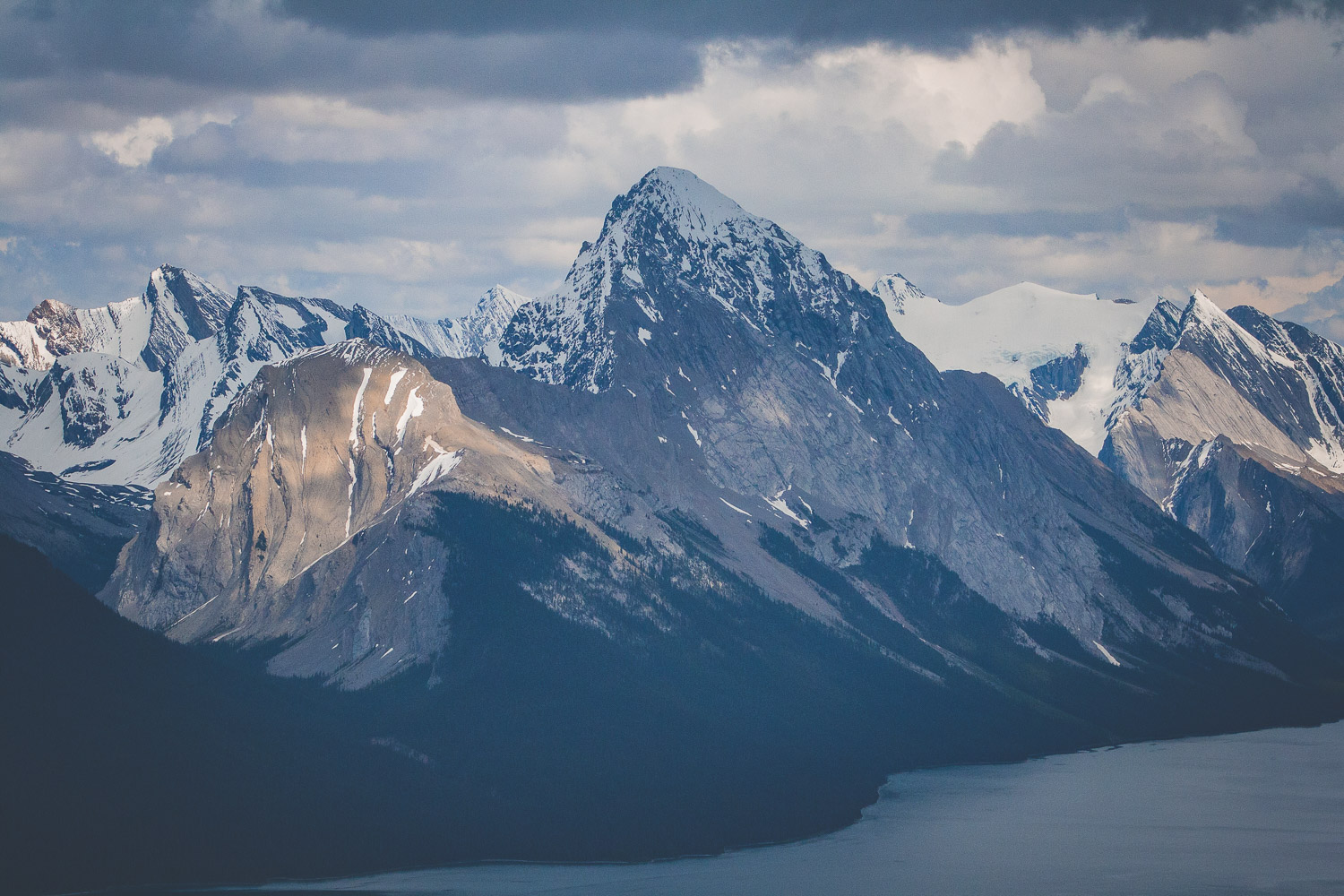
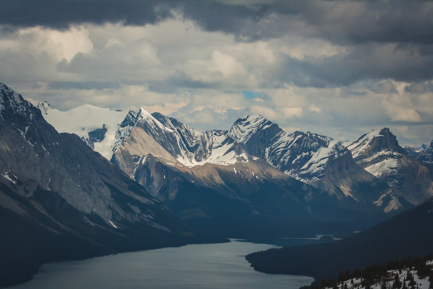
Eventually we broke through the treeline and ended up in a field of snow. It was indeed late May, which in the mountains still mean snow. And the mountains, those mountains wherever you turned your eyes. The last part of the trail is fairly steep, and we were walking through some very deep snow. From the top of the Bald Hills summit you have 360 degree panorama views of the Canadian Rocky Mountains. From the top you can also see Maligne lake, the lake we could spot through the trees earlier. Of course with the rain constantly haunting us we managed to see a wonderful full rainbow over the mountains.
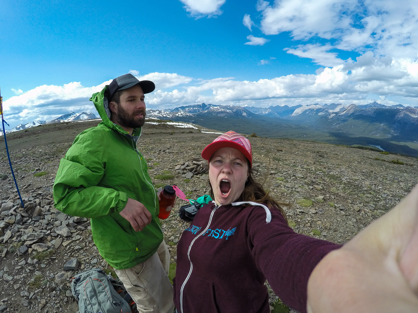
Of course we had to take a few selfies in the mountains too! On the way down we played around in the snow a bit until we reach the trees and the forest again. We had such a good luck with the weather, but as always the dark clouds were coming towards us, and we got in a hurry to get off the mountains before the rain came.
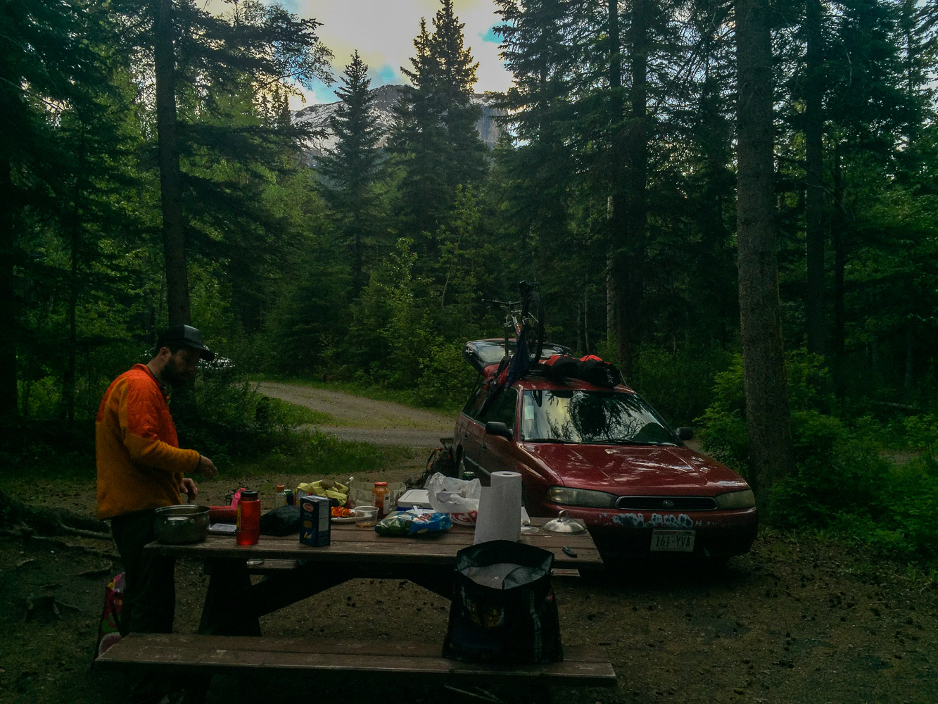
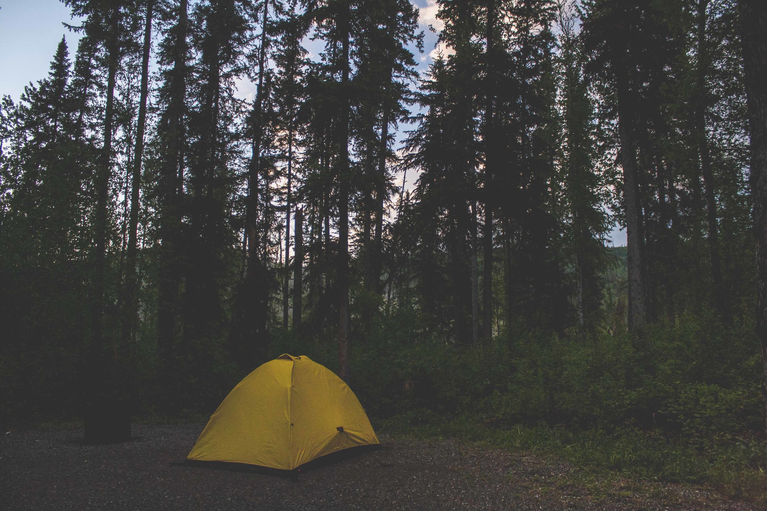
When we were done with the hike we went and got a camping spot. We didn’t want to drive too far after the hike so we had picked out a campground fairly close to the hiking trail, Pocahontas Campground. We had been worried about finding a spot, since it seemed like there were so many tourists around, well on the road, and not on the hike of course. But when we finally got to the campground, it was completely empty, of course. I immediately realized that we had reach civilization when I saw the soda vending machine by the bathrooms at the campground.
Day 5 trip Details - Gas, Camping, and gas mileage:
Canada: Shell Canada Grande Praire AB. 18.5 miles from Saskatoon Island Provincial Park. Mileage 25 miles/gallon
Canada: Petro Canada Jasper AB. 250.8. Mileage 24.49 miles/gallon
Total driving on day 5, about 269.3+ 29.9 miles from gas station to Pocahontas Campground (299.2).
The grand total of the whole trip: 1702.3 miles
Campground: Pocahontas Campground, AB


