

We had just managed to snag the last available campsite outside Gardiner and went to bed under a clear sky in the Rocky Mountains. The next morning I woke up by a strange noise, something was eating outside the tent, and it brought back memories from a different morning in Alaska when the same thing had happened. As I opened up the tent I was greeted by a bunch of elk. The following years I learned that this area, just up the hill from Gardiner is a prime spot for elk. Other than the noise from the elk it was very quiet around camp. People had been up partying into the wee hours last night, but we had major plans this morning and went to bed early. I was as excited I could possible be as I glanced over Yellowstone National Park while I had my coffee. I could not believe that I finally would get to hike in the mountains in Yellowstone. We were going to have a long day ahead of us, but first we had to get to the park and reserve a backcountry camping spot! These are first come first serve so we didn’t want to risk loosing our plan.
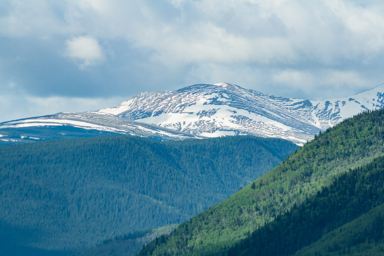
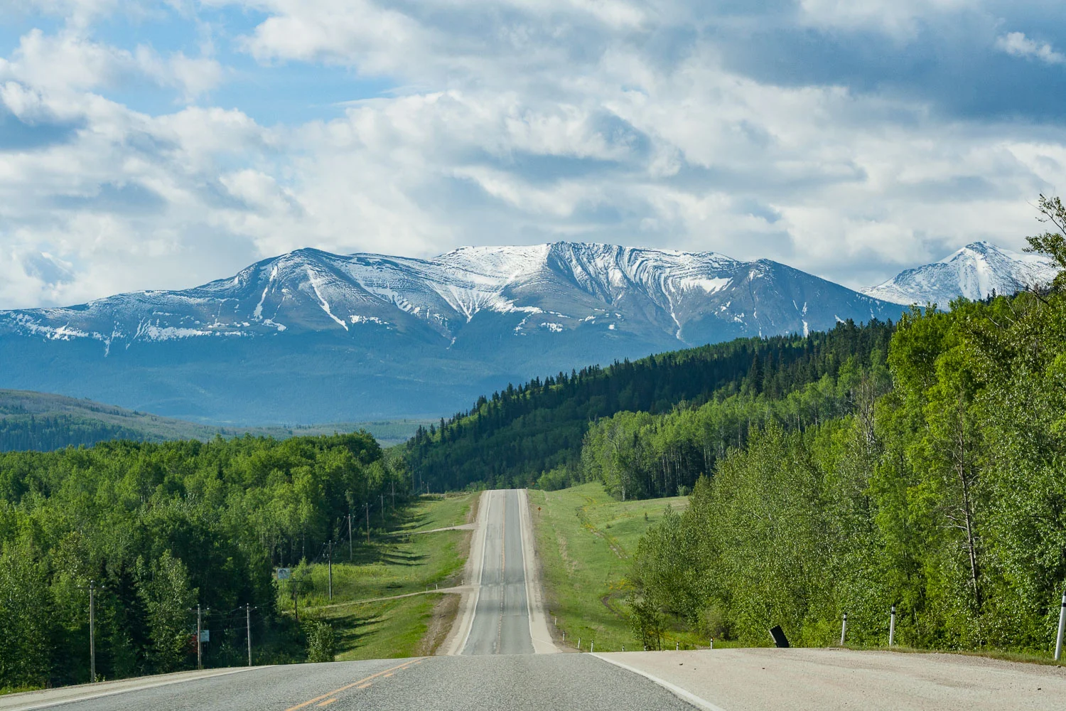
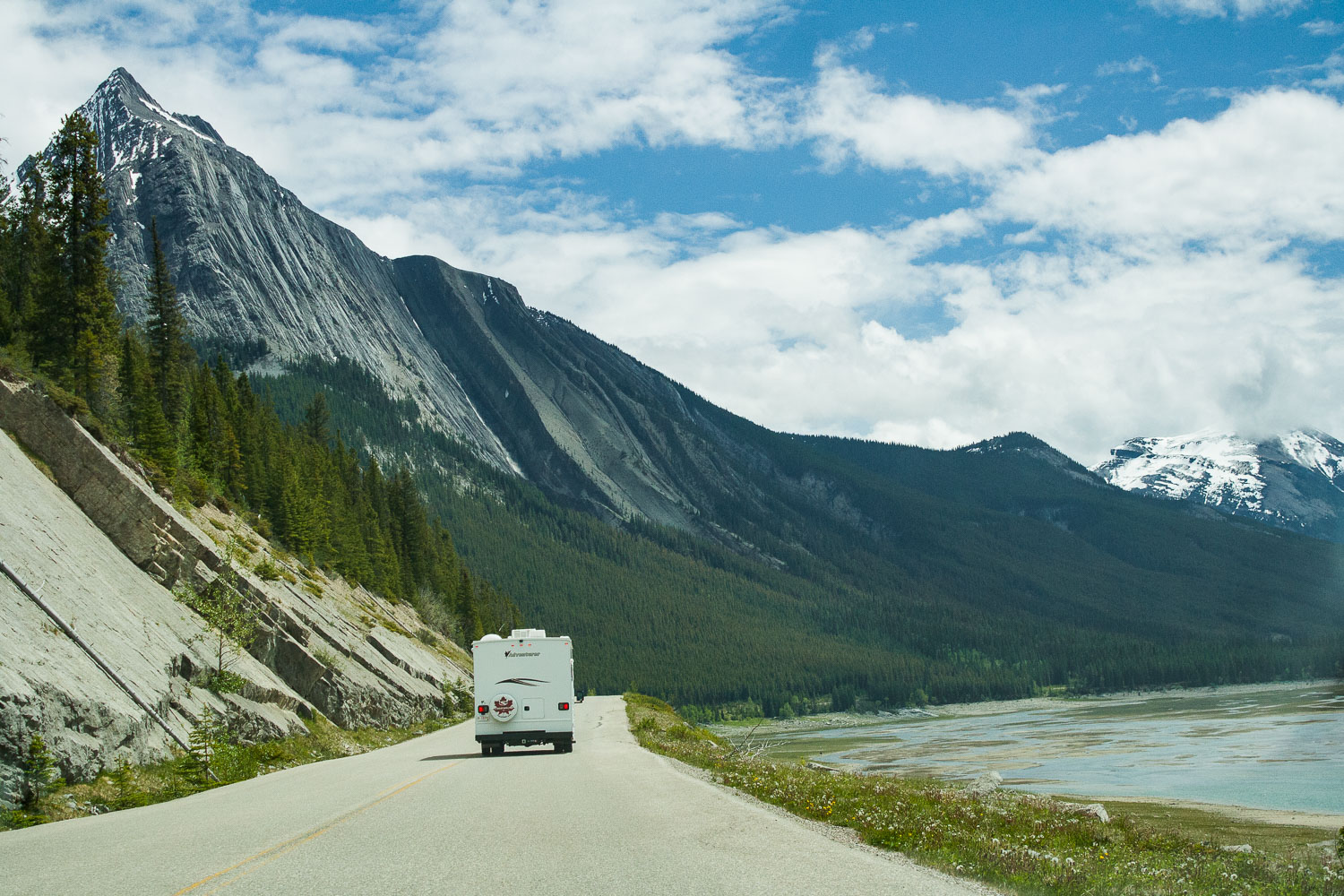
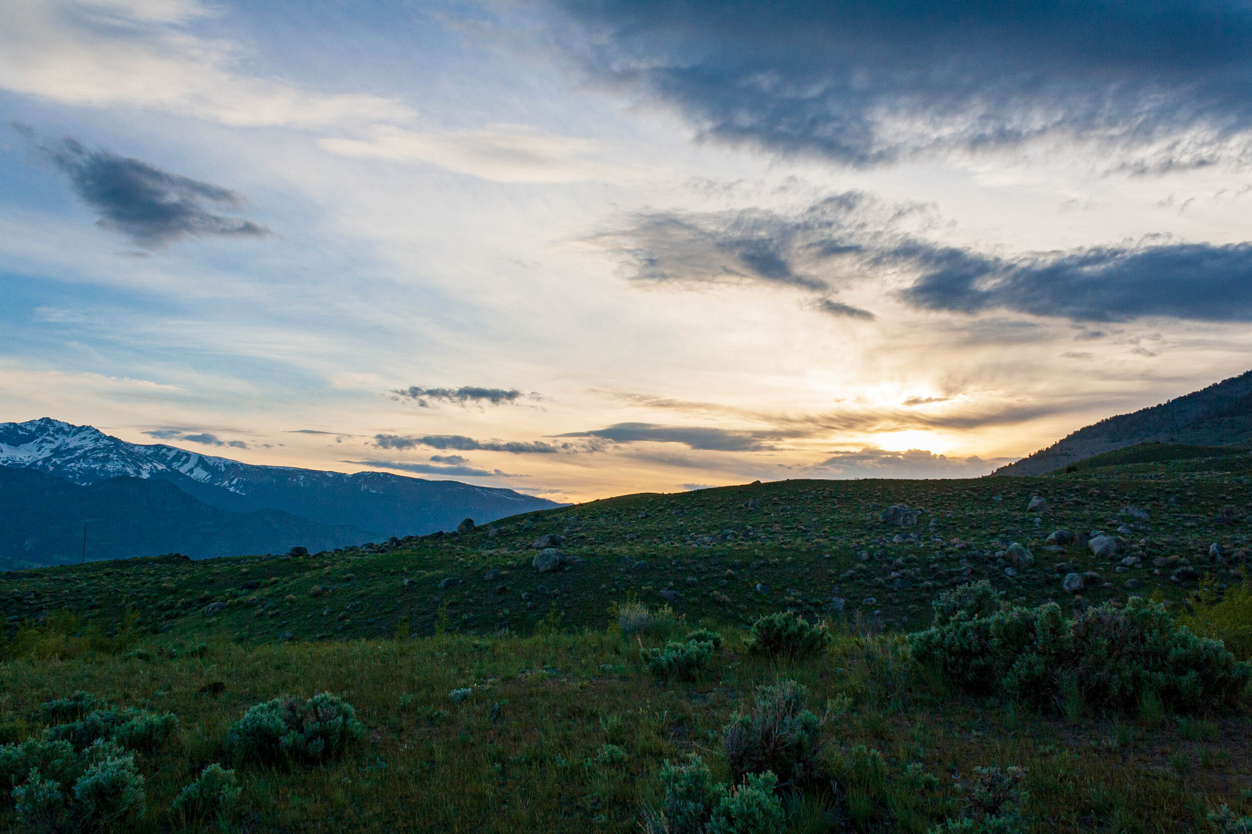
Up until this trip I’d only seen Yellowstone in a blanket of deep snow so I was stoked to finally get to see this beauty dressed in green. It was late May and even though spring is on the way in many places in the US at this point it can be slower here because of the high elevation.


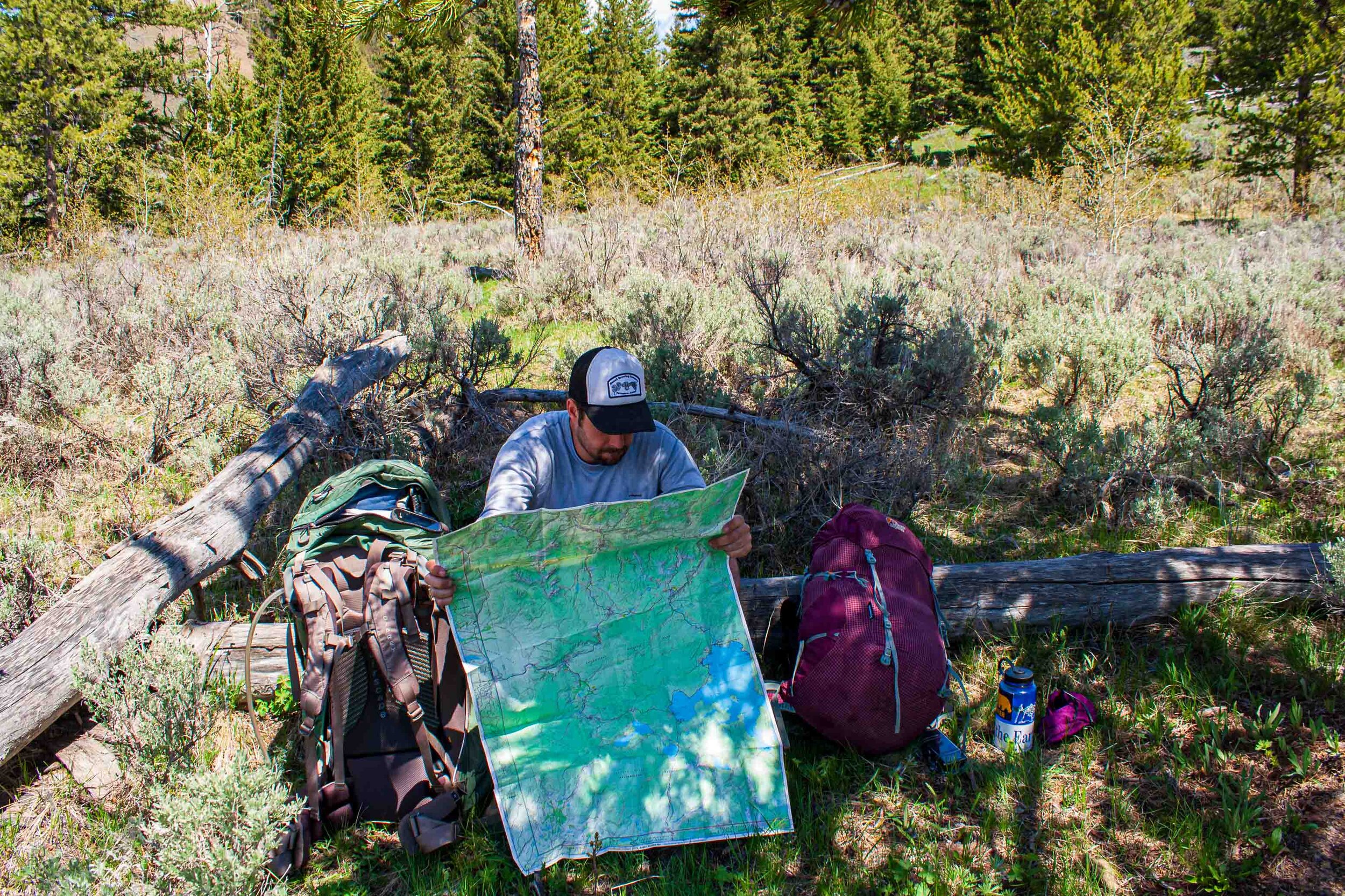
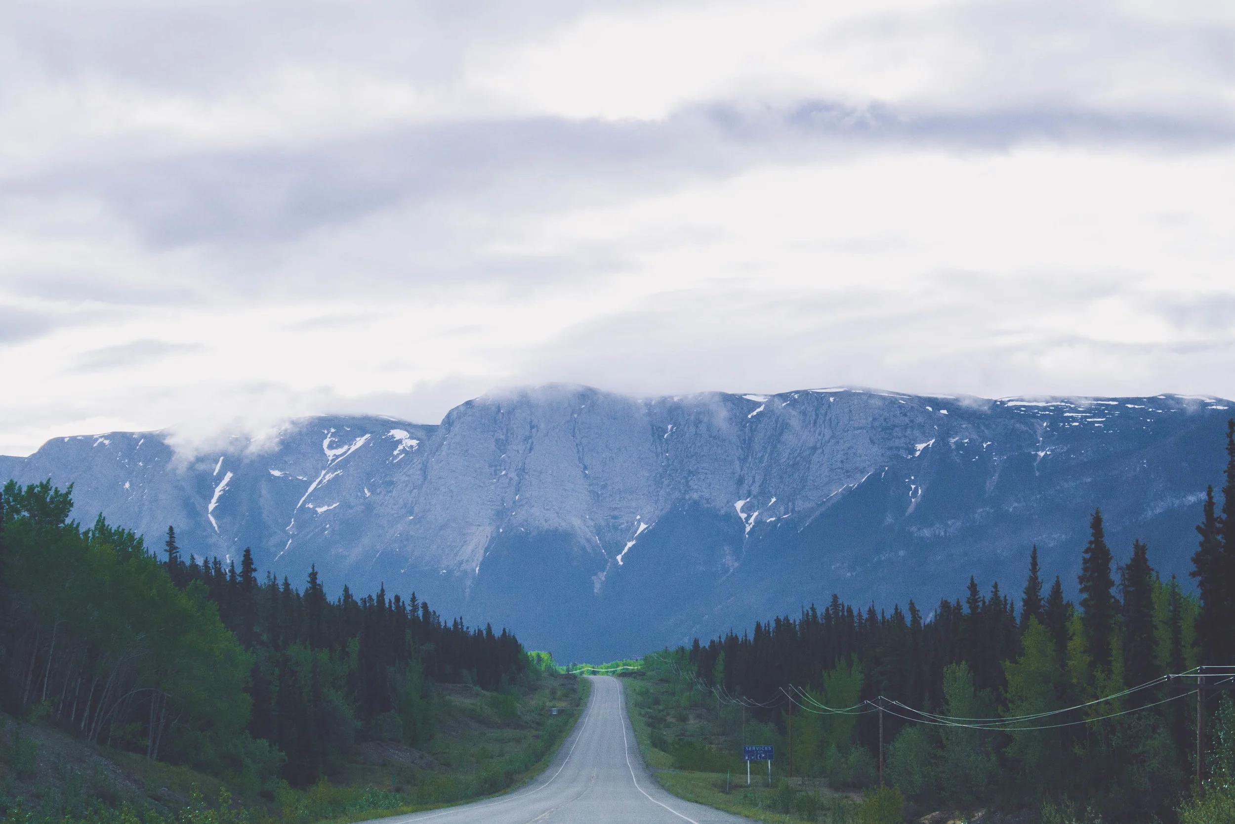
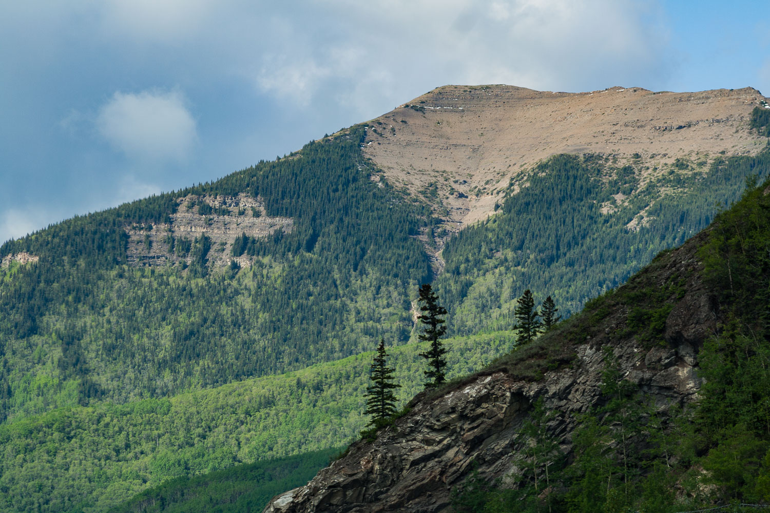
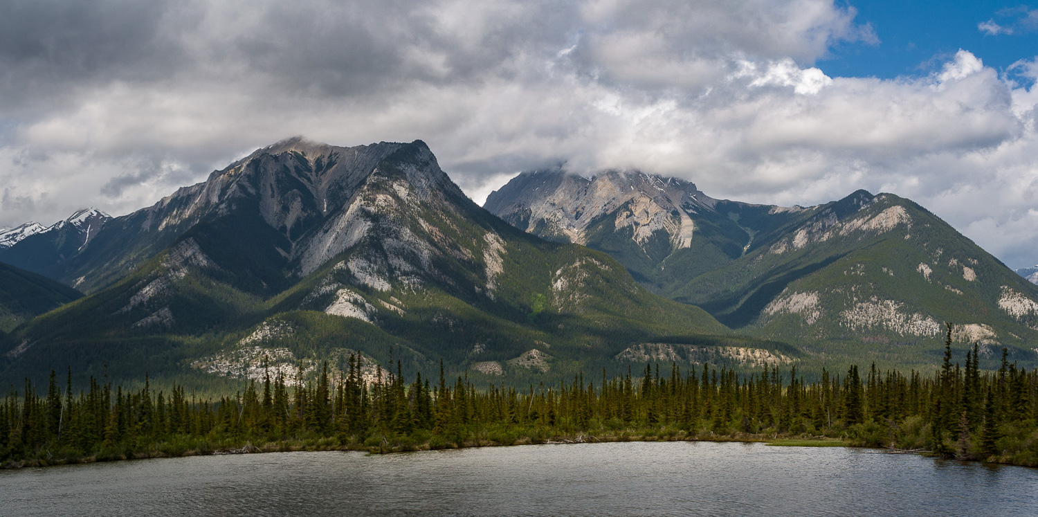
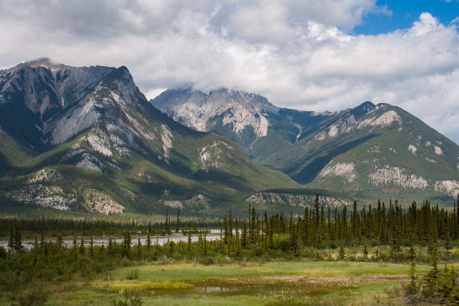
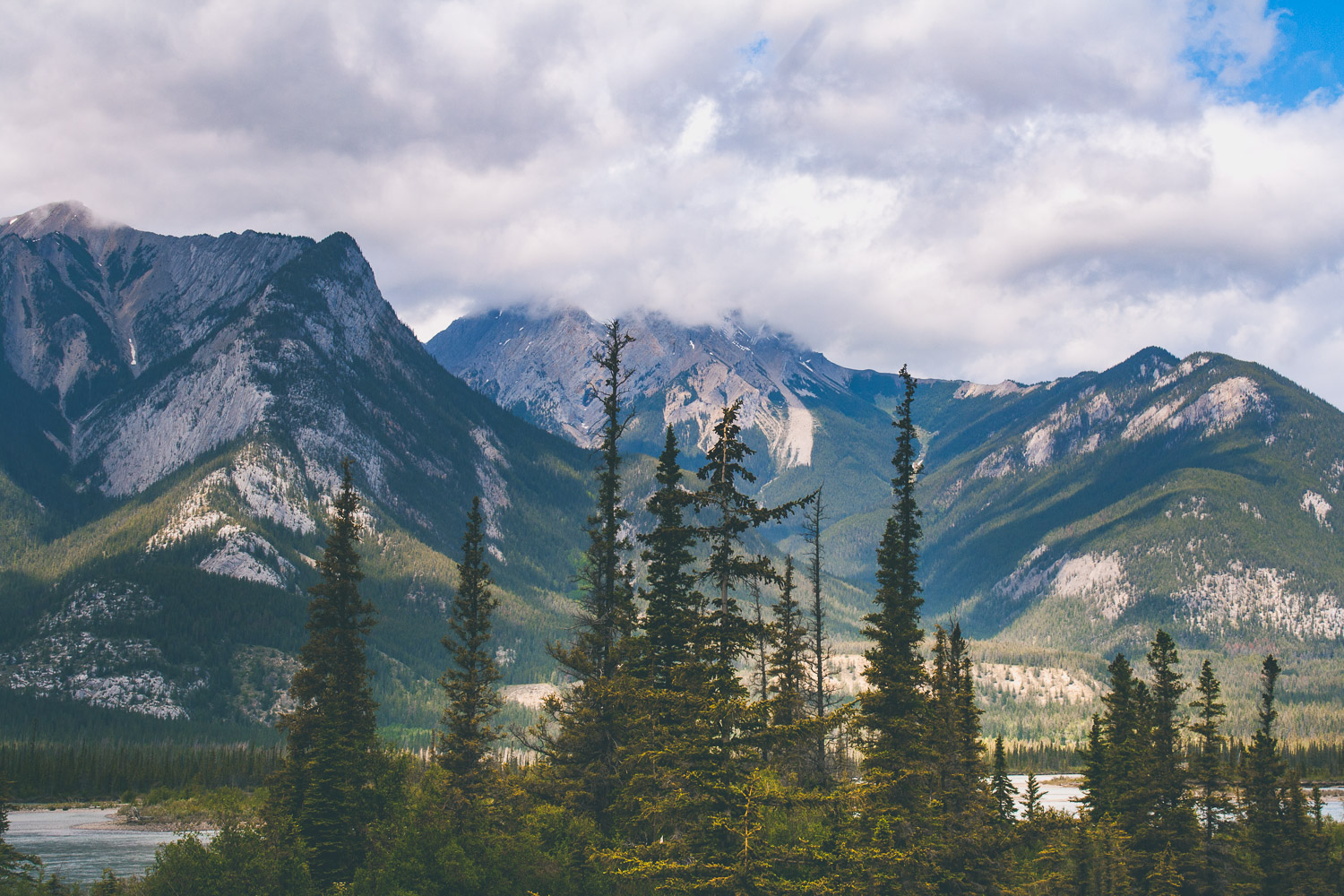
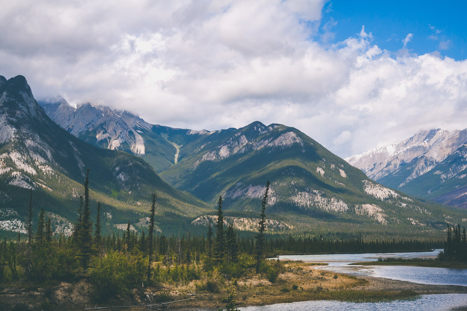
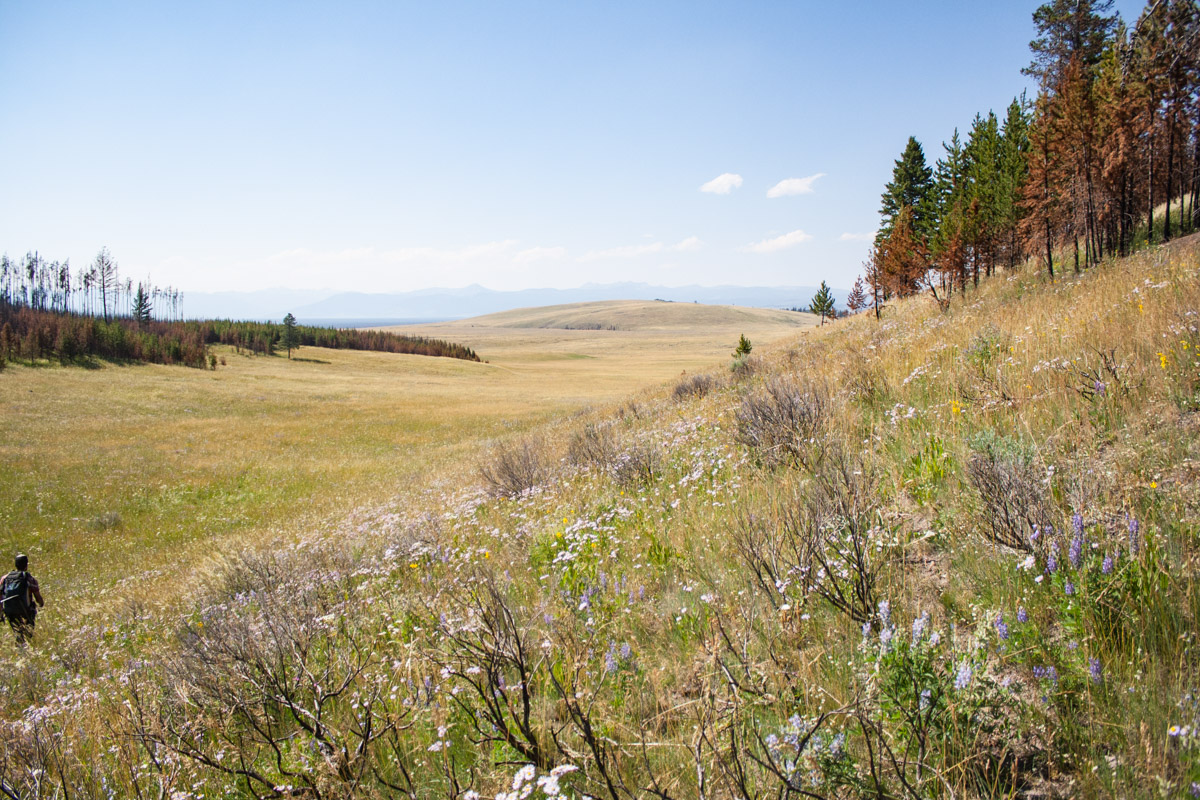
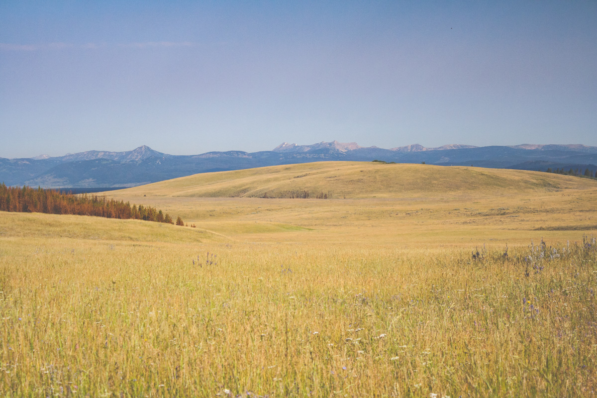
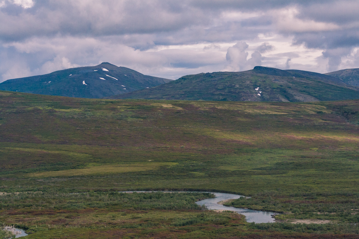
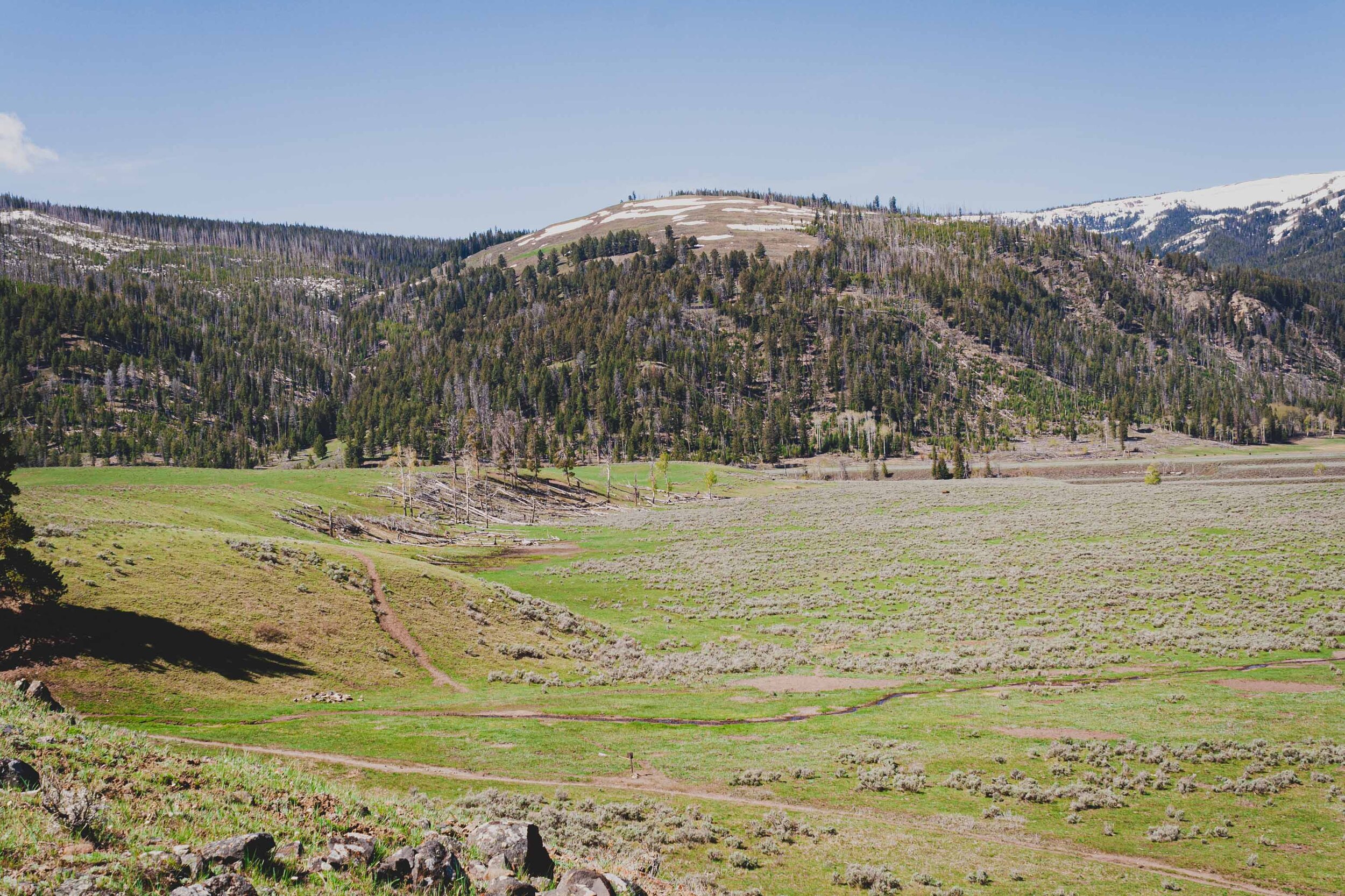
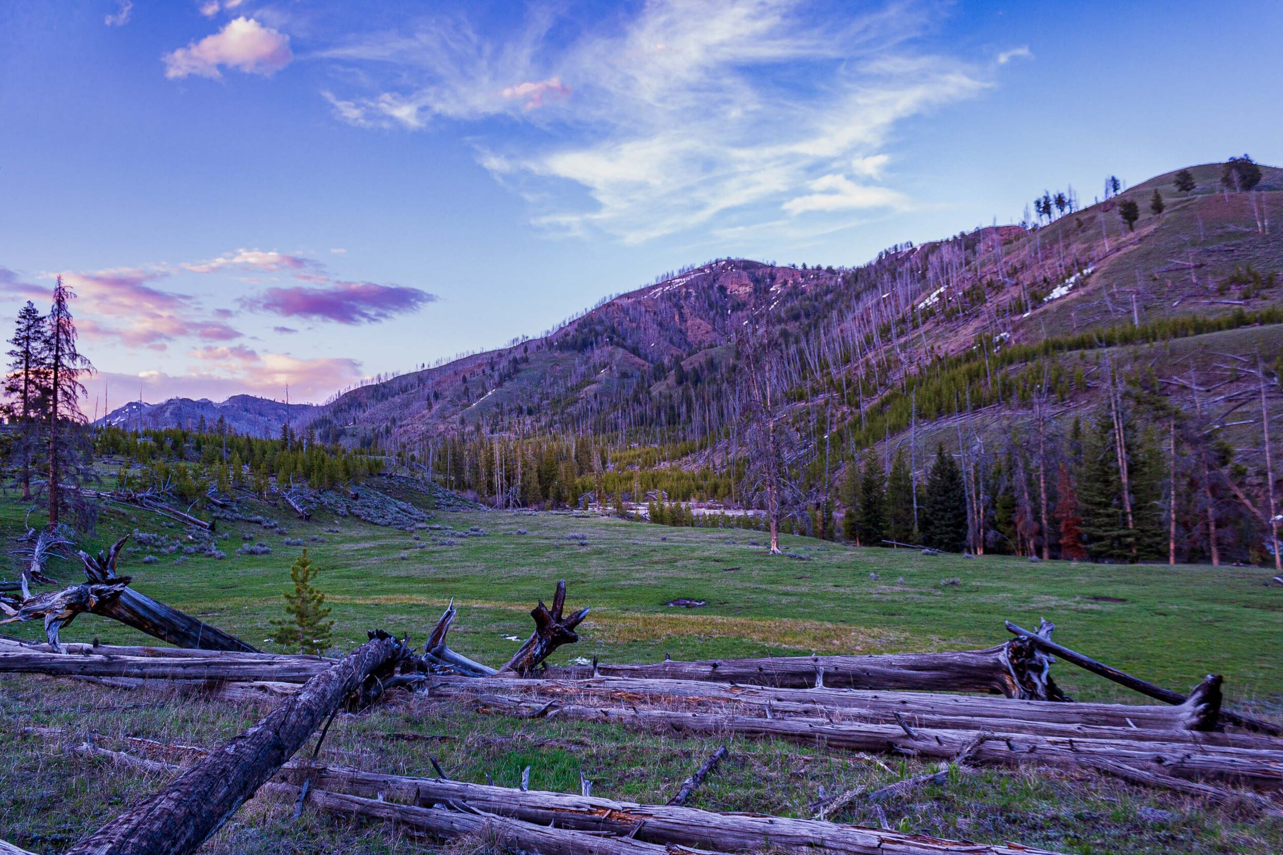
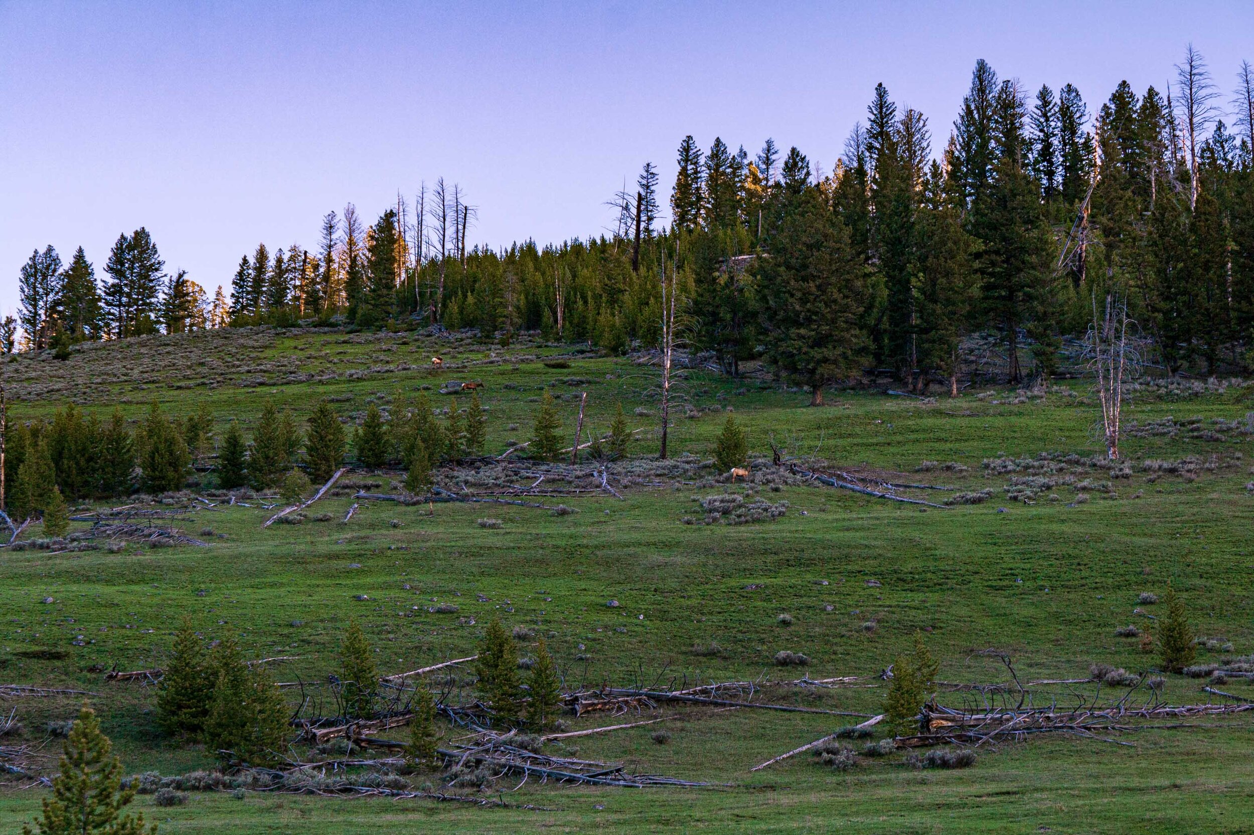
We’d been checking a couple of different short routes we could do, but after having to remove our top choice due to a late spring and too much water (that hike had a stream crossing without a bridge) we dialed in on a fairly decent hike into the Lamar Valley. If you’ve followed my blog for a while you have probably seen Lamar Valley, a huge valley blanketed in snow in the wintertime where you can spot wolf and bison. There are plenty of bison in this area in the summertime too, something we would soon find out.


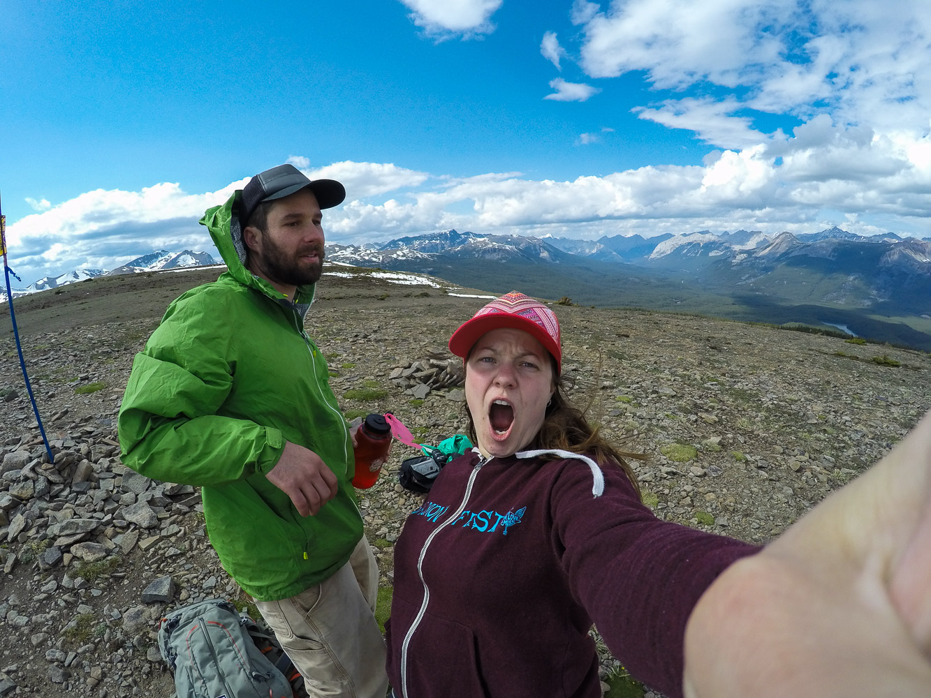
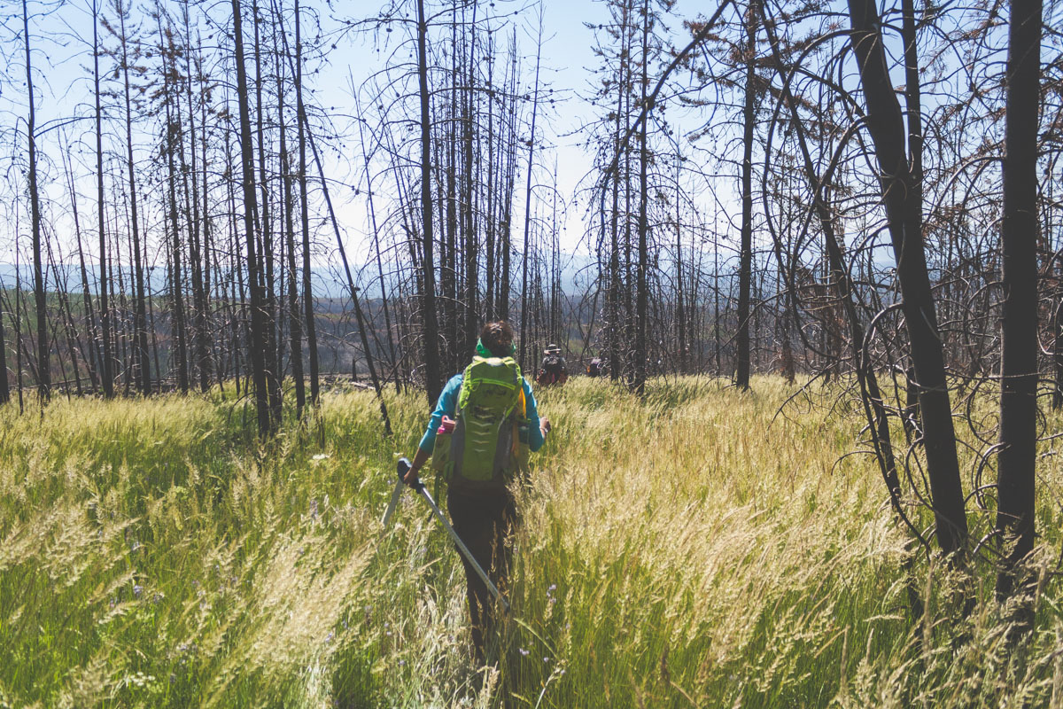
I usually don’t take as many pictures during the actual hike, it would take forever to reach our main destination if I did. And especially when we are hiking in a new area you never quite know how long it will take. Sometimes I wish we had more time to stop and take more photos. This time i managed to take a couple of photos right before our bison incident…


W basically grew up with Yellowstone in his backyard and both of us had been living in Alaska for a few years when we embarked on this hike. In the deep forests of Montana and Alaska you are taught to make noise and spaek loudly, so that you do not accidentally surprise a bear. So we did what we have always done, talking loudly, clapping our hands until we rounded this tiny little hill and were greeted by a loud humpf. Before we knew it a huge bison that had been laying down, resting, turned his head towards us started to get up. We slowly walked away but somehow we were now inside a whole herd of bison. I don’t know how we managed to get into this situation. But, to clarify, we felt as if we were inside a herd of bison, but herds a very spread out. We were definitely too close to be comfortable. I closed my eyes and wished that I could stick my head in the ground. In the same manner as we somehow had gotten us into this situation we managed to get out of it. I always view bison as somewhat stupid creatures, that in combination with the fact that they are very large makes them extremely dangerous.


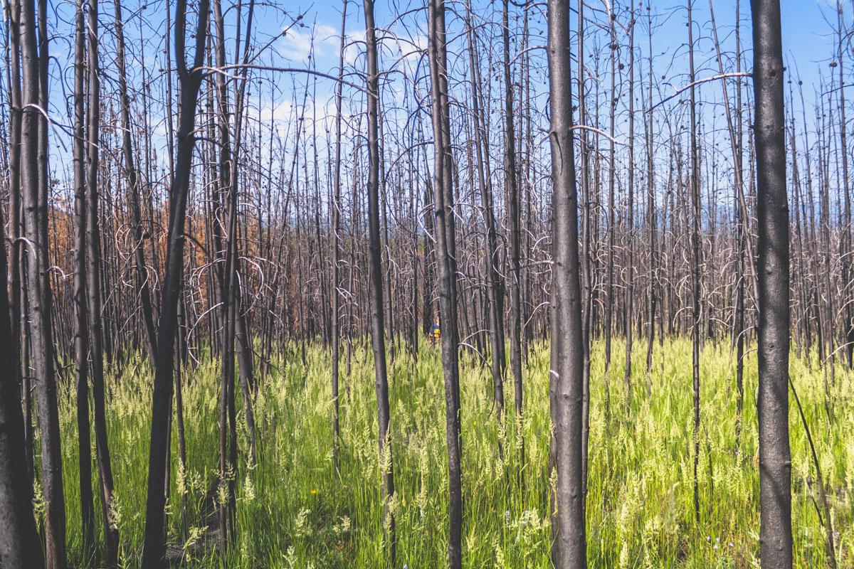
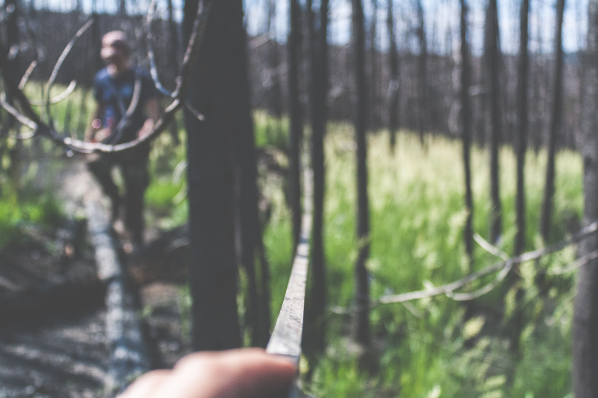
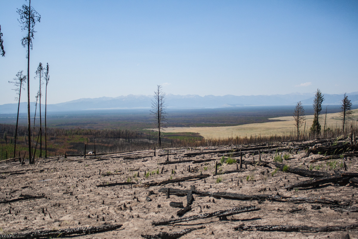
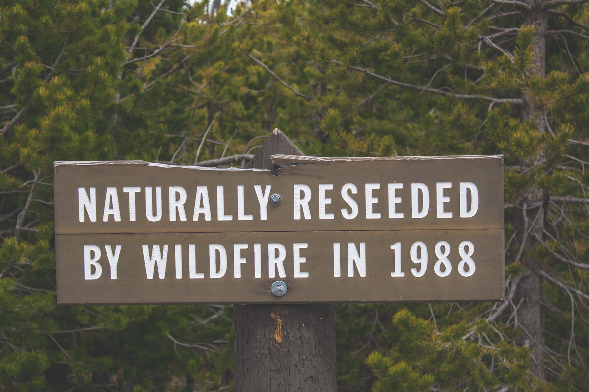
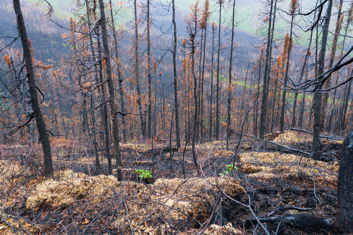
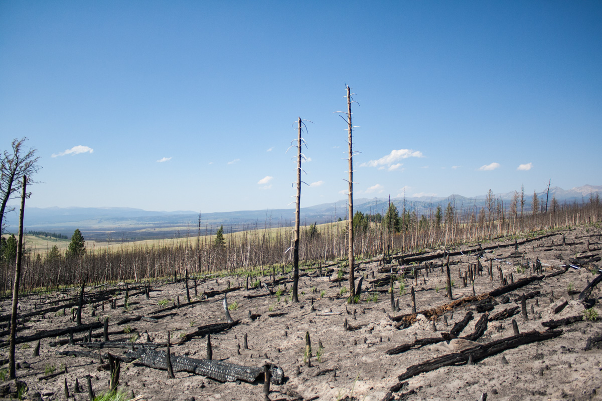
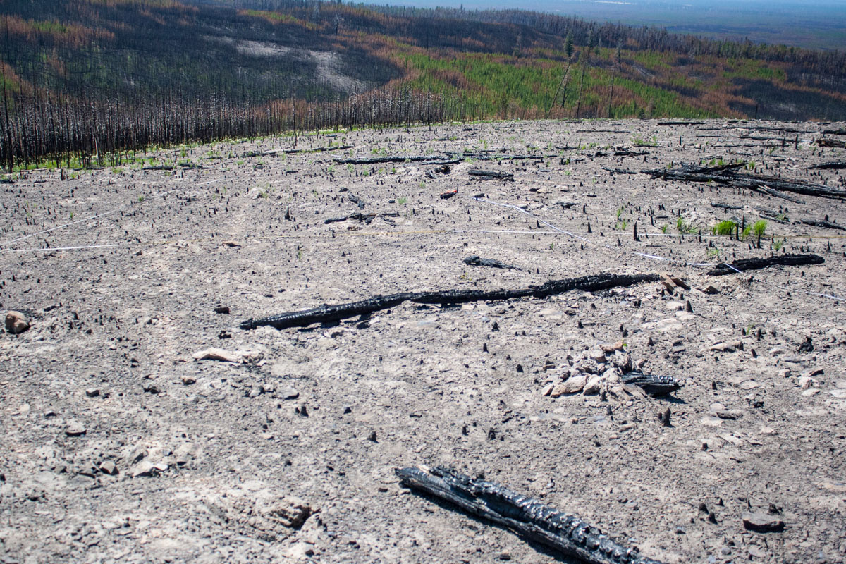
We continued our hike, walking through the valley and previously burned forest. We met a couple of other hikers and they had just been to the campspot we were going to. They told us, just like the previous group had told them, that a large grizzly walks by the camp up on the hill at about 5pm every night.

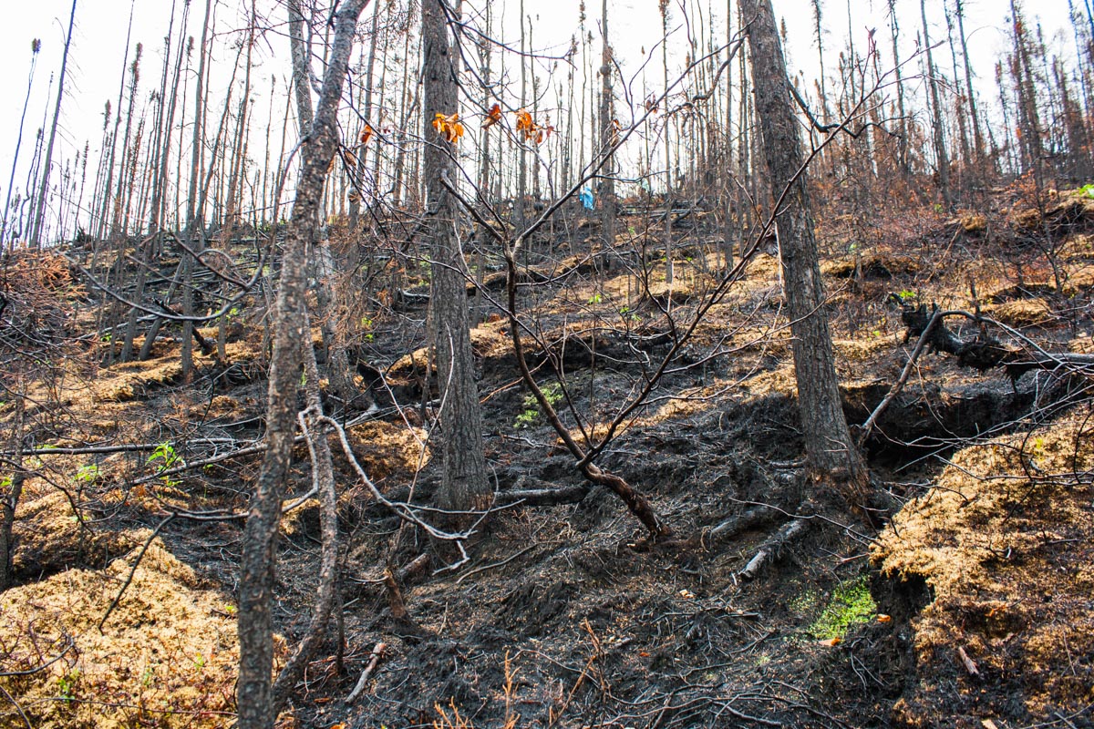
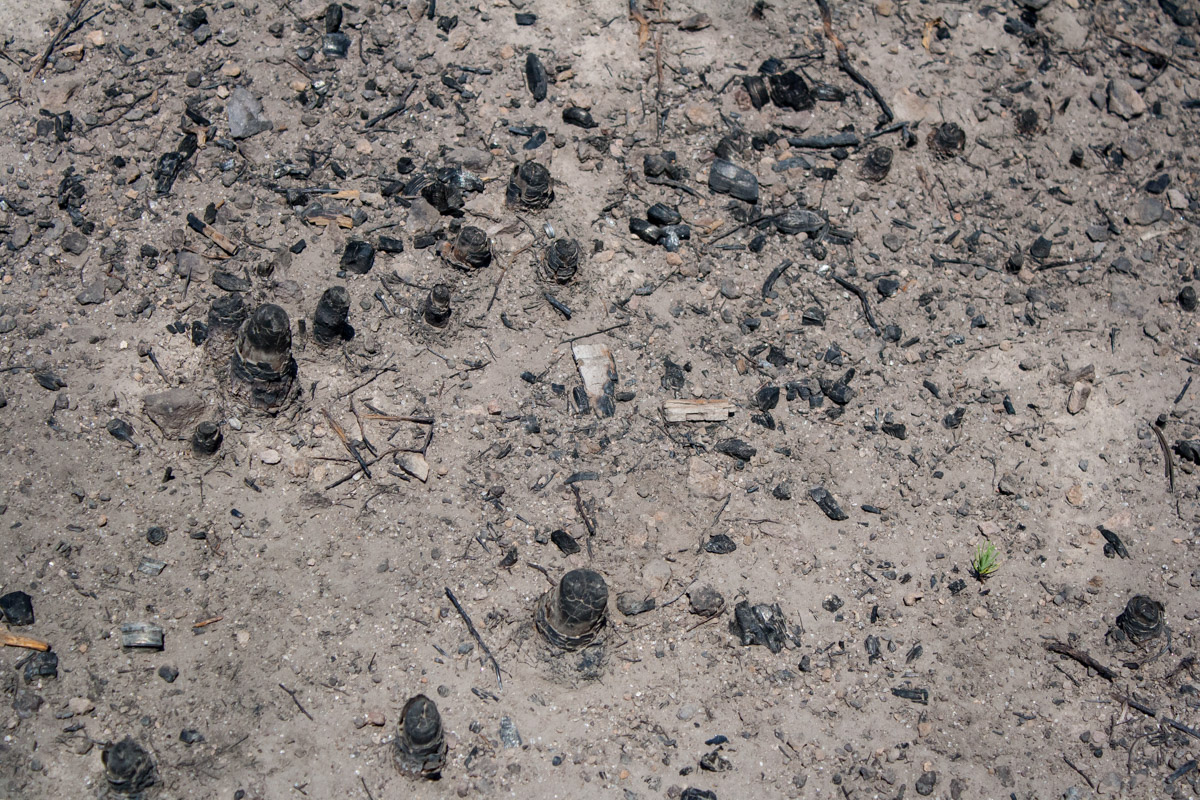
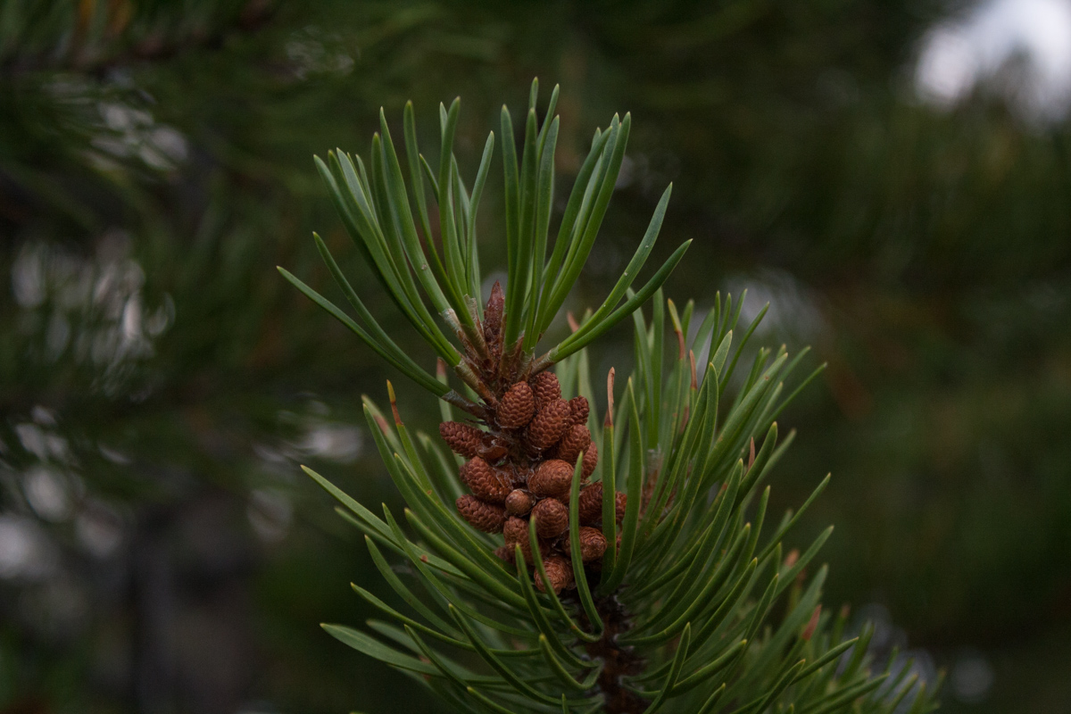
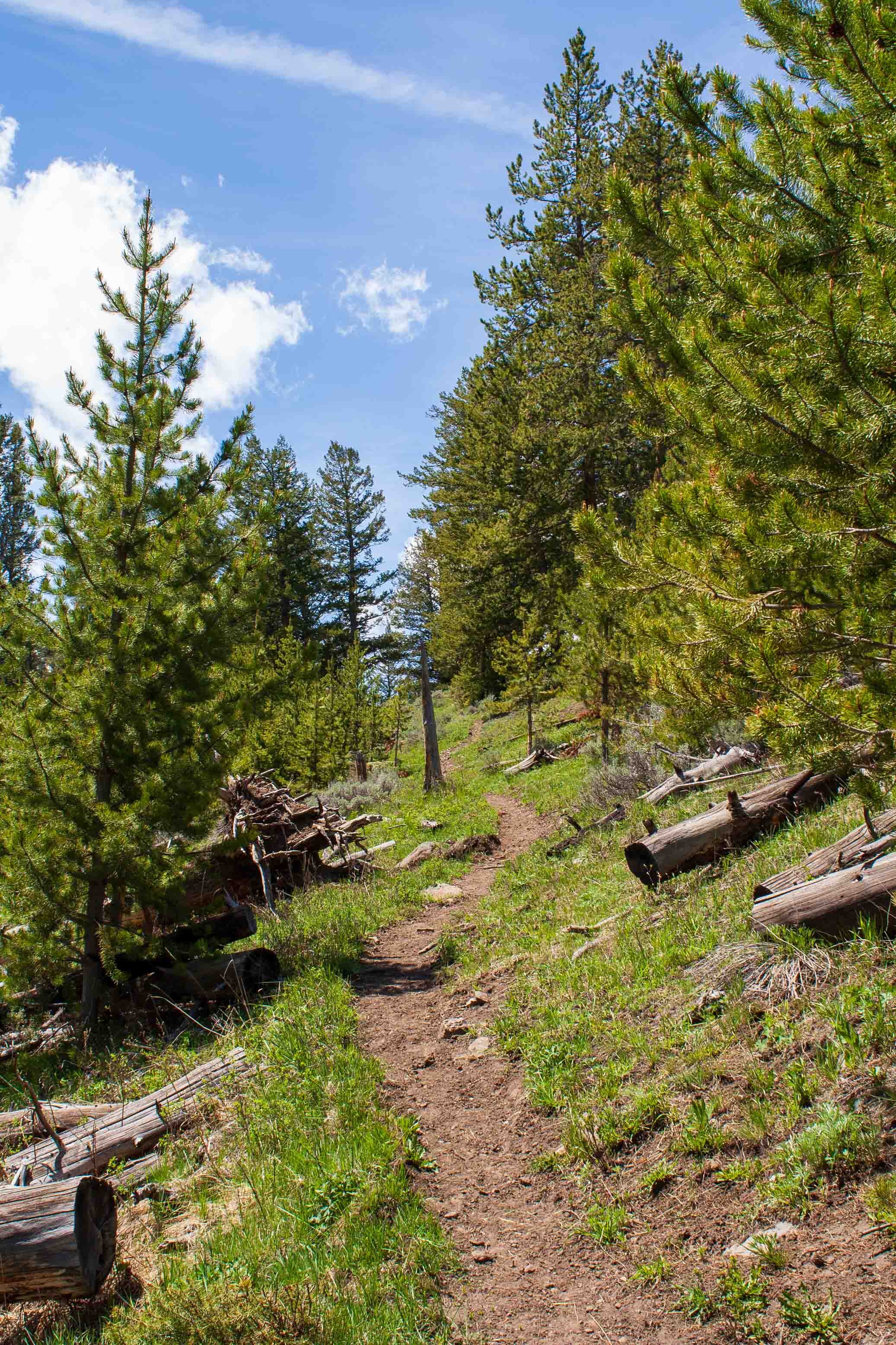
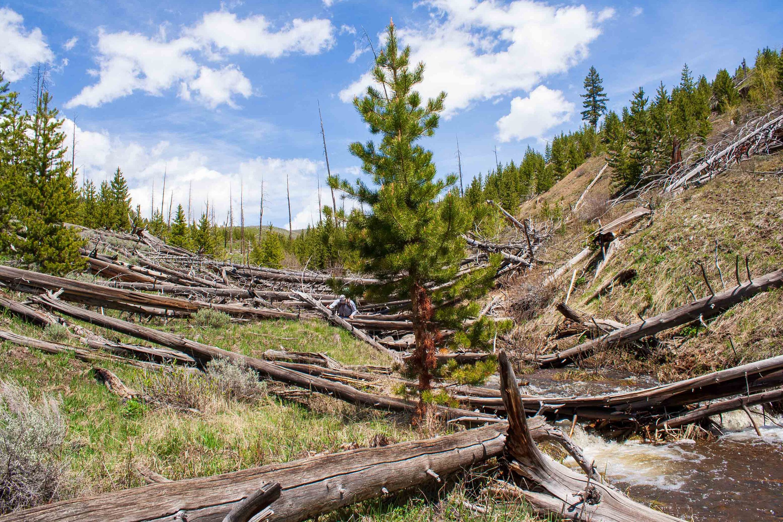
We continued walking, through brush and over logs. We took a lunchbreak in the shadow of an old Lodgepole Pine. We checked the map again to see how much farther we had to walk. We checked the GPS and realized we had already passed the campsite and could not understand how that was even possible. We started walking back, probably for a good 30 minutes until both of us were doubting what we had seen on the GPS. It turned out that there was an older campsite on the map in the GPS. We realized that once we took up the paper map and crossed checked. So we started walking back, into the valley again, walking the same path for the third time this day. During this time we also started seeing some lone bisons along the trail. Some of them were hanging out in the forest. I had up until now only viewed bison as creatures that love hanging out in large open spaces, but apparently that is not true. So now we had to be on our toes about bison in the forest too. We crossed small creeks and stepped over large boulders and logs. In some areas the logs looked like pickup sticks, very large pickup sticks.

““A few minutes later W whispers
-There it is, there’s the bear “”
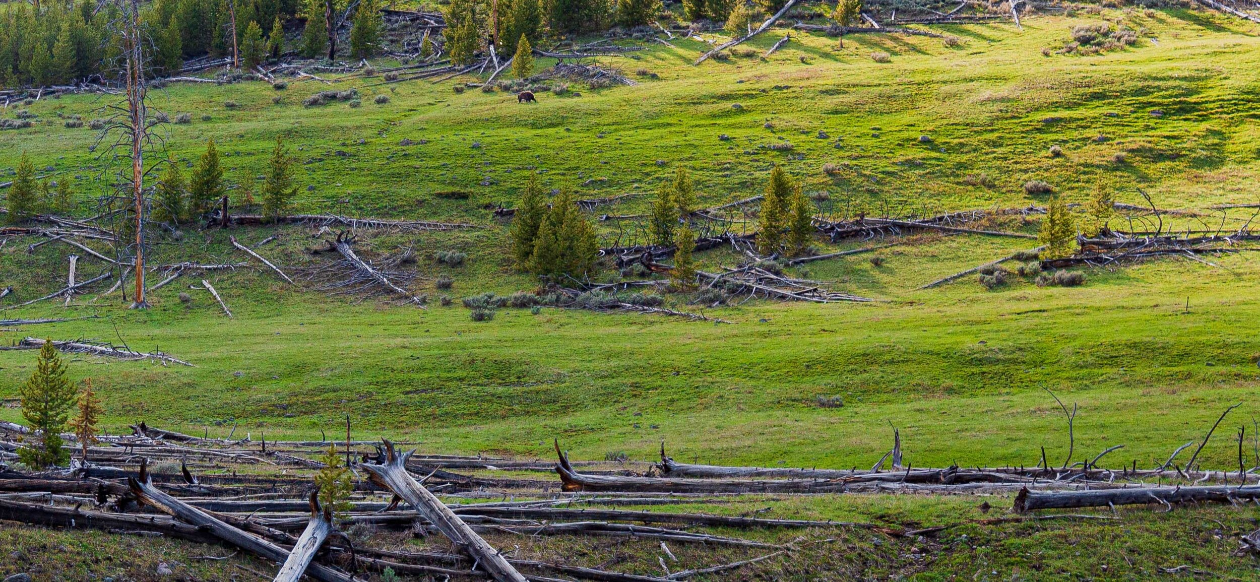
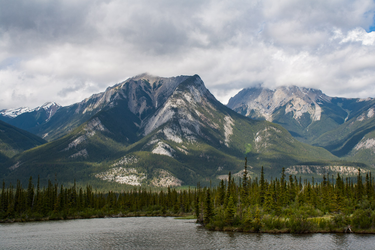
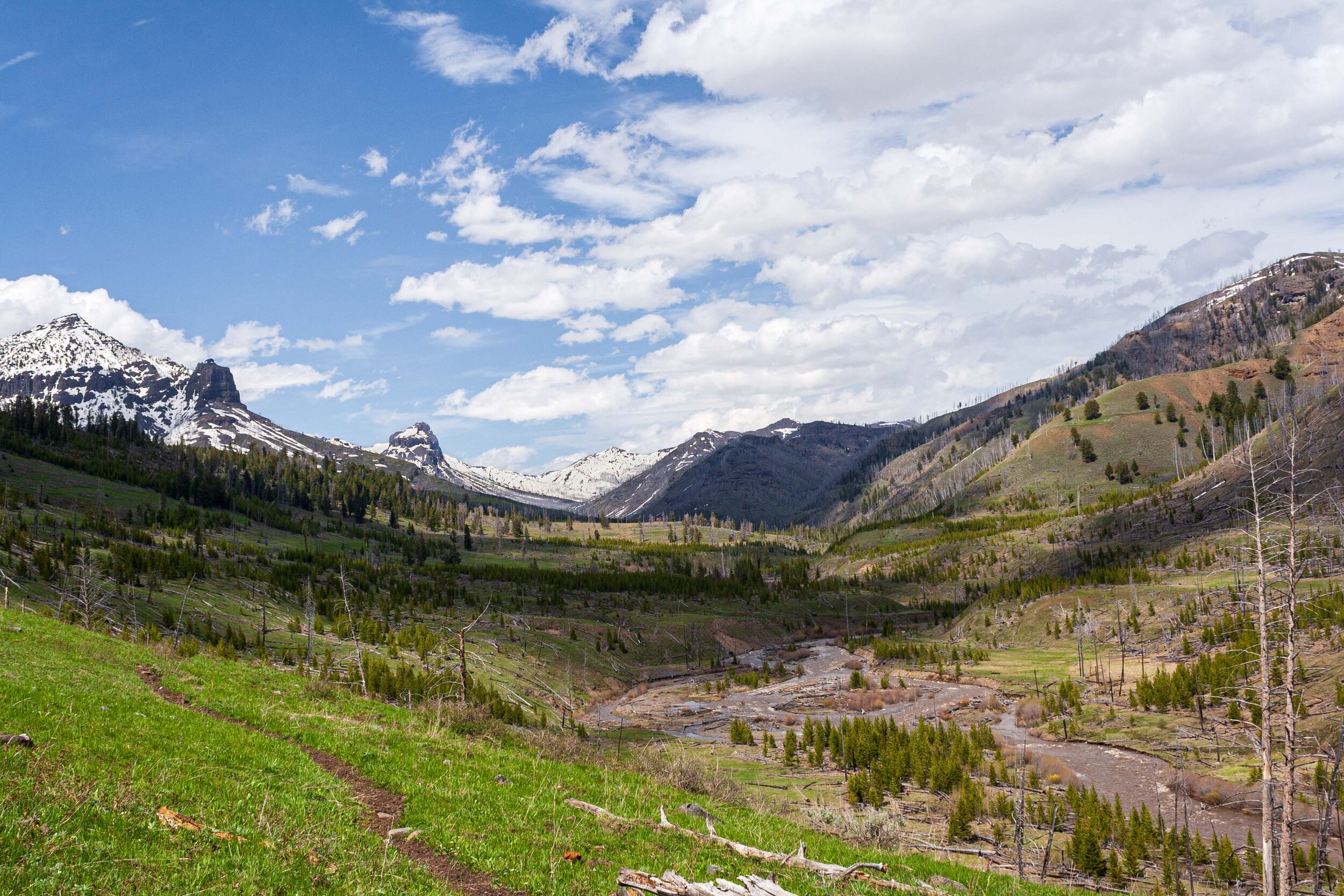
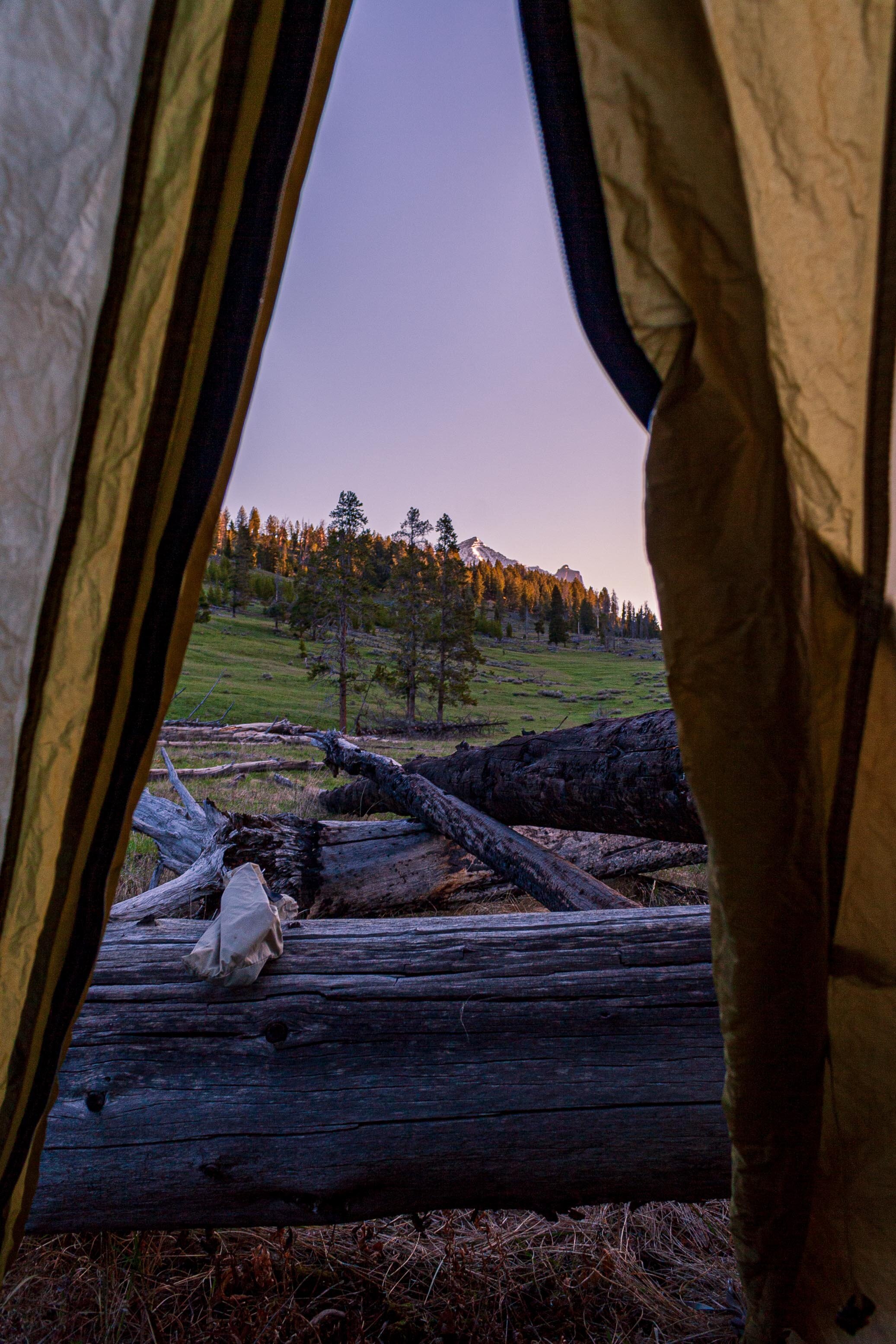
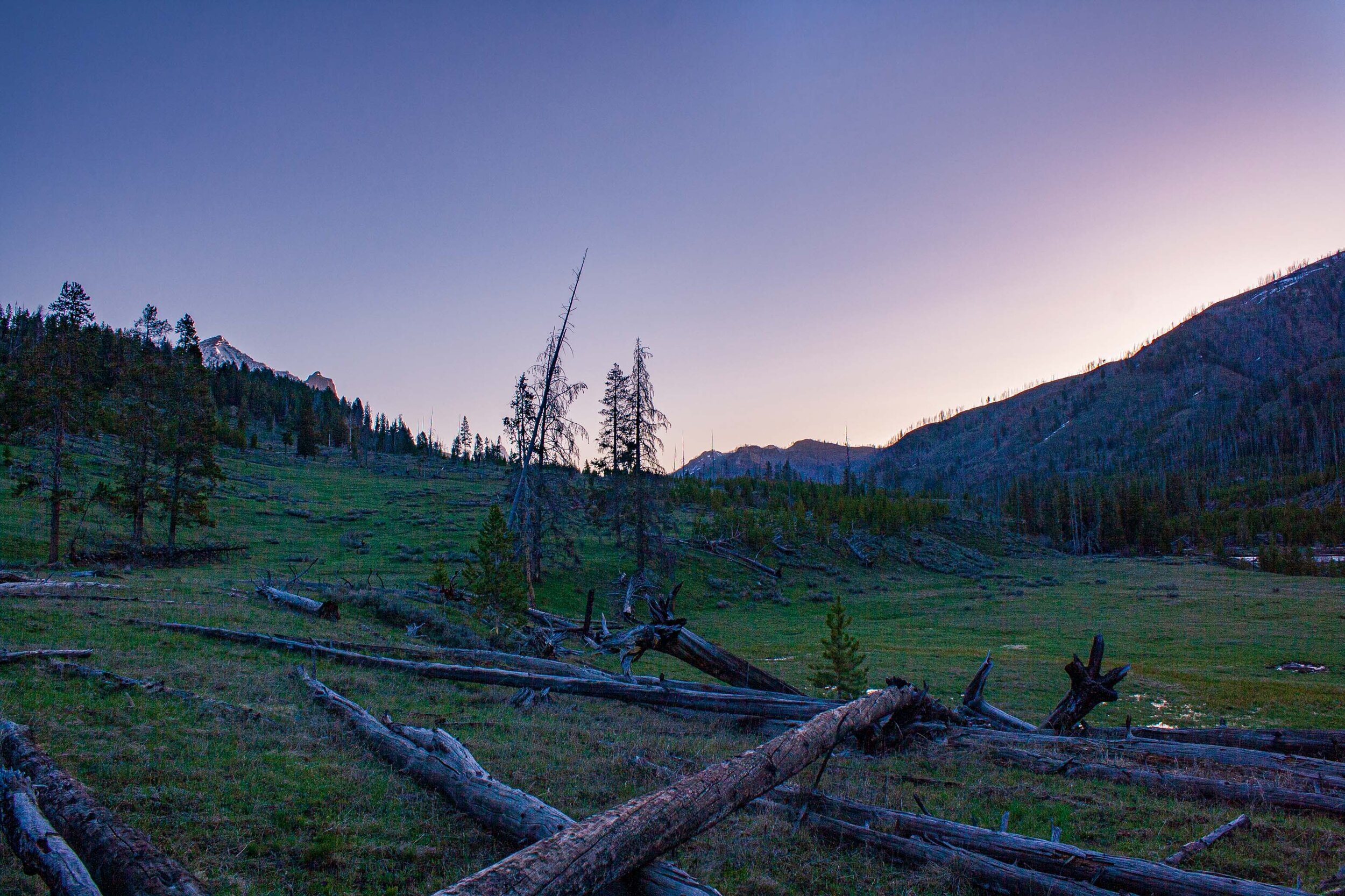
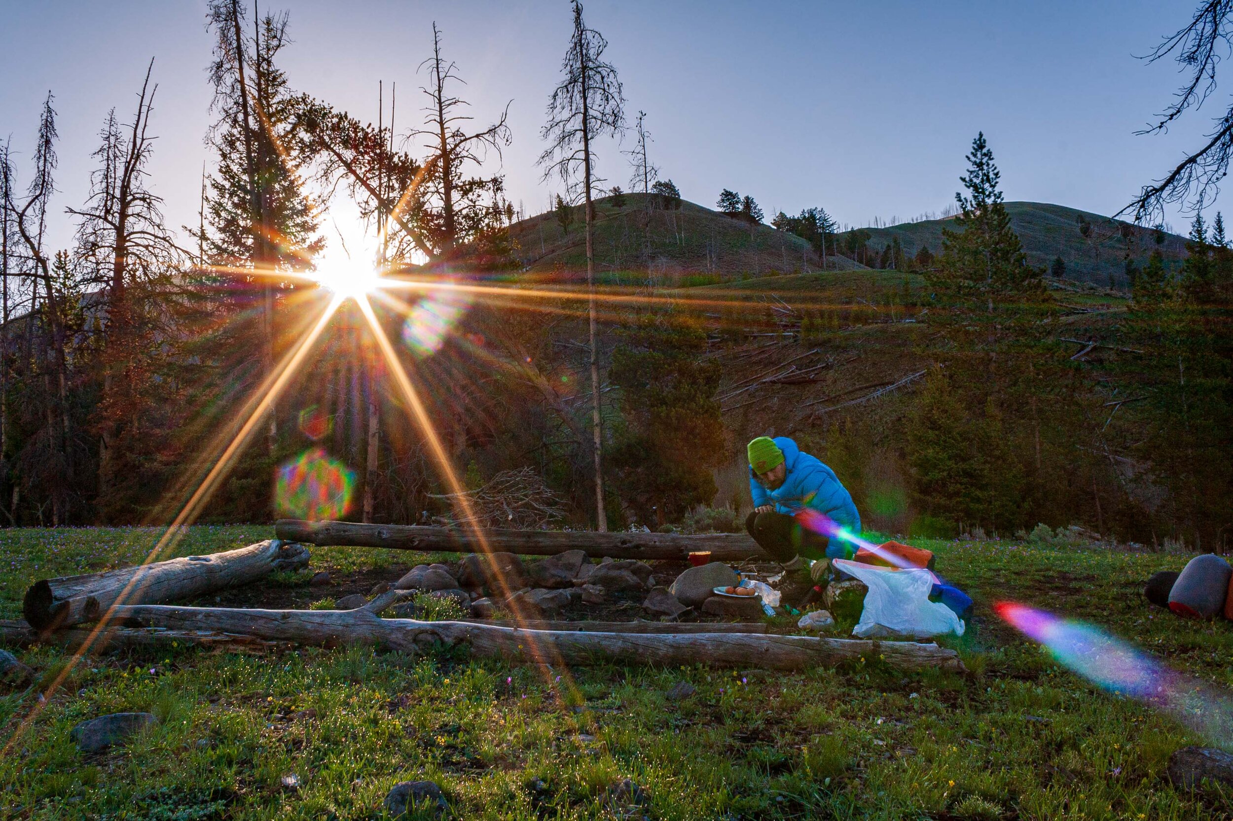
We finally arrived and were sitting down at our home for the night. It was beautiful. The mountains in front of us and two hillsides on either side of us. We were also right next to the Lamar River which was raging at this time. i looked at my watch, it was approaching 5pm. I told W that it would have been nice to know on what hillside the other campers saw the bear, on the hillside by us or on the other side of Lamar River. Not more than a few minutes later W whispers - There it is, there’s the bear.
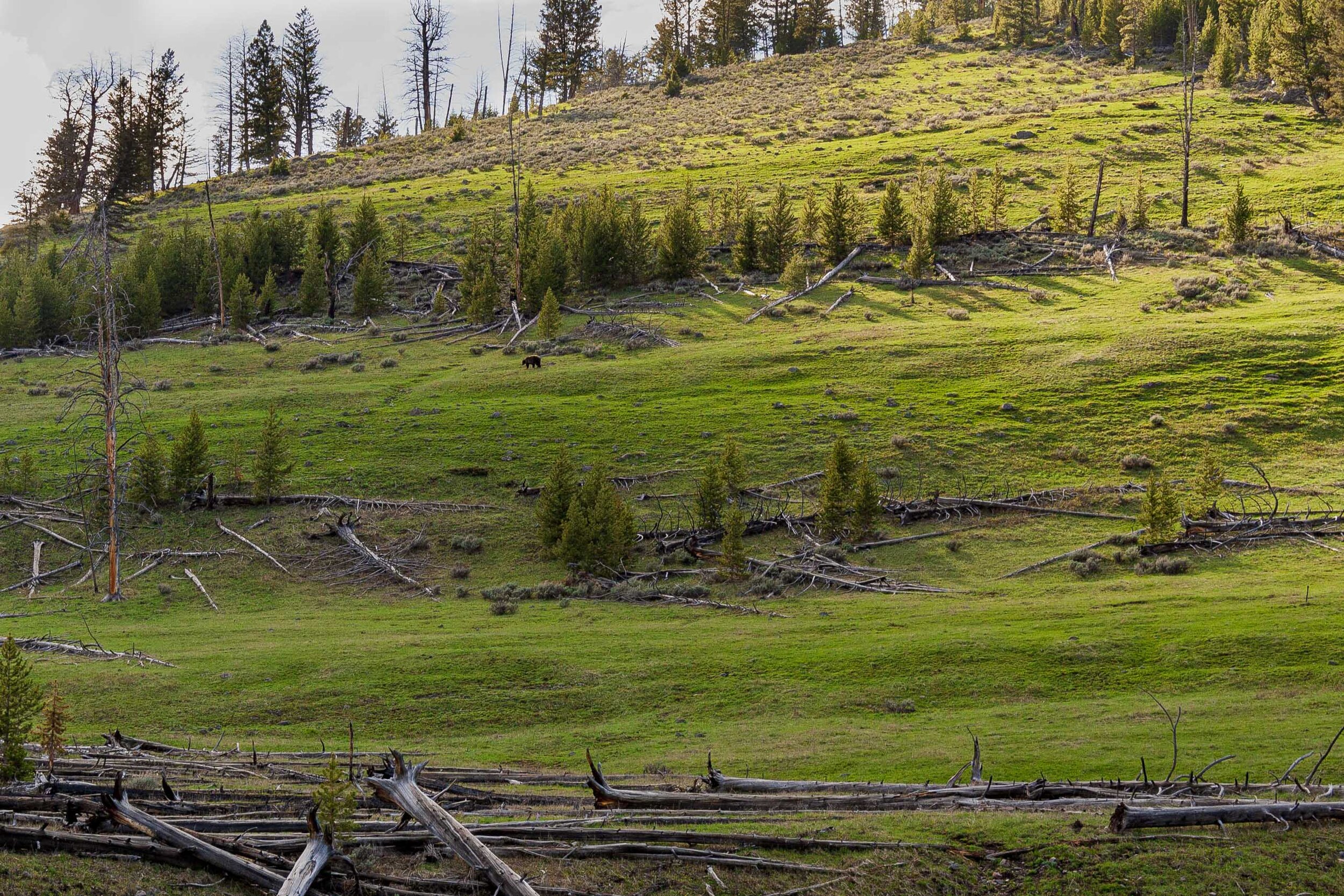
I immediately flew up with one hand on the bear spray and whispering in a frantic tone WHERE WHERE?? But then I realized that the bear actually was pretty far away from us. And she, or he, must have known about our presence. The bear continued along the hillside and you could see that it was on a mission. It payed zero interest to us, as it continued forward before it disappeared behind a hill.


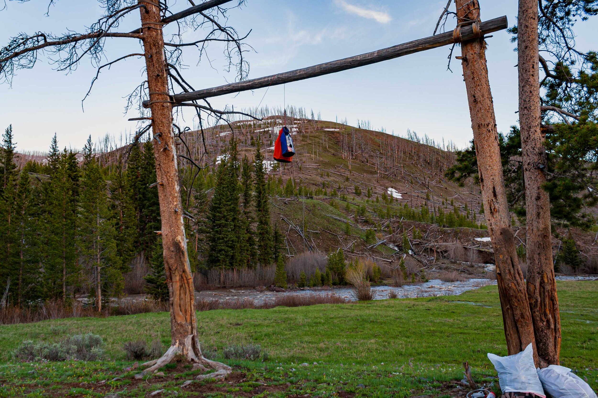
After the bear viewing it was finally time for some food. W, as always, cooks the food and I took care of the fire, and water situation. If there is one good thing that I learned during my time studying in Alaska it is to find springs. Spring water you don’t need to filter, it is mostly clean and ice cold. And since we were on a hillside I quickly found some very active springs. We were watching the mountains and talking about this and that before we started to pack up the food and realized we’d forgotten the rope.When you are backcountry camping in Yellowstone (and many other National Parks in the US, especially in the Rocky Mountains) you have to hang your food up, to prevent bears from getting it. We decided to use one of the tent strings that was strong enough for the food. But we had wanted to hang our packs and clothes up too. Instead we placed them by the food storage area. We changed clothes and put the clothes we used for cooking into the backpacks and then we also put a plastic bag on top of the backapacks. We’d already got our tent set up far away from the food storage area.
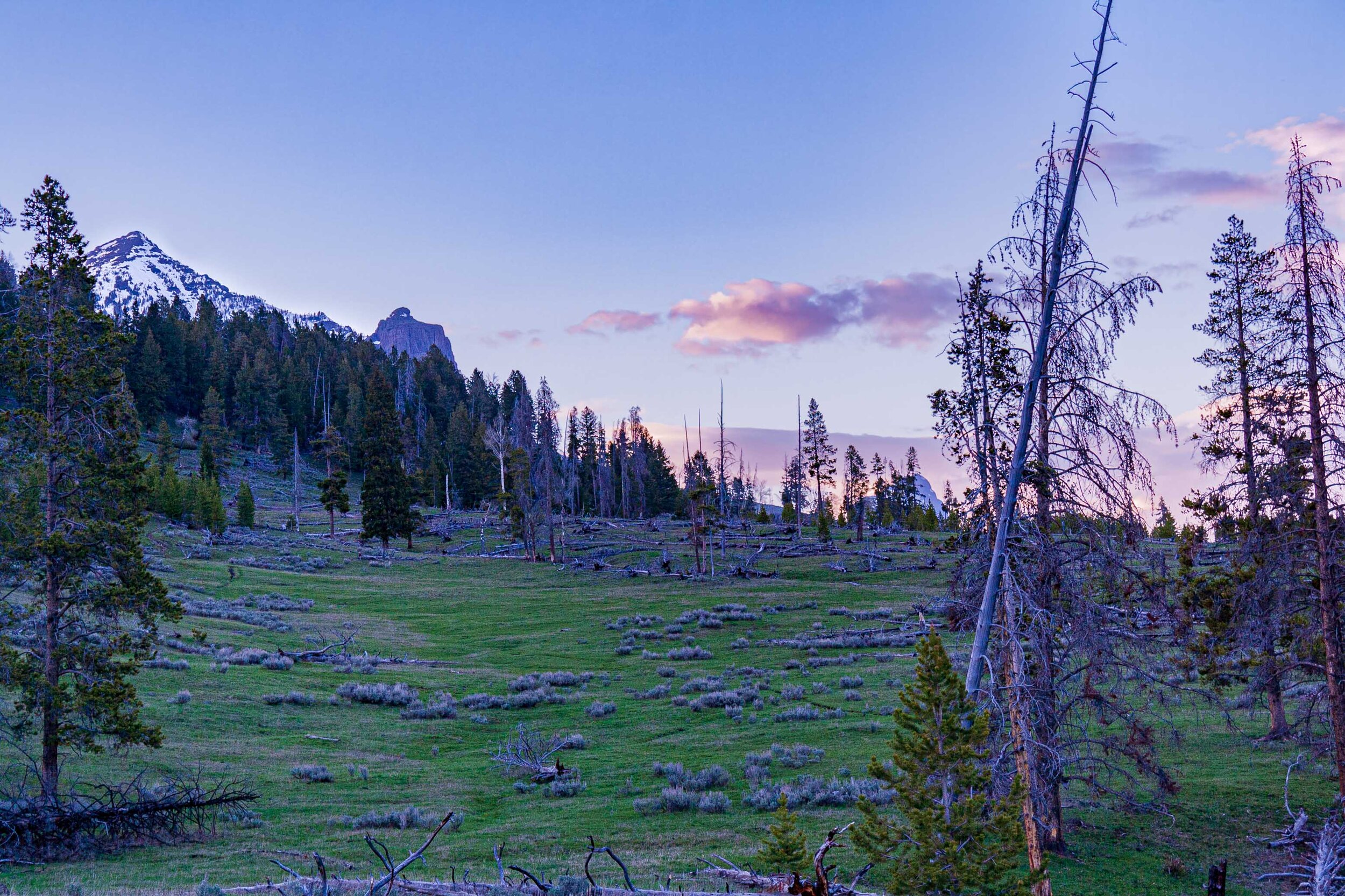
Before we knew it we were watching the sunset in the mountains and soon after we went to bed. But what a night. We kept hearing noises all night, it was hard to tease apart if it was the river we heard, the trees or worse a bison or a bear walking around. At one point we herd a loud thump. I layed dead still and whispered did you hear that. W was also wide awake, and he had heard it too. W was convinced that a bear had gotten to our food, I kept thinking that a bison was walking around our campsite and was heading towards our tent. And that is how most of the night continued. At some point we must have fallen asleep completely though because in the morning we woke up by male elk calling for a couple of females. After some well needed coffee and breakfast we were finally ready to hit the trail again.
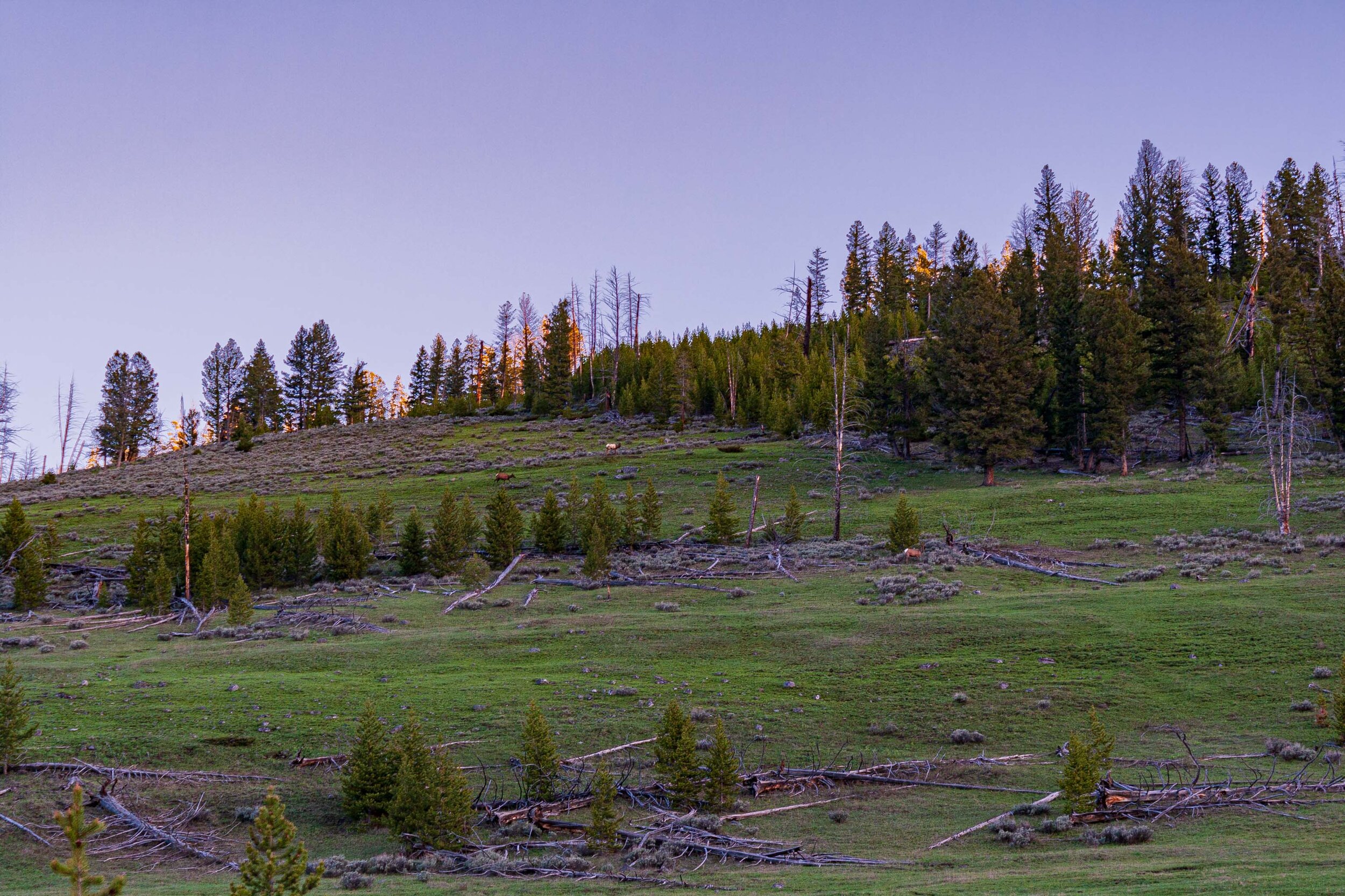
We packed up and started the hike back. Both of us were already feeling a bit stressed ove the first part of the hike which included all these large herds of bison. We met some new campers who were heading out to the campsite we just left. We told them about the bear and also asked them about the bison. They told us there were many bison covering the whole trail and made it hard to pass. Great. So once we approached that area we started to walk up up and up the hill. In this way we would be able to see where the bison were and maneuver in that way. We trecked through the sage brush that tore our legs up, cause we were of course wearing shorts. Once up the hill we didn’t see a single bison down below.

Do you want to read more posts about Yellowstone National Park? Click the link below:

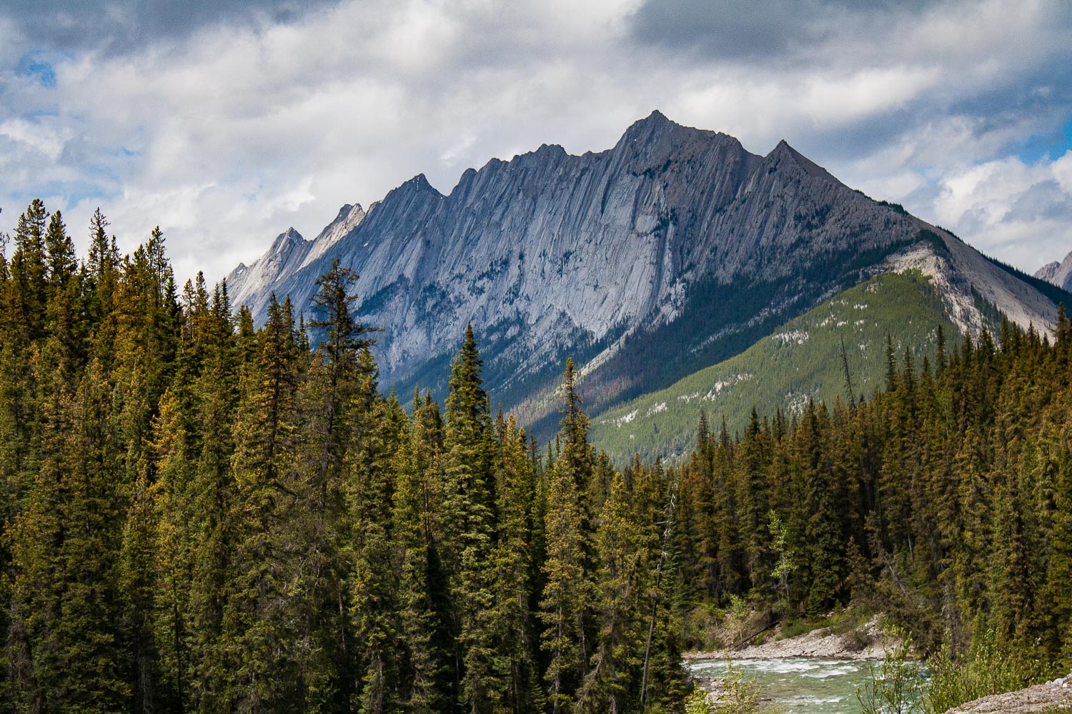
The park is maybe mostly known for its thermal hot springs like the Old Faithful. The hot springs create a specific microhabitat that allows certain species to thrive, but if you go up in elevation you will find the fragile alpine flora and a completely different microhabitat. Yellowstone is part of the Rocky Mountains, which extends all the way up through Canada. The park is one of the oldest National Parks in the US, and became the nations first National Park in 1872. Within the park you will find the Washburn Range and the Red Mountains Range. The northwest corner is covered by the Gallatin Range which starts north of the park, around Bozeman, MT. In the northeast corner you have the Absaroka Range that follows the Montana-Wyoming border and make up the eastern border of the park.