Flashback Friday
Mount Prindle - July 2010
The Analogy Between Hotel Ratings and Hiking Ratings
It takes almost two hours to get to Mt. Prindle parking lot from Fairbanks. Most of the hikes you do around Fairbanks sets you on a journey of at least 1 hour in any direction. This summer I went with a couple of friends from the university. We all wanted to explore and see everything Alaska had to offer. We started early in the morning from Fairbanks, and got to the parking lot with plenty of time before lunch. The parking lot is also a campground, but this is not where we camped. Doing Mount Prindle takes at least two days, well depending on how fast you want to hike I guess. We just wanted to get out there. There is a stream crossing right off the bat, and most of the trail overall is kind of soggy, so we decided to go with the Tevas for the trek in. If there has been a lot of rain leading up to the hike, people sometimes can’t even start the hike because the stream crossing is just too dangerous.

It’s a 19 mile return trip, and about 8400 feet in total elevation change, and the hike is marked as difficult. I once had a climber friend who said that climbing routes and their grades are almost like hotel reviews, I wonder if hiking routes could be consider that as well. Not to say that this hike was anything easy. I think that these ratings are rightful, it also makes you think an extra time before taking on the hike. Mostly I think these ratings are because of the possibility of weather changes, lack of water to drink and in this case also some stream crossings that can be very hard to do if there has been a lot of rain the past few days. Also you are in bear country too so another thing to remember. It’s about 6 miles if I remember correctly to the place where we ended up camping. There is a creek flowing fairly nearby and you have a panorama view of the tors.


Camping and Moments of Joy
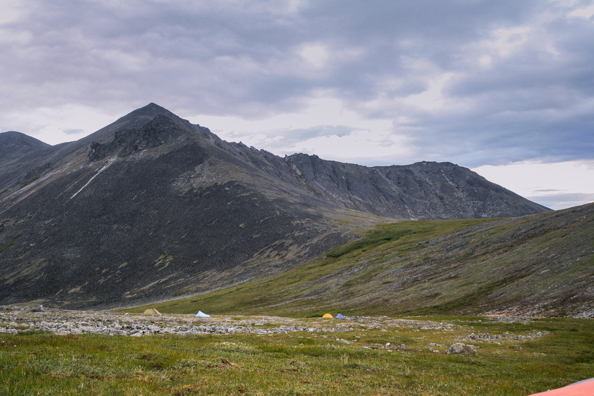
You are not allowed to camp in certain areas around here, so always good to check online, at BLM, exactly where you are and where you are not allowed to camp. We had arrived so early, it was only lunch time, so we set up our tents, had some food and then we went on a short hike to get a first taste of the tors. We goofed around on the tors and enjoyed the view. Later in the evening we had good food and s’mores and other candy for desert. Hot chocolate was also consumed after dinner.


I don’t remember there being a spectacular sunset, or sunrise either for that matter. But also, back then I wasn’t so used to taking photos, and also was better at soaking up the moment itself, instead of being busy taking an awesome photo. It’s a balance, a balance between being too caught up in photography and enjoying the moment. This is your moment, don’t loose it by being too caught up in taking a perfect photo. I often struggle with that balance.
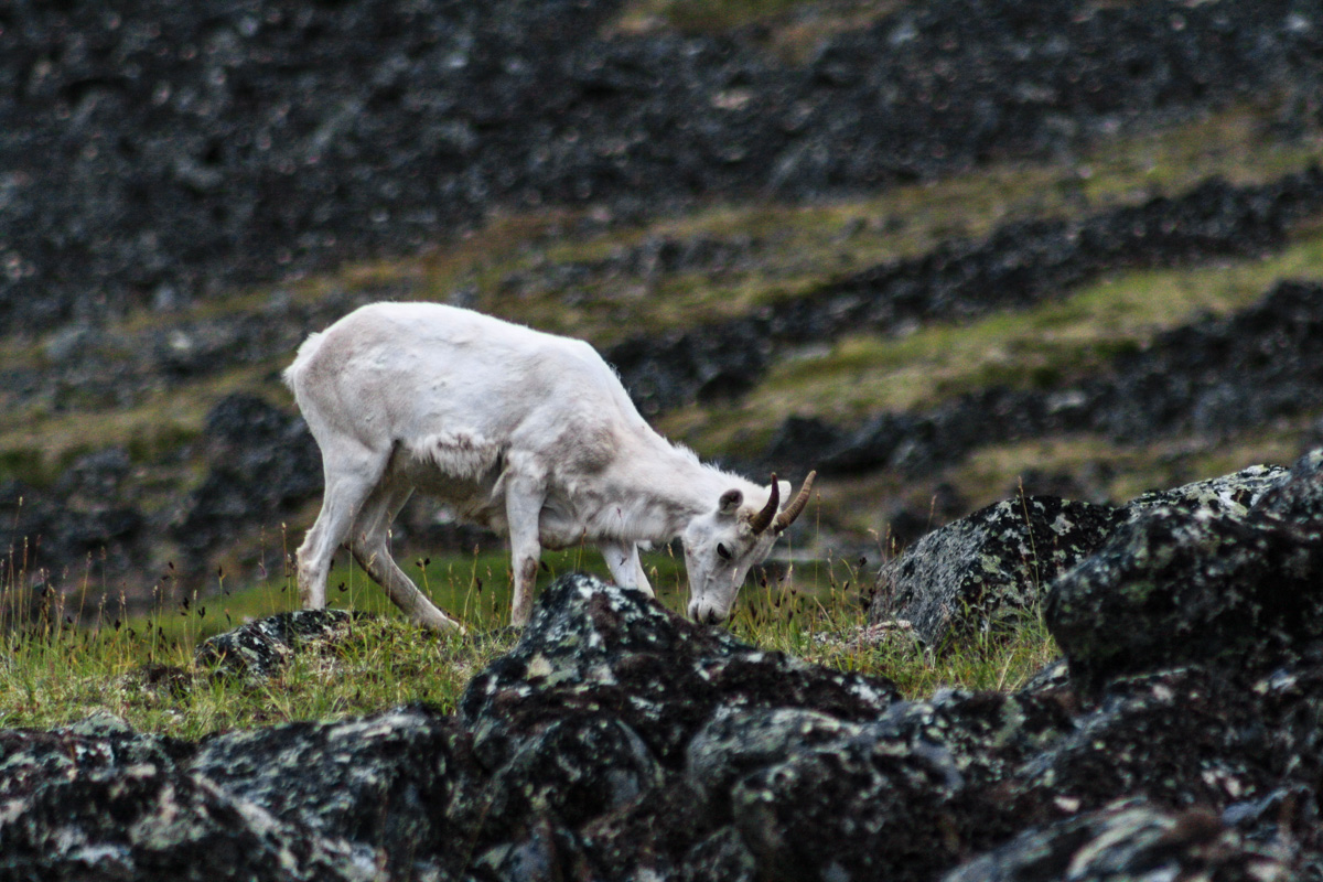
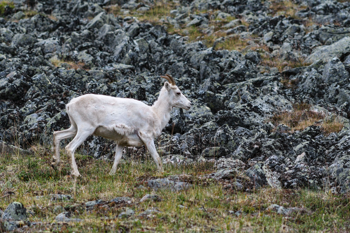
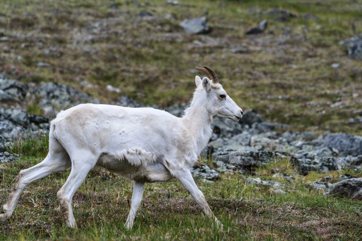
Dall Sheep and the Everlasting Question: to Conquer or not to Conquer?
The next day I woke up by a noise, something was definitely outside the tent. Something was munching on grass right next to my ear. I glanced through the mosquito mesh next to my head and saw a white creature, a Dall sheep. These sheep didn’t seem too scared of us but held themselves to a greater distance after we all got up for breakfast. I think there most have been 20 or so of them in total. Later on we could see plenty of them on the hillside farther away from our campsite.

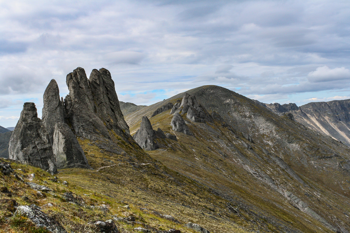
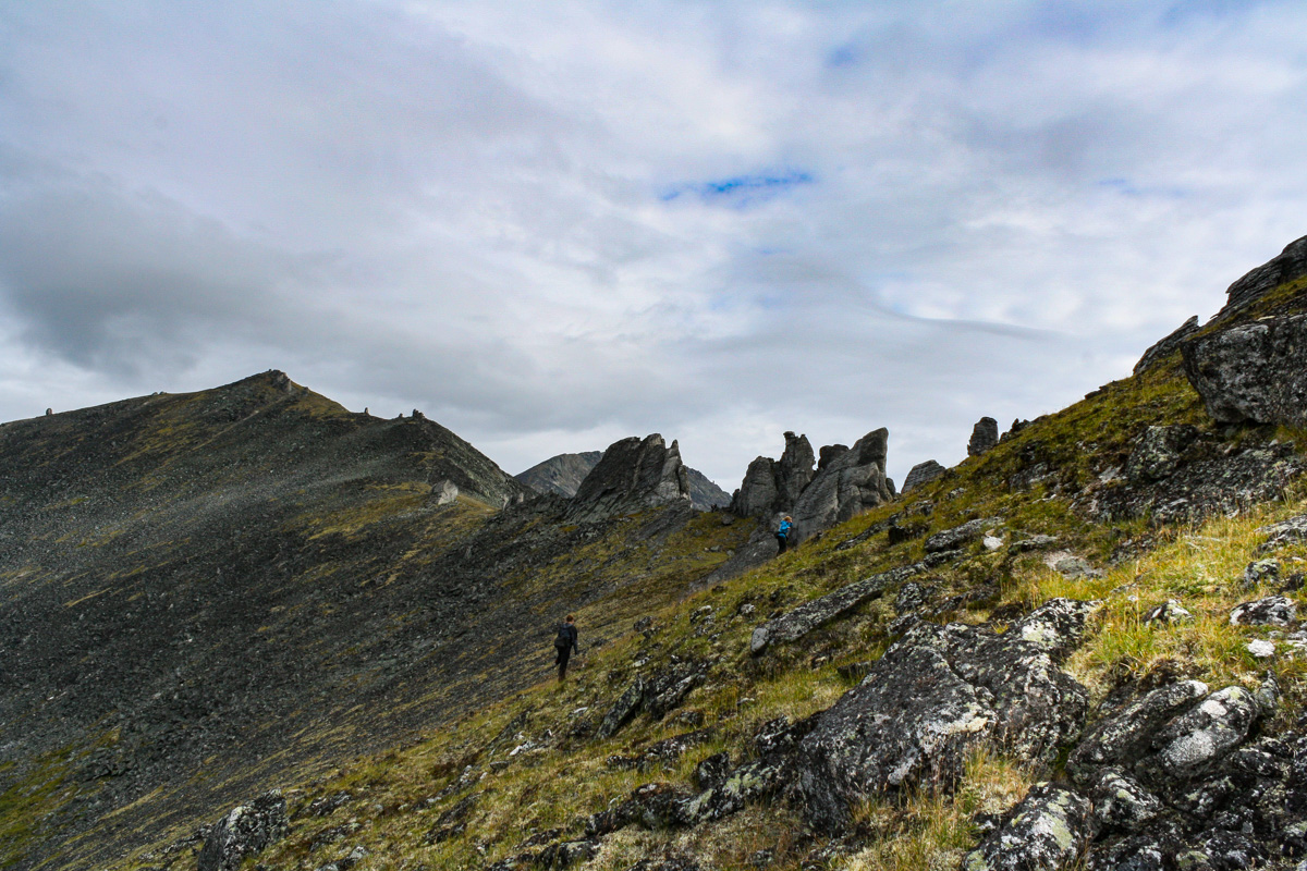
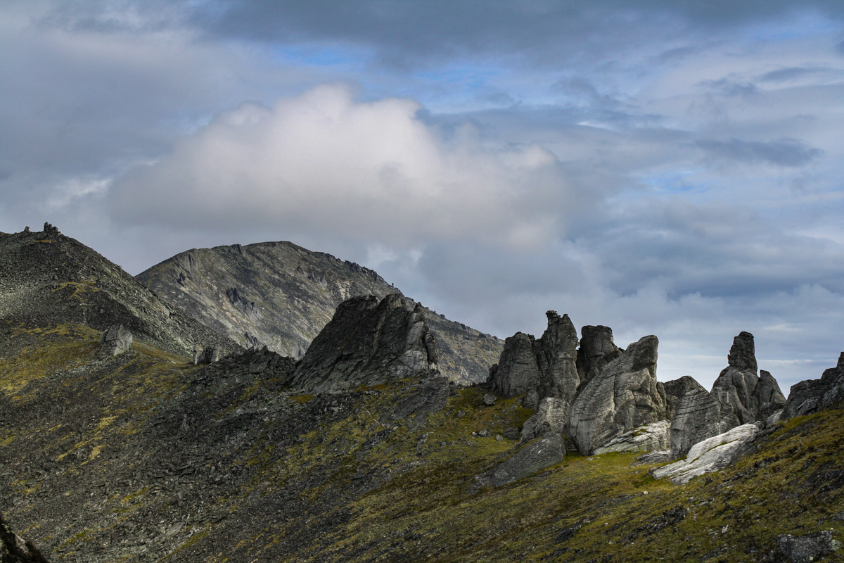
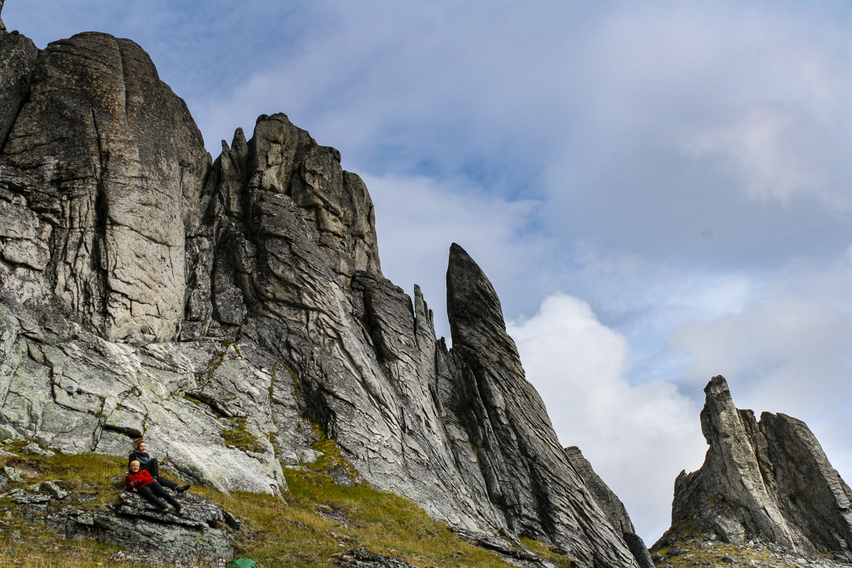
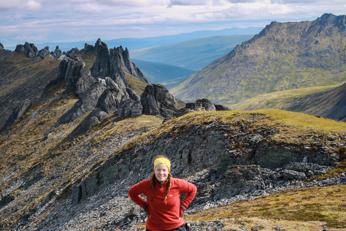
Today we set our goal to conquer the tors. We were six people, and while three of us hung back at a slower pace, the other three were long gone. It’s not the end destination that is the goal for many hikes, it’s the hike itself. That is another thing that people sometimes have a hard time with, or just have a different opinion about. It’s cool and so on to conquer mountains, but the trip there is what makes it worth it. Aren’t you most interested in the hike to the summit, rather than the summit? Oh well. I guess I am secretly excited about the summit as well. These tors are like something taken out of Mordor, or at least that is what I think the look like.

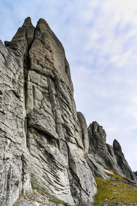
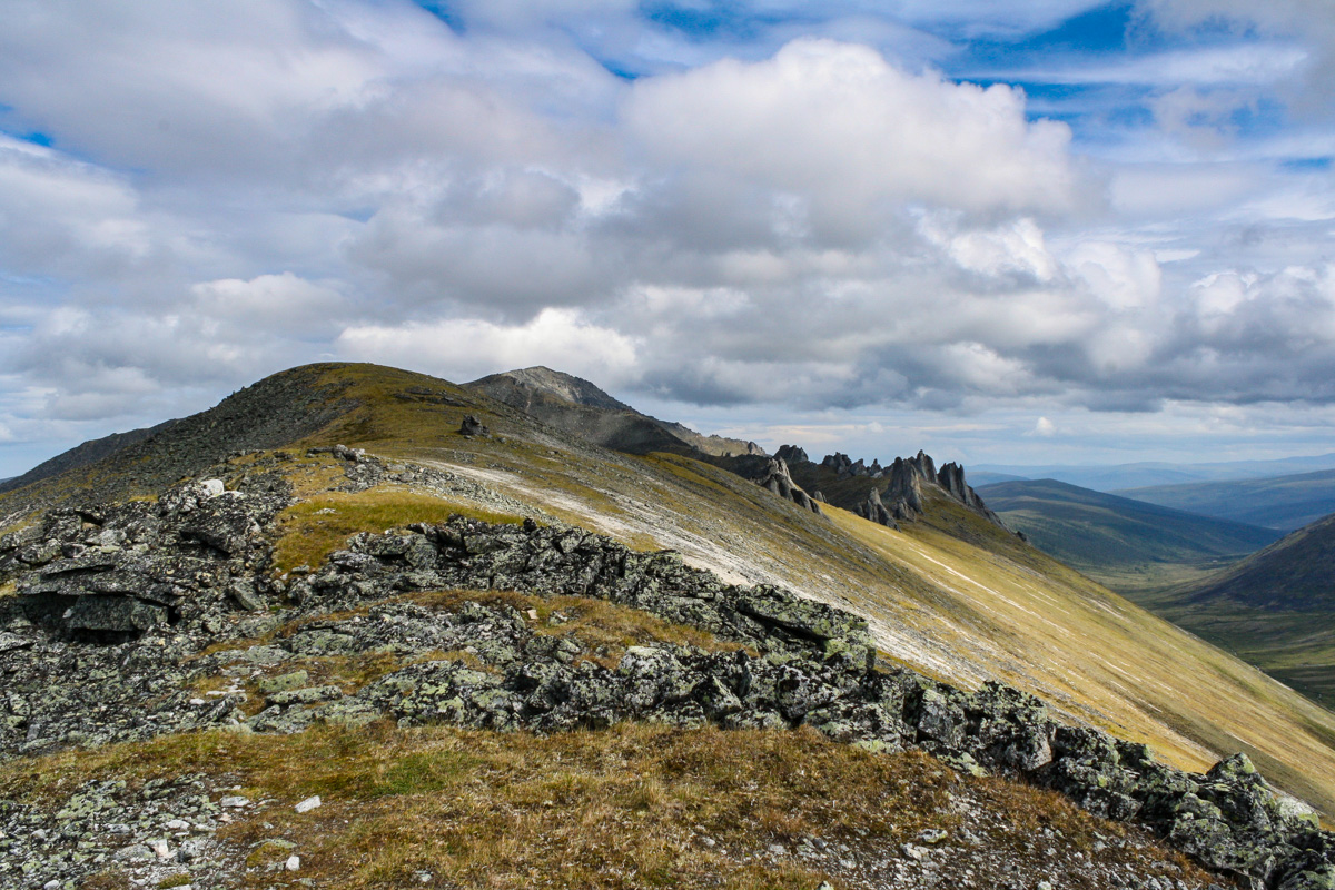
Mordors Nest, Periglacial-Glacial Landforms, and Solifluction Lobes
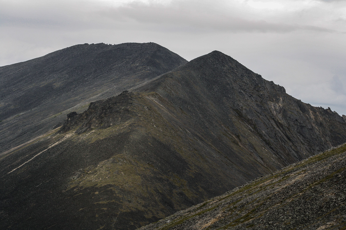
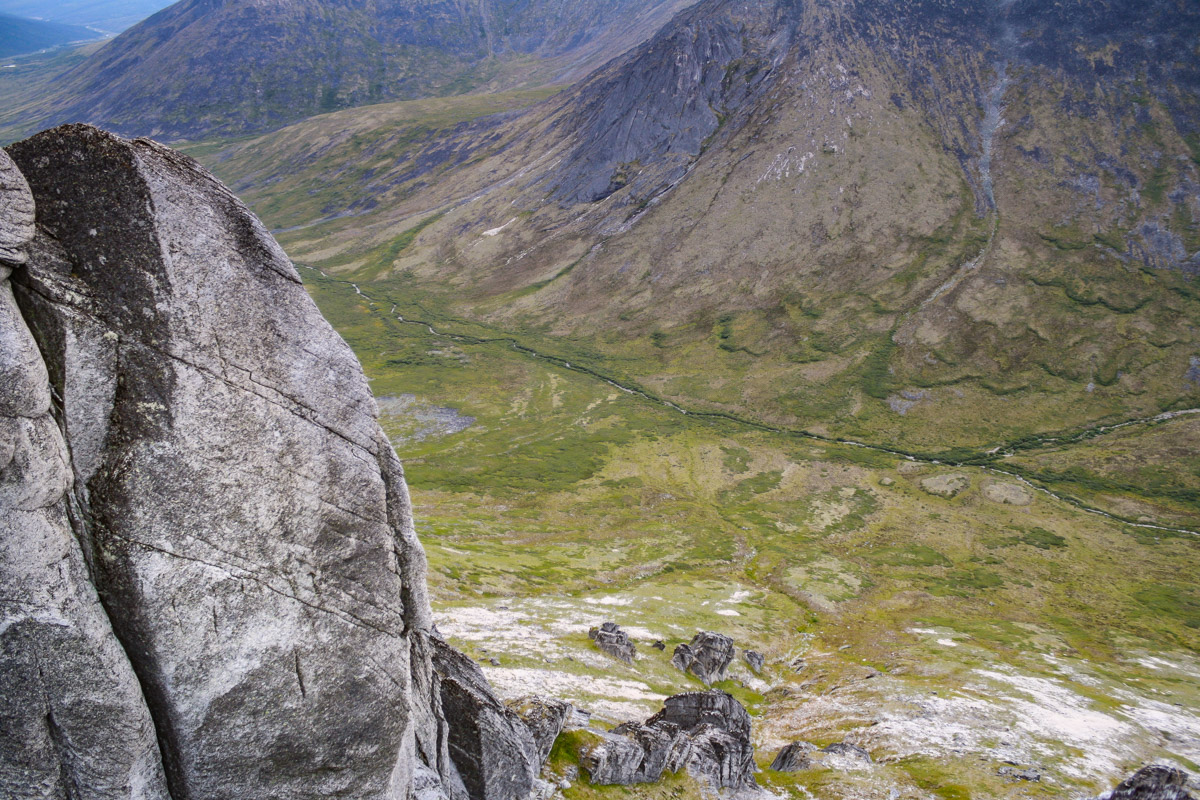
This specific area has such an interesting mix of cold-climate processes, something that is a bit rare in this region. A lot of the interior of Alaska was not glaciated during the most recent glaciation, but the area around Mount Prindle had isolated glaciers. You’ll see leftover moraines as you look around towards the foothills of the mountains, and on the ridge line of Mount Prindle you’ll see the characteristic tors. On the sides of the mountains you can see these half moon shaped (Solifluction Lobes) masses slowly making their way down from the mountains towards the valley. These landforms are the result of thawing permafrost.
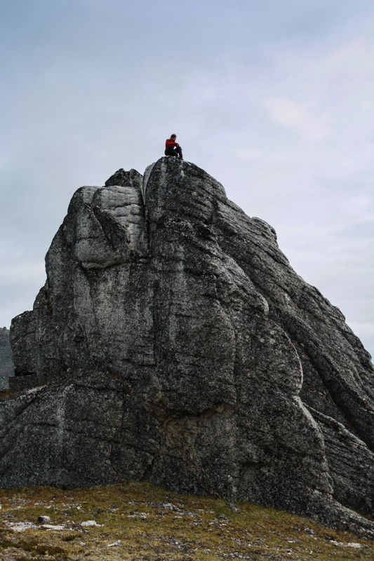


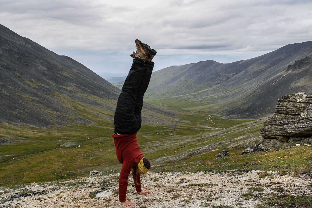
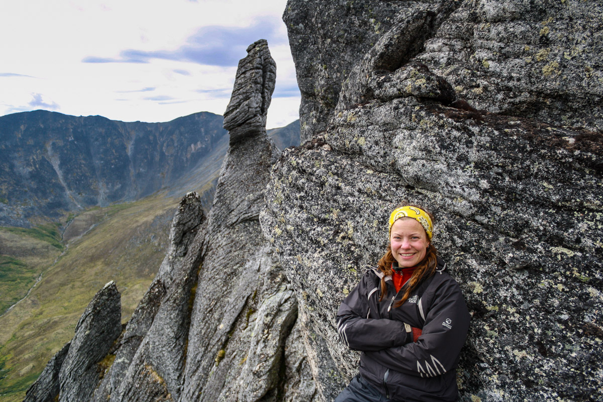
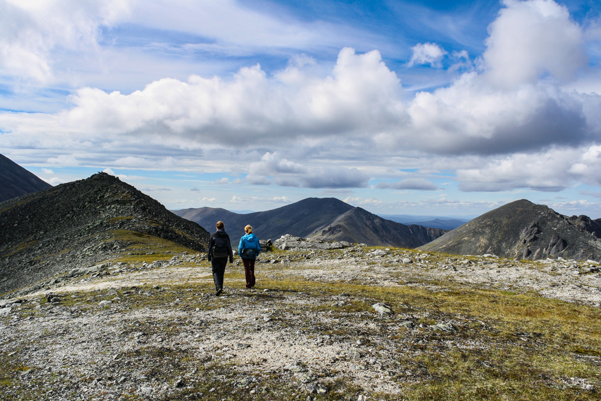
We spent several hours up on the ridge line and the tors. We climbed around, took photos and had a good time. All the photos of me are taken by my friend Amy. The hike is not hard if you spend the night in the area, what often makes this hike hard is the constant weather changes. We had rain and a cloudy sky during part of our hike, but we were also lucky enough to have some blue sky peeking out from time to time.

Have you done any hiking that you will always remember?