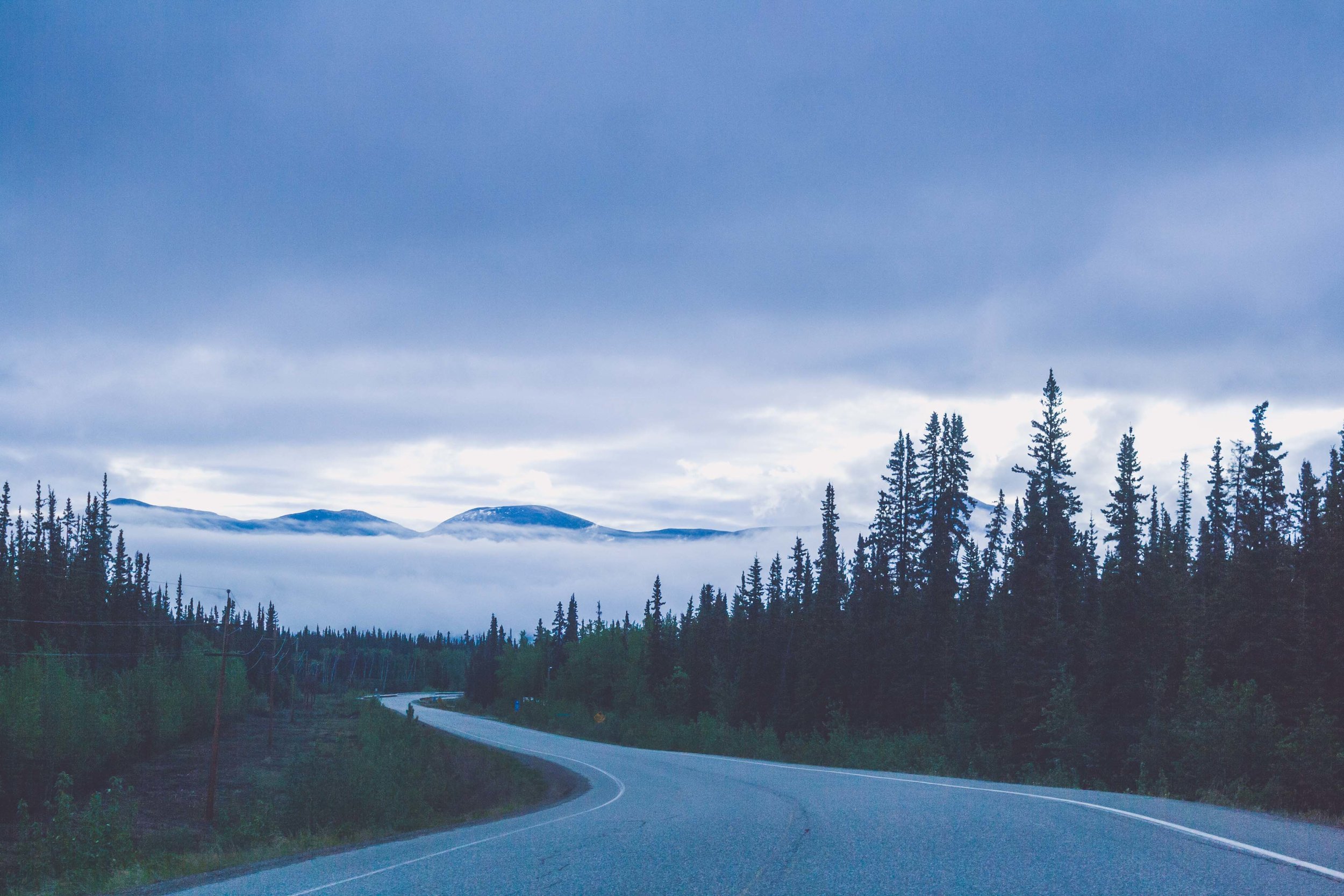


Clouds on the Horizon
DAY 4, 05/24/16: Liard Hotsprings to Saskatoon Island Provincial Park
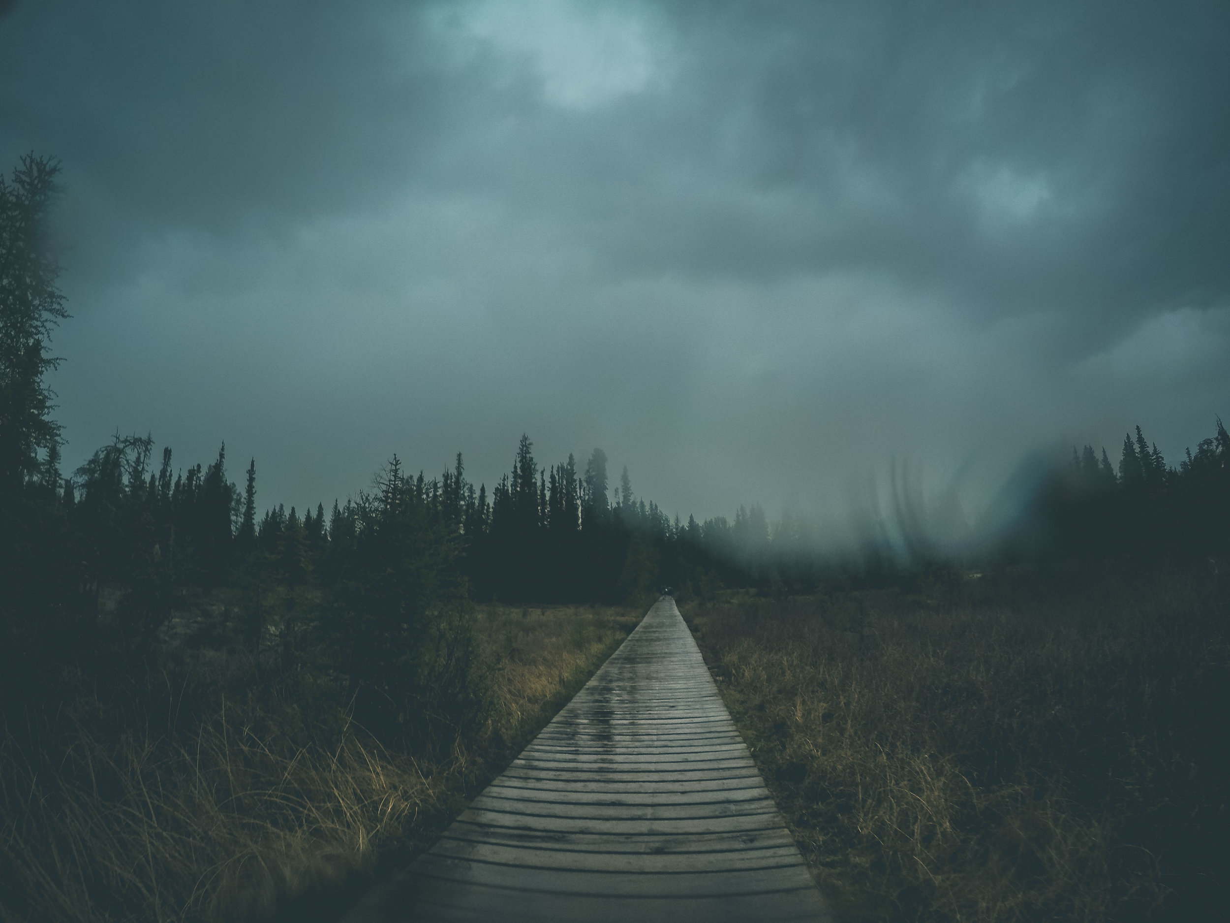
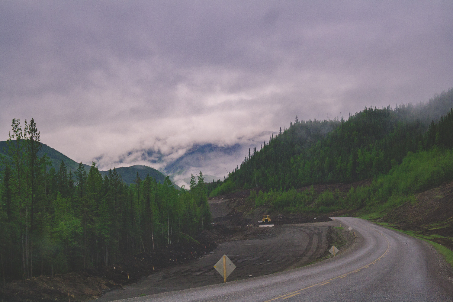
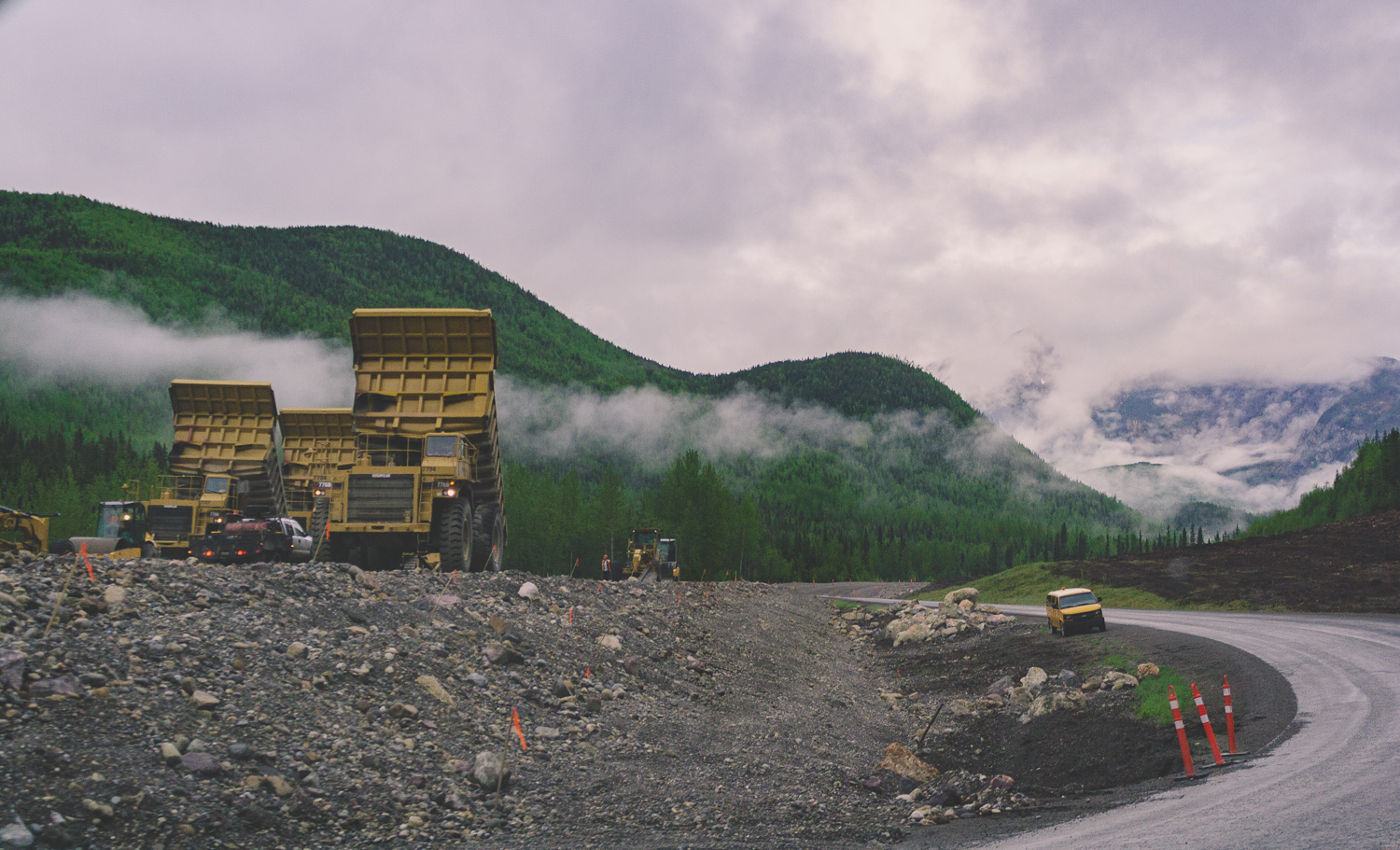
The rain had once again caught up with us. It had rained a large part of the evening before, and this morning some light rain was mixed with the clouds that continued to hover over us. It had become pretty clear that we were moving in a direction towards more and more people. We had spent our first night in an empty campground in the Yukon Territory. Now, at Liard Hotsprings we were not so alone any longer. The roads here are wide, but there is a lack of traffic and as I mentioned earlier, summer is the season for roadwork.
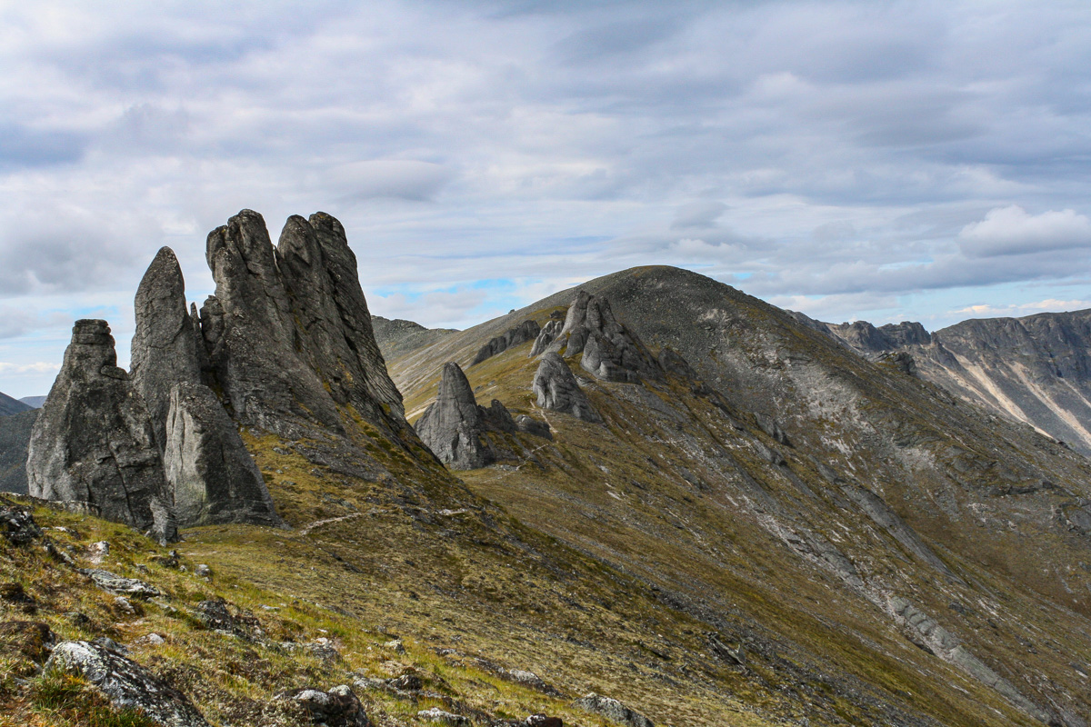
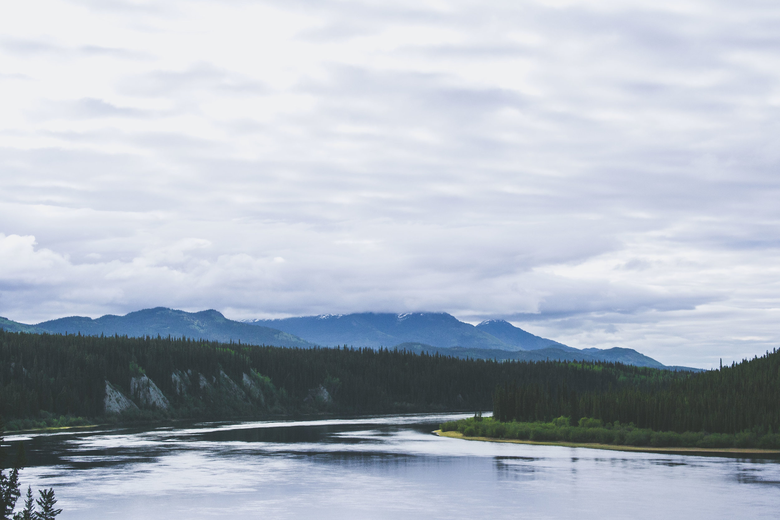
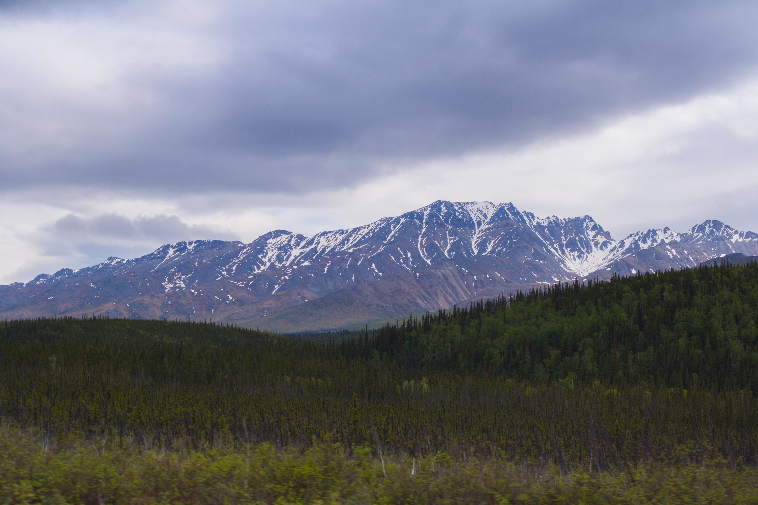
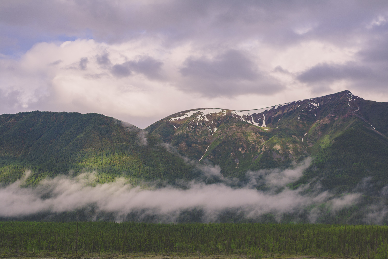
Surrounded by Mountains
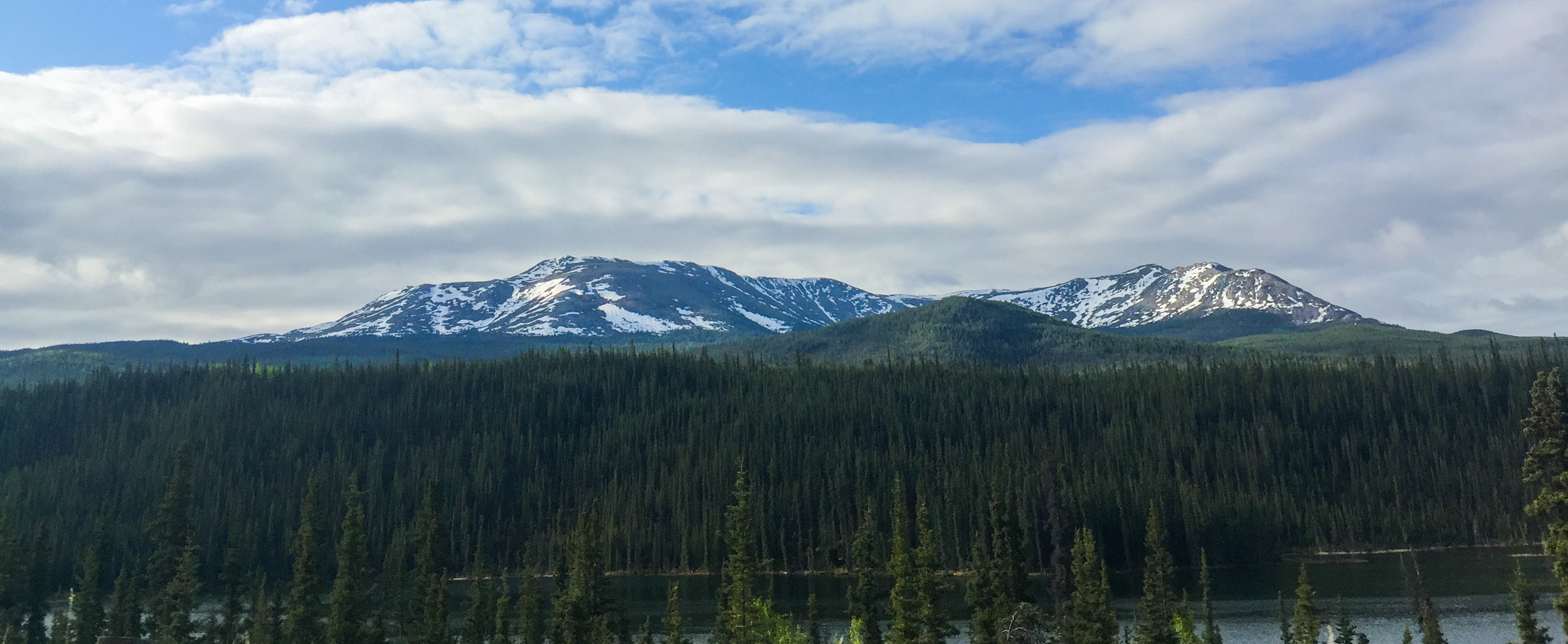
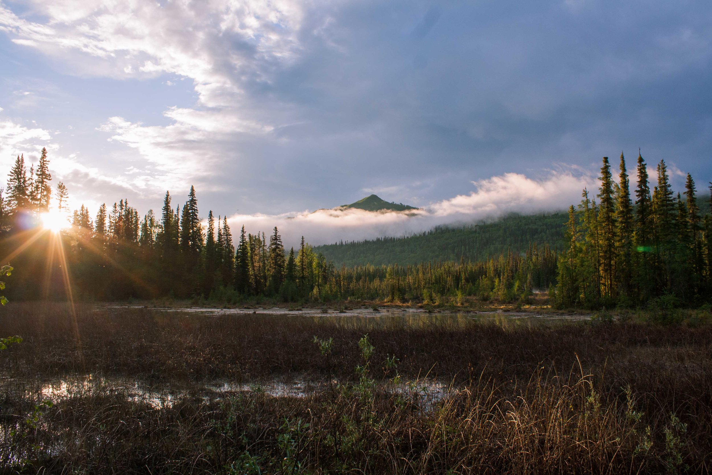
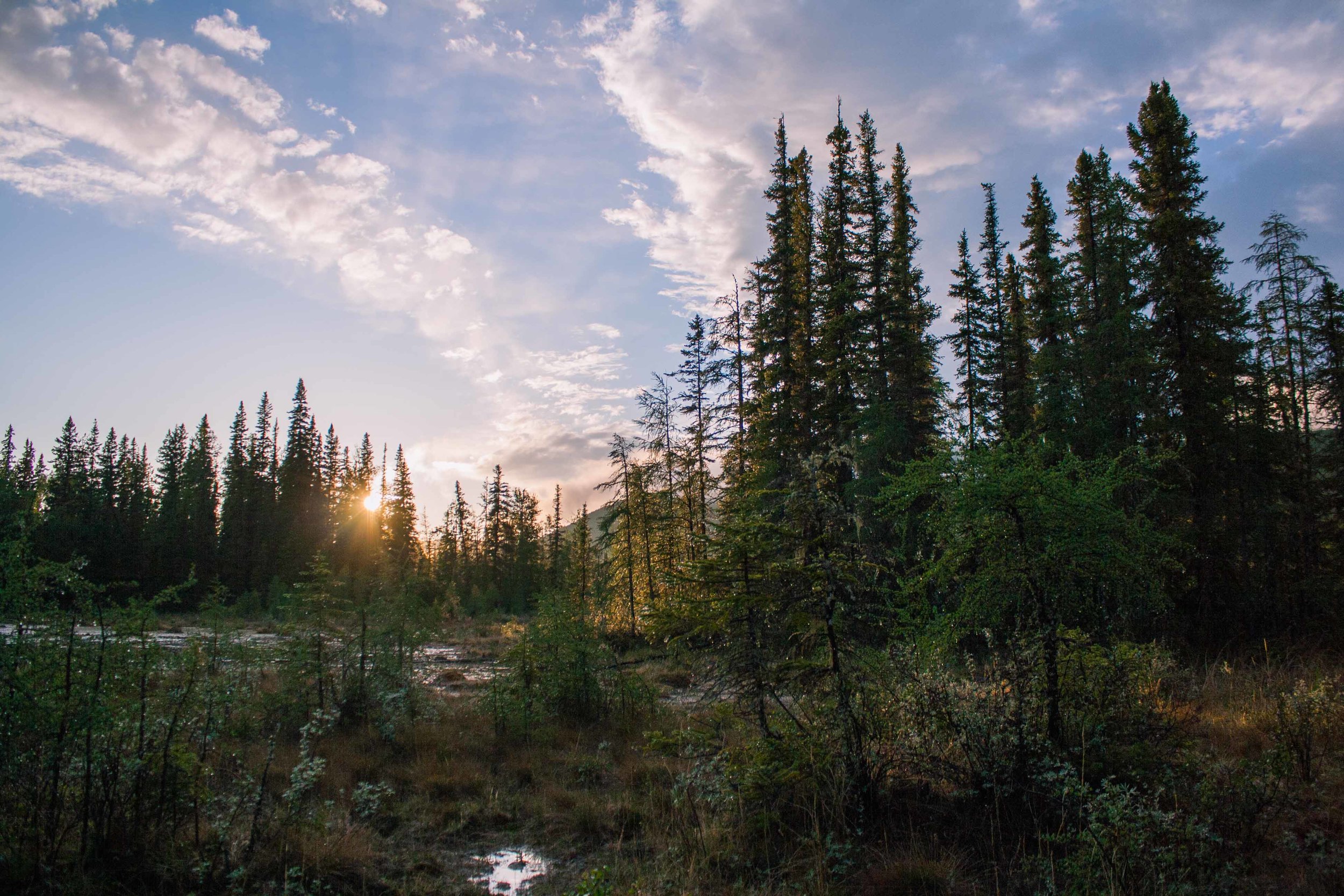
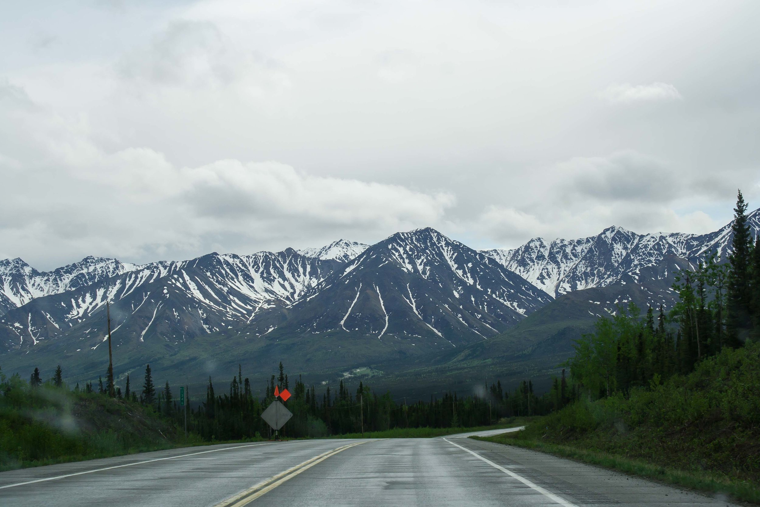
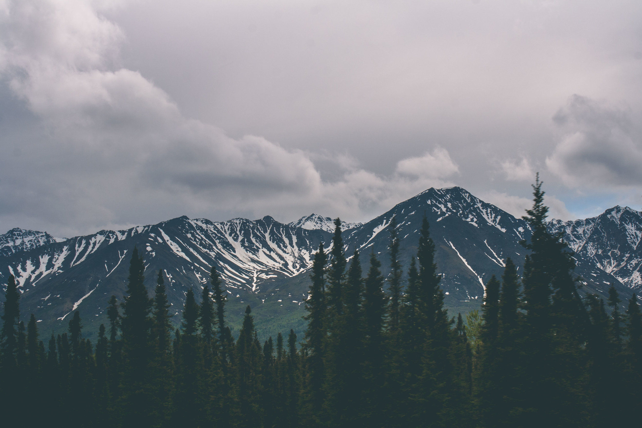
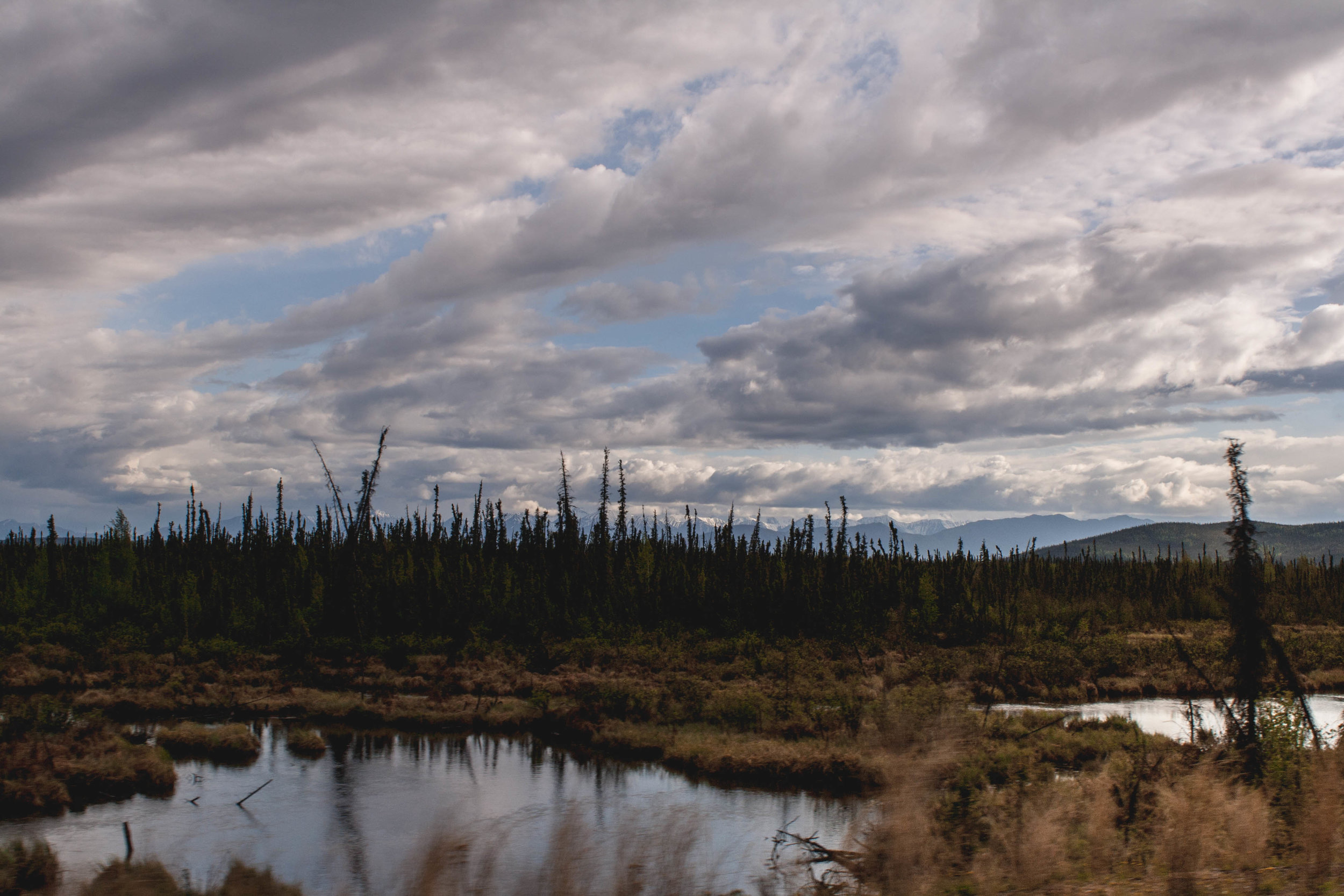
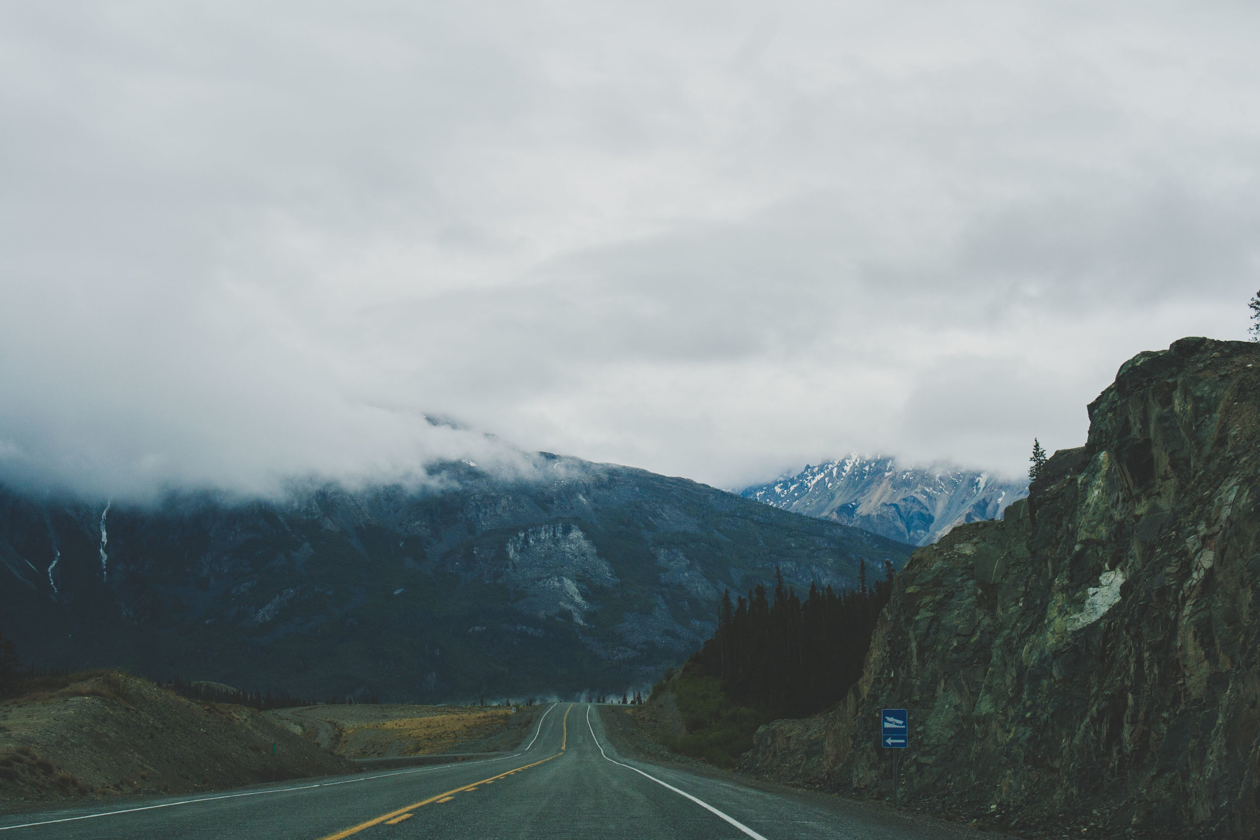
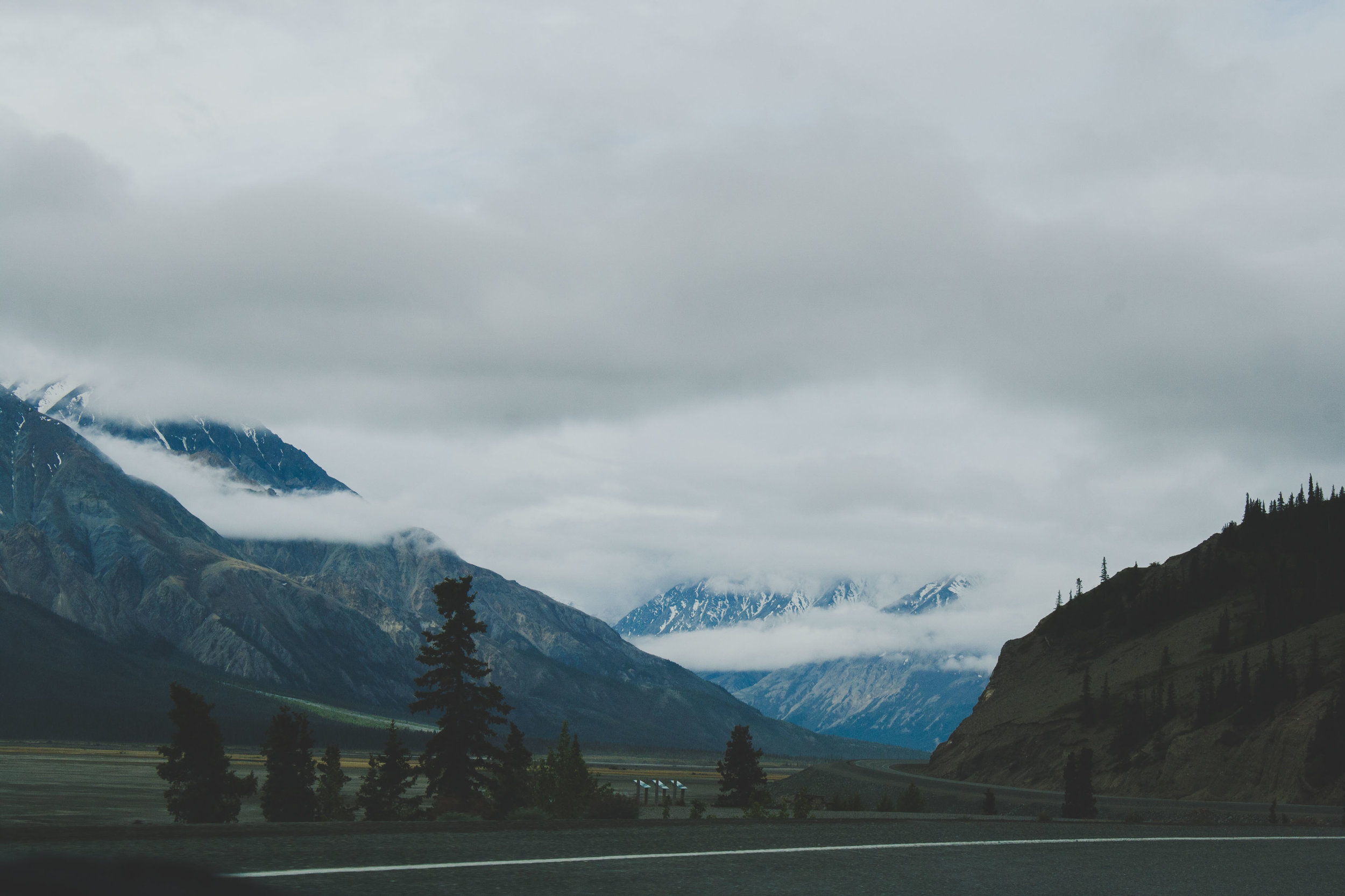
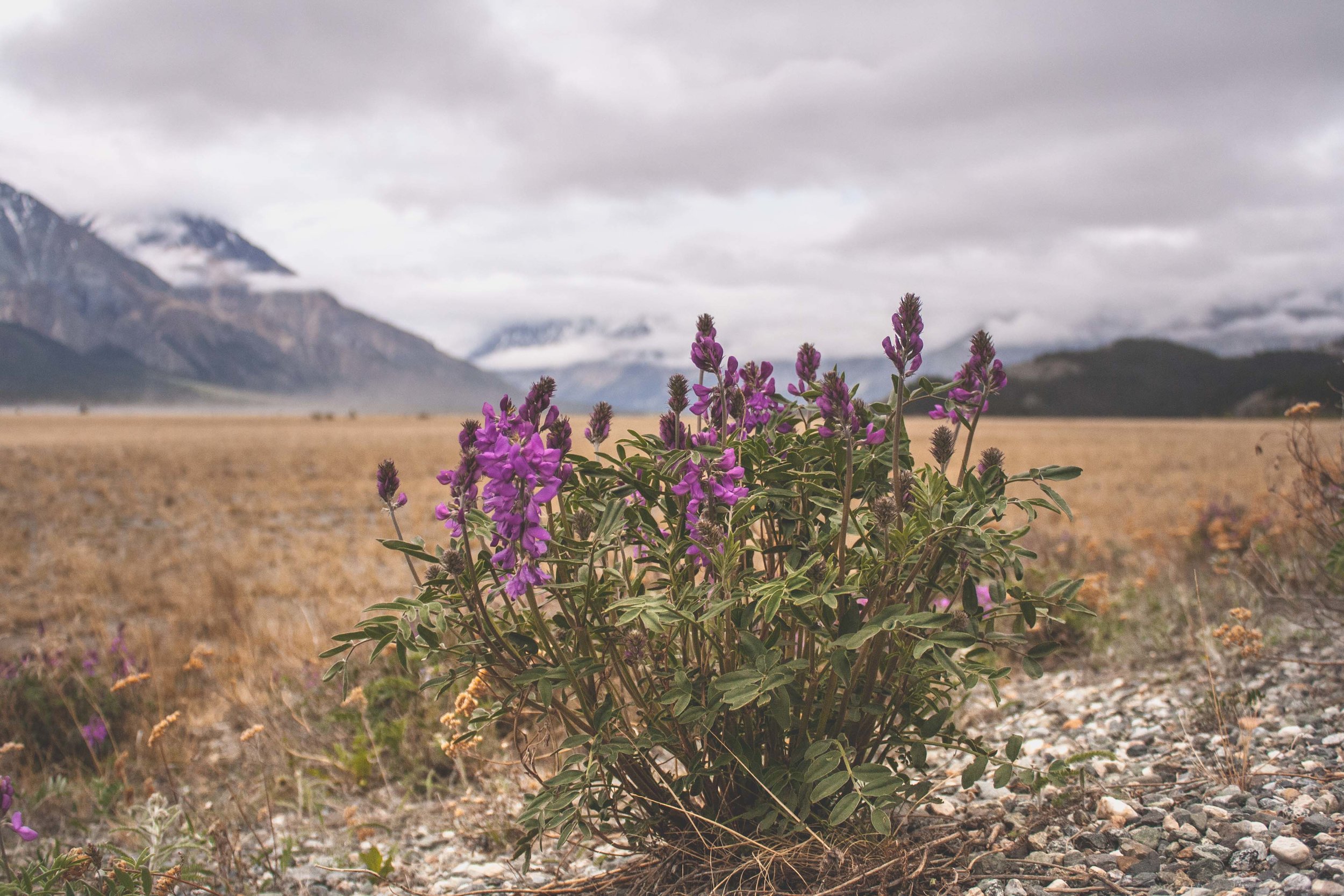
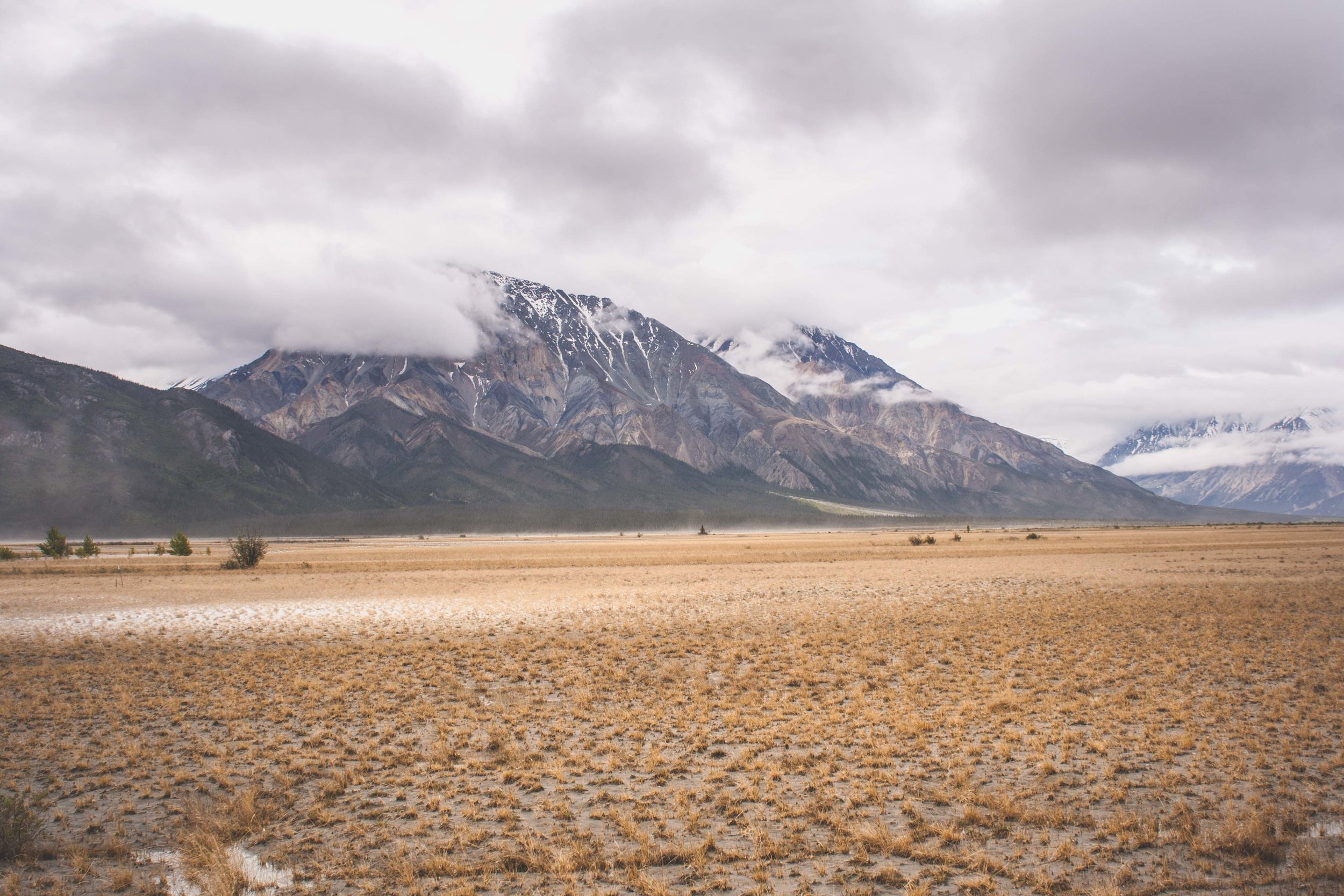
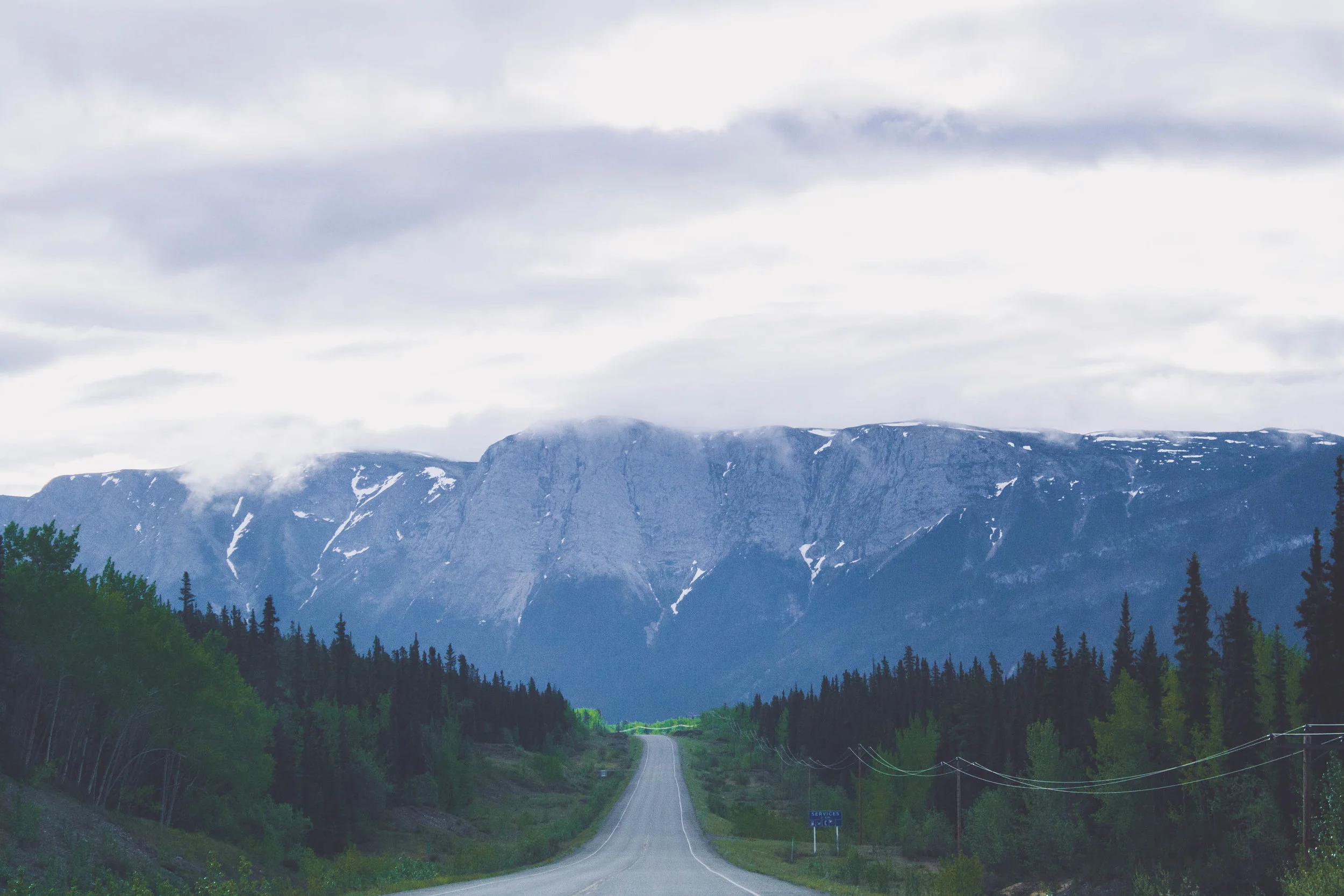
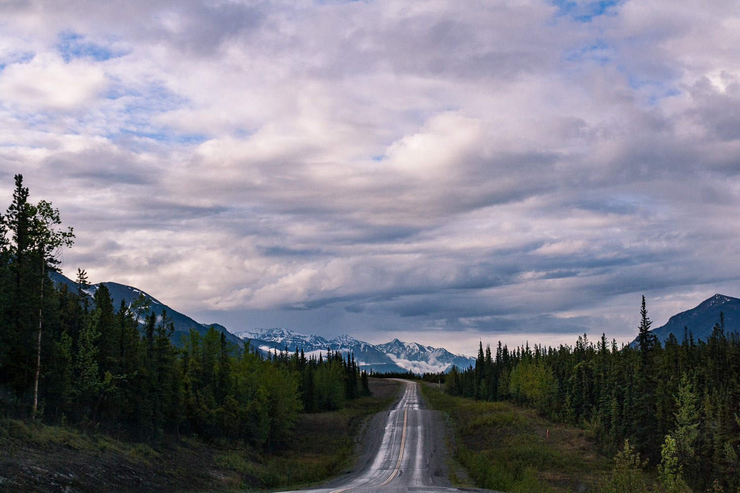
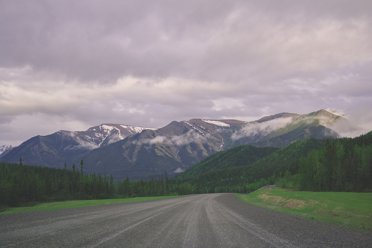
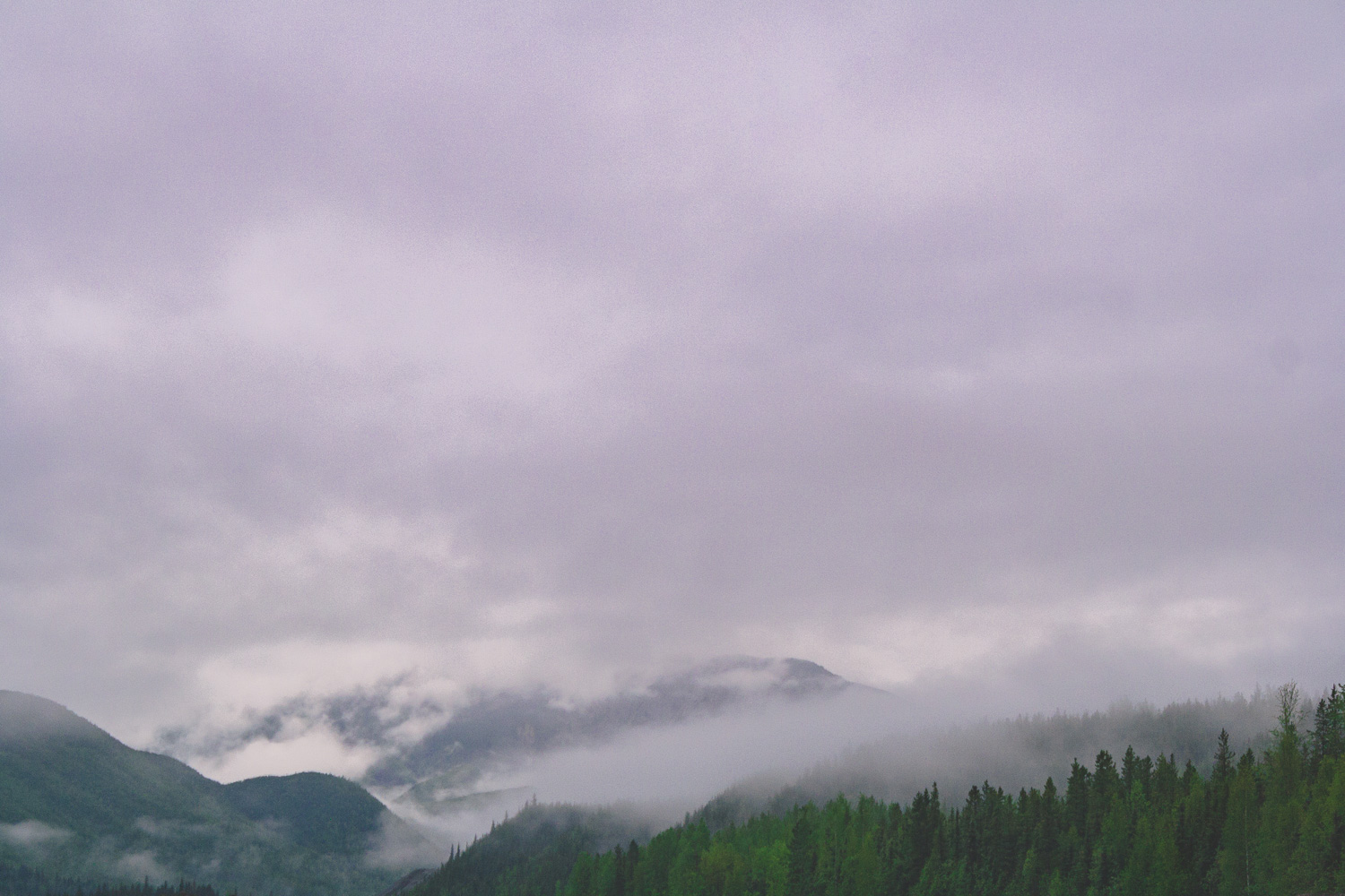
Since the campground was so crowded, we decided to drive for a bit until we had breakfast. We drove south on the Alcan. Passed mountain after mountain, but not really any other cars. There are so much wilderness here, and parks. National Parks and Provincial Parks. Everywhere you looked there were mountains partially covered in clouds. Deep forests and wilderness as far as the eye could see, and then this wide and empty road leading straight through it. If you have ever looked for serenity, this is it.


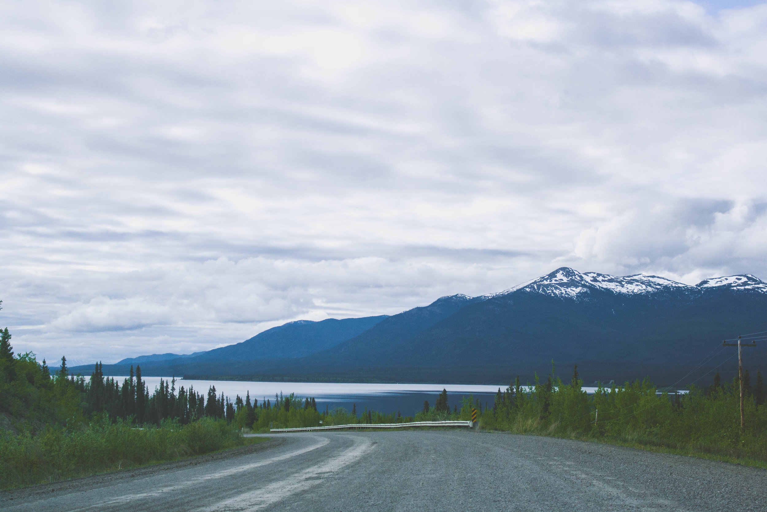
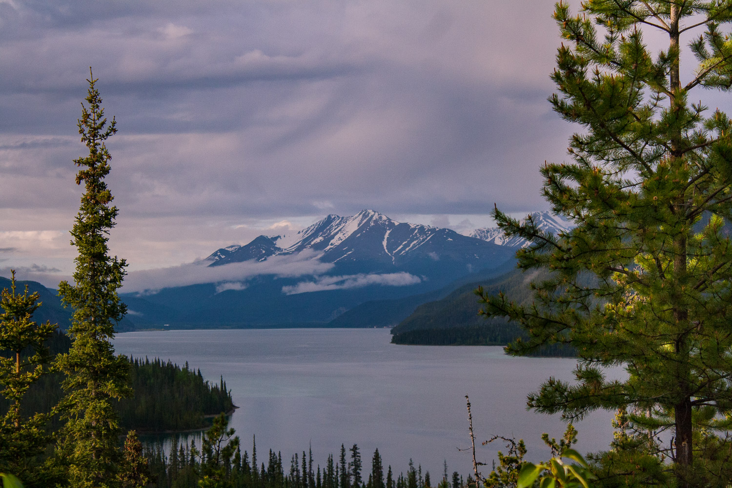
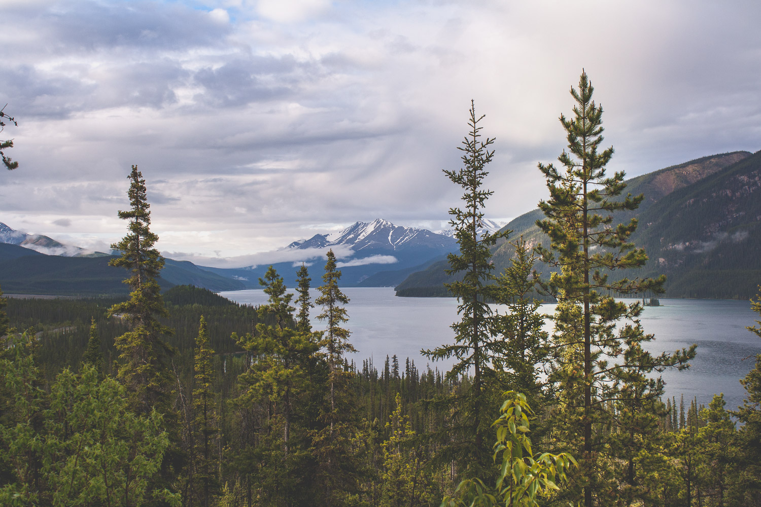
Muncho Lake Provincial Park
After about an hour we pulled into MacDonald campground right by Muncho Lake. We went to one of the short-term parking spots and and made some breakfast. As we were standing there the clouds parted a bit and we could see some small specks of blue sky behind a rainbow. We had yet another cup of coffee as we prepared for the long day ahead of us.
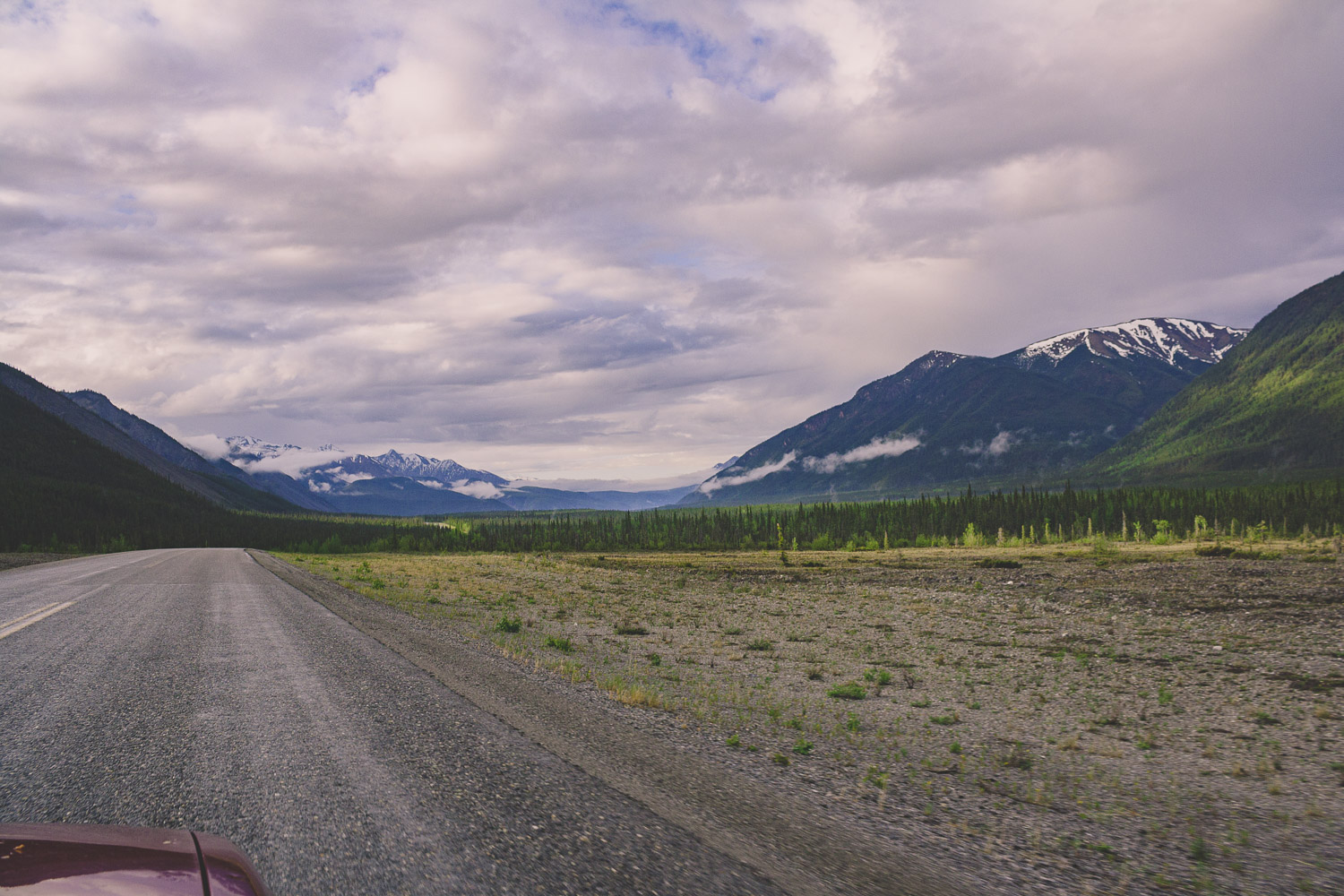


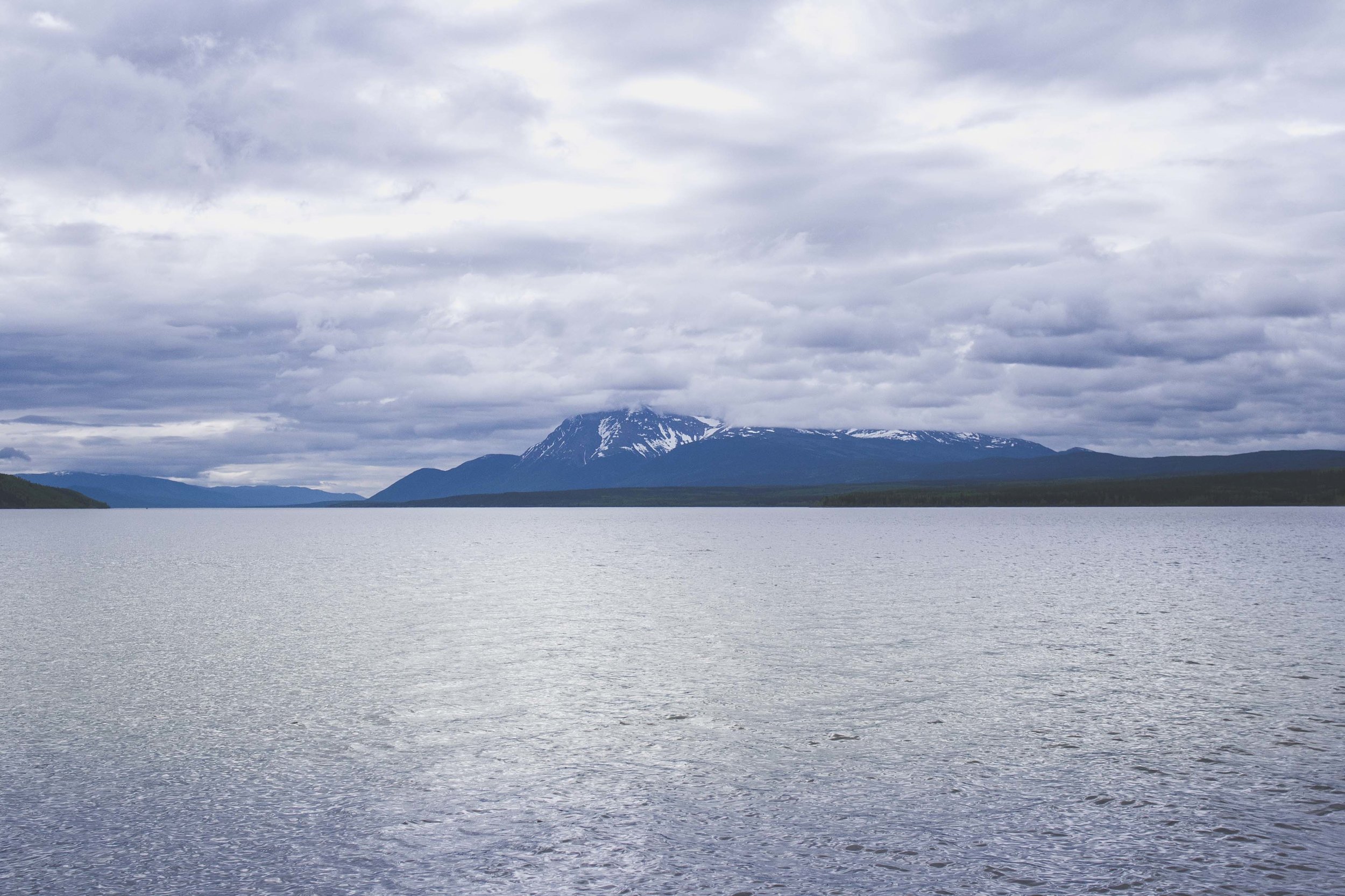
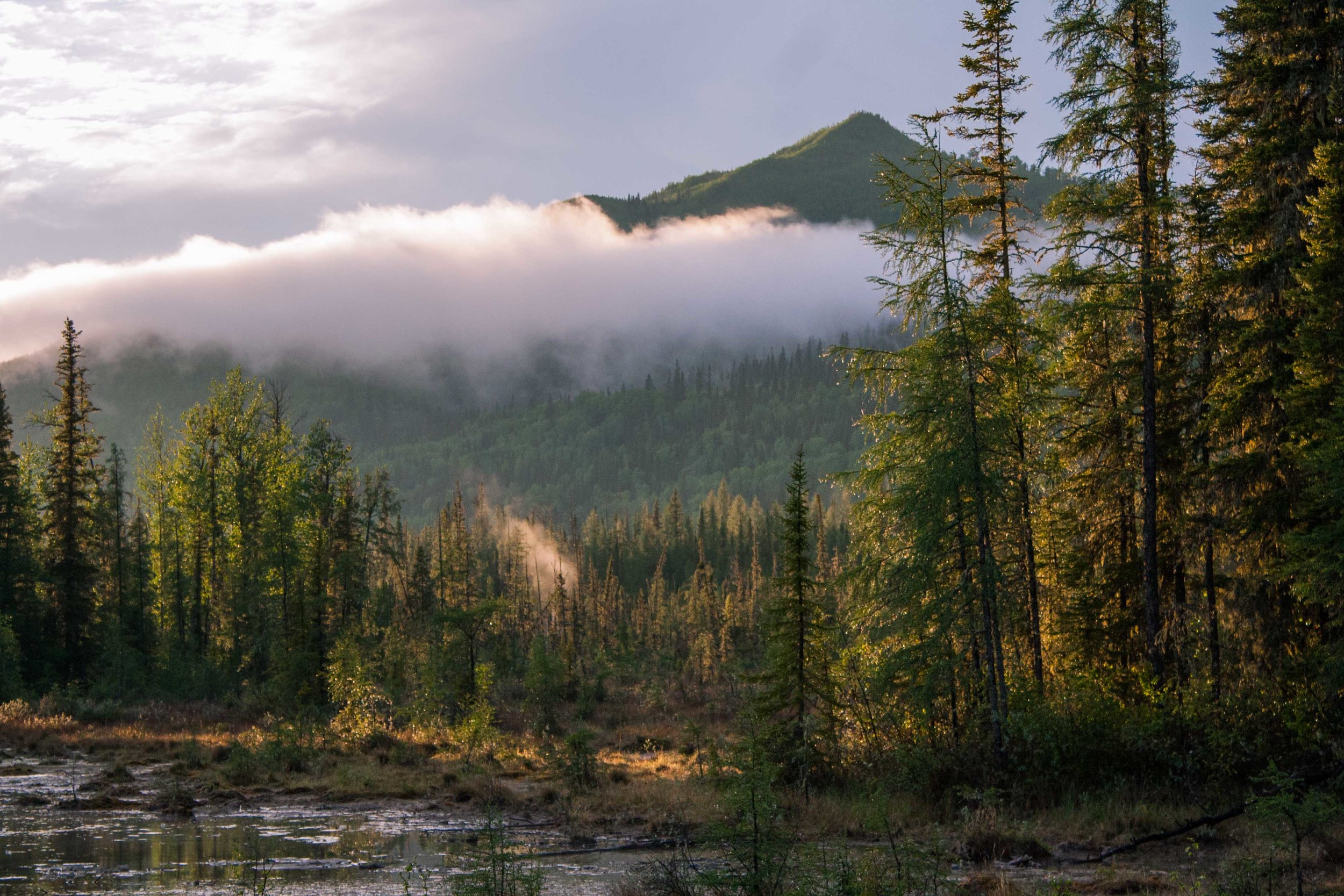
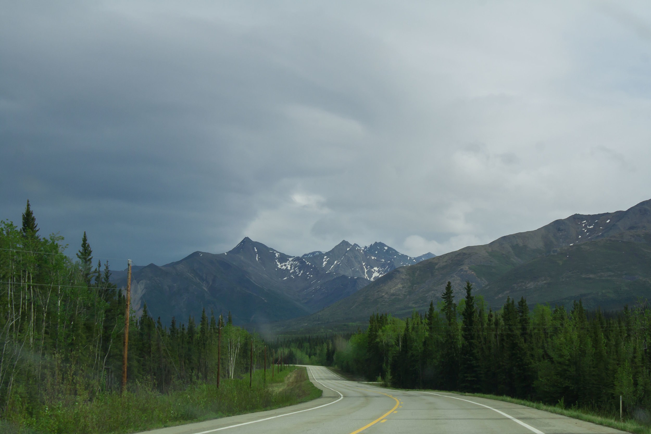
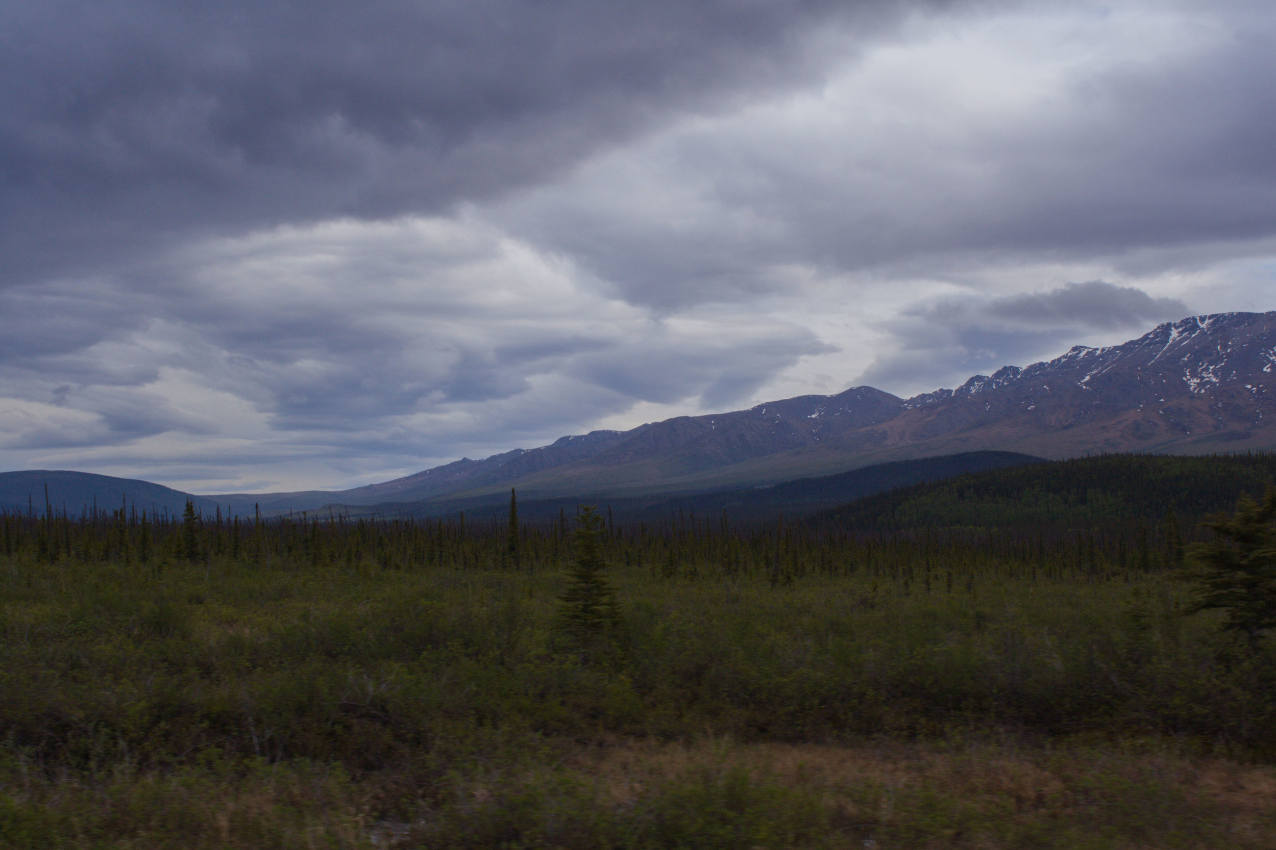
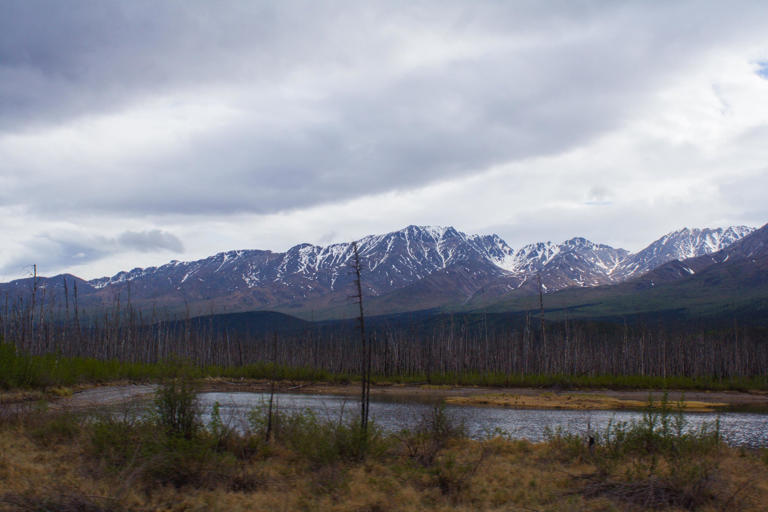
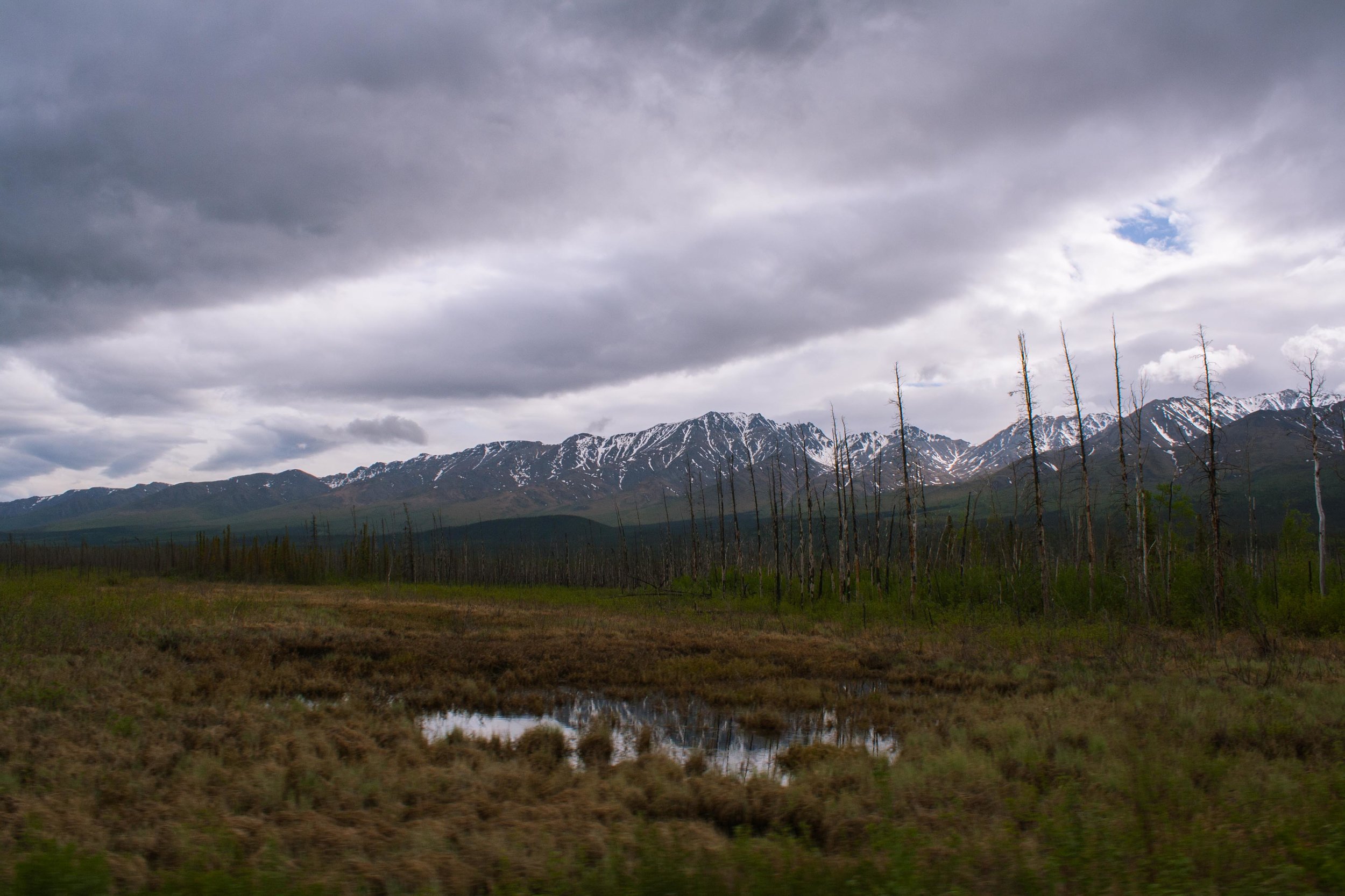
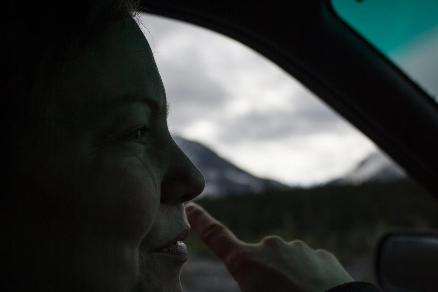
I rarely drive, but on a roadtrip like this there is no getting out of it. It is especially hard if you are seeing amazing views out the window. And there were plenty of times I instructed W to take some pictures. With mixed results. This also resulted in less photos of course. But the landscape still amazed us. The Rocky Mountains spread out into the west, but the coming hours we were going to move away from these mountains for a little bit. We would get plenty of views of the Canadian Rocky Mountains in the days ahead. Just like in the US, the Canadian Rocky Mountains are spectacular..


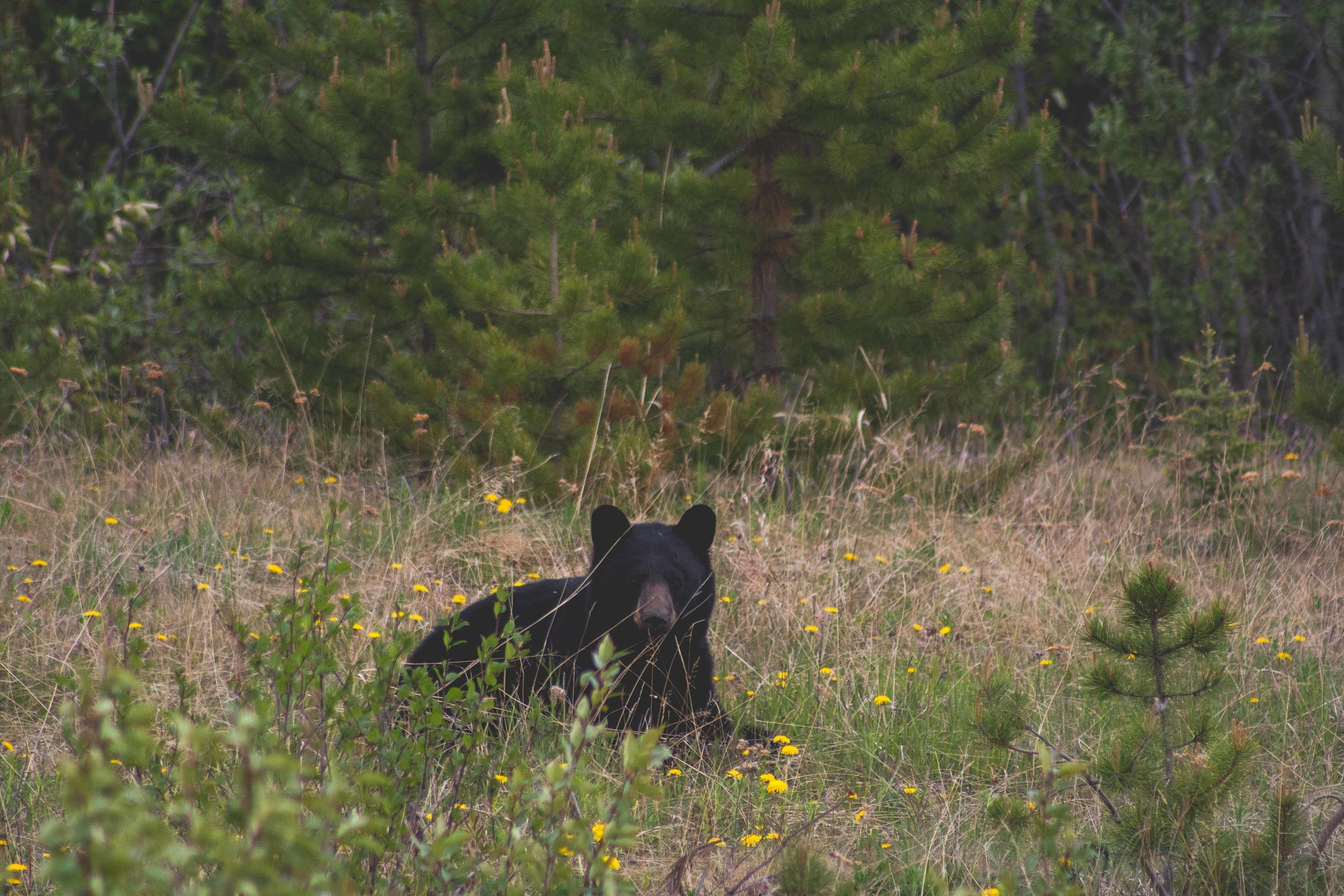
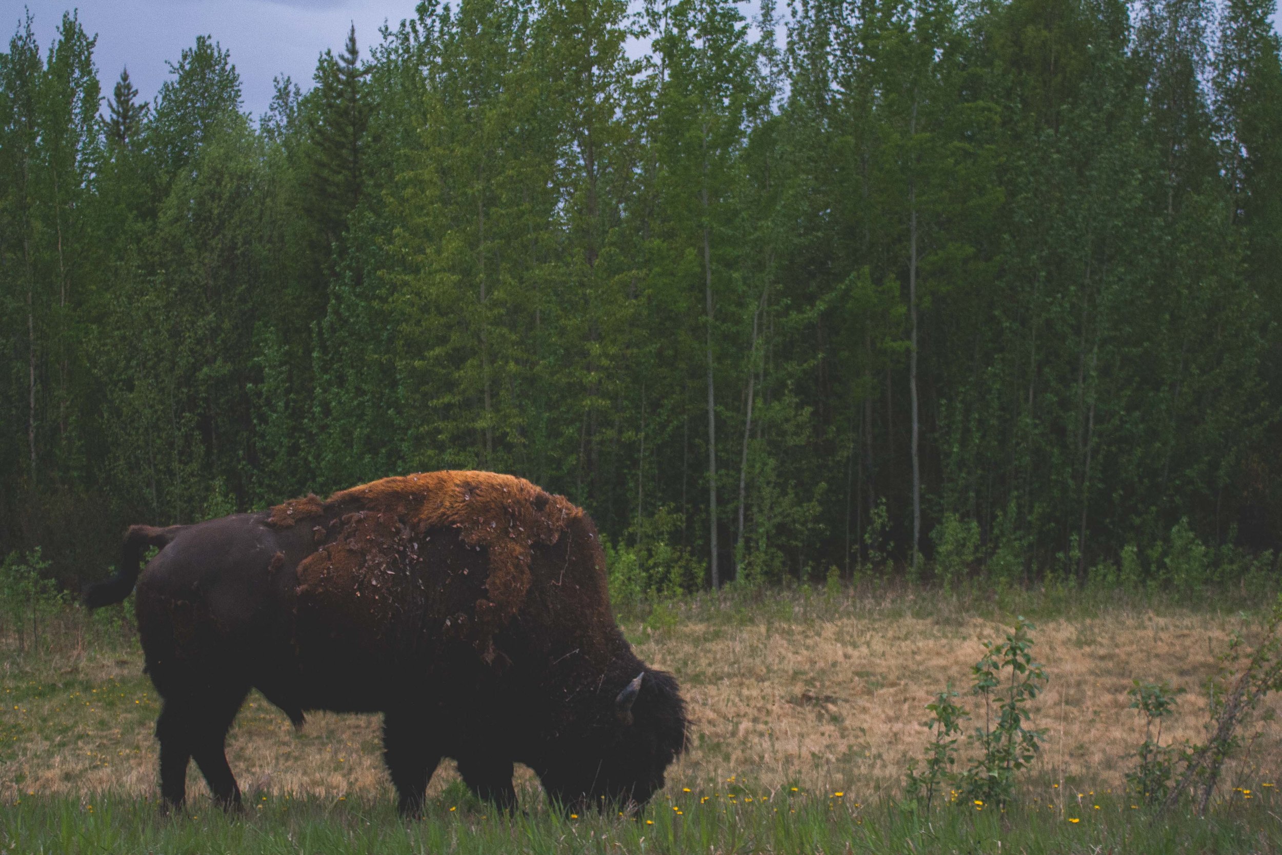
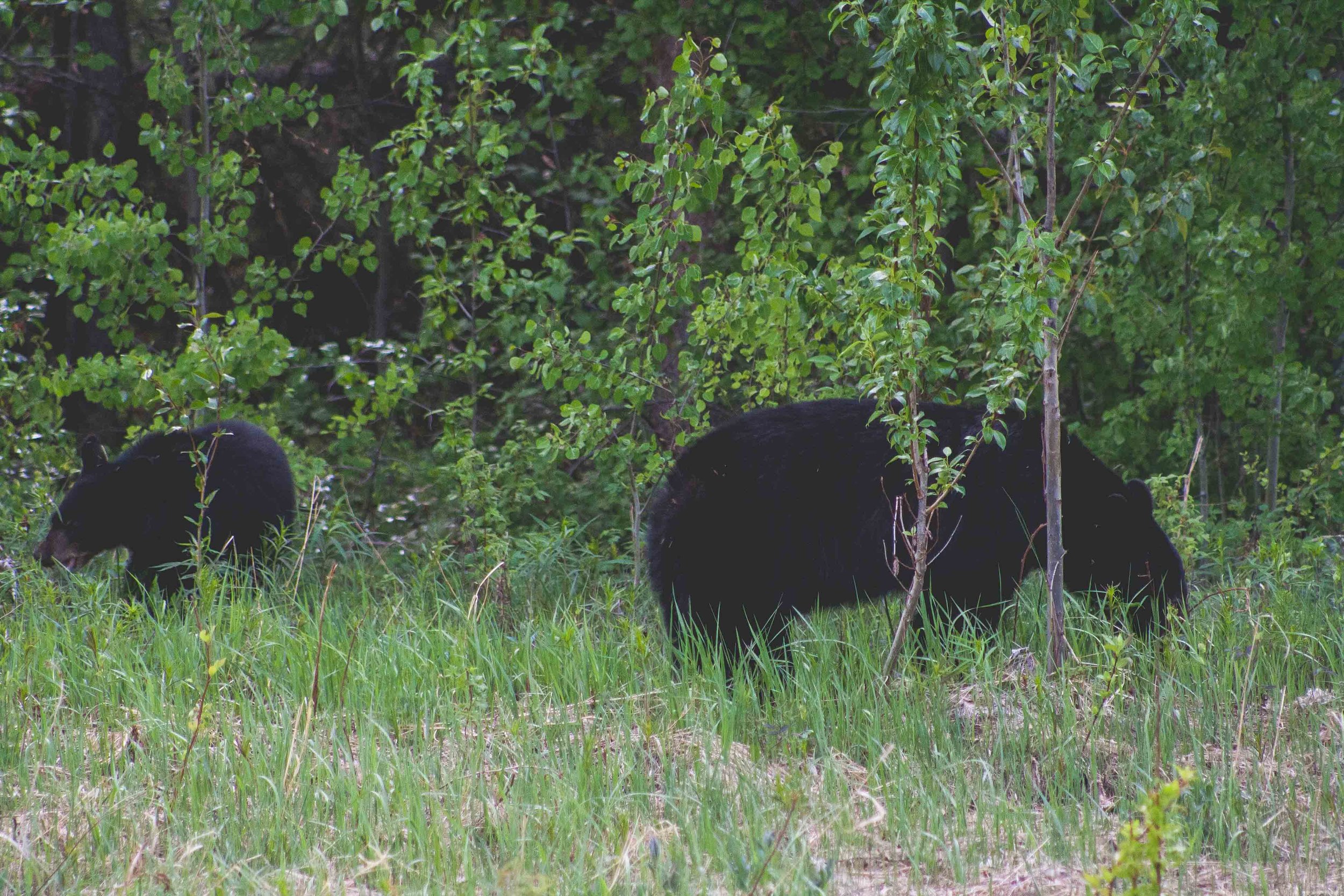
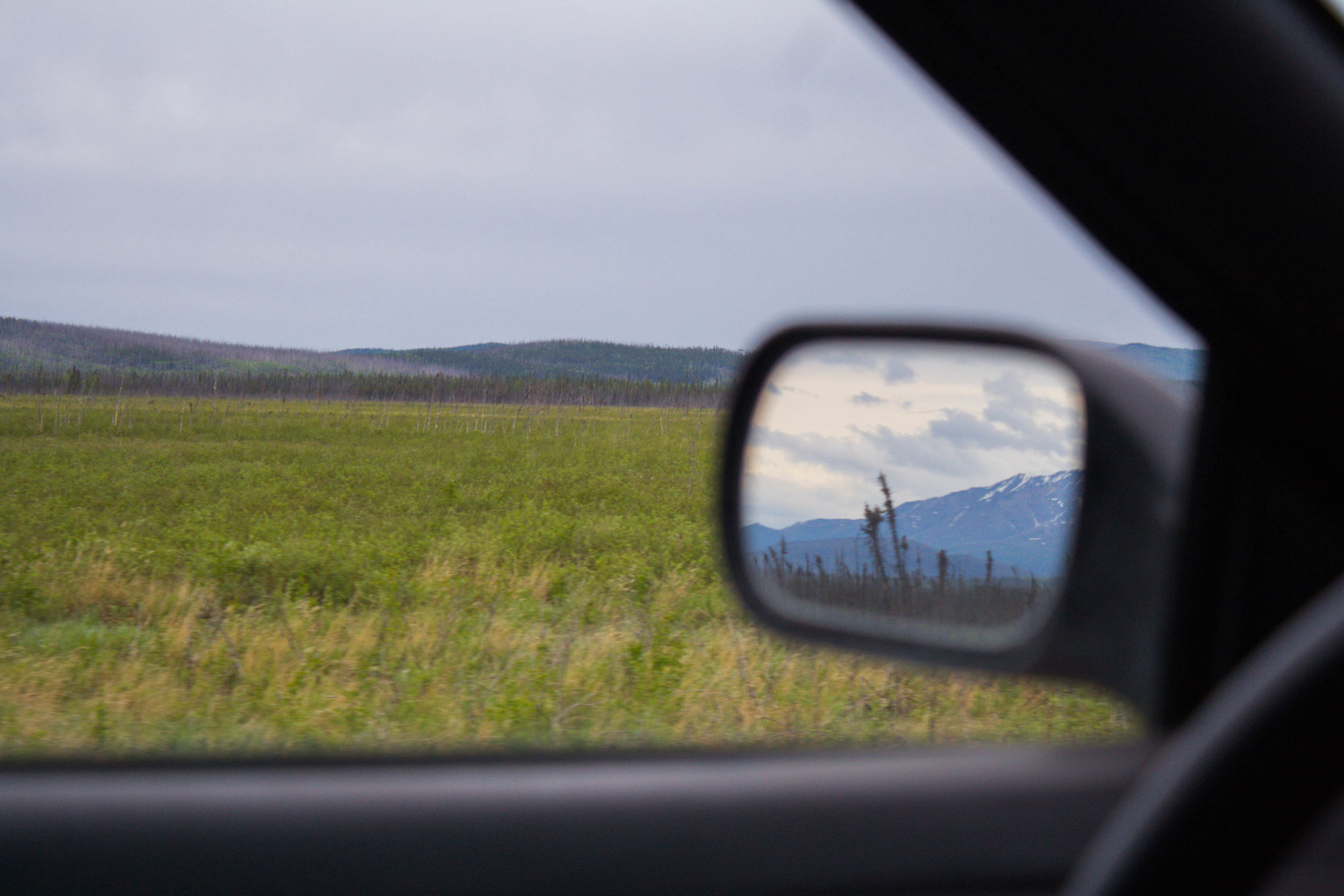
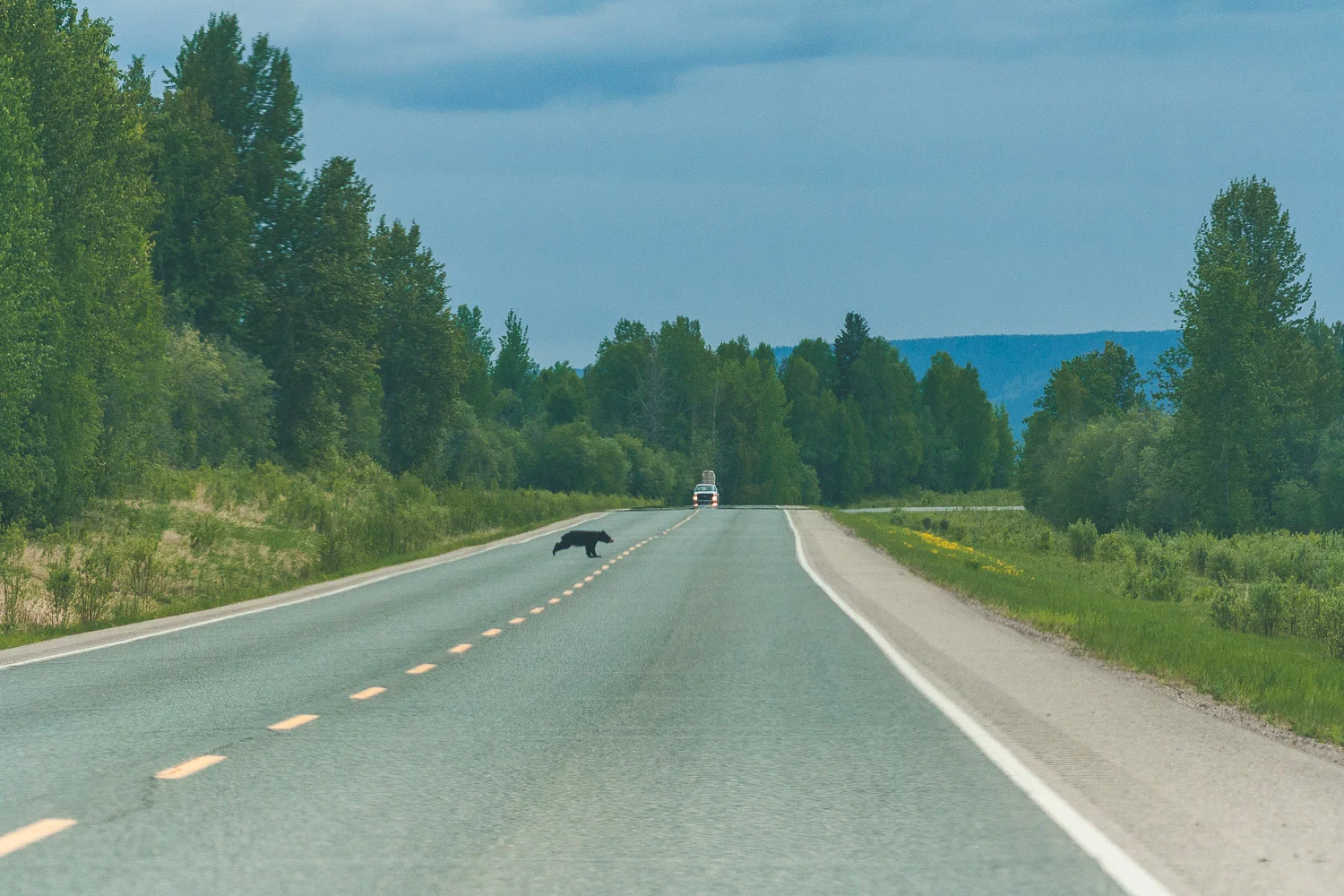
The area south of the Northern Rocky Mountain Provincial Park has more wide open spaces and less mountains. We were still driving on wide roads though, and seeing the regular black bear crossing the road or by the side of the road from time to time.


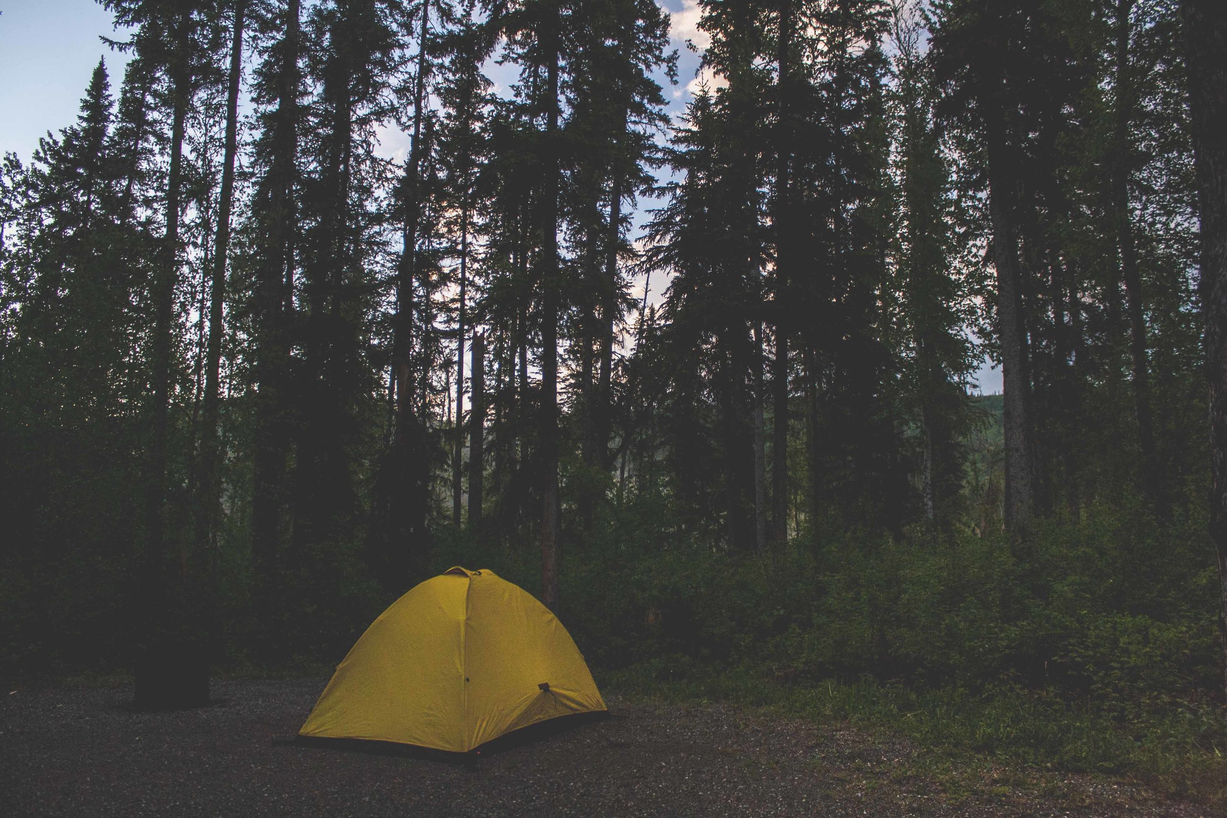
Saskatoon Island Provincial Park
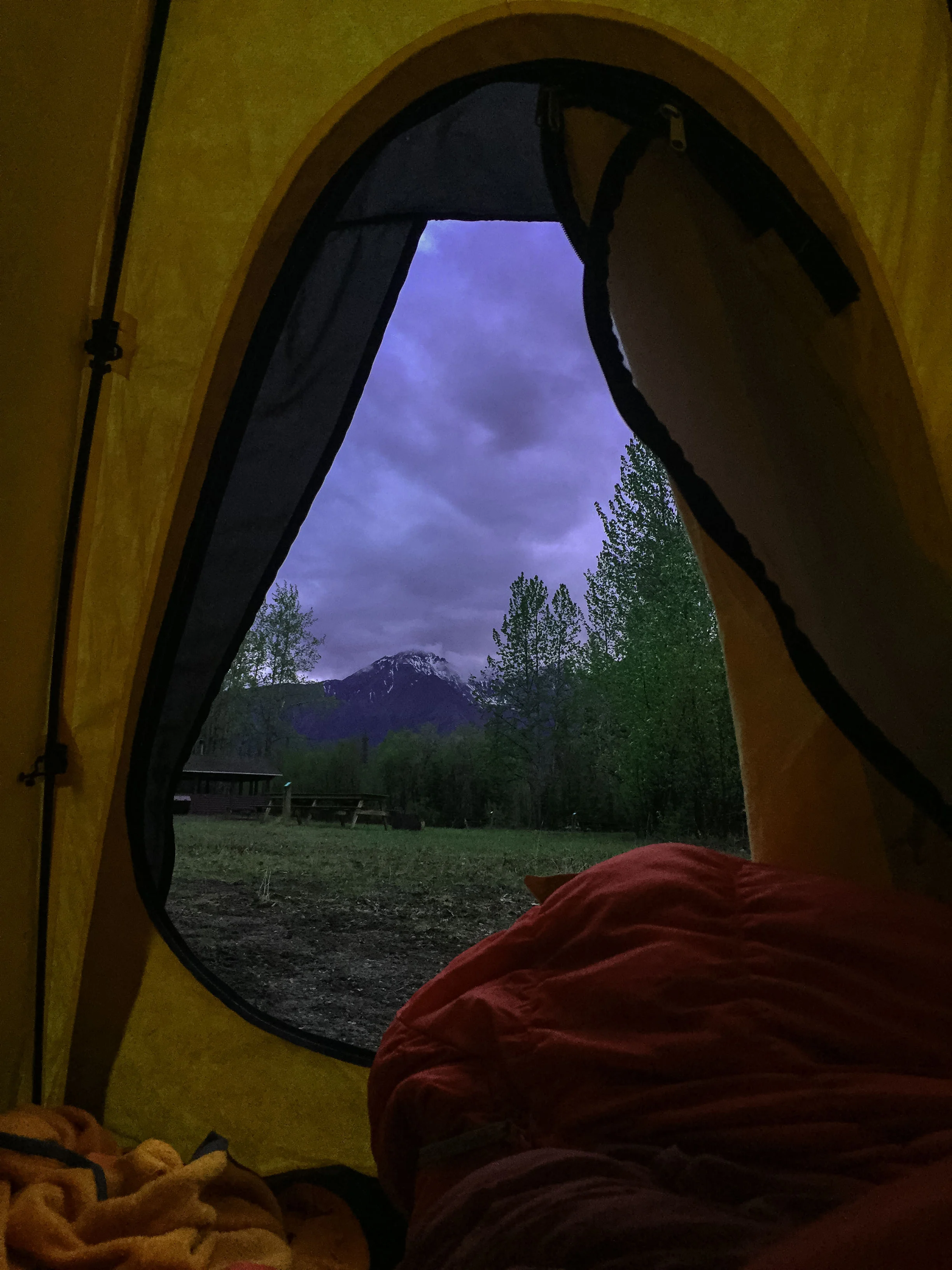
After 558 miles of driving we arrived at the smallest provincial park we could find, Saskatoon Island Provincial Park. The rain had stopped long time ago and we went for a walk to get some of the free firewood that most of these parks in Canada provide for free. It was late, we could hear other campers talking about the drive they had done so far. They had come from the south, driving north towards Alaska. They still had all of the wilderness and the Yukon ahead of them, and we, we had all of Banff and Jasper ahead of us. We sat by the fire a bit before we too finally went to bed.


Day 4 trip Details - Gas, Camping, and gas mileage:
Canada: Petro Canada Bluebell inn. Fort Nelson, BC, 200.7 miles from Liard Hotsprings. Gas mileage: 24.64 miles/gallon
Canada: Blueberry Esso. Mile 101 Alaska highway, Wonowon, BC, 184.1miles. Gas mileage: 26.58 miles/gallon
Total driving on day 4, about 384.8 + 173 miles from Wonowon gas station to Saskatoon Island Provincial Park (557.8).
The grand total of the whole trip: 1403.1 miles
Campground: Saskatoon Island Provincial Park, AB