Posts tagged #Alberta

The Ultimate Roadtrip pt.5

IMG_8661-May 25, 2016.jpg

It’s like Alaska on Steroids

DAY 5, 05/25/16: Saskatoon Island Provincial Park to Pocahontas Campground

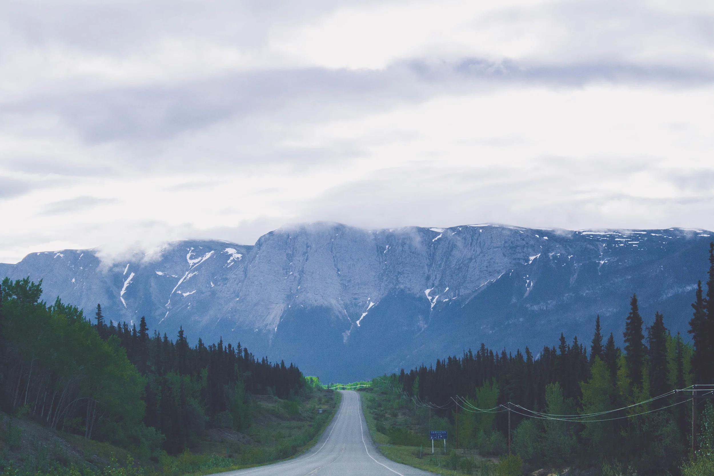
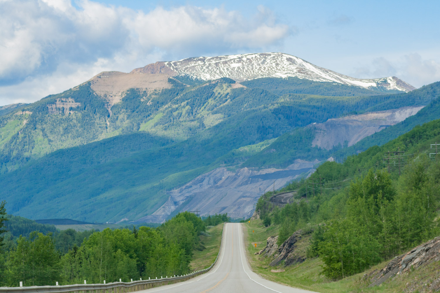
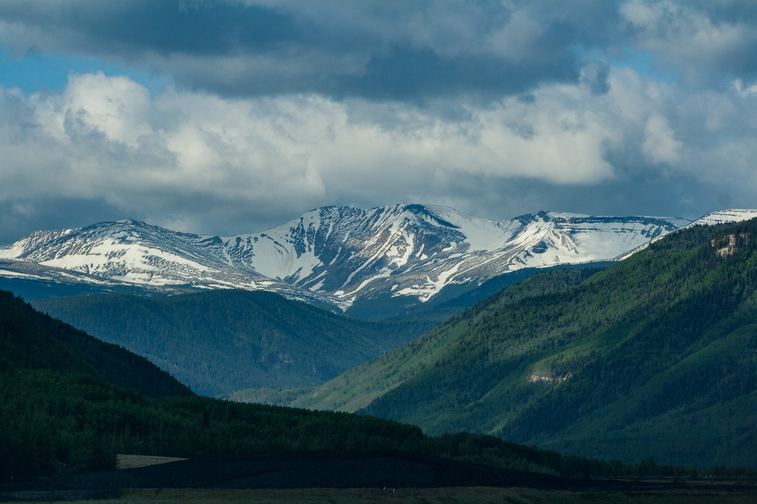
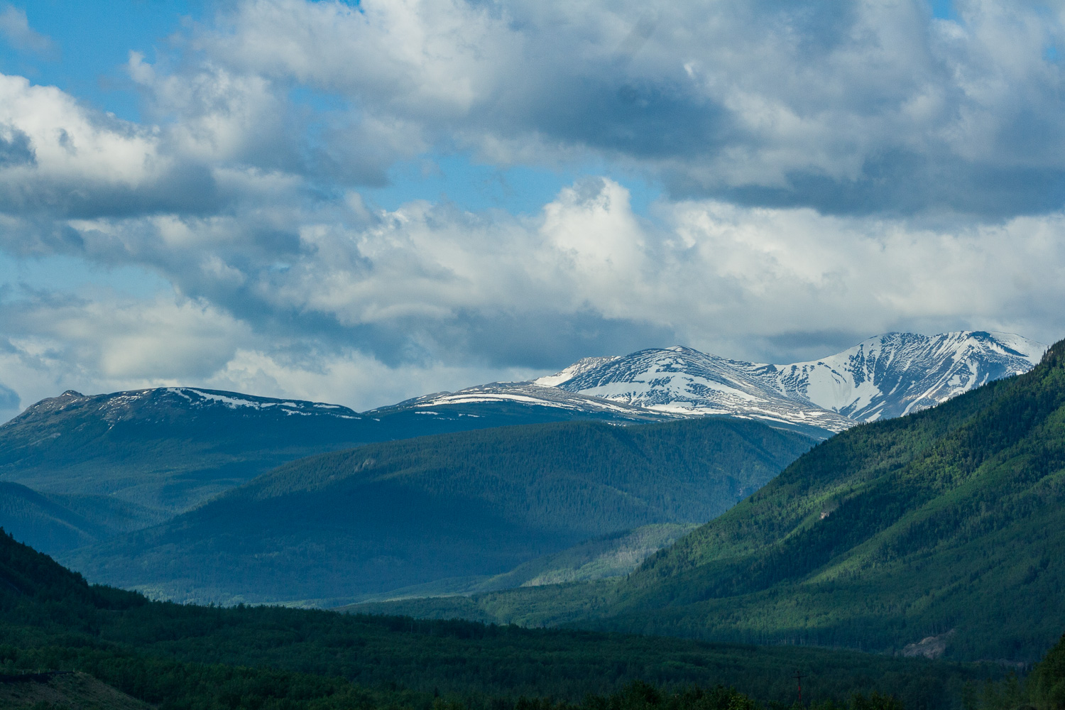
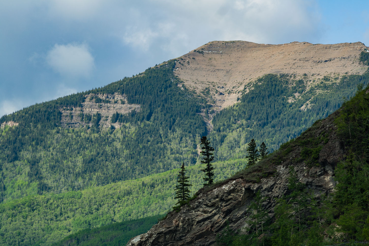
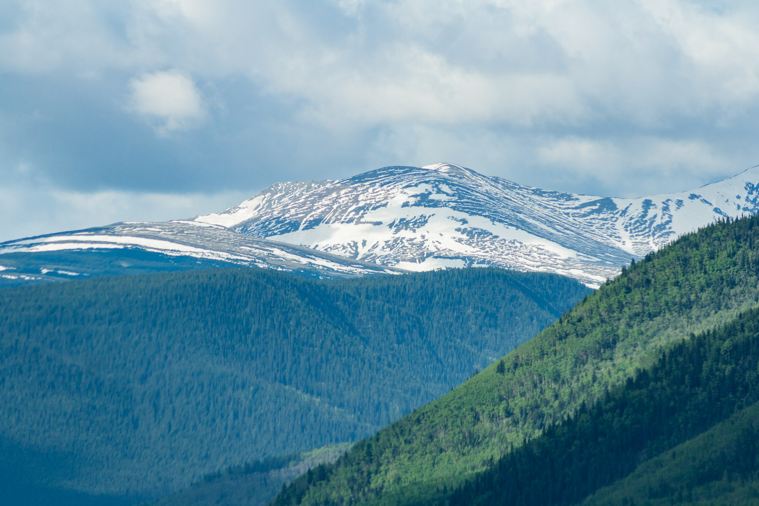
Before I moved to Alaska a Swedish friend who lives there told me that Alaska is like Northern Sweden on Steroids. Well here we were, our fifth day of driving, and I could never have imagined that the views would get even better than what they had been. At one point I looked out the window and told W, I am saturated, saturated of mountains. I said, I can’t take it any longer as I put down the camera on my lap and just stared at all these magnificent views. If Alaska is like northern Sweden on steroids, Western Canada is like Alaska on Steroids. These two coming days we were going to drive fairly long stretches, but we also wanted to explore the national parks a little bit.

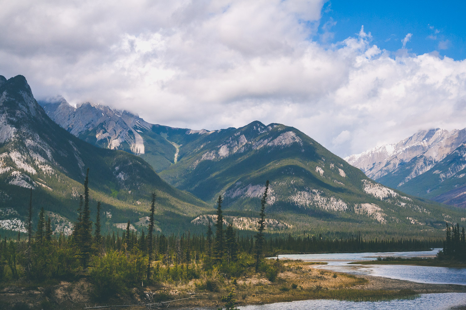
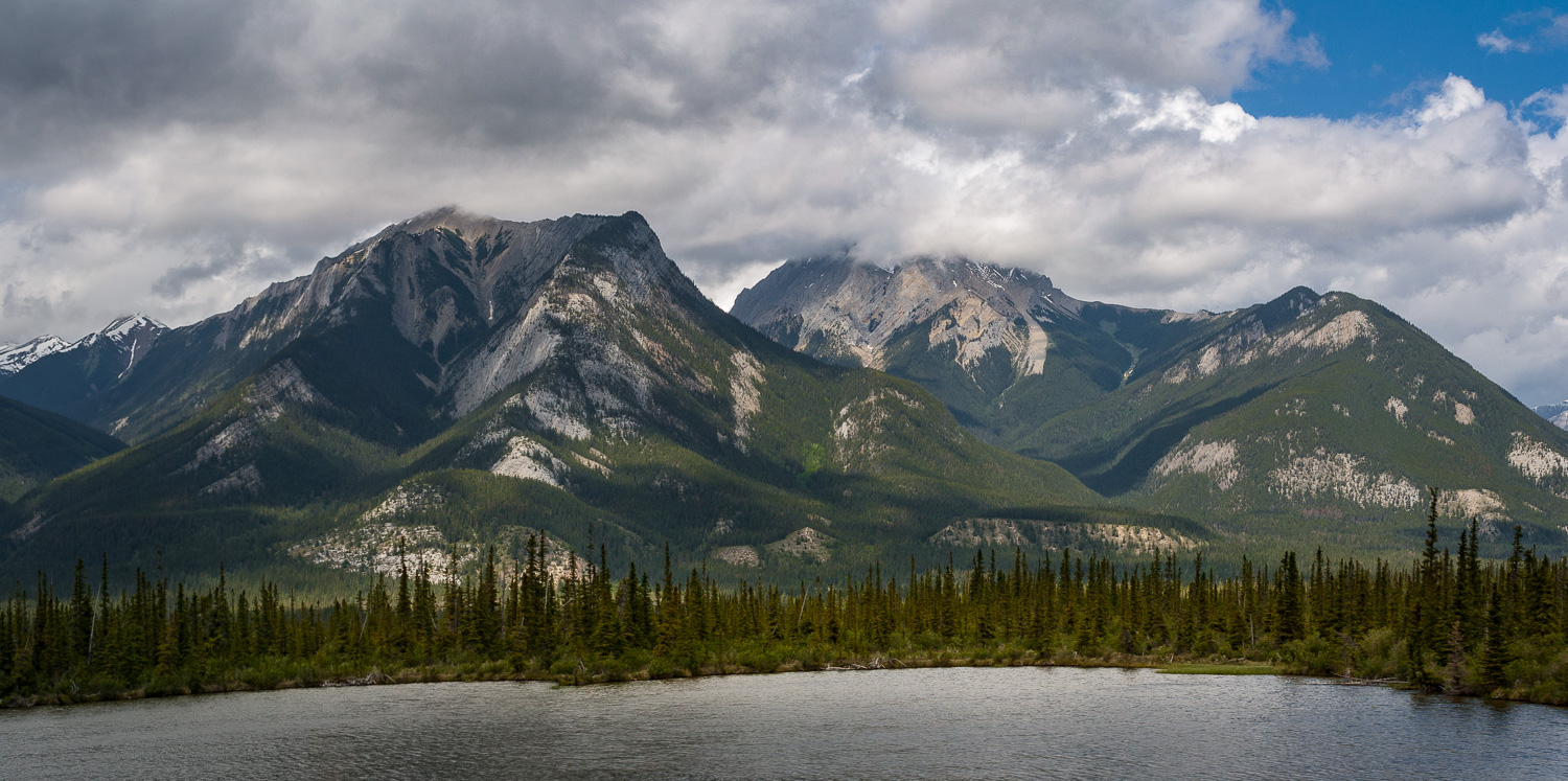
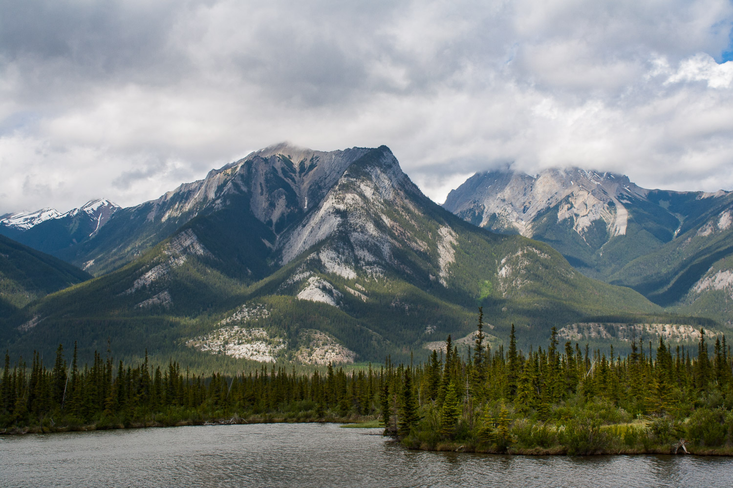
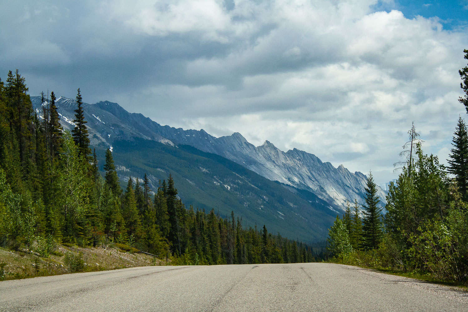
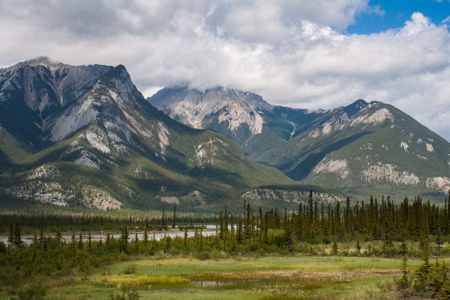
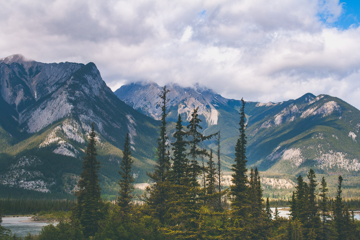
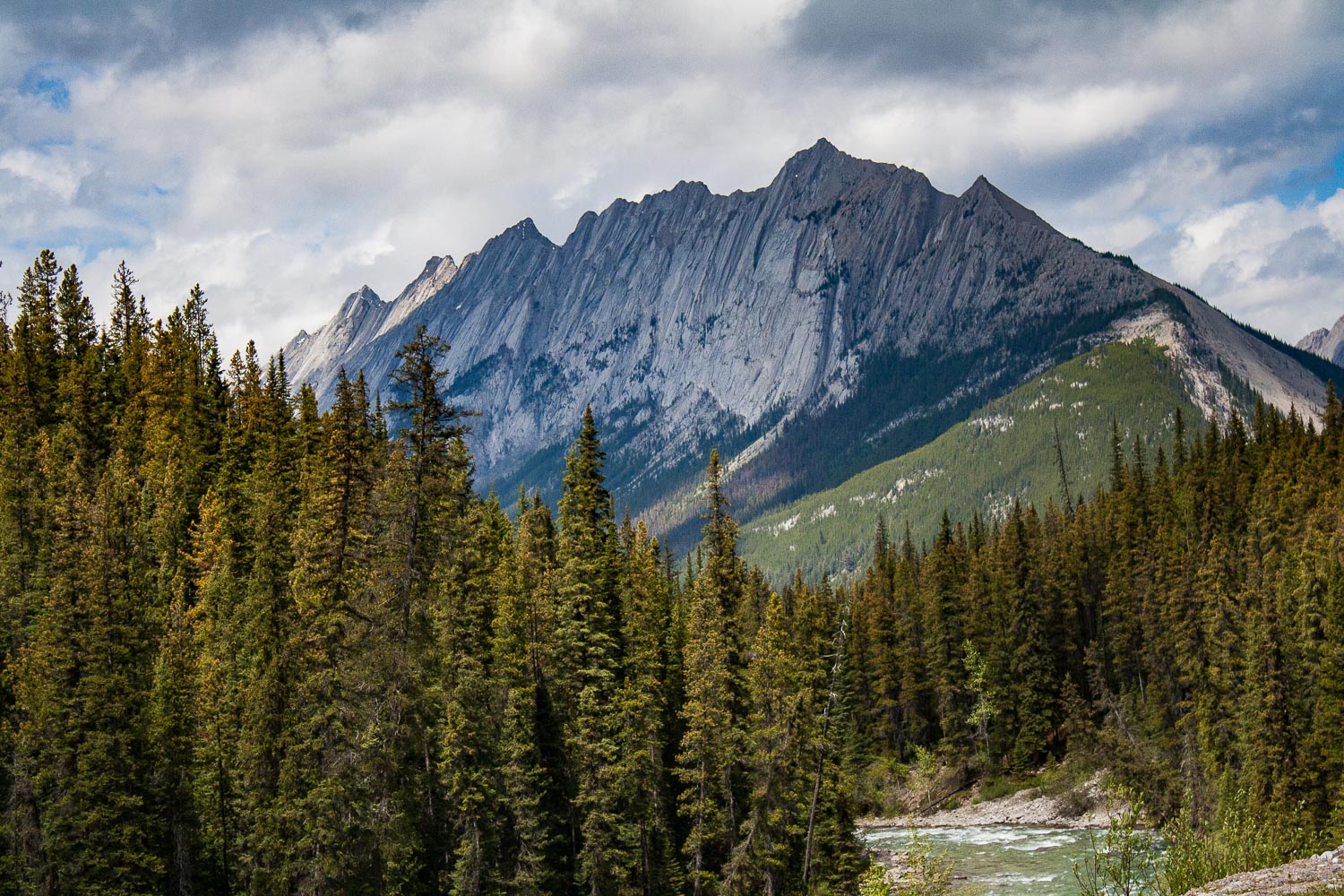
We were on the road before 8 am and I think we started to get tired by now. Day five, on our roadtrip. Last time we showered was at Liard Hotsprings, but that didn’t bother us as much as sitting still in a car. Luckily we were on our way to two incredible national parks in Canada, Jasper and Banff. Our drive was going to be short today (well, everything is relative right?), because we were finally gonna stretch our legs and conquer a mountain! After about 4 hrs of driving through a wide open landscape that slowly took us closer and closer to the mountains we were now entering Jasper National Park. As you enter Jasper the road immediately takes you into the mountains, and the views are just out of this world. I don’t know of any other place like Jasper and Banff. When you cross the Athabascan river, driving south on the Yellowhead Highway the views are just out of this world. I know I keep using the same adjectives, spectacular, incredible, out of this world, but if you have ever been here I am sure you would have a hard time not to overuse all of these describing words too.

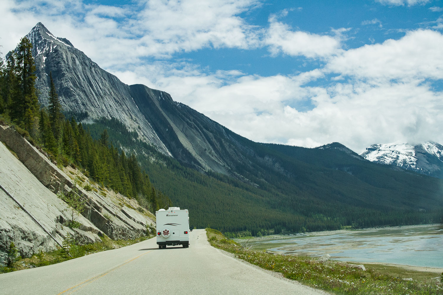
Driving through Maligne Canyon

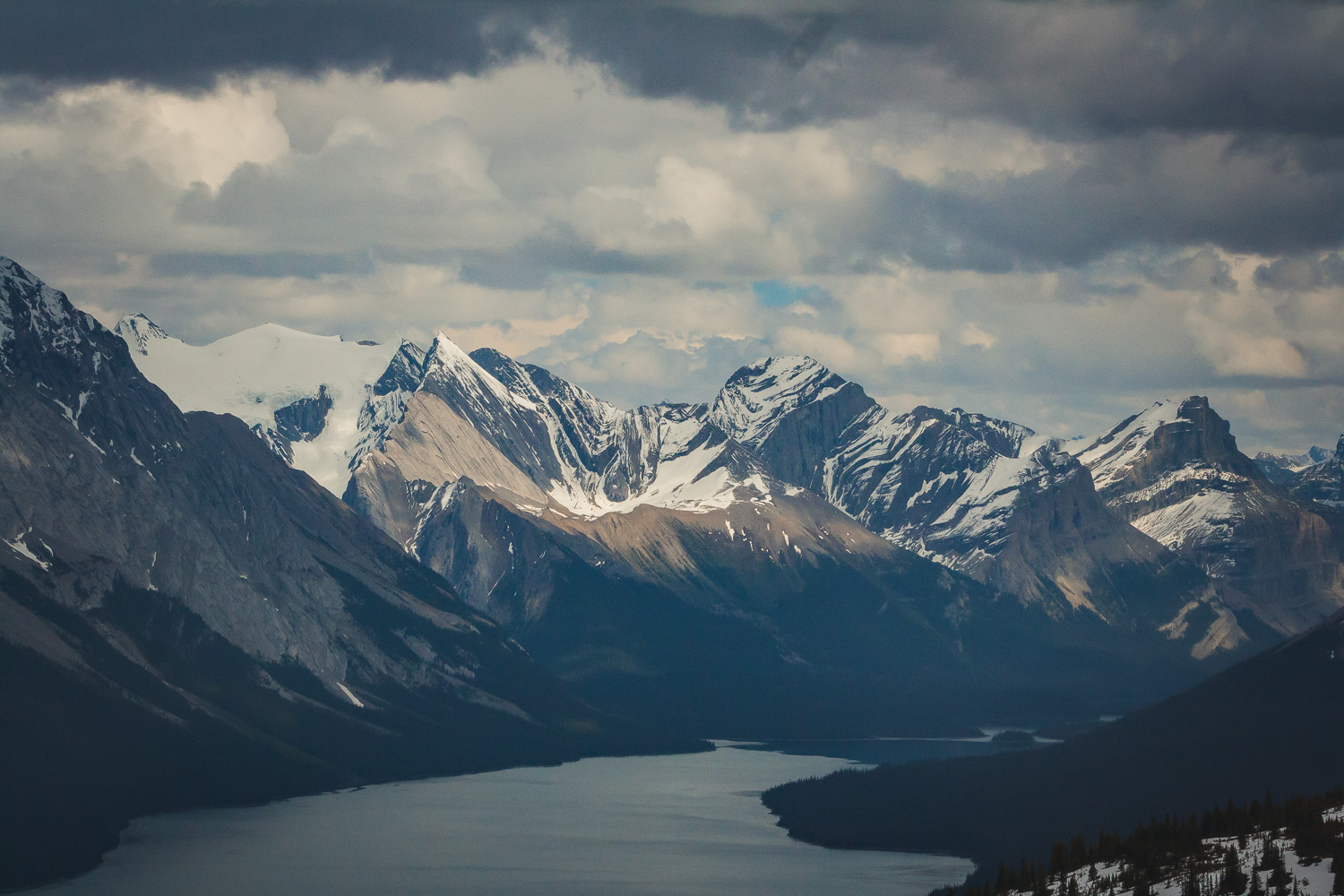
The views of deep forest, lakes and mountains could be seen in all four directions. It was hard to know where to look at times, and I wanted to stop at every pullout, which we of course did not do. We would probably still be there if I could have gotten it my way. But, we were finally going to hike, so I was super excited about that. We drove towards Maligne Lake because that is where the trail head to Bald Hills is located. We passed the Medicine Lake and drove along fire scarred forests and majestic mountains. Bald Hills summit is a 13.2 km out and back hike, that offers spectacular views. Again the weather was sunny now, but there were clouds on the horizon. I really do not know how we always manage to pick a hike where we see absolutely no other people.

Bald Hills Summit Trail

This trail first takes you through the deep forest, crossing streams and slowly going up in elevation. When you are so far up in elevation that mountains and lakes start appear through the gaps between the large trees that surrounds you. Eventually you break out from the forest and step out into the alpine vegetation, because now you are more than 2,000 meters above sea level.

Up above the treeline

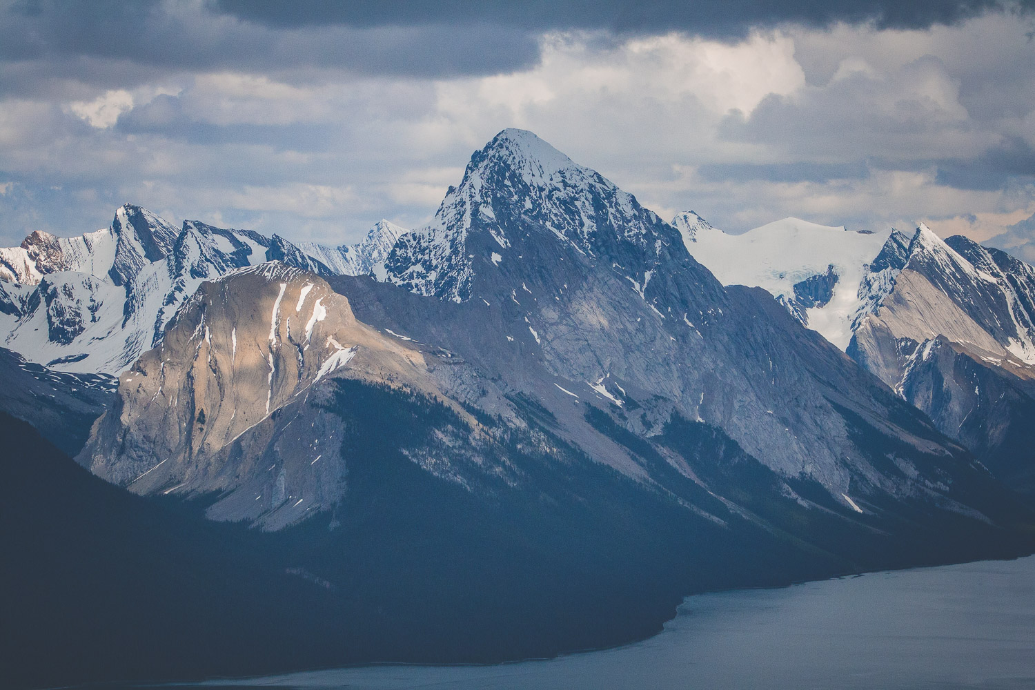
Eventually we broke through the treeline and ended up in a field of snow. It was indeed late May, which in the mountains still mean snow. And the mountains, those mountains wherever you turned your eyes. The last part of the trail is fairly steep, and we were walking through some very deep snow. From the top of the Bald Hills summit you have 360 degree panorama views of the Canadian Rocky Mountains. From the top you can also see Maligne lake, the lake we could spot through the trees earlier. Of course with the rain constantly haunting us we managed to see a wonderful full rainbow over the mountains.

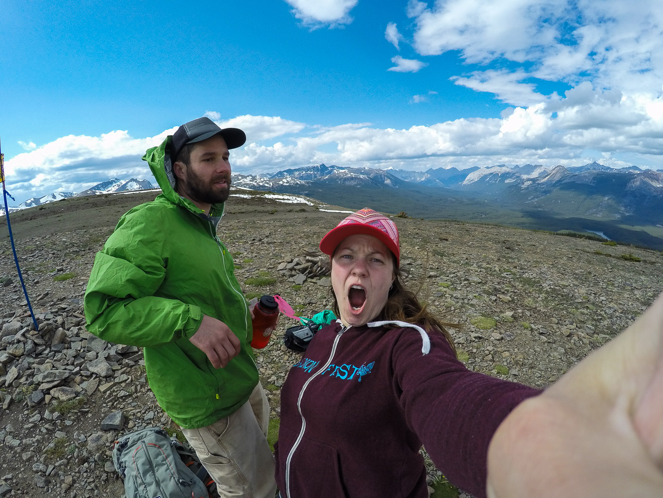
Of course we had to take a few selfies in the mountains too! On the way down we played around in the snow a bit until we reach the trees and the forest again. We had such a good luck with the weather, but as always the dark clouds were coming towards us, and we got in a hurry to get off the mountains before the rain came.

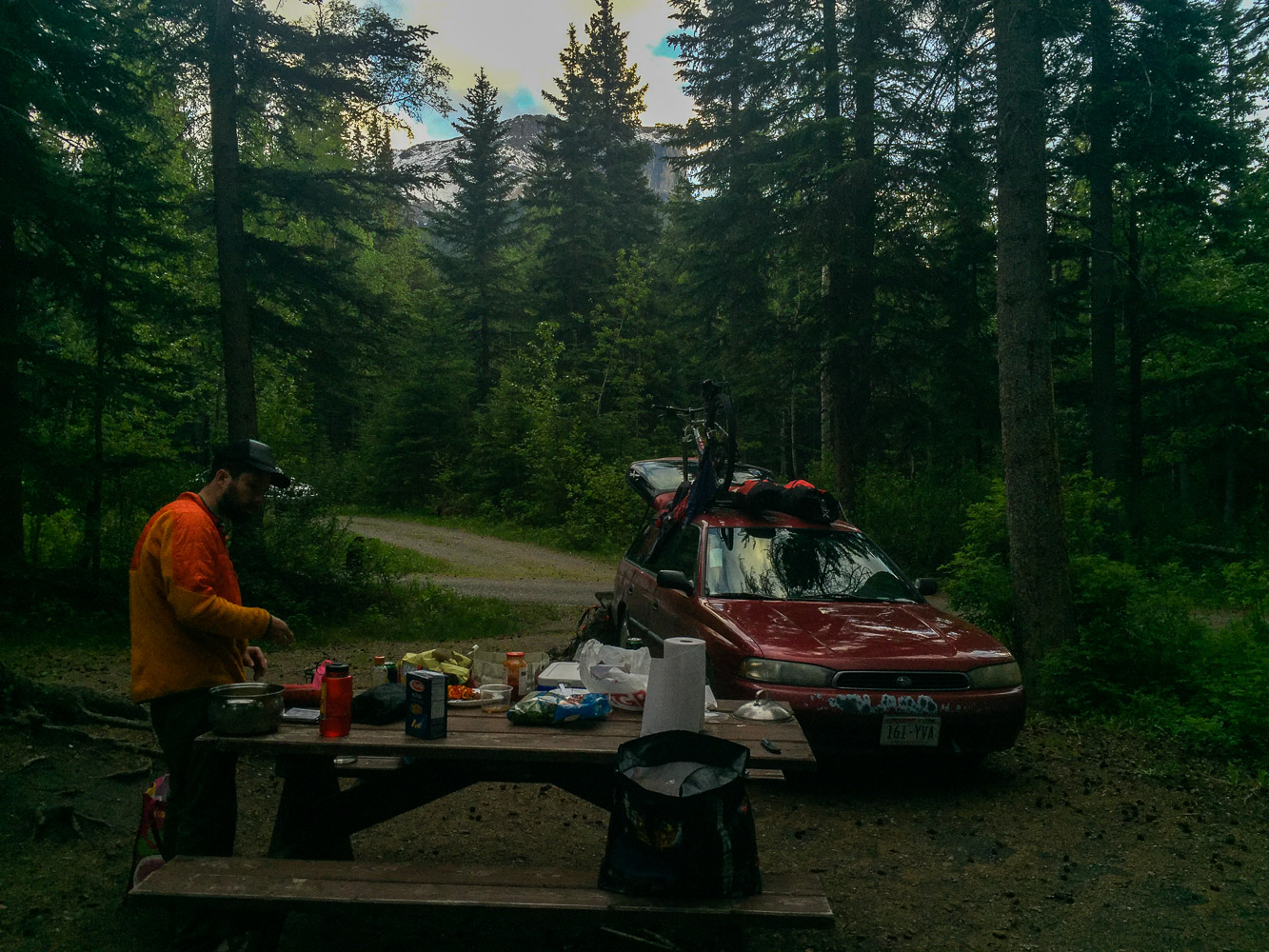
When we were done with the hike we went and got a camping spot. We didn’t want to drive too far after the hike so we had picked out a campground fairly close to the hiking trail, Pocahontas Campground. We had been worried about finding a spot, since it seemed like there were so many tourists around, well on the road, and not on the hike of course. But when we finally got to the campground, it was completely empty, of course. I immediately realized that we had reach civilization when I saw the soda vending machine by the bathrooms at the campground.

Day 5 trip Details - Gas, Camping, and gas mileage:

  • Canada: Shell Canada Grande Praire AB. 18.5 miles from Saskatoon Island Provincial Park. Mileage 25 miles/gallon

  • Canada: Petro Canada Jasper AB. 250.8. Mileage 24.49 miles/gallon

  • Total driving on day 5, about 269.3+ 29.9 miles from gas station to Pocahontas Campground (299.2).

  • The grand total of the whole trip: 1702.3 miles

  • Campground: Pocahontas Campground, AB

Fuzzy Animals in Canada and the US

Roadtrip

Today we are hanging out in Bozeman and taking a break from being in the car. So far on the way we have seen:

  • 3 Grizzlies, one mama with two cubs (probably less than a week old)

  • 10 Blackies, including one cub

  • A couple of Mountain Goats

  • A couple of Bison

  • one Fox

  • A couple of Deer,

  • one Antilope

  • A couple of Elk

  • one Colombian Ground Squirrel

Tomorrow we will continue our journey through Yellowstone and then towards my new Home with W in Madison, WI. 

We need to talk about Climate Change pt. 1

Climate Change

    I guess no one has missed the news about the fires yes FIRES as in multiple large fires raging in Canada right now. This is not that unusual, not even here in Alaska. Last year about 5 million acres burned, and a lot of times people do not realize how many fires we do have in Alaska every summer. Most fires burn in the middle of nowhere and don't affect us per see. But when these fires are coming closer to our towns we are bound to see a disaster.

    Jag antar att ingen har missat att det är flera bränder som just nu härjar i Kanada, den värsta i Fort MacMurray. Det är inte ovanligt med stora och många bränder, även här i Alaska. Förra året brann cirka 5 miljoner hektar, det är ungefär nästan lika stor yta som Norrbotten i Sverige. De flesta här i USA (och i andra länder också förstås) förstår inte hur många bränder vi har här i Alaska varje sommar. De flesta bränder brinner dock mitt ute i ingenstans, och påverkar således inte oss människor. Det är när dessa stora bränder kommer närmare bebyggelse och städer som katastrofen är ett faktum.

“People don’t fathom how big Alaska is. You can have a 300,000-acre fire, and nobody knows anything about it, because nothing’s been done about it, because of where it is,” says Tim Mowry, spokesman for the Alaska Division of Forestry.

Fire

    In the science community it's no news that the fires are getting larger, more frequent and also more severe. Projections into the future are showing that this will continue during the 21st century. Alaska is experiencing the greatest increase in air temperature compared to the lower 48. This past winter season we broke so many climate related records that I actually feel a bit worried, however, this might not mean that this will be the future, but it definitely gives you something to think about. Like Alberta Canada, our winter season was very mild and we also did not receive as much precipitation (snow) as we usually do. This spring here in Alaska has also been really warm, not as warm as in Fort MacMurray which experienced temperatures closer to 90℉ when the "normal" temperature usually lies around 55℉. The combination of dry spring, warm weather and the fire prone spruce forest makes for a perfect match, literally a match that will burn until there is nothing left to burn, or an intense rainstorm hits. At this point the fire fighters that are fighting the fire in Fort MacMurray and the surrounding area have said that they will not be able to stop this fire. 

    Det är inte direkt någon nyhet  bland forskar världen (inom ekologi) att bränderna blir större, mer frekventa och även mer intensiva. Prognoserna pekar alla åt samma håll, detta kommer fortsätta under detta århundrade. Alaska är ett område som är ett av det hårdast drabbade när det gäller temperatur ökningen jämfört med resterande USA. Den här vintersäsongen så har vi slagit rekord efter rekord, det är inte hundra procent säkert att detta kommer fortsätta in i framtiden men det får en som sagt att tänka över situationen och att i mitt fall bli lite orolig för vad framtiden har att ge. Precis som i Alberta, Kanada, så har denna vinter vara oerhört mild med lite snö. Våren har även varit väldigt varm, inte lika varm som i Fort MacMurray, där temperaturen har hållit sig runt 32℃, att jämföra mot den "normala" temperaturen runt 13℃. Kombination av en torr vår, varmt väder och den brand benägna granen har skapat ett inferno utan dess like. Just nu så brandexperterna talat om att denna brand kommer inte att kunna släckas utan en intensiv regnstorm. 

Fairbanks

    The other day I was thinking, this could be Fairbanks, but then I thought, neeh, we don't have that many spruce trees in fairbanks do we? Later that evening I drove by one of the lookouts from campus and stopped to see the view and quickly realized that what happened in Fort MacMurray could actually happen here. Below is an old picture from the fall I took a couple of years ago, but that is downtown Fairbanks.....and everything that is not orange is  black spruce (probably mixed in with a lot of white spruce to, which is less fire prone..)

    Häromdagen så tänkte jag "kan det här hända i Fairbanks?" men så släppte jag snabbt den tanken, jag tänkte, vi har väl inte så mycket gran i staden...eller? På vägen hem så åkte jag förbi utsiktsplatsen på universitetet. Jag stannade till och kollade ut över Fairbanks och insåg att samma inferno som pågår i Fort MacMurray skulle absolut kunna hända här också. Jag tog denna bild en höst för flera år sedan, men den visar ganska tydligt hur mycket av denna brand benägna granen vi faktiskt har i city kärnan.

    Next day US National Weather Service - Alaska posted this on their Facebook page:

    Nästa dag så publicerade USAs motsvarighet till SMHI detta meddelande på Facebook:

    How are the fires where you live? Do you have any and have you ever thought about preparedness for a potential fire disaster?

    Hur beter sig bränderna där du bor, har ni några alls? Har du tänkt på hur du kan förbereda dig inför en brandkatastrof?