Posts tagged #Arctic

Fires and Storms altered the City and what is found there now, is far from what once was there

Adventures_Nome_IMG_6863.jpg

NOME

I can almost see Russia from here

Flashback Friday

The Siberia of Siberia

This past summer I got the opportunity to fly to Nome and help out with some fieldwork there. Incredible what roads you can take once you have remote fieldwork experience and an eye for boreal and arctic vegetation. I’ve already written a post about Nome, and mainly the 4th of July celebration. Nome is a very special place, laying in the far west of Alaska with no roads leading to the small community of about 4000 people. This is not an unusual setting, many communities in Alaska can only be reached by plane. With only about 200 miles to the mainland of Russia, that is as close as I have ever been to Russia I think. The history of Nome starts with the three lucky Swedes, well, they were in fact two Swedes and one Norwegian, but same same..or? During the goldrush Alaska became a popular destination when word spread about all the gold that could be found in this remote location of the US. Alaska has not been a part of the US for that long, well everything is relative right? On March 30th 1867 the US bought Alaska from Russia, paying only 7.2 million dollar. If you have visited some of the more southern coastal cities of Alaska you might have seen many of the Russian Orthodox churches and other cultural remnants of the Russian influence. Well, maybe remnants is the wrong word to use, because there is a strong influence still in these small communities on the coast. These coastal villages were formed long before the US bought Alaska. Those remote territories have been called the Siberia of Siberia by some. The history of Alaska goes farther back than that, but that is a whole different story.

“The trail enters a cul-de-sac, climbing higher and higher. The valley seems to end; a precipitous wall of gray rock, reaching into the sky, seems to head off farther progress, seaming its jagged contour against the sky — a great barrier, uncompromising, forbidding — the Chilkoot Pass” - Tappan Adney

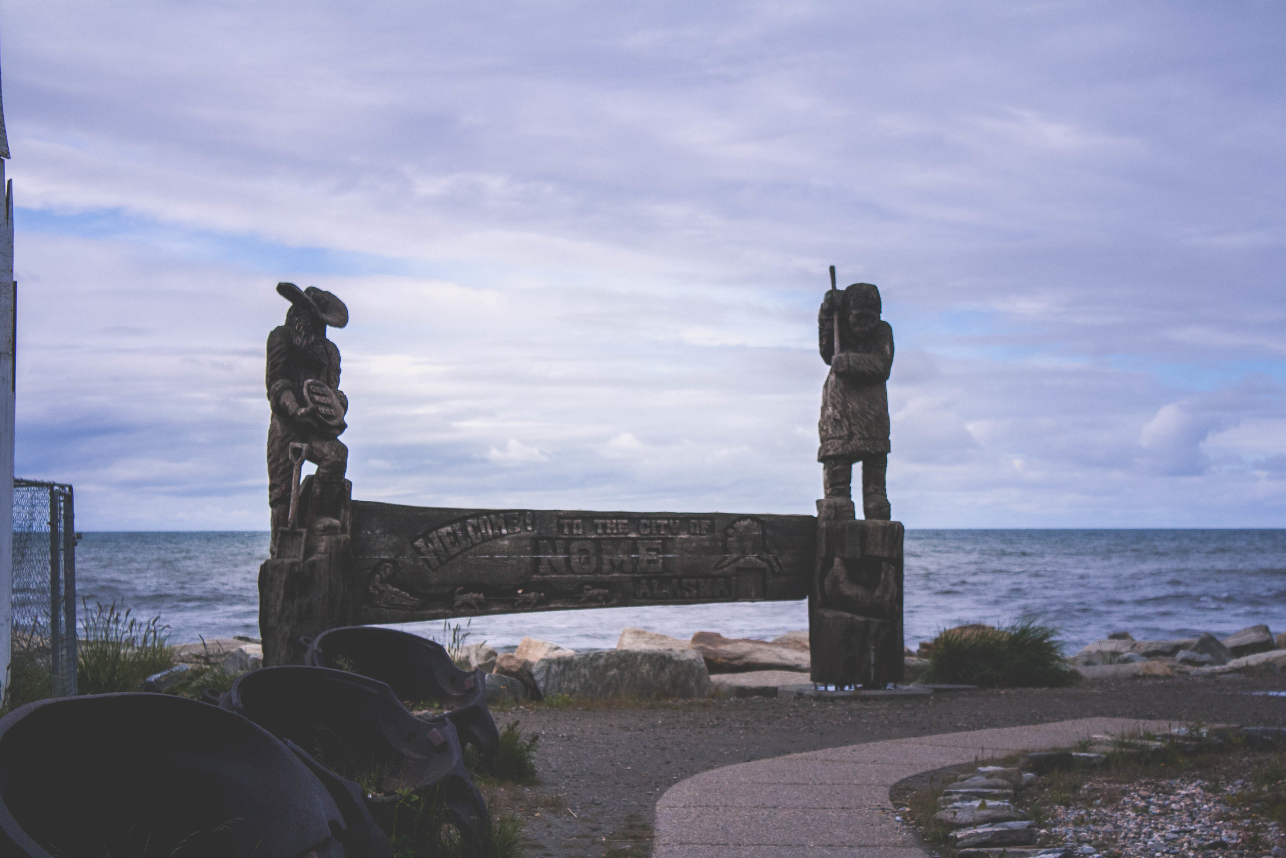
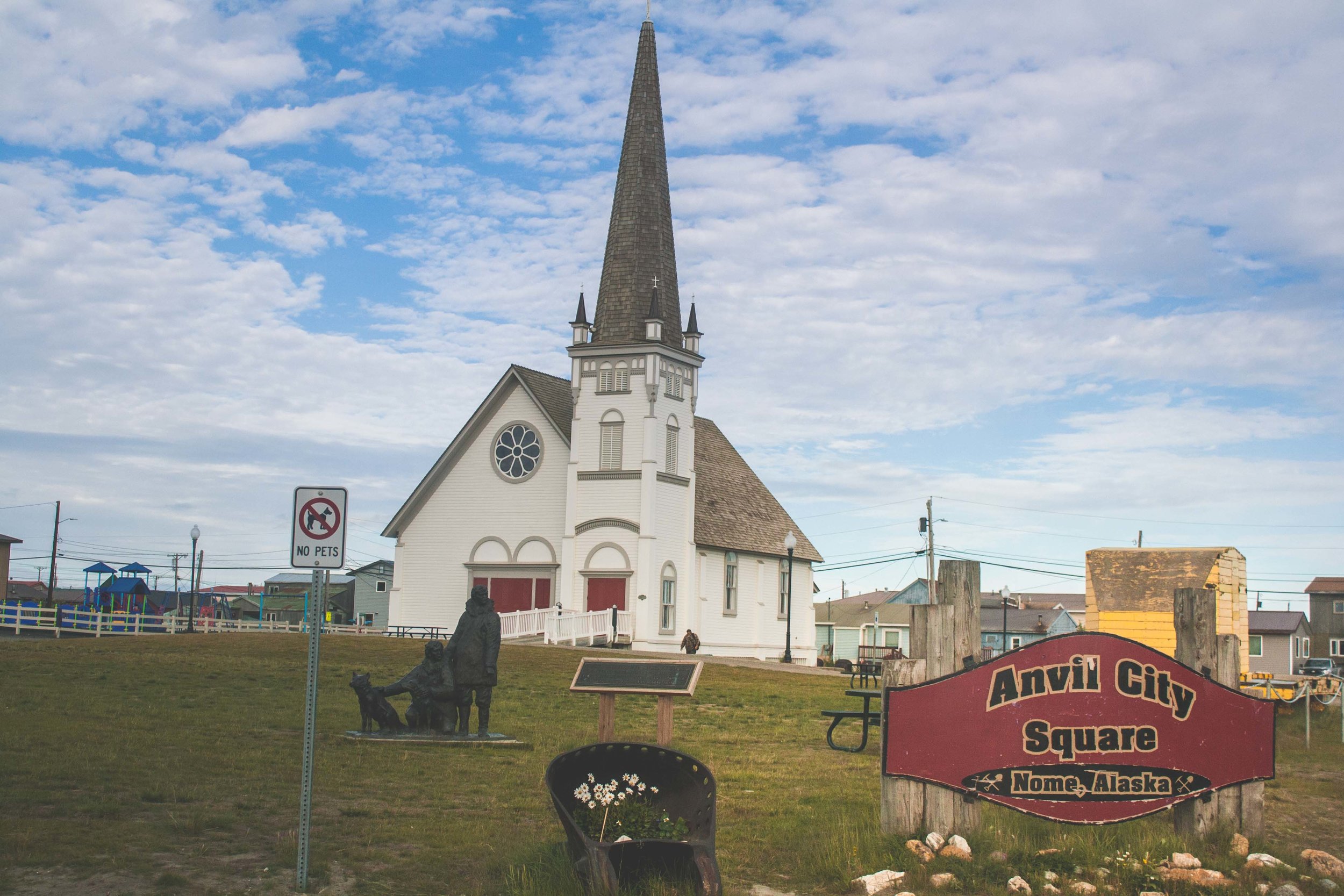
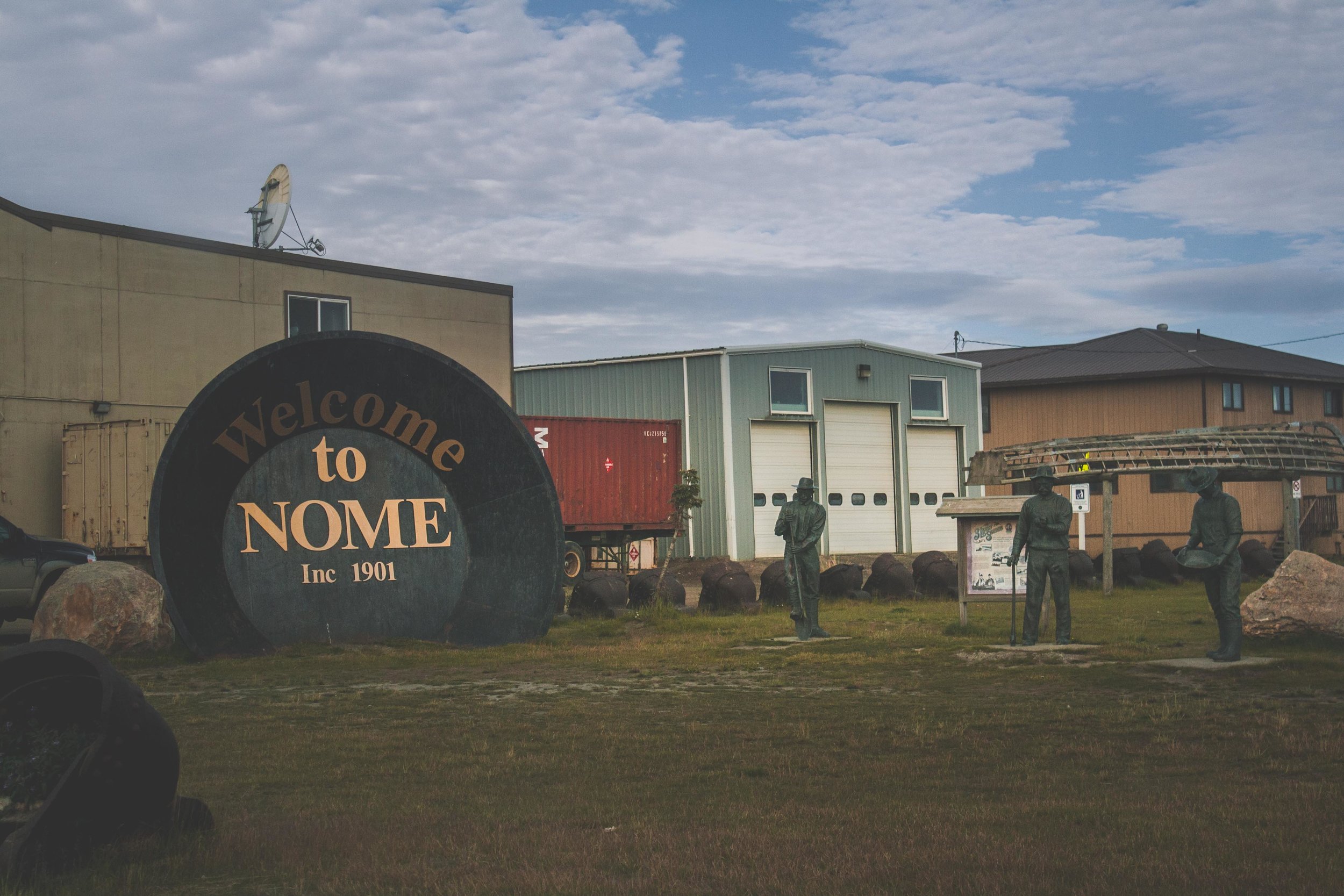
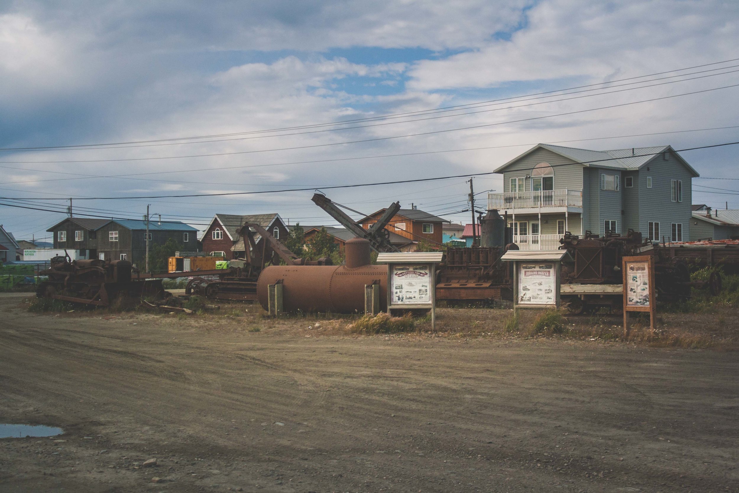
Gold Rush and the birth of Anvil City (Nome)

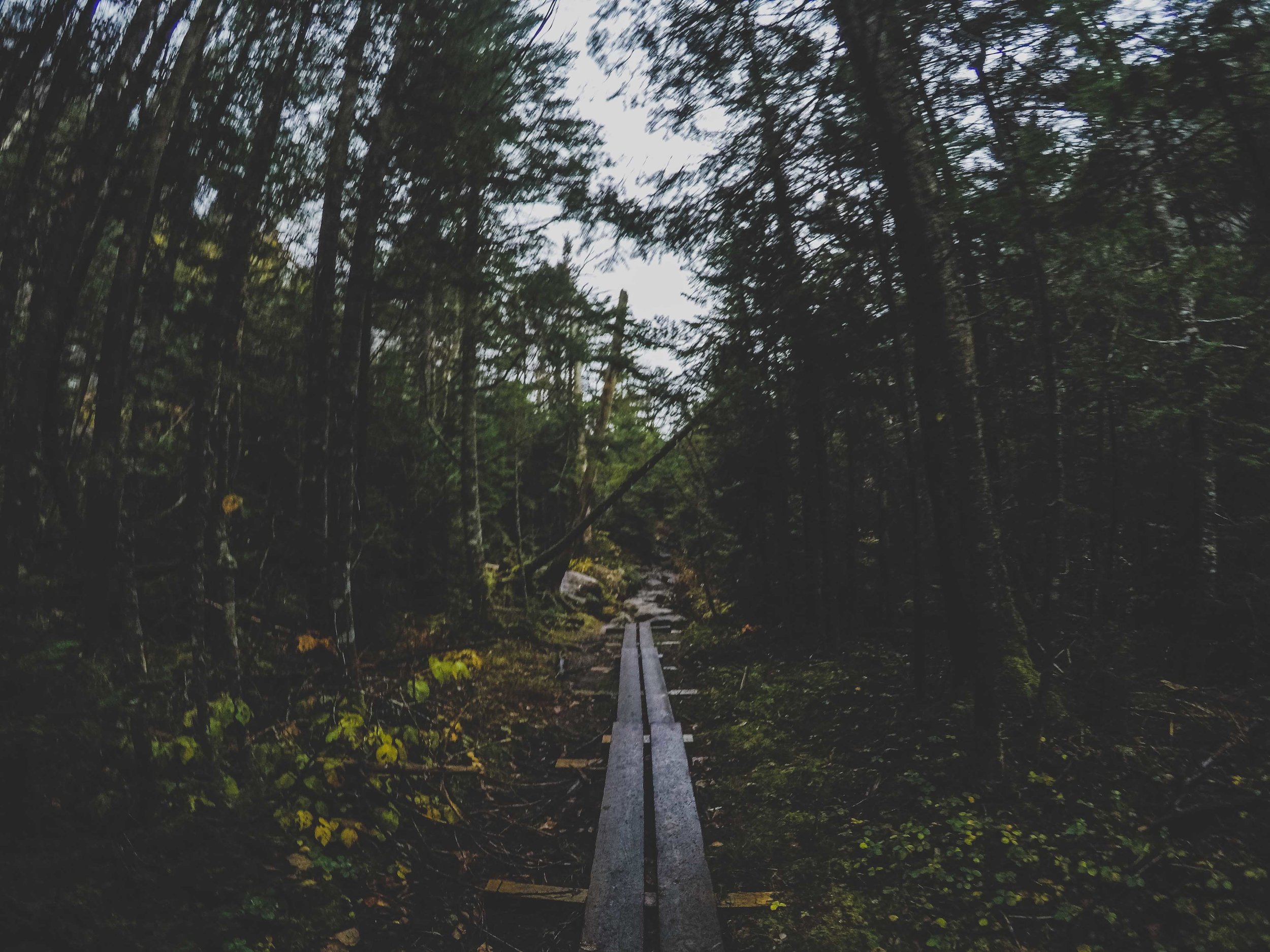
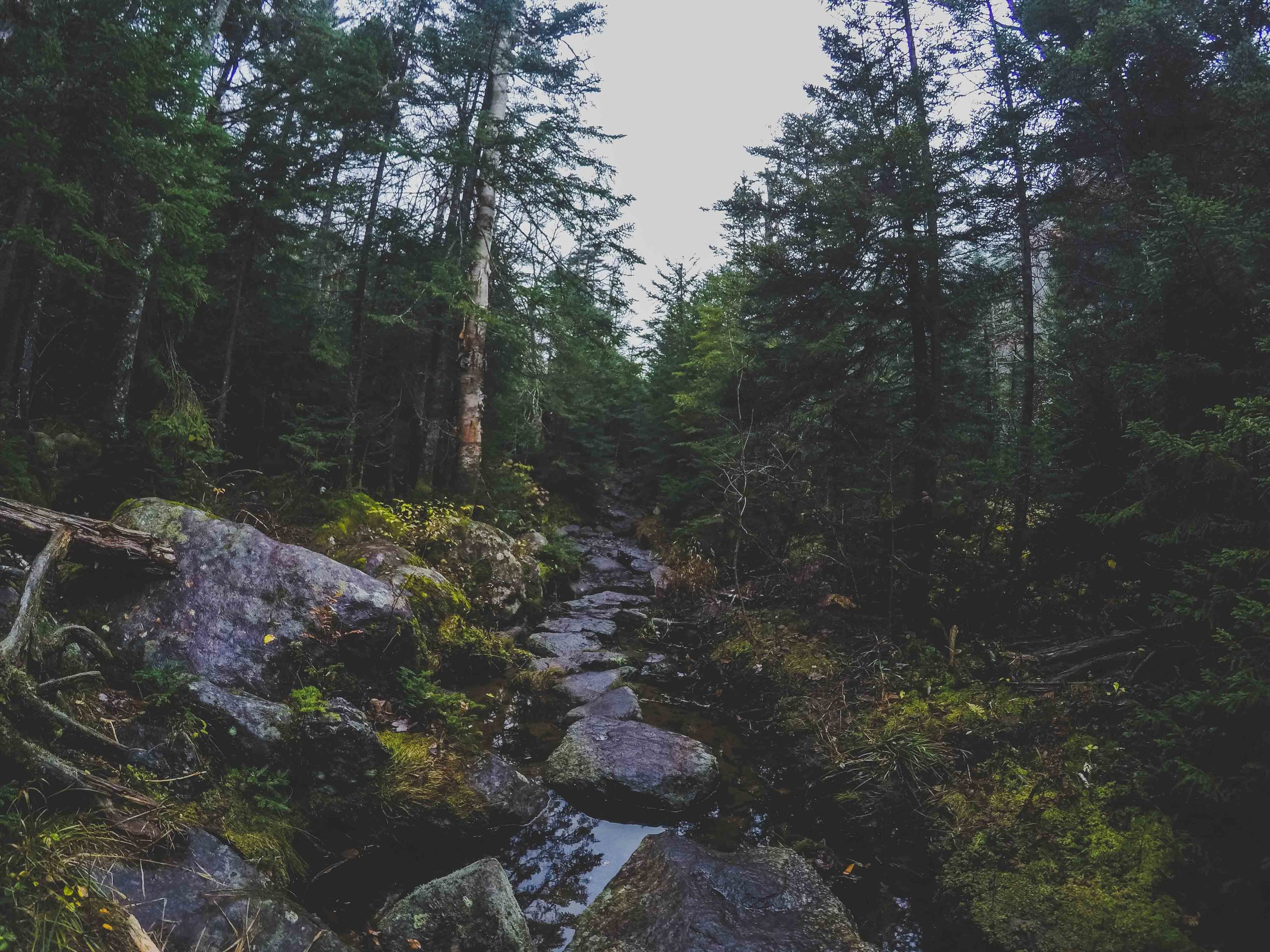
The Klondike gold rush started in 1896 when gold was discovered in the remote areas of the Yukon Territory, bordering to Alaska to the east, thousands of people travelled there. One of the most famous photos (that is also sold as a postcard) is a photo of the Chilkoot Trail that goes through the Chilkoot Pass, a pass that many of the gold seekers had to hike through, choosing the Golden Stairs or the Peterson routes. It is absolutely amazing that these people actually managed to hike these mountains in sub zero temperatures (although, many did not make it) and still come out alive. Yukon Territory is still extremely remote and sparsely populated. The gold rush in Klondike did not last that long, and soon word spread about Nome. In 1898 Jafet Lindberg, Erik Lindblom and John Brynteson struck gold on Anvil Creek. Once the word spread the tiny place of Anvil Creek suddenly had more than 10,000 people living there, and when more gold was found the real Bonanza was on. Fires and storms altered the city and what is found there now, is far from what once was there. Since the city was built along the Anvil Creek it was named Anvil City, something that fast was changed, to Nome, since Nome river and Cape Nome was nearby and the post office did not want any confusion with the town of Anvik in the Yukon-Koyukuk area of Alaska. Most cities and areas in Alaska were named after the people that found or founded it, but the name Nome was originally a mistake. An officer had in the past on a map marked the larger area to the west with “? Name” since it had not been identified. Later on when the map was reproduced, it was thought that the ? was a C, and the a in Name was an O, and so Cape Nome was born and the rest is history.

The Ice Curtain

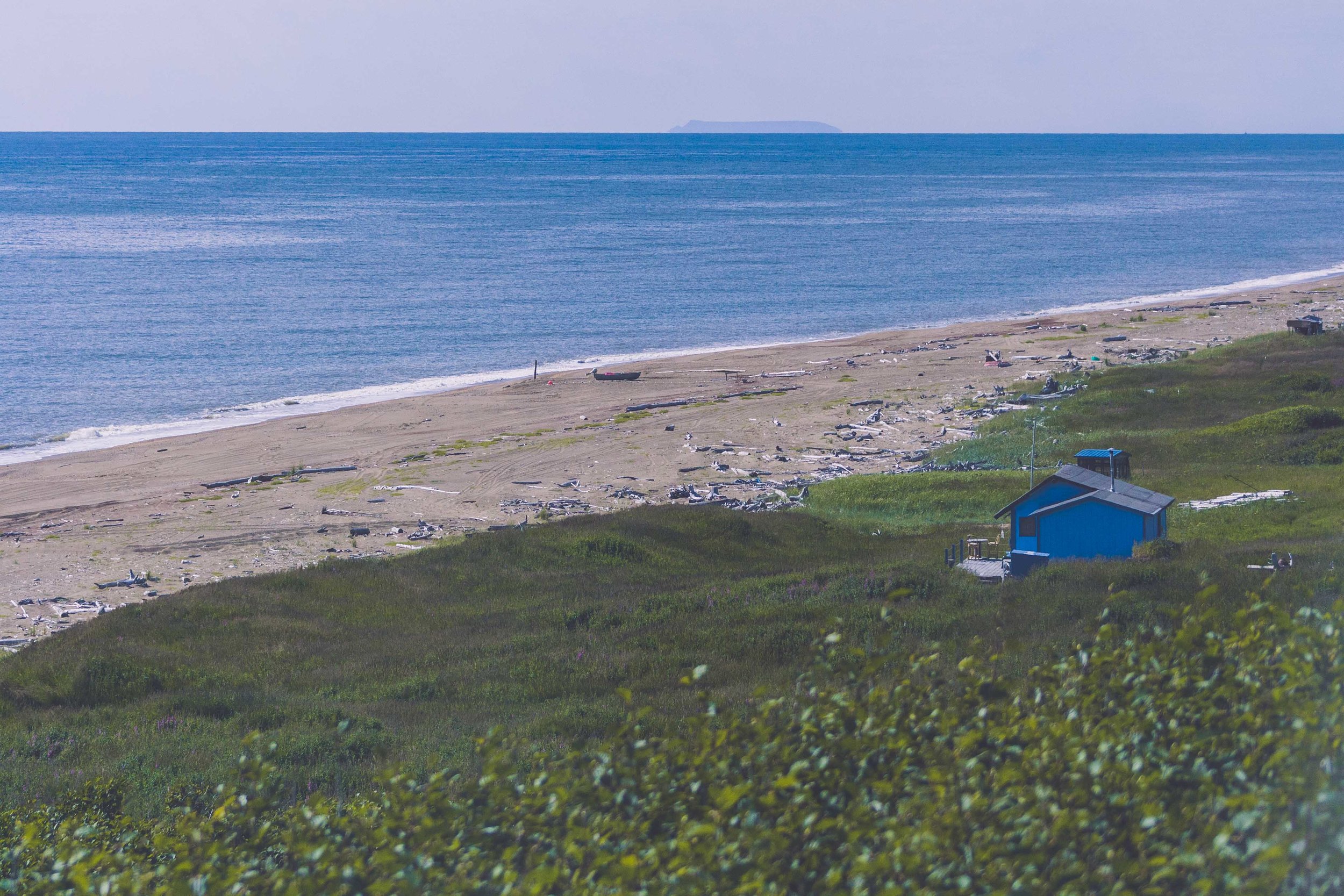
Outside of the Seward Peninsula (not to be mistaken for Seward, which lays in Kenai Peninsula) lay two islands, Little Diomede and Big Diomede. They are so close, only 2 miles apart, but yet so far away. Big Diomede is in a whole different timezone, 21 hours to be exact, and belongs to Russia while Little Diomede belongs to the US. As you can imagine, the people who lived on Big Diomede and Little Diomede were related to each other. They are so close to each other so how could they not be. The ice curtain here is as thick as it can be. During the Soviet era in 1948 the people living on Big Diomede were forced off their island to the Russian mainland, and this summer (2018) was actually the very first time they got to see each other again, after several years of not being able to reconnect. It wasn’t only between the two islands people used to cross, but also between all islands of course, and Nome. With the ice curtain families were prevented from returning “home”. 
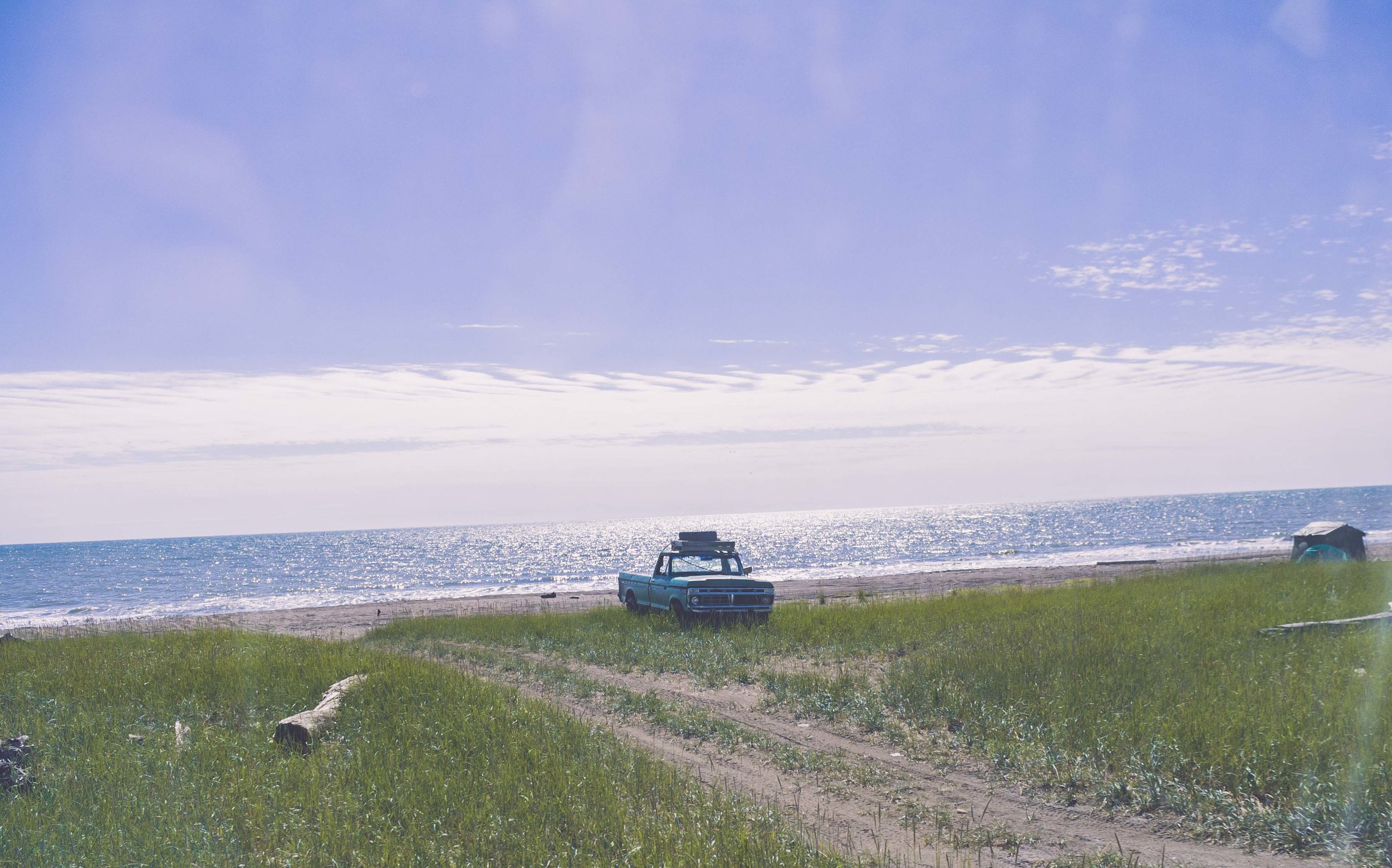
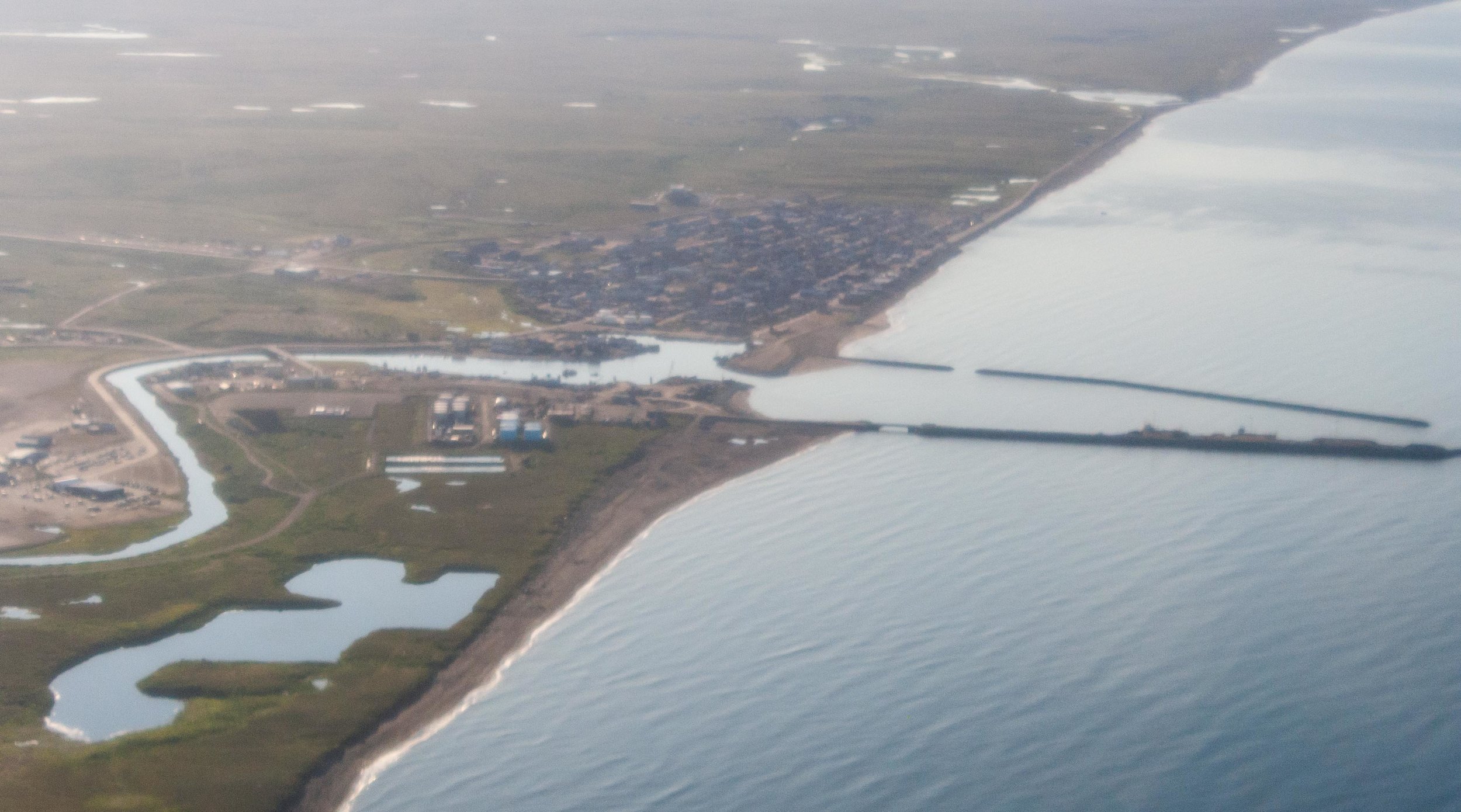
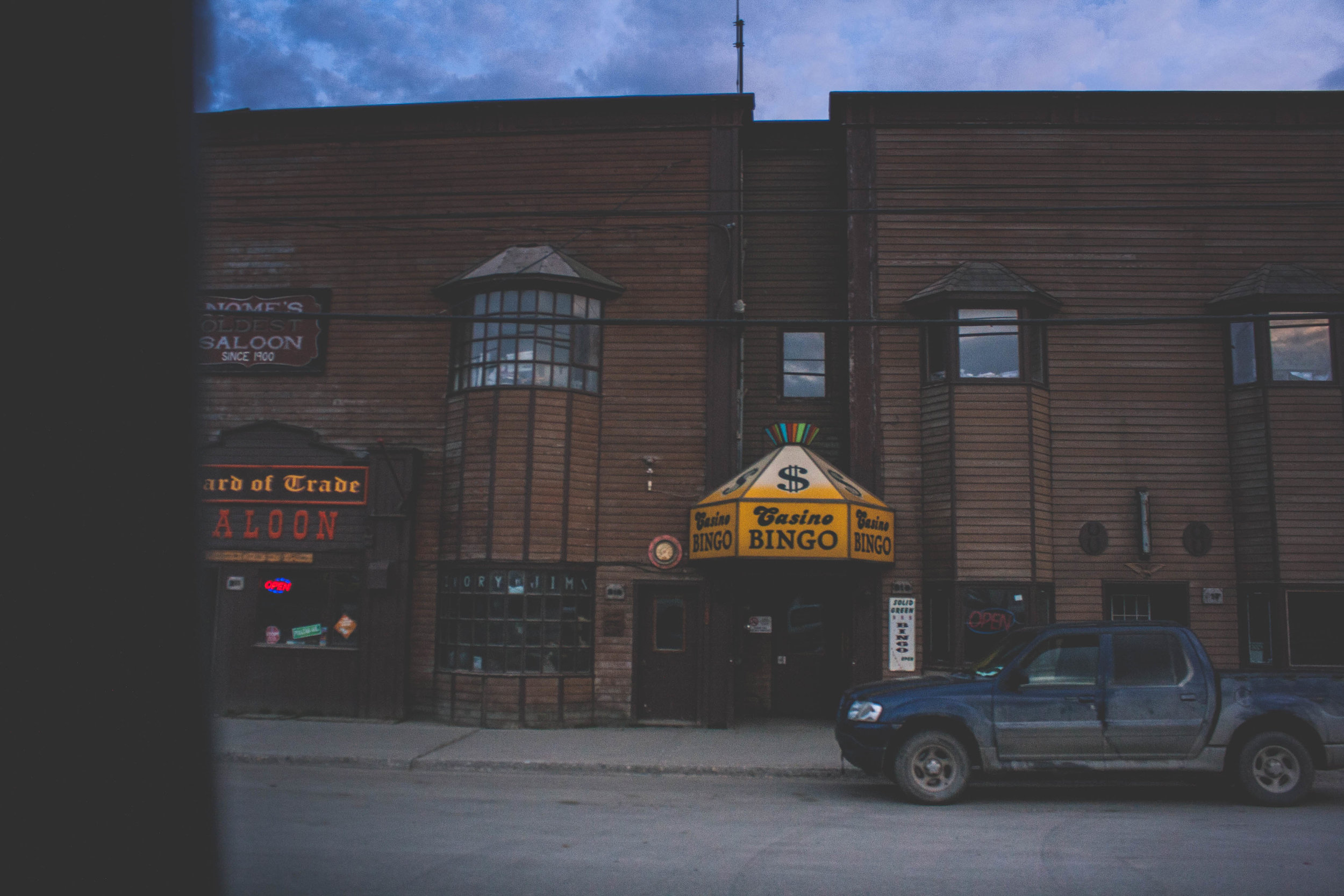
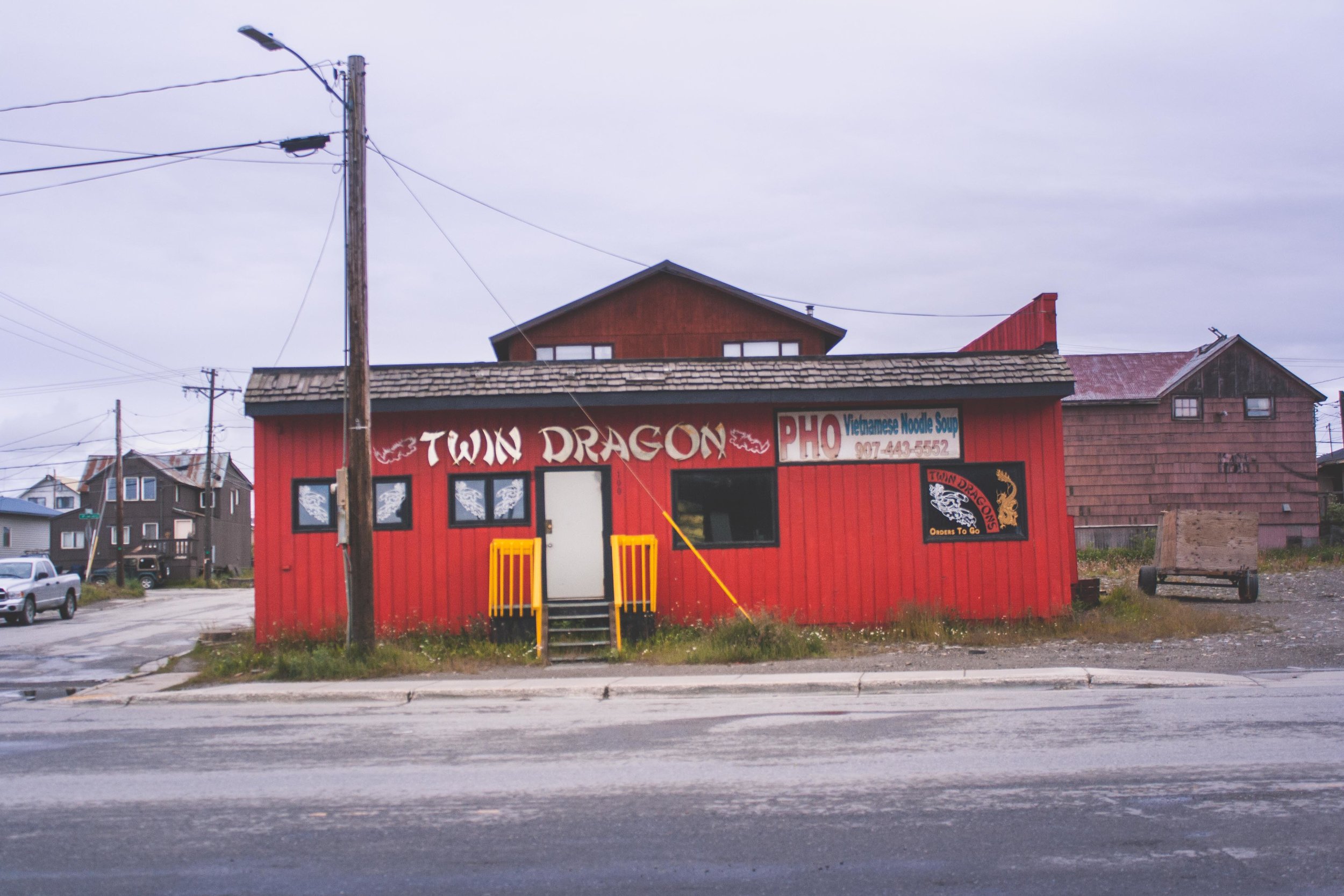
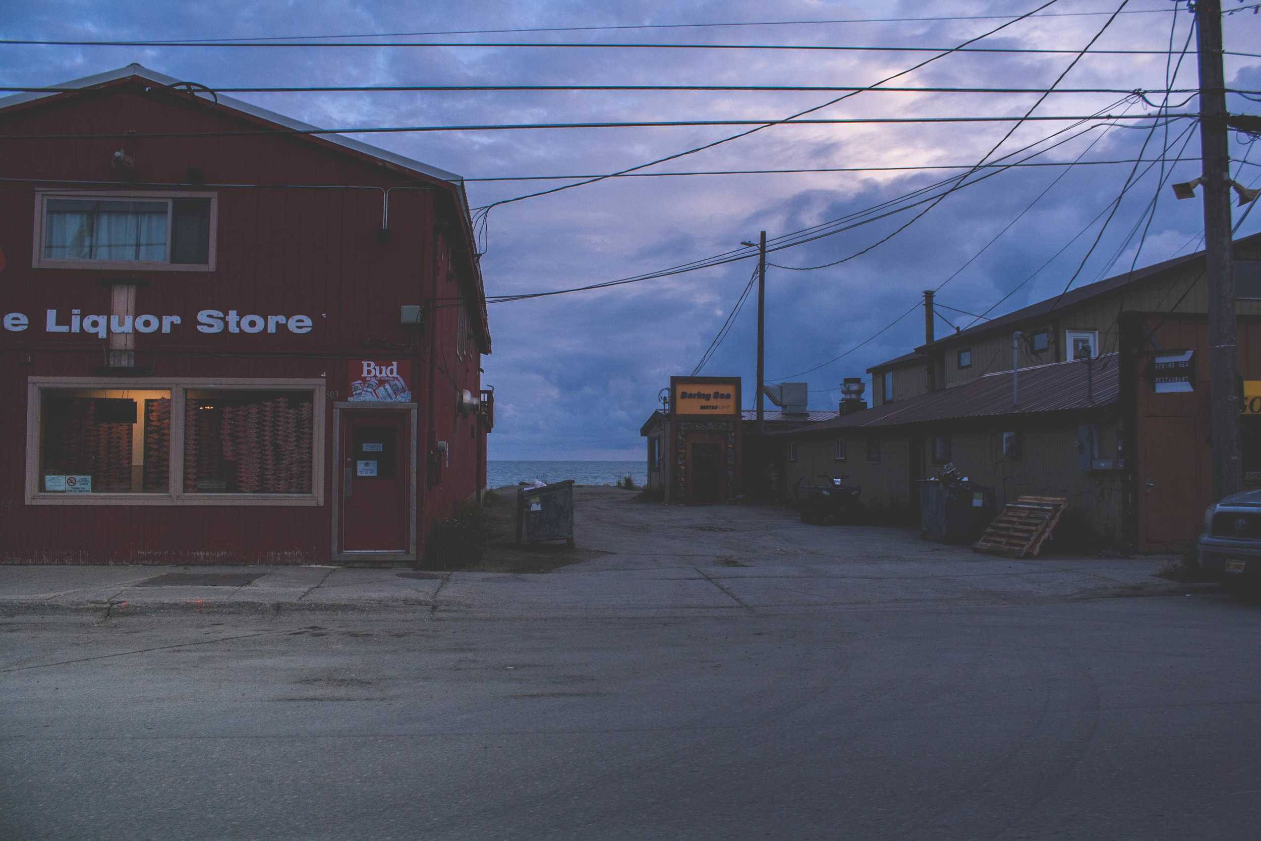
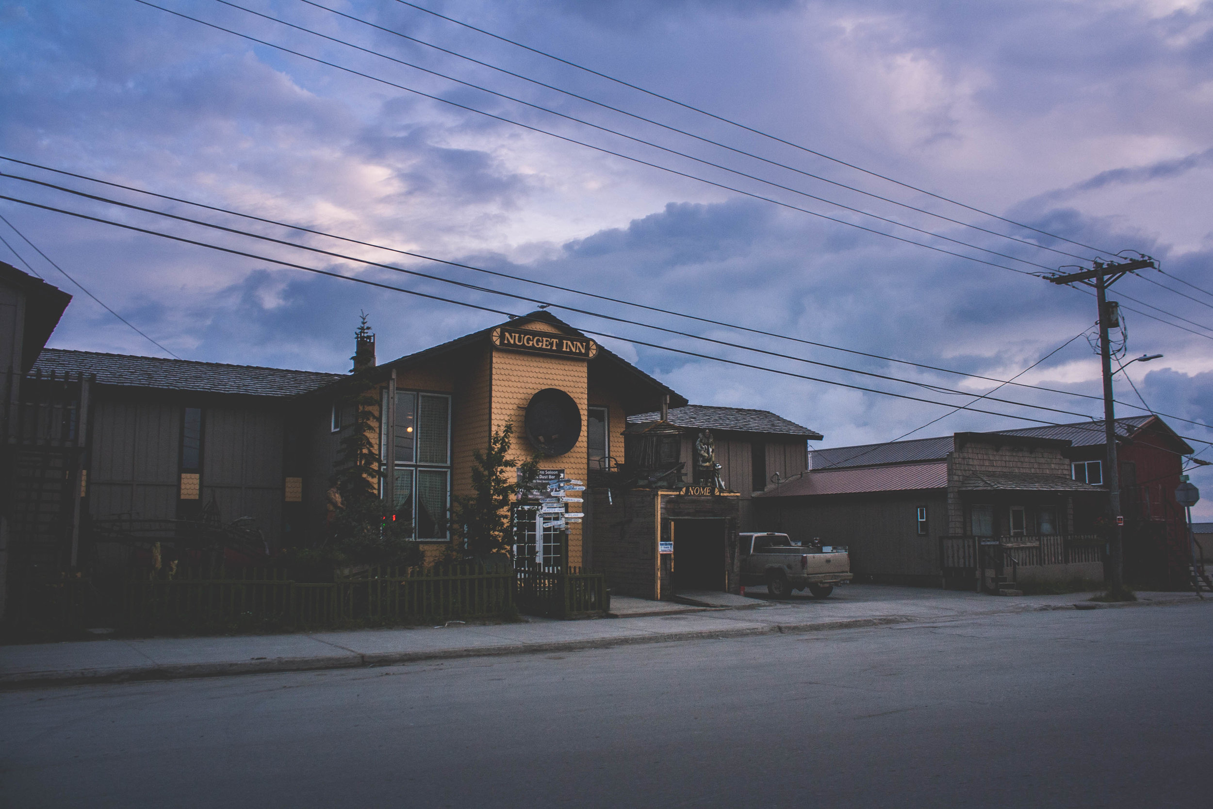
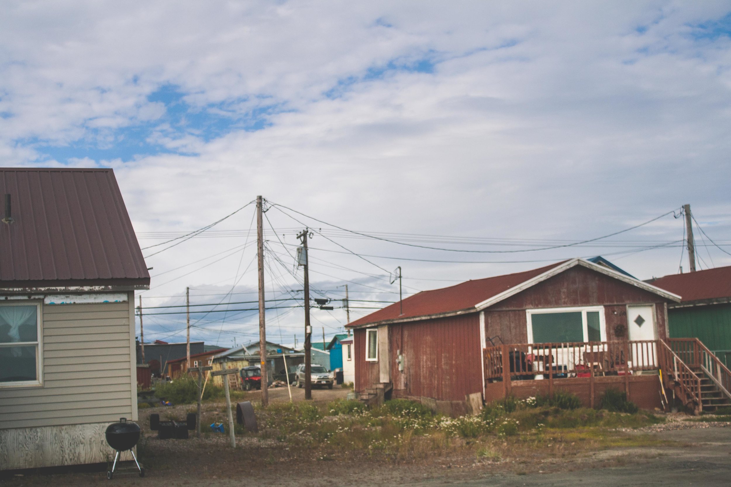
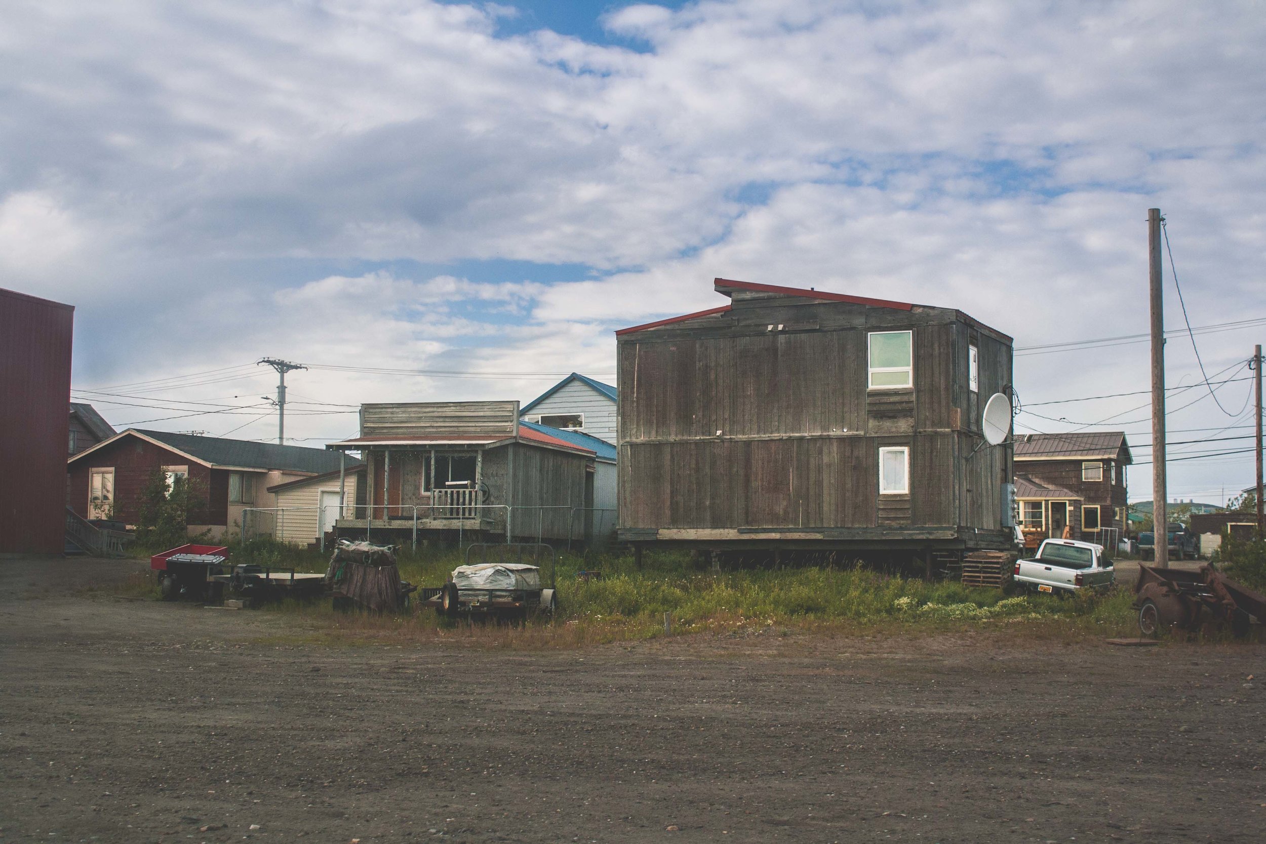
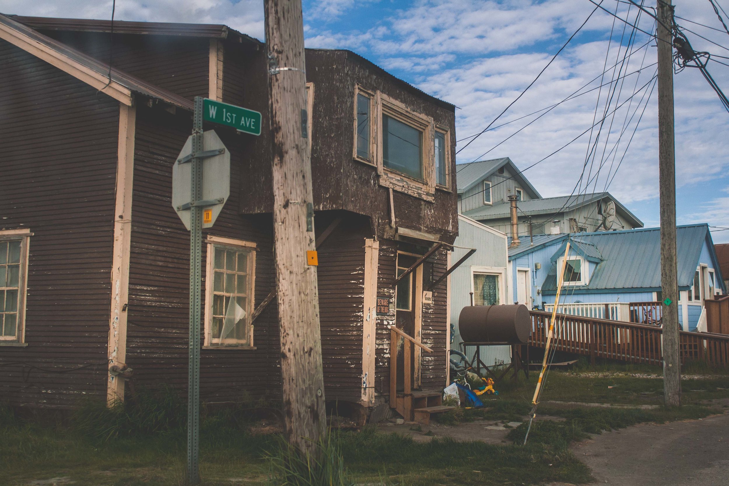
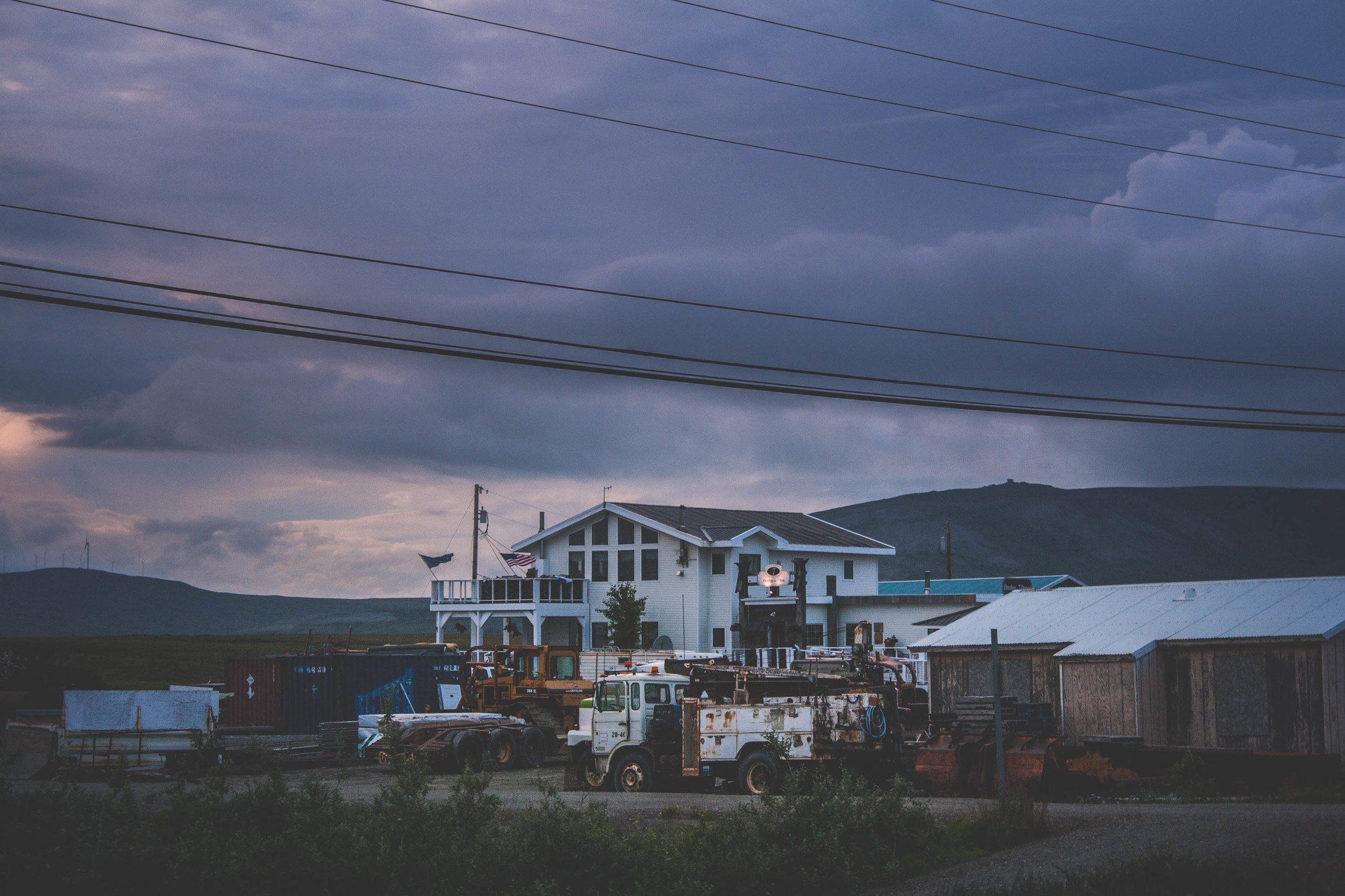
Front Street

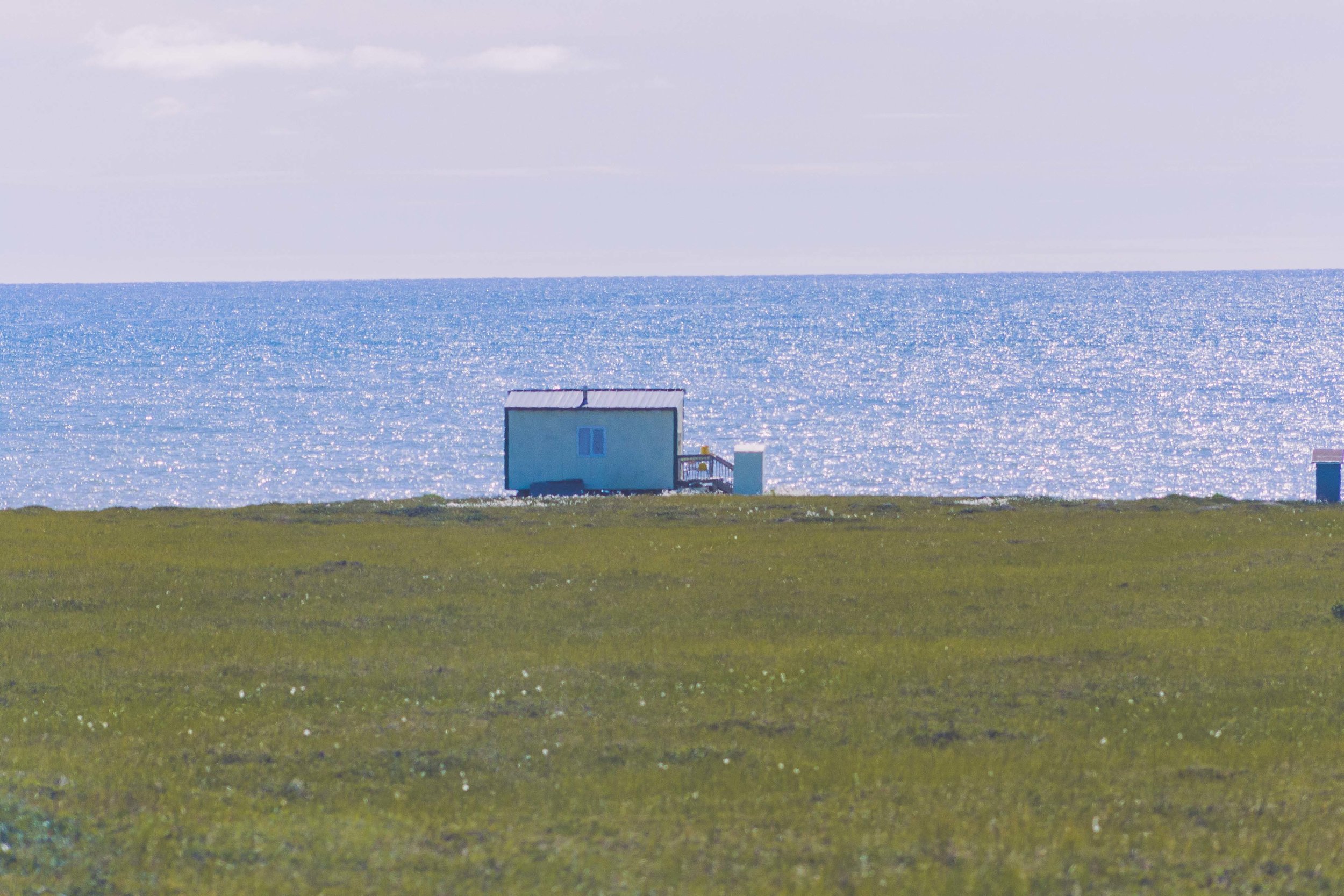
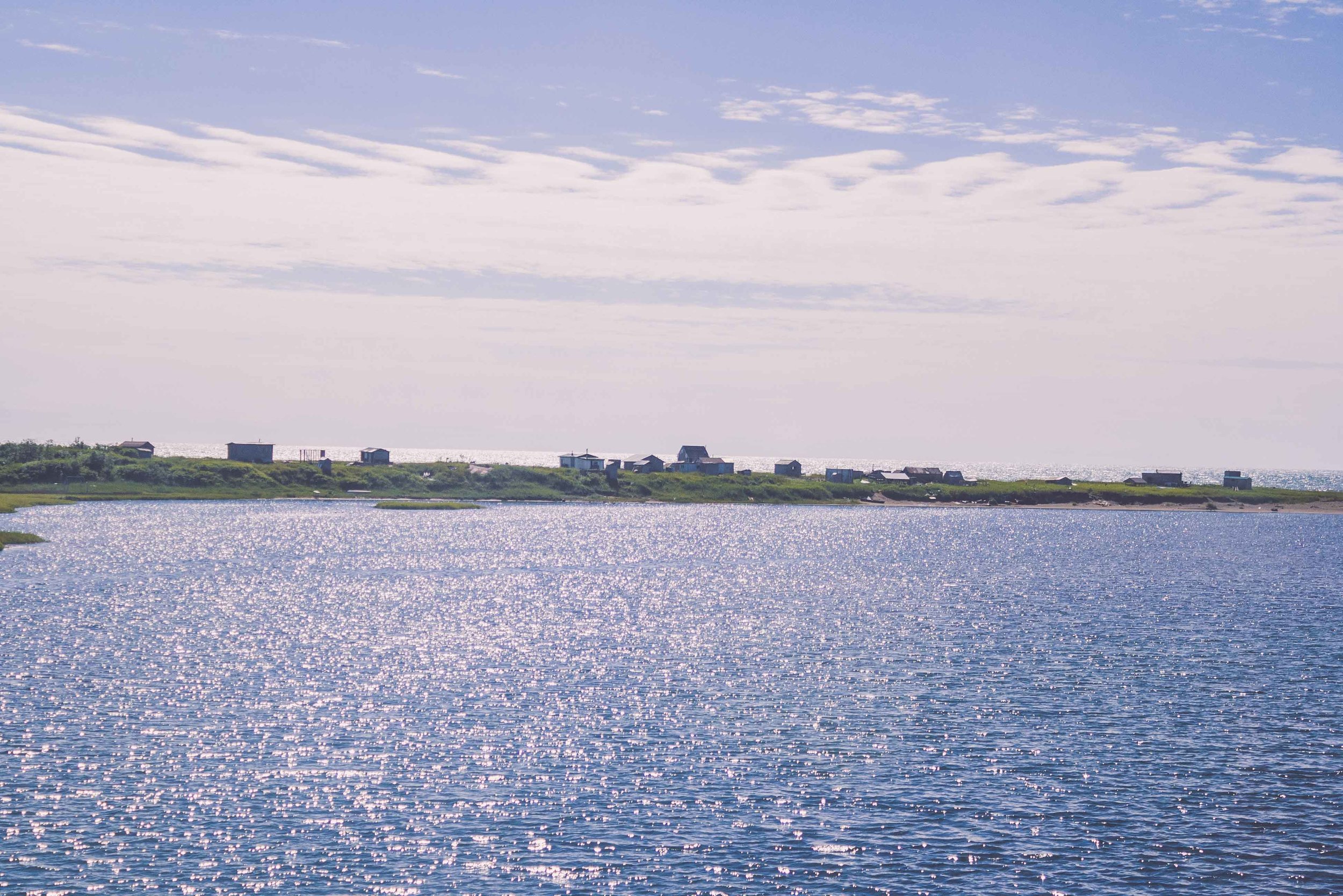
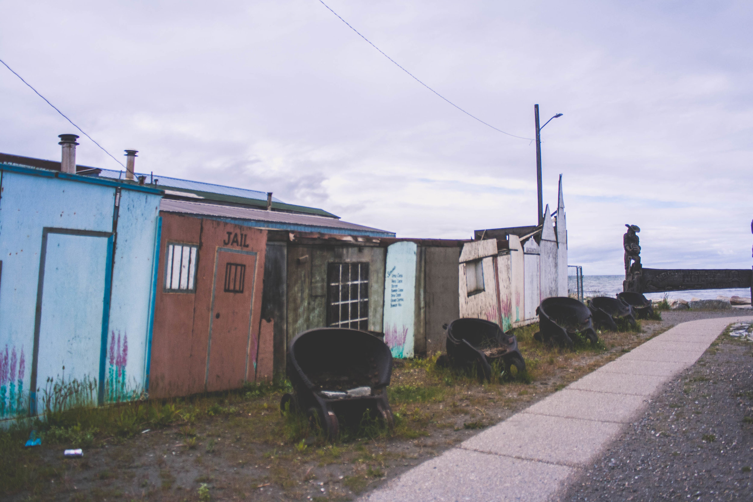
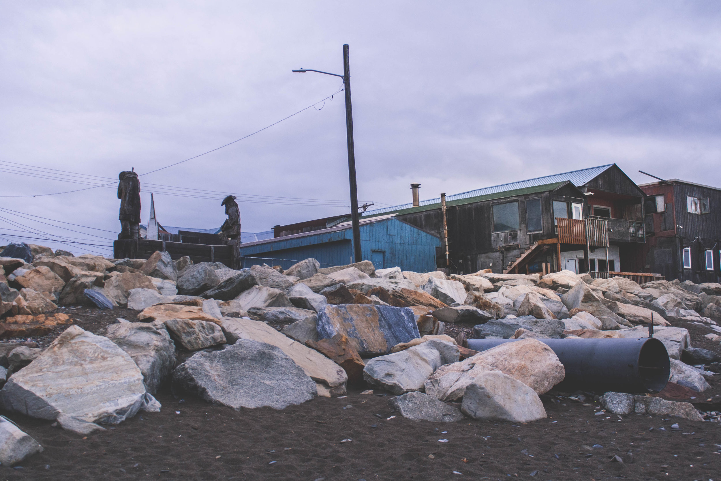
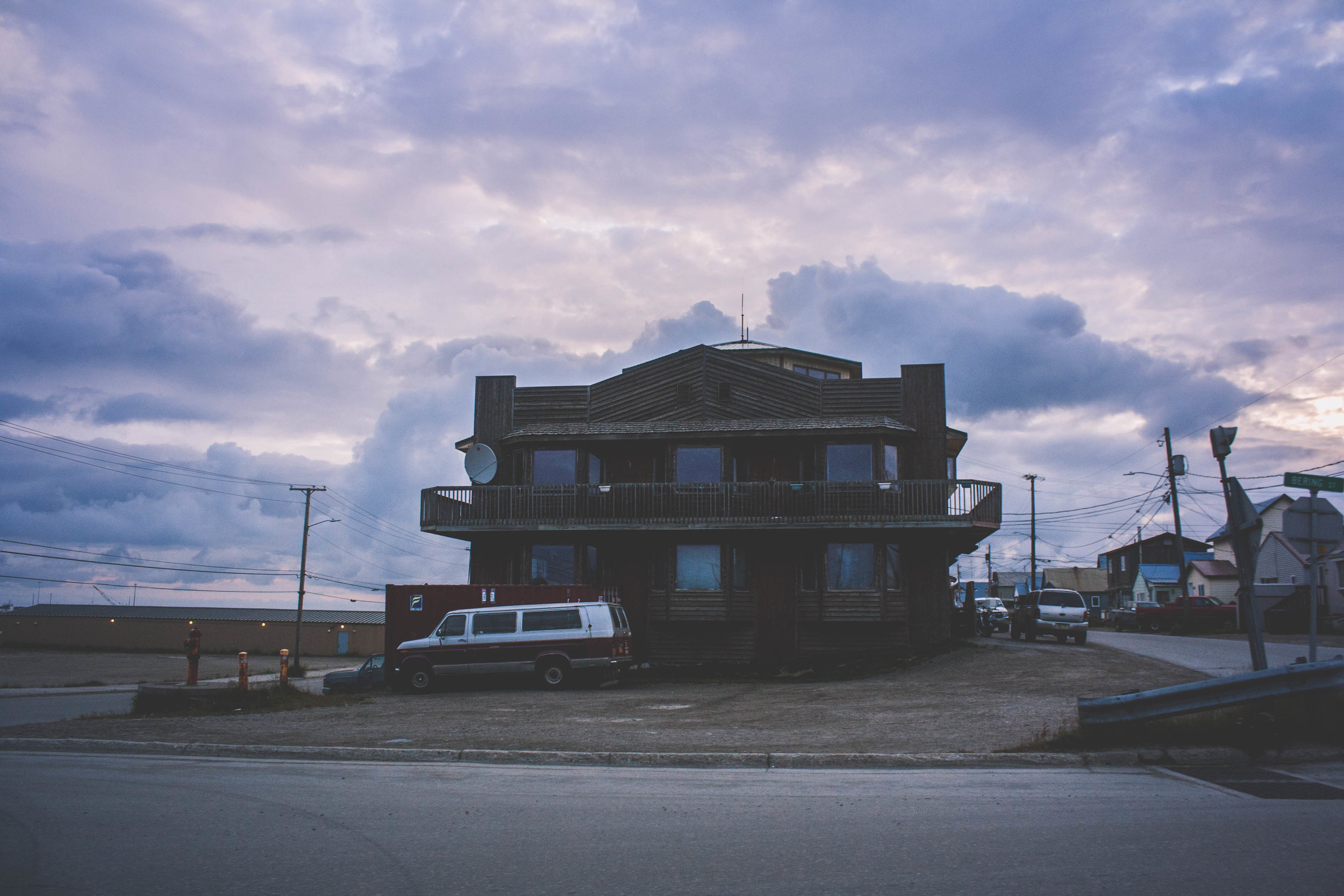
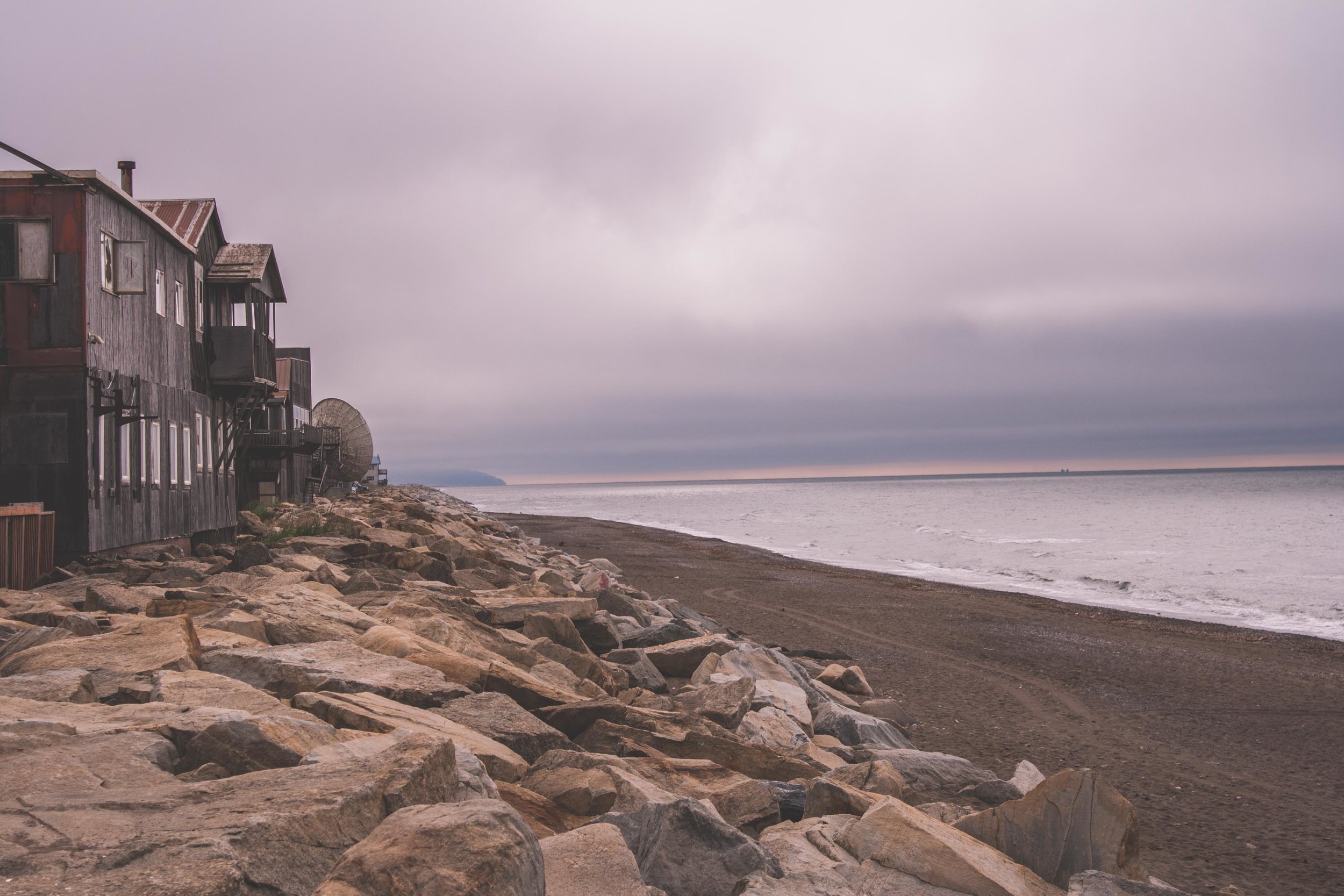
Downtown Nome is front street, and it that lays along the ocean. Here you can find the saloon and several different liquor stores. If you want to eat Korean, Vietnamese, Chinese or Japanese food there are several different restaurants to choose between. Many restaurants also serve a wide array of different foods, ranging from American to Vietnamese. I still haven’t figured out why there is such a large influence of Asian food. Front street is not that long and if you zoom into Nome on google maps you will see how small the town really is. After all there are only 4000 people living here. If you ventured out from front street you will find the larger grocery stores. You can find almost anything in Nome, but it comes with a price. There is a reason why there was such a large hiatus when Sams Club (a bulk size grocery store) shut down in Alaska. Many people from these villages do monthly or quarterly trips to Sams Club, and depend on their shelf food from the store, because the prices in the regular store in the village reflects the cost of shipping (and is outrageous). Of course, the layout of Nome is different now from what it was. Fires went through in the past and even more recently, and the ocean has also taken part of the original city during fierce storms in the past.

The Last Frontier - Oil, Mountains and Freedom?

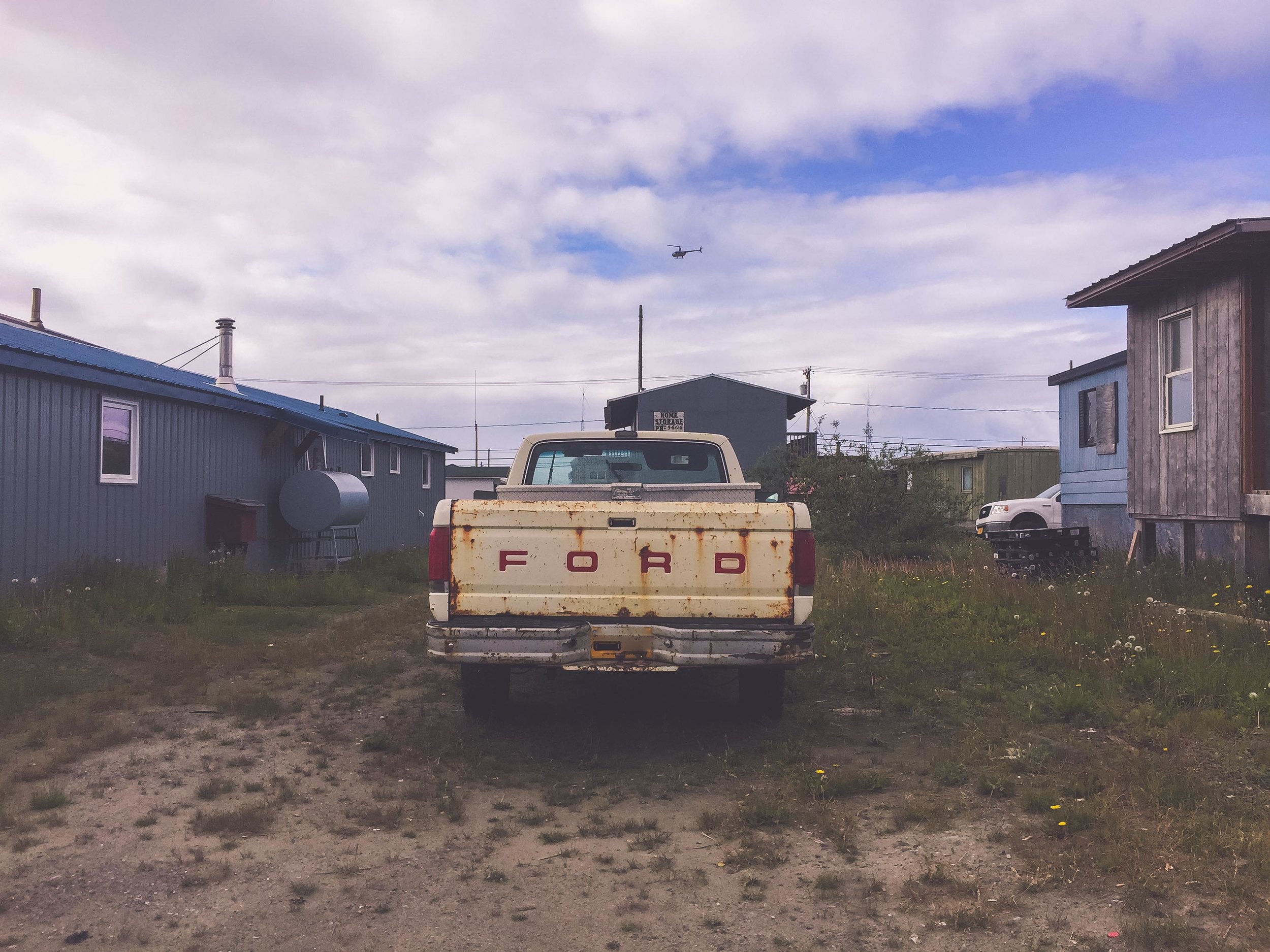
Just like other cities and villages in Alaska, many heat their home with oil, they have a Toyo or alike and you can see the drum outside the buildings that holds a winters worth of heat. But depending on how well insulated the houses are, the house will keep the heat, or leak it like nobodies business. I’ve had friends who literally could see through the walls of their cabin in Fairbanks, and went through several hundres of gallons oil in one winter, just because the cabin was so leaky. The city of Nome is small, and as soon as you leave the “downtown” your eyes will rest on the mountains and muskox, instead of the ocean and Russia. There is a reason why Alaska is called “The Last Frontier”. If you want freedom, solitude and test your survival skills you can move to Alaska and settle down in a cabin in the woods, or in the mountains. Living like that is not for the light hearted, the winters are brutal with the cold and the darkness. Even though those summer nights last forever, and fall with it’s magical colors, and winter with endless skiing and northern light, come spring and death is knocking on your door. There is a reason why the suicide rate in Alaska is one of the highest in the US right under Montana and Wyoming, especially in the villages and the native population, along with domestic violence. Even though the darkness in itself is not necessarily what triggers the suicides (suicides in Alaska spans the whole year with no real seasonal pattern), it surely doesn’t help. Life in Alaska is tough, for everyone. I would be lying if I said that I’d never been depressed while living in Alaska. I can say that I have gotten a handful of emails from the University of Alaska Fairbanks through the years, letting other students/faculty/staff know that a suicide has occurred on campus. This past fall I read about a man who lived not far from where I lived in Fairbanks, he had like many other people in Alaska, withdrawn from society. They found him this fall, dead from suicide, a suicide that had happened several years ago.

If you or a person you know is considering help, don’t wait

Call 911 for immediate emergency intervention.
Call 877-266-HELP (4357) for the 24/7 Alaska Careline.
Go to the closest hospital or medical facility.
Text “4help” to 839863 Tuesday-Saturday 3pm-11pm.

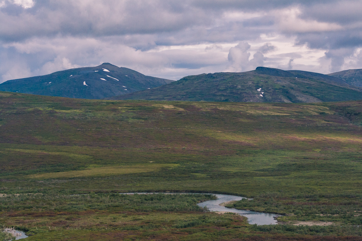
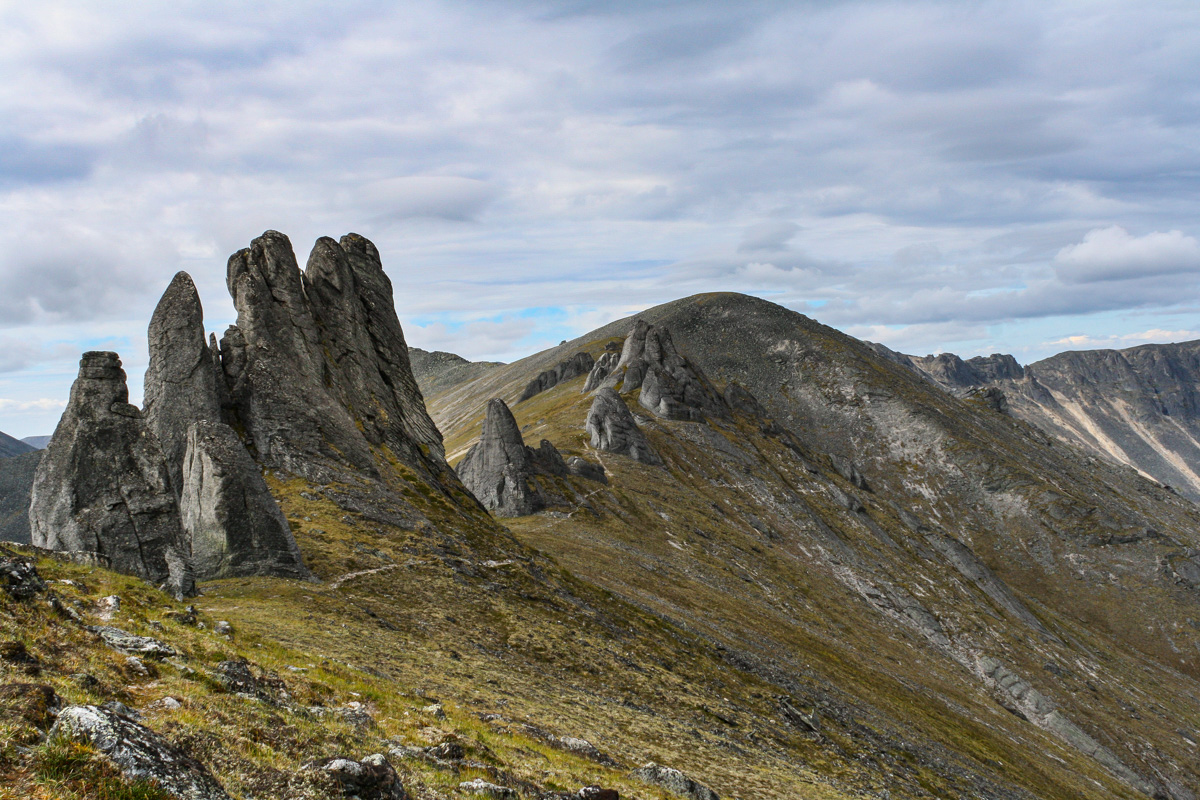
The Beauty of Alaska

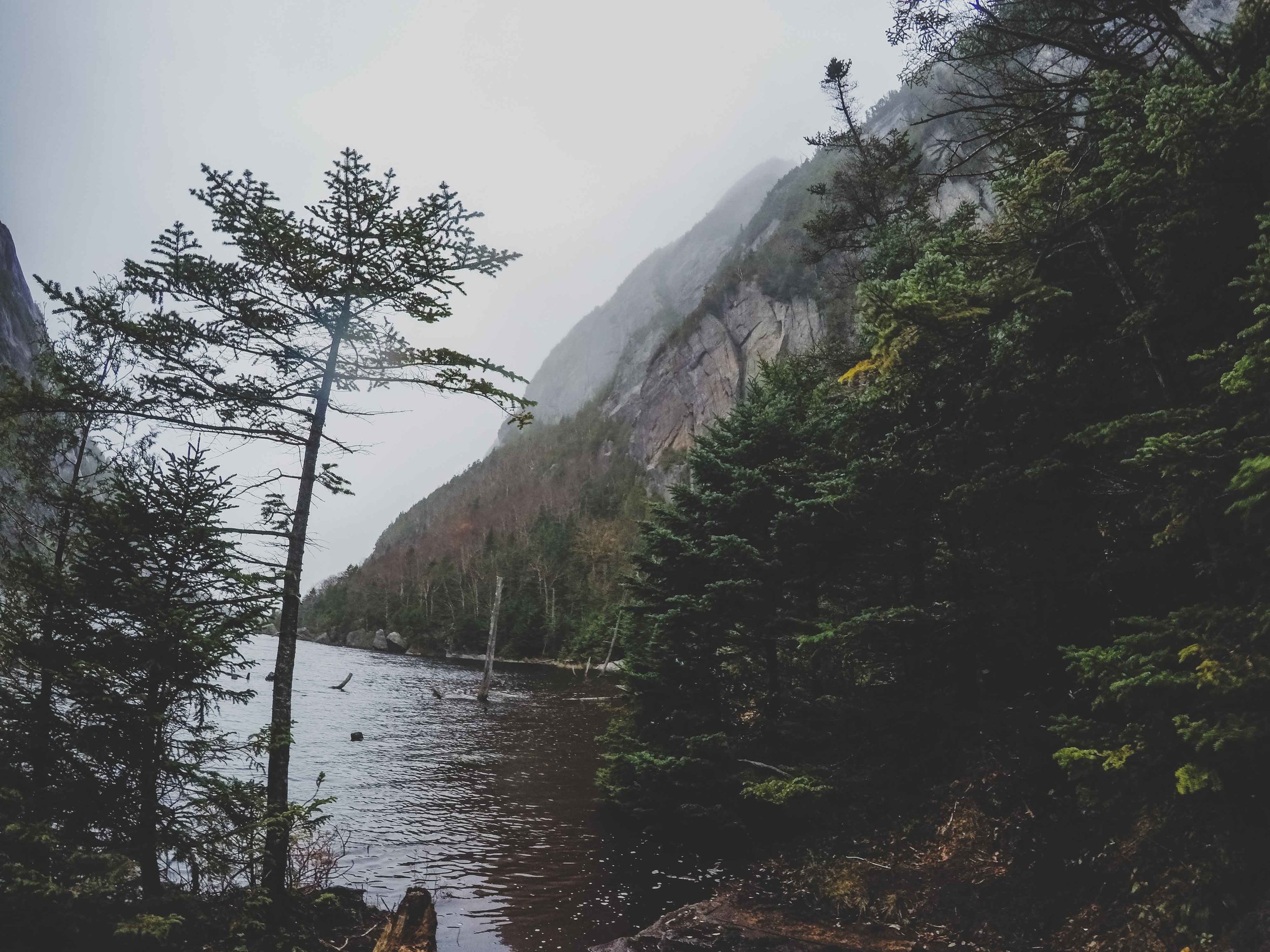
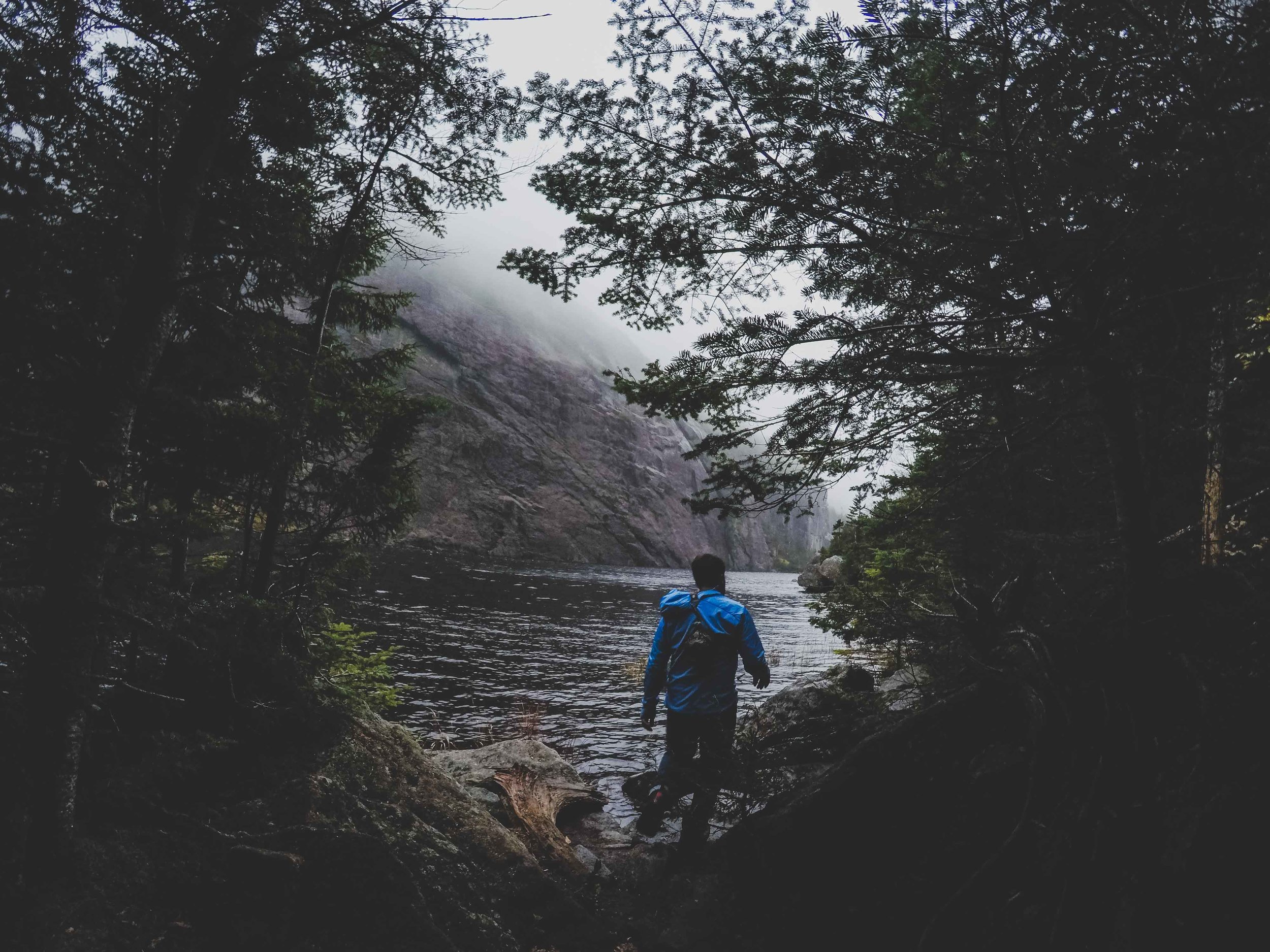
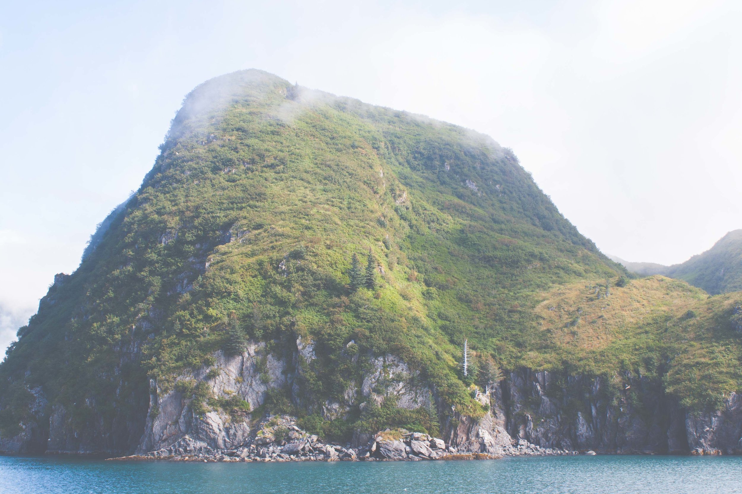
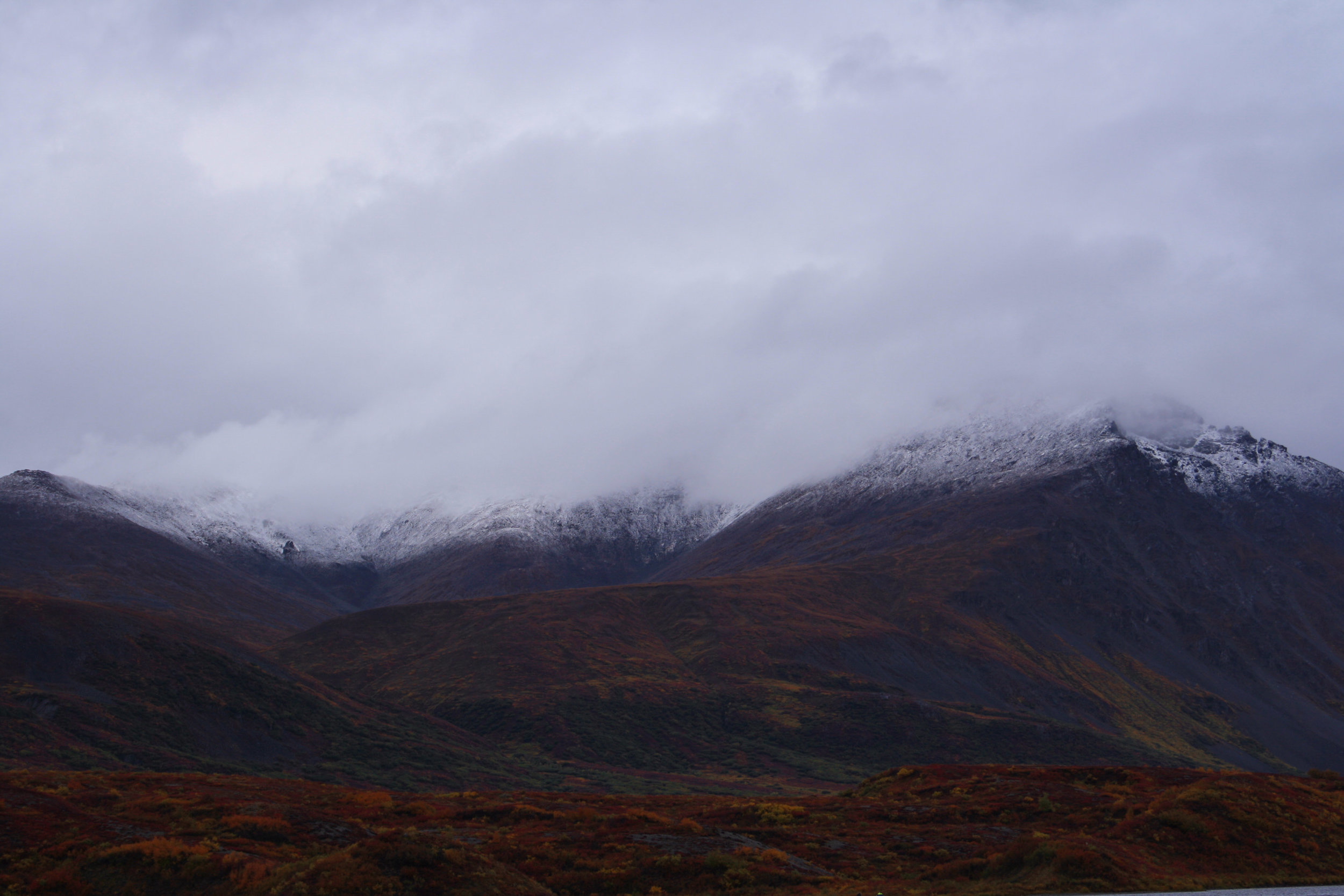
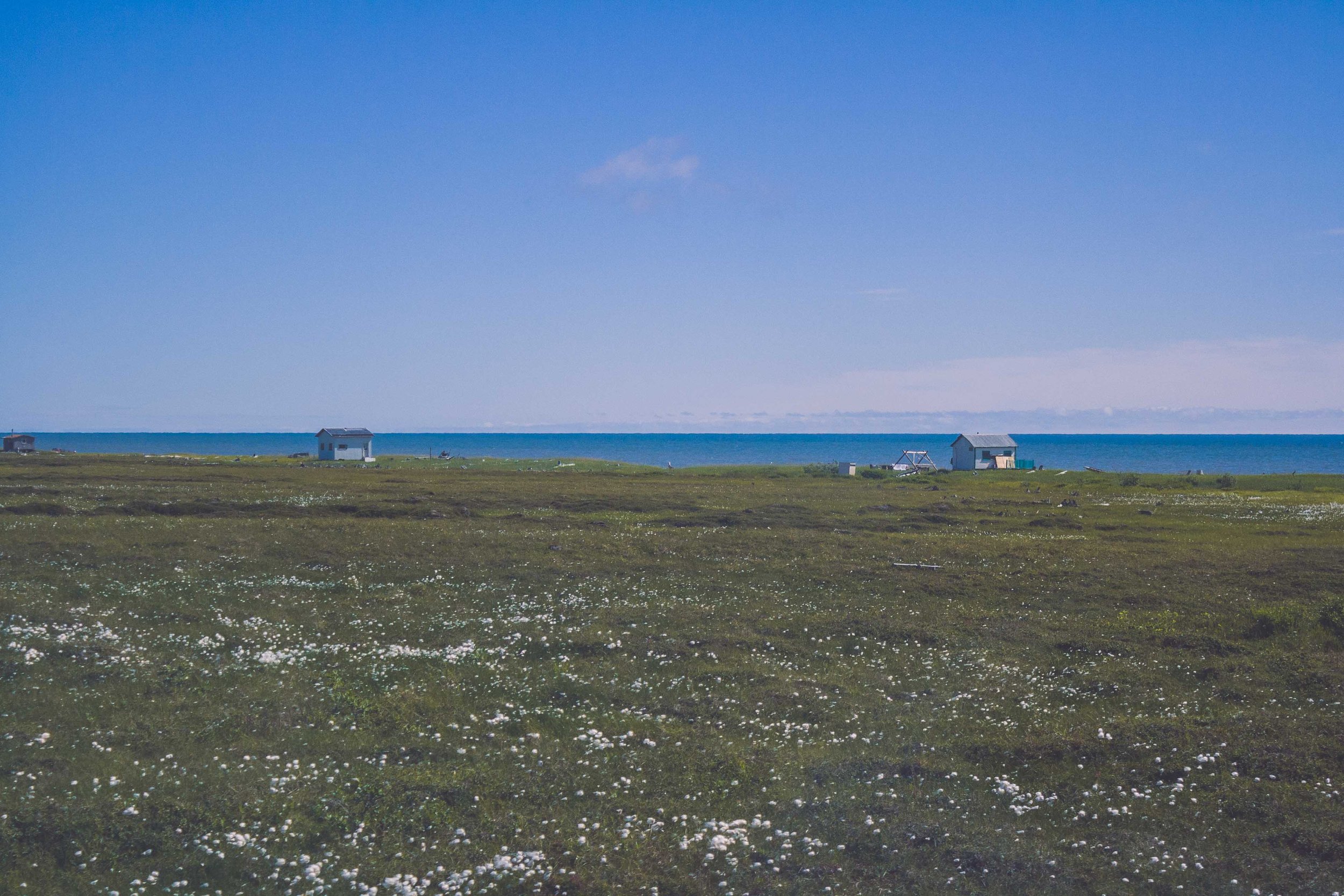
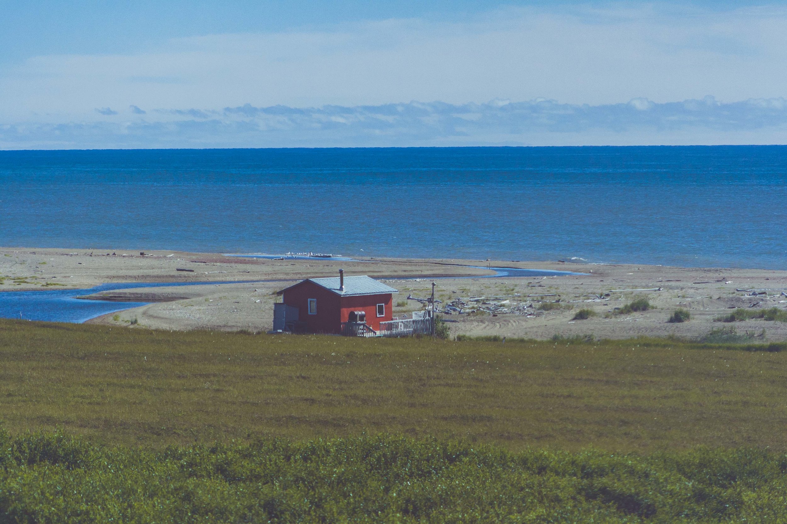
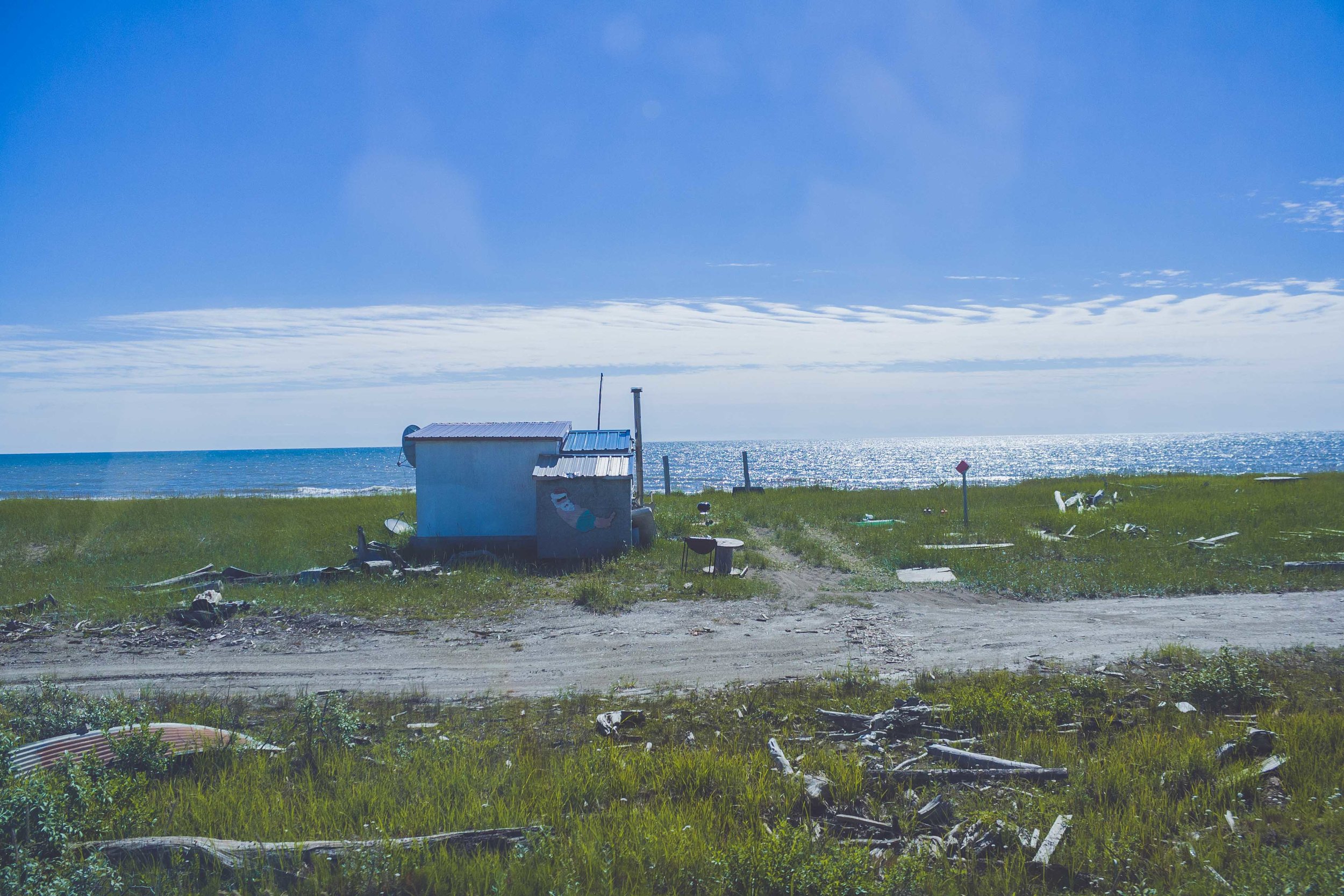
Even in the darkness though, Alaska truly is beautiful. I think that is what captures people. Alaska is captivating, like a spell that never breaks. You’ll get spellbound pretty fast, and once that happens it’s hard to go back. The boreal forest in the interior, the glaciers that touches the ocean in the south, the tundra to the west and north and all the mountains in both Alaska and Brooks Range. It was kind of surreal to drive off into the mountains every day for nearly two weeks. I missed it. That view of the mountains. Flying into Anchortown and later Nome I realized I’d forgotten how beautiful Alaska truly is. I should know, I lived there. But photos of this magical place doesn’t do it justice. Reality is always going to be so much better. Driving the roads out to the field site we saw all of these tiny houses, randomly laid out across the landscape. It’s quite remarkable when you see it. You watch those tiny houses with a backdrop of huge mountains. It makes you wonder, who lives there? When did they move there? Do they use these cabins year round? I’ll write another blogpost about that later, and until then you can rest your eyes on these muskoxen and mountains below!

Conquering Algonquin Peak

Adventure Tuesday

Go North

When our friends sent us a wedding invitation to come to Montreal we did not hesitate to rsvp yes right away. It had been a different issue if we still lived in Madison. Money is always an issue and flying is (almost) always expensive. But living in New York, Montreal is actually really, really close. But we couldn’t just drive all the way up there and back again so we decided to make a stop in the Adirondacks on the way back to New York City. Driving north through the Adirondacks we were treated with the most eye catching fall colors I have ever seen. Red, orange, yellow and some greens from the coniferous trees. It was so beautiful and we knew we would see that again in a few days.

Heart Lake Campground

We hadn’t done enough research on where to camp or where to hike either to be honest. I found a hike on a website that looked pretty cool. They said it is moderately trafficked, because here in New York State there are many many people, and finding an empty trailhead is unheard of. The hiking itself was rated as hard! We chose the nearest campground to the trailhead, which is run by the Adirondacks mountain club. We arrived in the late afternoon and were a bit worried as we approached the campground and there were plenty of cars parked on the side of the road. We knew New York State is different from Wisconsin, Alaska, and Montana, but we were pretty shocked to see the amount of people that a trailhead like this apparently brought. There seemed to be plenty of open camping spots though, but it comes with a price. 40$. I was shocked, because you can literally get a large hotel room in Las vegas for 35$ (we actually did once) so paying 40$ to pitch a tent felt wrong. But since we hadn’t done any research and were tired since this was also the day after the wedding we sucked it up and payed, for one night. The next day we payed for a second night. We also bought firewood, because you have to have a fire if you are at a campground. We payed 7$ for a bundle. Started the fire and the wood was partially wet. This made me even more pissed but we sucked that up too. And we did have a nice evening at the smoky fire anyway, reminiscing about that time in Canada, where every campground provided free (and dry) firewood.

Not that prepared?

We hadn’t really checked our grab box with all the kitchen stuff so we also discovered essential pieces were missing. Like a can opener. The lighter was singing on it’s last song too…but we (barely) made it. (wouldn’t have been the whole world because you could buy lighters at the campground). I had saved important information about the hike on my phone, in my maps, but I closed te map app and with no cell service we could not access that again. Which didn’t really matter because the next morning my phone died anyway (my battery is also singing on it’s last song). The next morning when W went and payed for our second night he bought a map.

Avalanche Lake

The morning had shown some beautiful pink colors mixed with the existing fall colors. I went down to the lake and saw termination dust at the top of the nearest mountain, the air was cool, but I don’t know the temperature. Clouds were slowly coming in, and the weather forecast had said 70% chance of rain. We didn’t see anyone at the trailhead, and only a couple of parked cars. It was Monday after all, so we probably wouldn’t see that many other people. We met about three other pair of people coming back to the trailhead during the first three miles and those were the only people we saw until the very last bit of the hike. The hike starts through a beautiful forest dressed in yellow orange and green with some hints of red. You continue through that during a few miles at the same time as you are hiking up in elevation. Eventually you reach Avalanche lake. Low hanging clouds draped the lake and the surrounding mountains in this beautiful white veil that made the whole lake seem surrealistic and spooky. We continued hiking along the shoreline which included climbing boulders, ladders and hiking over the water on boardwalks. It was slow, because of all the obstacles and we started to get a little concerned about time. We had started around 9.30 am and this was suppose to be a 12 mile hike after all. You hit Avalanche lake after about 5 miles, so only a bit more than a third of the way (more or less), and I think it was starting to get close to noon as we approached the other side of the lake.

Up, Up, and Up

After the Avalanche lake we had some light rain in the air and could still see nothing (no view that is, which we never ever did during the rest of the hike either). But, even rainy days like this create a beautiful landscape. We hiked on a severely eroded trail, which looked like a stream bed, and from time to time I was unsure if we were actually hiking in a stream, because there was some water running through here too. Something I still wonder about, or the trail is just this heavily eroded that a stream bed has actually been formed due to the heavy traffic. The trail is hard on you because you basically traverse large boulders constantly, and no way to not hop from one boulder to another. We crossed streams, jumped stones and boulders, hiked through the forest up up and up. All of a sudden the trail took us up a waterfall. The hike went on to a completely covered bedrock layer, and then switched again to boulder hopping, stream crossings and continuing up and up and up. I started to get tired, and wondered how we could still be going up and up. Time got closer to 2pm and now we really started to stress about time. We passed a sign that warned about continuing without proper gear. I was thinking to myself what is proper gear, do we have proper gear, because now it was raining a little bit more and it was cooler. But we had more than enough, I knew because I had been carrying the backback about halfway, a backpack full with snacks, sandwiches for us, our down jackets, headlamps, first aid kit. I mean what could we possibly not have. Already after a few miles we had decided that only bringing one bag was a bad idea because, it’s heavy.

Algonquin Peak

Finally we got to a sign that informed us that we were approaching alpine and arctic environment and that the plants here are fragile. A warning about staying on the bedrock to prevent harming the fragile landscape we were about to stumble upon. I could see bunchberry and labrador tea on the side of the trail, it made me smile because they remind me of home. Both Alaska and Sweden. We still continued up and up, the coniferous trees were at a majority now, and they got shorter and shorter until we finally broke out in the open, onto the bedrock tundra. We were at the top. We could see absolutely nothing. It was even hard to see where the trail was. Up on the top it was windy, very windy. We could see patches of snow, or sleet. The wind made us colder pretty much instantly. I got scared and kept thinking what are we doing here. We kept going, it was hard against the wind and I kept thinking about the warning sign about proper gear. I was tired and I was thinking that maybe I had gotten in way over my head. W was walking (or almost running) ahead and all I could think about was to keep following him so I didn’t loose him out of sight. I was so tired. All of a sudden he veered off to the left.

- What are you doing? I said
- That’s the metal plate in the bedrock showing that we are at the highest point

I felt like I couldn’t care less, but still walked up there and stood there for a moment, actually smiled. Then we continued again, faster. We finally seemed to be going down in elevation, now we got headwind. It was ripping in our face and I got cold, so cold. The bedrock seemed less appealing now because half of it was covered in ice, and we slid down on our bums for large parts of it. Finally I started seeing trees again, short, but as we dropped in elevation they grew taller. Until we finally hit the sign that showed Wright peak 0.4 miles. That is yet another peak you can climb, if you want to. We did not want to, actually we probably didn’t want to climb any mountain ever again at that moment. We were out of the wind a bit and could finally have our lunches. We ate, sandwiches, chips, cookies. I was so hungry.

W said: -that is the beauty of doing a loop, there is no return after you gotten halfway, might as well keep going.

Down, Down and Down

We ate pretty quickly, because right now it was really really cold. We started to walk again, down, down, and down. It was trickier being on this side, because the headwind caused a lot of ice on the bedrock. We crossed more streams, and started to decend into a birch forest. Now we ran into the only other people on this hike (except for the 4-5 people we met in the morning hiking out), they were also on their way down and back to camp. This couple was actually our tent neighbourhgs. They had tried to conqeur Wright Peak, but had turned around halfway to the top because of the wind. W said, that is the beauty of doing a loop, there is no return after you’ve gotten halfway, might as well keep going. We had finally started to get warm after hiking pretty fast, so we quickly continued down and said bye to the couple. We had been hiking for six hours now, and I started to feel my muscles in my thighs, they were tired. Now we started talking about a hot shower once we got back, because they do have hot running water at this camp, and showers. I guess that is one of the benefits for paying 40!!!!$ per night. Once we got to the sign that told us 1 mile back to camp I was so happy.

And then the Rain Came

Once we got back to the campsite it was already about 5 in the evening. We took a shower and after that the rain started. It was pouring down. We were sitting in the back of the car drinking beer and hoping for the rain to stop. But after a while I said, we better start cooking because I don’t think this will stop. It didn’t stop. We had already been wet, now we were dry so weren’t too excited about potentially getting wet again. We ate tortellini in tomato sauce and it was the best meal I’d had in days, well not really but at that moment that is how it felt. We went to bed pretty early that night again. On the way back I started googling about the peak and discovered that this was the second tallest peak in New York state, who would have known. We want to come back and conquer that mountain and see all those 360 degree views. We did a total of 12 miles and a net gain of about 4000 feet. We were beat but it was probably one of the best hikes we have ever done. AND on top of that we were literally the only people on the trail. As we were leaving the campground we could already see the distinct difference in the fall landscape. All that wind had literally blown all the leaves off the trees. And we have already started thinking about next years fall trips.

The Death of one's Wilderness

IMG_0707-2.jpg

It will be a grand triumph for America if we can preserve the Arctic Refuge in its pure, untrammeled state. To leave this extra ordinary land alone would be the greatest gift we could pass on to future generations. - Jimmy Carter

National Parks and Wildlife Refugees a story that is not always nice

    Back in the day, when the first National Park formed in 1872, Yellowstone National Park, it was not only to protect the wilderness, but to also create the human perception of a wilderness, an uninhabited wilderness, pushing the Native American's out of their wilderness.

“the headwaters of the Yellowstone River … is hereby reserved and withdrawn from settlement, occupancy, or sale … and dedicated and set apart as a public park or pleasuring-ground for the benefit and enjoyment of the people.” - The Yellowstone National Park Protection Act

    Ignoring the fact that in reality what was created, was a rather unnatural habitat with the subsequent fire suppression and the predator elimination. Also, ignoring the fact that this land was partially Native American land. This perception that no one should live inside these parks, including Native Americans was also shared by environmentalists and writers, such as John Muir. 

    The wilderness act that was stated in 1964 defines the wilderness as:

"A wilderness, in contrast with those areas where man and his own works dominate the landscape, is hereby recognized as an area where the earth and its community of life are untrammeled by man, where man himself is a visitor who does not remain." - 1964 Wilderness Act

IMG_1077-2.jpg

“the headwaters of the Yellowstone River … is hereby reserved and withdrawn from settlement, occupancy, or sale … and dedicated and set apart as a public park or pleasuring-ground for the benefit and enjoyment of the people.” Source: Birth of a National Park

"Secretary of the Interior Lucius Lamar felt the new national parks should be managed to preserve "wilderness," in his mind defined as uncut forests and plentiful game animals." Source: Ethnic Cleansing and America's Creation of National Parks

    In fact, the Native American have a lot to teach us about sustainability and living off the land, caring for the environment, because if we do not, we wont get that much in return. We can have wilderness out there, along with people who are sustainably caring for their land. It is when we start to get greedy that things start to take a turn towards the dark side.

    Nowadays the view of the Native American's use of the land is somewhat changed, and in 1996 the American Indian Religious Freedom Act was put in place. 

“The National Park Service recognizes that site-specific worship is vital to Native American religious practices. As a matter of policy and in keeping with the spirit of the law, and provided the criteria listed in section 8.2 for use of the parks are not violated, the Service will be as unrestrictive as possible in permitting Native American tribes access to park areas to perform traditional religious, ceremonial, or other customary activities at places that have been used historically for such purposes." - NPS Management Policy

    Today we also have the Native American Policy which is suppose to improve the government-to-government relationships. 

The Trouble with Wilderness; or, Getting Back to the Wrong Nature

    In 1995 Professor William Cronon wrote an article that highlight this exact issue, the problem with wilderness as it is created by us humans due to our perception on how a wilderness in fact should, or should not be. Back in the day the wilderness was defined as desolate, barren or a wasteland, and it was concluded that wilderness is indeed based on your own consciousness. The reason why I am bringing this up is because it seems that some politicians are stuck in this perception of wilderness as a wasteland.

Once Alaska is in your blood you will never shake it

    As you all know Alaska has a special place in my heart, just like many other place do too. When I walk out into nature and see all these mountains, rivers, deep deep forests, sandstone formations, open vistas, tundra, glaciers and many many other views I feel it in my heart. Of course this does not only happen in Alaska. You know that feeling of such joy that you don't really know if you should laugh or cry. It's not only Alaska I love, I love the wilderness, with all these great open spaces that comes with it. I want to keep these wild places wild, and would rather not develop any of these place for oil or natural gas. Did you know that back in the day the government wanted to test a nuclear bomb up in Alaska, because there is nothing there to be destroyed? I let you think about that for a moment, but that is a whole different story than the story here today. 

IMG_0564.jpg

"No other region of America has seen less human impact than the northeastern corner of Alaska"

The Sacred Place Where Life Begins

   There is a place far up north in Alaska, where caribou go to calve between May and July, some people call it the "The Sacred Place Where Life Begins", whereas others refer to it as the 1002 area. Regardless of what you call it, both areas are within the Arctic National Wildlife Refuge. Few things gets me as riled up as the increasing environmental issues this country are facing for each day that passes. The fight over the Arctic National Wildlife Refuge (ANWR) is nothing new, in fact it has been going on for decades. The Gwich'in people depend on these areas, largely because they depend on the caribou, and the caribou depend on the Arctic Refuge Coastal Plain. This area has always been seen as a sacred place, for thousands of years. 

America's last truly Great Wilderness

    Many people are calling the ANWR America's last truly great wilderness. The Gwich'in calls it home. As I said, this battle has been going on for decades, more than 40 years, today is the closest we have been to develop parts of this refuge into an oil drilling environment. I can not understand how we as humans can become so greedy, so greedy of more and more and more, that we are willing to sacrifice our most beautiful parts of this world, the wilderness. But then again, the thought of beauty and wilderness can mean very different things depending on who you ask.

"man's endeavors to control nature by his powers to alter and to destroy would inevitably evolve into a war against himself, a war he would lose unless he came to terms with nature." - Rachel Carson

Gwich'ins Battle

    I share, once again, the short but very important documentary about the Gwich'ins fight against the greedy politicians who want to squeeze every little bit of oil from these barren wastelands, as they refer it to. This is the Gwich'ins story:


“A person with a clear heart and open mind can experience the wilderness anywhere on earth. It is a quality of one’s own consciousness. The planet is a wild place and always will be. And we're surrounded by the greatest of all wildernesses -- the universe.” - Gary Snyder, NY times 1994

    What is your definition of the wilderness? Do you believe that a wilderness has to be free of any people or can you see a place as wild, even though people are actually living there?