Posts tagged #Adventuring

The Ultimate Roadtrip pt.5

IMG_8661-May 25, 2016.jpg

It’s like Alaska on Steroids

DAY 5, 05/25/16: Saskatoon Island Provincial Park to Pocahontas Campground

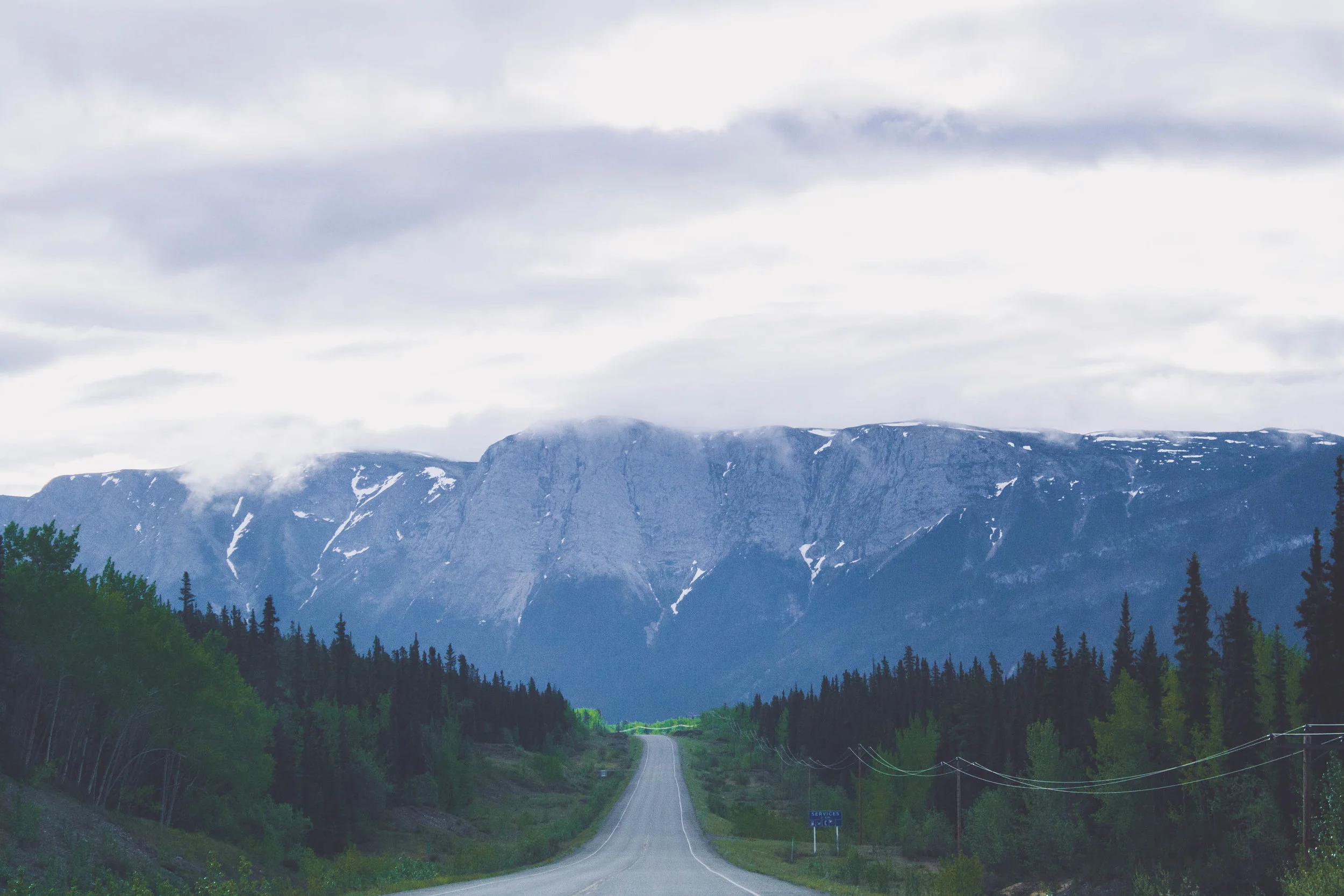
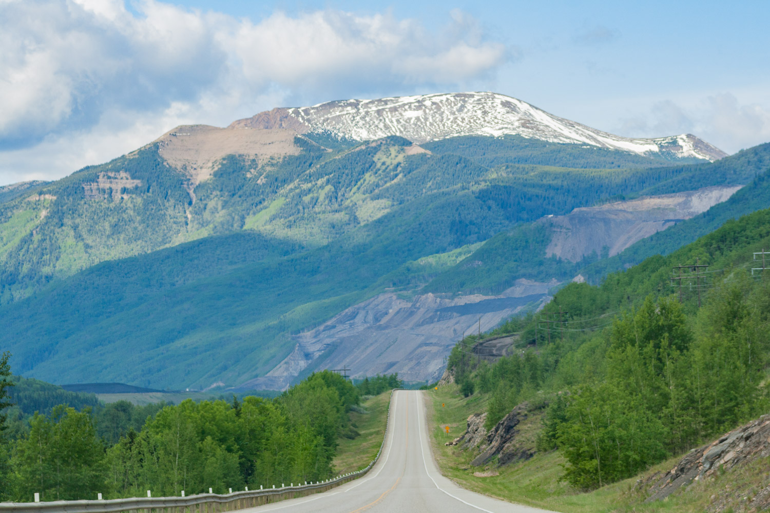
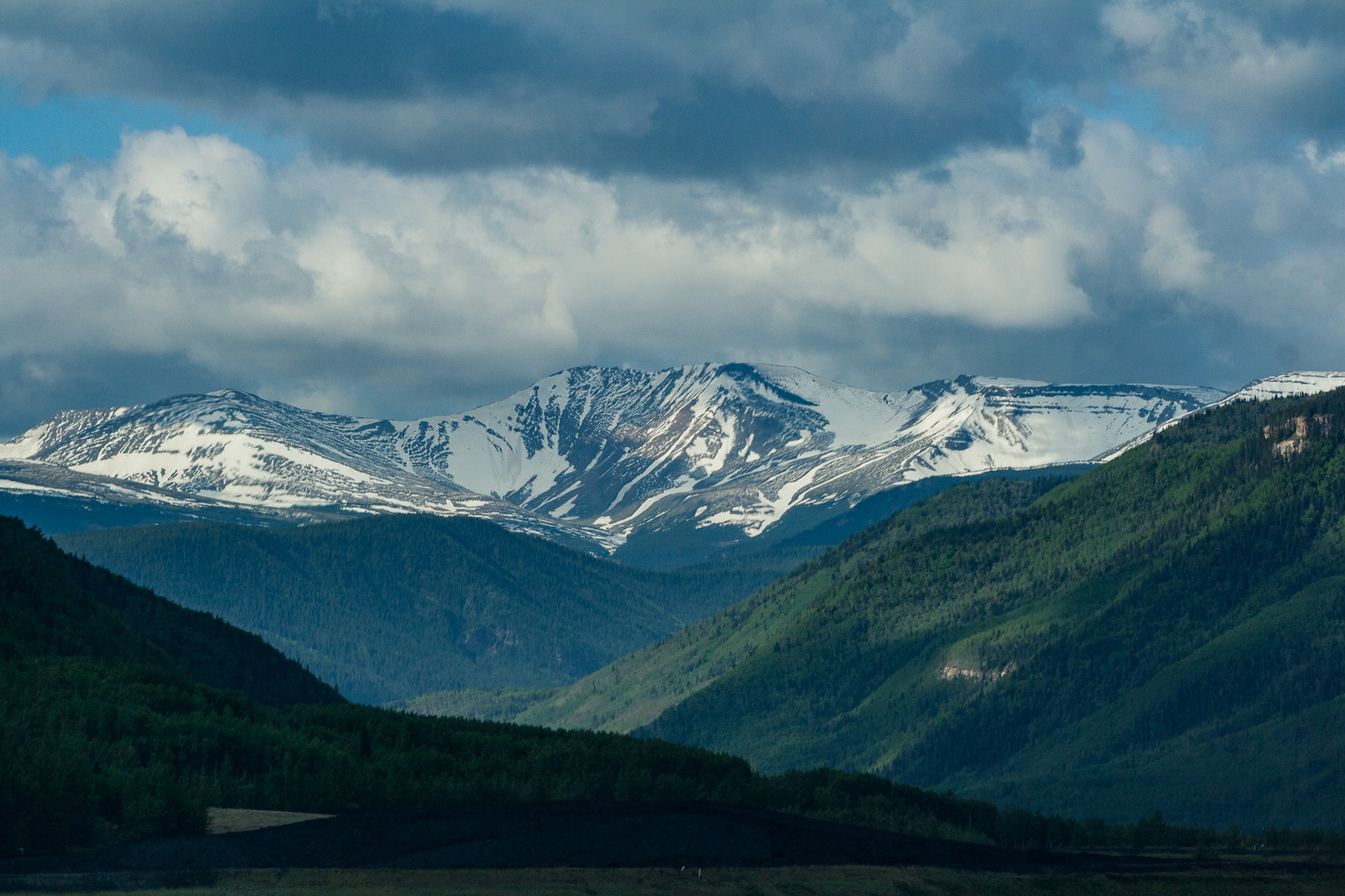
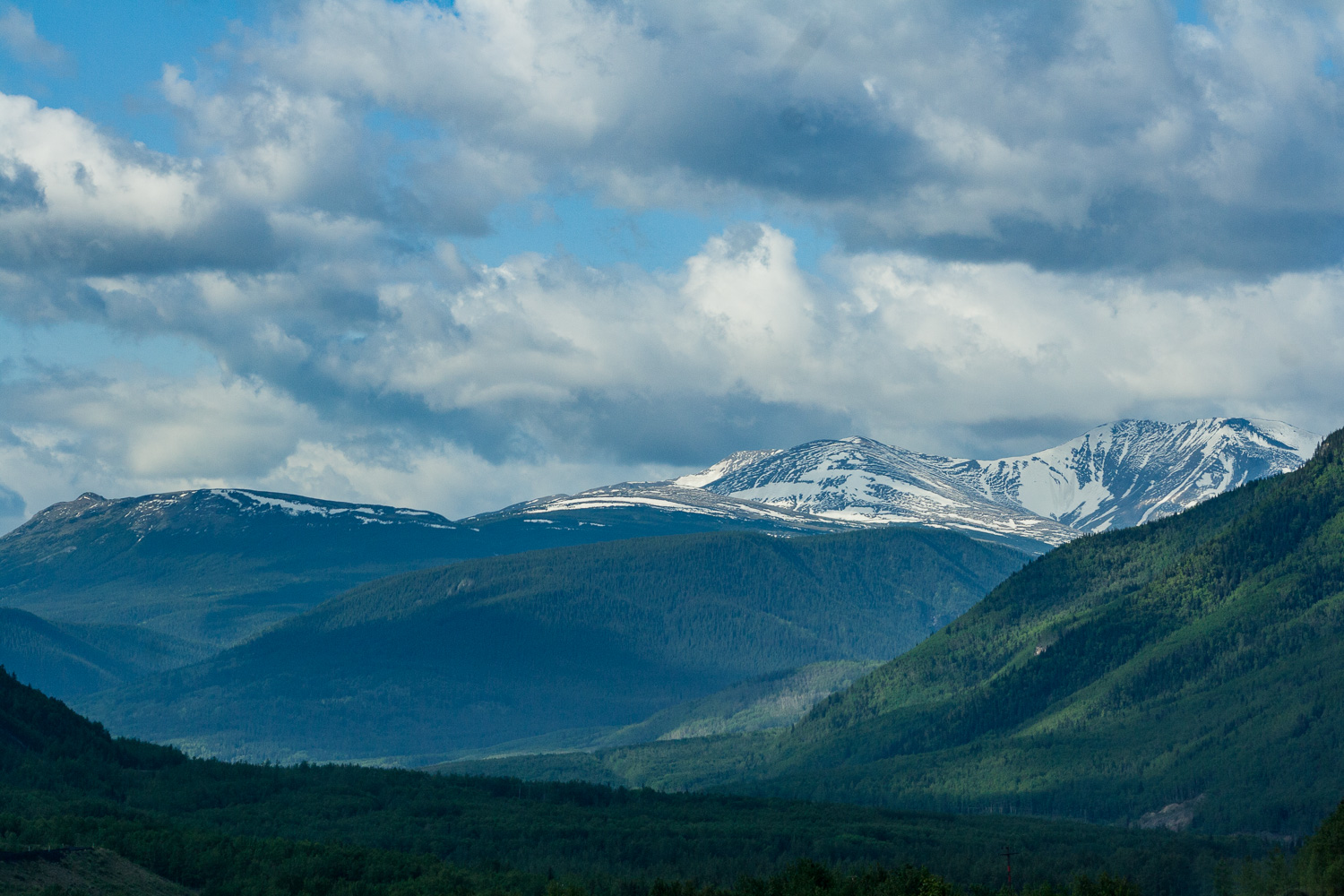
Before I moved to Alaska a Swedish friend who lives there told me that Alaska is like Northern Sweden on Steroids. Well here we were, our fifth day of driving, and I could never have imagined that the views would get even better than what they had been. At one point I looked out the window and told W, I am saturated, saturated of mountains. I said, I can’t take it any longer as I put down the camera on my lap and just stared at all these magnificent views. If Alaska is like northern Sweden on steroids, Western Canada is like Alaska on Steroids. These two coming days we were going to drive fairly long stretches, but we also wanted to explore the national parks a little bit.

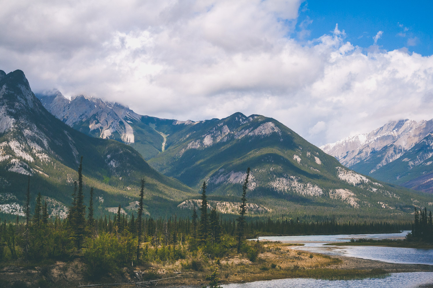
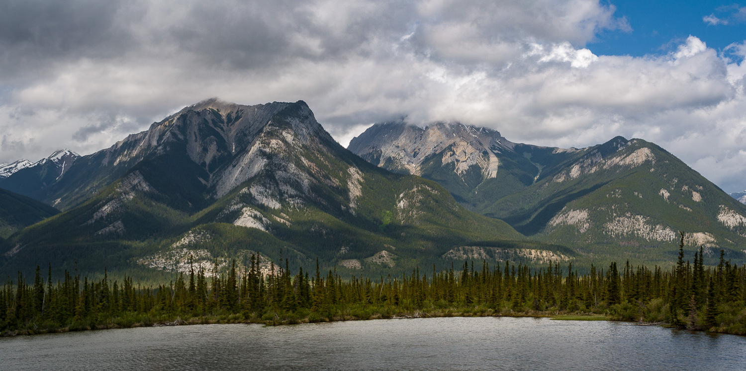
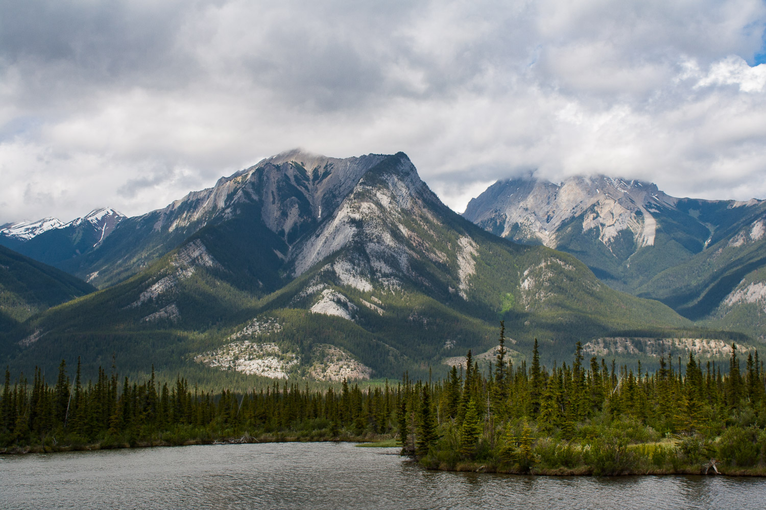
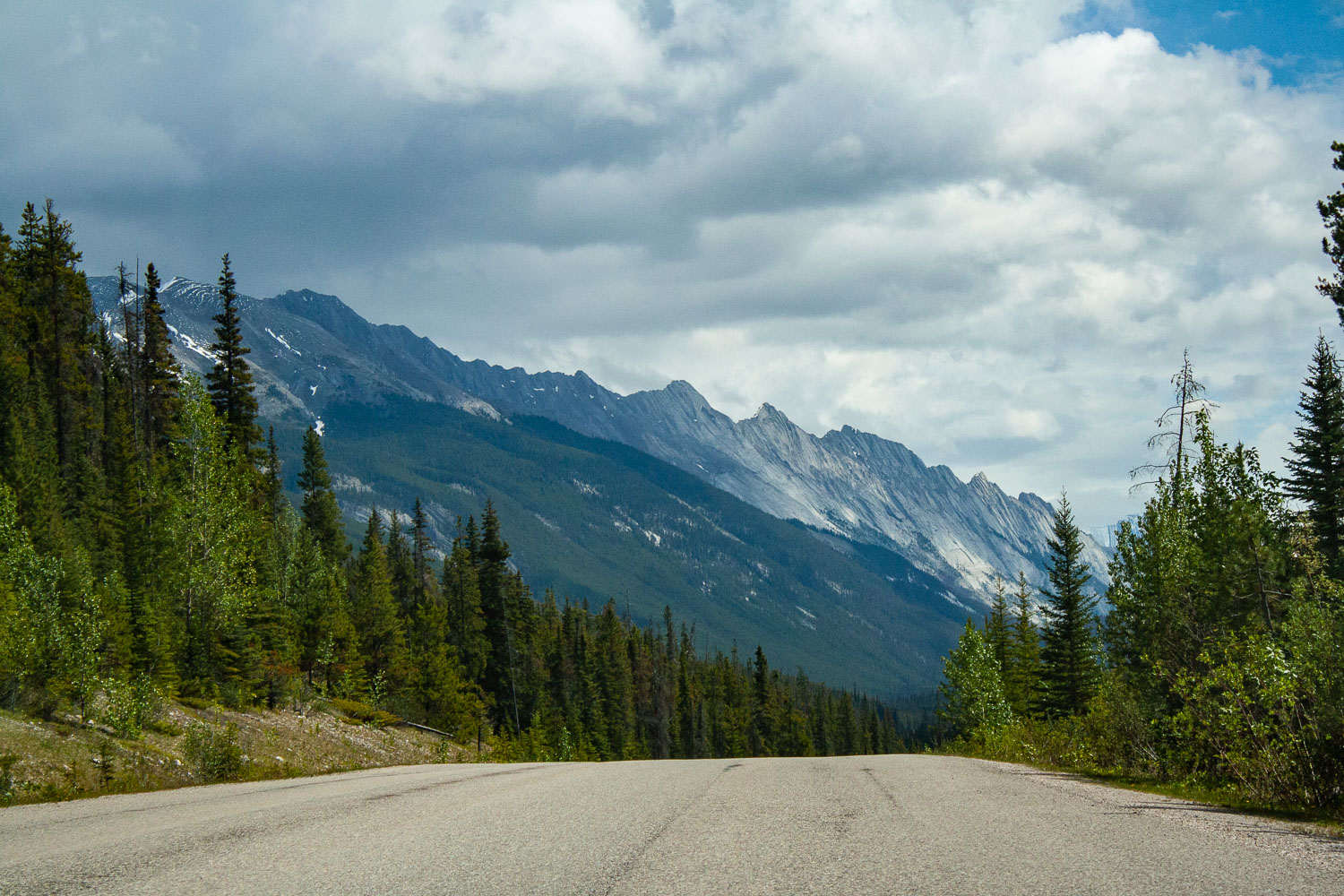
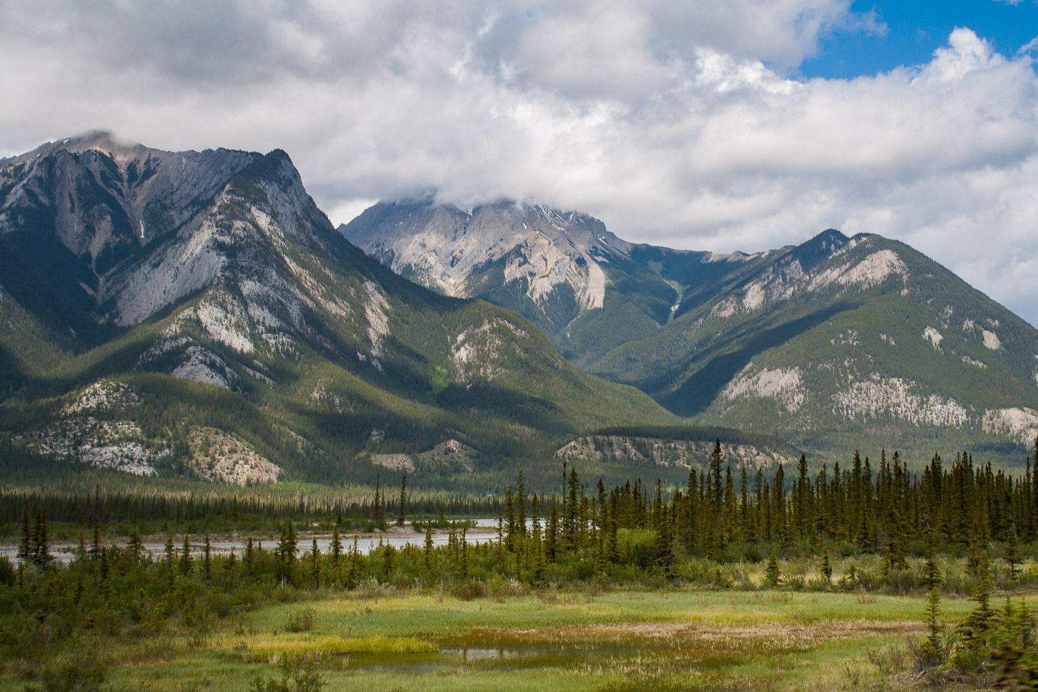
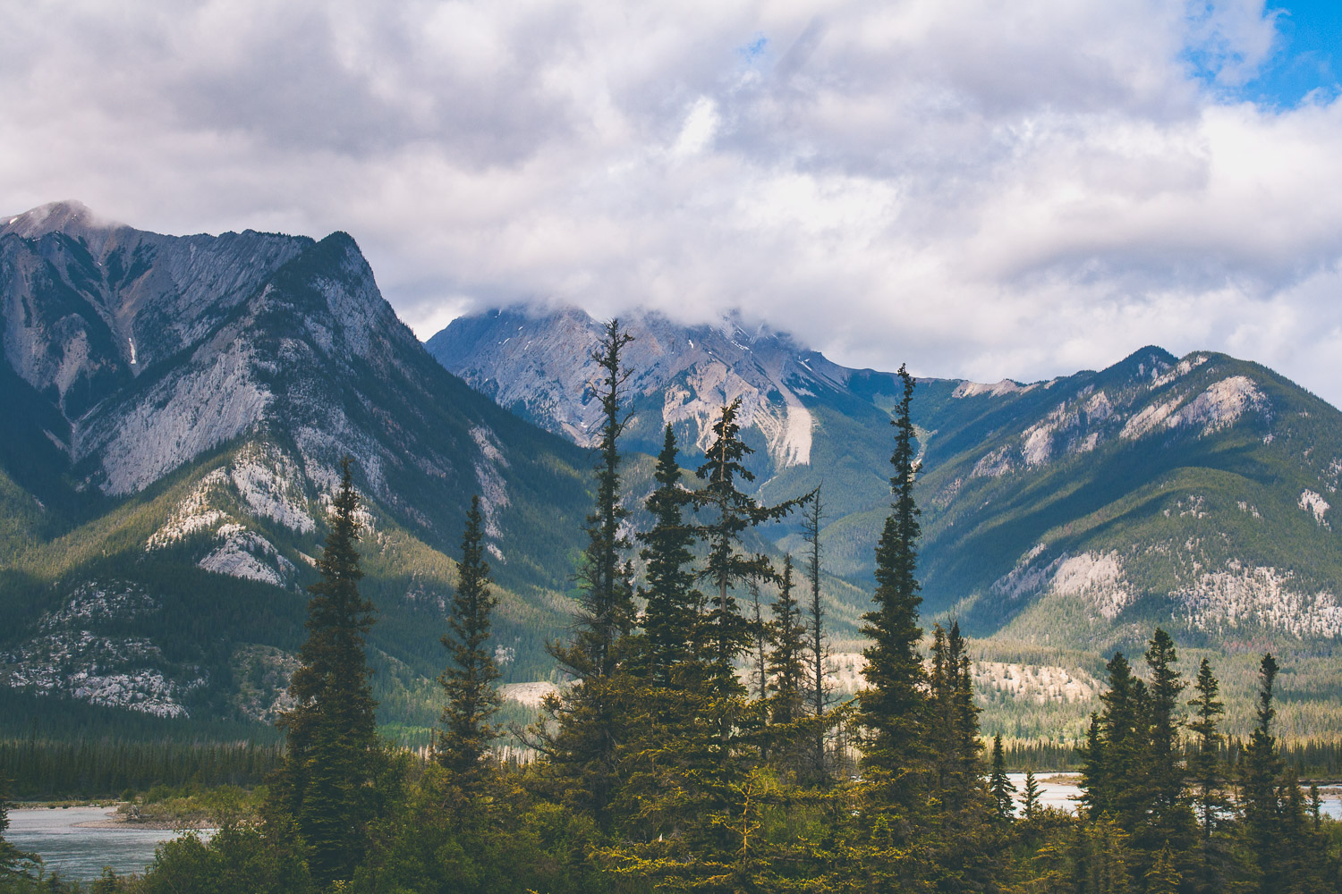
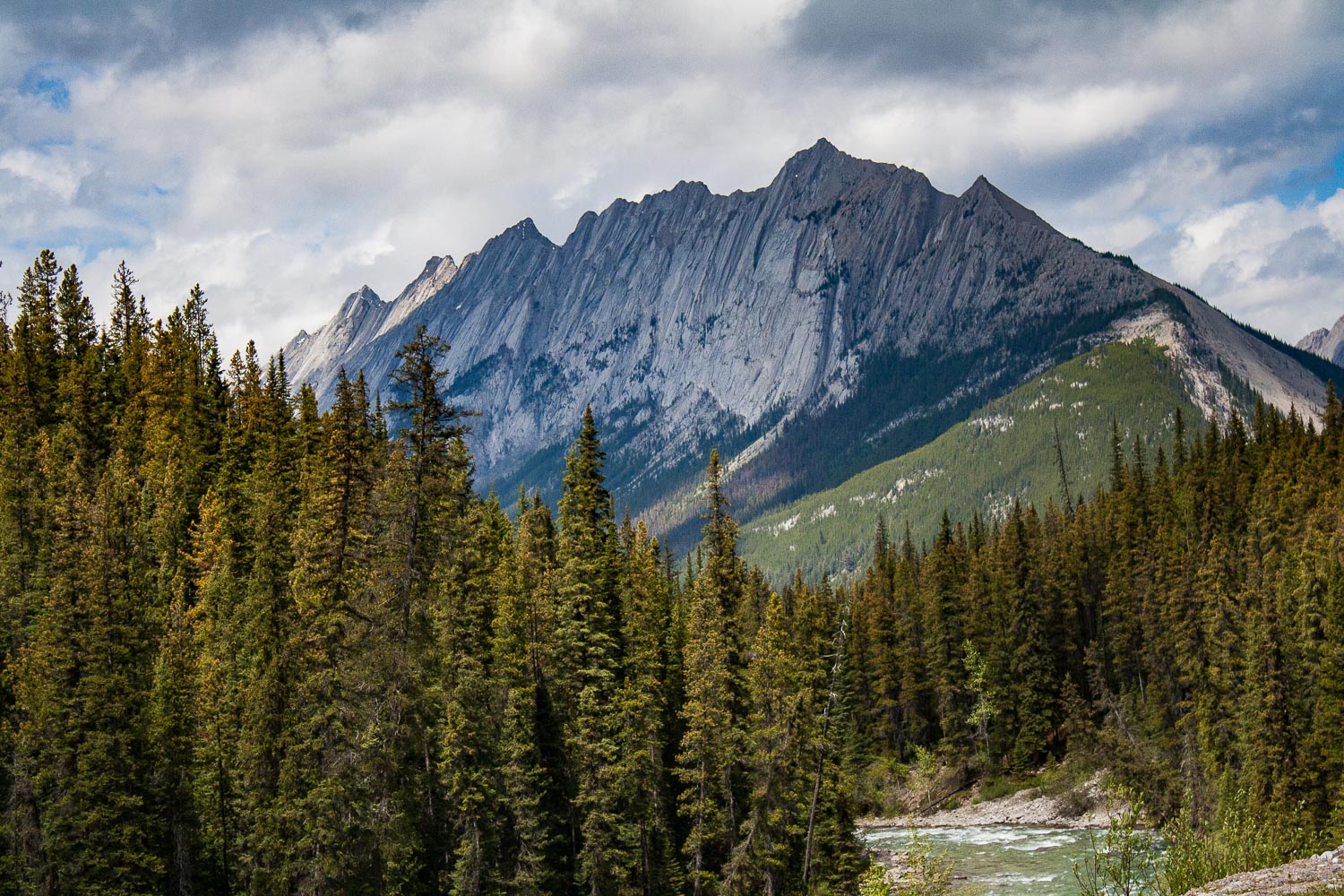
We were on the road before 8 am and I think we started to get tired by now. Day five, on our roadtrip. Last time we showered was at Liard Hotsprings, but that didn’t bother us as much as sitting still in a car. Luckily we were on our way to two incredible national parks in Canada, Jasper and Banff. Our drive was going to be short today (well, everything is relative right?), because we were finally gonna stretch our legs and conquer a mountain! After about 4 hrs of driving through a wide open landscape that slowly took us closer and closer to the mountains we were now entering Jasper National Park. As you enter Jasper the road immediately takes you into the mountains, and the views are just out of this world. I don’t know of any other place like Jasper and Banff. When you cross the Athabascan river, driving south on the Yellowhead Highway the views are just out of this world. I know I keep using the same adjectives, spectacular, incredible, out of this world, but if you have ever been here I am sure you would have a hard time not to overuse all of these describing words too.

Driving through Maligne Canyon

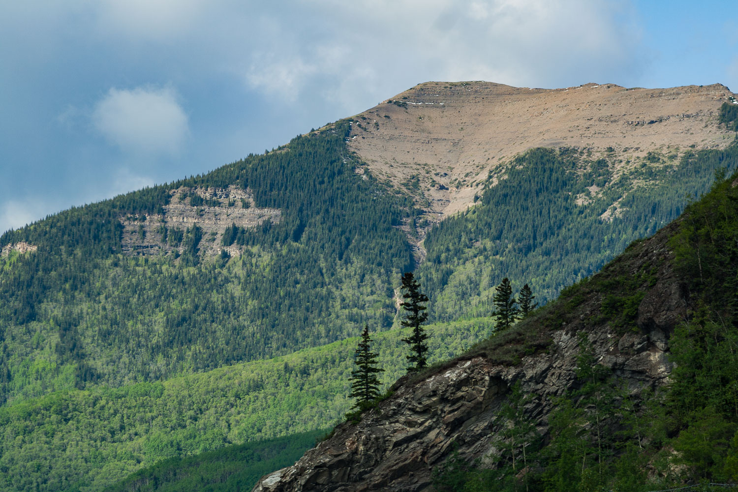
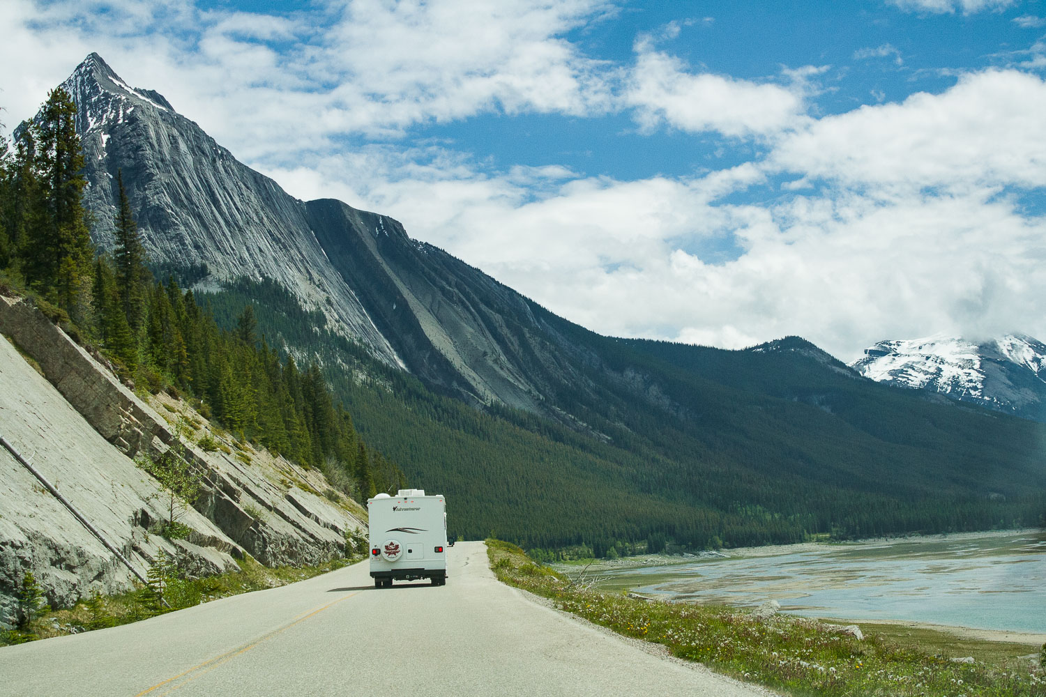
The views of deep forest, lakes and mountains could be seen in all four directions. It was hard to know where to look at times, and I wanted to stop at every pullout, which we of course did not do. We would probably still be there if I could have gotten it my way. But, we were finally going to hike, so I was super excited about that. We drove towards Maligne Lake because that is where the trail head to Bald Hills is located. We passed the Medicine Lake and drove along fire scarred forests and majestic mountains. Bald Hills summit is a 13.2 km out and back hike, that offers spectacular views. Again the weather was sunny now, but there were clouds on the horizon. I really do not know how we always manage to pick a hike where we see absolutely no other people.

Bald Hills Summit Trail

This trail first takes you through the deep forest, crossing streams and slowly going up in elevation. When you are so far up in elevation that mountains and lakes start appear through the gaps between the large trees that surrounds you. Eventually you break out from the forest and step out into the alpine vegetation, because now you are more than 2,000 meters above sea level.

Up above the treeline

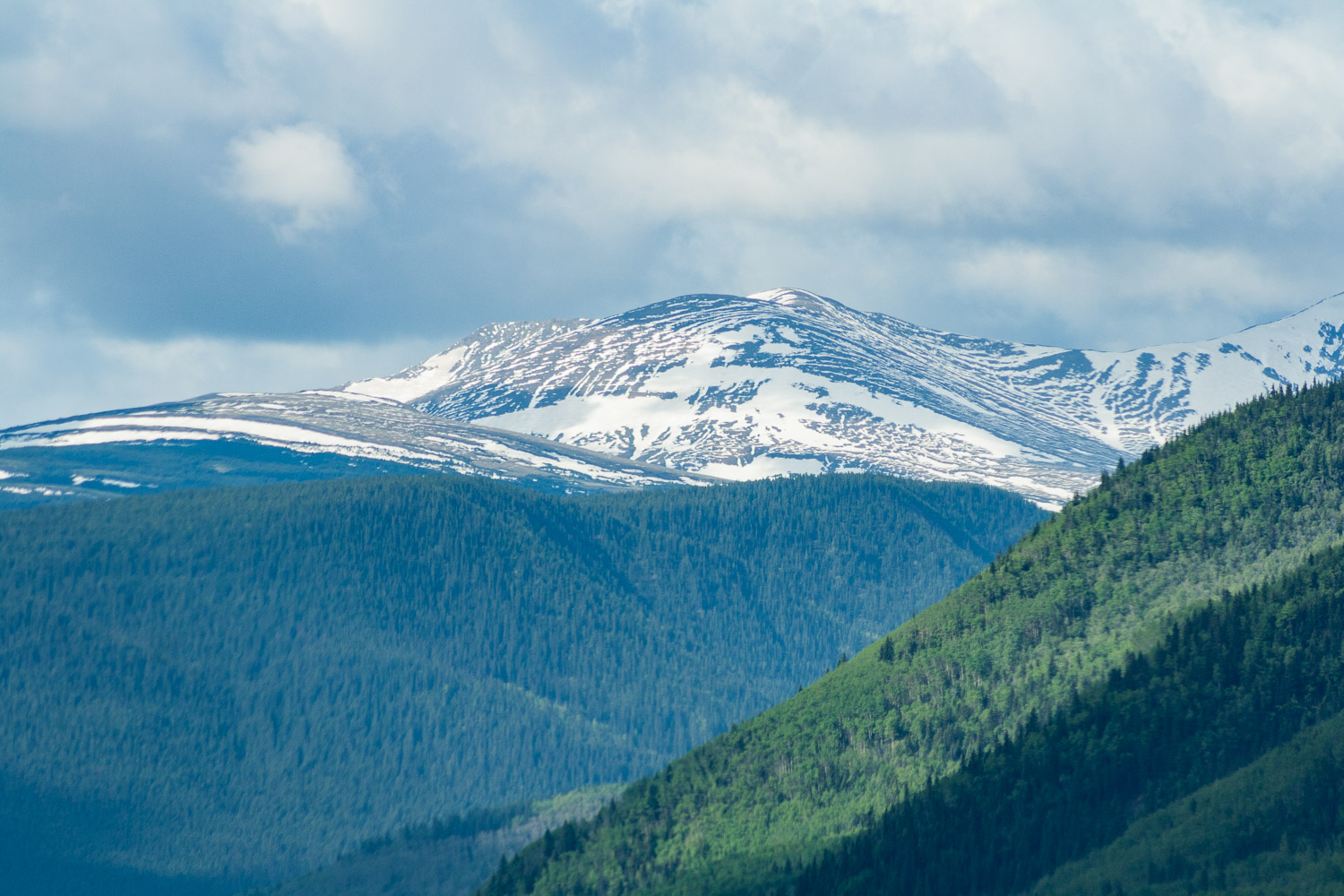
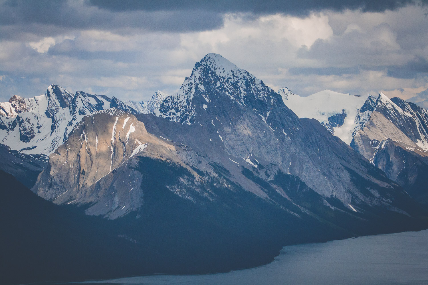
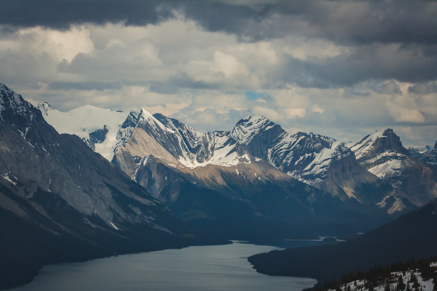
Eventually we broke through the treeline and ended up in a field of snow. It was indeed late May, which in the mountains still mean snow. And the mountains, those mountains wherever you turned your eyes. The last part of the trail is fairly steep, and we were walking through some very deep snow. From the top of the Bald Hills summit you have 360 degree panorama views of the Canadian Rocky Mountains. From the top you can also see Maligne lake, the lake we could spot through the trees earlier. Of course with the rain constantly haunting us we managed to see a wonderful full rainbow over the mountains.

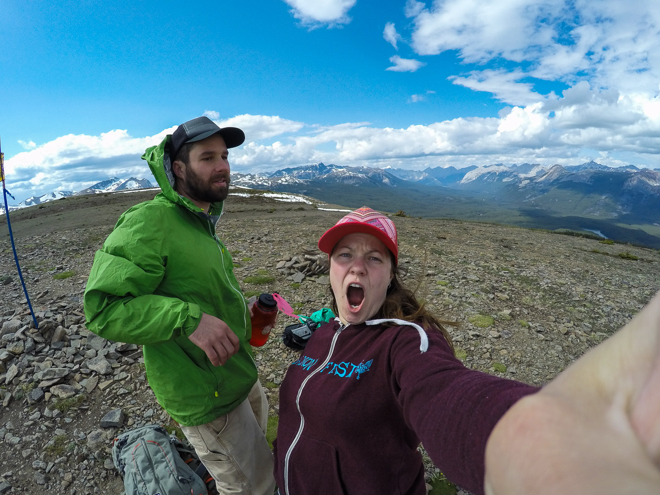
Of course we had to take a few selfies in the mountains too! On the way down we played around in the snow a bit until we reach the trees and the forest again. We had such a good luck with the weather, but as always the dark clouds were coming towards us, and we got in a hurry to get off the mountains before the rain came.

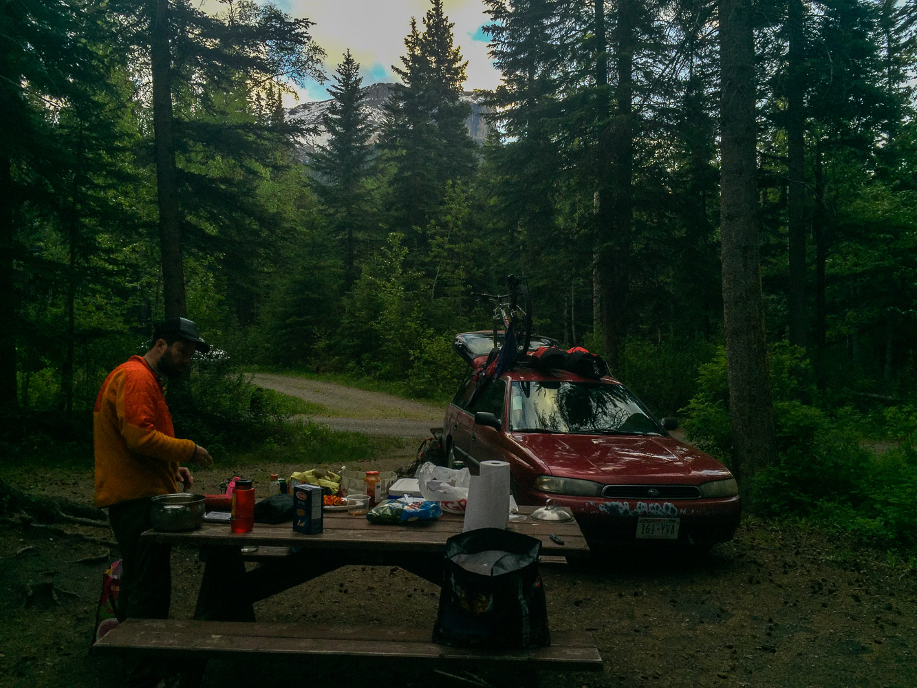
When we were done with the hike we went and got a camping spot. We didn’t want to drive too far after the hike so we had picked out a campground fairly close to the hiking trail, Pocahontas Campground. We had been worried about finding a spot, since it seemed like there were so many tourists around, well on the road, and not on the hike of course. But when we finally got to the campground, it was completely empty, of course. I immediately realized that we had reach civilization when I saw the soda vending machine by the bathrooms at the campground.

Day 5 trip Details - Gas, Camping, and gas mileage:

  • Canada: Shell Canada Grande Praire AB. 18.5 miles from Saskatoon Island Provincial Park. Mileage 25 miles/gallon

  • Canada: Petro Canada Jasper AB. 250.8. Mileage 24.49 miles/gallon

  • Total driving on day 5, about 269.3+ 29.9 miles from gas station to Pocahontas Campground (299.2).

  • The grand total of the whole trip: 1702.3 miles

  • Campground: Pocahontas Campground, AB

Conquering Algonquin Peak

Adventure Tuesday

Go North

When our friends sent us a wedding invitation to come to Montreal we did not hesitate to rsvp yes right away. It had been a different issue if we still lived in Madison. Money is always an issue and flying is (almost) always expensive. But living in New York, Montreal is actually really, really close. But we couldn’t just drive all the way up there and back again so we decided to make a stop in the Adirondacks on the way back to New York City. Driving north through the Adirondacks we were treated with the most eye catching fall colors I have ever seen. Red, orange, yellow and some greens from the coniferous trees. It was so beautiful and we knew we would see that again in a few days.

Heart Lake Campground

We hadn’t done enough research on where to camp or where to hike either to be honest. I found a hike on a website that looked pretty cool. They said it is moderately trafficked, because here in New York State there are many many people, and finding an empty trailhead is unheard of. The hiking itself was rated as hard! We chose the nearest campground to the trailhead, which is run by the Adirondacks mountain club. We arrived in the late afternoon and were a bit worried as we approached the campground and there were plenty of cars parked on the side of the road. We knew New York State is different from Wisconsin, Alaska, and Montana, but we were pretty shocked to see the amount of people that a trailhead like this apparently brought. There seemed to be plenty of open camping spots though, but it comes with a price. 40$. I was shocked, because you can literally get a large hotel room in Las vegas for 35$ (we actually did once) so paying 40$ to pitch a tent felt wrong. But since we hadn’t done any research and were tired since this was also the day after the wedding we sucked it up and payed, for one night. The next day we payed for a second night. We also bought firewood, because you have to have a fire if you are at a campground. We payed 7$ for a bundle. Started the fire and the wood was partially wet. This made me even more pissed but we sucked that up too. And we did have a nice evening at the smoky fire anyway, reminiscing about that time in Canada, where every campground provided free (and dry) firewood.

Not that prepared?

We hadn’t really checked our grab box with all the kitchen stuff so we also discovered essential pieces were missing. Like a can opener. The lighter was singing on it’s last song too…but we (barely) made it. (wouldn’t have been the whole world because you could buy lighters at the campground). I had saved important information about the hike on my phone, in my maps, but I closed te map app and with no cell service we could not access that again. Which didn’t really matter because the next morning my phone died anyway (my battery is also singing on it’s last song). The next morning when W went and payed for our second night he bought a map.

Avalanche Lake

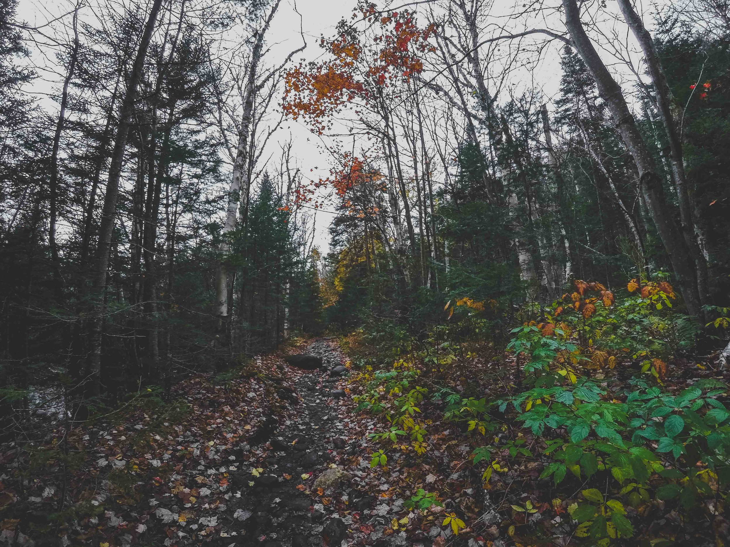
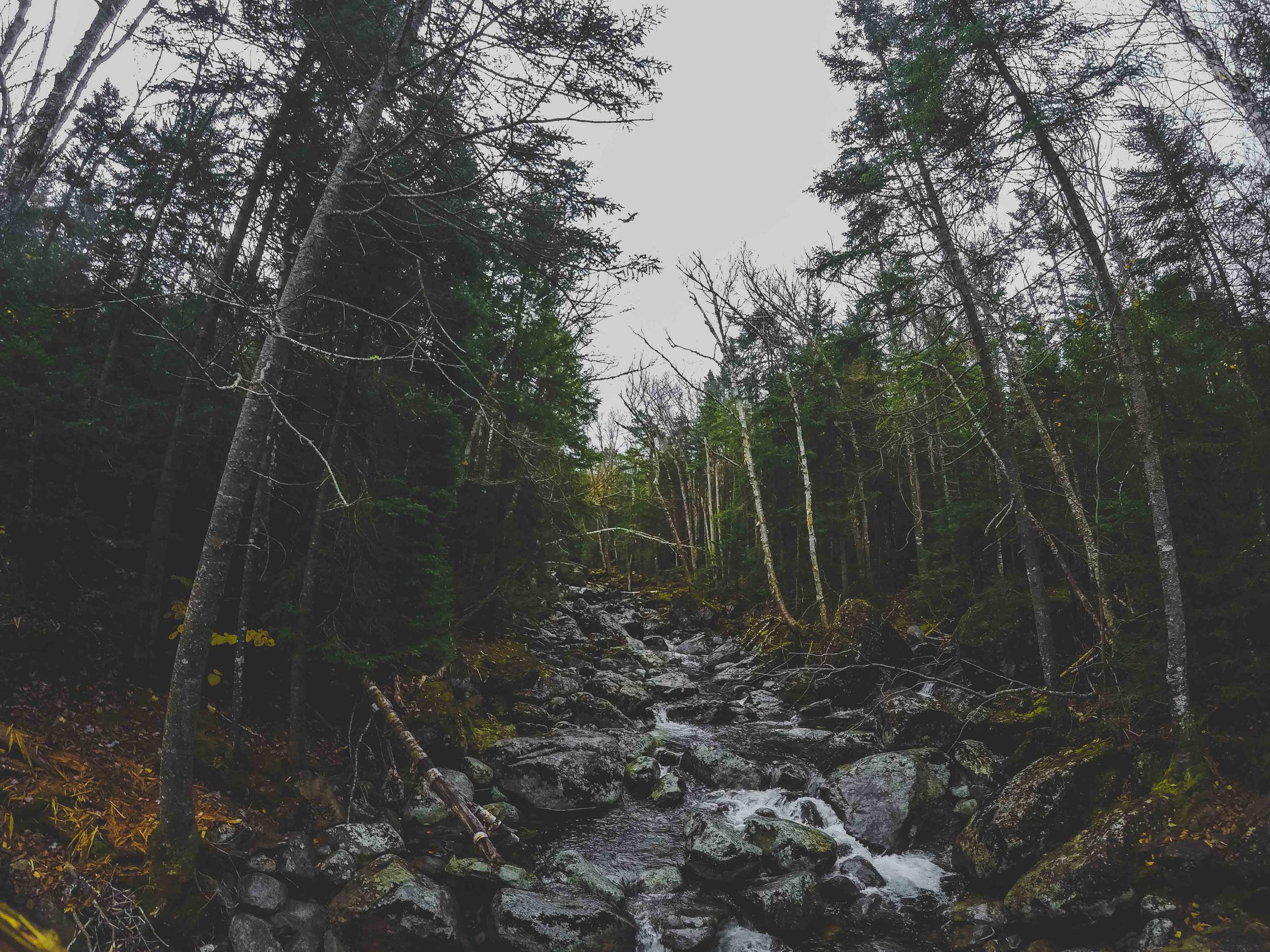
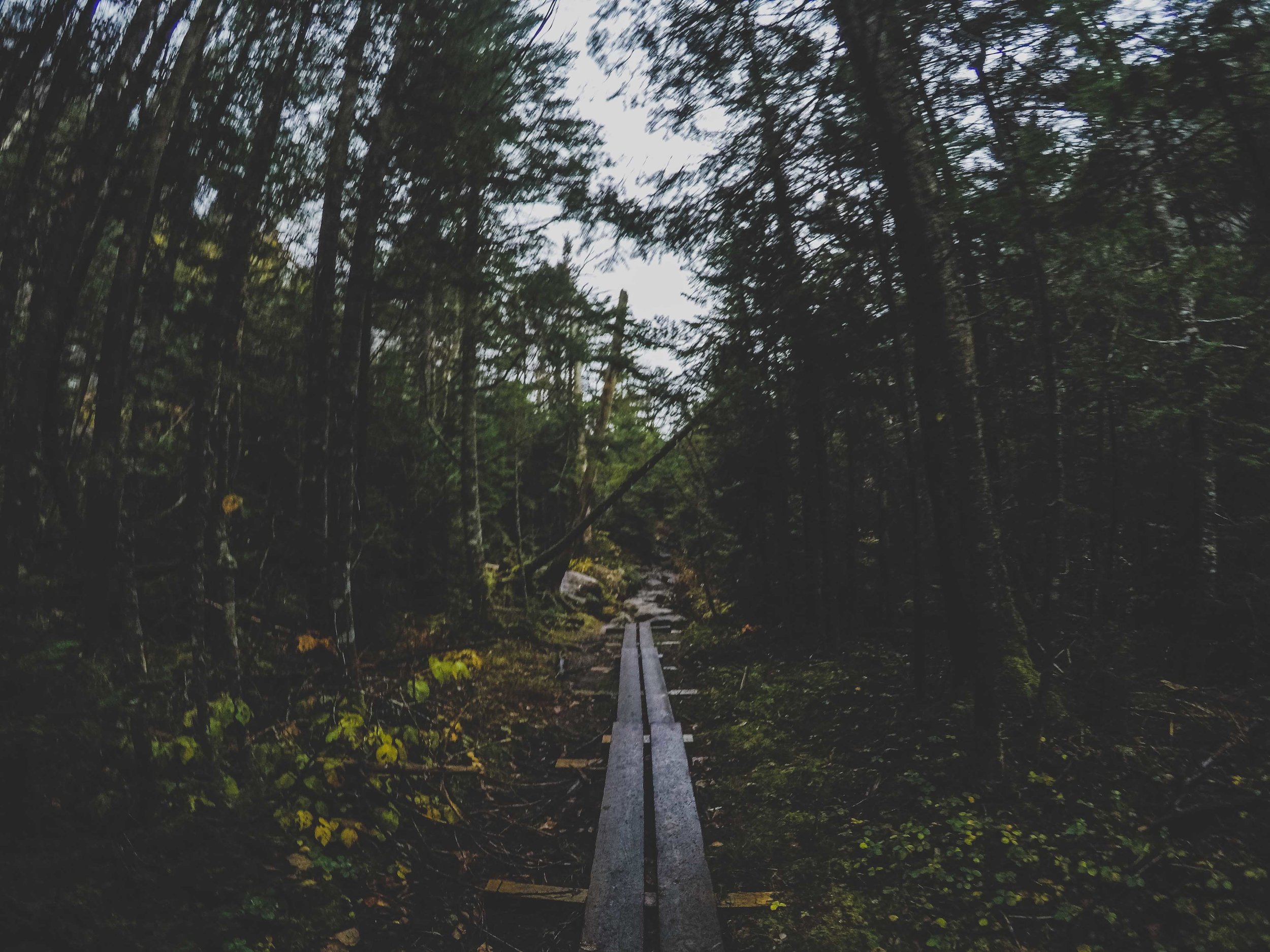
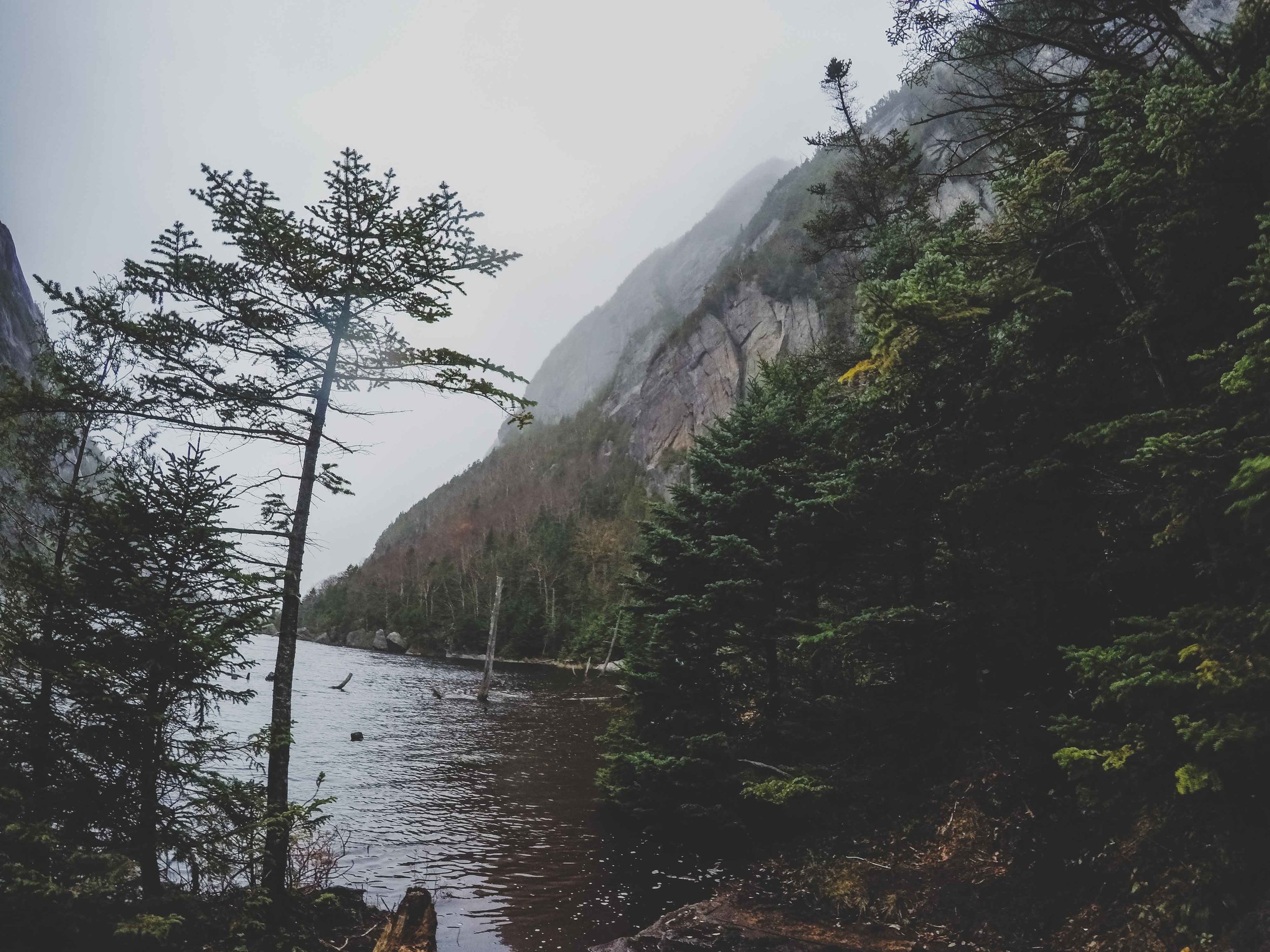
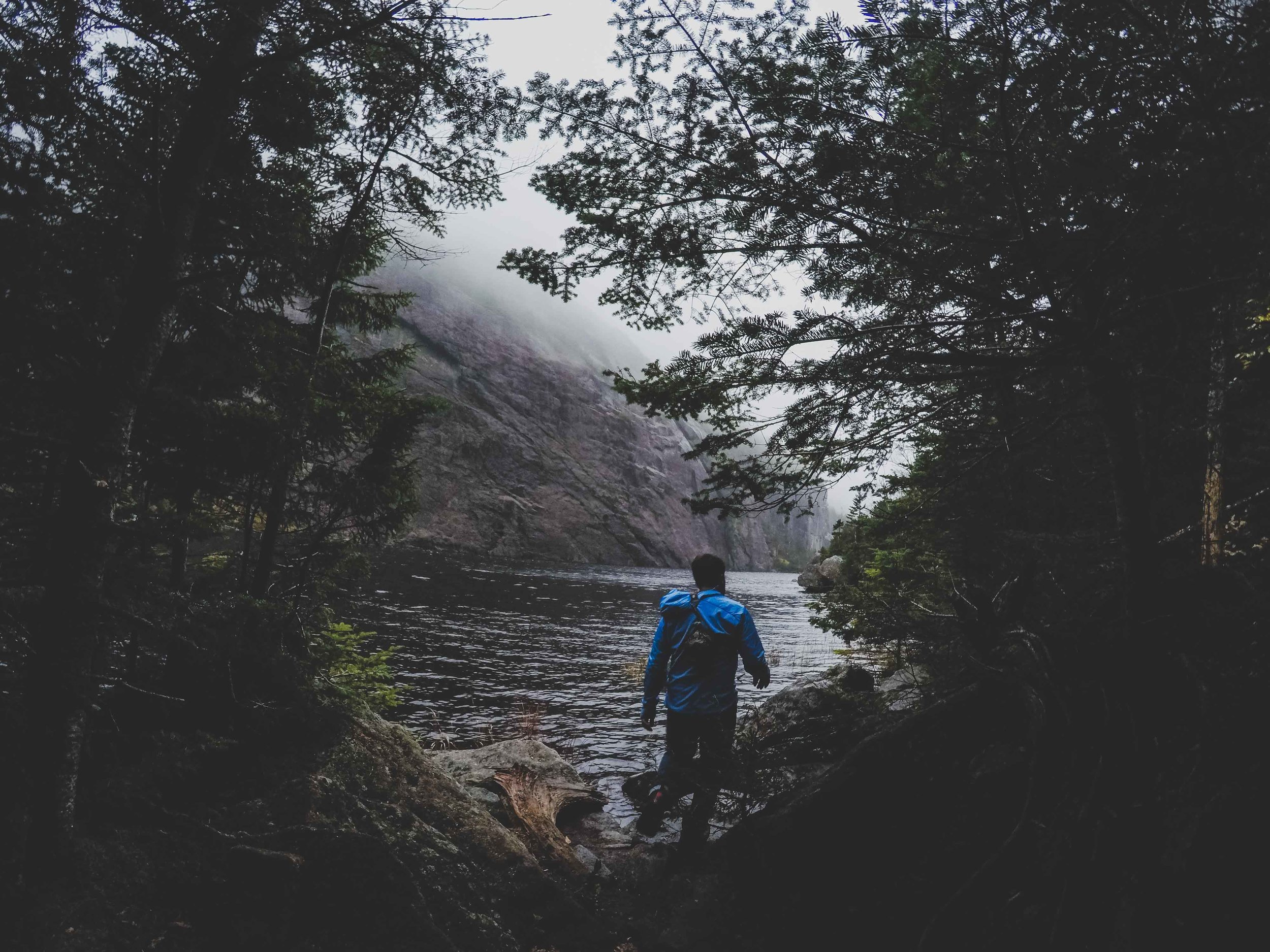
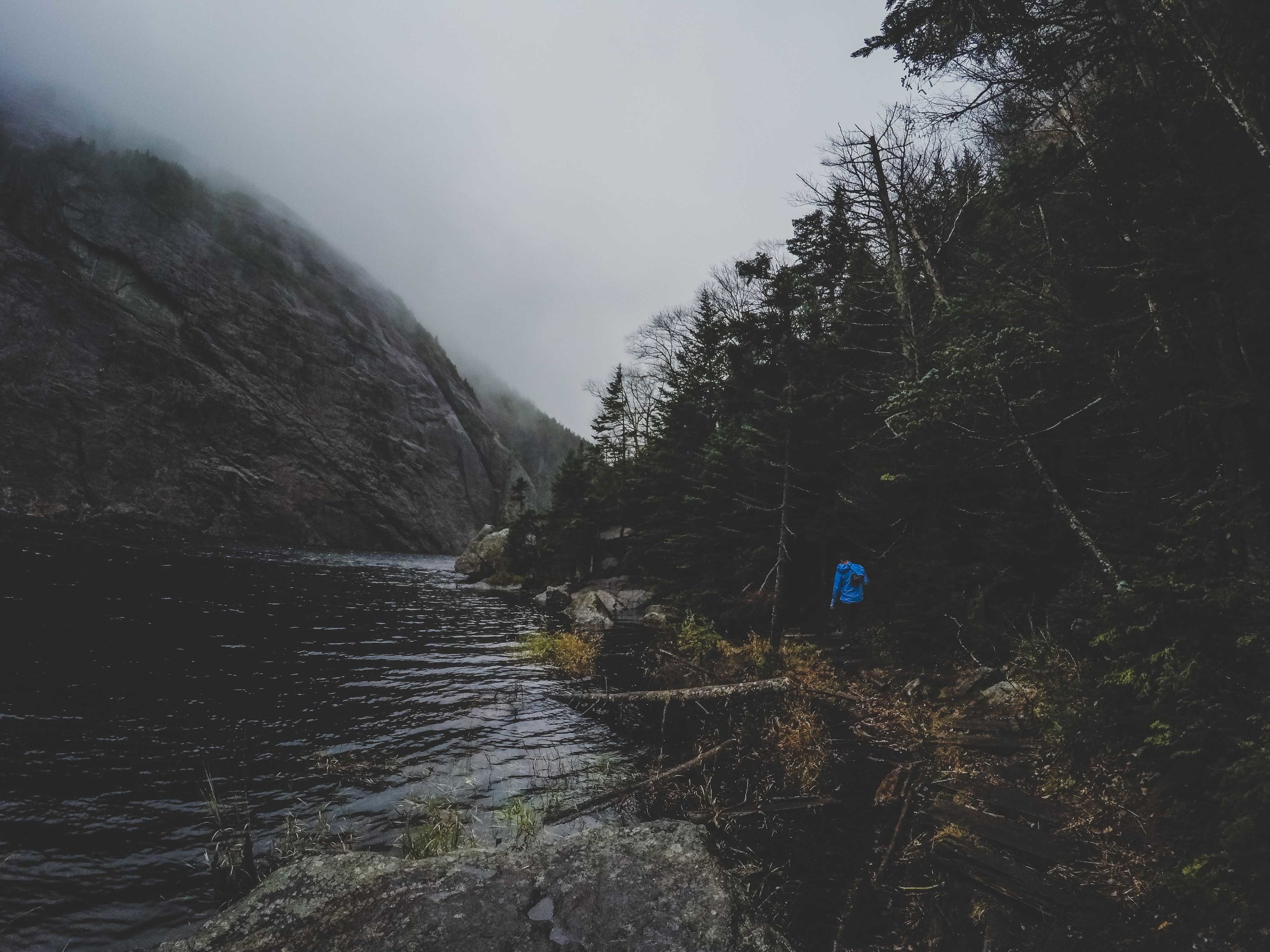
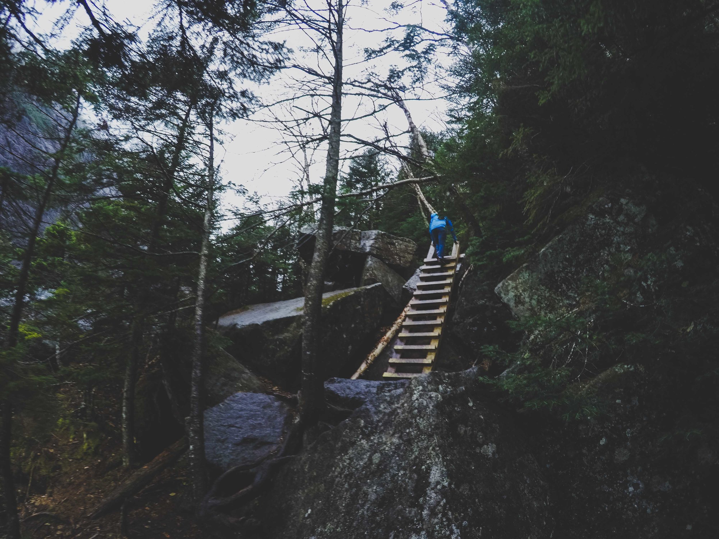
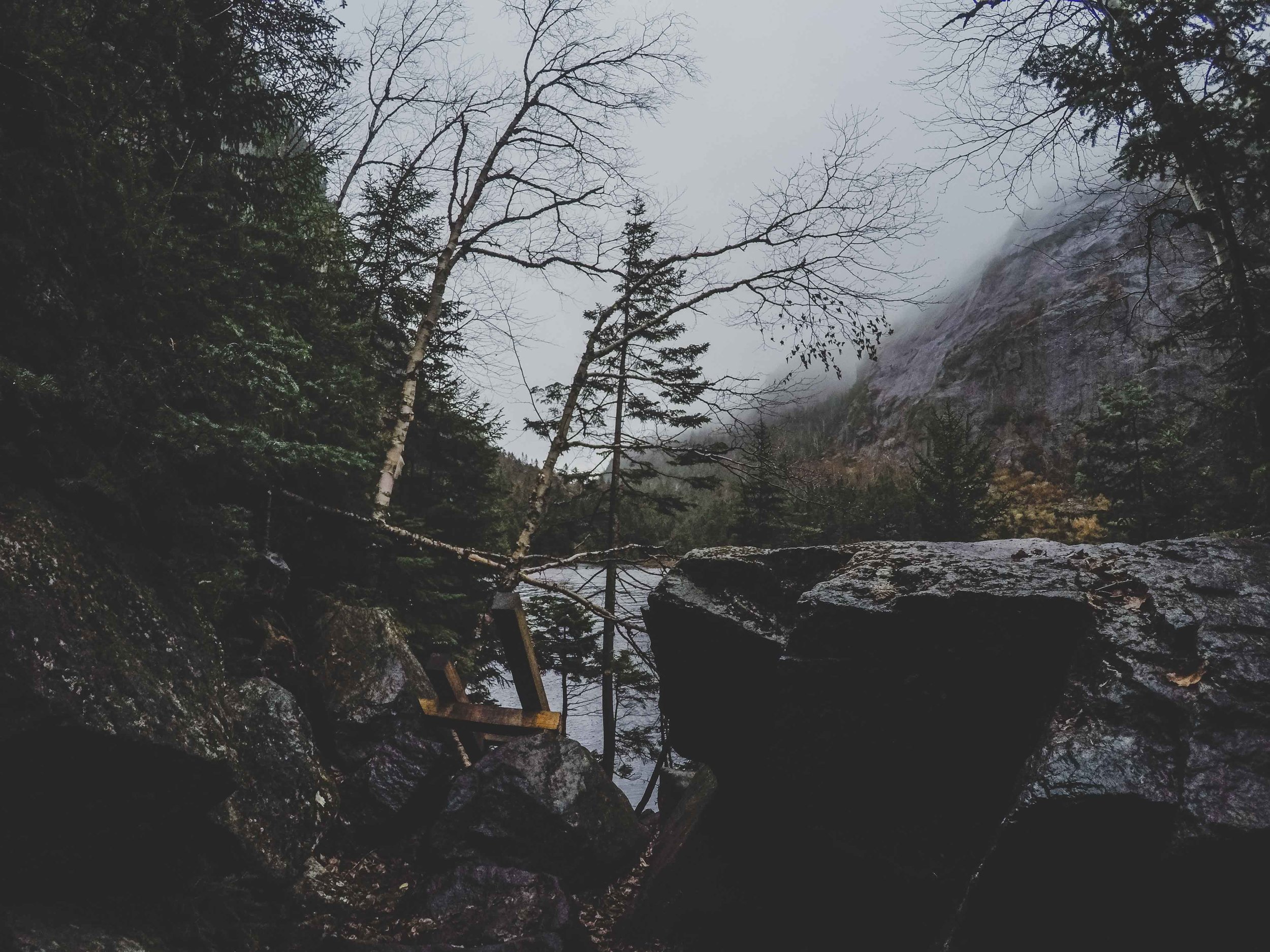
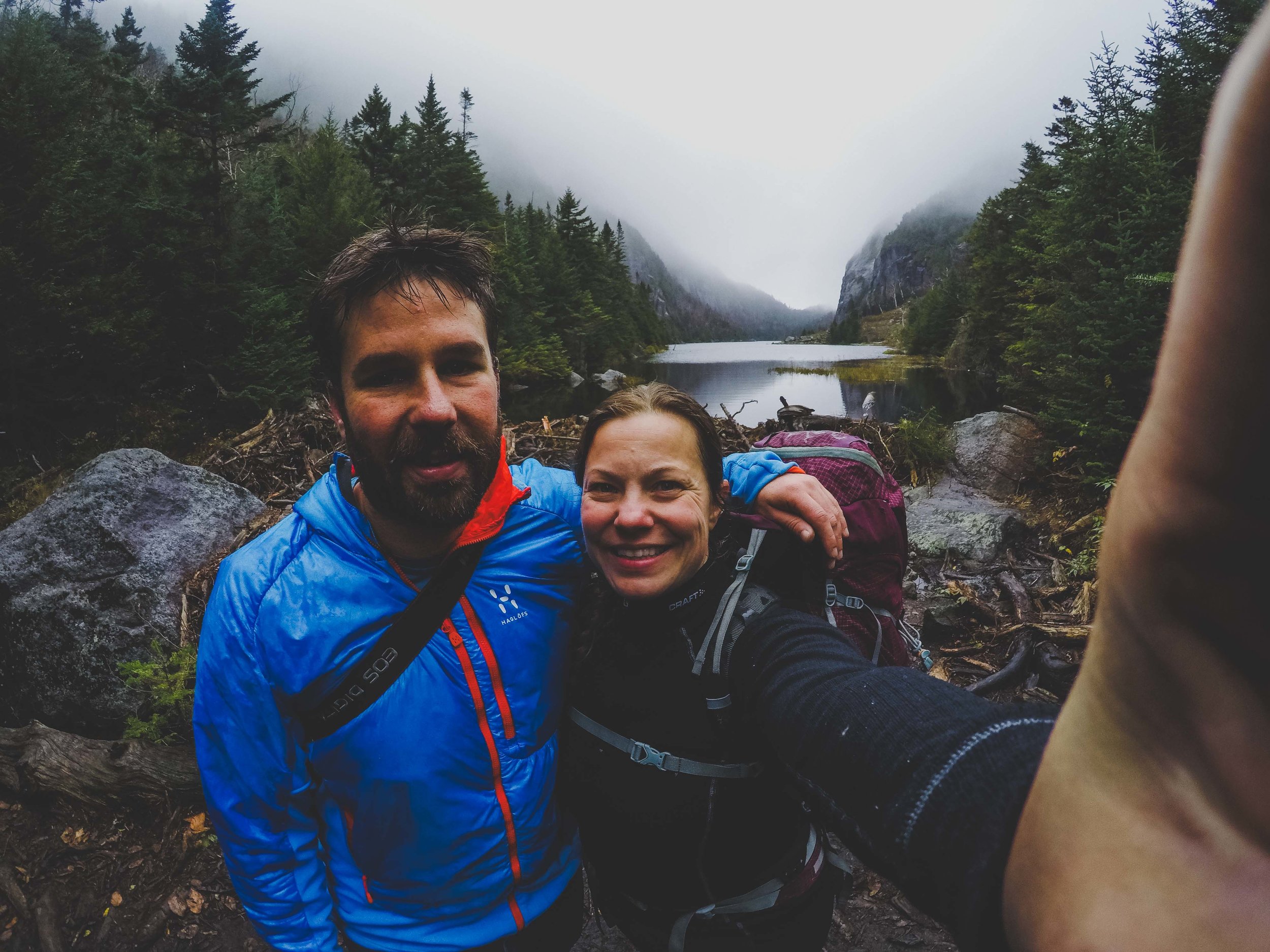
The morning had shown some beautiful pink colors mixed with the existing fall colors. I went down to the lake and saw termination dust at the top of the nearest mountain, the air was cool, but I don’t know the temperature. Clouds were slowly coming in, and the weather forecast had said 70% chance of rain. We didn’t see anyone at the trailhead, and only a couple of parked cars. It was Monday after all, so we probably wouldn’t see that many other people. We met about three other pair of people coming back to the trailhead during the first three miles and those were the only people we saw until the very last bit of the hike. The hike starts through a beautiful forest dressed in yellow orange and green with some hints of red. You continue through that during a few miles at the same time as you are hiking up in elevation. Eventually you reach Avalanche lake. Low hanging clouds draped the lake and the surrounding mountains in this beautiful white veil that made the whole lake seem surrealistic and spooky. We continued hiking along the shoreline which included climbing boulders, ladders and hiking over the water on boardwalks. It was slow, because of all the obstacles and we started to get a little concerned about time. We had started around 9.30 am and this was suppose to be a 12 mile hike after all. You hit Avalanche lake after about 5 miles, so only a bit more than a third of the way (more or less), and I think it was starting to get close to noon as we approached the other side of the lake.

Up, Up, and Up

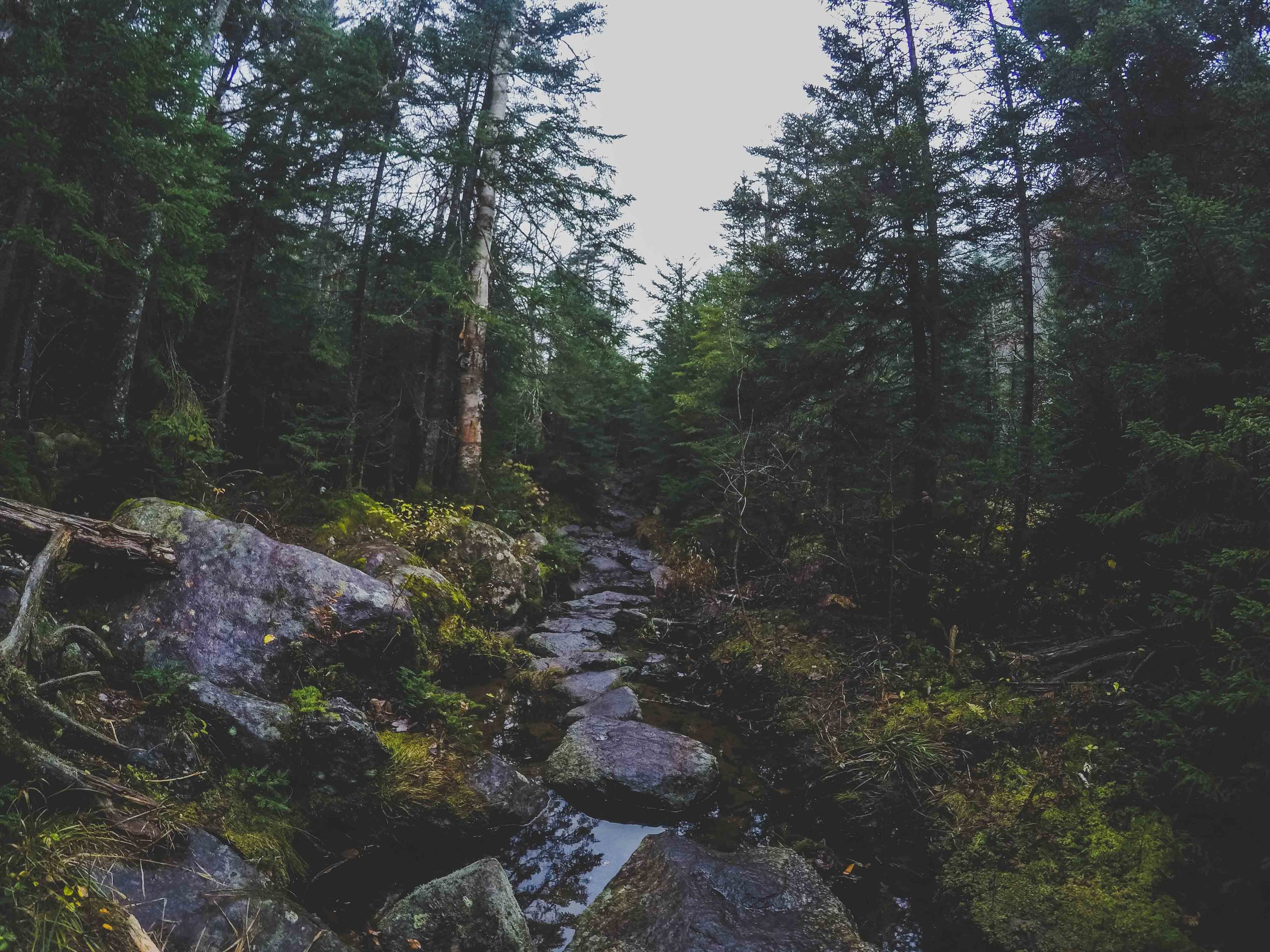
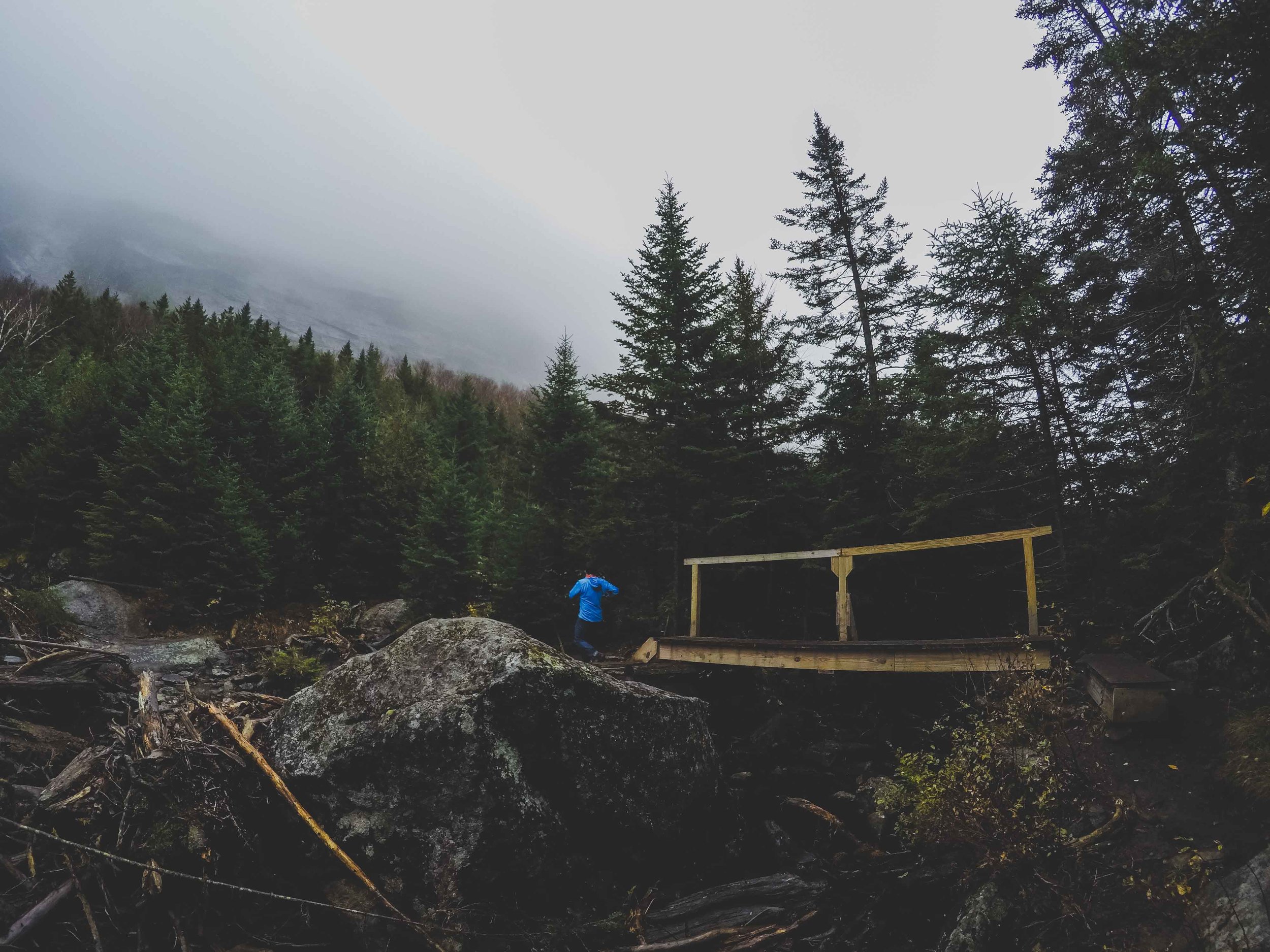
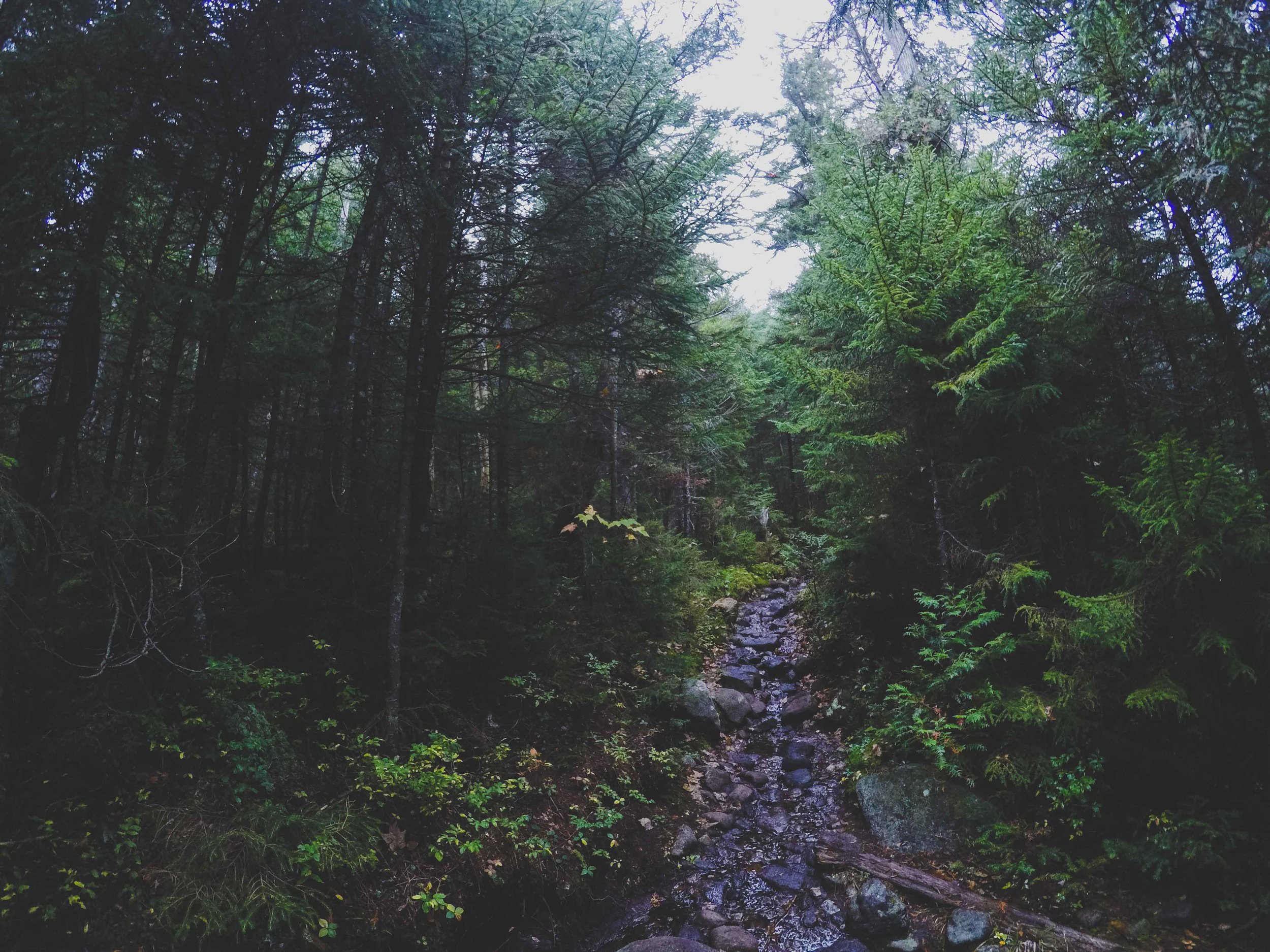
After the Avalanche lake we had some light rain in the air and could still see nothing (no view that is, which we never ever did during the rest of the hike either). But, even rainy days like this create a beautiful landscape. We hiked on a severely eroded trail, which looked like a stream bed, and from time to time I was unsure if we were actually hiking in a stream, because there was some water running through here too. Something I still wonder about, or the trail is just this heavily eroded that a stream bed has actually been formed due to the heavy traffic. The trail is hard on you because you basically traverse large boulders constantly, and no way to not hop from one boulder to another. We crossed streams, jumped stones and boulders, hiked through the forest up up and up. All of a sudden the trail took us up a waterfall. The hike went on to a completely covered bedrock layer, and then switched again to boulder hopping, stream crossings and continuing up and up and up. I started to get tired, and wondered how we could still be going up and up. Time got closer to 2pm and now we really started to stress about time. We passed a sign that warned about continuing without proper gear. I was thinking to myself what is proper gear, do we have proper gear, because now it was raining a little bit more and it was cooler. But we had more than enough, I knew because I had been carrying the backback about halfway, a backpack full with snacks, sandwiches for us, our down jackets, headlamps, first aid kit. I mean what could we possibly not have. Already after a few miles we had decided that only bringing one bag was a bad idea because, it’s heavy.

Algonquin Peak

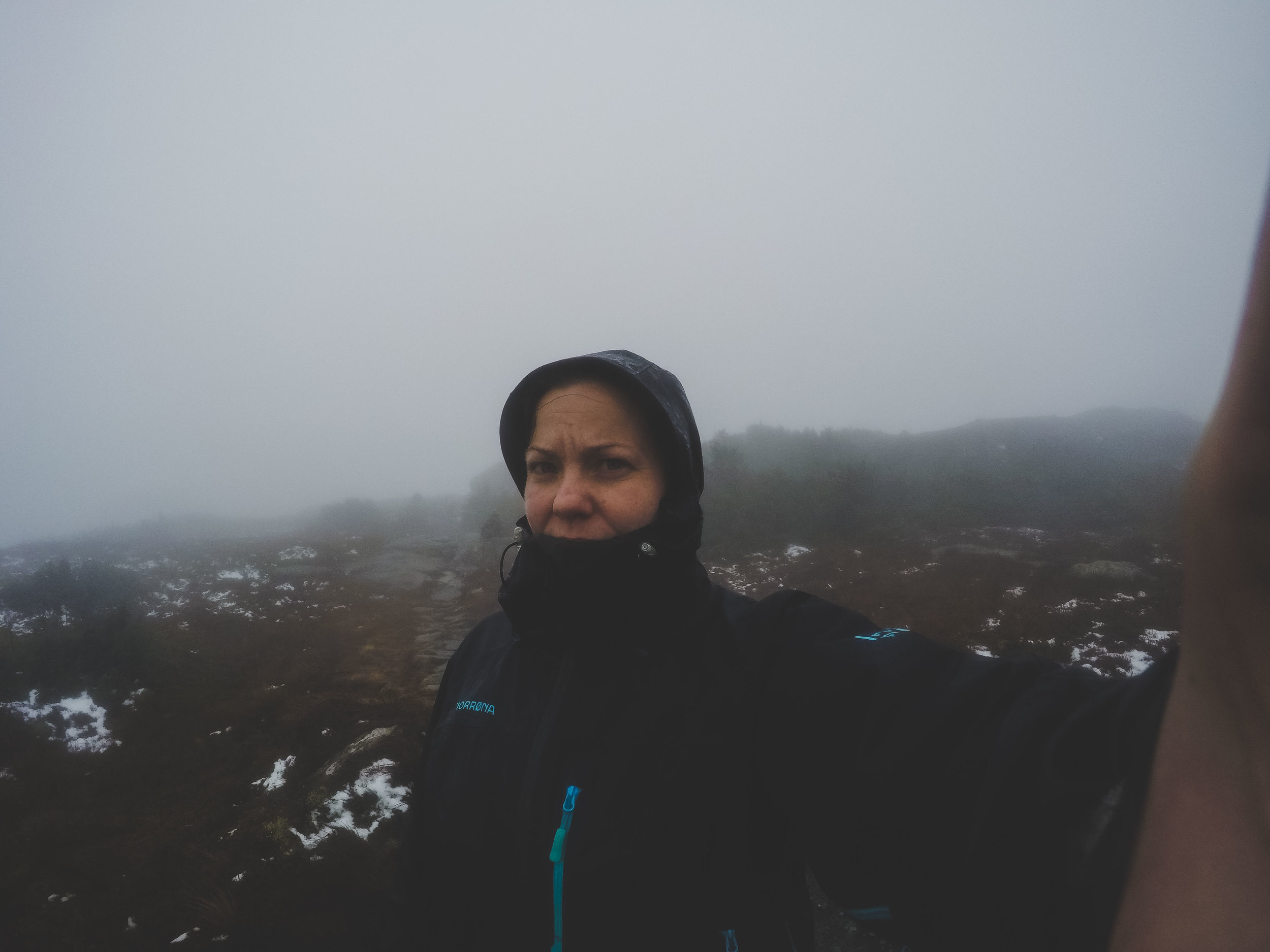
Finally we got to a sign that informed us that we were approaching alpine and arctic environment and that the plants here are fragile. A warning about staying on the bedrock to prevent harming the fragile landscape we were about to stumble upon. I could see bunchberry and labrador tea on the side of the trail, it made me smile because they remind me of home. Both Alaska and Sweden. We still continued up and up, the coniferous trees were at a majority now, and they got shorter and shorter until we finally broke out in the open, onto the bedrock tundra. We were at the top. We could see absolutely nothing. It was even hard to see where the trail was. Up on the top it was windy, very windy. We could see patches of snow, or sleet. The wind made us colder pretty much instantly. I got scared and kept thinking what are we doing here. We kept going, it was hard against the wind and I kept thinking about the warning sign about proper gear. I was tired and I was thinking that maybe I had gotten in way over my head. W was walking (or almost running) ahead and all I could think about was to keep following him so I didn’t loose him out of sight. I was so tired. All of a sudden he veered off to the left.

- What are you doing? I said
- That’s the metal plate in the bedrock showing that we are at the highest point

I felt like I couldn’t care less, but still walked up there and stood there for a moment, actually smiled. Then we continued again, faster. We finally seemed to be going down in elevation, now we got headwind. It was ripping in our face and I got cold, so cold. The bedrock seemed less appealing now because half of it was covered in ice, and we slid down on our bums for large parts of it. Finally I started seeing trees again, short, but as we dropped in elevation they grew taller. Until we finally hit the sign that showed Wright peak 0.4 miles. That is yet another peak you can climb, if you want to. We did not want to, actually we probably didn’t want to climb any mountain ever again at that moment. We were out of the wind a bit and could finally have our lunches. We ate, sandwiches, chips, cookies. I was so hungry.

W said: -that is the beauty of doing a loop, there is no return after you gotten halfway, might as well keep going.

Down, Down and Down

We ate pretty quickly, because right now it was really really cold. We started to walk again, down, down, and down. It was trickier being on this side, because the headwind caused a lot of ice on the bedrock. We crossed more streams, and started to decend into a birch forest. Now we ran into the only other people on this hike (except for the 4-5 people we met in the morning hiking out), they were also on their way down and back to camp. This couple was actually our tent neighbourhgs. They had tried to conqeur Wright Peak, but had turned around halfway to the top because of the wind. W said, that is the beauty of doing a loop, there is no return after you’ve gotten halfway, might as well keep going. We had finally started to get warm after hiking pretty fast, so we quickly continued down and said bye to the couple. We had been hiking for six hours now, and I started to feel my muscles in my thighs, they were tired. Now we started talking about a hot shower once we got back, because they do have hot running water at this camp, and showers. I guess that is one of the benefits for paying 40!!!!$ per night. Once we got to the sign that told us 1 mile back to camp I was so happy.

And then the Rain Came

Once we got back to the campsite it was already about 5 in the evening. We took a shower and after that the rain started. It was pouring down. We were sitting in the back of the car drinking beer and hoping for the rain to stop. But after a while I said, we better start cooking because I don’t think this will stop. It didn’t stop. We had already been wet, now we were dry so weren’t too excited about potentially getting wet again. We ate tortellini in tomato sauce and it was the best meal I’d had in days, well not really but at that moment that is how it felt. We went to bed pretty early that night again. On the way back I started googling about the peak and discovered that this was the second tallest peak in New York state, who would have known. We want to come back and conquer that mountain and see all those 360 degree views. We did a total of 12 miles and a net gain of about 4000 feet. We were beat but it was probably one of the best hikes we have ever done. AND on top of that we were literally the only people on the trail. As we were leaving the campground we could already see the distinct difference in the fall landscape. All that wind had literally blown all the leaves off the trees. And we have already started thinking about next years fall trips.

Jinxing it?

Wednesday Thoughts

Bears

    As you probably have read earlier I am obsessed with bear and moose safety. With all the wild animals that walk around the watershed I've taken many classes on bear safety and how to act in order to prevent a bear encounter. A few weeks ago there were two bear attacks on two separate days at two different locations in Alaska, both with a deadly outcome. Both including a black bear. It made me think about the fact that I have no clue what to do if worse comes to worse and you are attacked (read the bear is actually eating on you and it is a predatory bear). We do have the bear spray, but if for some reason I would not be able to deploy the bear spray and the bear actually got to me? Or you ran in to one of those predatory bears that is in it for a meal, what do you do? I know they say fight for your life, but how can you fight for your life if you have nothing to fight with but your bare hands, arms and legs? I have heard other stories about people being attacked in their tent, well I know this is extremely rare, but I started storing a knife in the tent for a while, and then I forgot about it. A knife that would allow you to cut the tent open if you needed to. I used to wear a knife in the field to, but then I forgot about that too, it was usually in my backpack if I did bring it. 

Fieldwork

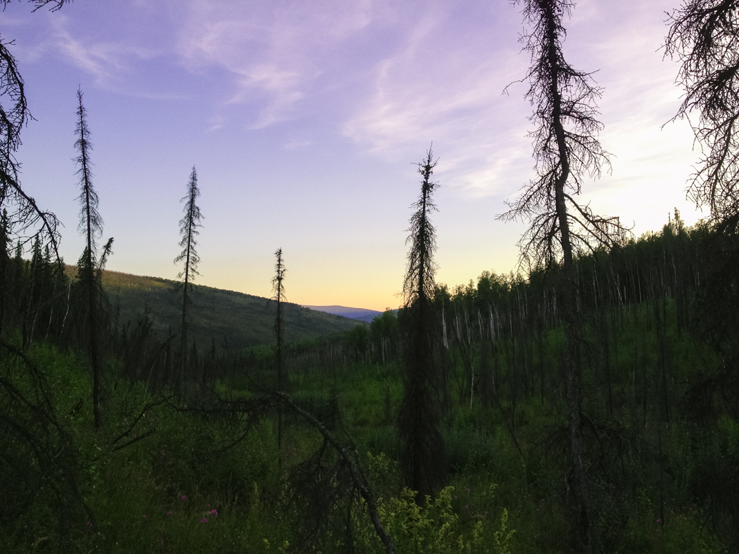
    W has been in the field too, countless times, many times alone. I think W has seen a bear from afar in the past while doing fieldwork, and I saw the back of a black bear once running away from me when I was on the ATV in the field once. Another time something was luring behind a tree as a friend and I came walking quietly after a long day in the field, we spooked it, it was huffing behind a large tree before it took a large leap to the side and ran up the hill. Still no clue if this was a bear or a moose. Lesson learned, be loud, and then be even louder. It's easy to forget about this after a long day working hard in the field, or when you are working with your head down in the stream it's easy to not make enough noise, plus you will most likely draw a curious bears attention to you, because many of them are just curious. With W's field season coming up and what had happened in Alaska I wanted him to buy a knife, a knife to have as a last resort, if for some reason there was no other way but to fight for your life. We talked about bear safety too, repeating what we already knew, again. I know W thought I was being ridiculous, but with what had just happened I felt first off very saddened for the two peoples families, but also very scared and wanted to be sure there was a way to fight for your life. I've had people laugh and make fun of me for my intense worry about bears in the field in the past too, but at least I want to be up to date with the bear safety for my own safety.

Jinxing it?

    W bought a knife, a large hunting knife, I mean not too large, but enough to be able to potentially make an impact. At least something to have in the tent if you would need to get out fast, or to have on your belt in the field. After a few hours of the first day in the field for W he texted me and said he had to pull his bear spray. Which is insane because that has never happened before, he has never had an encounter like that before. This time he wasn't even alone. But the bear was a curious black bear, those are the worst. A young curious black bear who would not move away even though they made sound and made themselves larger. Eventually he moved away enough for them to feel safe and retract too. Did I jinx his field season? A couple of days later they were going to cross a stream to another field site and W decided that they should walk downstream a bit, and then try to cross. Well luckily they did because they manage to spot two grizzlies across the stream about 50m away from them, something they would have popped up right in front of had they crossed earlier. Yeah I really jinxed it didn't I?

Last time I camped in Yellowstone National Park

    Fingers crossed that those were the only bears for this field season, as I am sitting on a plane on Friday to Jackson WY to spend 10 days in the field in Yellowstone, and some of those camping!