Posts tagged #Science

Things I have heard on the news Lately pt. 2

Cat.jpg

The one I never Published

News Hours and Science related Articles

After the first “Things I have hear on the news Lately” I was very excited to get another one out. I just needed to get more news. Well, and here we are more than a year later or so. I finally decided that I should publish this, even though it’s not something I have heard on the news lately, but rather a follow up from the previous one.

April 2019

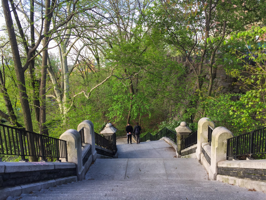
After several weeks, including landing a job in this big city, it’s time to do another round of what I have heard, read or seen these past months. If you want to read the previous post you can click here. Again, many of these news will probably either be about NYC or science, but of course something else might sneak into the mix as well. As a follow up from last time I did a “what I heard on the news lately” you can listen to this short segment, about how the measles outbreak started. We are getting extremely close to forcing people to get vaccinated, which also is probably not the best way to combat this, but the problem is how can we re-teach people about vaccination? This all ties back to what I wrote about earlier too, that the human psychology is extremely cool and fascinating but also very narrow minded (“Illusion of explanatory depth” - Why Facts Don’t Change our Minds). Once you started to believe in one thing, it is extremely difficult to switch those beliefs to something else. Another article that talks about somewhat the same idea is the recent one from New York Times “Why fiction trumps truth”.

  1. NYCHA and other landlords. New York housing authority seem to be under fire most of the time. Since we moved here to NYC and Manhattan I don’t think I have heard anything positive about NYCHA. It is unclear who to blame for the situation they are in now, but they are backlogged financially, about 32 billion dollars. Some NYCHA residents in Manhattan recently got their playground upgraded, an upgrade that cost about 770,000$. This is great you might say, and yes it is, the playground is scheduled to reopen this summer. However the problem is that NYCHA wants to replace it with a new residential tower. I understand that we are also in need of more housing, especially for low income people, but what is the point to spend so much money on a playground if it’s going to be taken away anyway? You can also hear or read horror stories about tenants living in awful conditions; mold, leaks and broken locks. This is not exclusive to NYCHA of course, other landlords are equally bad, for instance residents bathroom ceilings falling in, pet parrots eaten by rats and the list goes on. One hot topic is lead paint, like the story I heard on the radio the other week about a mother with her four kids who now is suffering from lead poisoning. The mother found out that the her kids had started to eat lead paint from the walls and window sills, after they discovered that the paint taste very sweet. After a routine control at the doctors, they found out that the kids led level was dangerously high, and so they found out that they did indeed have led painted walls. Just like so many other current residents in NYC. This mom and her four kids are of course not the only people affected by lead, and lead poisoning, and there are probably other landlords who also couldn’t care less about that, just like I sometimes feel as if NYCHA doesn’t either. This is not any recent news, this has been going on for decades, but the question is whose fault is it. It’s a messed up system that completely uses low income people, people who have no other choice than to stay in awful conditions. And while some property managers and landlords get sued for not improving the living standards for the tenants, they most often are only fined a tiny little sum, making it easy for them to continue to break the law over and over again.

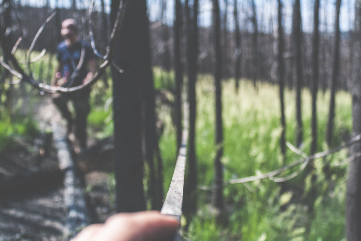
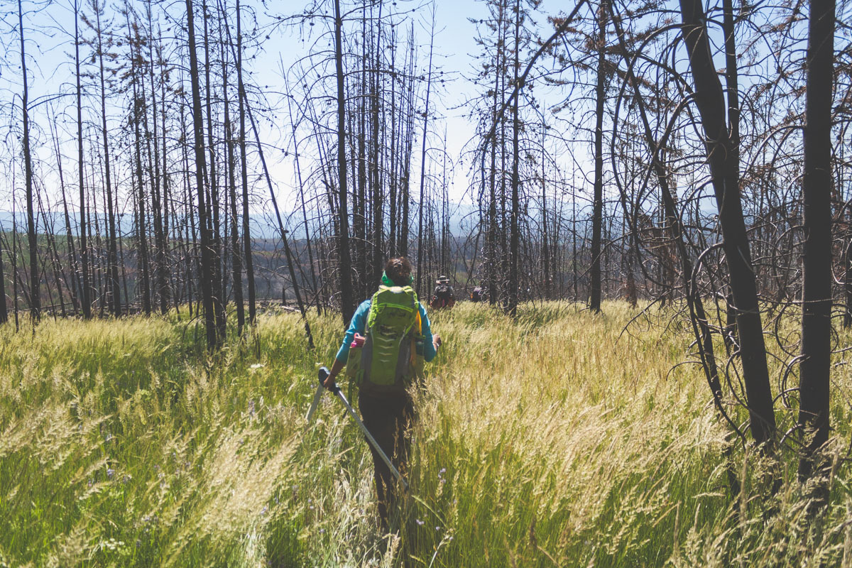
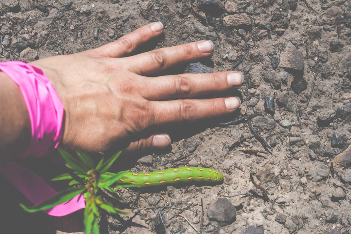
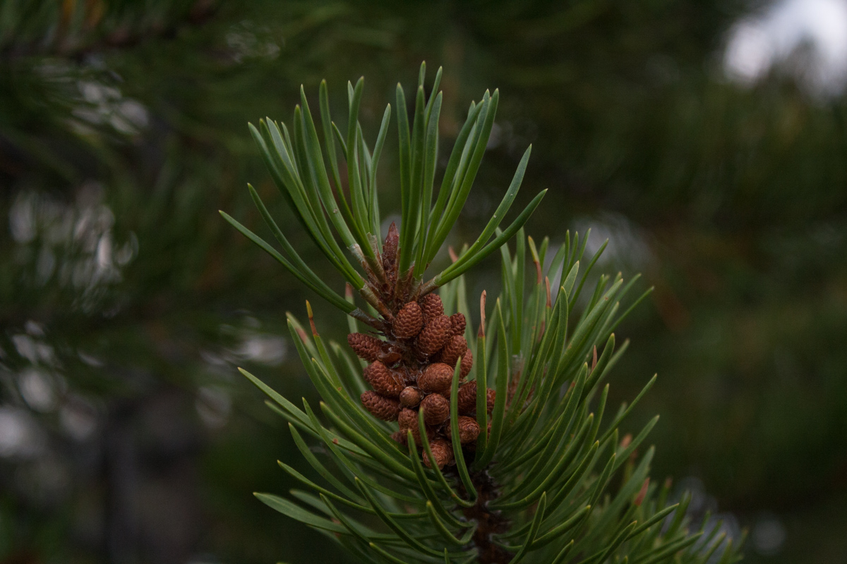
  2. Ticks and allergy to red meat, aka “alpha gal syndrome”. Did you know that there is a new disease spreading extremely fast that is spreading via ticks. It was believed that this new disease came exclusively from the lone star tick, a tiny little creature that you can find here in the US. However, this tick does not exist in Europe, which has also seen the exact same diseases, and the diseases can also be found in Australia. Ticks do not only carry this pathogen for red meat allergy, but of course, also Lyme disease, carried by the black legged tick. These are two very good reasons to always check your body for ticks, to make sure you do not get any of these diseases. The problem is though, that some ticks, like the black legged one are so tiny it’s almost impossible to spot it. I remember when we went camping in Chequamagon National Forest for memorial day weekend a couple of years ago and we picked ticks of our body and car for days during that trip. If you are interested in knowing what pathogens ticks are currently carrying in your area, or where the hot spots of ticks are, you should download this app called The Tick App. It’s a type of citizen science app and is incorporated in a larger study by researchers from Columbia University, and University of Wisconsin-Madison. The app gives you updates about current hot spots of ticks and their pathogens, and you can also report your own.

NYC Parks and Planning

Walking through all these Parks

Ever since we moved here we have been frequent visitor to Morningside Park. We never actually spend time in the park though, it’s just a place we pass through while walking from the east side to the west side of Manhattan. It takes 30 minutes on a good day to do the trek from our apartment to Columbia University. And we get to pass through Marcus Garvey Park and the Mount Morris Park Historic District on the way too. There are no tall buildings like the ones you see downtown here. Well, there are a couple of tall houses but no real abundance of them. I usually go through the northern part of Morningside Park, but in the southern end there is even a beautiful waterfall! Maybe I’ll try to go by there this week.

Morningside Park Late April:

As I have mentioned earlier, I love stats, charts, documentation etc, and NYC has created this awesome 3D map of all the buildings in Manhattan, and you can color them by height. If you take a look at East Harlem you can see that the majority of buildings are 10-25 m and in central Harlem they get a bit taller but still below 50m (depending on the speed of your internet and power of your computer the 3D map might take a while to load). Of course there are a few taller ones, but its pretty eyeopening to see on a map like this.

Marcus Garvey Park mid to late April:

If you are interested in the demographics of the greater NYC area you can take a look at this map pdf from NYC department of city planning, which also has all the different neighborhoods listed. What you might notice too, is how the topography changes as you move throughout the city. Walking from the east side to the westside through Morningside park you will walk up three sets of long stairs. If you look at the pdf map I just mentioned, you can clearly see that the west side lays at a higher elevation compared to the east side. You can also se the specific demographics for all the different larger neighborhoods by going to NYC planning. NYC planning also have some more detailed demographic facts about all the different neighborhoods if you are into that. In some way NYC is a large model city, there are ton of studies about anything in the city and Manhattan. Air pollution, water quality, green roofs, sustainability and the list goes on.

Mount Morris Park Historic District:

A couple of weeks ago I wrote about all the great maps and info you can get from NYC Parks and Central Park Conservancy. If you are interested in seeing what tree species you pass during your walk you can take a look at NYC Parks list of all trees in NYC, its quite incredible if you think about it. They have mapped every single tree in the city, of course there might be some lag if a tree dies or so. There you can also report if a tree needs attention by NYC Parks. You will be able to also click on a tree and see what species it is. It has a count for all the trees in the different neighborhoods and also how much CO2 the city is offsetting by having all of those trees! The map is also color coded if you zoom out, based on the number of trees, where darker green corresponds to a high number of trees, and lighter green to low. Does anyone know of similar maps in other cities?

Morningside Park Late April:

A Tale of Fires and Ghost Logs - Fieldwork in Yellowstone Pt. 3

Of all the paths you take in life, make sure a few of them are dirt
— John Muir

Adventure Tuesday

That summer of Dreams

A lot of different things happened during the summer of 2017. I went to Montana and Yellowstone not only once, but twice. I got to go to Puerto Rico for fieldwork and spent almost two weeks in the rain forest. I went on a roadtrip with dad through Badlands National Park, Beartooth Highway and then eventually through Yellowstone. We got married, well technically we were already, outside Butte on a fiery afternoon. After that we went camping with friends before we headed back towards Wisconsin. Once there we packed for yet another wedding and headed out to a summer camp. But what do we really do when I say fieldwork? If you have been reading my blog since it started way back when, you know I used to roam around in the interior of Alaska, studying fires, stream water chemistry, climate change and the list goes on. W also studies fires and we have helped each other doing field work through the years. So 2017 I spent part of my vacation by flying to Jackson, Wyoming to spend a couple of weeks with W and his advisors field crew.

The Start of the Large Fire Era

1988 one of the largest forest fires raged through Yellowstone National Park, and many people probably wondered if anything would be left after that large fire. 35% of Yellowstone National Park burned that summer, and that fire marked the beginning of a new era, the large fire era in the west. One of the many questions that fire overall poses in the north west, not only in the Rocky Mountains and Yellowstone, but also in Alaska is: What will happen if and when fires become so frequent that there is not enough time for trees to regenerate. The normal fire return interval is every 100-300 years, and the area we worked at in 2017 was burned in the 1988 fire and then again in 2016.

IMG_9810-May 30, 2016.jpg

I have seen burned areas in Alaska before, but nothing quite like the the area I saw that summer. Everything was basically gone. Everything was black. Even though we still could see vegetation already growing in the black soil. We counted tree seedlings (Douglas fir and Lodge pole pine) , downed wood, logs and ghost logs. Ghost logs are basically a line in the ground that indicates that a log once laid there, but has completely been burned up. Those logs were most likely leftover from the 1988 fires.

The ghost logs can be seen as the light lines in the black soil above

The ghost logs can be seen as the light lines in the black soil above

Fires in the Rocky Mountains and Alaska are very different. The fires we see in Yellowstone are mostly crown fires, while the fires in Alaska are mostly surface fires. In Alaska the thick organic layer, which also serves as an insulator to permafrost, is a good indicator for how intense the fire has been. Often there is still a large portion of the organic layer left after a fire has gone through, and you will also see this patchiness of the thick moss on the ground. One thing the fires in Alaska and the Rockies have in common though is that when it burns it burns, and it can spread extremely fast if the conditions are perfect.

Smoke in the field and the after math of fires in Alaska:

The ground was completely bare when we arrived at the Maple Fire in Yellowstone National Park. The temperature was in the 90’s and the black soil didn’t make it cooler. We used measuring tape and compass directions to set up sampling plots. Large portions of this fieldwork was to count how many tree seedling we could see growing in the bare soil, and we did see quite a few. We also recorded signs of ghost logs, tree stumps and dead standing trees within all the plots. This work is sometimes hard on you, it’s hot, you’re on your knees and you are also high up in elevation. On top of that you have to hike, sometimes also carrying heavy equipment. You’ll get sunburned real easy and have to make sure you carry and drink enough water.

The Maple Fire in the Cougar Meadow:

Many tree species are evolutionary adapted to regenerate after fire, they produce cones that are serotinous, because the cones need heat to open up and release its seeds. But to regenerate the tree needs energy, and time to develop enough seeds, and on top of that they need to be lucky. Anyone who has planted a seed probably know that sometimes the seed germinate, and sometimes it doesn’t. This is the reason why this questions is so relevant, how successful are coniferous trees to regenerate throughout the Rockies and Alaska if the fire return interval gets shorter? The other problem is the local climate. Will it become drier or wetter, how warm will it get? These are factors that also play a role in the tree regeneration.