Posts tagged #Adventure

The Ultimate Roadtrip pt.5

IMG_8661-May 25, 2016.jpg

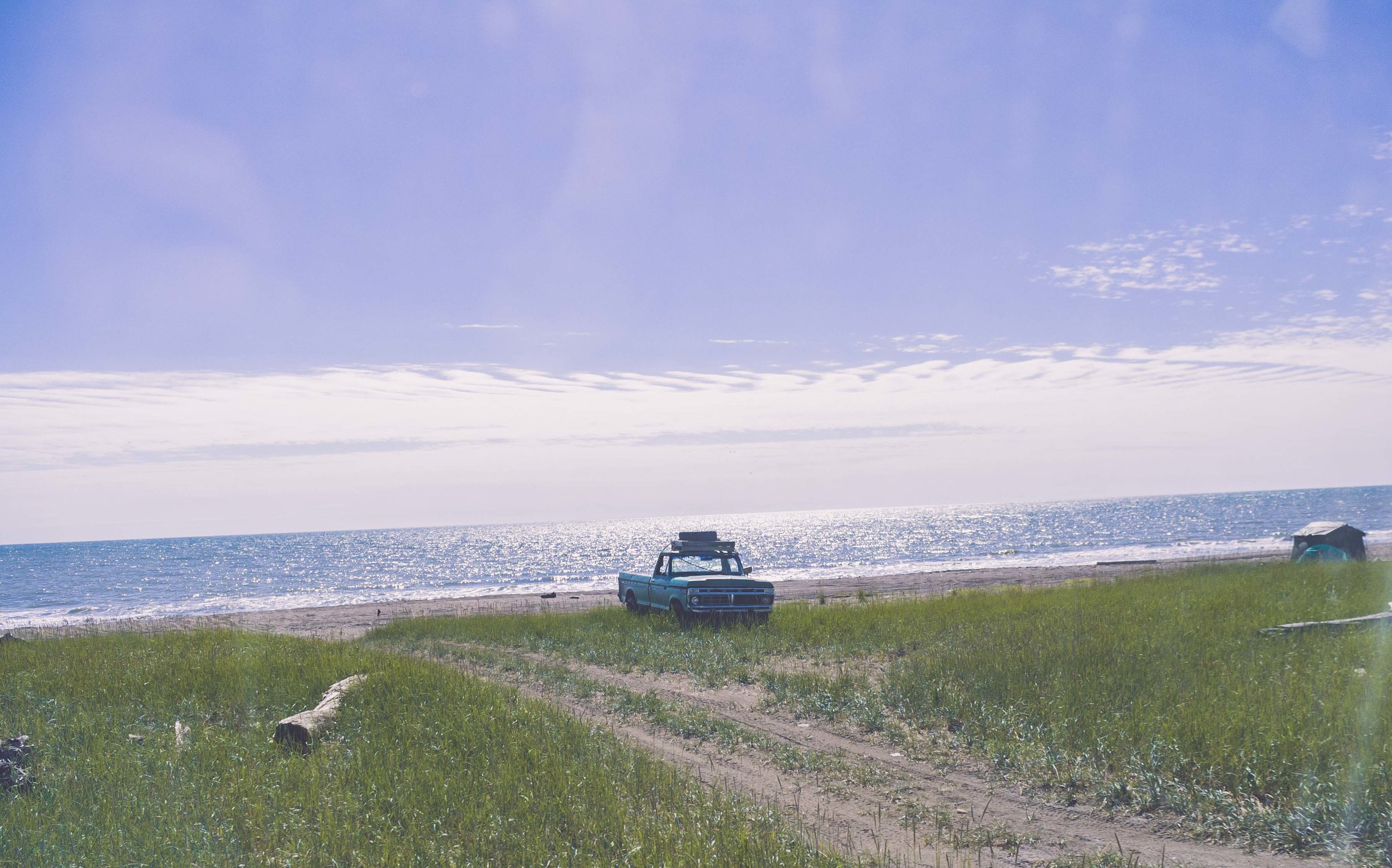
It’s like Alaska on Steroids

DAY 5, 05/25/16: Saskatoon Island Provincial Park to Pocahontas Campground

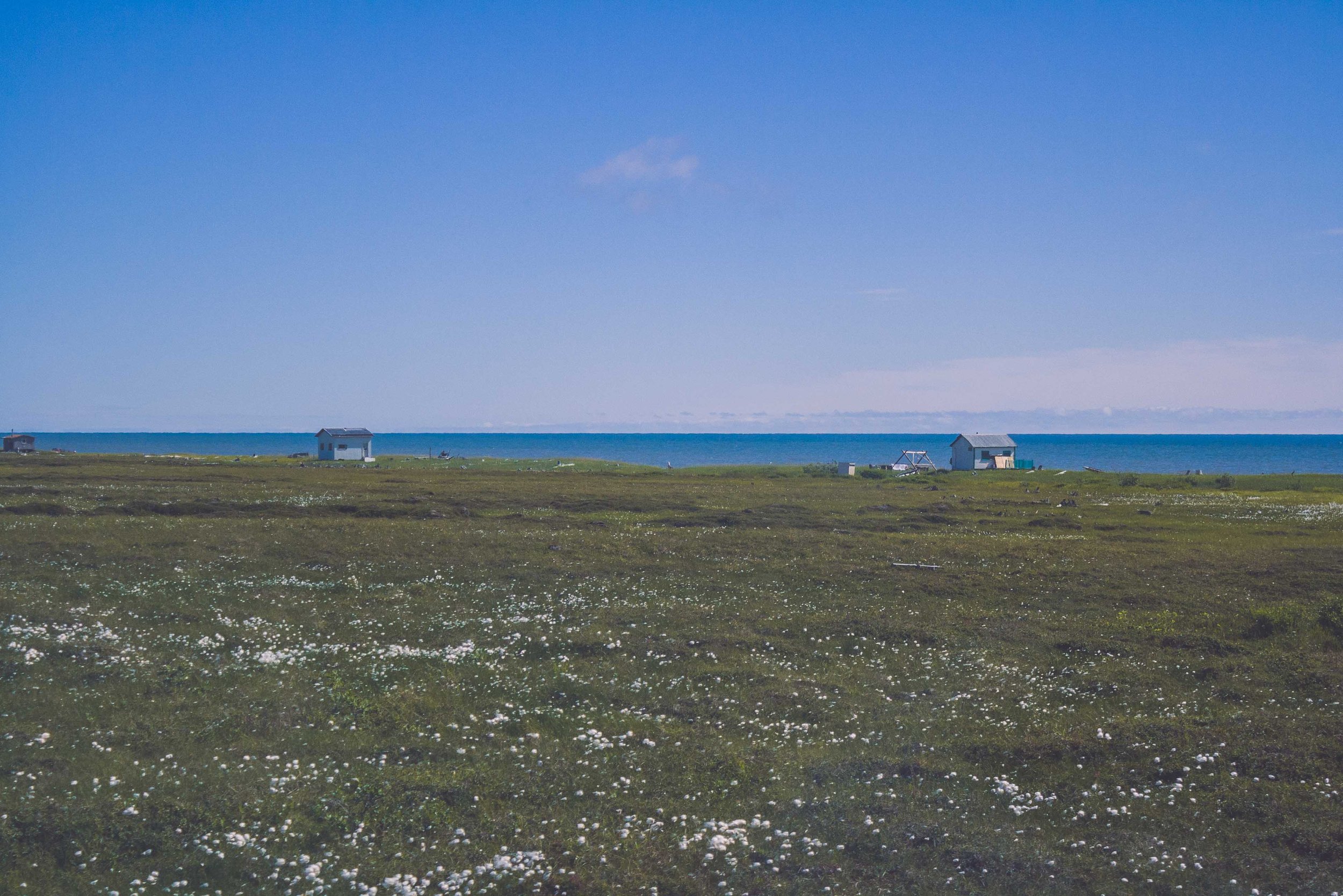
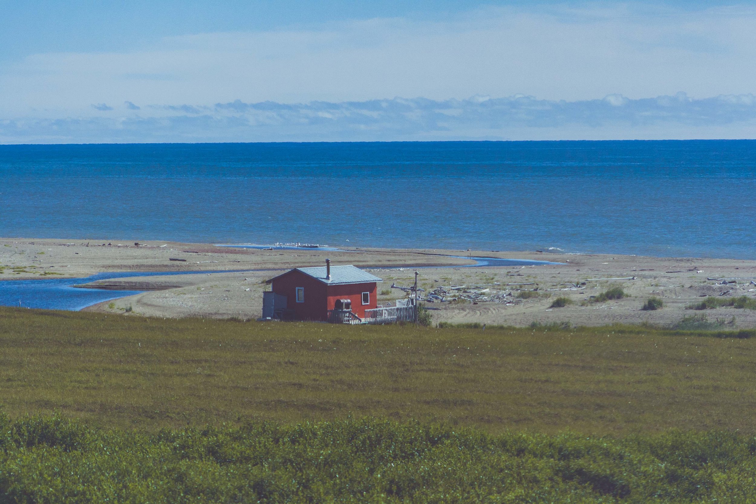
Before I moved to Alaska a Swedish friend who lives there told me that Alaska is like Northern Sweden on Steroids. Well here we were, our fifth day of driving, and I could never have imagined that the views would get even better than what they had been. At one point I looked out the window and told W, I am saturated, saturated of mountains. I said, I can’t take it any longer as I put down the camera on my lap and just stared at all these magnificent views. If Alaska is like northern Sweden on steroids, Western Canada is like Alaska on Steroids. These two coming days we were going to drive fairly long stretches, but we also wanted to explore the national parks a little bit.

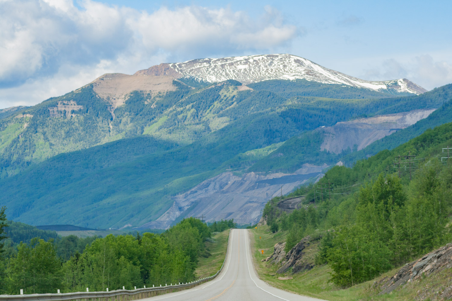
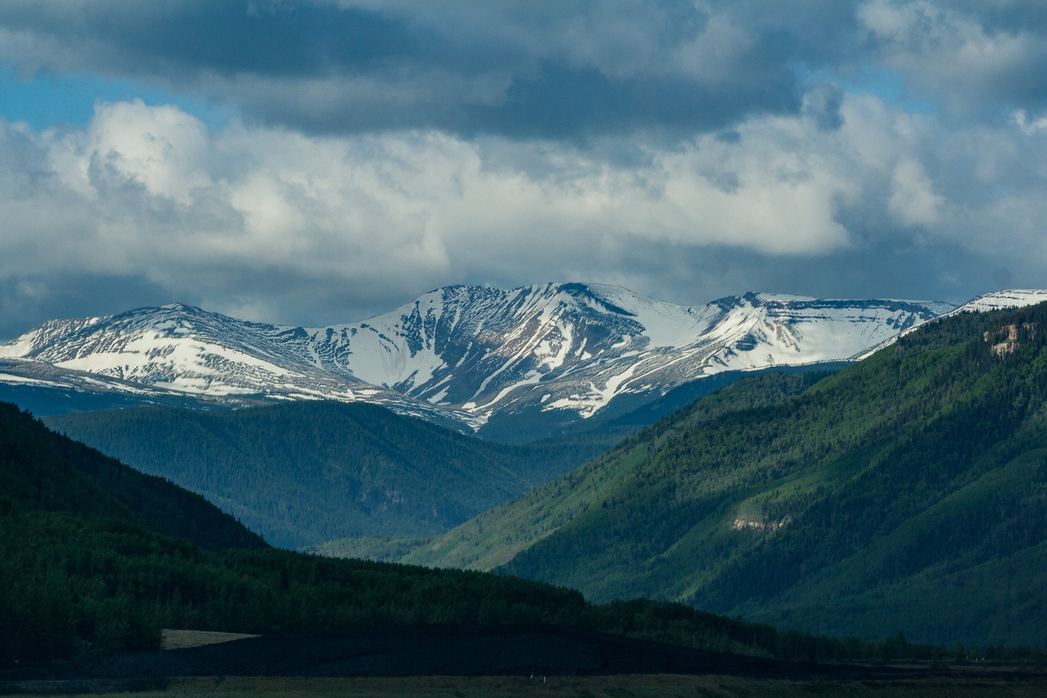
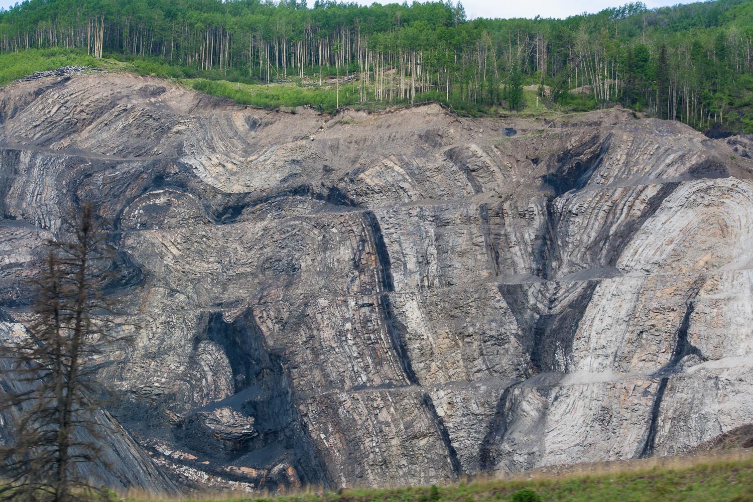
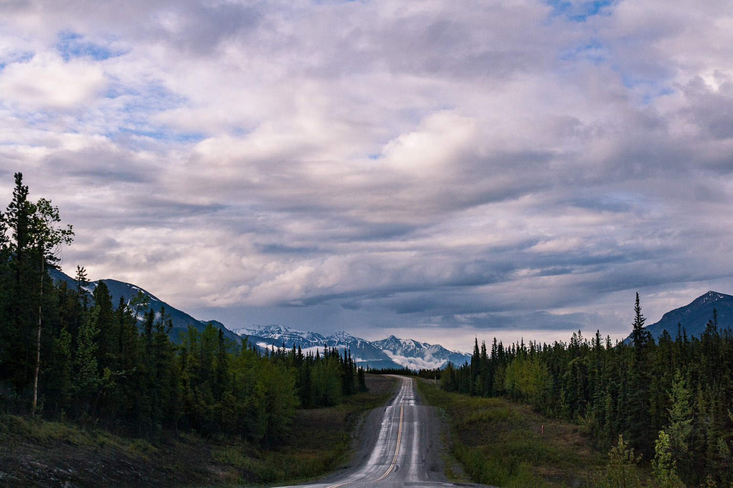
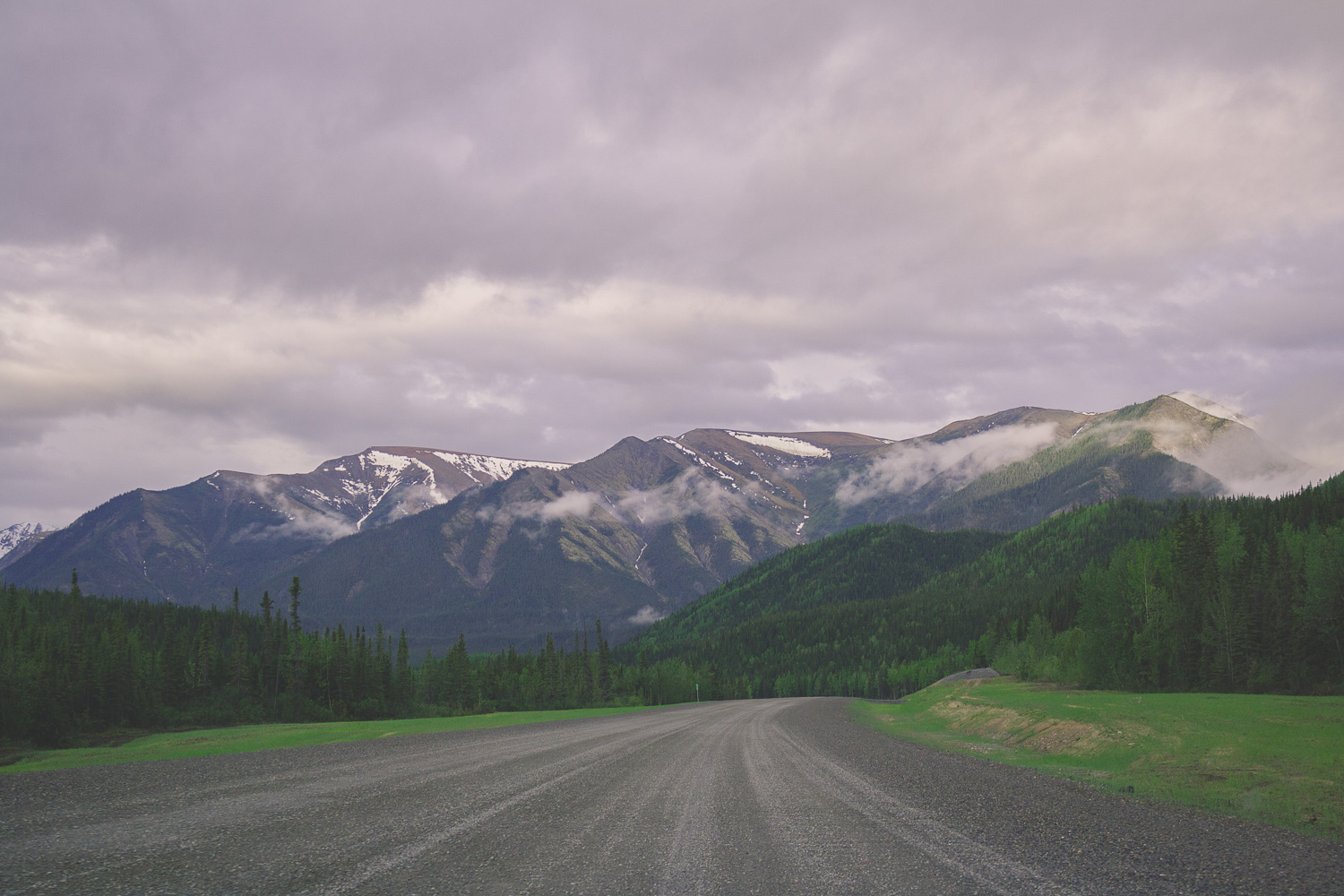
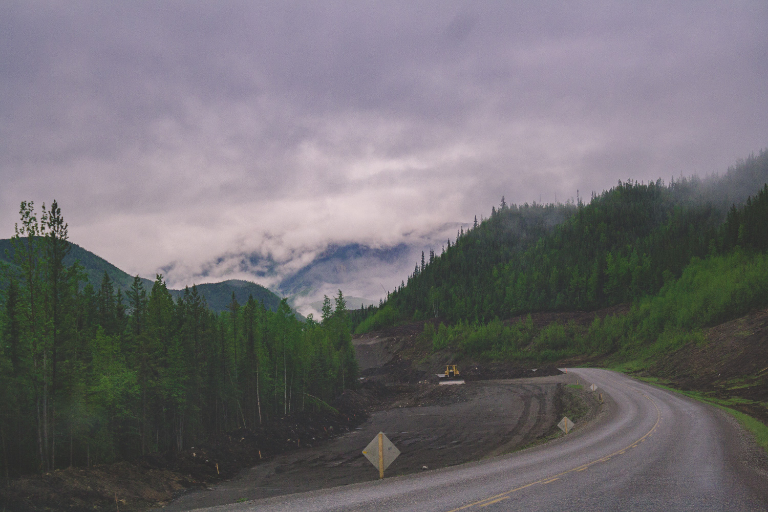
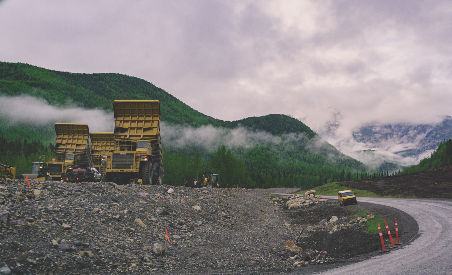
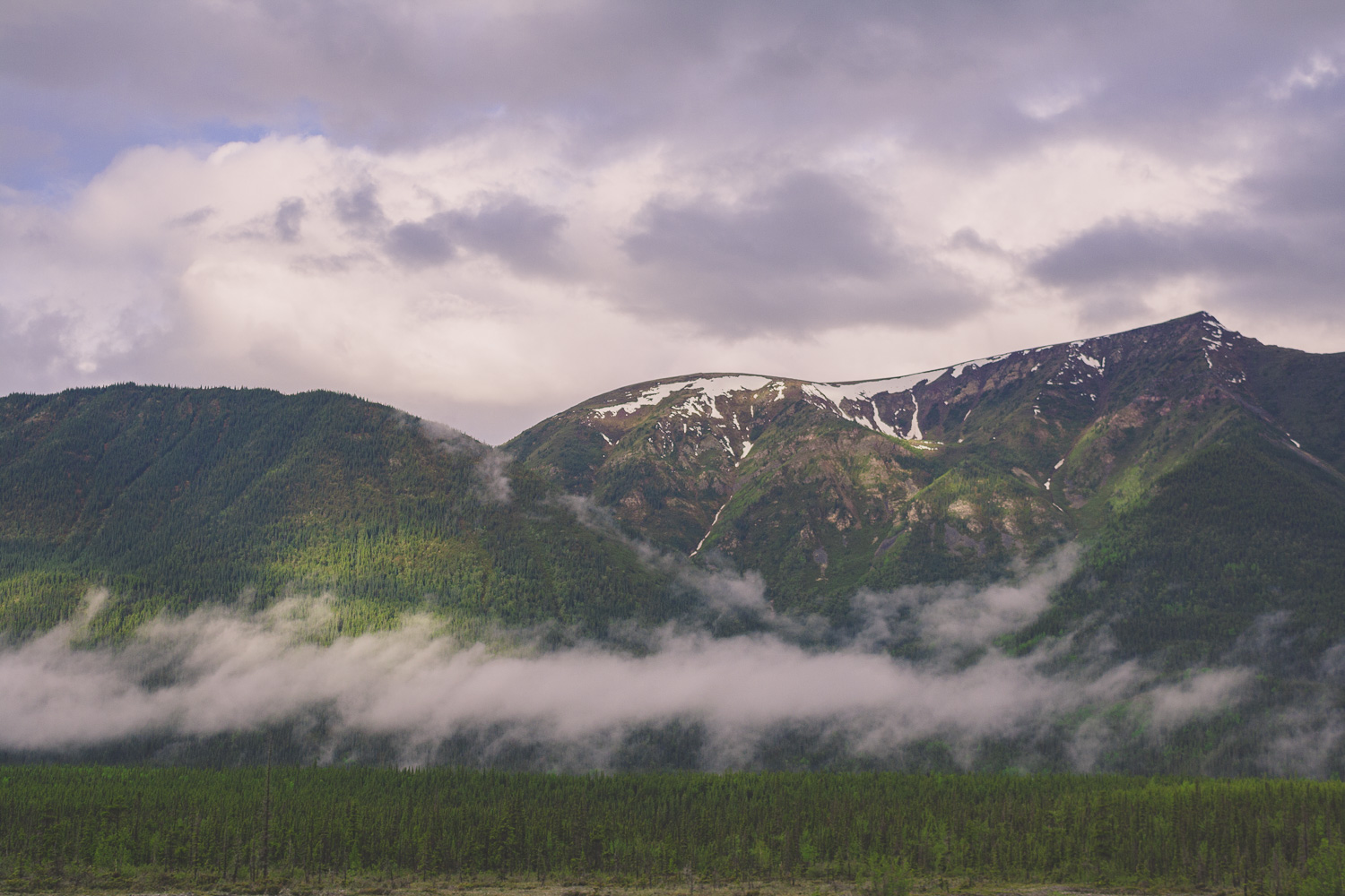
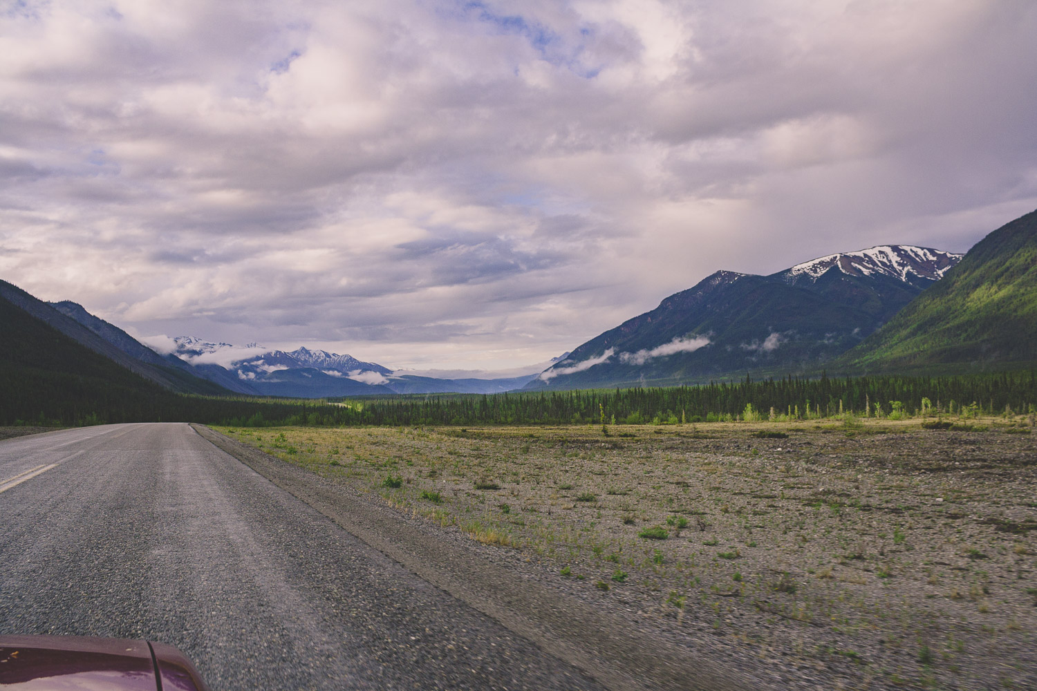
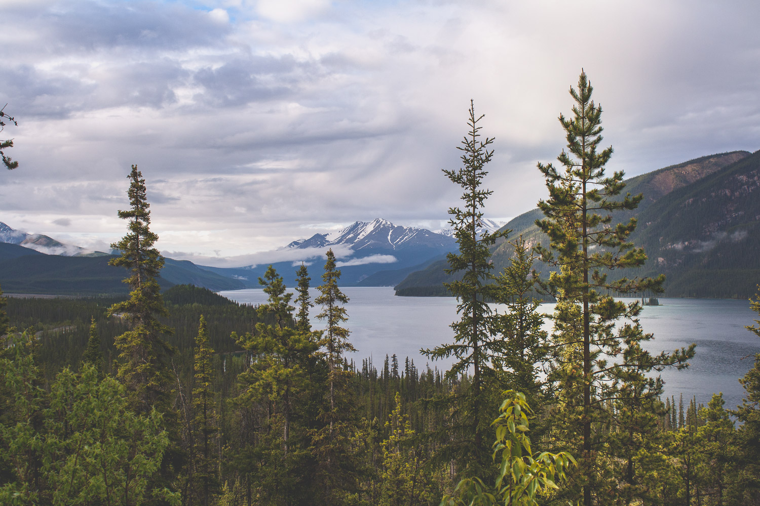
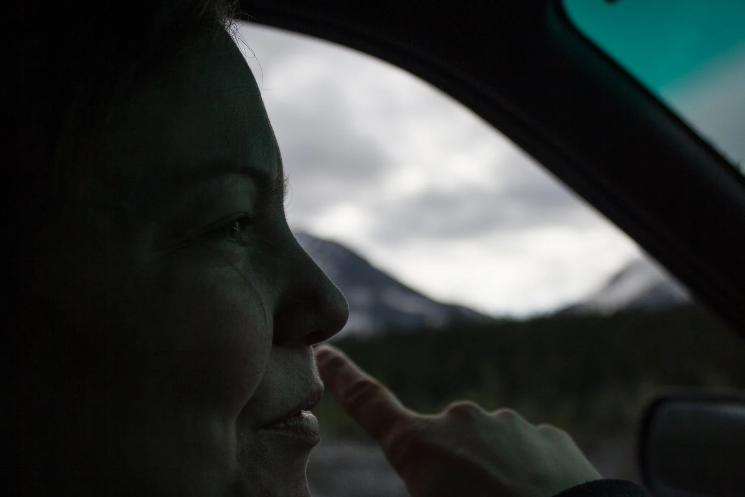
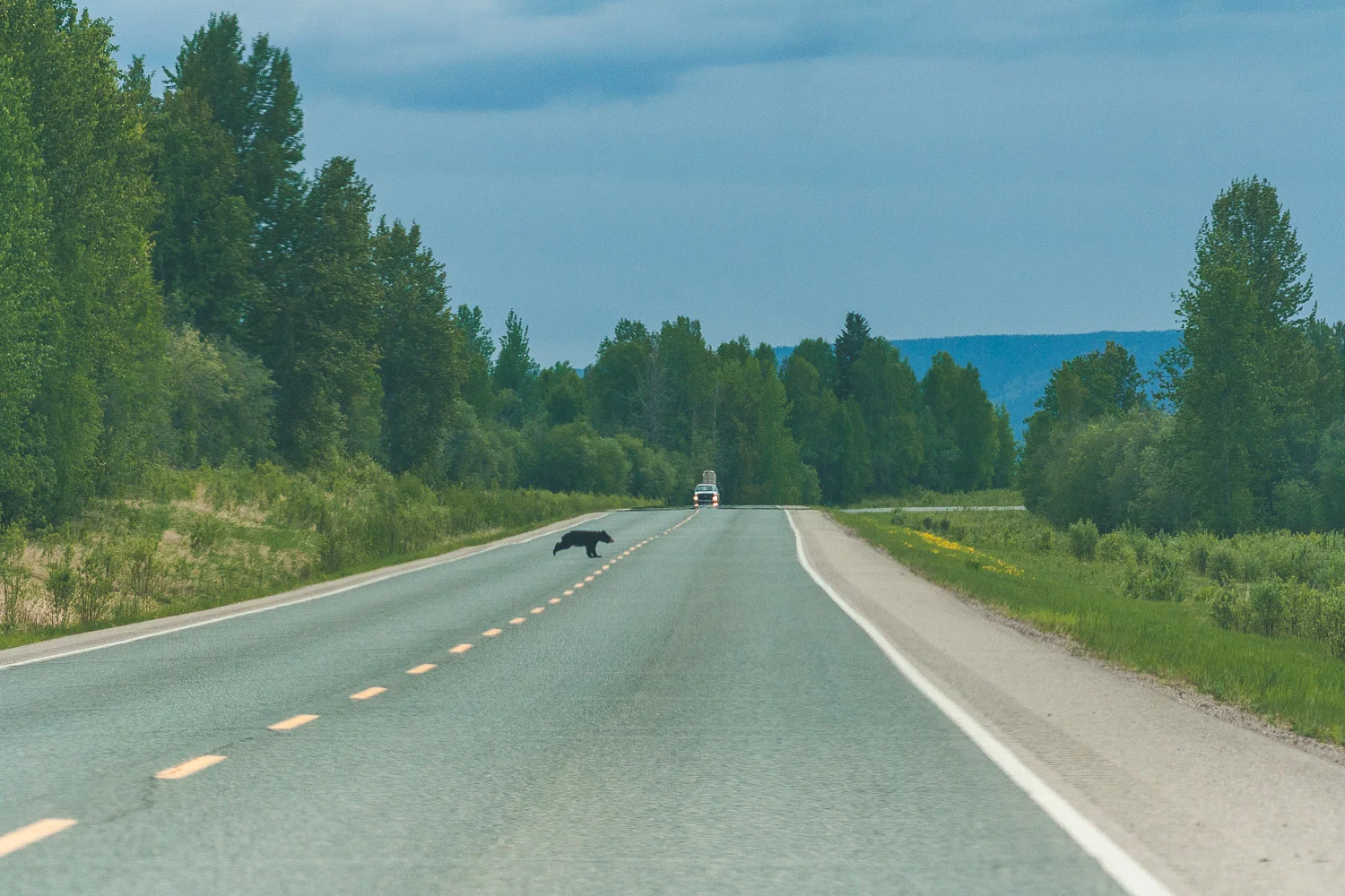
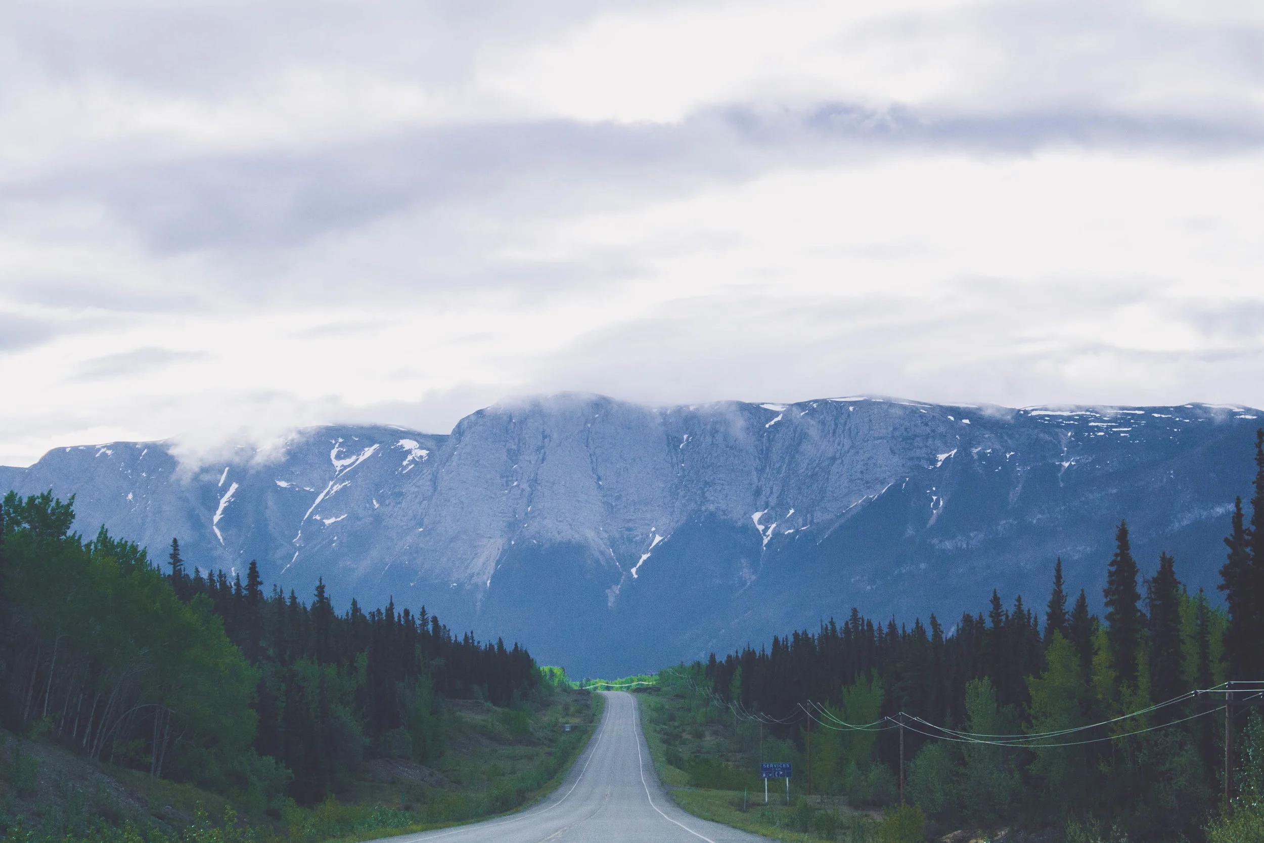
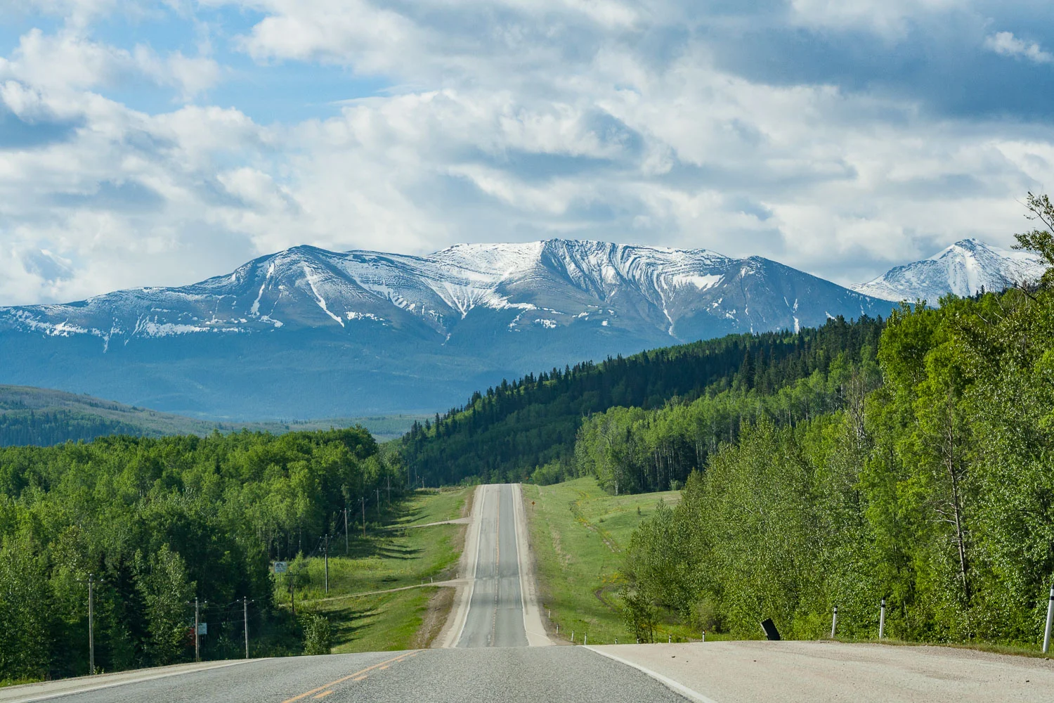
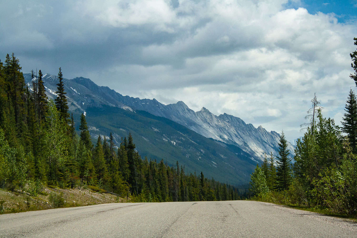
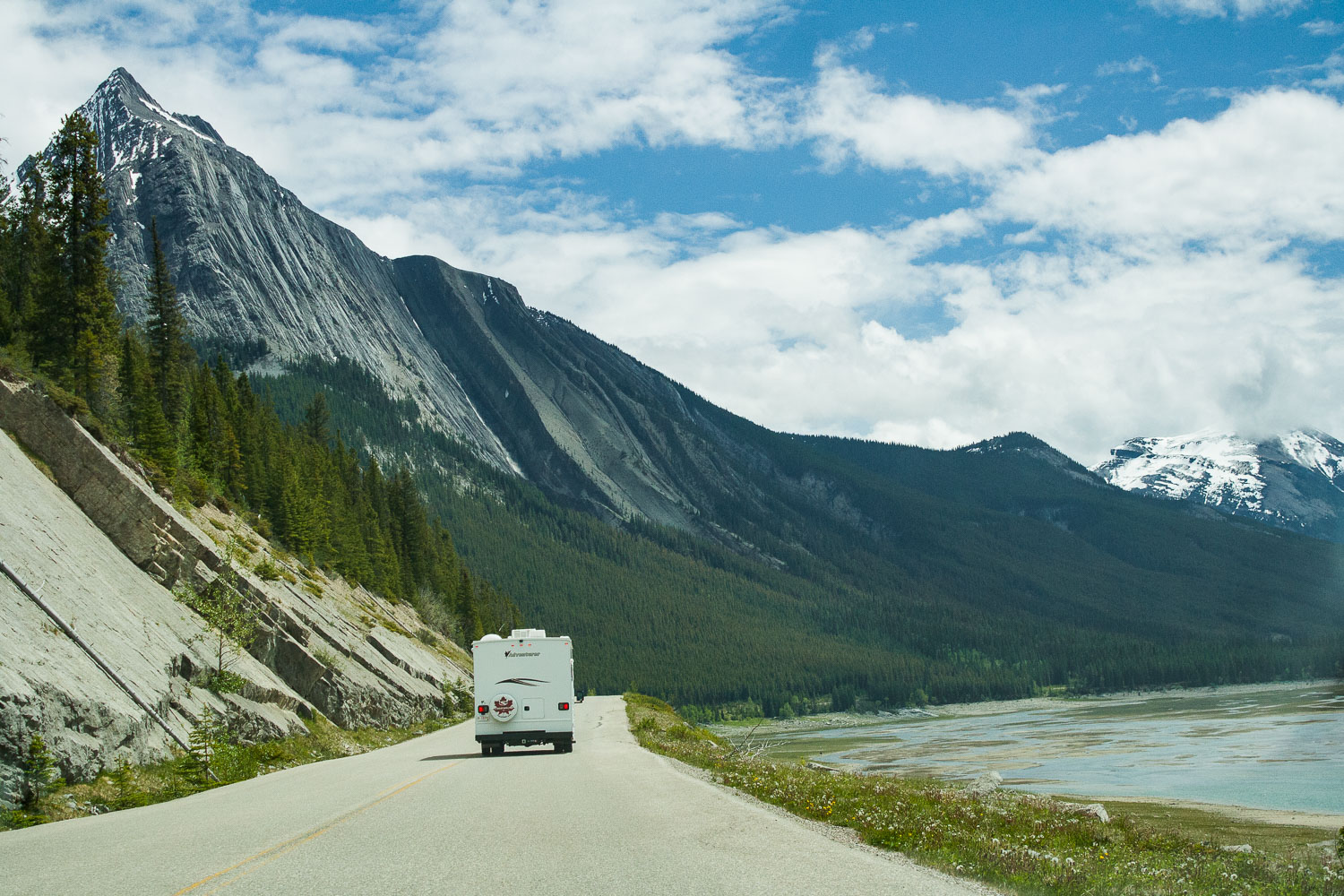
We were on the road before 8 am and I think we started to get tired by now. Day five, on our roadtrip. Last time we showered was at Liard Hotsprings, but that didn’t bother us as much as sitting still in a car. Luckily we were on our way to two incredible national parks in Canada, Jasper and Banff. Our drive was going to be short today (well, everything is relative right?), because we were finally gonna stretch our legs and conquer a mountain! After about 4 hrs of driving through a wide open landscape that slowly took us closer and closer to the mountains we were now entering Jasper National Park. As you enter Jasper the road immediately takes you into the mountains, and the views are just out of this world. I don’t know of any other place like Jasper and Banff. When you cross the Athabascan river, driving south on the Yellowhead Highway the views are just out of this world. I know I keep using the same adjectives, spectacular, incredible, out of this world, but if you have ever been here I am sure you would have a hard time not to overuse all of these describing words too.

Driving through Maligne Canyon

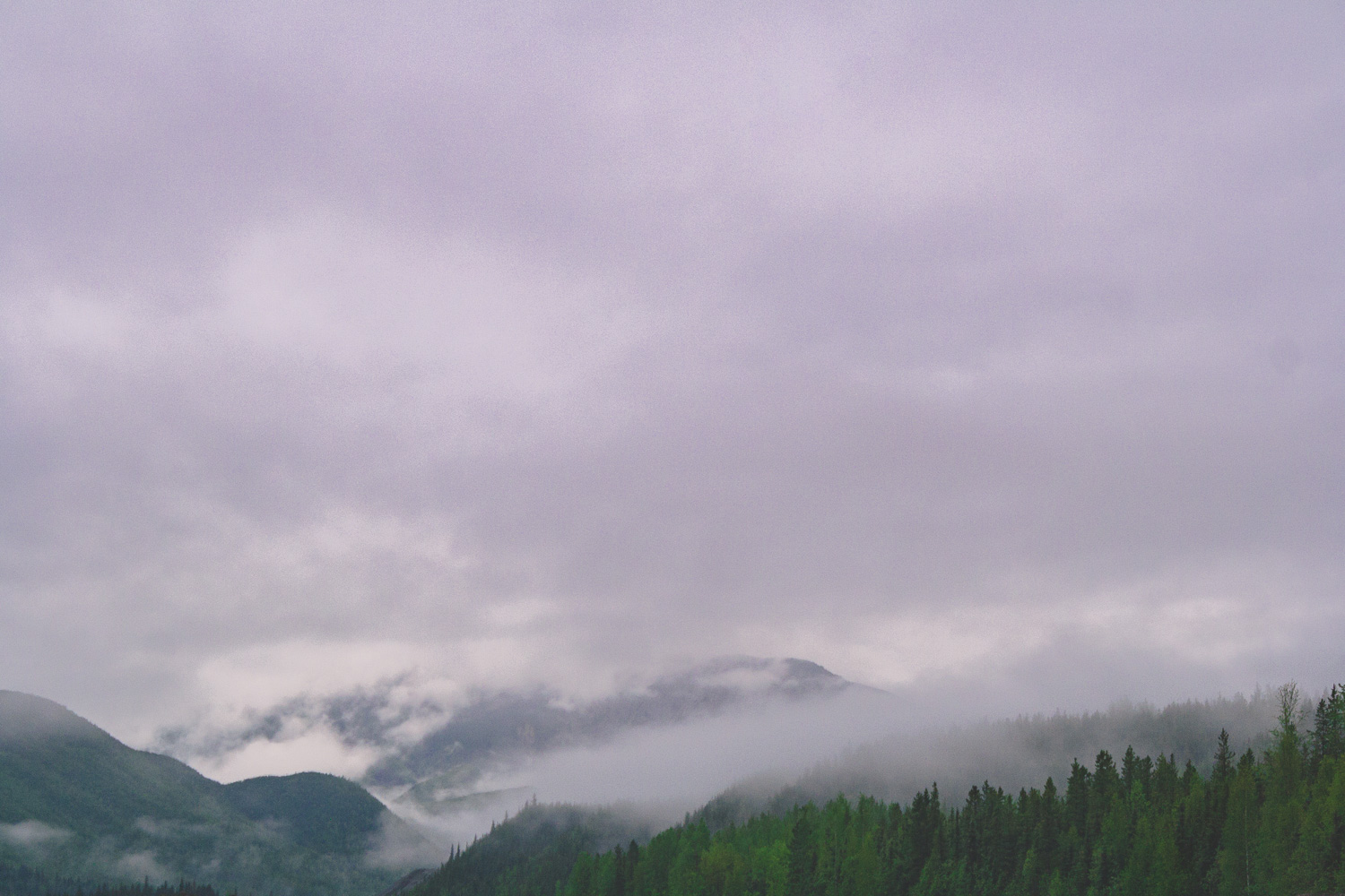
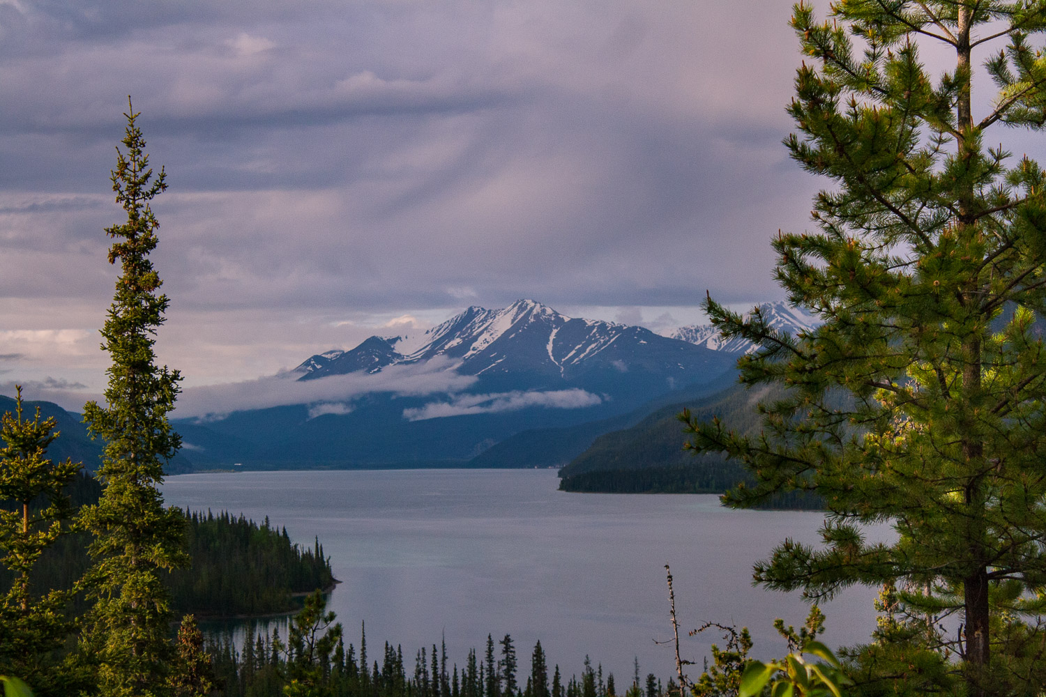
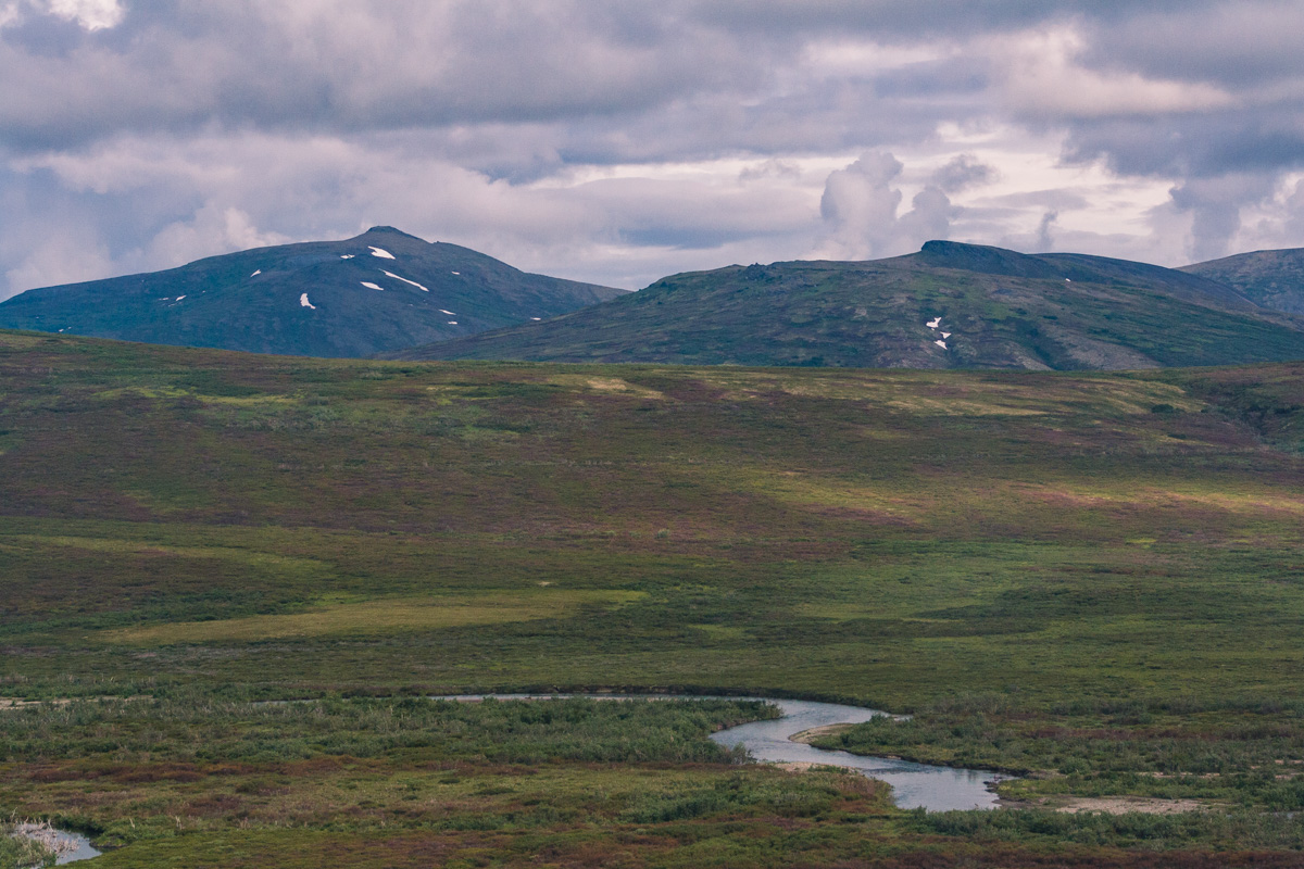
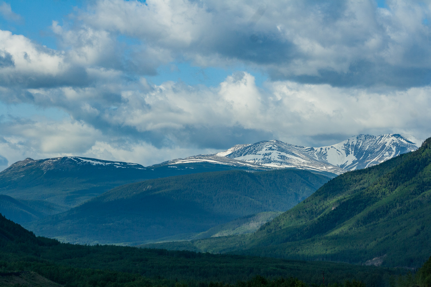
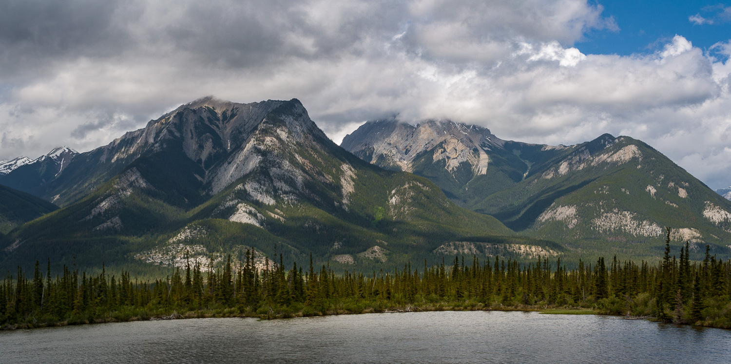
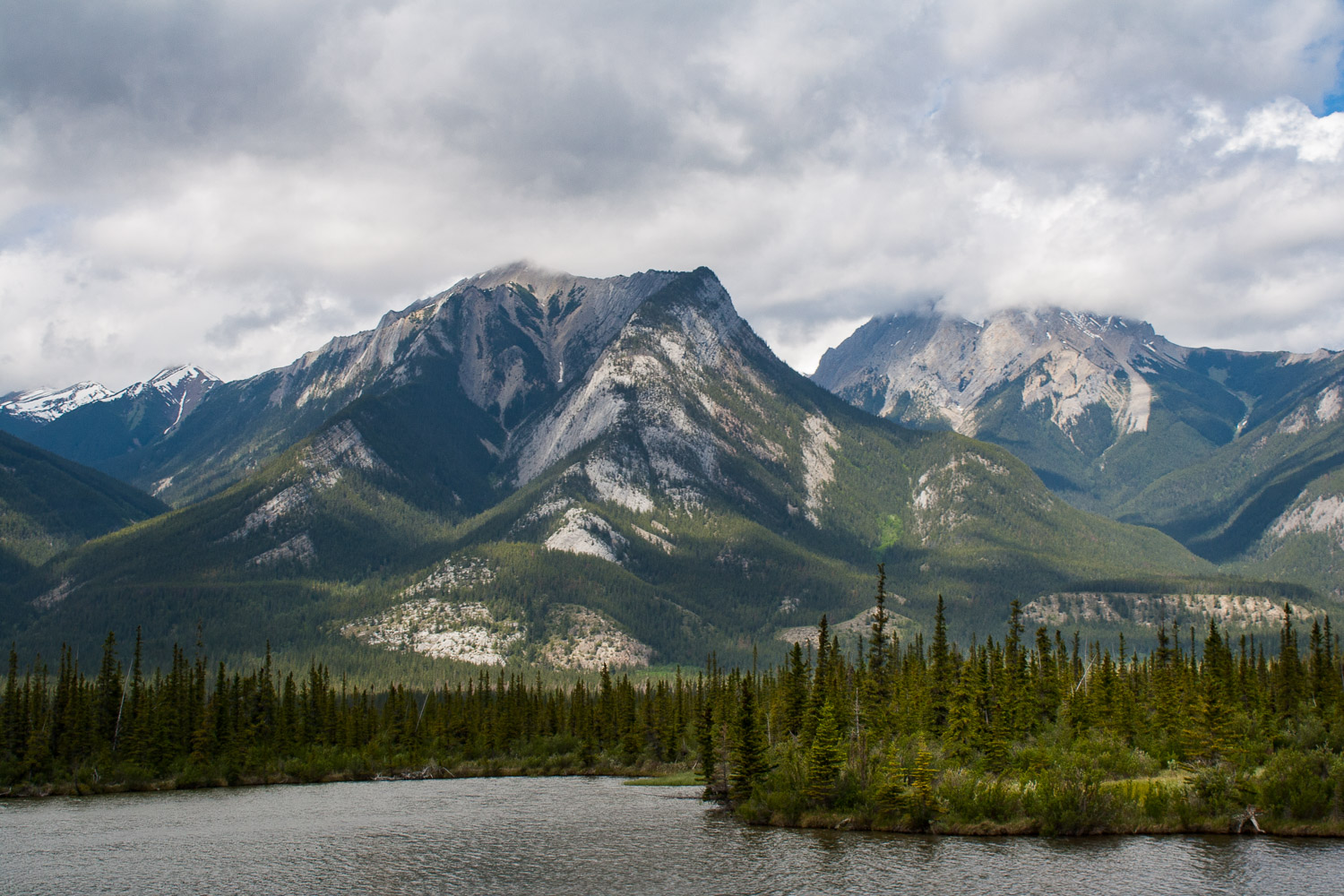
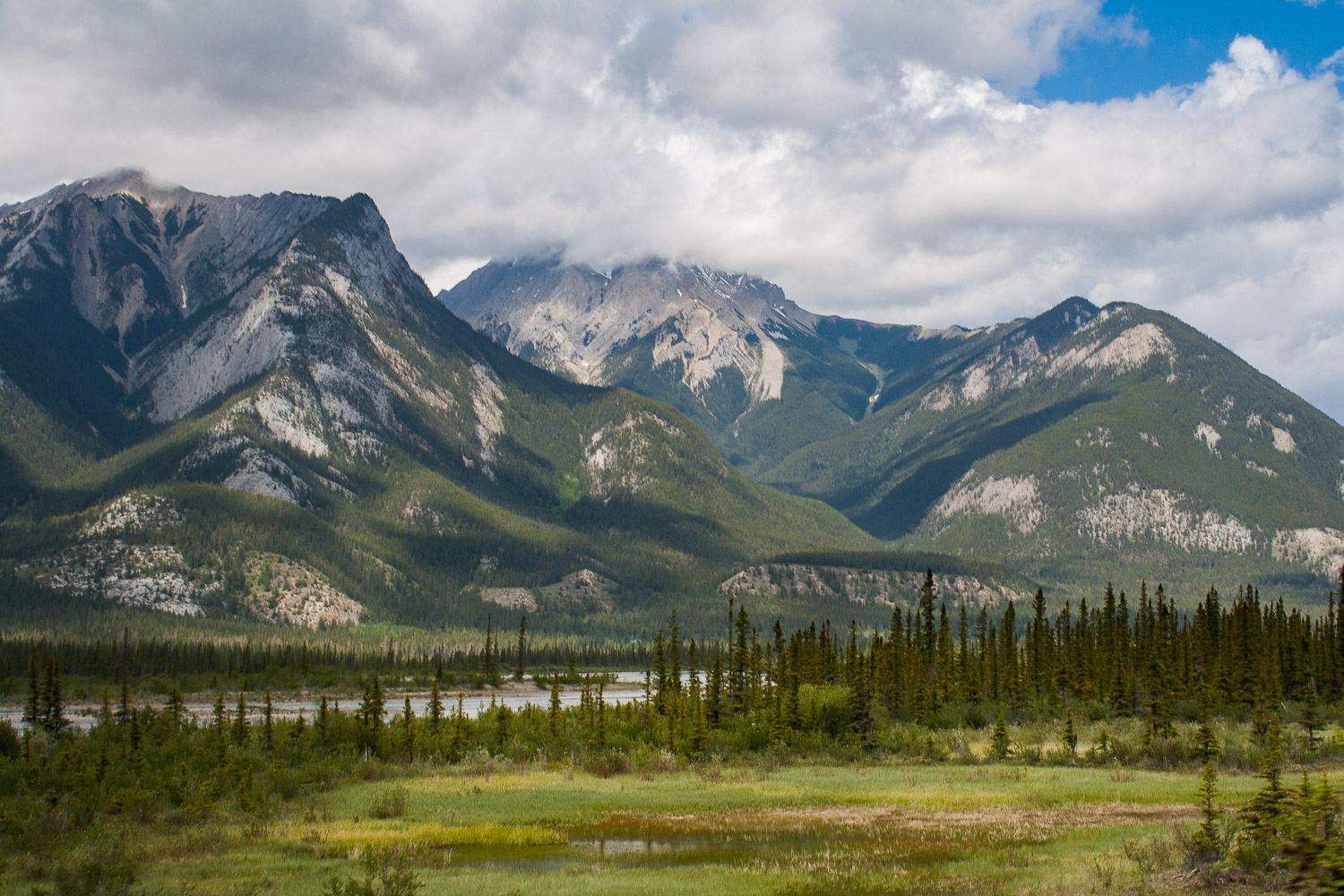
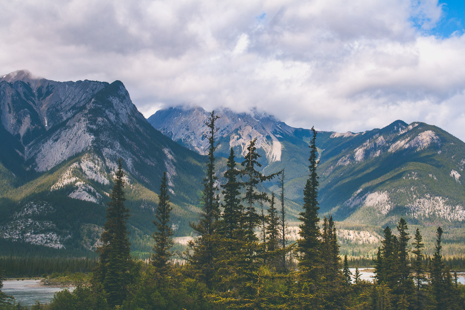
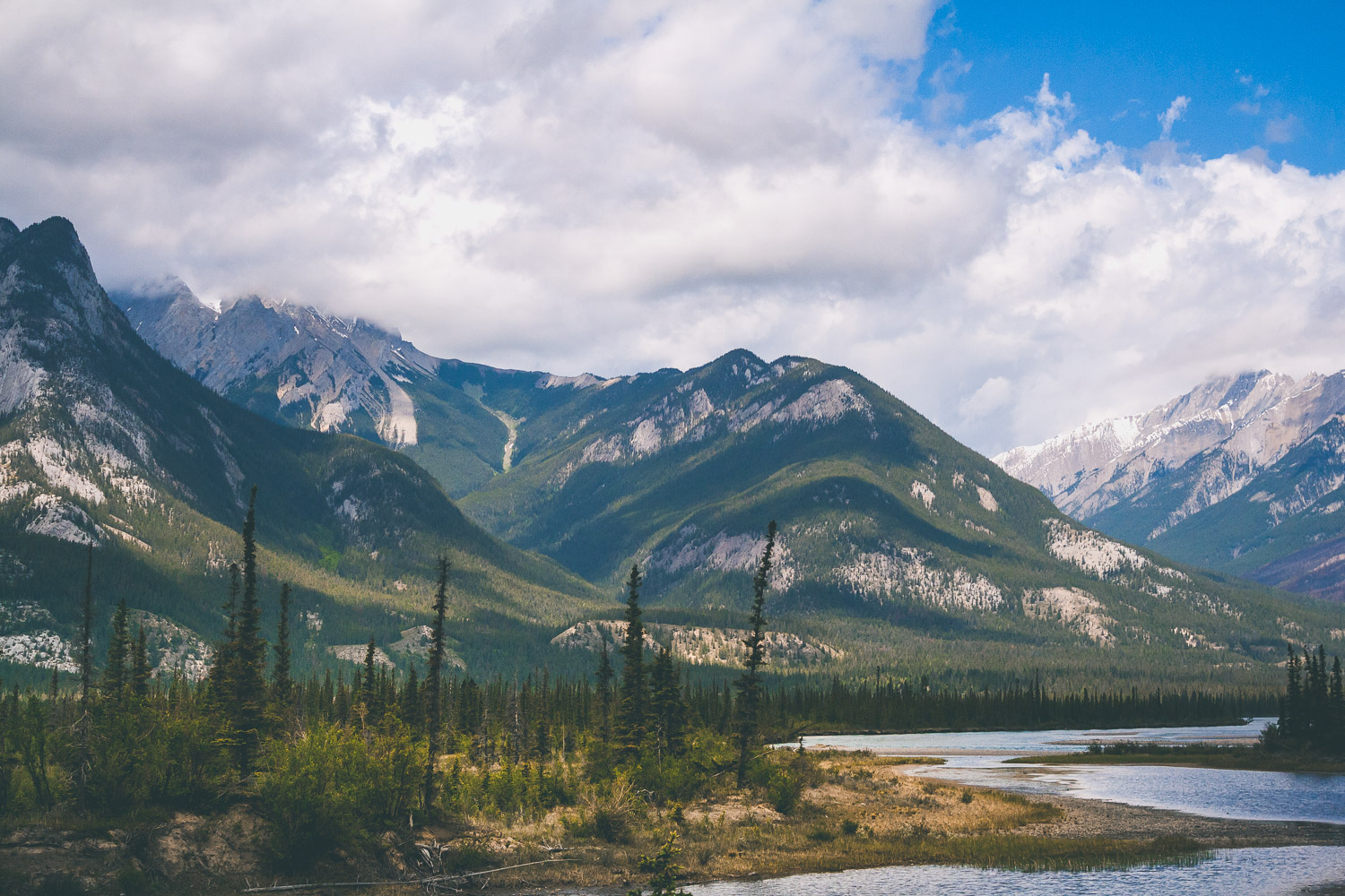
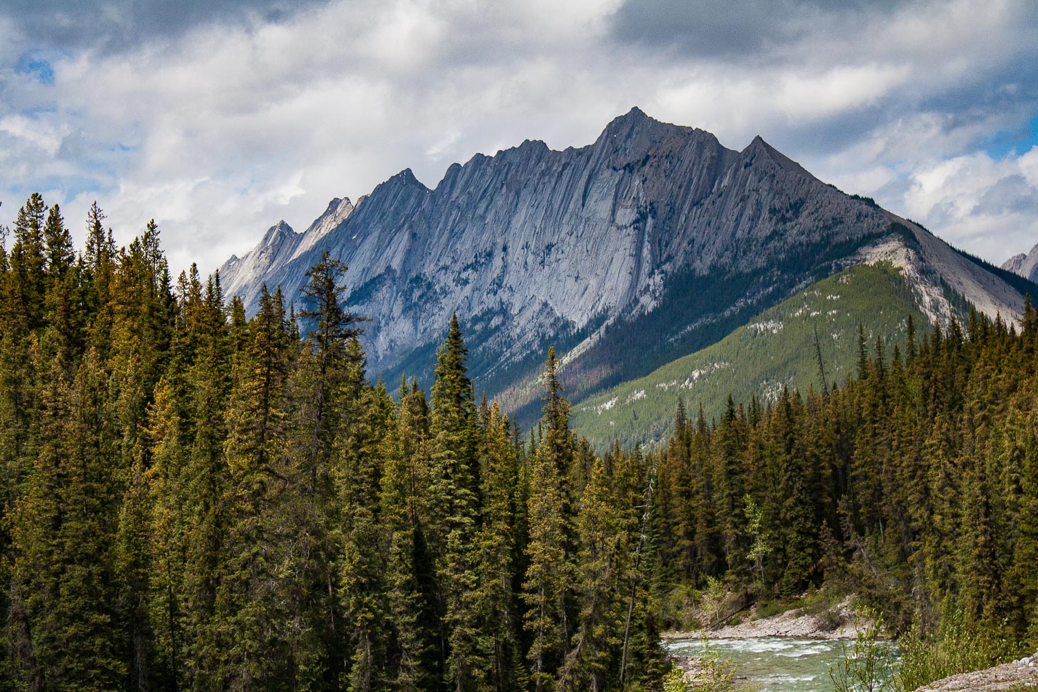
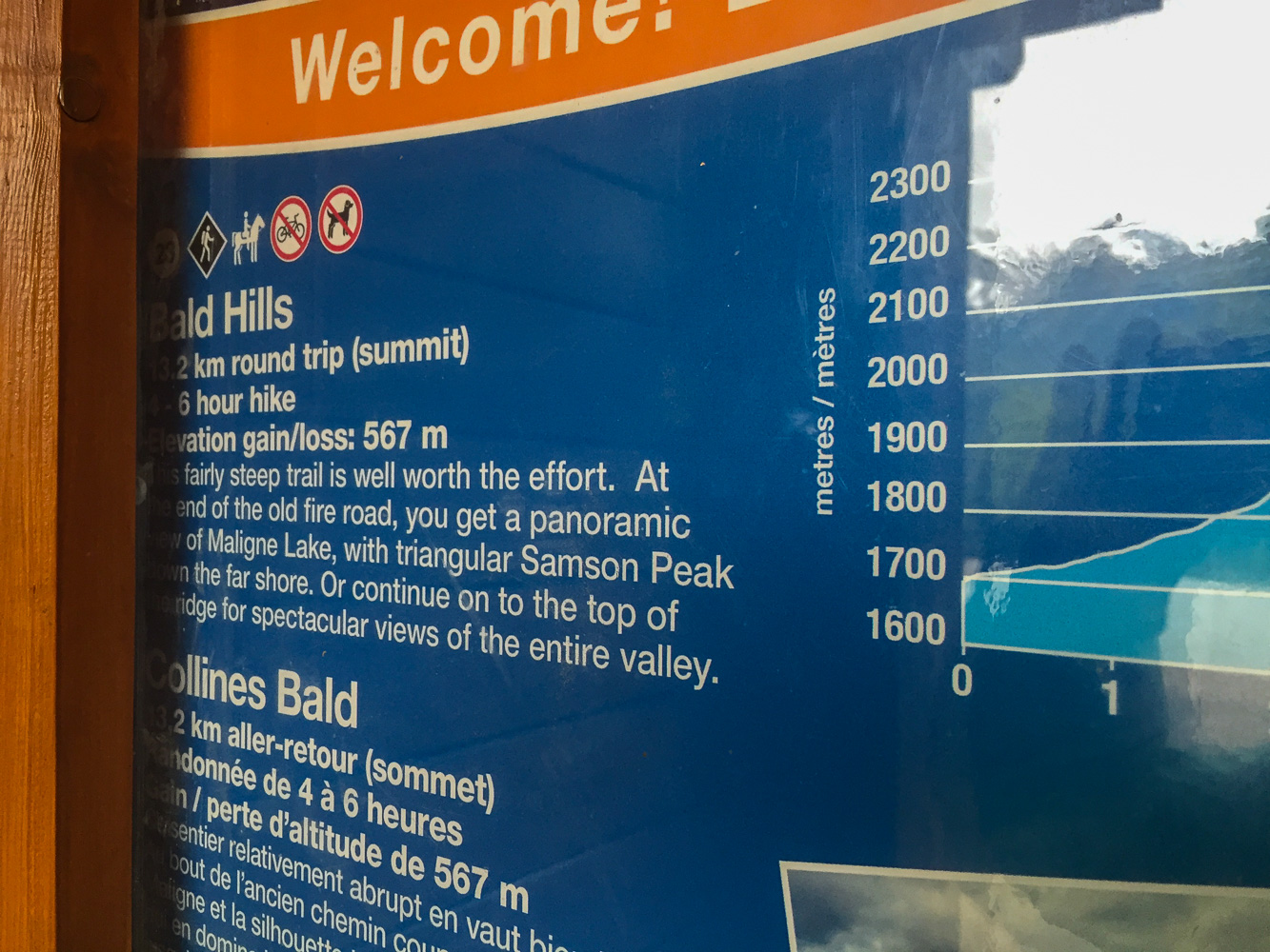
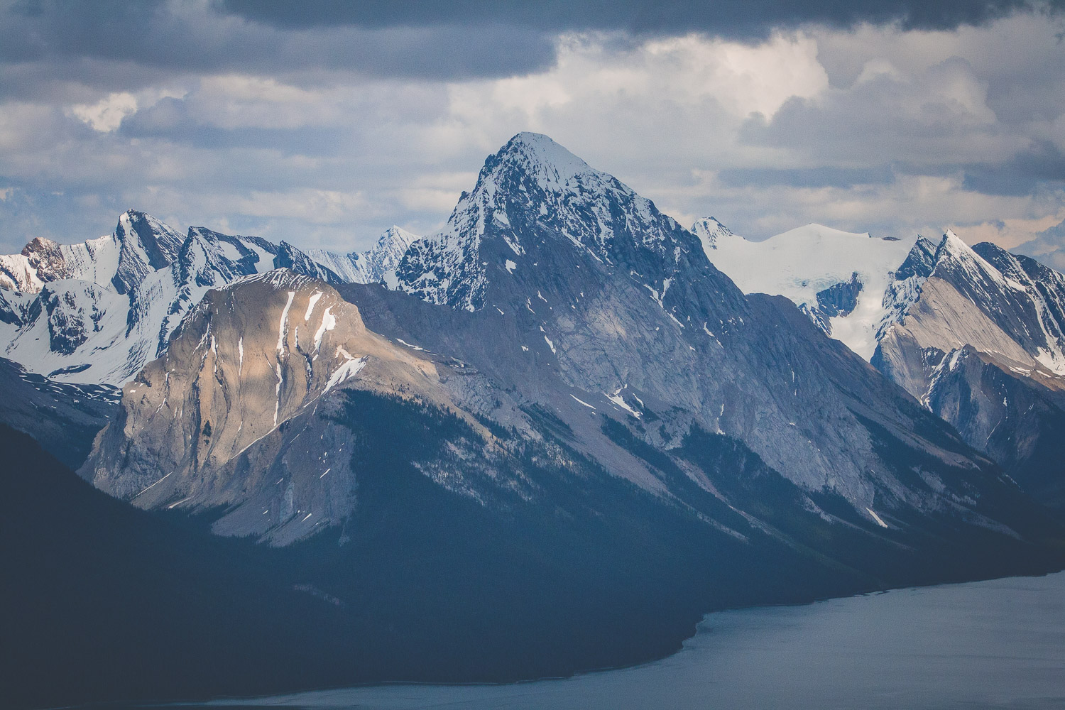
The views of deep forest, lakes and mountains could be seen in all four directions. It was hard to know where to look at times, and I wanted to stop at every pullout, which we of course did not do. We would probably still be there if I could have gotten it my way. But, we were finally going to hike, so I was super excited about that. We drove towards Maligne Lake because that is where the trail head to Bald Hills is located. We passed the Medicine Lake and drove along fire scarred forests and majestic mountains. Bald Hills summit is a 13.2 km out and back hike, that offers spectacular views. Again the weather was sunny now, but there were clouds on the horizon. I really do not know how we always manage to pick a hike where we see absolutely no other people.

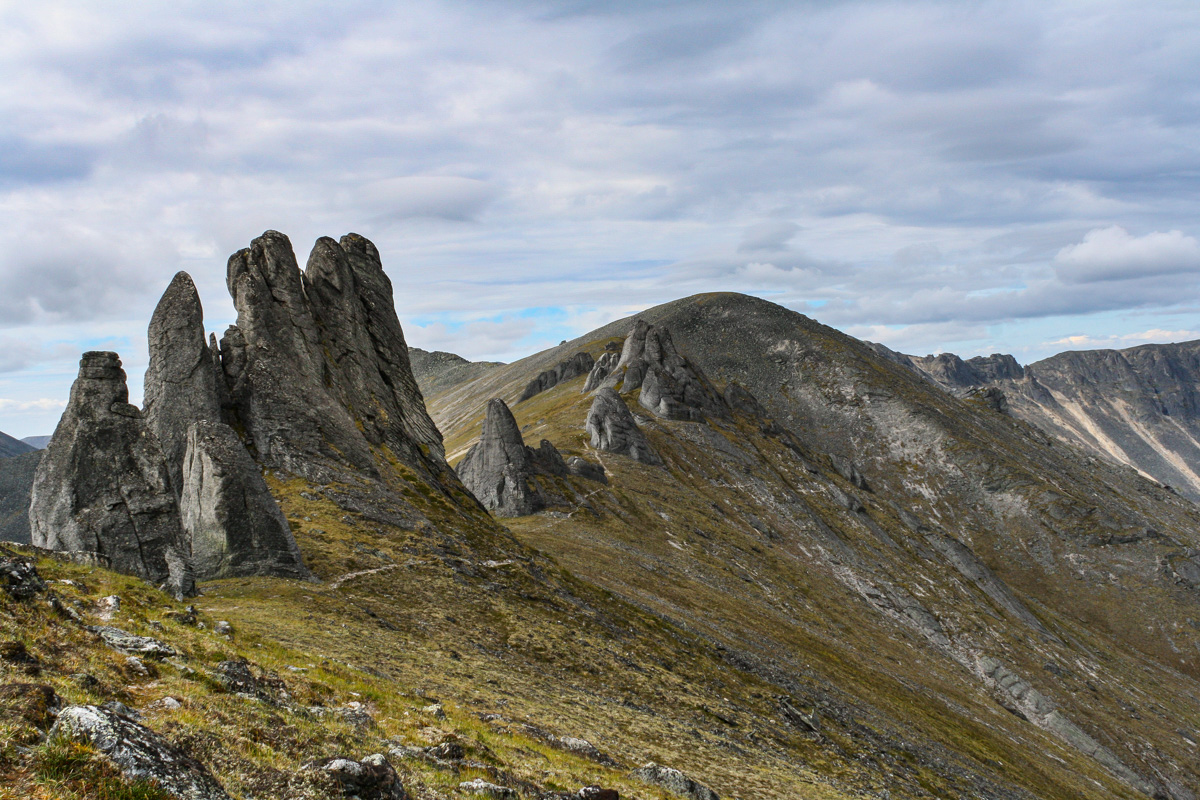
Bald Hills Summit Trail

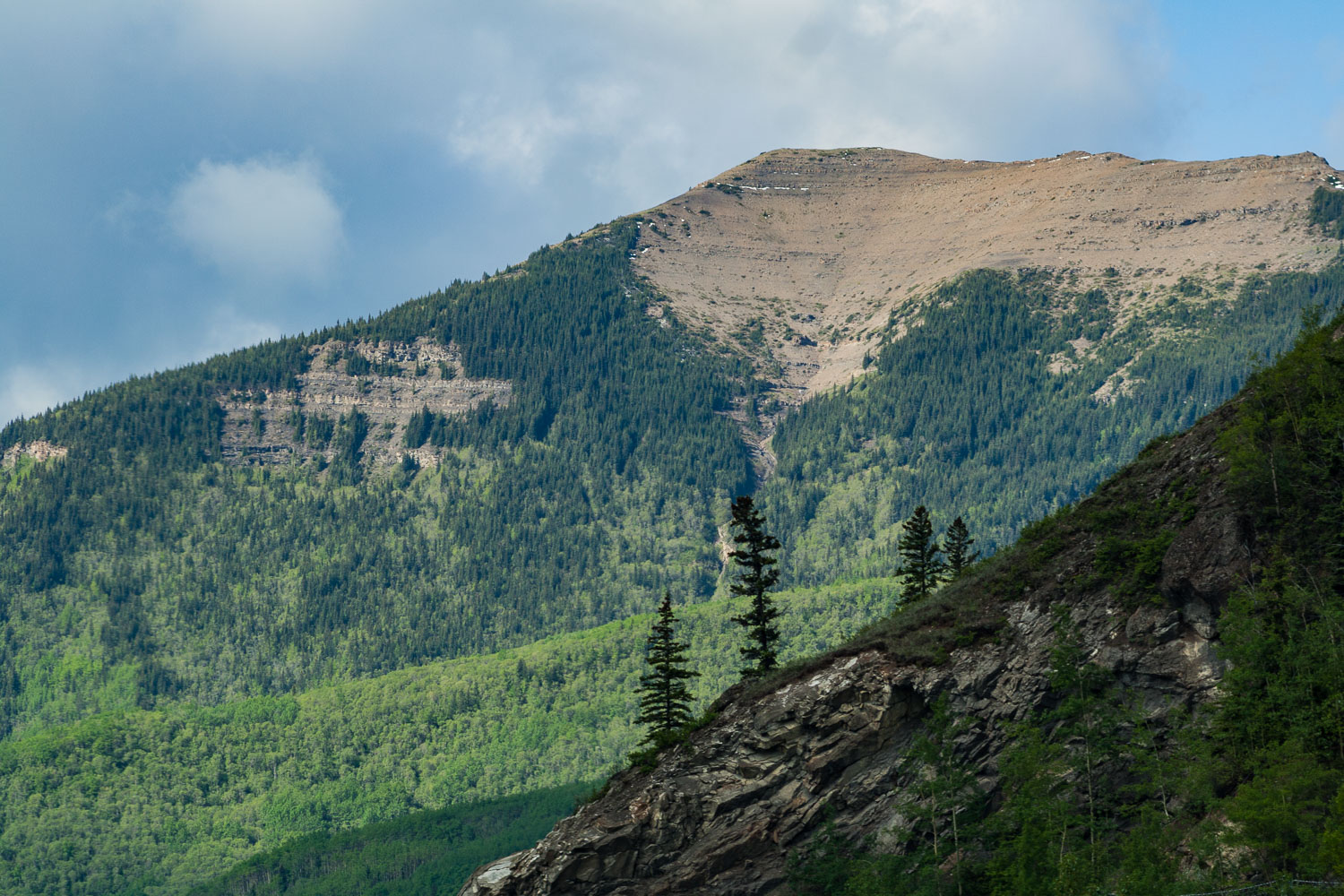
This trail first takes you through the deep forest, crossing streams and slowly going up in elevation. When you are so far up in elevation that mountains and lakes start appear through the gaps between the large trees that surrounds you. Eventually you break out from the forest and step out into the alpine vegetation, because now you are more than 2,000 meters above sea level.

Up above the treeline

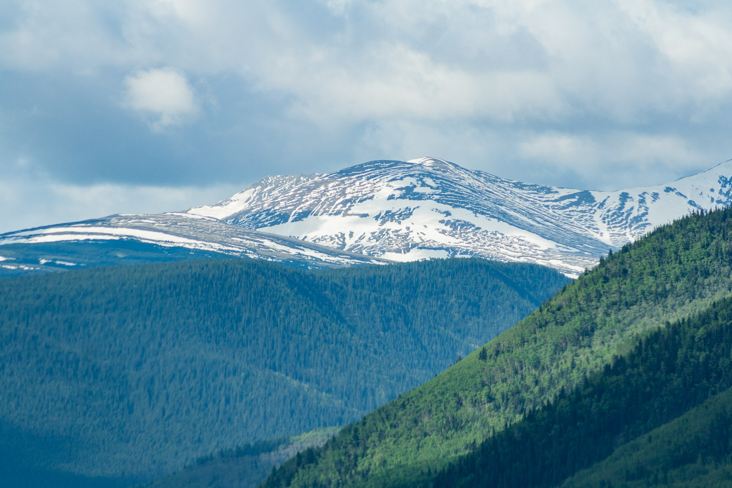
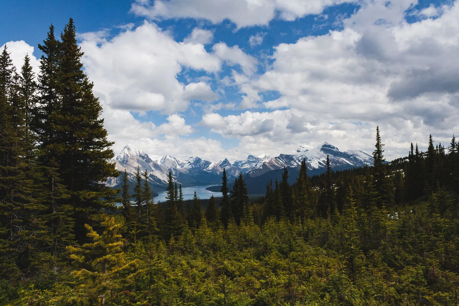
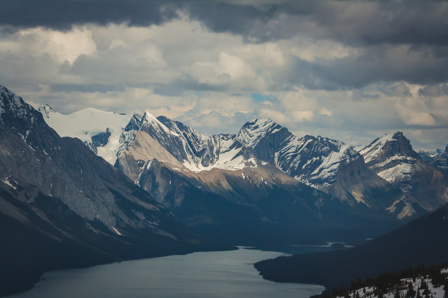
Eventually we broke through the treeline and ended up in a field of snow. It was indeed late May, which in the mountains still mean snow. And the mountains, those mountains wherever you turned your eyes. The last part of the trail is fairly steep, and we were walking through some very deep snow. From the top of the Bald Hills summit you have 360 degree panorama views of the Canadian Rocky Mountains. From the top you can also see Maligne lake, the lake we could spot through the trees earlier. Of course with the rain constantly haunting us we managed to see a wonderful full rainbow over the mountains.

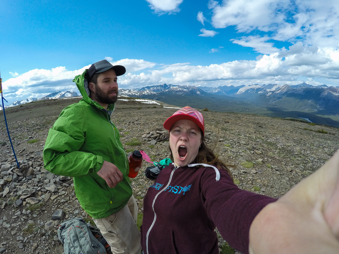
Of course we had to take a few selfies in the mountains too! On the way down we played around in the snow a bit until we reach the trees and the forest again. We had such a good luck with the weather, but as always the dark clouds were coming towards us, and we got in a hurry to get off the mountains before the rain came.

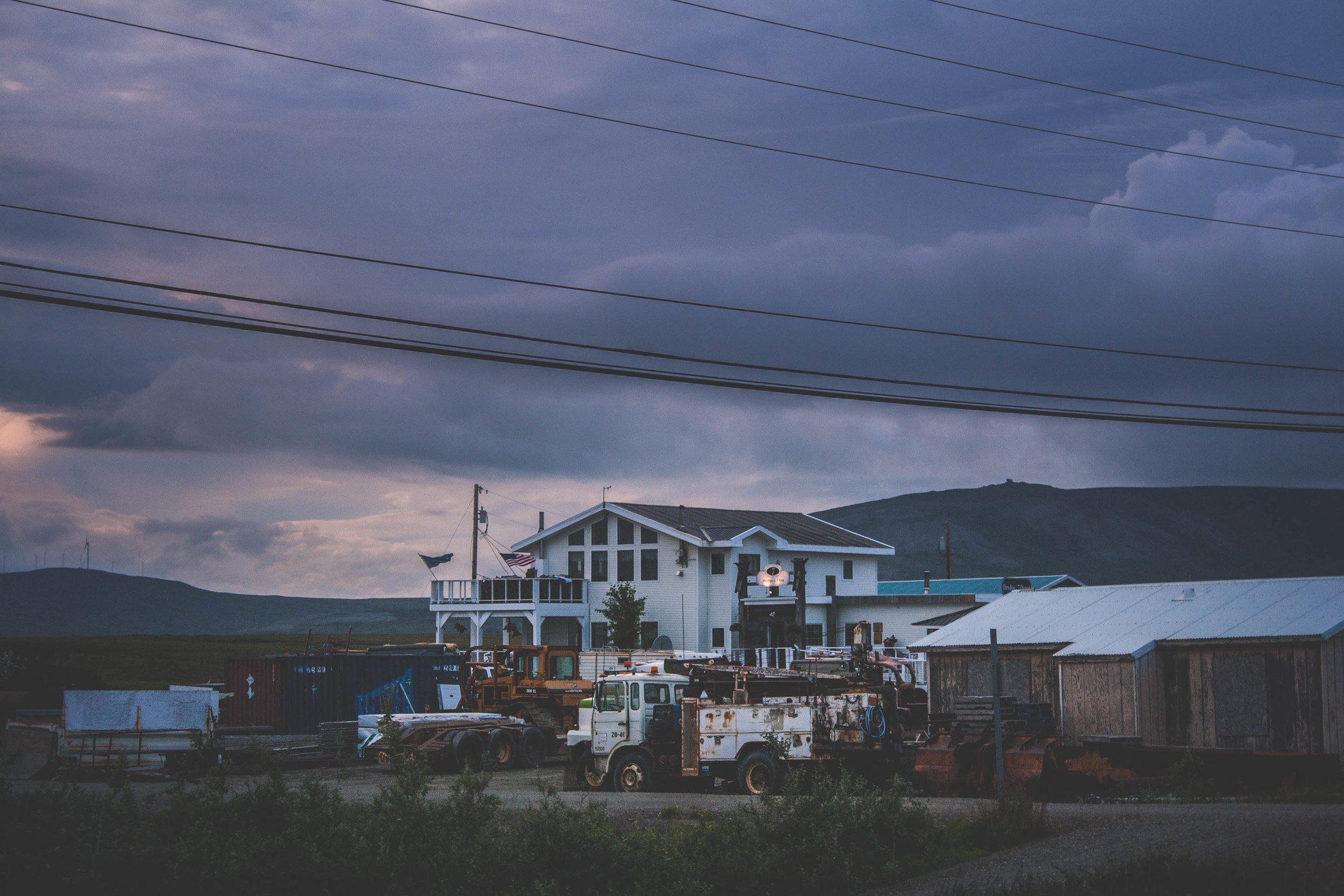
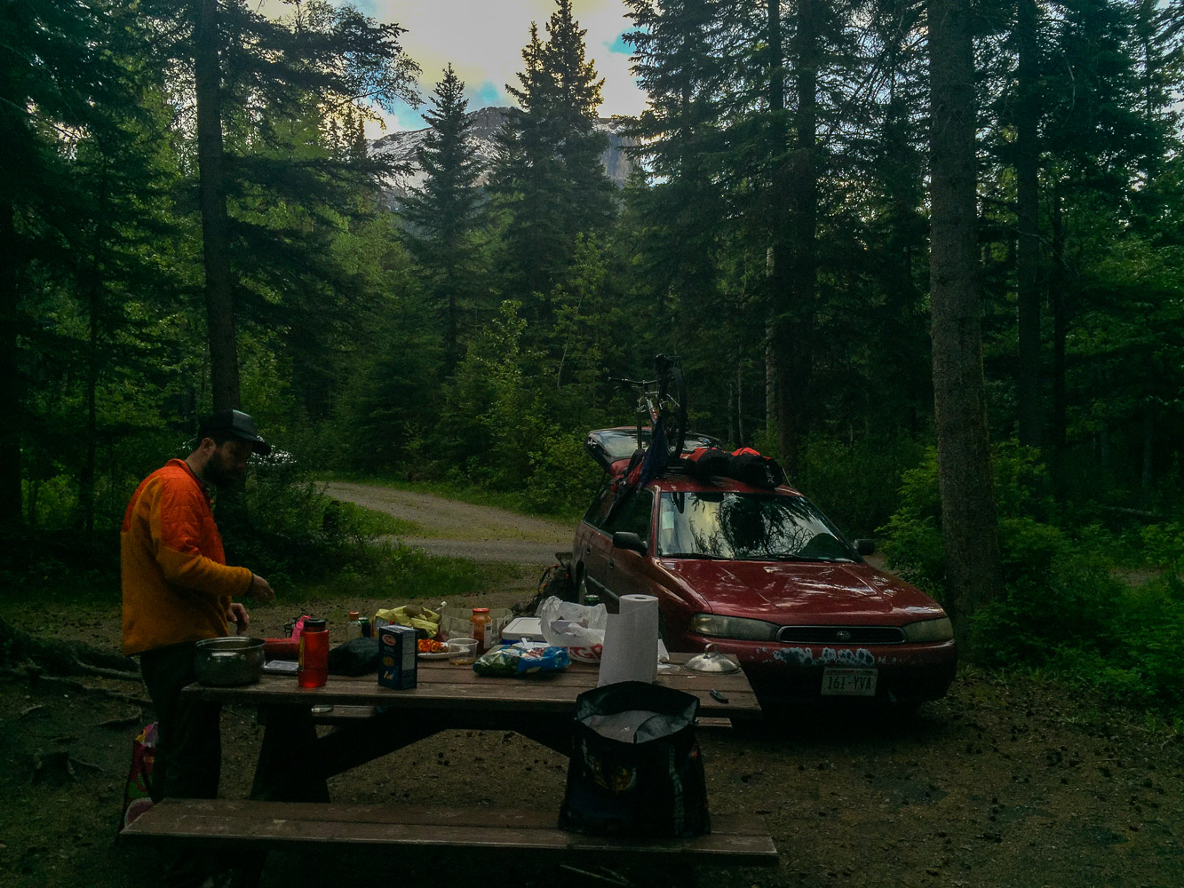
When we were done with the hike we went and got a camping spot. We didn’t want to drive too far after the hike so we had picked out a campground fairly close to the hiking trail, Pocahontas Campground. We had been worried about finding a spot, since it seemed like there were so many tourists around, well on the road, and not on the hike of course. But when we finally got to the campground, it was completely empty, of course. I immediately realized that we had reach civilization when I saw the soda vending machine by the bathrooms at the campground.

Day 5 trip Details - Gas, Camping, and gas mileage:

  • Canada: Shell Canada Grande Praire AB. 18.5 miles from Saskatoon Island Provincial Park. Mileage 25 miles/gallon

  • Canada: Petro Canada Jasper AB. 250.8. Mileage 24.49 miles/gallon

  • Total driving on day 5, about 269.3+ 29.9 miles from gas station to Pocahontas Campground (299.2).

  • The grand total of the whole trip: 1702.3 miles

  • Campground: Pocahontas Campground, AB

The Ultimate Roadtrip pt.4

IMG_8383-May 24, 2016.jpg

Clouds on the Horizon

DAY 4, 05/24/16: Liard Hotsprings to Saskatoon Island Provincial Park

The rain had once again caught up with us. It had rained a large part of the evening before, and this morning some light rain was mixed with the clouds that continued to hover over us. It had become pretty clear that we were moving in a direction towards more and more people. We had spent our first night in an empty campground in the Yukon Territory. Now, at Liard Hotsprings we were not so alone any longer. The roads here are wide, but there is a lack of traffic and as I mentioned earlier, summer is the season for roadwork.

Surrounded by Mountains

Since the campground was so crowded, we decided to drive for a bit until we had breakfast. We drove south on the Alcan. Passed mountain after mountain, but not really any other cars. There are so much wilderness here, and parks. National Parks and Provincial Parks. Everywhere you looked there were mountains partially covered in clouds. Deep forests and wilderness as far as the eye could see, and then this wide and empty road leading straight through it. If you have ever looked for serenity, this is it.

Muncho Lake Provincial Park

After about an hour we pulled into MacDonald campground right by Muncho Lake. We went to one of the short-term parking spots and and made some breakfast. As we were standing there the clouds parted a bit and we could see some small specks of blue sky behind a rainbow. We had yet another cup of coffee as we prepared for the long day ahead of us.

I rarely drive, but on a roadtrip like this there is no getting out of it. It is especially hard if you are seeing amazing views out the window. And there were plenty of times I instructed W to take some pictures. With mixed results. This also resulted in less photos of course. But the landscape still amazed us. The Rocky Mountains spread out into the west, but the coming hours we were going to move away from these mountains for a little bit. We would get plenty of views of the Canadian Rocky Mountains in the days ahead. Just like in the US, the Canadian Rocky Mountains are spectacular..

The area south of the Northern Rocky Mountain Provincial Park has more wide open spaces and less mountains. We were still driving on wide roads though, and seeing the regular black bear crossing the road or by the side of the road from time to time.

Saskatoon Island Provincial Park

After 558 miles of driving we arrived at the smallest provincial park we could find, Saskatoon Island Provincial Park. The rain had stopped long time ago and we went for a walk to get some of the free firewood that most of these parks in Canada provide for free. It was late, we could hear other campers talking about the drive they had done so far. They had come from the south, driving north towards Alaska. They still had all of the wilderness and the Yukon ahead of them, and we, we had all of Banff and Jasper ahead of us. We sat by the fire a bit before we too finally went to bed.

Day 4 trip Details - Gas, Camping, and gas mileage:

  • Canada: Petro Canada Bluebell inn. Fort Nelson, BC, 200.7 miles from Liard Hotsprings. Gas mileage: 24.64 miles/gallon

  • Canada: Blueberry Esso. Mile 101 Alaska highway, Wonowon, BC, 184.1miles. Gas mileage: 26.58 miles/gallon

  • Total driving on day 4, about 384.8 + 173 miles from Wonowon gas station to Saskatoon Island Provincial Park (557.8).

  • The grand total of the whole trip: 1403.1 miles

  • Campground: Saskatoon Island Provincial Park, AB

Fires and Storms altered the City and what is found there now, is far from what once was there

Adventures_Nome_IMG_6863.jpg

NOME

I can almost see Russia from here

Flashback Friday

The Siberia of Siberia

This past summer I got the opportunity to fly to Nome and help out with some fieldwork there. Incredible what roads you can take once you have remote fieldwork experience and an eye for boreal and arctic vegetation. I’ve already written a post about Nome, and mainly the 4th of July celebration. Nome is a very special place, laying in the far west of Alaska with no roads leading to the small community of about 4000 people. This is not an unusual setting, many communities in Alaska can only be reached by plane. With only about 200 miles to the mainland of Russia, that is as close as I have ever been to Russia I think. The history of Nome starts with the three lucky Swedes, well, they were in fact two Swedes and one Norwegian, but same same..or? During the goldrush Alaska became a popular destination when word spread about all the gold that could be found in this remote location of the US. Alaska has not been a part of the US for that long, well everything is relative right? On March 30th 1867 the US bought Alaska from Russia, paying only 7.2 million dollar. If you have visited some of the more southern coastal cities of Alaska you might have seen many of the Russian Orthodox churches and other cultural remnants of the Russian influence. Well, maybe remnants is the wrong word to use, because there is a strong influence still in these small communities on the coast. These coastal villages were formed long before the US bought Alaska. Those remote territories have been called the Siberia of Siberia by some. The history of Alaska goes farther back than that, but that is a whole different story.

“The trail enters a cul-de-sac, climbing higher and higher. The valley seems to end; a precipitous wall of gray rock, reaching into the sky, seems to head off farther progress, seaming its jagged contour against the sky — a great barrier, uncompromising, forbidding — the Chilkoot Pass” - Tappan Adney

Gold Rush and the birth of Anvil City (Nome)

The Klondike gold rush started in 1896 when gold was discovered in the remote areas of the Yukon Territory, bordering to Alaska to the east, thousands of people travelled there. One of the most famous photos (that is also sold as a postcard) is a photo of the Chilkoot Trail that goes through the Chilkoot Pass, a pass that many of the gold seekers had to hike through, choosing the Golden Stairs or the Peterson routes. It is absolutely amazing that these people actually managed to hike these mountains in sub zero temperatures (although, many did not make it) and still come out alive. Yukon Territory is still extremely remote and sparsely populated. The gold rush in Klondike did not last that long, and soon word spread about Nome. In 1898 Jafet Lindberg, Erik Lindblom and John Brynteson struck gold on Anvil Creek. Once the word spread the tiny place of Anvil Creek suddenly had more than 10,000 people living there, and when more gold was found the real Bonanza was on. Fires and storms altered the city and what is found there now, is far from what once was there. Since the city was built along the Anvil Creek it was named Anvil City, something that fast was changed, to Nome, since Nome river and Cape Nome was nearby and the post office did not want any confusion with the town of Anvik in the Yukon-Koyukuk area of Alaska. Most cities and areas in Alaska were named after the people that found or founded it, but the name Nome was originally a mistake. An officer had in the past on a map marked the larger area to the west with “? Name” since it had not been identified. Later on when the map was reproduced, it was thought that the ? was a C, and the a in Name was an O, and so Cape Nome was born and the rest is history.

The Ice Curtain

Outside of the Seward Peninsula (not to be mistaken for Seward, which lays in Kenai Peninsula) lay two islands, Little Diomede and Big Diomede. They are so close, only 2 miles apart, but yet so far away. Big Diomede is in a whole different timezone, 21 hours to be exact, and belongs to Russia while Little Diomede belongs to the US. As you can imagine, the people who lived on Big Diomede and Little Diomede were related to each other. They are so close to each other so how could they not be. The ice curtain here is as thick as it can be. During the Soviet era in 1948 the people living on Big Diomede were forced off their island to the Russian mainland, and this summer (2018) was actually the very first time they got to see each other again, after several years of not being able to reconnect. It wasn’t only between the two islands people used to cross, but also between all islands of course, and Nome. With the ice curtain families were prevented from returning “home”. 

Front Street

Downtown Nome is front street, and it that lays along the ocean. Here you can find the saloon and several different liquor stores. If you want to eat Korean, Vietnamese, Chinese or Japanese food there are several different restaurants to choose between. Many restaurants also serve a wide array of different foods, ranging from American to Vietnamese. I still haven’t figured out why there is such a large influence of Asian food. Front street is not that long and if you zoom into Nome on google maps you will see how small the town really is. After all there are only 4000 people living here. If you ventured out from front street you will find the larger grocery stores. You can find almost anything in Nome, but it comes with a price. There is a reason why there was such a large hiatus when Sams Club (a bulk size grocery store) shut down in Alaska. Many people from these villages do monthly or quarterly trips to Sams Club, and depend on their shelf food from the store, because the prices in the regular store in the village reflects the cost of shipping (and is outrageous). Of course, the layout of Nome is different now from what it was. Fires went through in the past and even more recently, and the ocean has also taken part of the original city during fierce storms in the past.

The Last Frontier - Oil, Mountains and Freedom?

Just like other cities and villages in Alaska, many heat their home with oil, they have a Toyo or alike and you can see the drum outside the buildings that holds a winters worth of heat. But depending on how well insulated the houses are, the house will keep the heat, or leak it like nobodies business. I’ve had friends who literally could see through the walls of their cabin in Fairbanks, and went through several hundres of gallons oil in one winter, just because the cabin was so leaky. The city of Nome is small, and as soon as you leave the “downtown” your eyes will rest on the mountains and muskox, instead of the ocean and Russia. There is a reason why Alaska is called “The Last Frontier”. If you want freedom, solitude and test your survival skills you can move to Alaska and settle down in a cabin in the woods, or in the mountains. Living like that is not for the light hearted, the winters are brutal with the cold and the darkness. Even though those summer nights last forever, and fall with it’s magical colors, and winter with endless skiing and northern light, come spring and death is knocking on your door. There is a reason why the suicide rate in Alaska is one of the highest in the US right under Montana and Wyoming, especially in the villages and the native population, along with domestic violence. Even though the darkness in itself is not necessarily what triggers the suicides (suicides in Alaska spans the whole year with no real seasonal pattern), it surely doesn’t help. Life in Alaska is tough, for everyone. I would be lying if I said that I’d never been depressed while living in Alaska. I can say that I have gotten a handful of emails from the University of Alaska Fairbanks through the years, letting other students/faculty/staff know that a suicide has occurred on campus. This past fall I read about a man who lived not far from where I lived in Fairbanks, he had like many other people in Alaska, withdrawn from society. They found him this fall, dead from suicide, a suicide that had happened several years ago.

If you or a person you know is considering help, don’t wait

Call 911 for immediate emergency intervention.
Call 877-266-HELP (4357) for the 24/7 Alaska Careline.
Go to the closest hospital or medical facility.
Text “4help” to 839863 Tuesday-Saturday 3pm-11pm.

The Beauty of Alaska

Even in the darkness though, Alaska truly is beautiful. I think that is what captures people. Alaska is captivating, like a spell that never breaks. You’ll get spellbound pretty fast, and once that happens it’s hard to go back. The boreal forest in the interior, the glaciers that touches the ocean in the south, the tundra to the west and north and all the mountains in both Alaska and Brooks Range. It was kind of surreal to drive off into the mountains every day for nearly two weeks. I missed it. That view of the mountains. Flying into Anchortown and later Nome I realized I’d forgotten how beautiful Alaska truly is. I should know, I lived there. But photos of this magical place doesn’t do it justice. Reality is always going to be so much better. Driving the roads out to the field site we saw all of these tiny houses, randomly laid out across the landscape. It’s quite remarkable when you see it. You watch those tiny houses with a backdrop of huge mountains. It makes you wonder, who lives there? When did they move there? Do they use these cabins year round? I’ll write another blogpost about that later, and until then you can rest your eyes on these muskoxen and mountains below!