The Ultimate Roadtrip pt.5

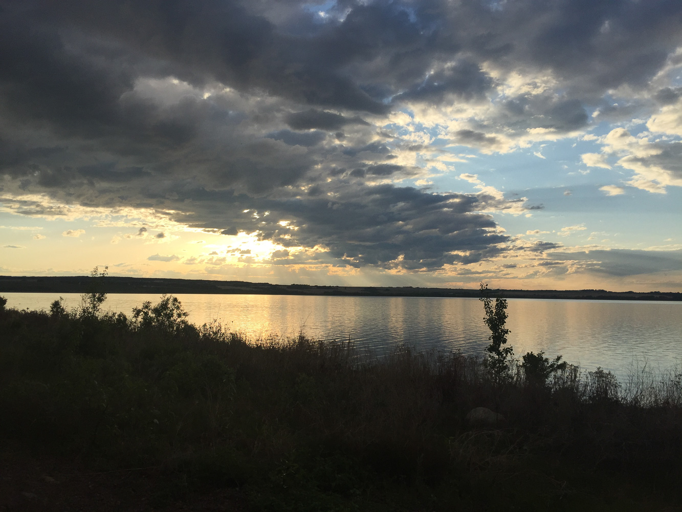
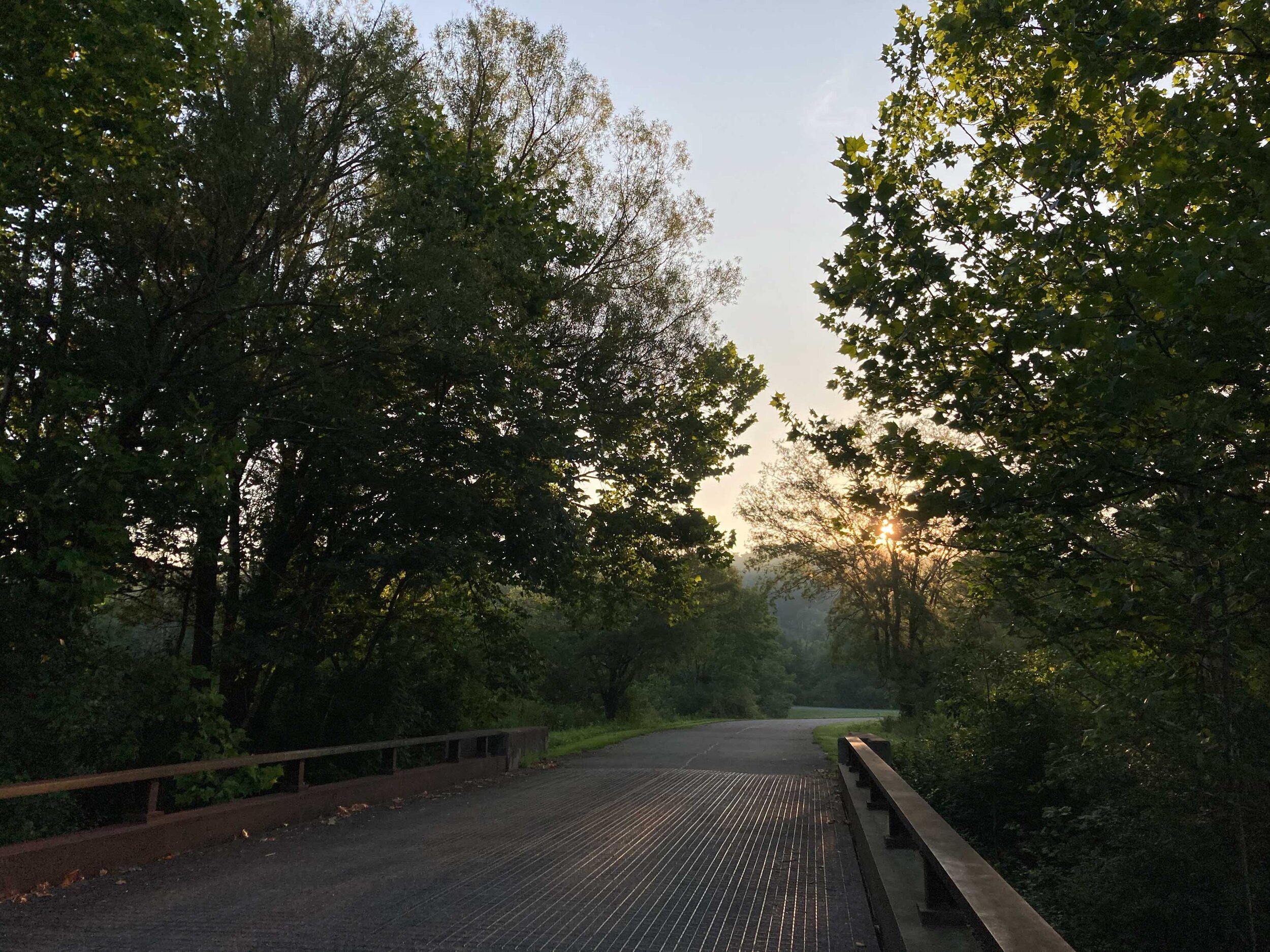
IMG_8661-May 25, 2016.jpg

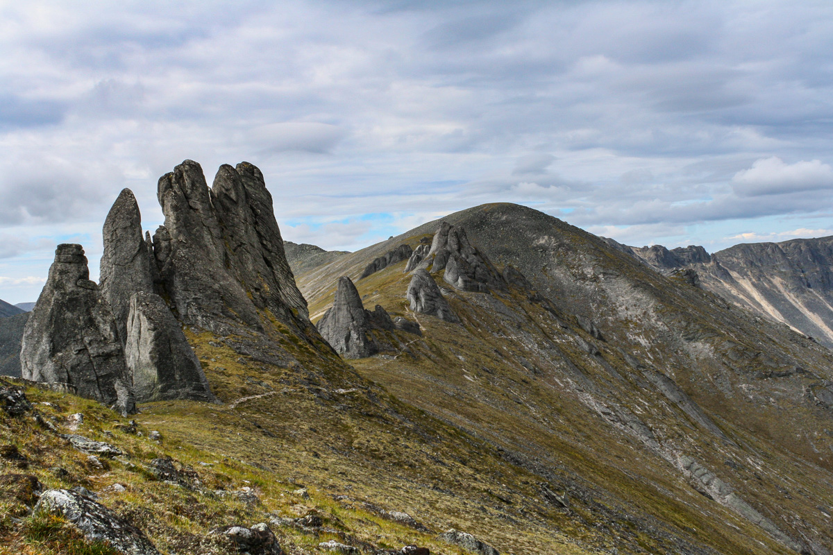
It’s like Alaska on Steroids

DAY 5, 05/25/16: Saskatoon Island Provincial Park to Pocahontas Campground

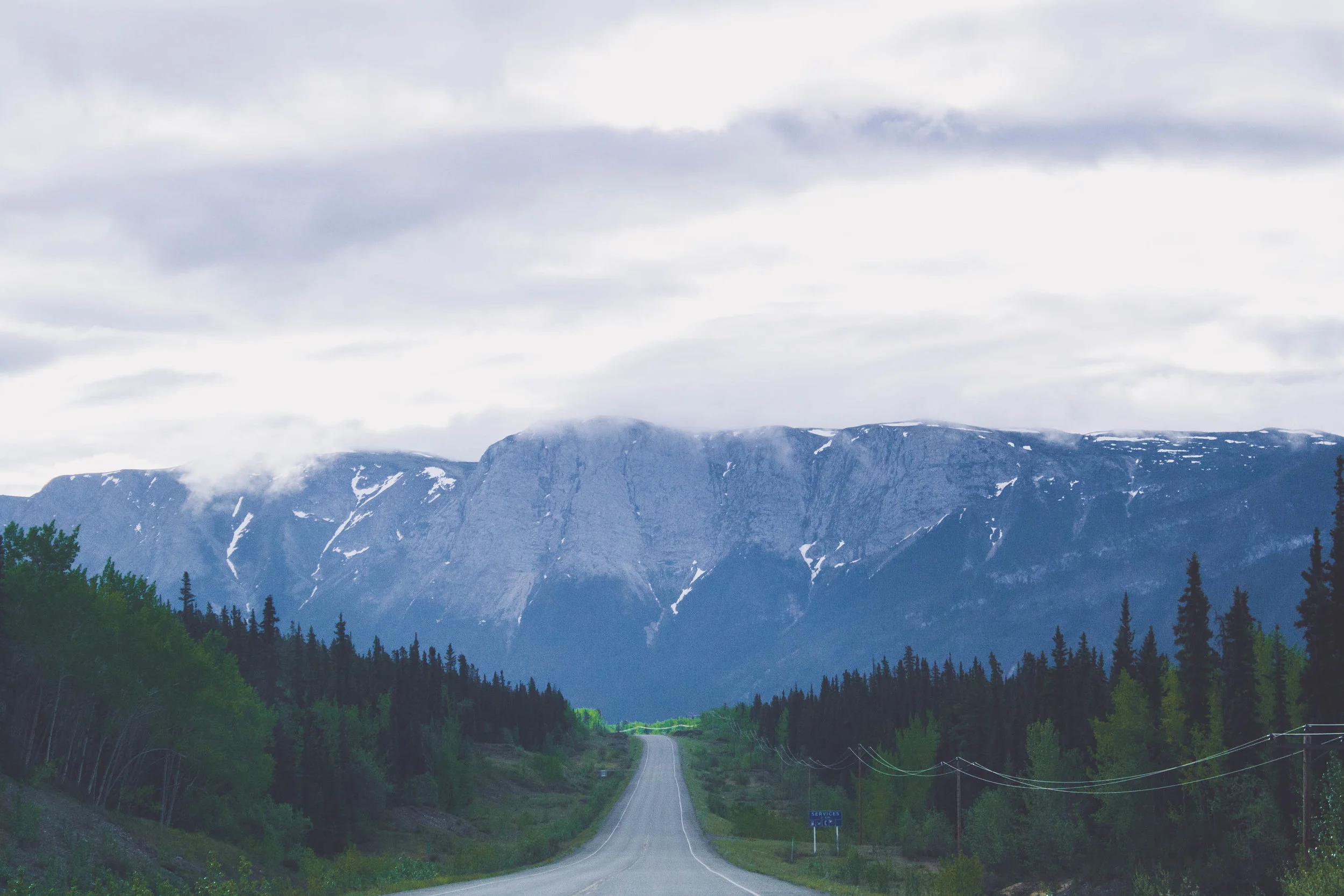
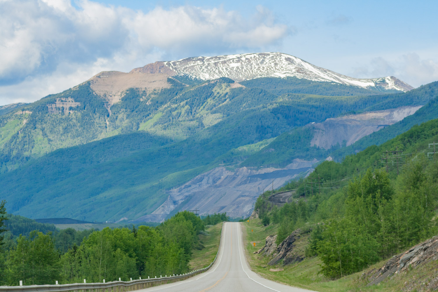
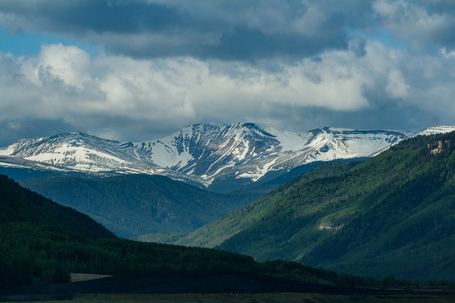
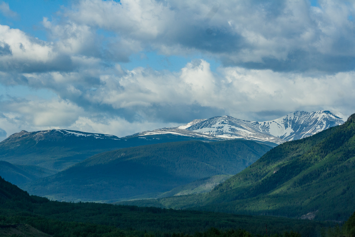
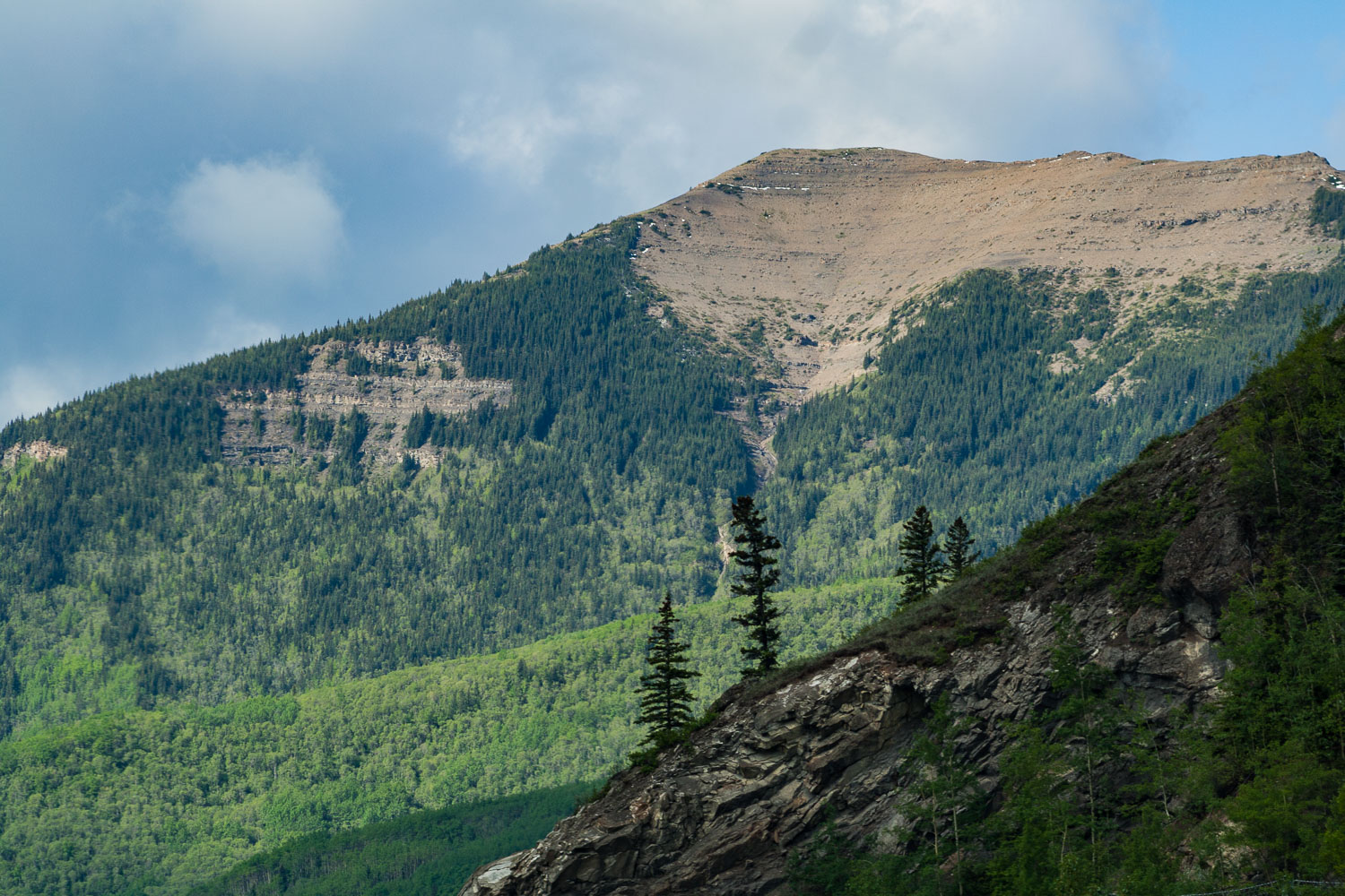
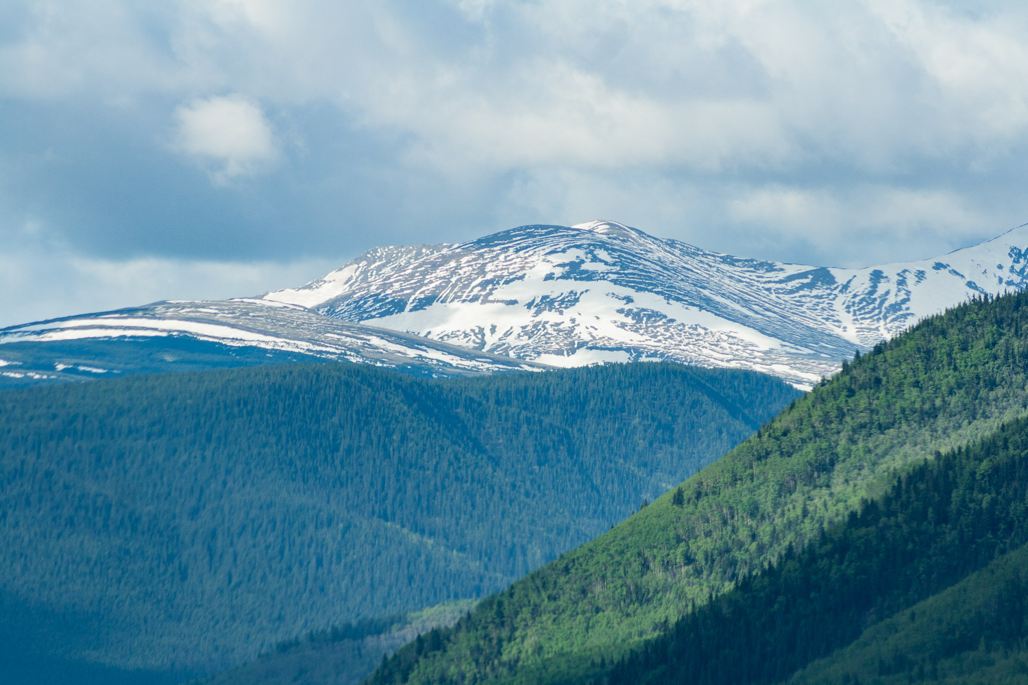
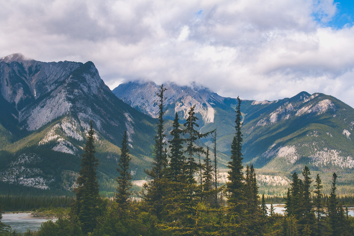
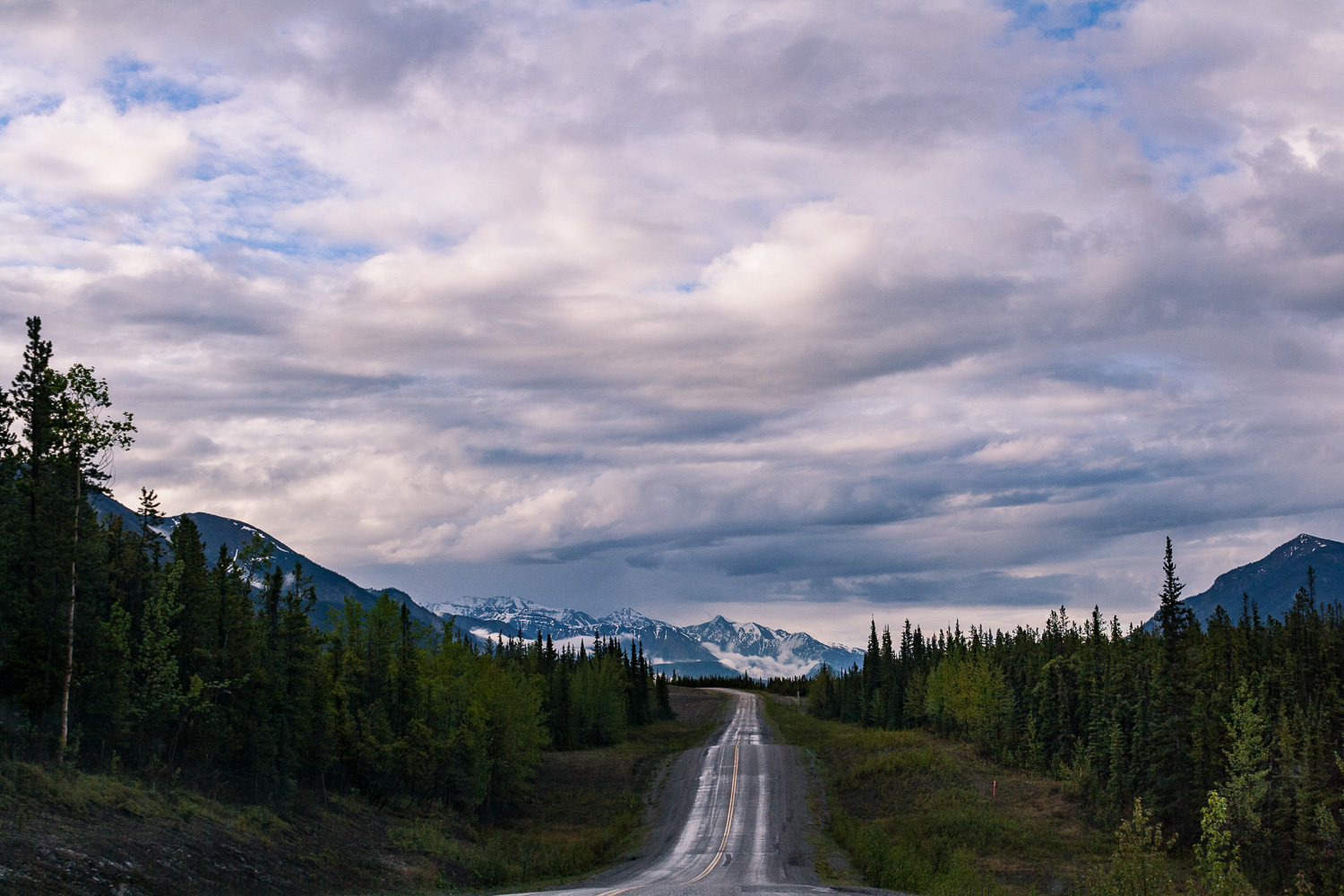
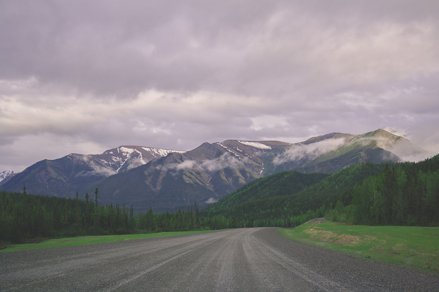
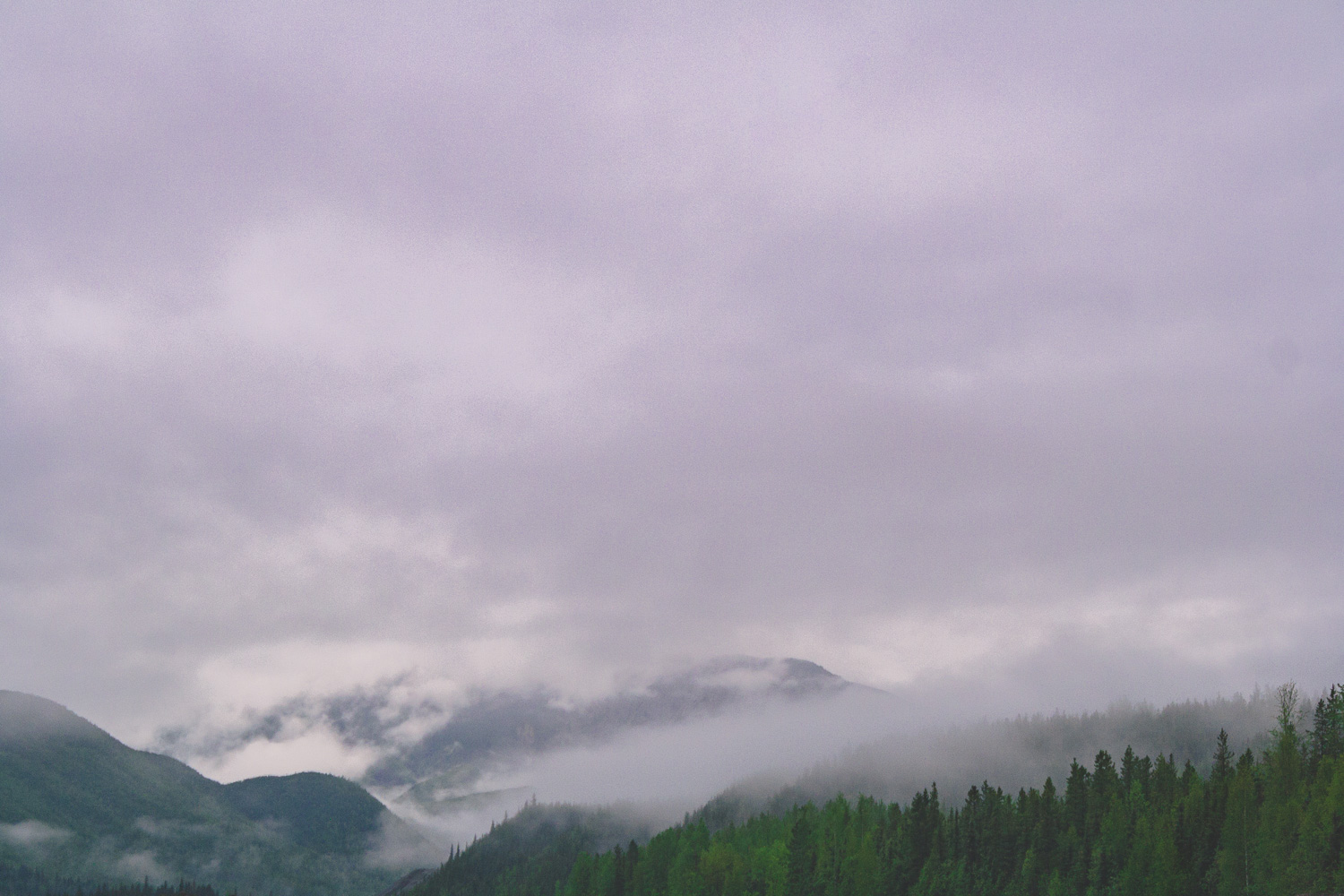
Before I moved to Alaska a Swedish friend who lives there told me that Alaska is like Northern Sweden on Steroids. Well here we were, our fifth day of driving, and I could never have imagined that the views would get even better than what they had been. At one point I looked out the window and told W, I am saturated, saturated of mountains. I said, I can’t take it any longer as I put down the camera on my lap and just stared at all these magnificent views. If Alaska is like northern Sweden on steroids, Western Canada is like Alaska on Steroids. These two coming days we were going to drive fairly long stretches, but we also wanted to explore the national parks a little bit.

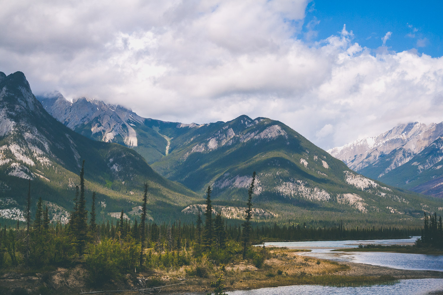
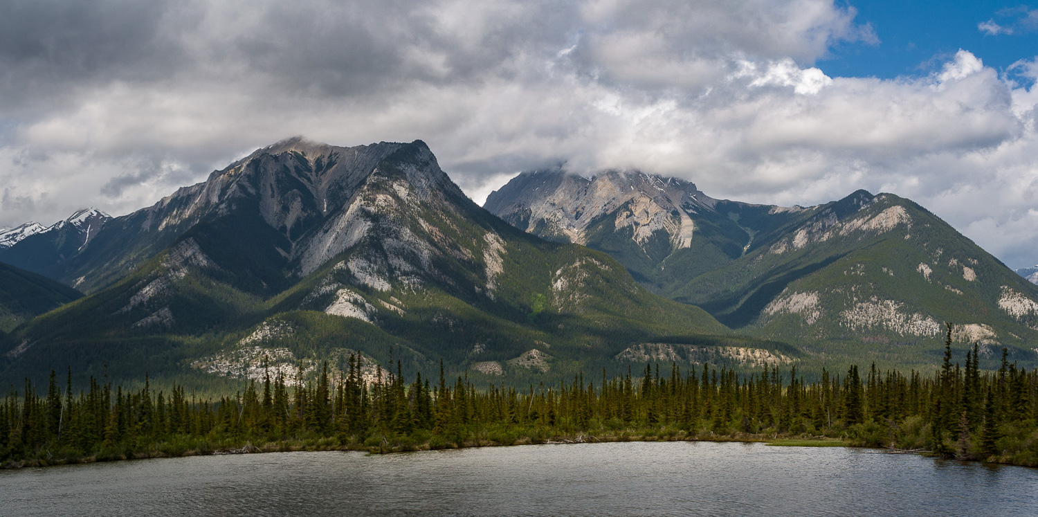
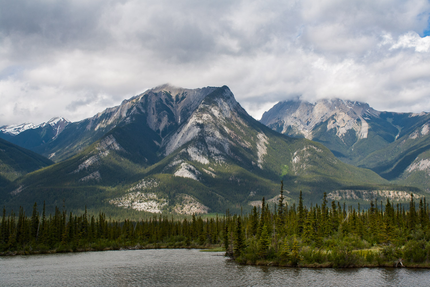
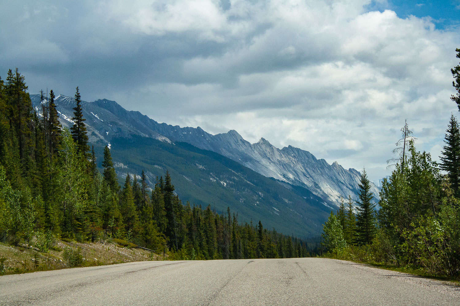
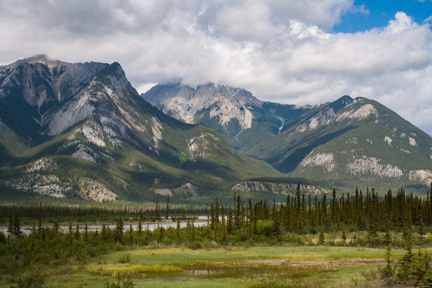
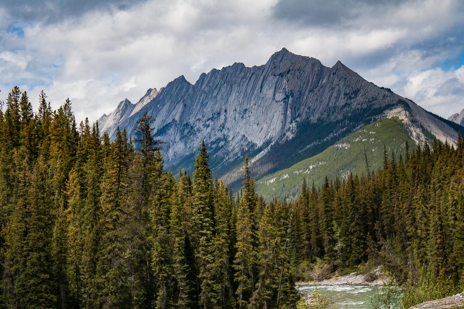
We were on the road before 8 am and I think we started to get tired by now. Day five, on our roadtrip. Last time we showered was at Liard Hotsprings, but that didn’t bother us as much as sitting still in a car. Luckily we were on our way to two incredible national parks in Canada, Jasper and Banff. Our drive was going to be short today (well, everything is relative right?), because we were finally gonna stretch our legs and conquer a mountain! After about 4 hrs of driving through a wide open landscape that slowly took us closer and closer to the mountains we were now entering Jasper National Park. As you enter Jasper the road immediately takes you into the mountains, and the views are just out of this world. I don’t know of any other place like Jasper and Banff. When you cross the Athabascan river, driving south on the Yellowhead Highway the views are just out of this world. I know I keep using the same adjectives, spectacular, incredible, out of this world, but if you have ever been here I am sure you would have a hard time not to overuse all of these describing words too.

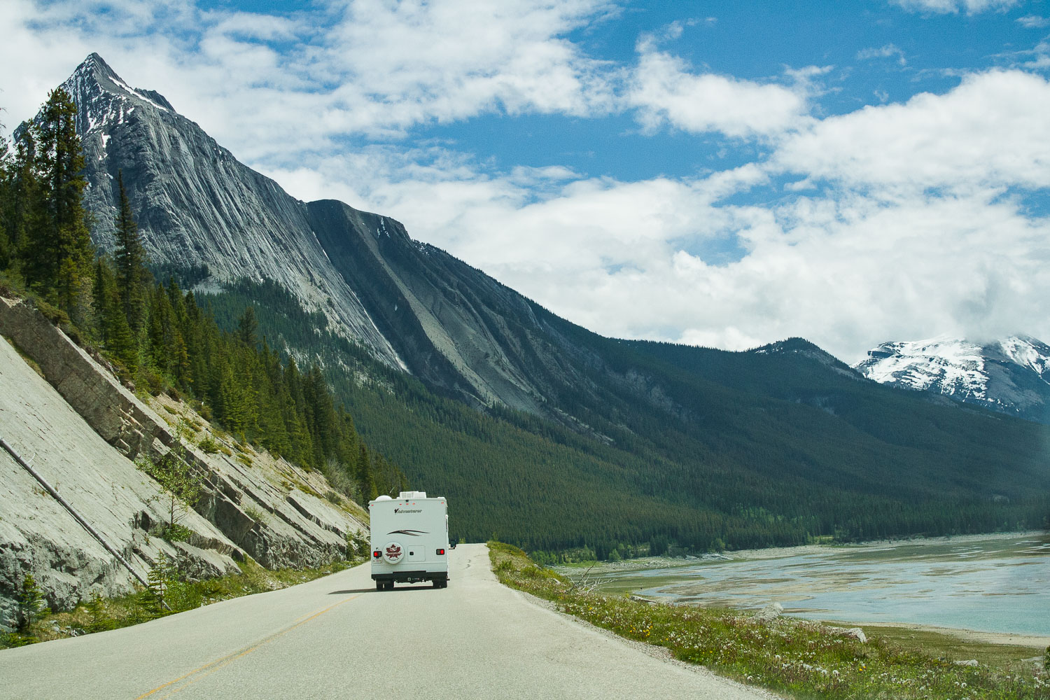
Driving through Maligne Canyon

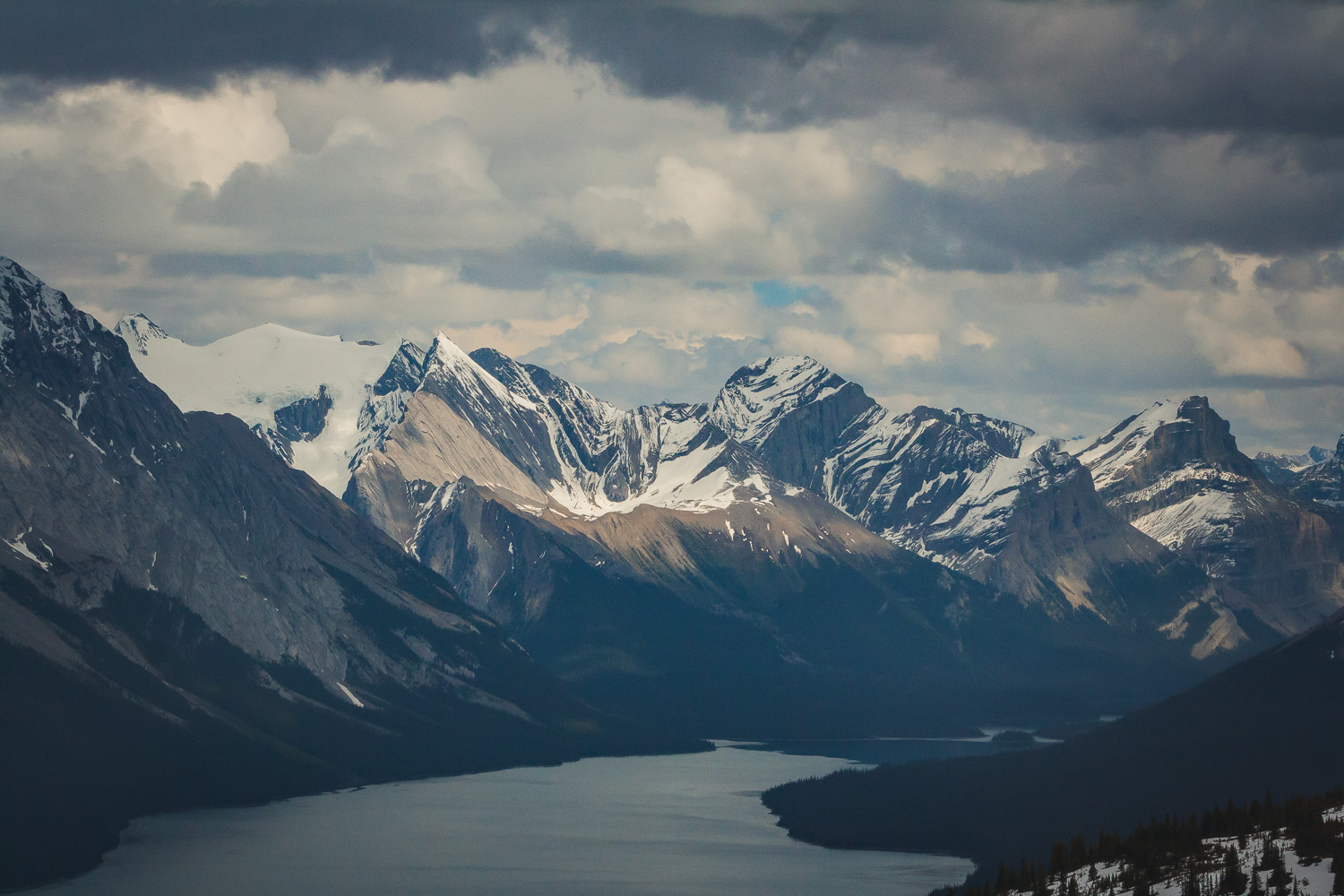
The views of deep forest, lakes and mountains could be seen in all four directions. It was hard to know where to look at times, and I wanted to stop at every pullout, which we of course did not do. We would probably still be there if I could have gotten it my way. But, we were finally going to hike, so I was super excited about that. We drove towards Maligne Lake because that is where the trail head to Bald Hills is located. We passed the Medicine Lake and drove along fire scarred forests and majestic mountains. Bald Hills summit is a 13.2 km out and back hike, that offers spectacular views. Again the weather was sunny now, but there were clouds on the horizon. I really do not know how we always manage to pick a hike where we see absolutely no other people.

Bald Hills Summit Trail

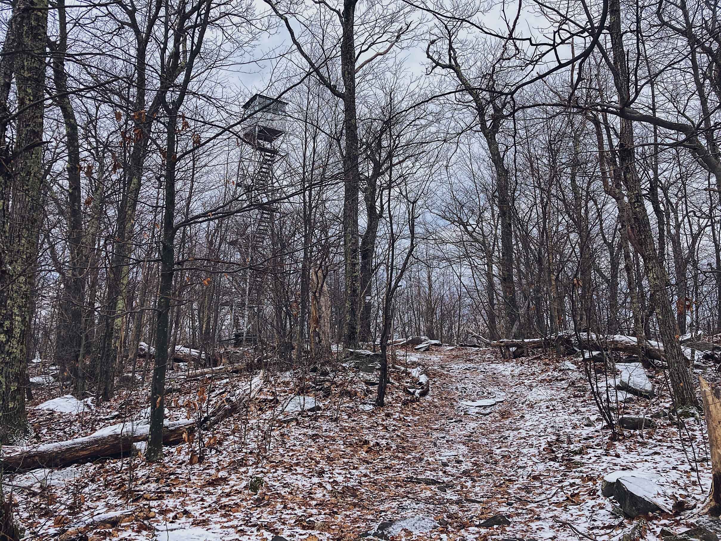
This trail first takes you through the deep forest, crossing streams and slowly going up in elevation. When you are so far up in elevation that mountains and lakes start appear through the gaps between the large trees that surrounds you. Eventually you break out from the forest and step out into the alpine vegetation, because now you are more than 2,000 meters above sea level.

Up above the treeline

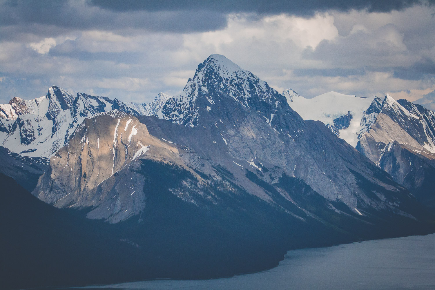
Eventually we broke through the treeline and ended up in a field of snow. It was indeed late May, which in the mountains still mean snow. And the mountains, those mountains wherever you turned your eyes. The last part of the trail is fairly steep, and we were walking through some very deep snow. From the top of the Bald Hills summit you have 360 degree panorama views of the Canadian Rocky Mountains. From the top you can also see Maligne lake, the lake we could spot through the trees earlier. Of course with the rain constantly haunting us we managed to see a wonderful full rainbow over the mountains.

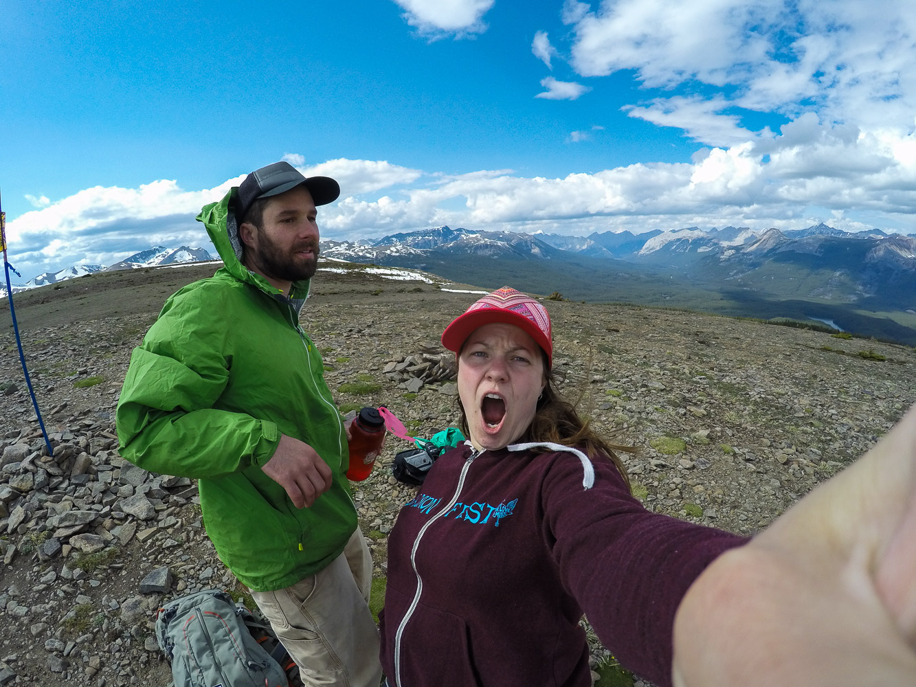
Of course we had to take a few selfies in the mountains too! On the way down we played around in the snow a bit until we reach the trees and the forest again. We had such a good luck with the weather, but as always the dark clouds were coming towards us, and we got in a hurry to get off the mountains before the rain came.

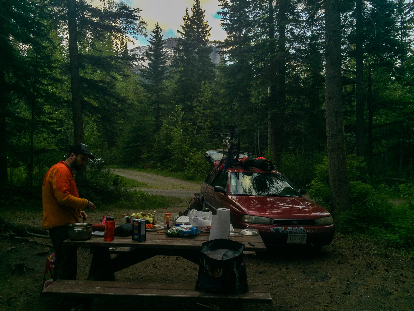
When we were done with the hike we went and got a camping spot. We didn’t want to drive too far after the hike so we had picked out a campground fairly close to the hiking trail, Pocahontas Campground. We had been worried about finding a spot, since it seemed like there were so many tourists around, well on the road, and not on the hike of course. But when we finally got to the campground, it was completely empty, of course. I immediately realized that we had reach civilization when I saw the soda vending machine by the bathrooms at the campground.

Day 5 trip Details - Gas, Camping, and gas mileage:

  • Canada: Shell Canada Grande Praire AB. 18.5 miles from Saskatoon Island Provincial Park. Mileage 25 miles/gallon

  • Canada: Petro Canada Jasper AB. 250.8. Mileage 24.49 miles/gallon

  • Total driving on day 5, about 269.3+ 29.9 miles from gas station to Pocahontas Campground (299.2).

  • The grand total of the whole trip: 1702.3 miles

  • Campground: Pocahontas Campground, AB

The Ultimate Roadtrip pt.4

IMG_8383-May 24, 2016.jpg

Clouds on the Horizon

DAY 4, 05/24/16: Liard Hotsprings to Saskatoon Island Provincial Park

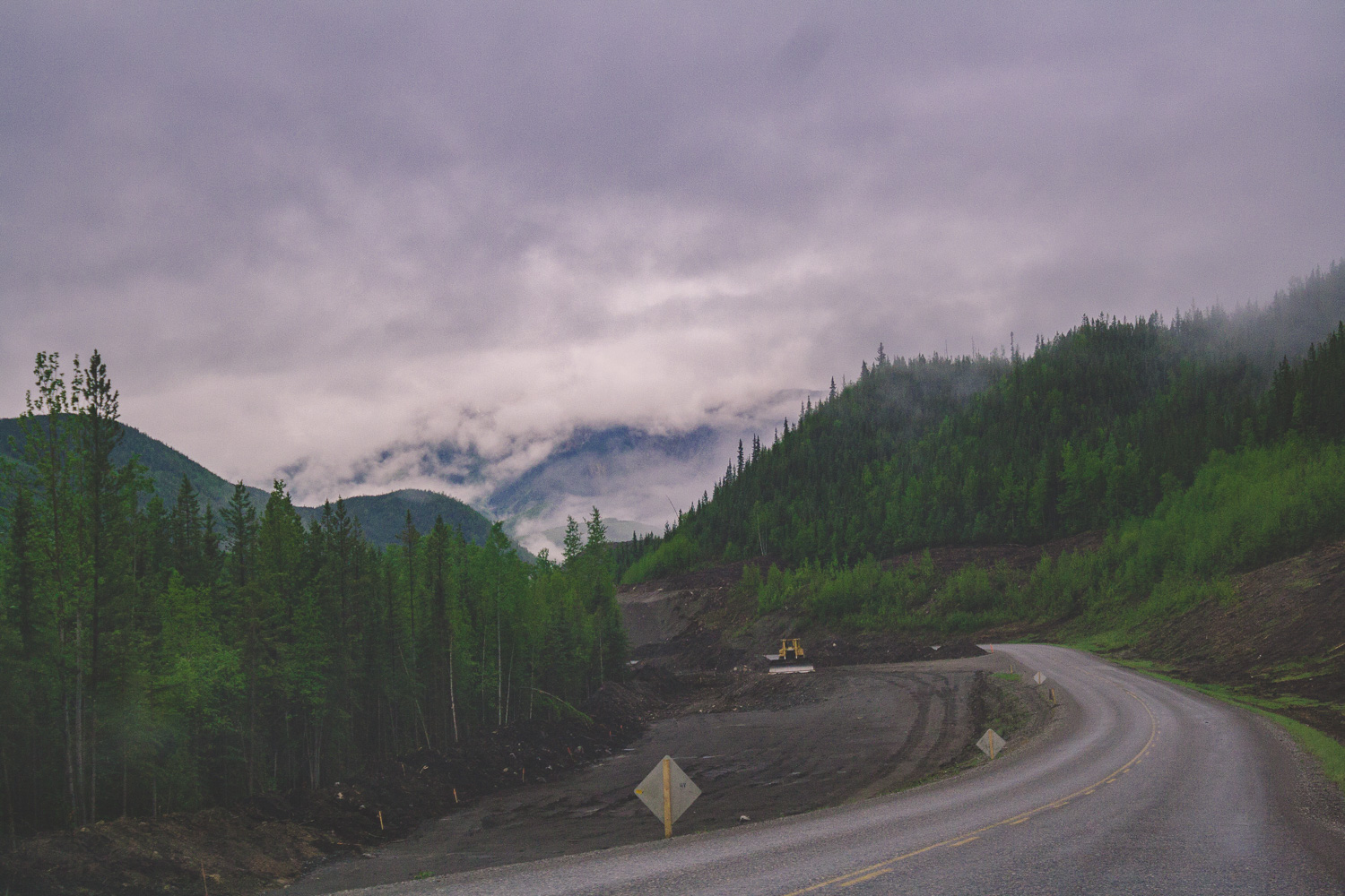
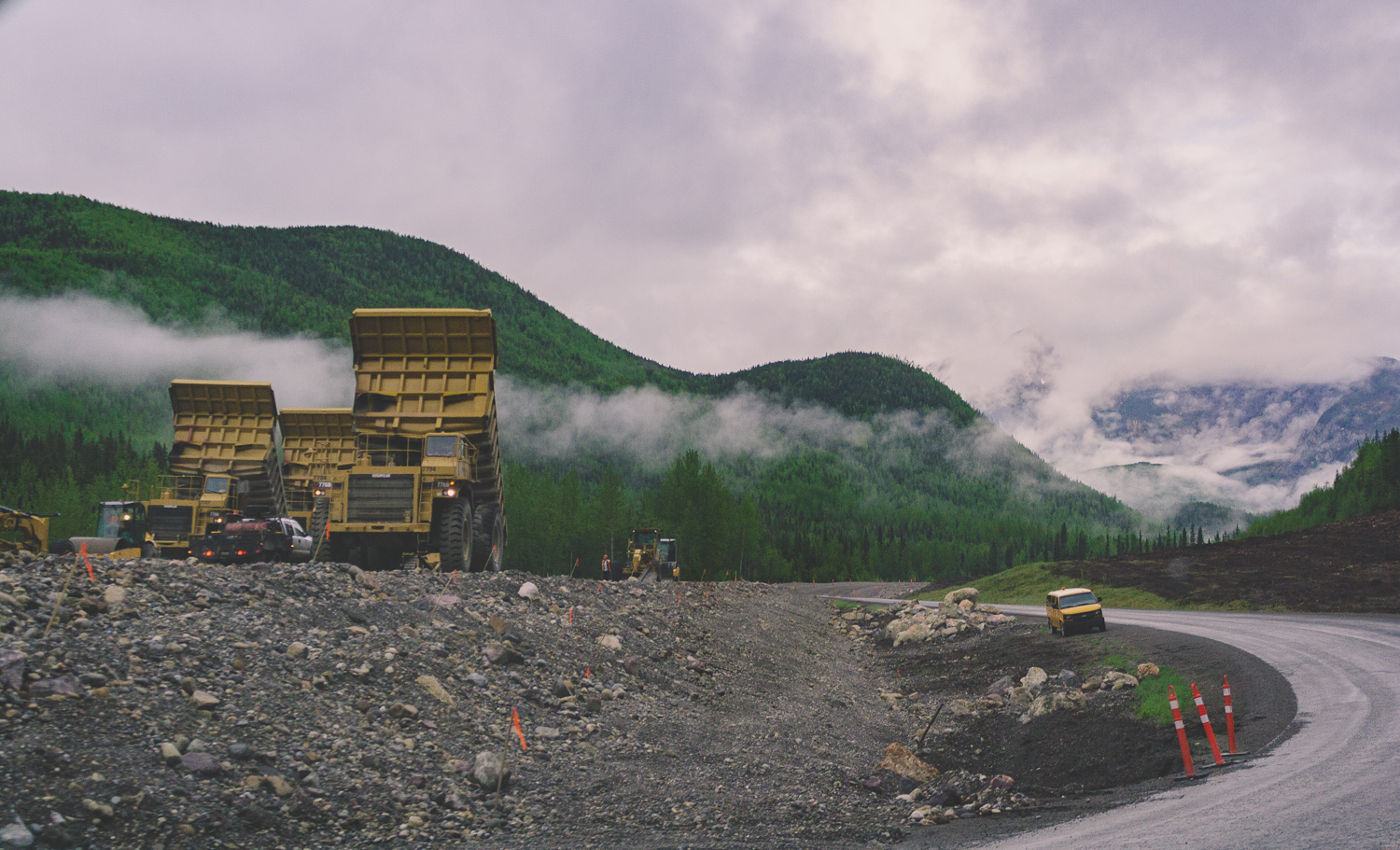
The rain had once again caught up with us. It had rained a large part of the evening before, and this morning some light rain was mixed with the clouds that continued to hover over us. It had become pretty clear that we were moving in a direction towards more and more people. We had spent our first night in an empty campground in the Yukon Territory. Now, at Liard Hotsprings we were not so alone any longer. The roads here are wide, but there is a lack of traffic and as I mentioned earlier, summer is the season for roadwork.

Surrounded by Mountains

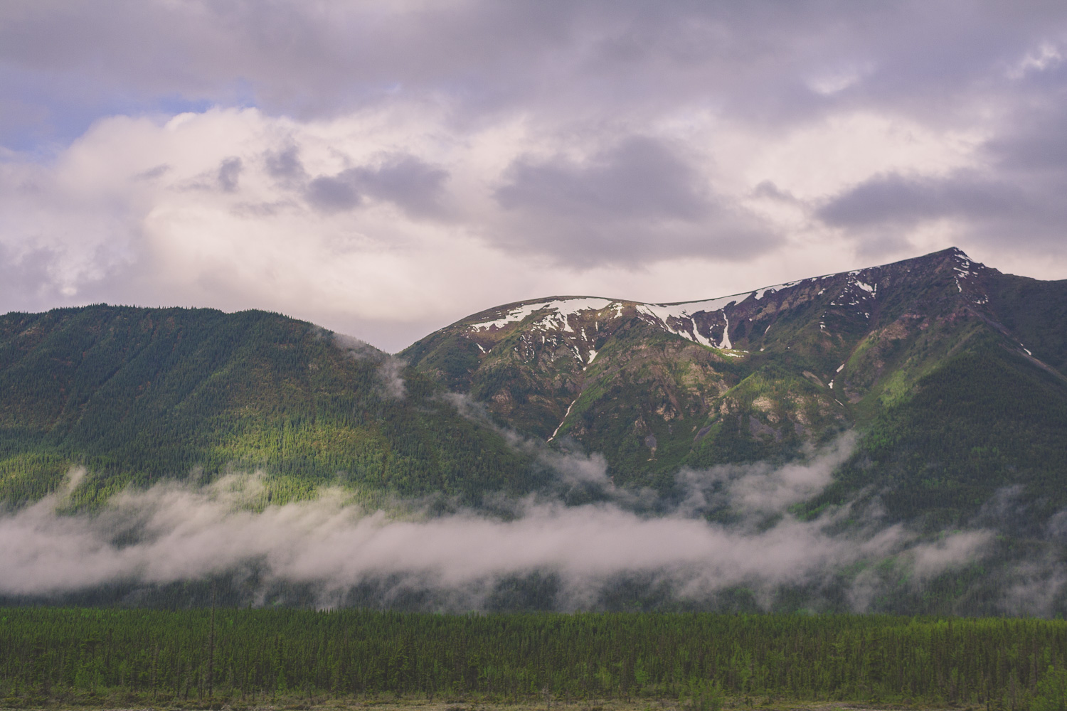
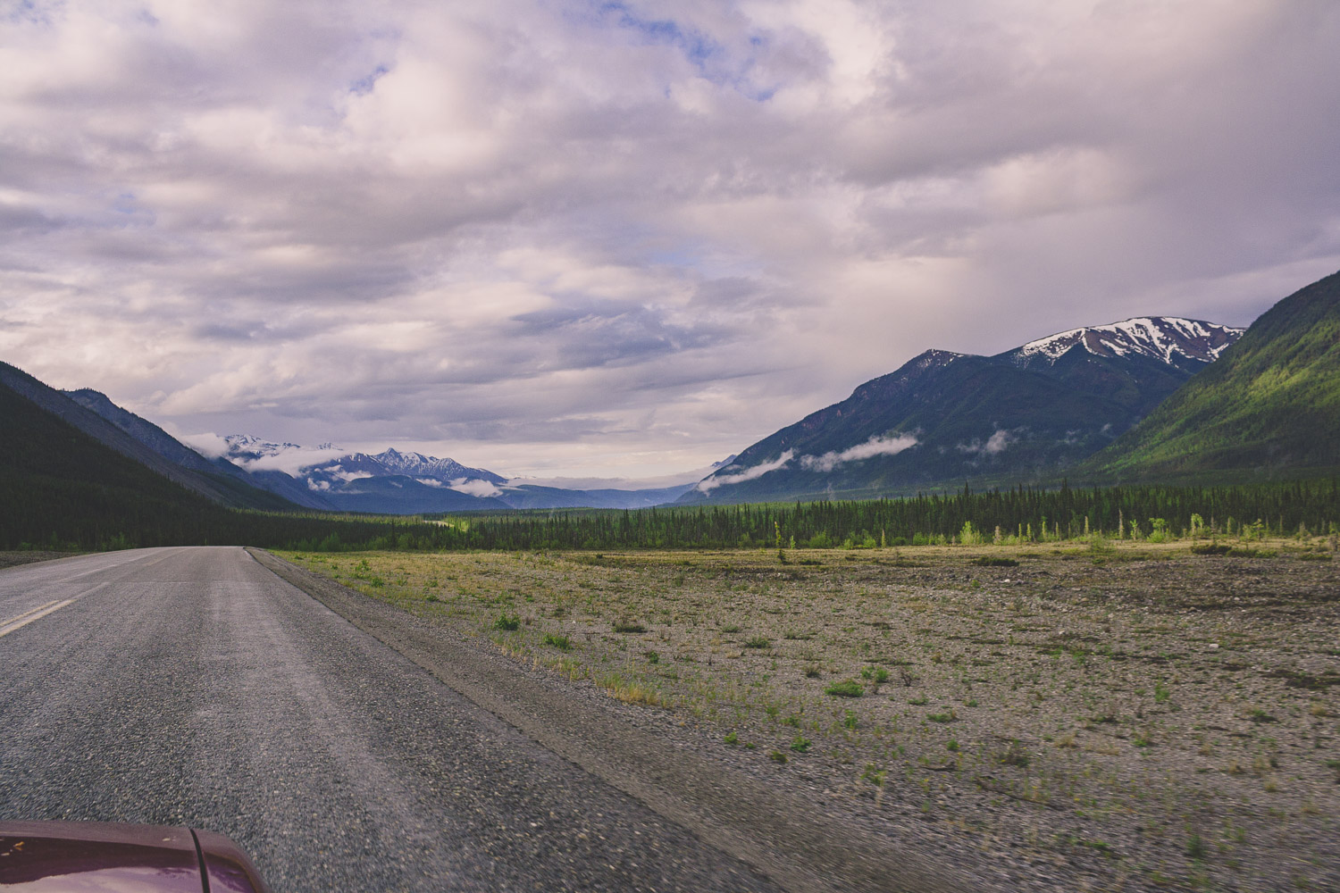
Since the campground was so crowded, we decided to drive for a bit until we had breakfast. We drove south on the Alcan. Passed mountain after mountain, but not really any other cars. There are so much wilderness here, and parks. National Parks and Provincial Parks. Everywhere you looked there were mountains partially covered in clouds. Deep forests and wilderness as far as the eye could see, and then this wide and empty road leading straight through it. If you have ever looked for serenity, this is it.

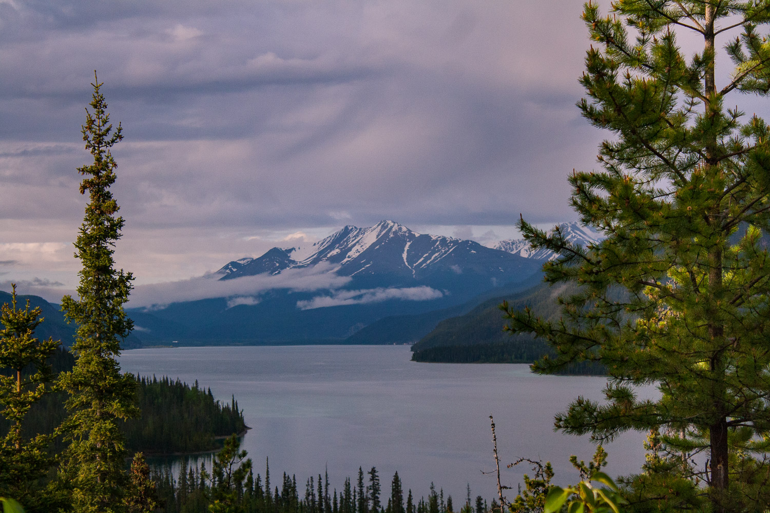
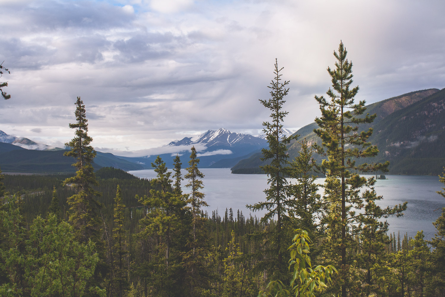
Muncho Lake Provincial Park

After about an hour we pulled into MacDonald campground right by Muncho Lake. We went to one of the short-term parking spots and and made some breakfast. As we were standing there the clouds parted a bit and we could see some small specks of blue sky behind a rainbow. We had yet another cup of coffee as we prepared for the long day ahead of us.

I rarely drive, but on a roadtrip like this there is no getting out of it. It is especially hard if you are seeing amazing views out the window. And there were plenty of times I instructed W to take some pictures. With mixed results. This also resulted in less photos of course. But the landscape still amazed us. The Rocky Mountains spread out into the west, but the coming hours we were going to move away from these mountains for a little bit. We would get plenty of views of the Canadian Rocky Mountains in the days ahead. Just like in the US, the Canadian Rocky Mountains are spectacular..

The area south of the Northern Rocky Mountain Provincial Park has more wide open spaces and less mountains. We were still driving on wide roads though, and seeing the regular black bear crossing the road or by the side of the road from time to time.

Saskatoon Island Provincial Park

After 558 miles of driving we arrived at the smallest provincial park we could find, Saskatoon Island Provincial Park. The rain had stopped long time ago and we went for a walk to get some of the free firewood that most of these parks in Canada provide for free. It was late, we could hear other campers talking about the drive they had done so far. They had come from the south, driving north towards Alaska. They still had all of the wilderness and the Yukon ahead of them, and we, we had all of Banff and Jasper ahead of us. We sat by the fire a bit before we too finally went to bed.

Day 4 trip Details - Gas, Camping, and gas mileage:

  • Canada: Petro Canada Bluebell inn. Fort Nelson, BC, 200.7 miles from Liard Hotsprings. Gas mileage: 24.64 miles/gallon

  • Canada: Blueberry Esso. Mile 101 Alaska highway, Wonowon, BC, 184.1miles. Gas mileage: 26.58 miles/gallon

  • Total driving on day 4, about 384.8 + 173 miles from Wonowon gas station to Saskatoon Island Provincial Park (557.8).

  • The grand total of the whole trip: 1403.1 miles

  • Campground: Saskatoon Island Provincial Park, AB

NYC Parks and Planning

Walking through all these Parks

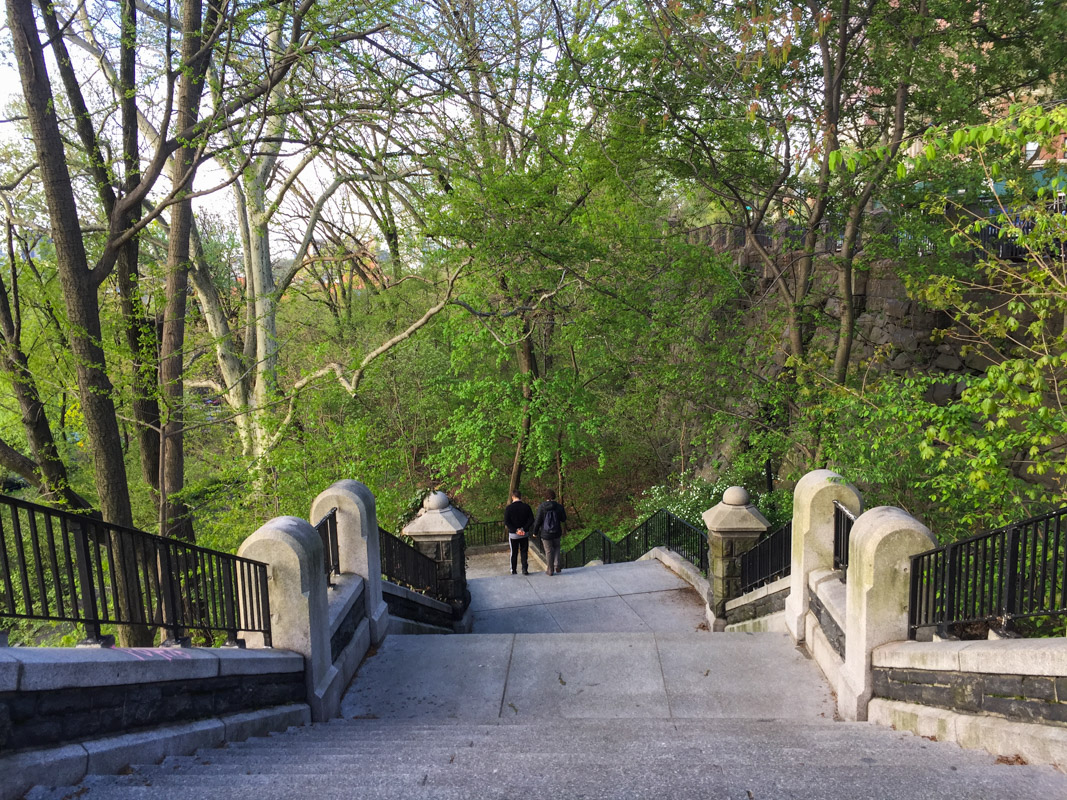
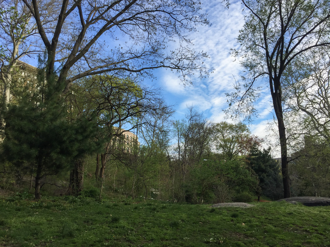
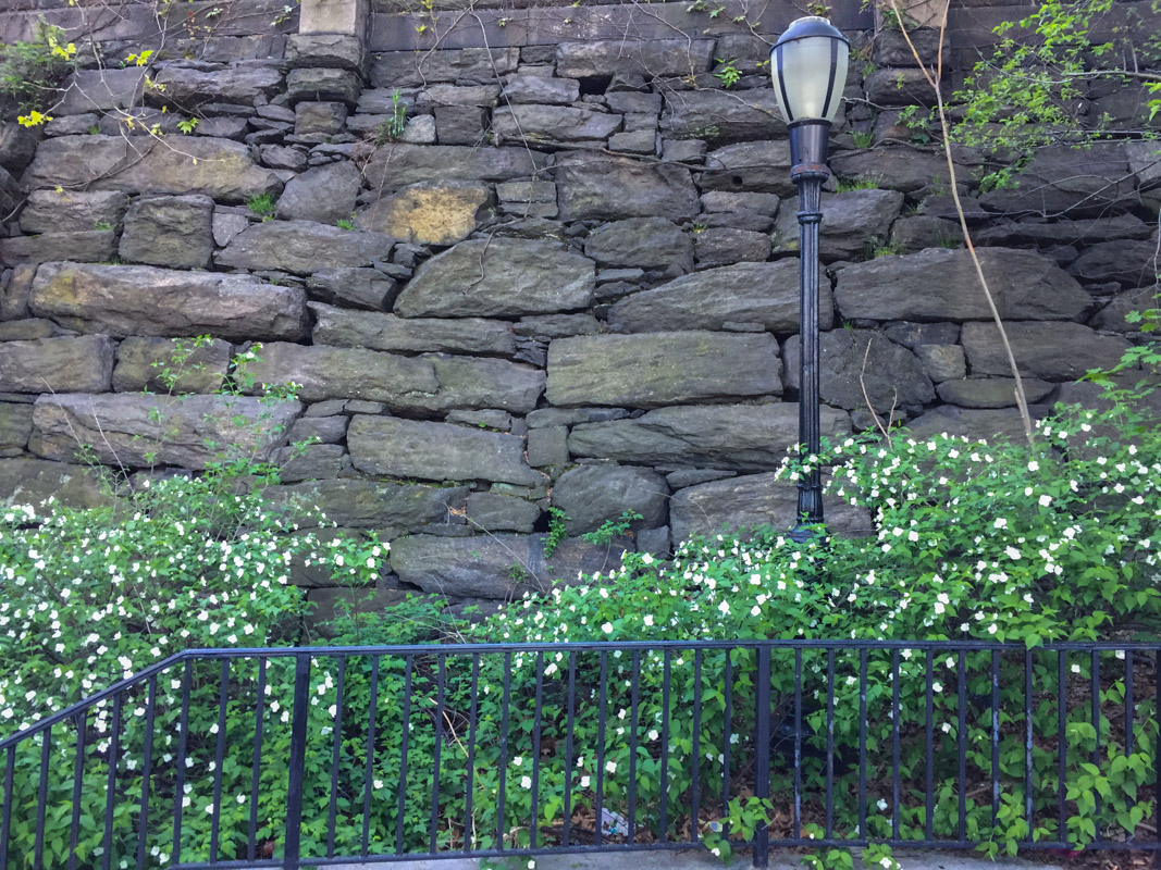
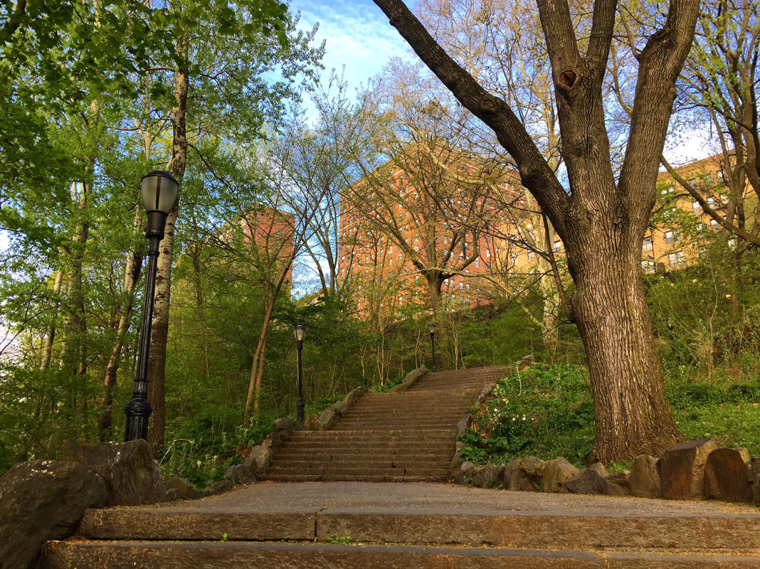
Ever since we moved here we have been frequent visitor to Morningside Park. We never actually spend time in the park though, it’s just a place we pass through while walking from the east side to the west side of Manhattan. It takes 30 minutes on a good day to do the trek from our apartment to Columbia University. And we get to pass through Marcus Garvey Park and the Mount Morris Park Historic District on the way too. There are no tall buildings like the ones you see downtown here. Well, there are a couple of tall houses but no real abundance of them. I usually go through the northern part of Morningside Park, but in the southern end there is even a beautiful waterfall! Maybe I’ll try to go by there this week.

Morningside Park Late April:

As I have mentioned earlier, I love stats, charts, documentation etc, and NYC has created this awesome 3D map of all the buildings in Manhattan, and you can color them by height. If you take a look at East Harlem you can see that the majority of buildings are 10-25 m and in central Harlem they get a bit taller but still below 50m (depending on the speed of your internet and power of your computer the 3D map might take a while to load). Of course there are a few taller ones, but its pretty eyeopening to see on a map like this.

Marcus Garvey Park mid to late April:

If you are interested in the demographics of the greater NYC area you can take a look at this map pdf from NYC department of city planning, which also has all the different neighborhoods listed. What you might notice too, is how the topography changes as you move throughout the city. Walking from the east side to the westside through Morningside park you will walk up three sets of long stairs. If you look at the pdf map I just mentioned, you can clearly see that the west side lays at a higher elevation compared to the east side. You can also se the specific demographics for all the different larger neighborhoods by going to NYC planning. NYC planning also have some more detailed demographic facts about all the different neighborhoods if you are into that. In some way NYC is a large model city, there are ton of studies about anything in the city and Manhattan. Air pollution, water quality, green roofs, sustainability and the list goes on.

Mount Morris Park Historic District:

A couple of weeks ago I wrote about all the great maps and info you can get from NYC Parks and Central Park Conservancy. If you are interested in seeing what tree species you pass during your walk you can take a look at NYC Parks list of all trees in NYC, its quite incredible if you think about it. They have mapped every single tree in the city, of course there might be some lag if a tree dies or so. There you can also report if a tree needs attention by NYC Parks. You will be able to also click on a tree and see what species it is. It has a count for all the trees in the different neighborhoods and also how much CO2 the city is offsetting by having all of those trees! The map is also color coded if you zoom out, based on the number of trees, where darker green corresponds to a high number of trees, and lighter green to low. Does anyone know of similar maps in other cities?

Morningside Park Late April: