When We biked to Millbrook

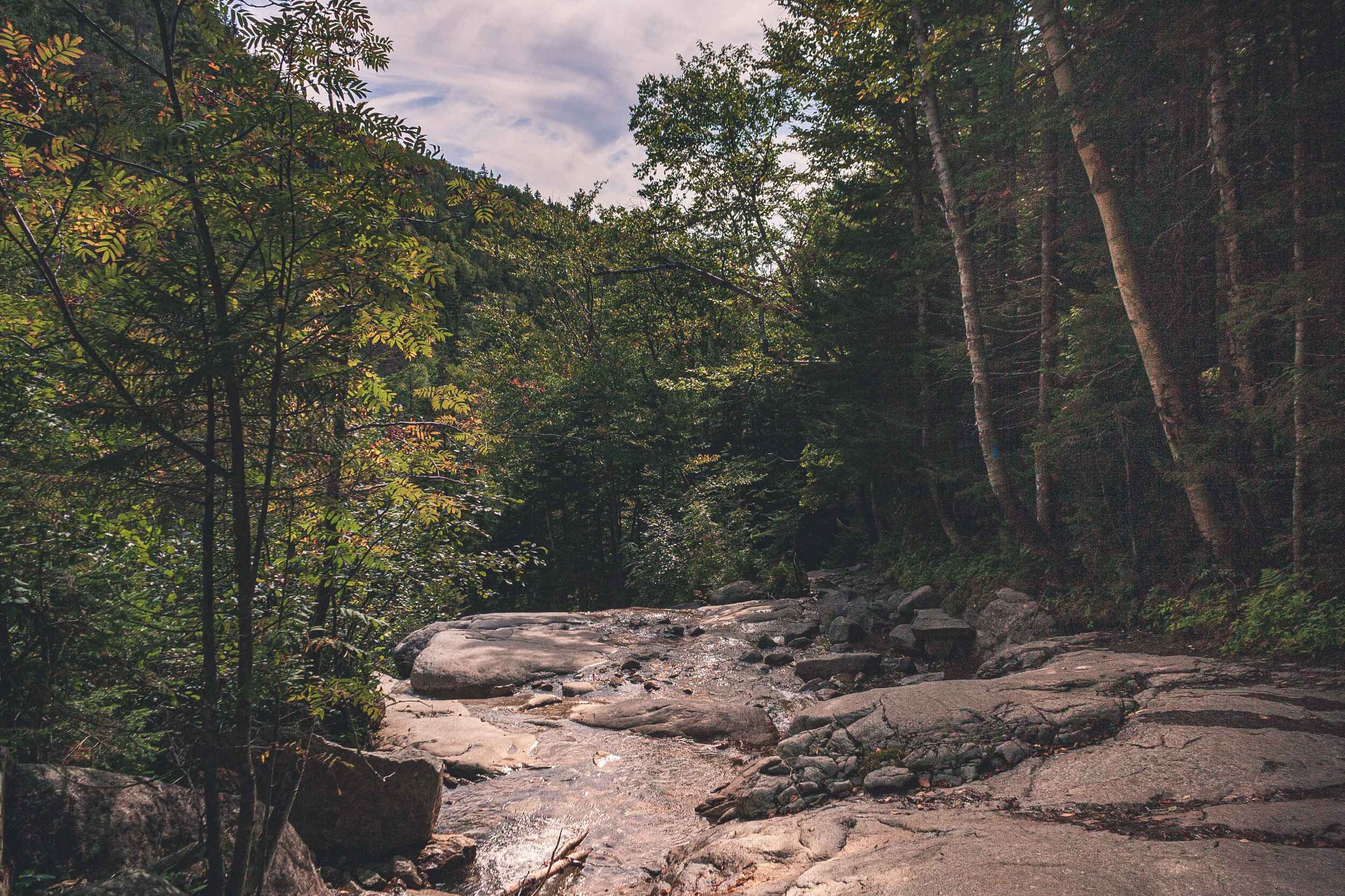
Around here, where we now live, there are many smaller roads. Roads that will take you past farms and horses. A month or so ago we took our bikes and went to Millbrook. It’s about 6 miles, one way to get there.

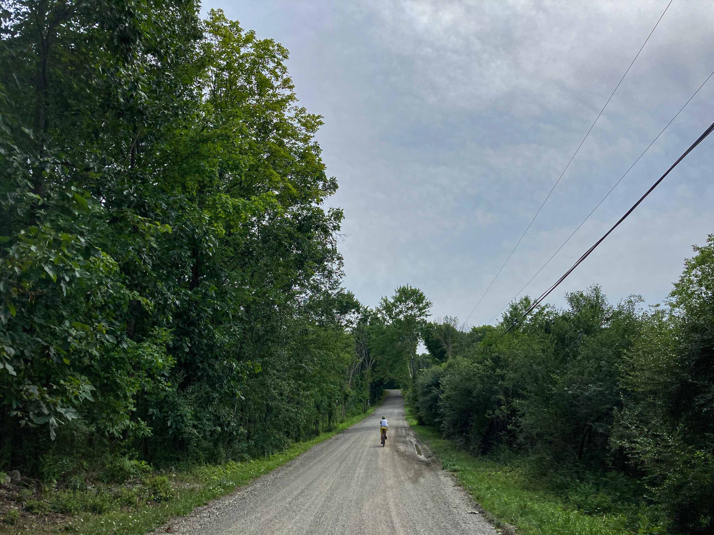
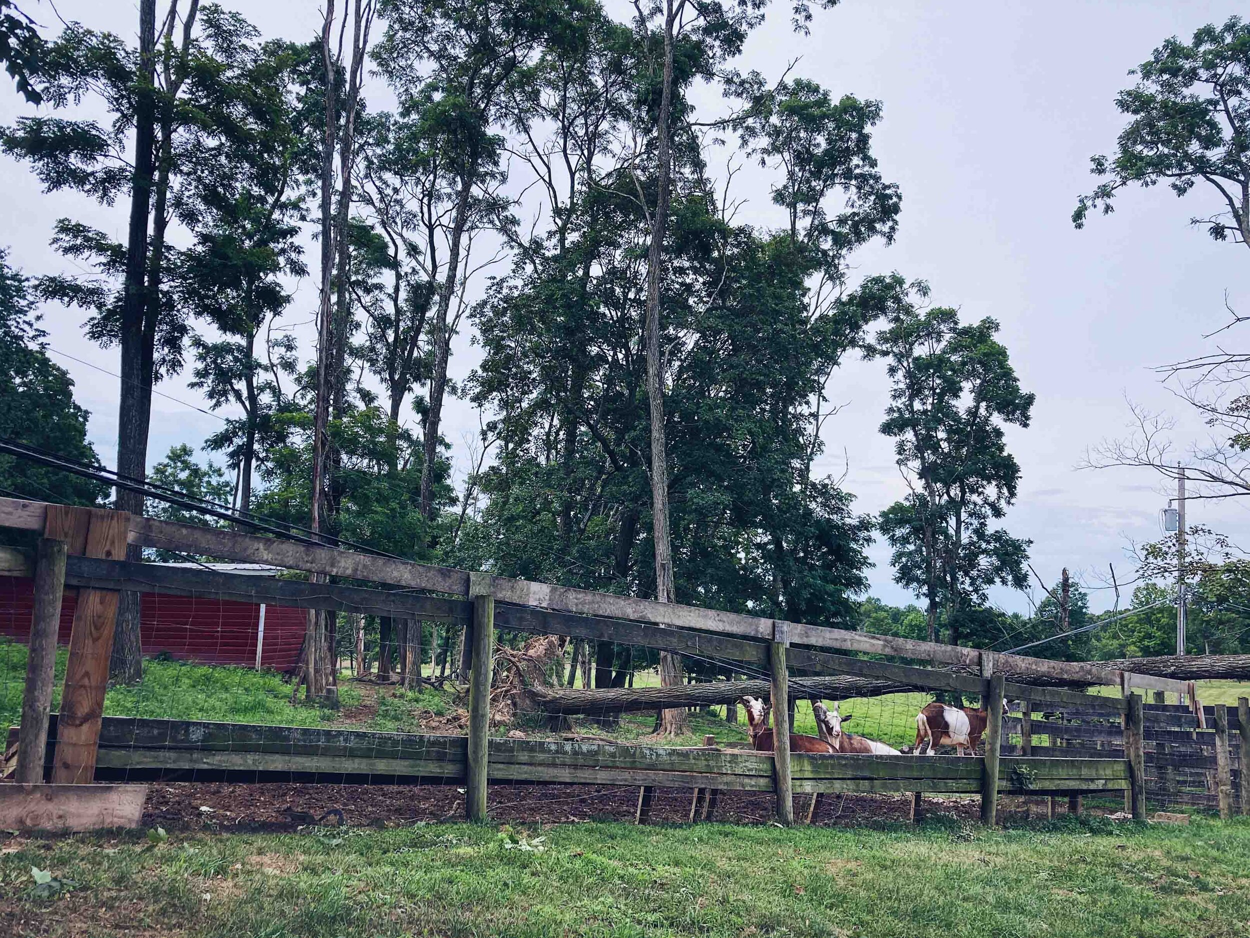
We biked past bunnies, turtles, goats, cows and horses. We really live on the countryside now. 190 people live in the nearest hamlet, and in Millbrook about 1500 people reside.

It still feels pretty weird that this is our home now, and that we are able to do all of this directly from our house. Life changes, and isn’t that great. This general area will be our permanent home now. We’ve been moving every second year the past 4 years so it will be nice to finally settle down.

WSVW2640-August 06, 2020.jpg

Millbrook is just like any other little village around the countryside in the US, although the villages here on the east coast are older than elsewhere. This general area houses many rich people, and you can clearly see that while biking or driving around. There are large mansions that you can buy for 13 million dollars here, if you can afford it. Many of these places you can’t necessarily see from the road, but the stone walls and fancy entrances to the driveways are telling those stories. But just like any other place there are houses that barely stands around here too.

Once we got to Millbrook we didn’t really spend too much time there. We bought a coffee and something to eat and went to the park. After maybe an hour we got on our bikes and biked home again. You could clearly tell that we were going slightly downhill now, which probably explains why I felt like I was dying biking there.

A hike on the East Coast - Franconia Ridge

Adventure Tuesday

Franconia Ridge

Last year we finally did another long hike on the east coast. The previous year we had done a pretty intense hike in the Adirondacks, and we’d been craving another one for quite some time. This time we drove to Woodstock New Hampshire and had planned to hike Franconia Ridge.

The White Mountains, but in New Hampshire

Franconia Ridge is a mountain ridge that belongs to the White Mountains. Not too surprisingly there are more mountains than the Alaskan that has the iconic name of White Mountains. This hike is very popular, and when we arrived at the parking lot some minutes before 9am the parking lot was already full. W dropped me off and he drove to an overflow parking area and took a shuttle bus back to the trailhead.

IMG_4887-September 15, 2019.jpg

Clockwise or counter clockwise?

As with many of the other hikes we have done we try to find those that give you magnificent views. We had read reviews about this hike, and I would say that the majority of them recommended to do the hike counter clockwise. But both W and I found information from others that this hike is best done clockwise. Not to surprisingly almost everyone else did the hike counter clockwise, which resulted in quite a few passing along the trail. Apparently there is a hiking book that clearly states that this hike should be done counter clockwise. But as with everything in life there are many different opinions about what is best and how you should do things. After doing the hike we still agree that the best way is to do it clockwise. In this way you get up in elevation pretty quick and descending is more gradual (although others might argue that the descent is hard on your knees, so maybe it depends on the status of those). The hike is rated as hard and it also says that only experienced hikers should do this 8.6 mile and 3,822 feet of elevation gain hike. You’re not only getting one peak, but three peaks during this hike, all above 4,500 feet. Franconia Ridge is part of the Appalachian trail, and maybe that is one of many reasons it is so heavily trafficked.

September 15th, 2019

We started the hike and started to ascend one of the peaks almost immediately, which also meant pretty steep conditions. Just like the hike in the Adirondacks we had done the year before, we found ourselves climbing over large boulders for big chunks of the hike. The geology on the east coast is incredible. As with other longer hikes, I had to bite my tongue to not stop all the time to take photos, and I ended up leaving the digital camera in the backpack during many sections of the trail. It’s about 2.6 miles to the AMC hut, and there are quite a few people hiking only to that hut. Here you can get a meal and also spend the night if need be.

Mount Lafayette

From the AMC hut we quickly continued upwards, towards Mount Lafayette that sits on an incredible 5,242 feet. It’s about 1.1 miles to the peak, but you will also gain about 985 feet during that mile. Once we eventually reached the top of the mountains we had 360 degree views of the White Mountains. We were incredible lucky with the weather and were treated with both a blue sky and warm weather. We had to pass a lot of people of course, since everyone else tend to do the hike counter clockwise, and just like Algonquin Peak in the Adirondacks you are in a very fragile alpine zone up here so it is important to watch were you step, if you have to step off the trail.

Once you’re up on the ridge you don’t really take note of the second and third peak. Or rather there isn’t a big sensation about reaching those peaks since you already done the tallest of the three. Just like the trail reviews and description says there were a lot of people up on the ridge. I don’t think I have ever seen that many people on a hike before. My photos might not show it, but believe me, there were a lot of people here.

Everyone wants a selfie with the mountains and the view :)

You are constantly hiking up and down and up an down. But knowing that you will eventually get to descend might be the biggest driver to keep moving, well, that and the constant views of course. We came for the view though and we got the views we wanted. It’s hard to not constantly stand and look at the views and and the ridge. Eventually you have to get down too!

After a couple of hours we had finally conquered the last peak and started the long way home, or well down. Along the ridge line it’s windy of course, windy enough to stunt the growth of the trees. We are in the alpine zone, so eventually as you hike up no trees are able to establish.

We walked and walked, and walked. The trees got taller and taller until we were out of the alpine zone and found ourselves in the forest, the forest of many waterfalls. I guess there is a reason why this part of the trail is named Falling Waters Trail. We crossed, creeks, and stumbled through waterfalls, just like the hike up Algonquin Peak. I always feel bad hiking like this, the trail looks as if it’s been eroded by everyone hiking. But I am sure this is due to the fact that the geology is like this here on the east coast.

Per usual the legs were already filled with lactic acid and we were both struggling to keep the energy level up. It is very strenuous to constantly hike on boulders. It felt like an eternity, and as with other long hikes we do there is always this worry that darkness will hit before we are done. Halfway down we met two hikers going up. A little late maybe, and they were hiking in flip flops. Or rather, one of them were carrying a pair of broken flip flops and was hiking barefoot. Sometimes I wonder how people make decisions like that, to hike up a mountain in flip flops? We continued down and I guess the waterfalls saved us from getting too bored along the way.

It took about 5-6 hours to finish this hike, so not as long time we took to do Algonquin Peak. But we were so tired afterwards. Another hike that definitely kicked our butts. We were so lucky that the weather cooperated with us.

When we Biked to Battery Park and Across the Brooklyn Bridge - Life in NYC

June 28, 2020

You couldn’t stay indoors all the time of course, at least not now in June when the number of virus cases had dropped so much. So we went on another bike ride. This time we headed towards Battery Park and the most southern tip of Manhattan. We started off by biking across Manhattan towards Riverside Park (from the east side to the west side). There we had a breakfast bagel, from one of the famous bagel shops I don’t remember the name of before we headed south. The bagels were no sensation, but they tasted good. The whitefish topping was definitely the go to at this place, quite suprisingly since I always love the lox option. It was the end of June, and just like any other day it was hot. Very hot.

IMG_4241-June 28, 2020.jpg

Up north on Manhattan we didn’t really have any bike traffic, but as with everything it started to pick up as we made our way south. Or that could maybe also be explained by the fact that the bike trail narrows here and there down there.

Eventually we arrived to an empty Battery Park. It wasn’t until then we actually felt how hot it was. We both felt very exhausted and went to some of the park benches in the shadow to relax a bit. To my surprise it seemed as if the boats that take you to Ellis Island had started to take customers again.

We started to move towards the east side of the southern tip, and started the long way home.

As we approached Brooklyn Bridge I don’t know what flew into me, but I yelled to W, - Don’t you think we should bike across the Brooklyn Bridge now when there are so few people in the city? I had been so tired, and I was still pretty tired, but the thought of finally biking across the Brooklyn Bridge energized me. Of course this was also in the midst of all the protest going on, and rightfully so. The case of defunding the police is very complicated but somethings got to change, seriously. If you haven’t already check the play by play of Breanna Taylors murder. It’s actually kind of disturbing and makes me so angry, but that is a totally different story, and what is even more disturbing is that there are countless of other stories like this one.

I guess that after the trip over to Brooklyn we really started the long way home. Not only did we do Brooklyn Bridge, but we also decided to take on Williamsburg Bridge while we were at it. I know, don’t ask me what we were thinking. It was a bit complicated to follow the bike route to the famous pink Williamsburg bridge but we finally arrived and got back to Manhattan.

PDIL5170-June 28, 2020.jpg

At this point we were all out of water and the heat, talk about the heat. I was not in a good mood and needed some energy. Luckily we found a vending machine that carried Gatorade and the day was saved.

About 25 miles later, and several hours from the start in Riverside park we finally got to our street in East Harlem. I could hardly carry my bike up the stairs. But as I was laying on the floor in our cold apartment I silently promised myself to never ever do that again.