Adventure Tuesday
Franconia Ridge
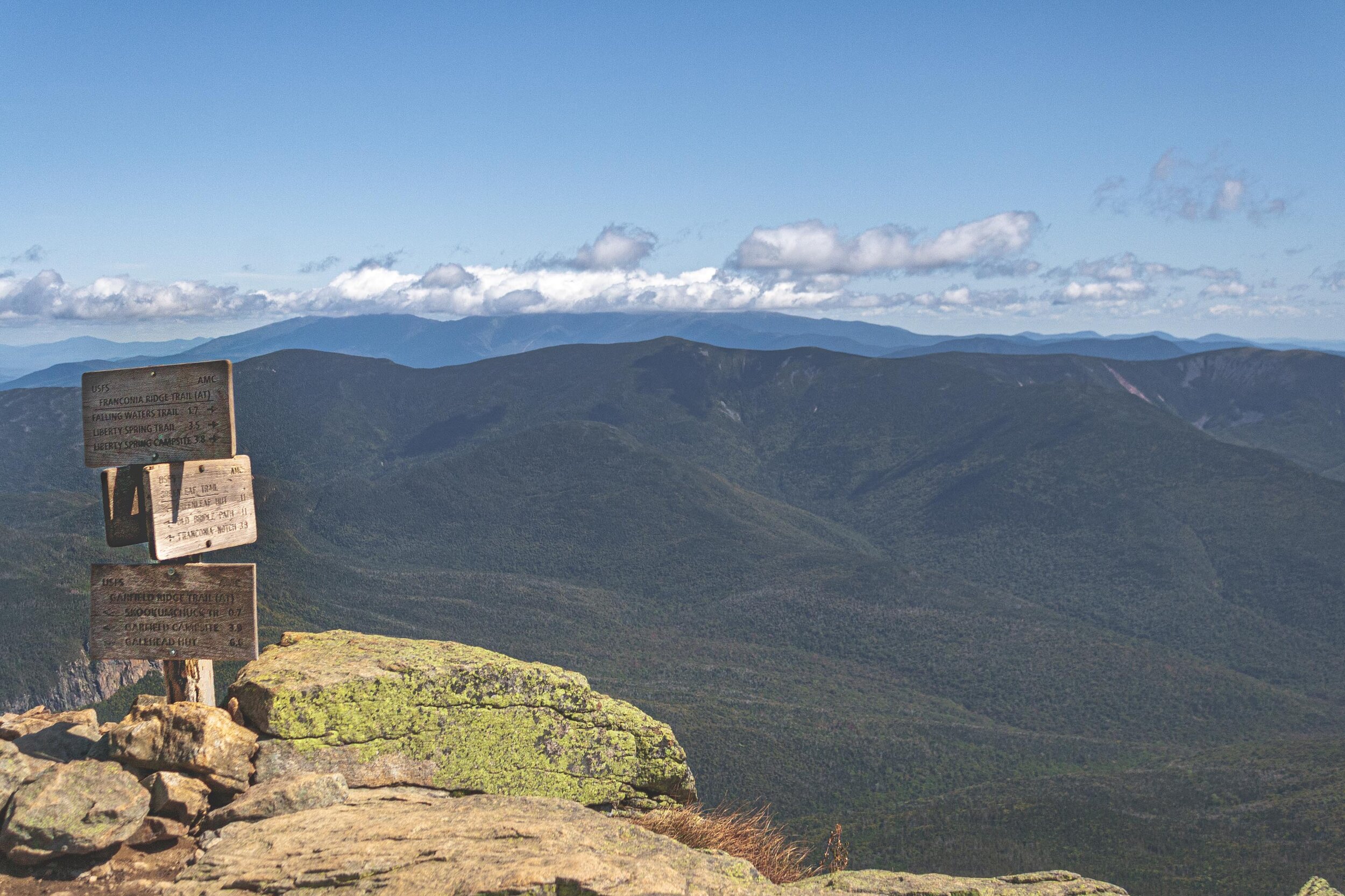
Last year we finally did another long hike on the east coast. The previous year we had done a pretty intense hike in the Adirondacks, and we’d been craving another one for quite some time. This time we drove to Woodstock New Hampshire and had planned to hike Franconia Ridge.
The White Mountains, but in New Hampshire
Franconia Ridge is a mountain ridge that belongs to the White Mountains. Not too surprisingly there are more mountains than the Alaskan that has the iconic name of White Mountains. This hike is very popular, and when we arrived at the parking lot some minutes before 9am the parking lot was already full. W dropped me off and he drove to an overflow parking area and took a shuttle bus back to the trailhead.
Clockwise or counter clockwise?
As with many of the other hikes we have done we try to find those that give you magnificent views. We had read reviews about this hike, and I would say that the majority of them recommended to do the hike counter clockwise. But both W and I found information from others that this hike is best done clockwise. Not to surprisingly almost everyone else did the hike counter clockwise, which resulted in quite a few passing along the trail. Apparently there is a hiking book that clearly states that this hike should be done counter clockwise. But as with everything in life there are many different opinions about what is best and how you should do things. After doing the hike we still agree that the best way is to do it clockwise. In this way you get up in elevation pretty quick and descending is more gradual (although others might argue that the descent is hard on your knees, so maybe it depends on the status of those). The hike is rated as hard and it also says that only experienced hikers should do this 8.6 mile and 3,822 feet of elevation gain hike. You’re not only getting one peak, but three peaks during this hike, all above 4,500 feet. Franconia Ridge is part of the Appalachian trail, and maybe that is one of many reasons it is so heavily trafficked.
September 15th, 2019
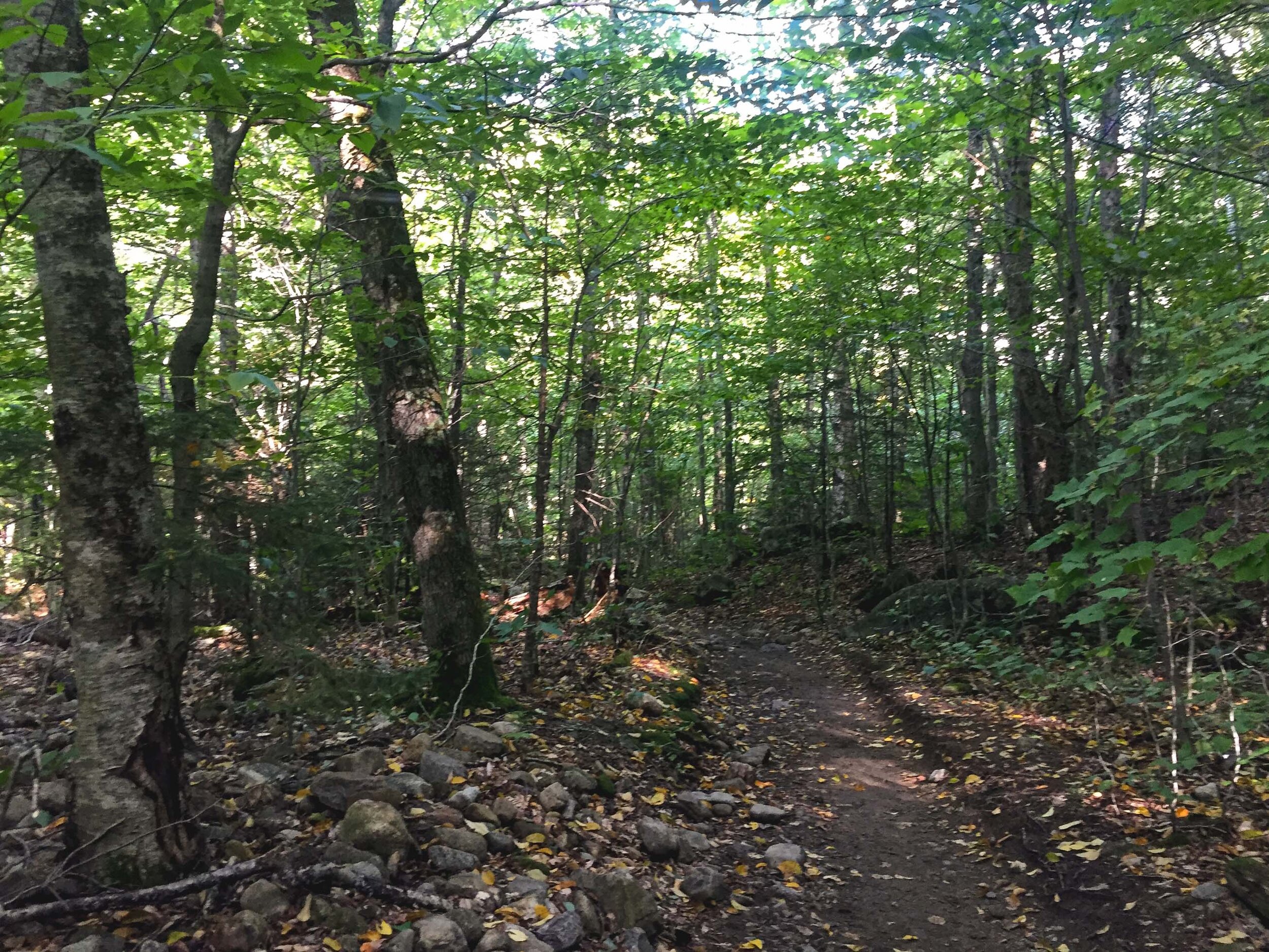
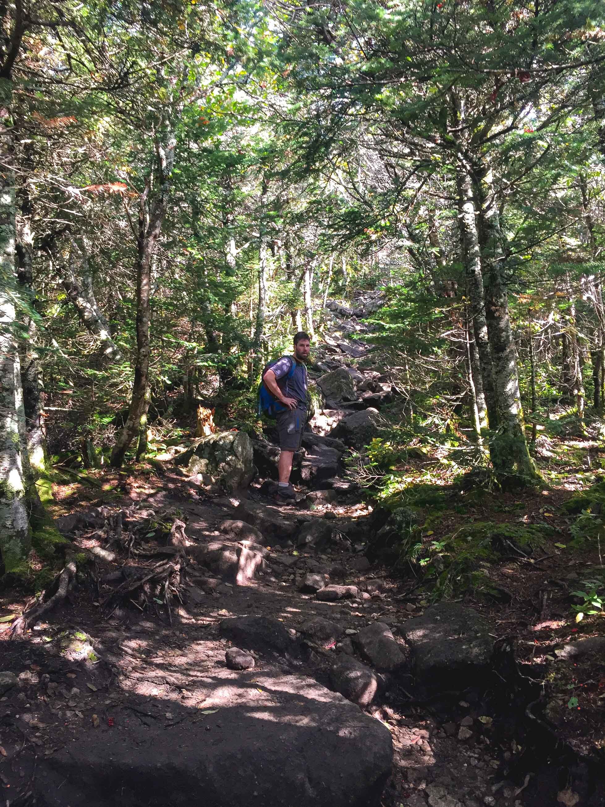
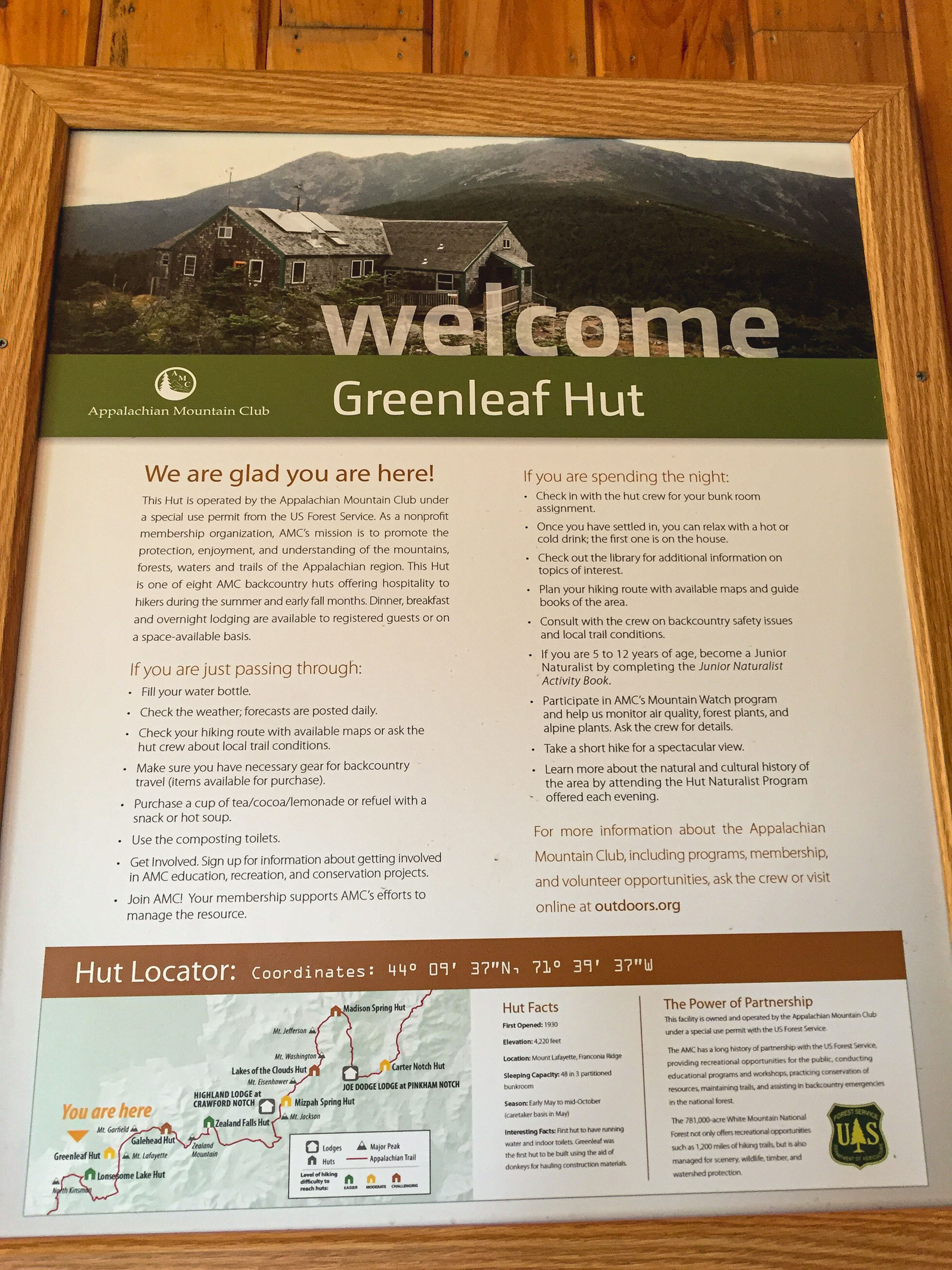
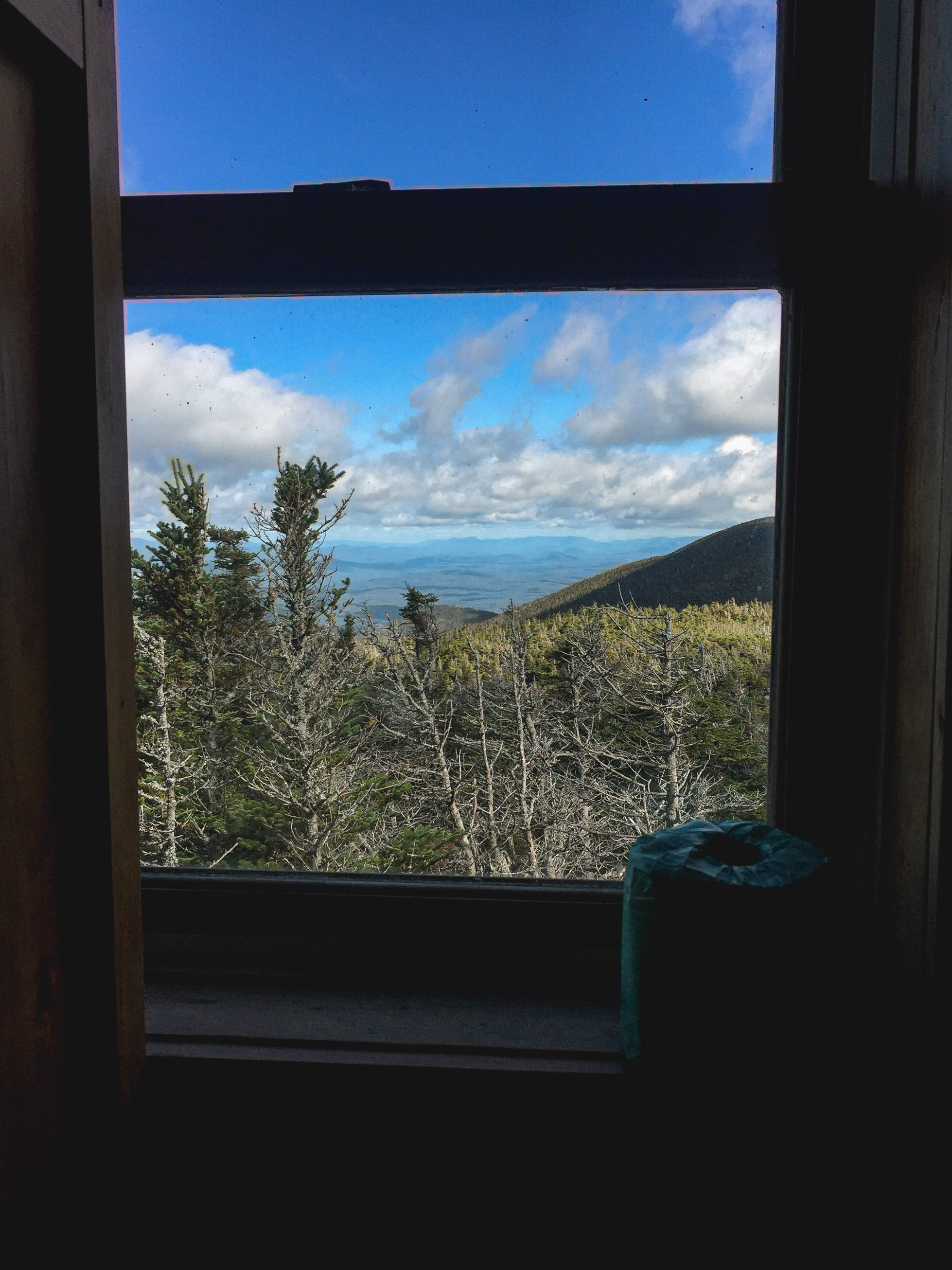
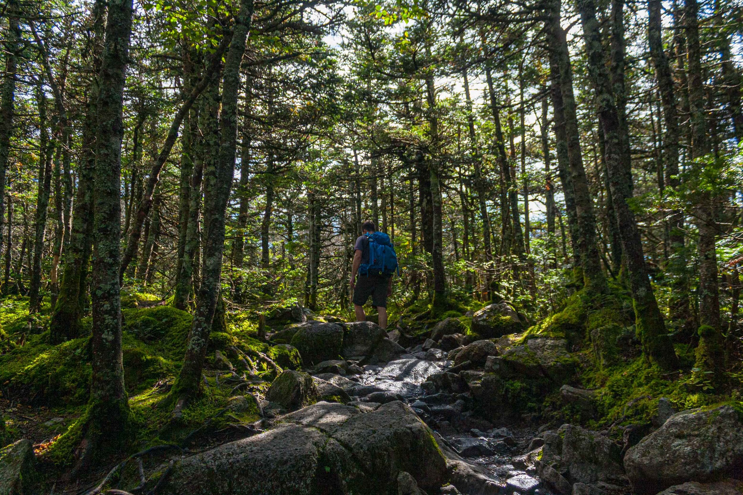
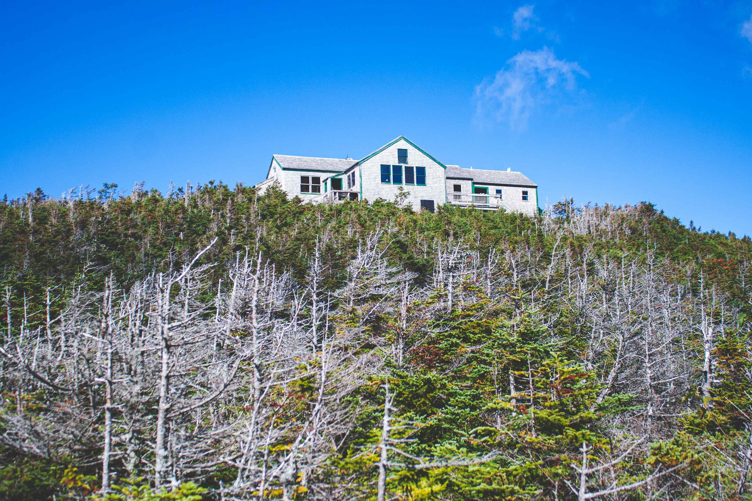
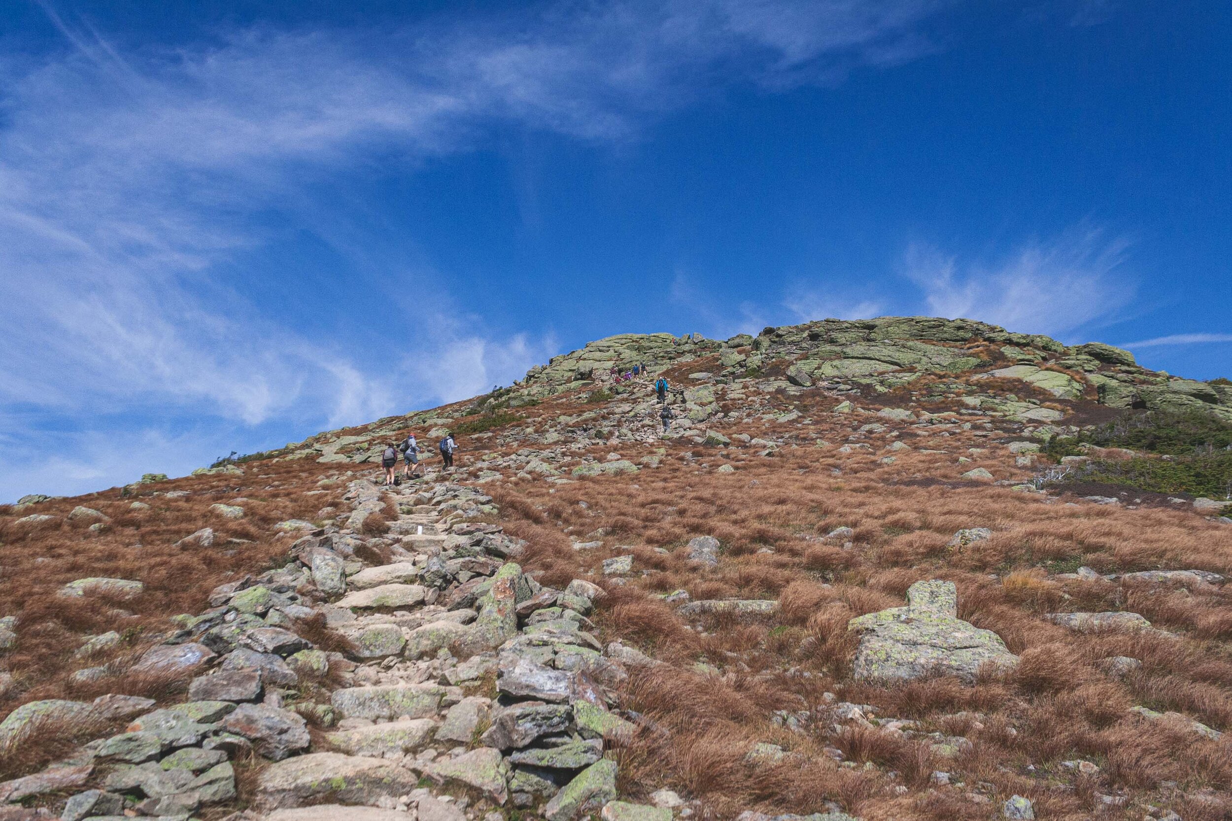
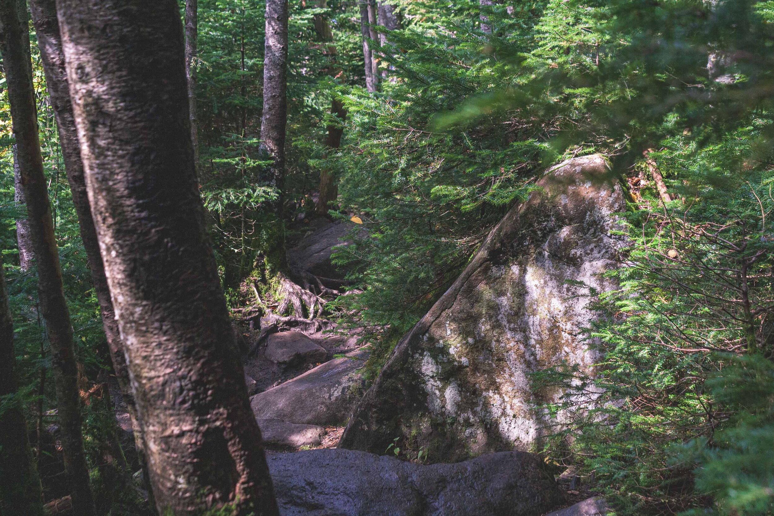
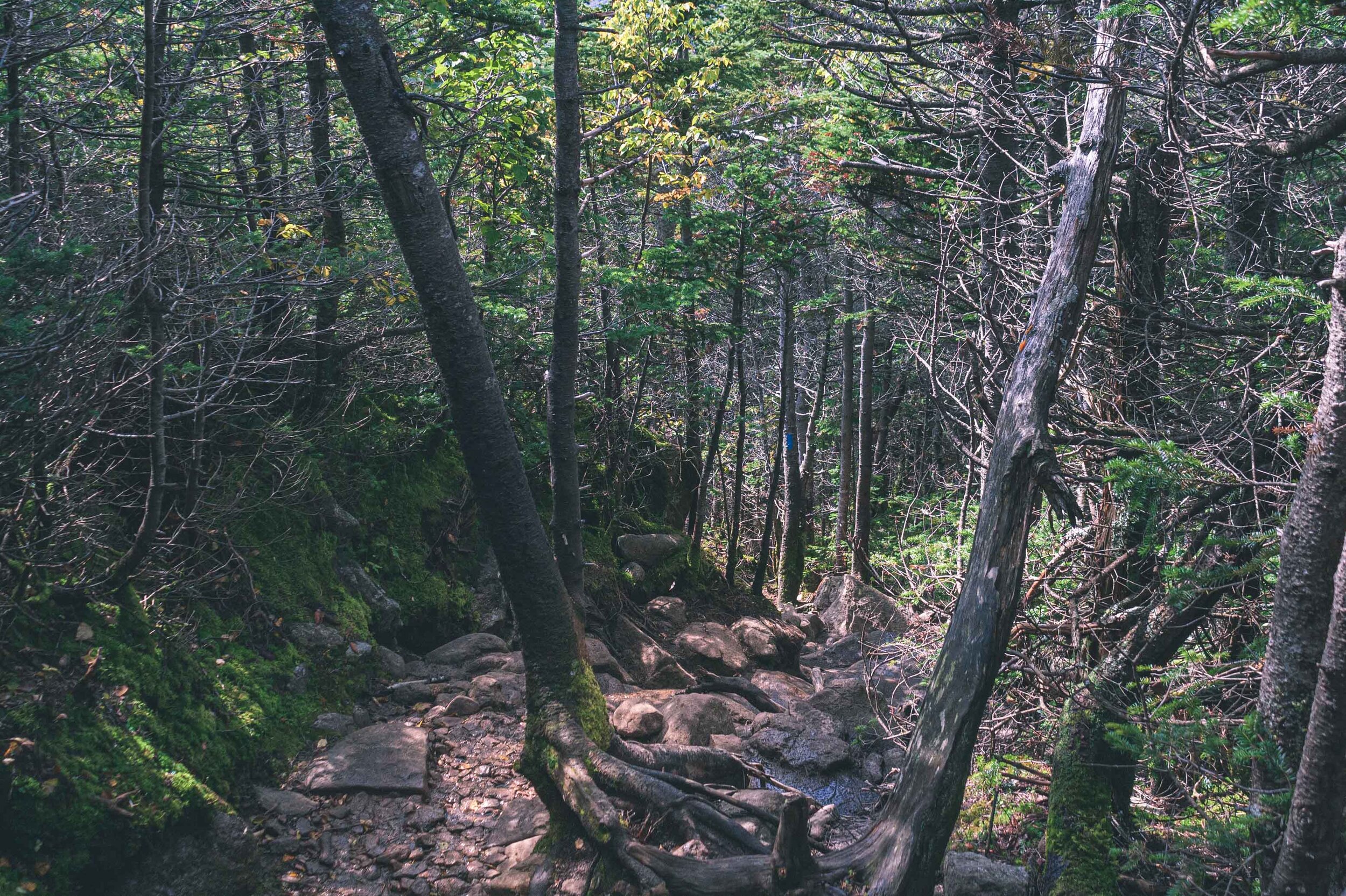
We started the hike and started to ascend one of the peaks almost immediately, which also meant pretty steep conditions. Just like the hike in the Adirondacks we had done the year before, we found ourselves climbing over large boulders for big chunks of the hike. The geology on the east coast is incredible. As with other longer hikes, I had to bite my tongue to not stop all the time to take photos, and I ended up leaving the digital camera in the backpack during many sections of the trail. It’s about 2.6 miles to the AMC hut, and there are quite a few people hiking only to that hut. Here you can get a meal and also spend the night if need be.
Mount Lafayette
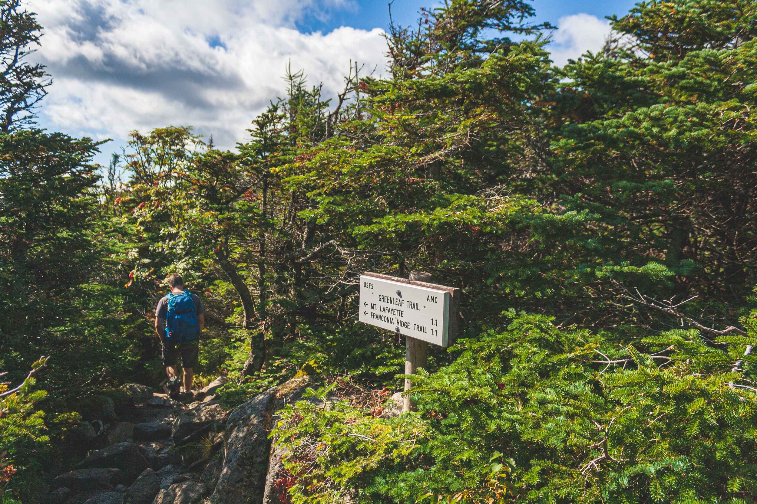
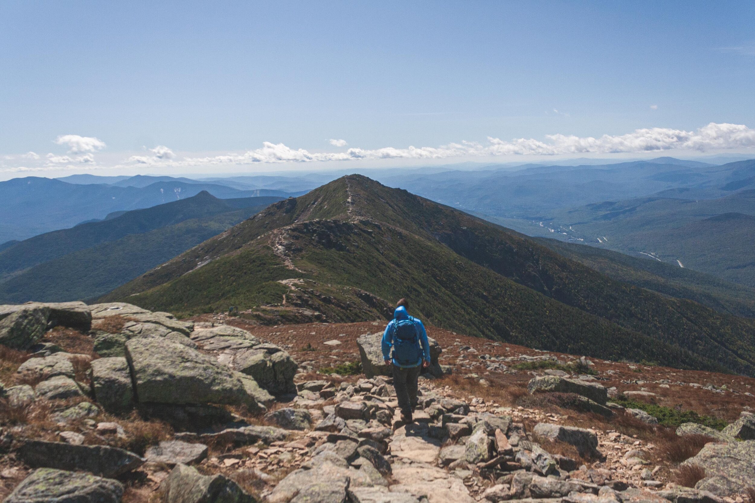
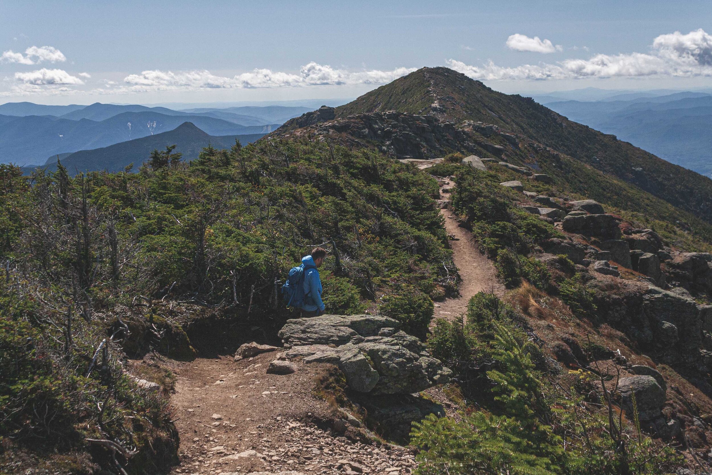
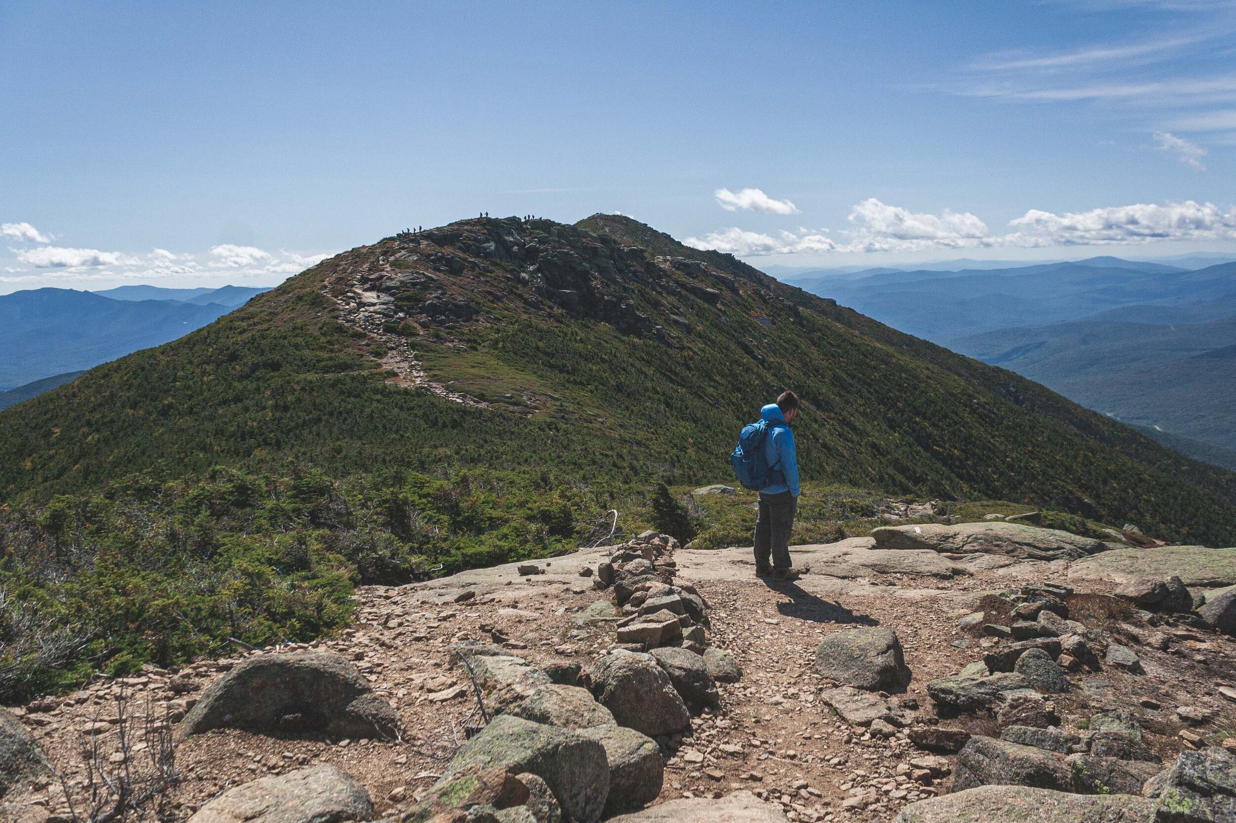
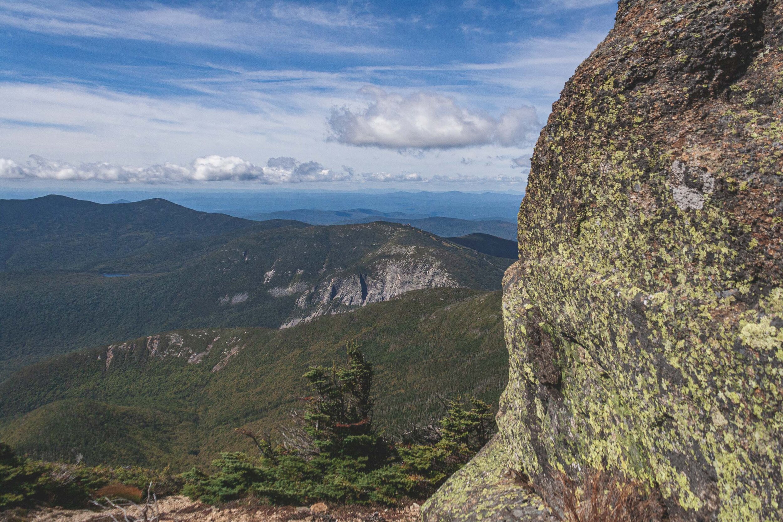
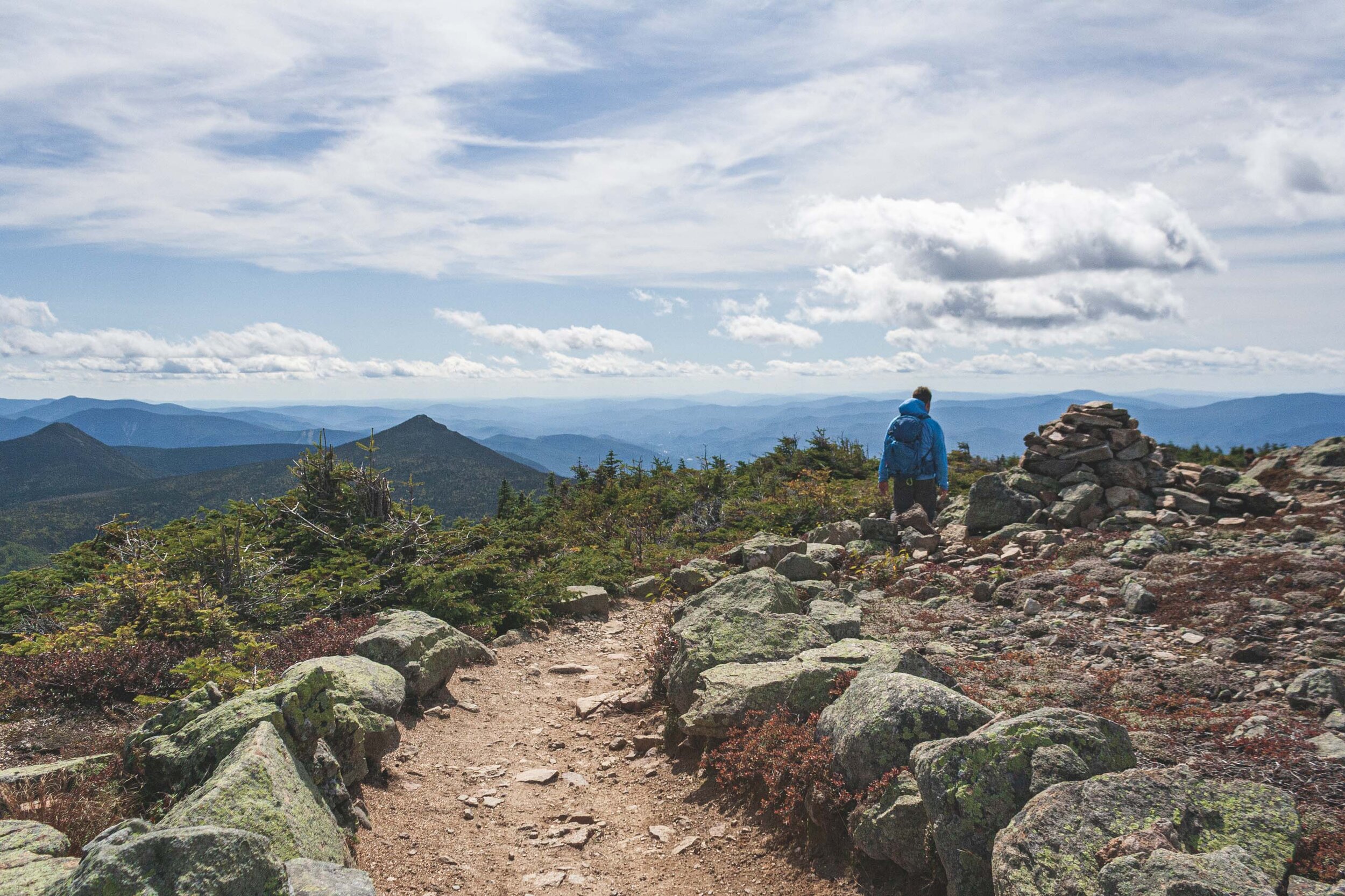
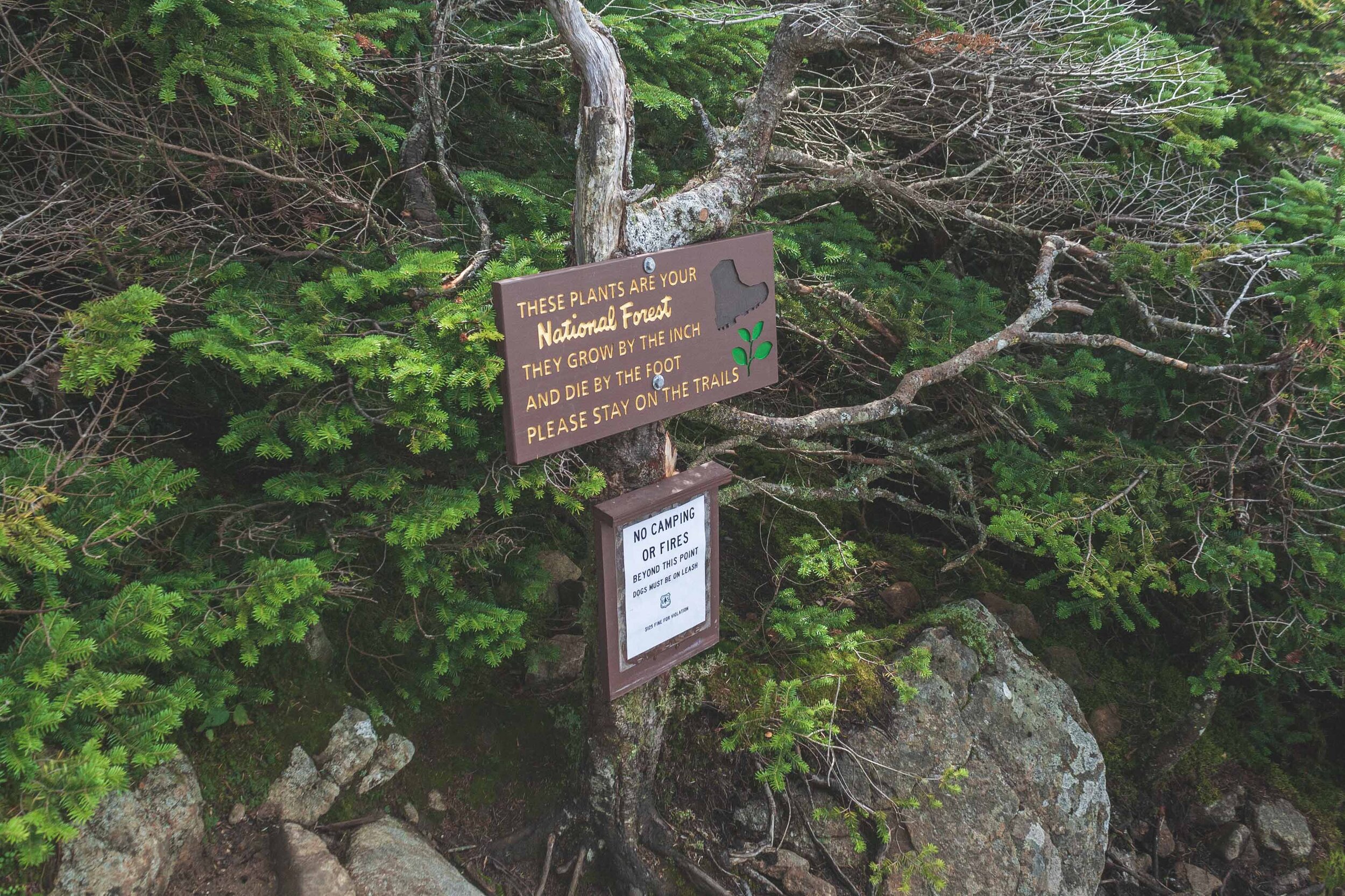
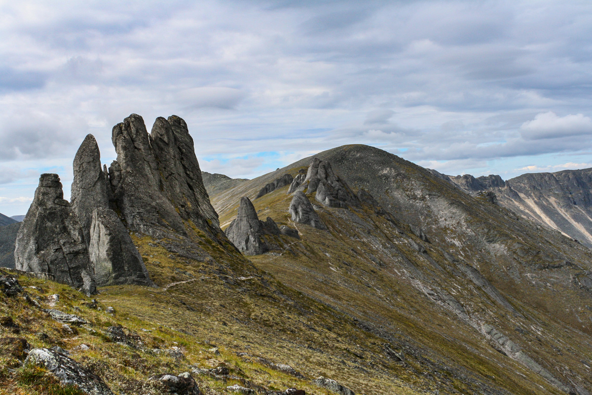
From the AMC hut we quickly continued upwards, towards Mount Lafayette that sits on an incredible 5,242 feet. It’s about 1.1 miles to the peak, but you will also gain about 985 feet during that mile. Once we eventually reached the top of the mountains we had 360 degree views of the White Mountains. We were incredible lucky with the weather and were treated with both a blue sky and warm weather. We had to pass a lot of people of course, since everyone else tend to do the hike counter clockwise, and just like Algonquin Peak in the Adirondacks you are in a very fragile alpine zone up here so it is important to watch were you step, if you have to step off the trail.
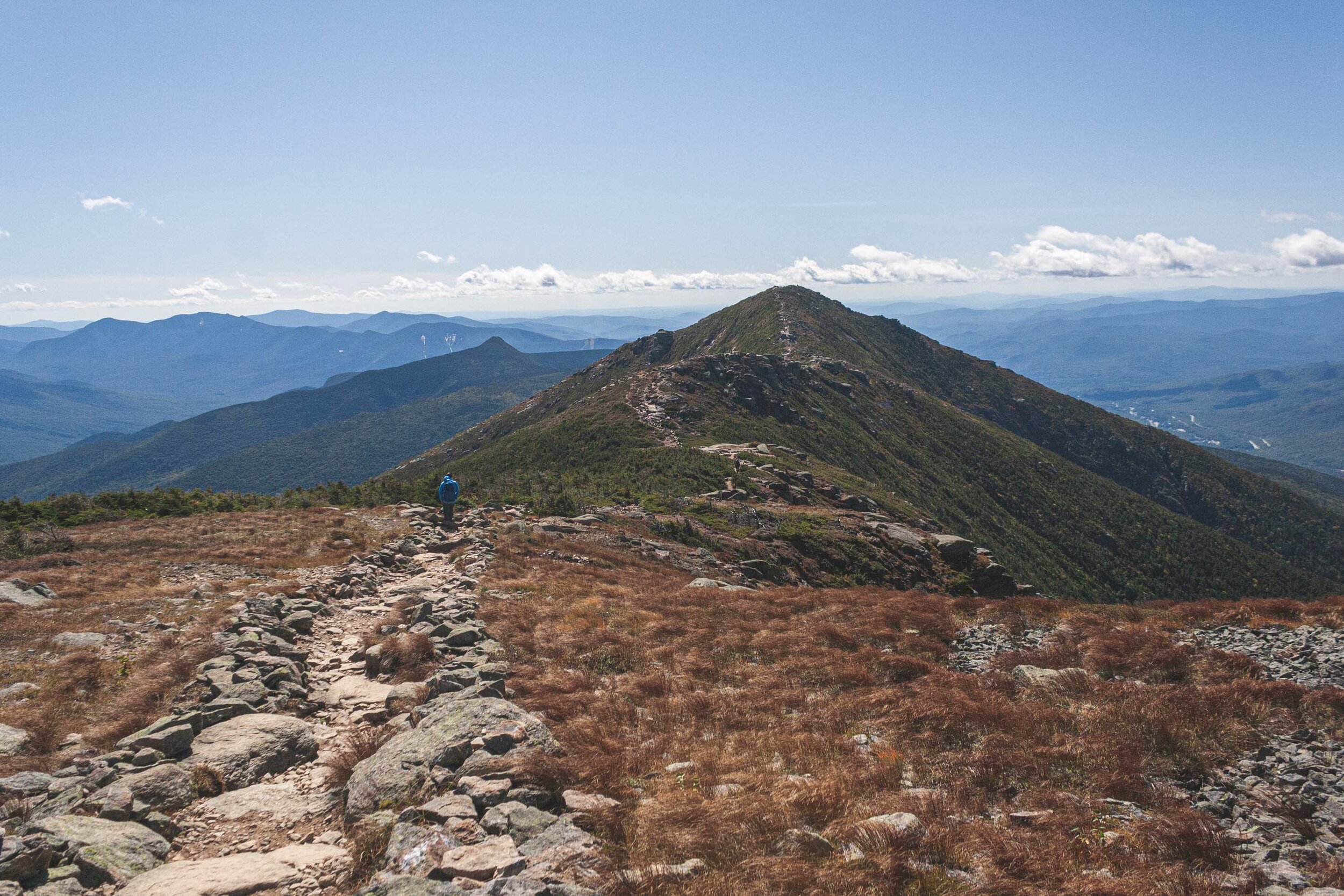
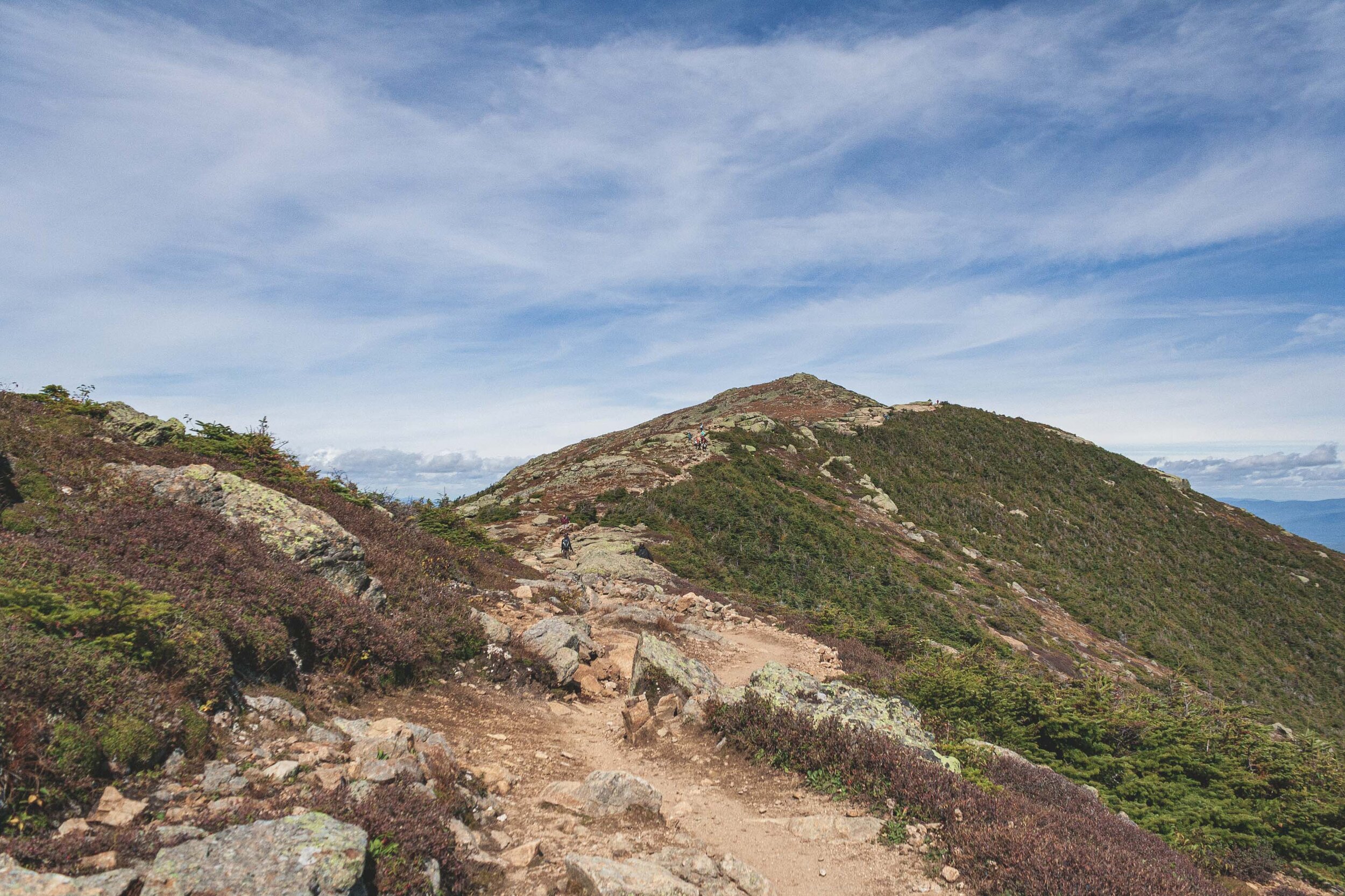
Once you’re up on the ridge you don’t really take note of the second and third peak. Or rather there isn’t a big sensation about reaching those peaks since you already done the tallest of the three. Just like the trail reviews and description says there were a lot of people up on the ridge. I don’t think I have ever seen that many people on a hike before. My photos might not show it, but believe me, there were a lot of people here.
Everyone wants a selfie with the mountains and the view :)
You are constantly hiking up and down and up an down. But knowing that you will eventually get to descend might be the biggest driver to keep moving, well, that and the constant views of course. We came for the view though and we got the views we wanted. It’s hard to not constantly stand and look at the views and and the ridge. Eventually you have to get down too!
After a couple of hours we had finally conquered the last peak and started the long way home, or well down. Along the ridge line it’s windy of course, windy enough to stunt the growth of the trees. We are in the alpine zone, so eventually as you hike up no trees are able to establish.
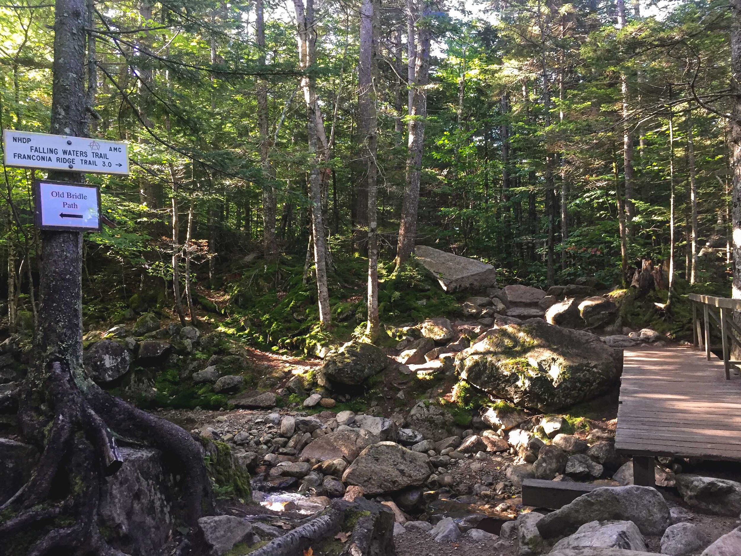
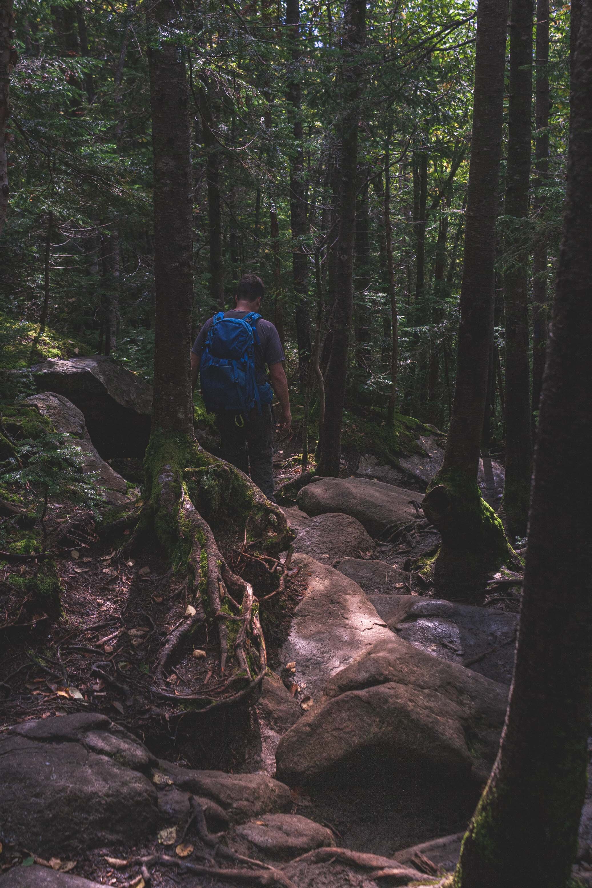
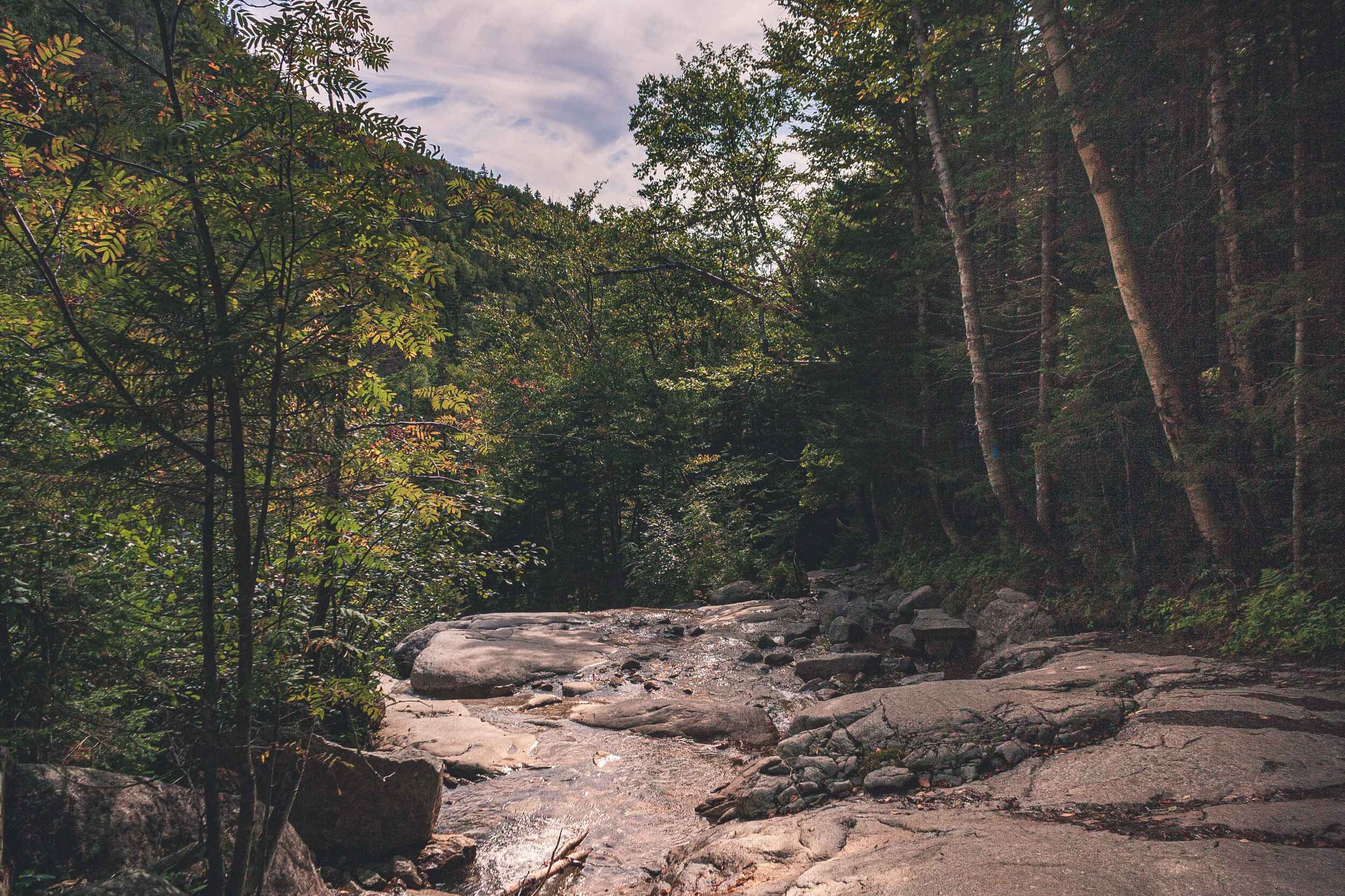
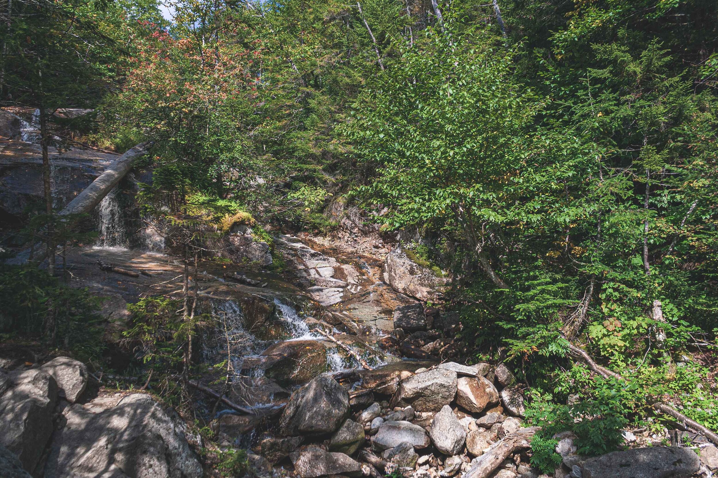
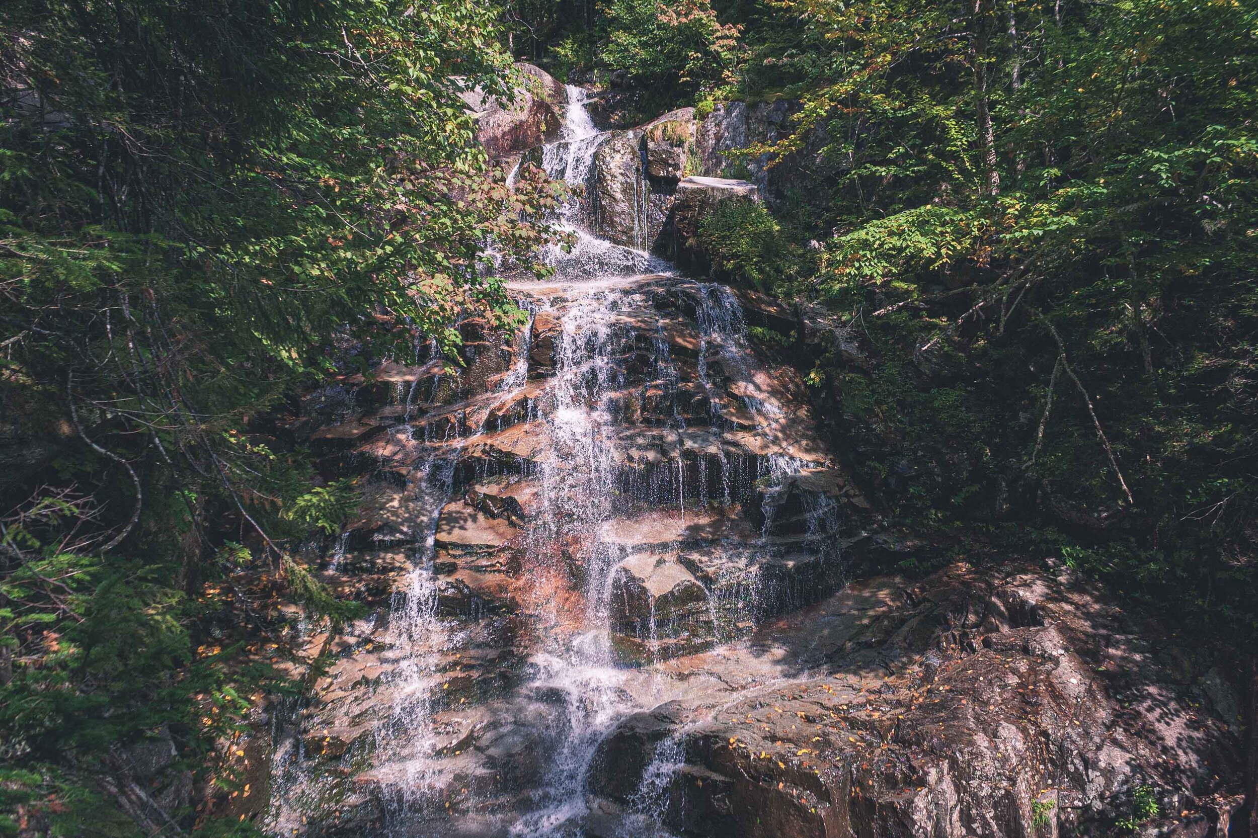
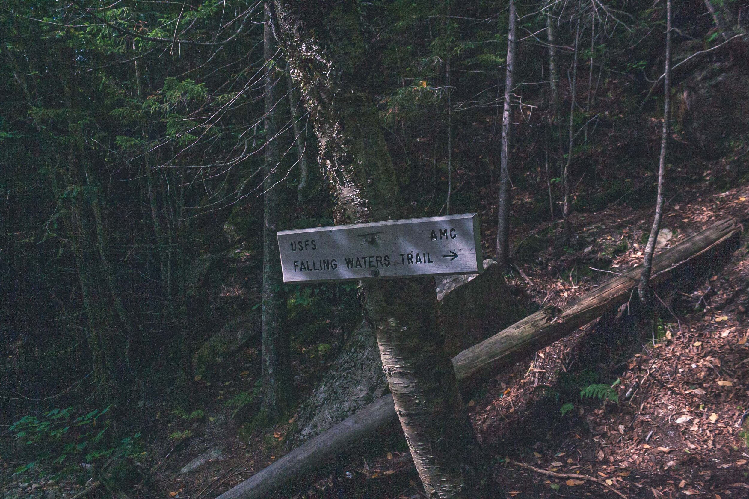
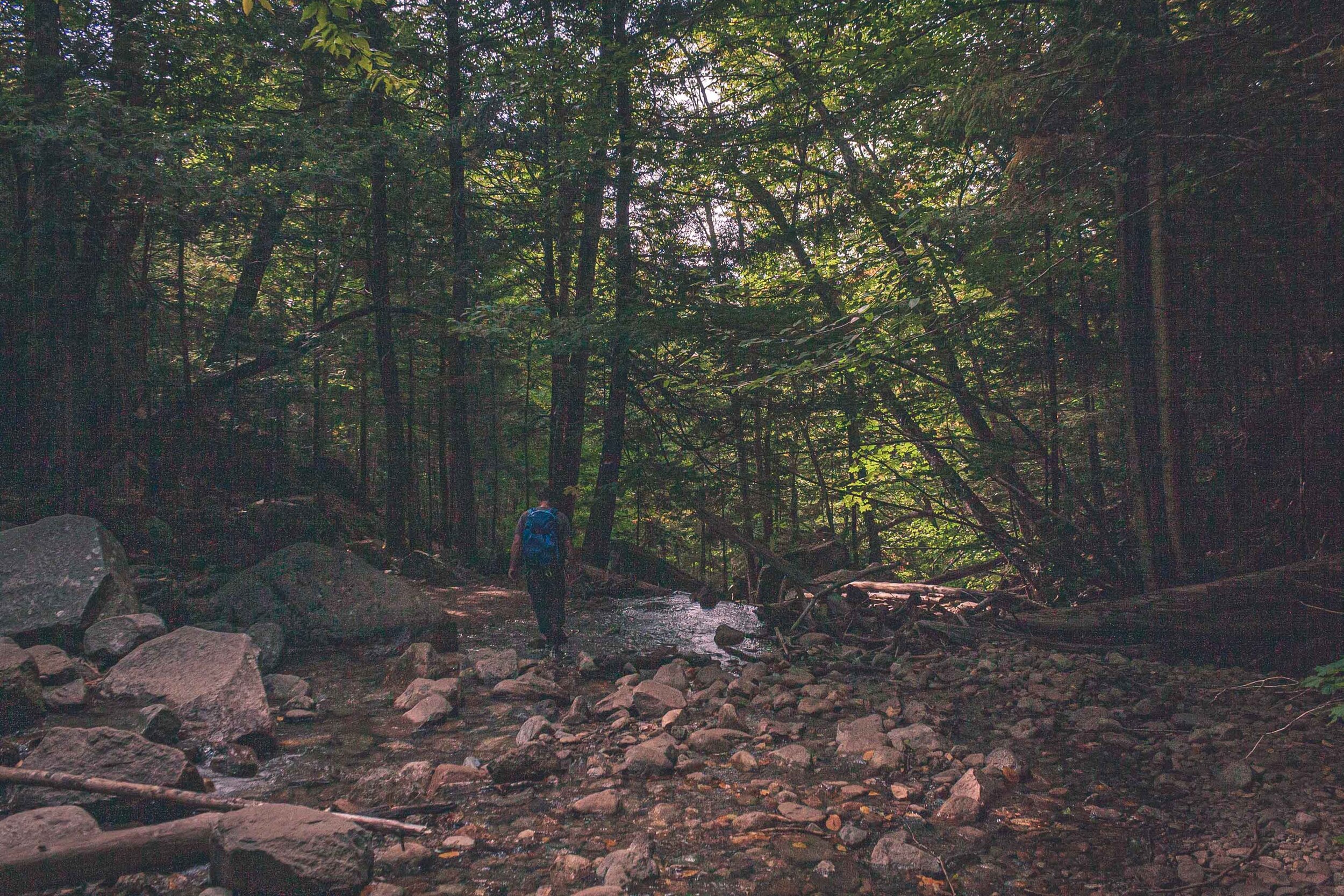
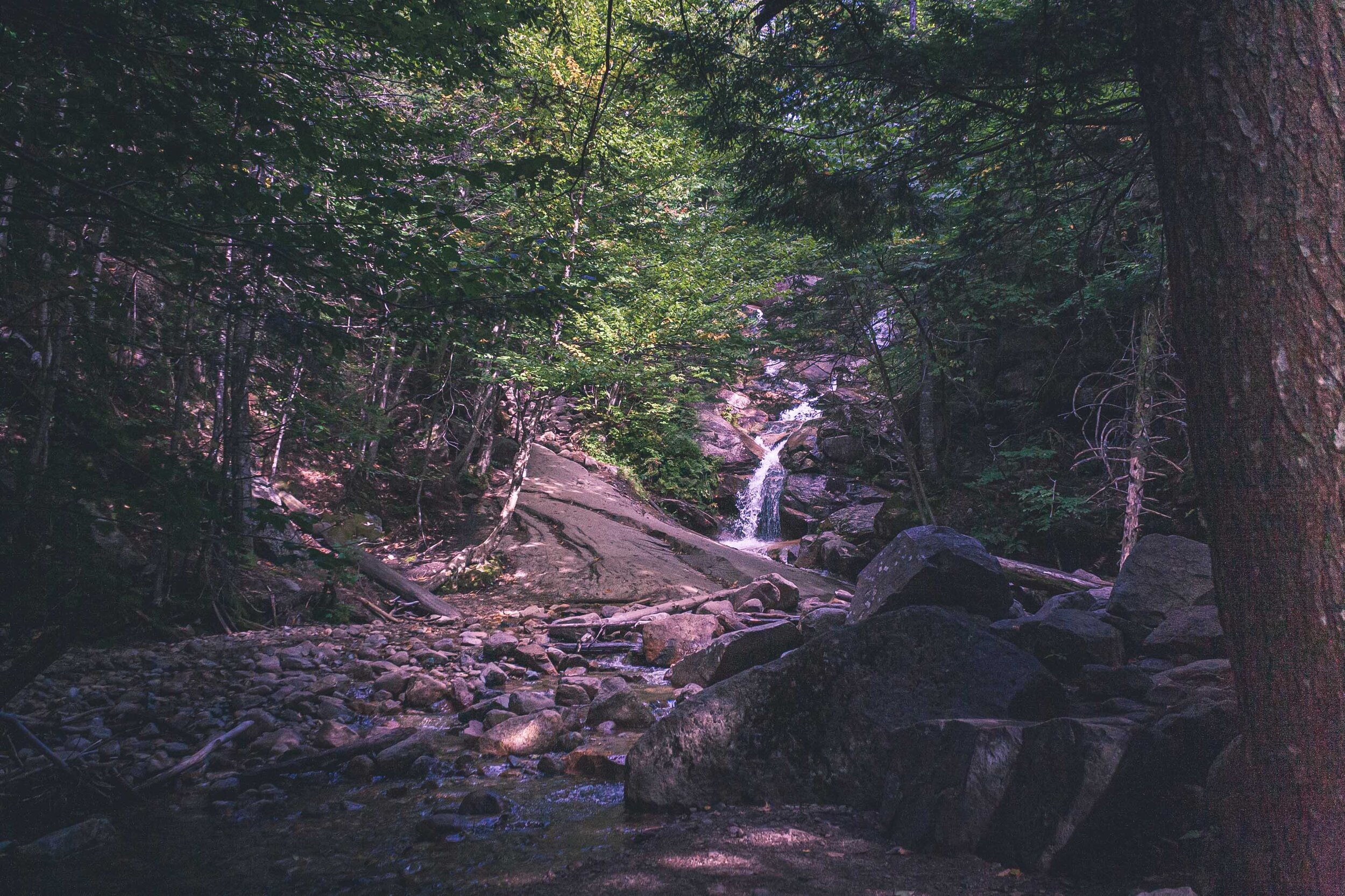
We walked and walked, and walked. The trees got taller and taller until we were out of the alpine zone and found ourselves in the forest, the forest of many waterfalls. I guess there is a reason why this part of the trail is named Falling Waters Trail. We crossed, creeks, and stumbled through waterfalls, just like the hike up Algonquin Peak. I always feel bad hiking like this, the trail looks as if it’s been eroded by everyone hiking. But I am sure this is due to the fact that the geology is like this here on the east coast.
Per usual the legs were already filled with lactic acid and we were both struggling to keep the energy level up. It is very strenuous to constantly hike on boulders. It felt like an eternity, and as with other long hikes we do there is always this worry that darkness will hit before we are done. Halfway down we met two hikers going up. A little late maybe, and they were hiking in flip flops. Or rather, one of them were carrying a pair of broken flip flops and was hiking barefoot. Sometimes I wonder how people make decisions like that, to hike up a mountain in flip flops? We continued down and I guess the waterfalls saved us from getting too bored along the way.
It took about 5-6 hours to finish this hike, so not as long time we took to do Algonquin Peak. But we were so tired afterwards. Another hike that definitely kicked our butts. We were so lucky that the weather cooperated with us.


